 Block
Fish Village, Alaska
10 topographic sheets cover this place, the earliest surveyed in 1952 and the latest in 1952. It stands in Kusilvak census subarea. The Survey maps it on the Kwiguk C-4 SW quadrangle.
Topographic sheets covering this place
2 surveys from 10 printed sheetsMatched by testing this settlement's coordinate against the published boundary of every sheet in the United States Geological Survey's historical collection. Each opens the scanned sheet at the Survey.
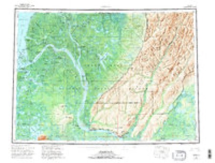
- 1952 USGS Kwiguk quadrangle1:250000, 8 printings
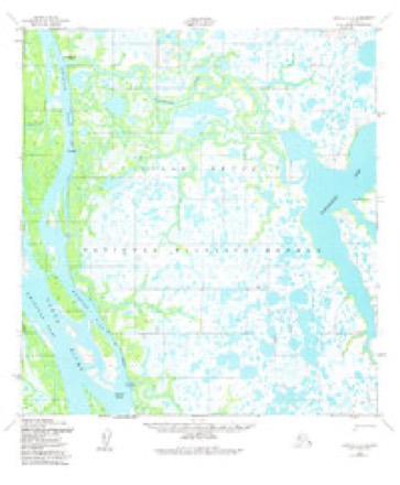
- 1952 USGS Kwiguk C-4 quadrangle1:63360, 2 printings
Nearest settlements
The eight closest, with where each one stands in the county. Distances are straight-line, computed from the Geographic Names Information System coordinates.
| Map | Place | Distance | Sheets |
|---|---|---|---|
| Arolokovik | 9.7 miles | 11 | |
| New Hamilton | 15.1 miles | 10 | |
| Alexeiev (historical) | 18.3 miles | 17 | |
| Tklik (historical) | 19.9 miles | 11 | |
| Kravaksarak | 23.7 miles | 11 | |
| Trogshak (historical) | 25.8 miles | 10 | |
| Hamilton | 26.0 miles | 9 | |
| Tukukapak | 28.1 miles | 10 |
Provenance
This settlement is recorded in the Geographic Names Information System as feature 1402136. The sheet list is computed by point-in-boundary test against the United States Geological Survey's historical topographic inventory. Both are works of the United States government and carry no copyright under 17 U.S.C. 105.