 Block
From the record
4 National Register listings published here.
Sources: the National Register database, National Park Service
29 topographic sheets and 7 fire insurance atlases across 1 place.
4 National Register listings published here.
Sources: the National Register database, National Park Service
Taken for the Office of War Information and the Farm Security Administration, who photographed the country between 1935 and 1944. Works of United States government photographers, with no known restriction on use. Each opens its catalogue record.
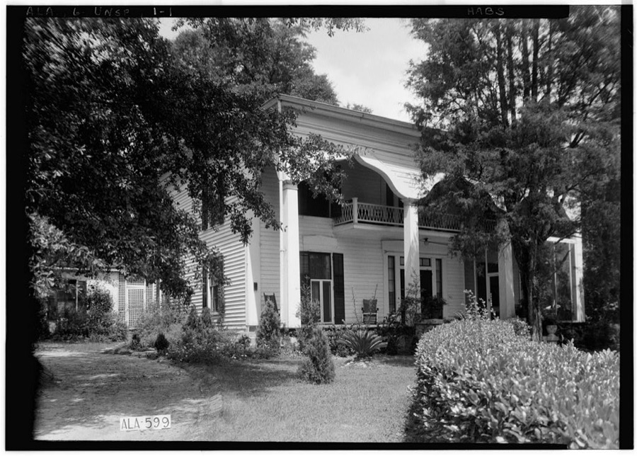
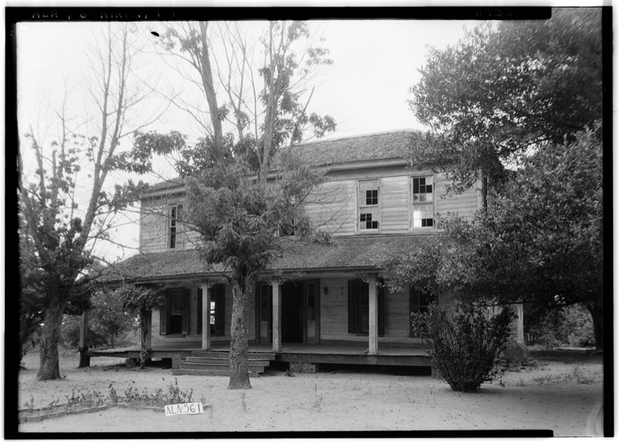
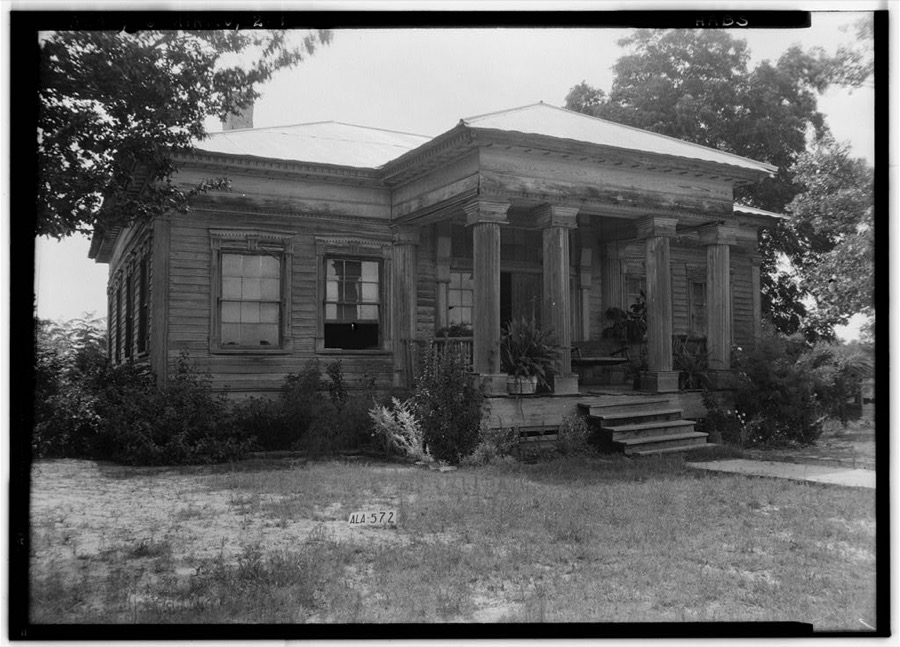
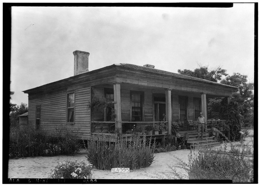
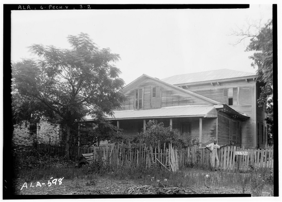
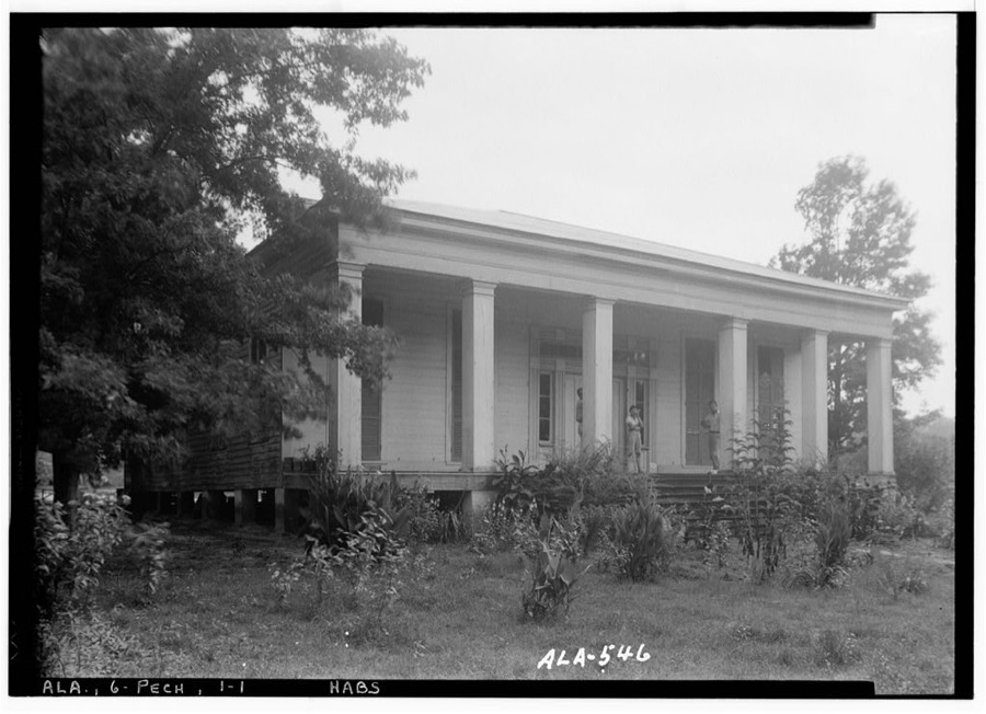
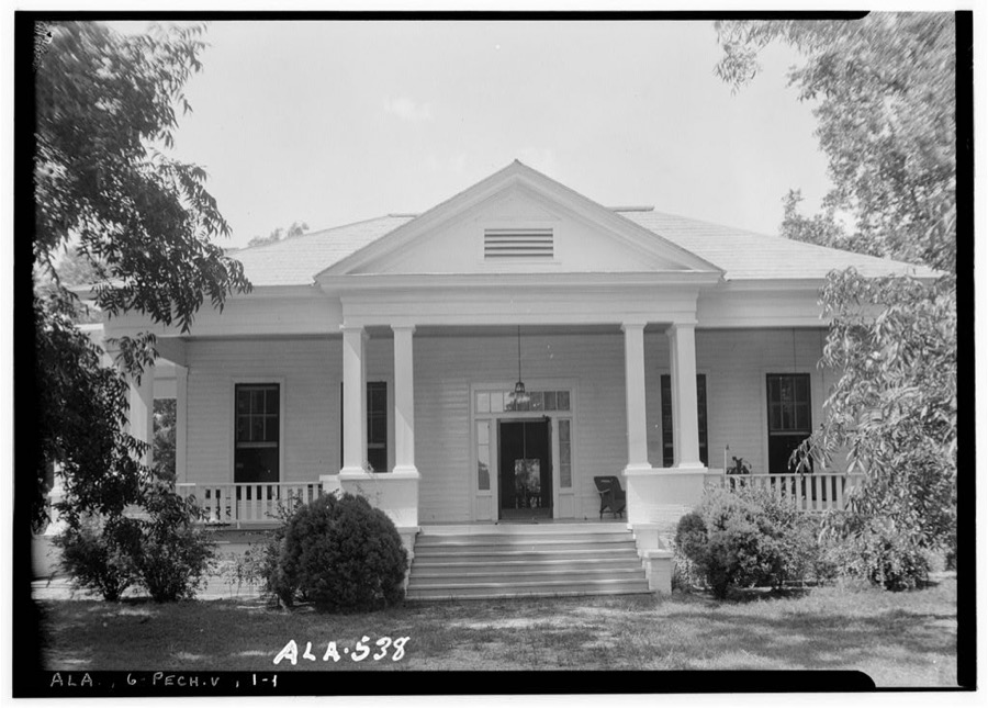
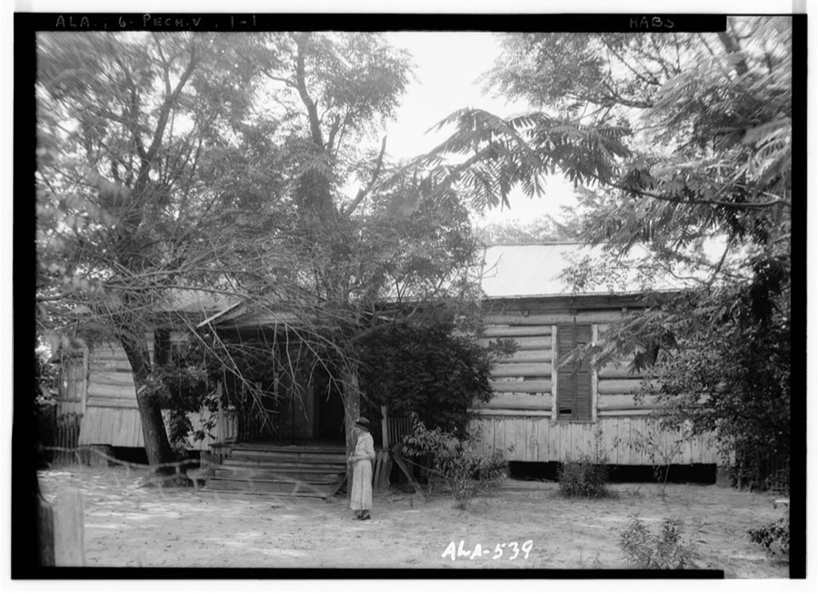
Every property in this county listed on the National Register of Historic Places, with the year it was listed and the federal nomination document.
| Photograph | Property | Type | Listed | Reference |
|---|---|---|---|---|
 | Bullock County Courthouse | building | 1976 | 76000312 |
 | Foster House | building | 1998 | 98001021 |
 | Merritt School | building | 1998 | 98000110 |
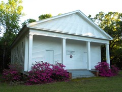 | Sardis Baptist Church | building | 2001 | 01001299 |
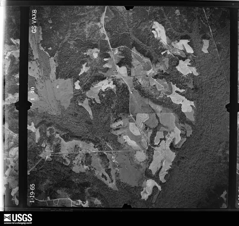
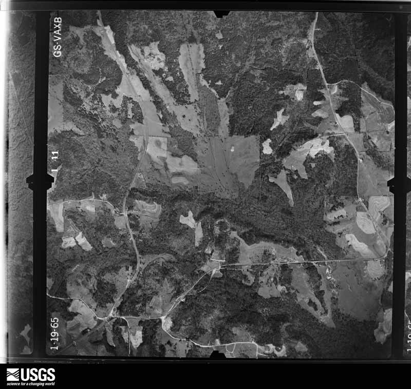
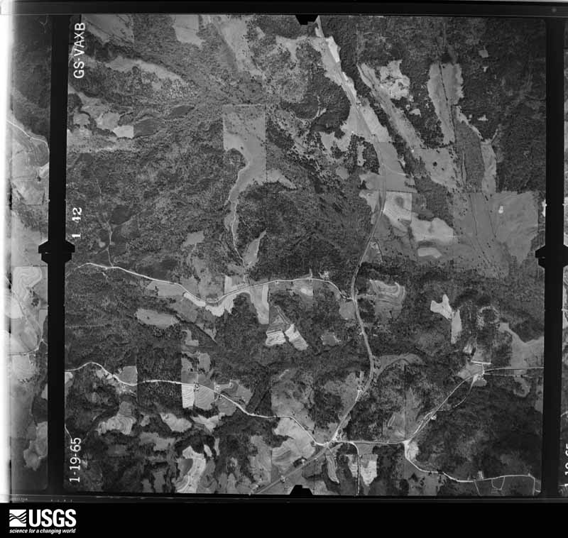
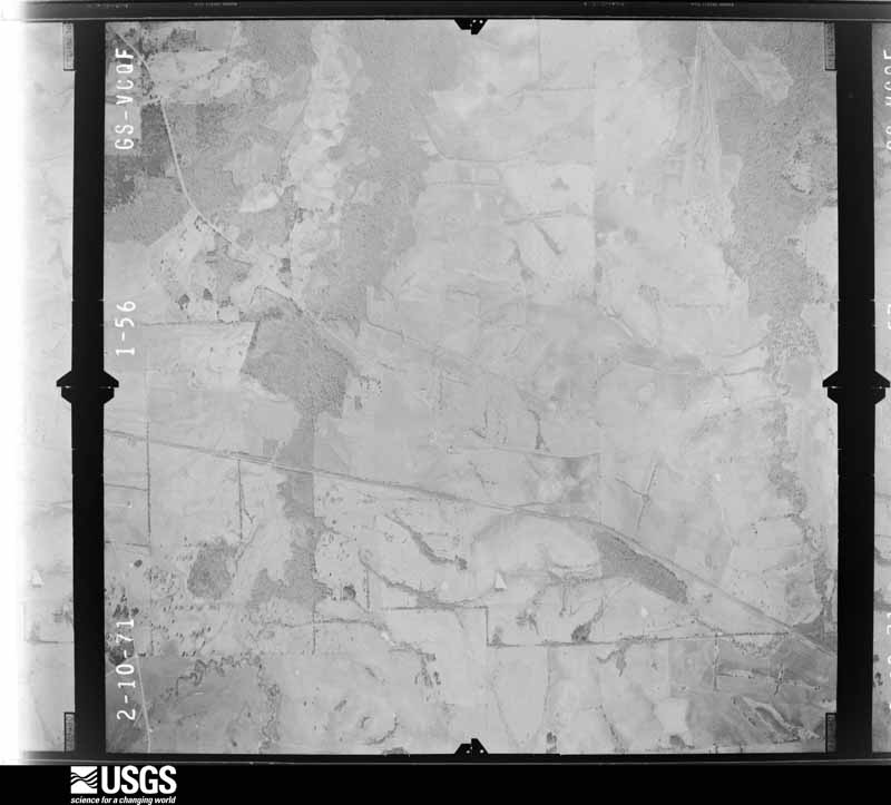
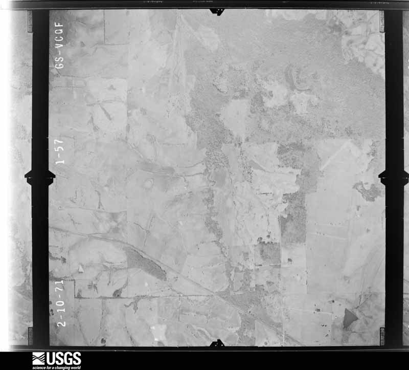
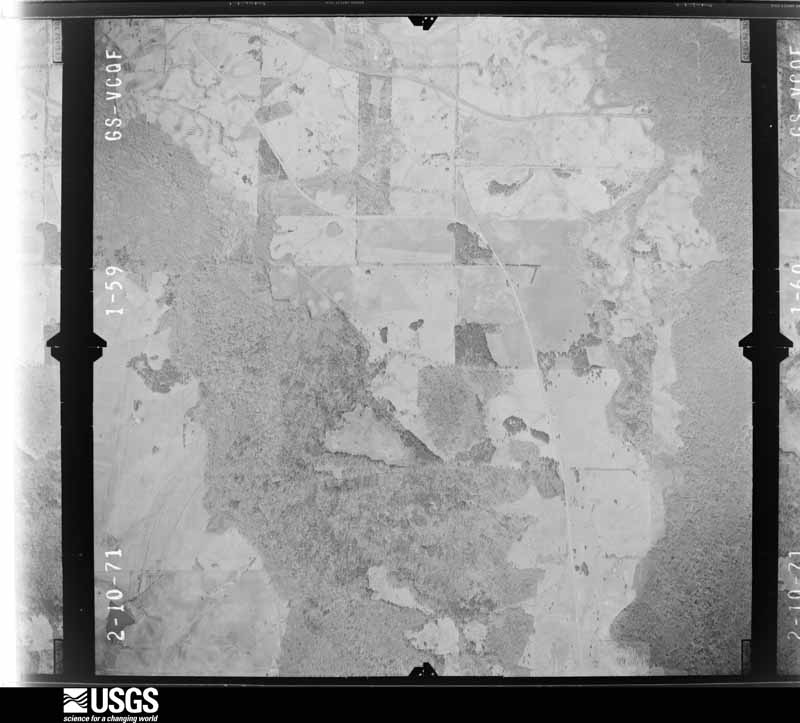
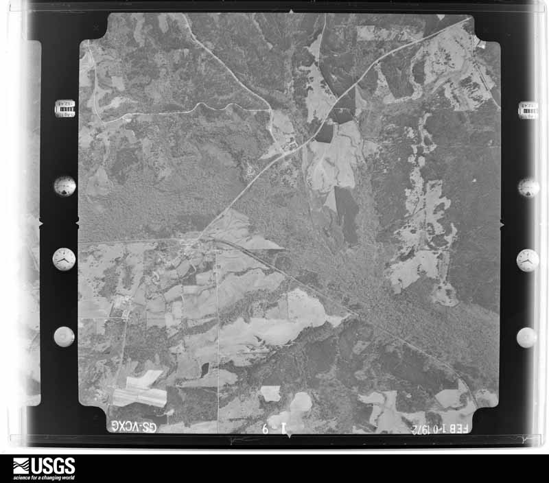
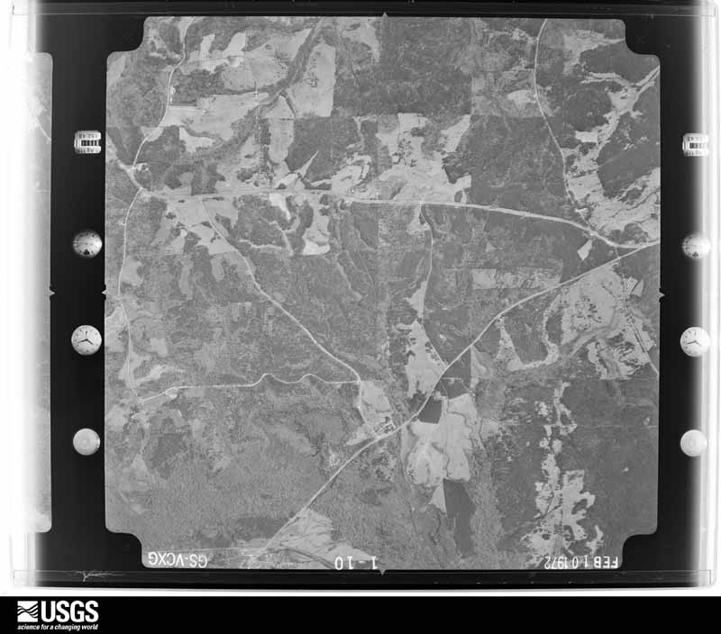
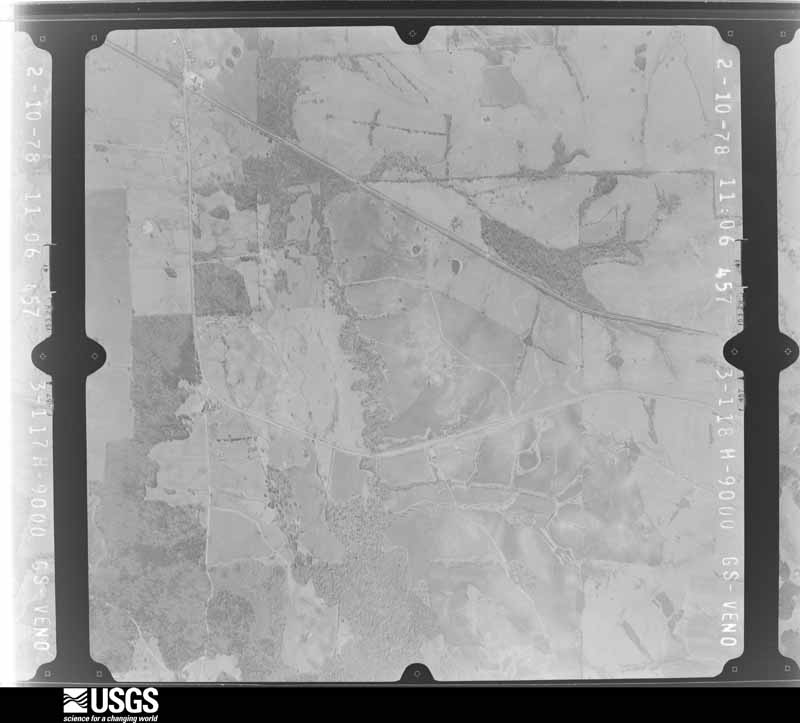
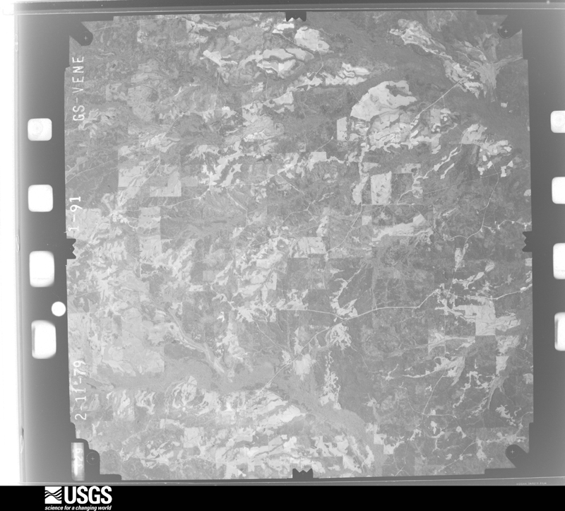
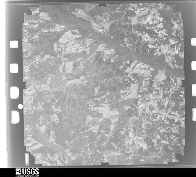
Flown by the U.S. Geological Survey between 1937 and 1989, the Aerial Photo Single Frames collection is the definitive mid-century view of the land: fields, roads and rivers as the camera saw them. The Survey holds 780 frames inside the rectangle that bounds this county; the 22 frames below were taken over the county itself, chosen across the decades of flights (at most four a year from that rectangle), so one flight cannot crowd out the rest. The full set is free to browse and download at EarthExplorer under the dataset Aerial Photo Single Frames.











The thermometers that kept this county's weather, as the federal records hold them. The extremes below are measured values from those records, not estimates.
Who lived here in 1950, one enumeration district at a time, as the Census Bureau described each district. Each row opens its official National Archives result, with Population Schedules and ED Maps available there.
Every wildfire the federal occurrence database records inside this county: 616 of them, burning about 9,448 acres. 14 started naturally and 156 were recorded as arson. Each settlement page carries the fires within five miles of it.
| Reported cause | Fires |
|---|---|
| Debris and open burning | 204 |
| Arson/incendiarism | 156 |
| Missing data/not specified/undetermined | 144 |
| Recreation and ceremony | 39 |
| Equipment and vehicle use | 28 |
| Smoking | 16 |
| Natural | 14 |
| Railroad operations and maintenance | 8 |
| Misuse of fire by a minor | 6 |
| Power generation/transmission/distribution | 1 |
The five largest, by the area the report gives. Three of them were set deliberately.
| Date | Cause | Size | Reported by | Name on the report |
|---|---|---|---|---|
| 5 April 2006 | Arson/incendiarism | 471 acres | Alabama Forestry Commission | GRIZZLE |
| 6 June 2008 | Missing data/not specified/undetermined | 320 acres | Alabama Forestry Commission | HOOK |
| 22 March 2017 | Arson/incendiarism | 227 acres | Alabama Forestry Commission | 20170322-18 |
| 8 July 2000 | Arson/incendiarism | 200 acres | Alabama Forestry Commission | not named |
| 30 March 2019 | Debris and open burning | 200 acres | Alabama Forestry Commission | 20190330-23 |
| 8 February 2012 | Missing data/not specified/undetermined | 200 acres | Alabama Forestry Commission | SER-20120208-002 |
| 13 November 2001 | Debris and open burning | 177 acres | Alabama Forestry Commission | not named |
| 21 July 2000 | Natural | 175 acres | Alabama Forestry Commission | not named |
Every settlement page carries the fires within five miles of it - see the settlement index below.
The NOAA Storm Events Database holds 149 reports for this county, causing no deaths, 3 injuries and about $1,493,000 in recorded property damage. Each settlement page carries the reports that name it.
| Kind of event | Reports |
|---|---|
| Thunderstorm Wind | 82 |
| Hail | 28 |
| Tornado | 26 |
| Flash Flood | 10 |
| Funnel Cloud | 2 |
| Heavy Rain | 1 |
The most serious of them, by death, then injury, then recorded damage. The accounts are quoted exactly as the forecast office filed them.
| When | Event | Place named | Harm | What the report says |
|---|---|---|---|---|
| April 1969 | Tornado (F4) | not stated | 3 hurt, $250,000 | no account filed |
| March 1981 | Tornado (F1) | not stated | $250,000 | no account filed |
| May 2010 | Thunderstorm Wind | Pine Grove | $200,000 | A suspected microburst destroyed 5 mobile homes, damaged 3 others, damaged 2 site built homes, destroyed 4 outbuildings, caused a tree to fall on and extensively damage a car, and destroyed 6 quail houses. The damage occurred on Antioch Church Road, about a mile west of AL-51, south of the Midway community in the southeastern portion of Bullock County. |
| July 2000 | Thunderstorm Wind | Midway | $125,000 | A microburst caused significant damage to The Triple M Quail Farm on CR 14. The wind destroyed three quail houses and damaged another. One tractor sustained damage when the roof of a building landed on it. 8500 quail were killed. The time was estimated. |
| May 2009 | Flash Flood | Mitchell | $100,000 | Flash flooding caused numerous roads to become impassable. High water was reported on several county roads, in and around the city of Union Springs. |
| September 1998 | Tornado (F0) | Union Spgs | $75,000 | A tornado moved northwest across the western part of the county from near Hall's Crossroads to north of Hook's Crossroads. A church was totally destroyed on Bullock 223 south of Hall's Crossroads, several trees were downed or uprooted, and some homes had minor damage. |
| August 2005 | Tornado (F0) | Mitchell | $70,000 | no account filed |
| March 2006 | Thunderstorm Wind | Countywide | $50,000 | The main damage was in a broad area between CR 37 and Union Springs, in a swath estimated to be more than 6 miles across at its widest point, and more than 11 miles long. The hardest hit communities included High Log and Cornerstone. Roughly 1000 trees or more were snapped off above the ground in this area, with about 100 trees uprooted. Structural damage was limited to an unsecured outbuilding that was destroyed one mile southeast of Fitzpatrick, and a tree that fell on a mobile home in Cornerstone. Additional damage occurred east of Union Springs, near the intersection of CR 40 and CR 109, as well as along SR 51 between Sehoy Lake and the Macon County line. |
| April 2005 | Tornado (F0) | Perote | $45,000 | National Weather Service meteorologists surveyed the damage along CR 14 between Blues Old Standand areas just south of Midway. It has been determined that the damage was caused by a tornado.The tornado has been rated an F0 with winds estimated around 70 miles an hour. The tornado toucheddown near Blues Old Stand around 754 AM CDT. The tornado traveled northeast for approximately 12.6miles before lifting about 2 miles south of Midway around 810 AM CDT. Numerous trees were snappedoff and uprooted along the tornado path. The crossed US 29, SR 239 and ended just before crossingSR 51. One commercial hunting lodge was damaged and one mobile home sustained roof damage. Begin: 31 59.22/85 43.16 End: 32 02.89/85 30.99 |
| September 1998 | Flash Flood | Countywide | $40,000 | no account filed |
| January 1998 | Flash Flood | Countywide | $25,000 | no account filed |
| May 1969 | Tornado (F1) | not stated | $25,000 | no account filed |
| April 2005 | Thunderstorm Wind | Perote | $20,000 | Right before the tornado touched down, a large swath of straight line wind damage occurred near theBlues Old Stand Community. One hundred or more large pine trees were snapped off 15 to 25 feet abovethe ground. The area of considerable tree damage was approximately two square miles. |
| July 2003 | Thunderstorm Wind | Union Spgs | $20,000 | no account filed |
| March 2003 | Thunderstorm Wind | Union Spgs | $18,000 | Several trees were blown down, one storage building was damaged, and part of a building roof was removed in Union Springs. |
| September 1998 | Tornado (F0) | Union Spgs | $15,000 | A tornado caused minor damage to an egg house and knocked a few trees down on CR 31 south of Union Springs. |
| February 2000 | Tornado (F0) | Mitchell | $15,000 | no account filed |
| March 2005 | Hail | Perote | $11,000 | The left moving supercell that moved through Pike, Barbour, and Russell Counties threw hail out of its core across extreme southeastern Bullock County. The hail affected the Smuteye and Pickett communities but mainly fell in rural areas. The largest hail reported was golf ball size. |
| December 2009 | Flash Flood | Midway | $10,000 | An estimated 3 to 4 inches of rain in a short time lead to flash flooding of several roads in the southeastern portion of Bullock County, some of which became impassable due to the high water. |
| April 2007 | Tornado (EF1) | Tanyard | $10,000 | The tornado touched down about one mile southwest of the intersection of US Highway 29 and CR 53, and then tracked northeast, crossing CR 53 several times. One barn was completely destroyed near the Jamback Community. Numerous trees were uprooted or snapped off along the path. Several homes sustained minor roof damage. |
| February 2000 | Tornado (F0) | Fitzpatrick | $10,000 | The third of three tornadoes produced by the same supercell thunderstorm occurred just north of Fitzpatrick. The tornado track was about 1 mile long and 50 yards wide. The tornado crossed CR 7 about 2 miles north of Fitzpatrick. Several trees were uprooted or damaged. Beginning: 32 14.698/85 53.916 Ending: 32 15.155/85 52.937 |
| April 1999 | Thunderstorm Wind | Countywide | $10,000 | Trees were knocked down over a widespread area in southern Bullock County. Most of the damage occurred south of a line from Halls Crossroads to Smuteye. |
| April 2005 | Thunderstorm Wind | Countywide | $8,000 | Several trees were blown down across Bullock County outside of the concentrated damage areas mentioned. |
| July 2003 | Flash Flood | Union Spgs | $8,000 | A few roads were flooded and temporarily impassable in Union Springs. |
| January 2002 | Thunderstorm Wind | Midway | $6,000 | Trees were blown down and blocking roadways near Midway. One mobile home suffered roof damage. |
| July 2011 | Thunderstorm Wind | Midway | $5,000 | Several trees and powerlines were reported down along Hwy 82, southeast of Midway. |
| April 2009 | Tornado (EF0) | Hector | $5,000 | The tornado touched down briefly about two miles north of the Shopton community. Several trees were snapped or uprooted. |
| June 2008 | Thunderstorm Wind | Bughall | $5,000 | Several trees were blown down in and around Union Springs. |
| February 2008 | Thunderstorm Wind | Bruceville | $5,000 | Several trees were uprooted and snapped, with one of them falling across US-82 and onto a barbed wire fence. |
| March 2007 | Thunderstorm Wind | Perote | $5,000 | A few trees were blown down near the Blues Old Stand Community. |
| August 2002 | Thunderstorm Wind | Union Spgs | $5,000 | Several trees were blown down across the southeast part of Bullock County. |
| May 1999 | Hail | Union Spgs | $5,000 | Pea to golfball size hail was reported in and around Union Springs. A few automobiles had their windshields broken. |
| May 2001 | Thunderstorm Wind | Union Spgs | $4,000 | Several trees were blown down in a short path just south of Union Springs on US 29. |
| April 2009 | Tornado (EF0) | Mitchell | $3,000 | The long tracked Montgomery-Cecil tornado moved out of Macon County, and cut across the far northwestern tip of Bullock County. The track was through a rural part of the county, and damage was light. |
| February 2008 | Thunderstorm Wind | Bughall | $3,000 | Several trees were blown down on CR-23, northwest of Union Springs. |
| April 2003 | Thunderstorm Wind | Mitchell | $3,000 | Several trees were blown down along SR 110 near mile marker 17. |
| August 2002 | Thunderstorm Wind | Union Spgs | $3,000 | Several trees were blown down across the southeastern part of Bullock County. |
| August 1999 | Thunderstorm Wind | Perote | $3,000 | A farmer in the Corinth Community reported that trees were blown down onto power lines. |
| August 1995 | Thunderstorm Wind | Union | $3,000 | Trees and power lines were reported down in the area south of Union Springs on Alabama 223 and 239. Reported relayed through State Troopers and time estimated. |
| March 1997 | Hail | Union Spgs | $3,000 | no account filed |
| July 2007 | Thunderstorm Wind | Union Spgs Arpt | $2,000 | Several trees were blown down in the Cornerstone Community. |
| June 2004 | Thunderstorm Wind | Inverness | $2,000 | Several small trees were knocked down between Halls Crossroads and Inverness. |
| March 2002 | Thunderstorm Wind | Midway | $2,000 | A few trees were blown down on CR 47 near Midway. |
| April 2002 | Hail | Perote | $2,000 | Quarter size hail was reported near the Jamback community, southeast of Perote. Additional hail reports were received from the Perote area. |
| August 1995 | Thunderstorm Wind | Union Springs | $2,000 | Two trees were reported blown down in the Union Springs area. |
| September 2004 | Flash Flood | Countywide | $2,000 | no account filed |
| January 2009 | Thunderstorm Wind | Perote | $1,000 | Several trees were blown down near the Perote Community. |
| June 2008 | Thunderstorm Wind | Smut Eye | $1,000 | Several trees were blown down on CR-17, near the Smuteye Community. |
| April 2005 | Hail | Fitzpatrick | $1,000 | Large hail reported in the county. |
| August 2005 | Tornado (F0) | Union Spgs | $1,000 | Local law enforcement witnessed a brief tornado touchdown west of Union Springs. The brief tornado touched down at approximately 3:30 PM CDT just northwest of the intersection of State Highway 110 and US Highway 82. The tornado dipped down in a rural area and little or no damage was observed. The tornado path was 0.2 miles long and 25 yards wide at its widest point.Begin/End: 32 09.01/85 46.30 |
| April 1999 | Thunderstorm Wind | Perote | $1,000 | Trees were blown down near Perote and one out-building was damaged. |
| March 2025 | Tornado (EF1) | Boswell | - | A tornado continued into Bullock County from Pike County. As the tornado crossed into southern Bullock County, it continued to narrow and weaken until ending at|Bullock County Road 8 west of Perote. The total path length of the tornado was 21.31 miles. |
| May 2025 | Tornado (EF0) | Mitchell | - | A brief tornado touched down in an open pasture east of County|Road 37, where a few large branches were snapped along a tree line|and one tree was uprooted in the field. The tornado tracked to|the east where it crossed through a small hunting club and|uprooted more trees. Most of this area was inaccessible due to|trees across the roadway, but no structural damage was noted. The|tornado then intensified as it crossed County Road 185, where|there was about a 800 to 900 yard wide zone of snapped and|uprooted hardwoods and softwoods. The tornado continued to track|east through various inaccessible pastures and wooded areas|before dissipating near County Road 7 to the south of Fitzpatrick,|where a couple branches were snapped. |
| August 2024 | Thunderstorm Wind | Guerryton | - | Several trees were downed in northeastern Bullock County. |
| June 2023 | Thunderstorm Wind | Midway | - | Multiple trees uprooted in Midway. |
| June 2023 | Thunderstorm Wind | Bughall | - | Numerous trees uprooted along Highway 82 west of Union Springs. |
| August 2023 | Thunderstorm Wind | Inverness | - | Multiple trees uprooted between County Road 223 and Highway 29. |
| August 2023 | Thunderstorm Wind | Mitchell | - | Trees uprooted along County Road 7. |
| August 2023 | Thunderstorm Wind | Perote | - | Several trees uprooted along County Road 8. |
| October 2022 | Thunderstorm Wind | Union Spgs Arpt | - | Several trees uprooted along Highway 110 west of Union Springs. |
The Survey's mineral resources record lists 2 workings inside this county. None of them still produces: all are closed or unrecorded. Each settlement page carries the workings within five miles of it.
| Commodity | Workings |
|---|---|
| Clay | 2 |
The least common of them first, because a county's hundredth gravel pit says nothing its first ten did not.
| Where | Site | Commodity | Status | Recorded |
|---|---|---|---|---|
| Bul 1 Clay Prospect | Clay | Prospect | ||
| Bul 2 Clay Prospect | Clay | Prospect |
Named settlements recorded in the Geographic Names Information System, each with the topographic sheets covering it. Villages, hamlets and abandoned places alike. Each is shown with the nearest named watercourse or landform and the survey quadrangle it falls on. The 1 place that was also surveyed for fire insurance comes first, with the number of atlases and photographs held for them.
Union Springs census division · 36089 · Union Springs quadrangle
8 sheets, 1955 to 1981
Fire insurance: 7 atlases
Inverness census division · 36081 · On Mill Creek · Saco quadrangle
8 sheets, 1953 to 1981
Inverness census division · 36089 · On Little Conecuh River · Almeria quadrangle
8 sheets, 1955 to 1981
Union Springs census division · 36089 · Union Springs quadrangle
8 sheets, 1955 to 1981
Fitzpatrick census division · 36089 · On Leatherbreeches Creek · Thompson quadrangle
9 sheets, 1955 to 1981
Inverness census division · 36005 · On Perote Creek · Perote quadrangle
7 sheets, 1953 to 1981
Midway census division · 36053 · On Caney Branch · Midway quadrangle
8 sheets, 1955 to 1981
Inverness census division · 36089 · On Beaverdam Creek · Almeria quadrangle
8 sheets, 1955 to 1981
Fitzpatrick census division · 36029 · On Colman Creek · China Grove quadrangle
9 sheets, 1955 to 1981
Inverness census division · 36005 · On Little Sandy Creek · Perote quadrangle
7 sheets, 1953 to 1981
Inverness census division · 36005 · On Perote Creek · Perote quadrangle
7 sheets, 1953 to 1981
Union Springs census division · 36089 · On Little Conecuh River · Aberfoil quadrangle
8 sheets, 1955 to 1981
8 topographic sheets and 7 fire insurance atlases, 1885 to 1948
The complete index, with nothing left out. Each of these is a separate record with its own page: a federal survey report, or the case file that argued a property on to the National Register. Both are public domain and reproduced word for word.