 Block
From the record
10 National Register listings published here.
Sources: the National Register database, National Park Service
60 topographic sheets and 7 fire insurance atlases across 1 place.
10 National Register listings published here.
Sources: the National Register database, National Park Service
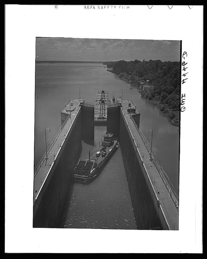
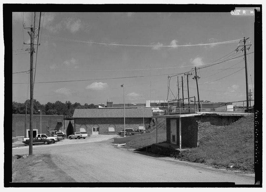
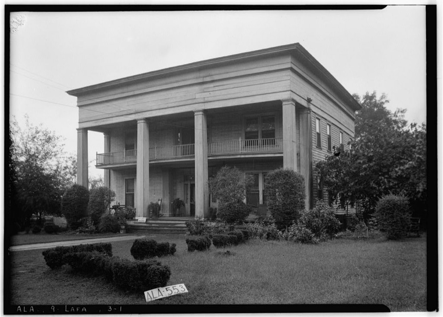
Taken for the Office of War Information and the Farm Security Administration, who photographed the country between 1935 and 1944. Works of United States government photographers, with no known restriction on use. Each opens its catalogue record.




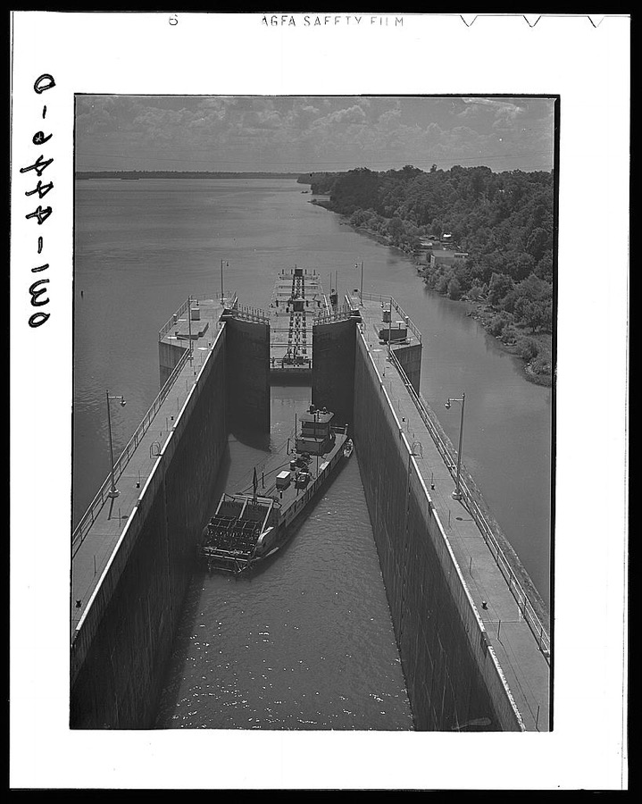

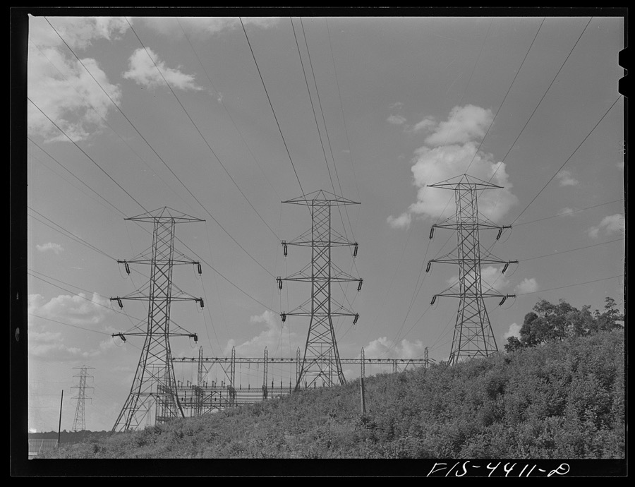

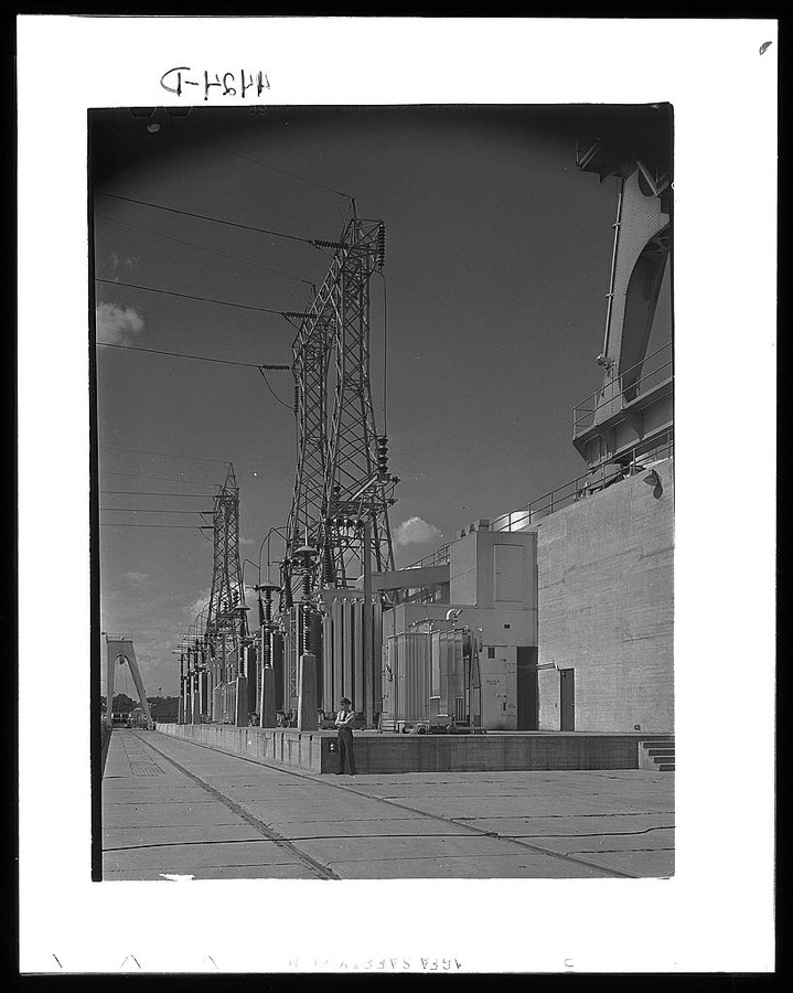







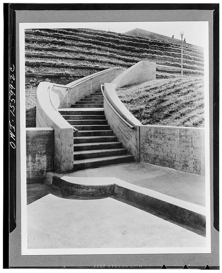
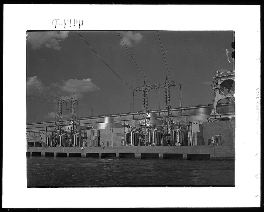

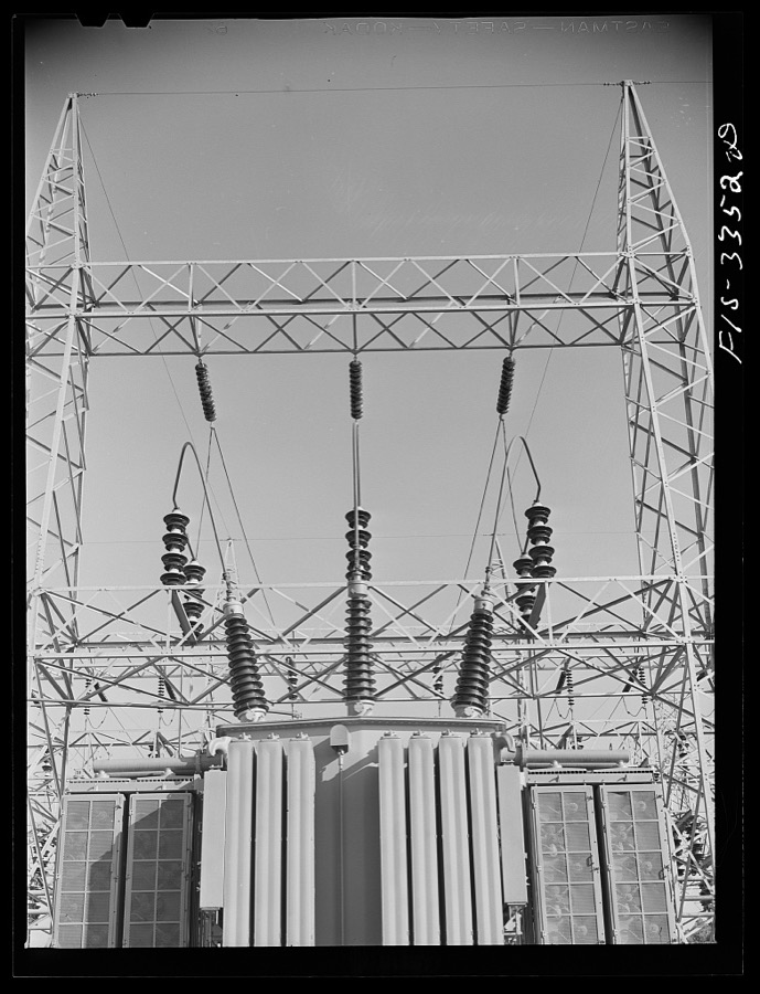
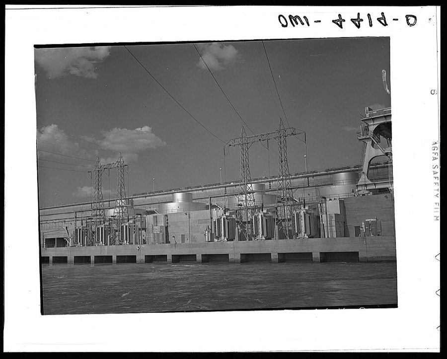

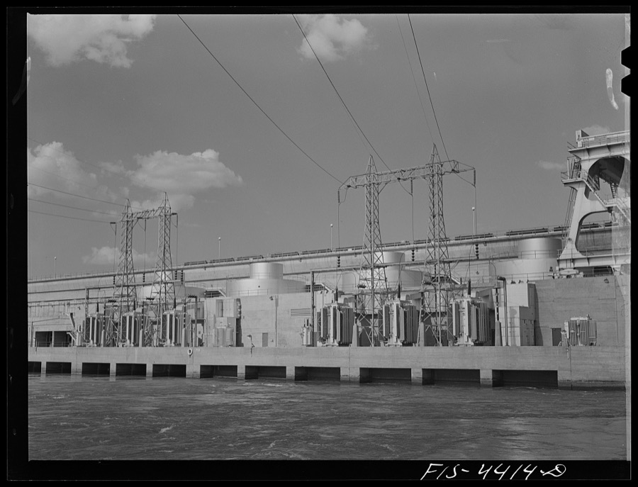
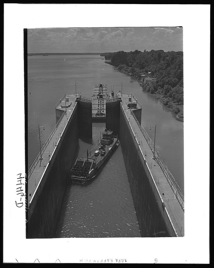

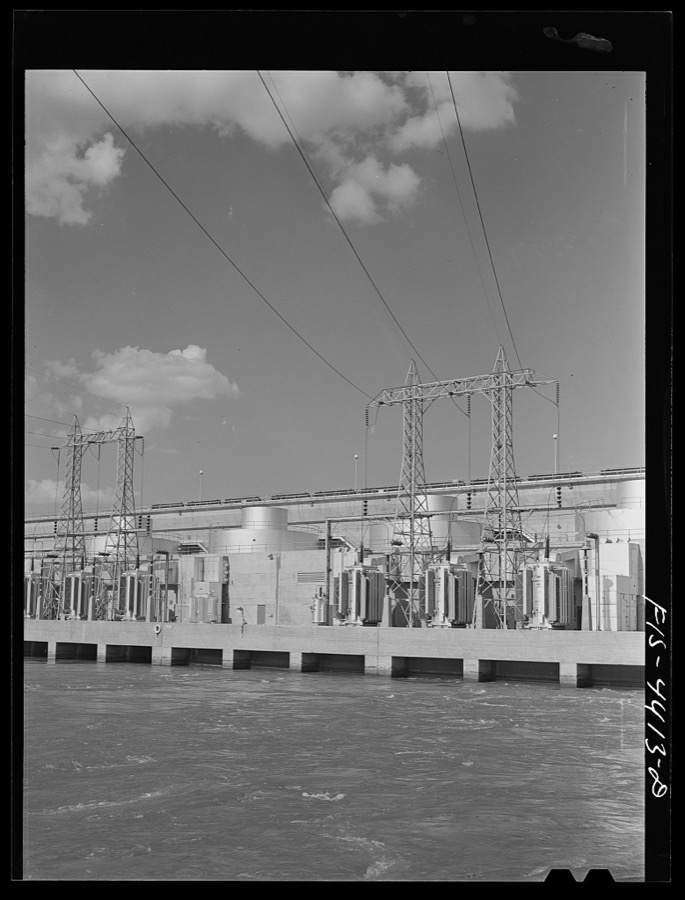




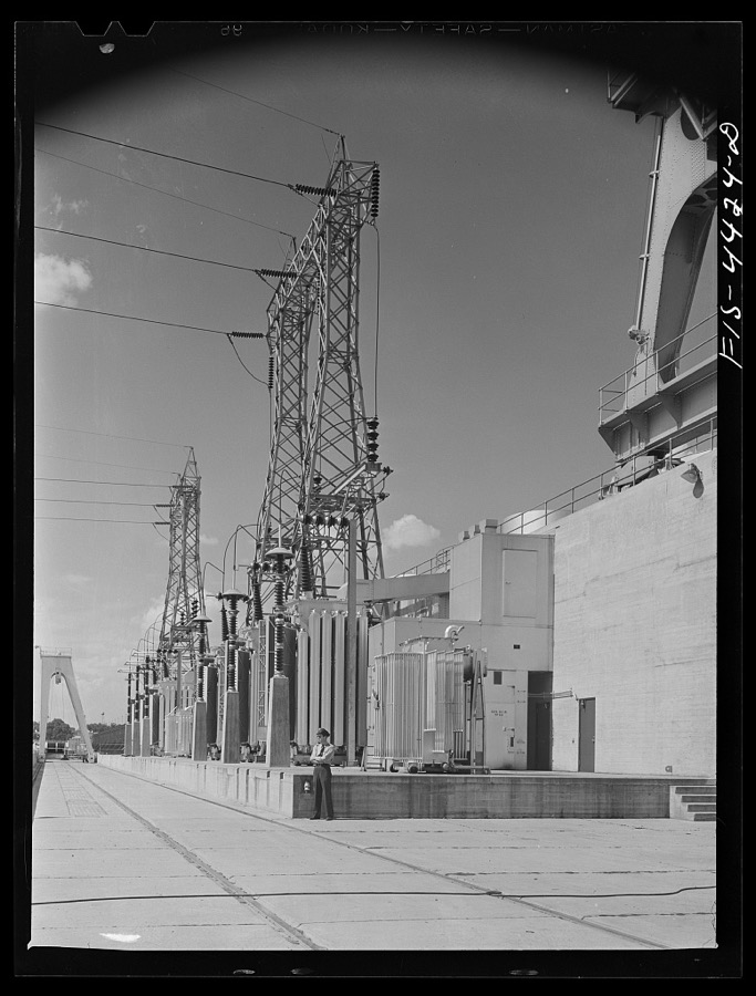
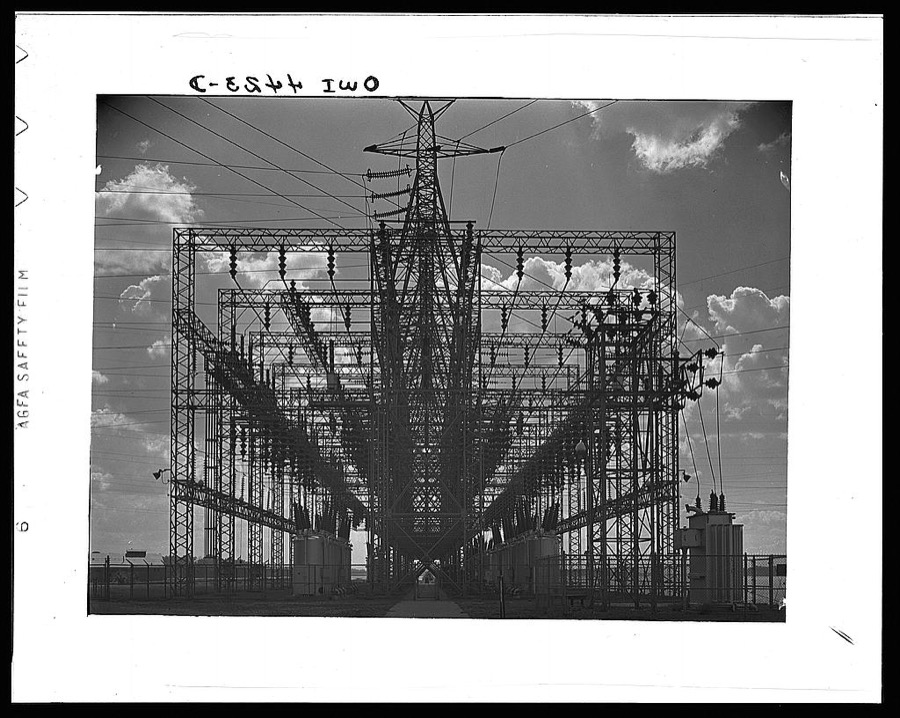





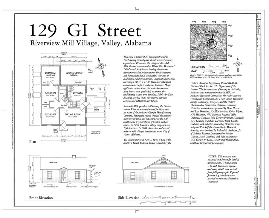
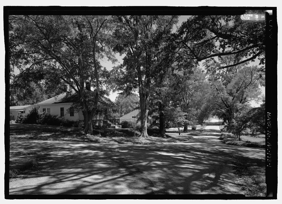
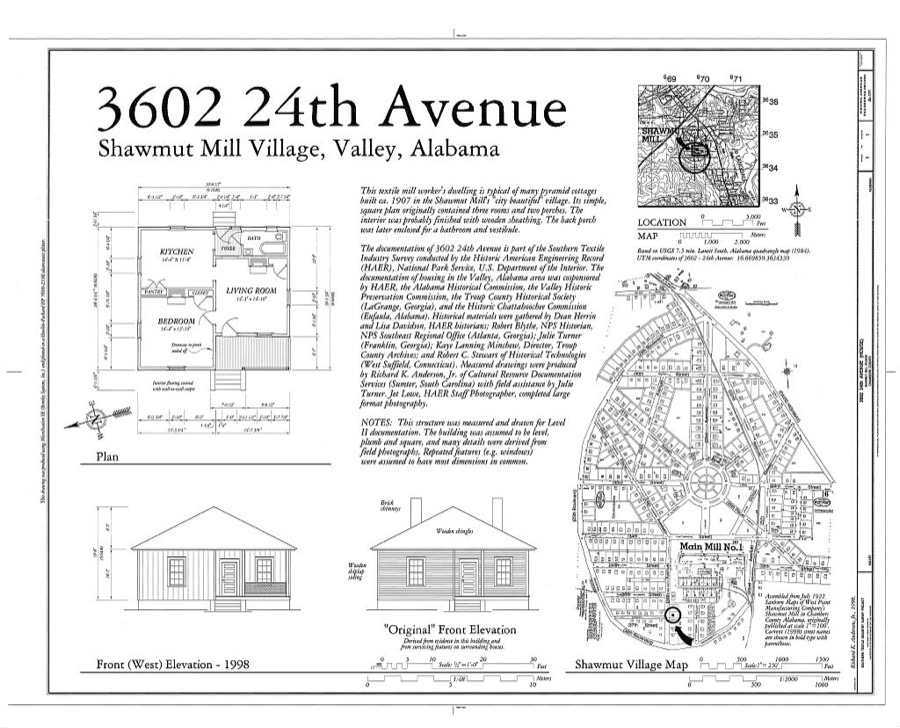
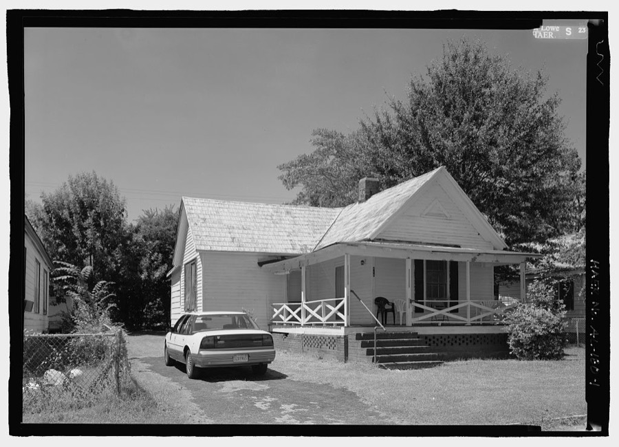
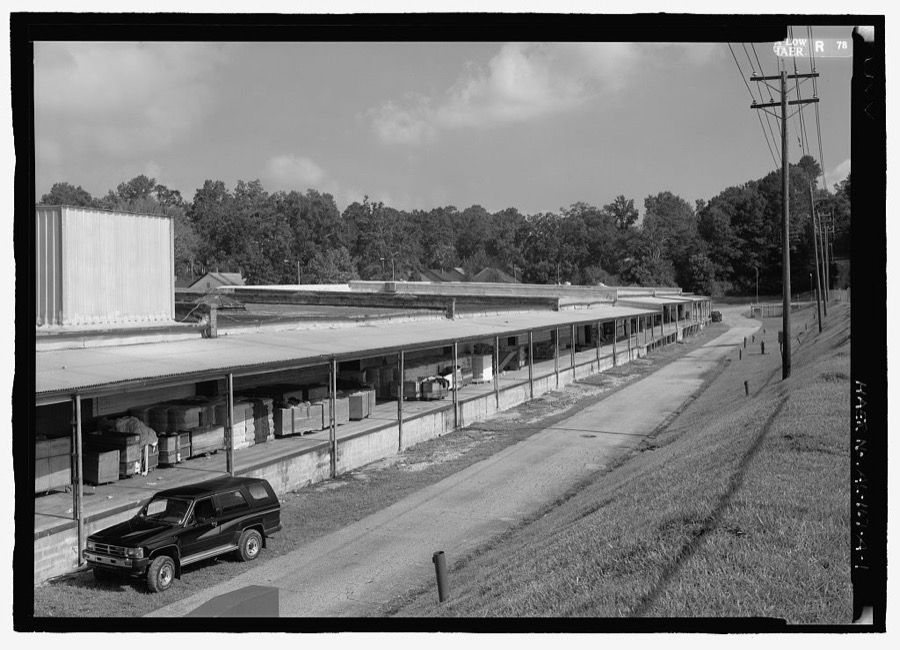
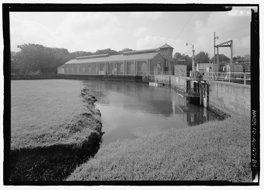
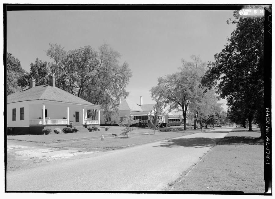
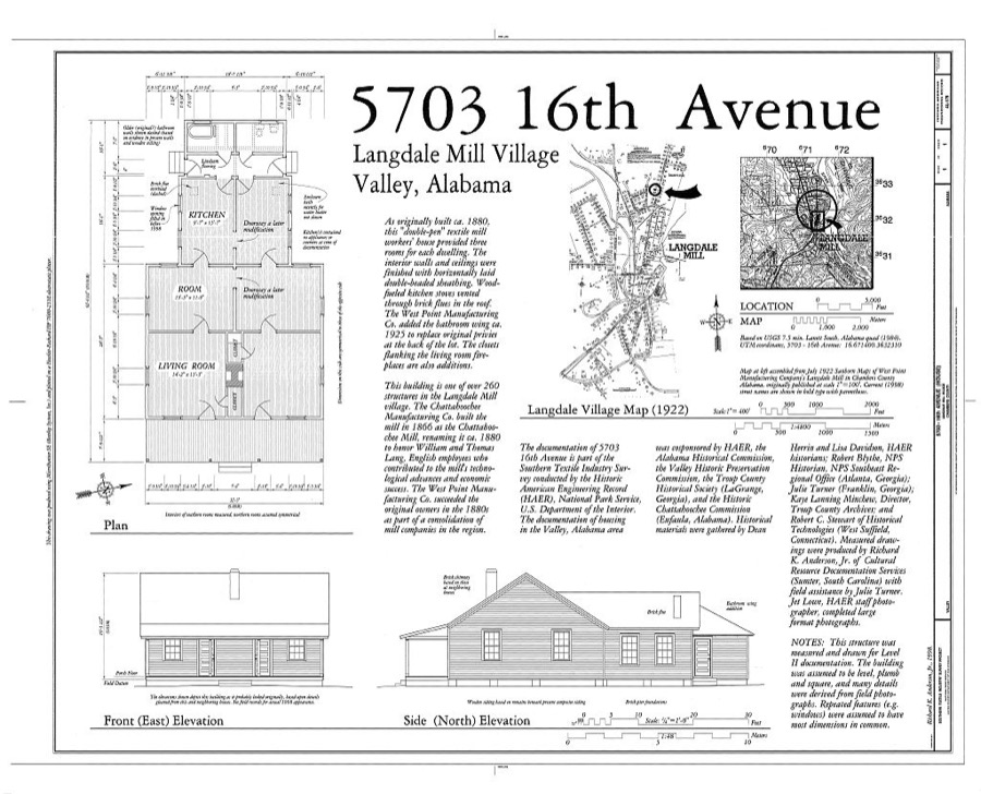
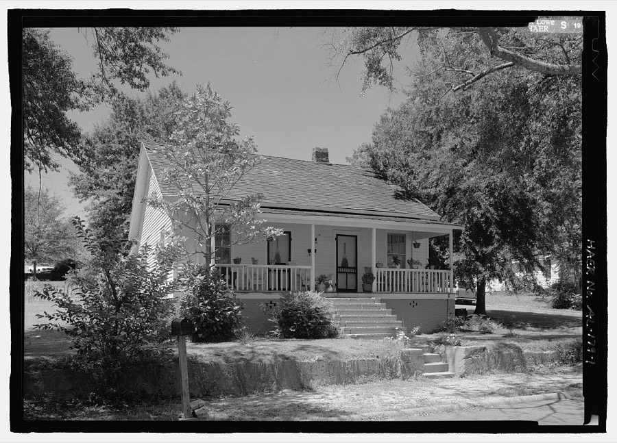
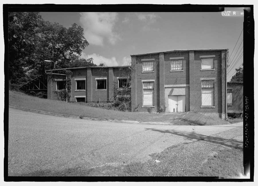
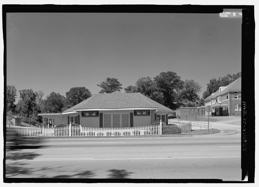
Every property in this county listed on the National Register of Historic Places, with the year it was listed and the federal nomination document.
| Photograph | Property | Type | Listed | Reference |
|---|---|---|---|---|
| Bethlehem Baptist Church | building | 2017 | 100001875 | |
 | Chambers County Courthouse Square Historic District | district | 1980 | 80000682 |
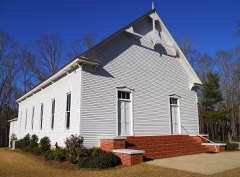 | County Line Baptist Church | building | 1982 | 82002001 |
 | Fairfax Historic District | district | 1999 | 99001177 |
 | Langdale Historic District | district | 1999 | 99001299 |
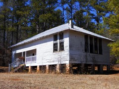 | New Hope Rosenwald School | building | 2001 | 01001297 |
 | Ernest McCarty Oliver House | building | 1974 | 74000402 |
 | Riverview Historic District | district | 1999 | 99001300 |
 | Shawmut Historic District | district | 1999 | 99001176 |
| Vines Funeral Home and Ambulance Service | building | 2008 | 08000434 |
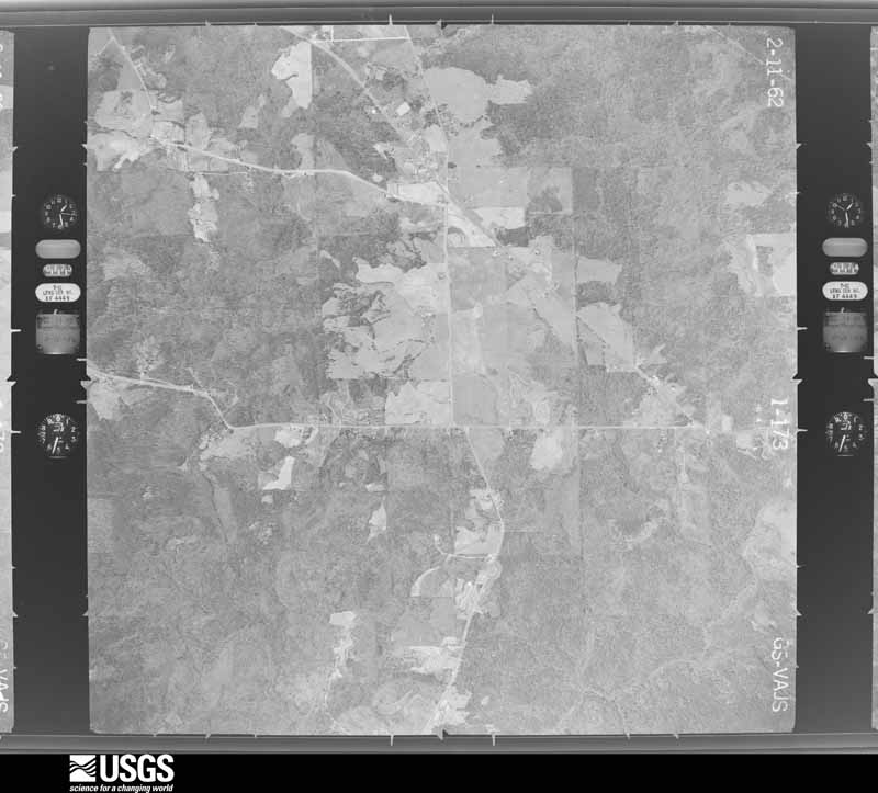
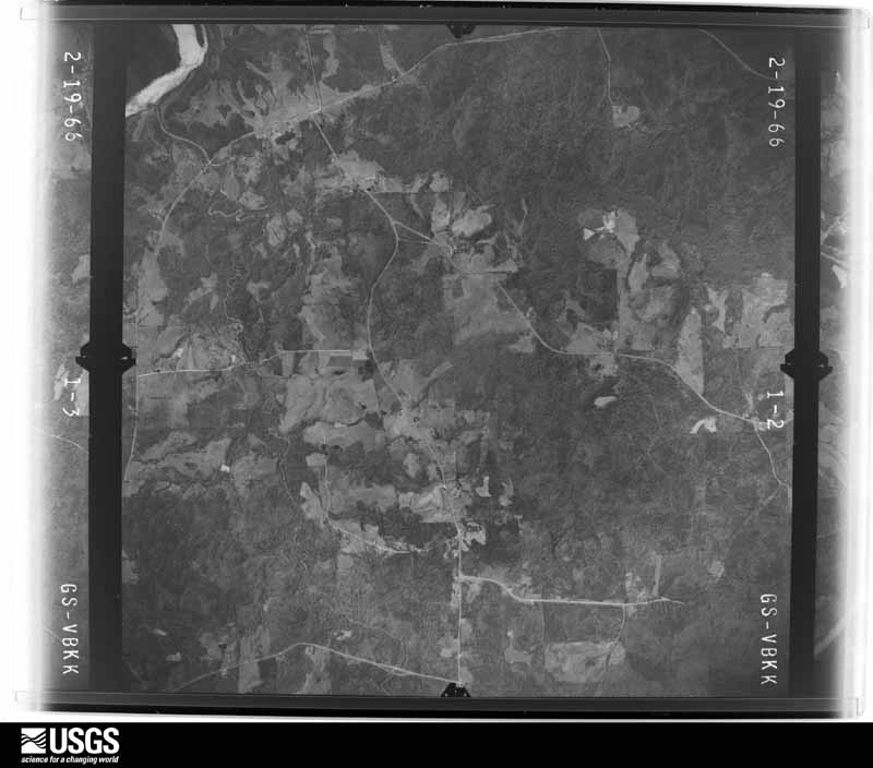
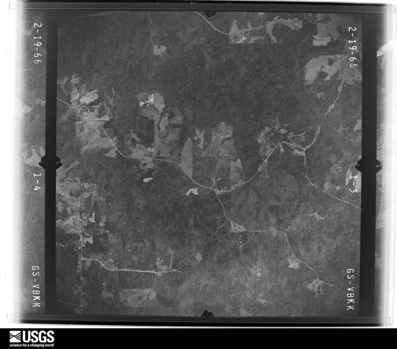
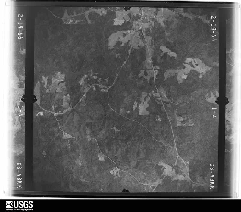
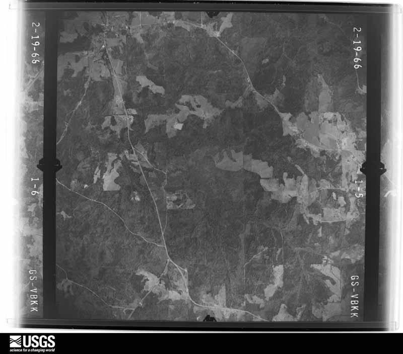
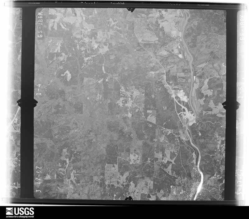
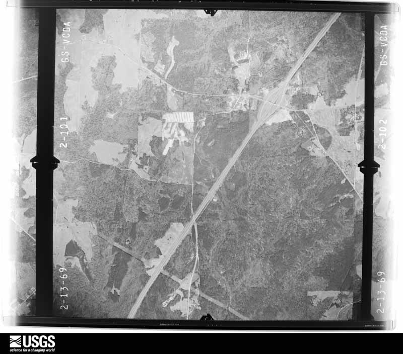
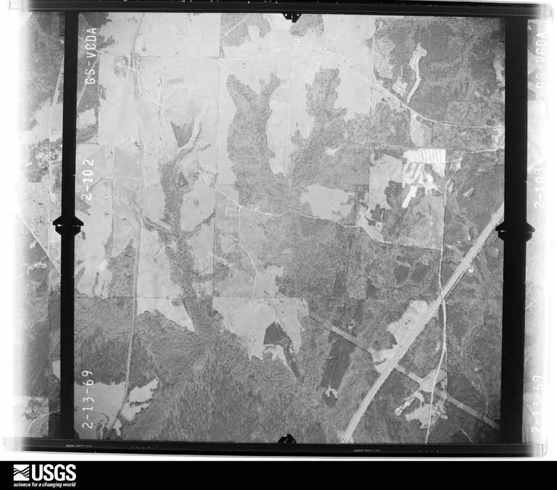
Flown by the U.S. Geological Survey between 1937 and 1989, the Aerial Photo Single Frames collection is the definitive mid-century view of the land: fields, roads and rivers as the camera saw them. The Survey holds 779 frames inside the rectangle that bounds this county; the 32 frames below were taken over the county itself, chosen across the decades of flights (at most four a year from that rectangle), so one flight cannot crowd out the rest. The full set is free to browse and download at EarthExplorer under the dataset Aerial Photo Single Frames.


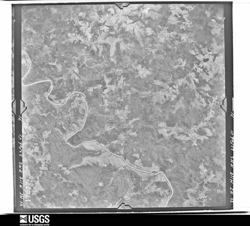
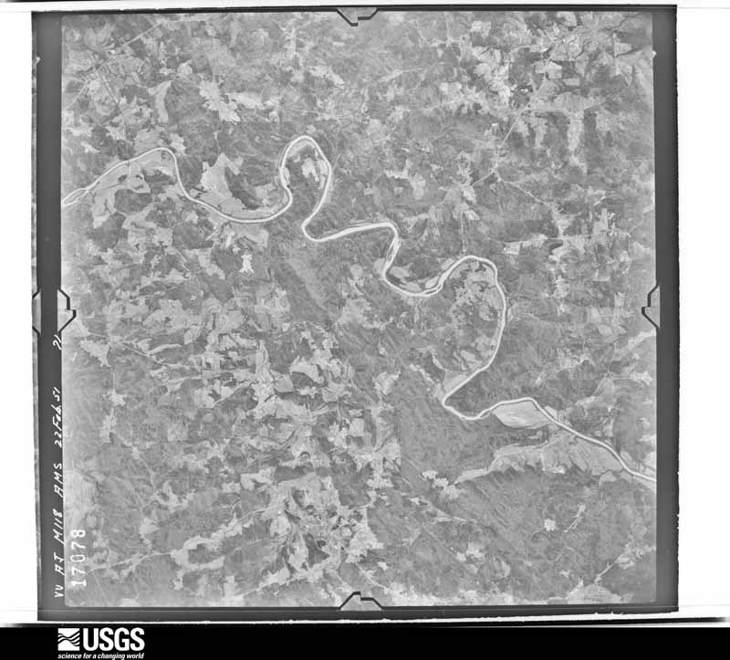
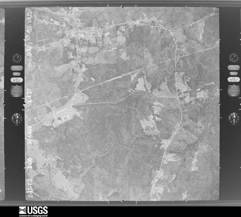
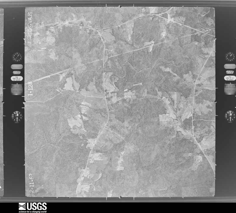


















The thermometers that kept this county's weather, and the gages that measured the flow of its streams, as the federal records hold them. The extremes below are measured values from those records, not estimates.
Who lived here in 1950, one enumeration district at a time, as the Census Bureau described each district. Each row opens its official National Archives result, with Population Schedules and ED Maps available there.
Every wildfire the federal occurrence database records inside this county: 832 of them, burning about 6,700 acres. 11 started naturally and 176 were recorded as arson. Each settlement page carries the fires within five miles of it.
| Reported cause | Fires |
|---|---|
| Debris and open burning | 330 |
| Arson/incendiarism | 176 |
| Missing data/not specified/undetermined | 143 |
| Recreation and ceremony | 53 |
| Equipment and vehicle use | 50 |
| Misuse of fire by a minor | 22 |
| Smoking | 21 |
| Railroad operations and maintenance | 19 |
| Natural | 11 |
| Power generation/transmission/distribution | 4 |
| Other causes | 3 |
The five largest, by the area the report gives. Two of them were set deliberately.
| Date | Cause | Size | Reported by | Name on the report |
|---|---|---|---|---|
| 16 March 2013 | Missing data/not specified/undetermined | 189 acres | Alabama Forestry Commission | ECR-20130316-015 |
| 14 March 2020 | Missing data/not specified/undetermined | 160 acres | Alabama Forestry Commission | 20200314-8 |
| 24 March 2008 | Missing data/not specified/undetermined | 157 acres | Alabama Forestry Commission | HAPPYLAND FIRE |
| 28 June 2000 | Natural | 130 acres | Alabama Forestry Commission | not named |
| 3 May 2000 | Missing data/not specified/undetermined | 84 acres | Alabama Forestry Commission | not named |
| 26 September 2012 | Missing data/not specified/undetermined | 80 acres | Alabama Forestry Commission | ECR-20120926-003 |
| 8 February 2001 | Arson/incendiarism | 75 acres | Alabama Forestry Commission | not named |
| 5 March 2004 | Arson/incendiarism | 75 acres | Alabama Forestry Commission | not named |
Every settlement page carries the fires within five miles of it - see the settlement index below.
The NOAA Storm Events Database holds 261 reports for this county, causing 2 deaths, 16 injuries and about $6,805,000 in recorded property damage. Each settlement page carries the reports that name it.
| Kind of event | Reports |
|---|---|
| Thunderstorm Wind | 127 |
| Hail | 86 |
| Tornado | 27 |
| Flash Flood | 20 |
| Lightning | 1 |
The most serious of them, by death, then injury, then recorded damage. The accounts are quoted exactly as the forecast office filed them.
| When | Event | Place named | Harm | What the report says |
|---|---|---|---|---|
| March 1970 | Tornado (F3) | not stated | 2 killed, 14 hurt, $250,000 | no account filed |
| March 2012 | Tornado (EF2) | Fordyce | 2 hurt | A tornado initially touched down west of Highway 62 in western Tallapoosa County. The tornado moved along a northeastern path in eastern Tallapoosa County and then moved into Chambers County. It maintained a half mile wide path as it crossed County 55 near Sandy Creek, with winds as strong as 120 mph. Thousands of hardwood and softwood trees were snapped across this path. It continued to the northeast, crossing Chattahospee Creek, and then passing just north of Trammel Crossroads, where a single-wide manufactured home was destroyed. The tornado began to weaken and narrow as it continued into central Chambers County, before it lifted along County Road 160, about 2 miles northwest of Highway 431. |
| March 1989 | Tornado (F2) | not stated | $2,500,000 | no account filed |
| April 2011 | Tornado (EF3) | Judson | $2,000,000 | A tornado touched down in central Elmore County, north of Wetumpka, and moved northeast through central Tallapoosa County and crossed into western Chambers County, west of Sikes, south of CR 48. The tornado tracked northeastward with winds of 150 mph, an EF3. One home was destroyed along CR 54. It gradually weakened and lifted northeast of the intersection of CR 51 and CR 66, 7 miles west northwest of Lafayette. |
| March 1994 | Tornado (F1) | Lafayette | $500,000 | A barn was demolished, a roof blown off a porch, damage to two houses, and numerous trees blown down in Chambers County. The damage occurred in an area running west to east south of Highway 50 from about three miles east of the Highway 50/county line to the Chambers County Public Lake. |
| September 1994 | Thunderstorm Wind | Lafayette | $500,000 | Thunderstorm wind was believed to be responsible for damage to four houses just off U.S. Highway 431 about three miles north of Lafayette in the Buffalo community. People reported a sound like a freight train when the damage occurred. |
| June 2023 | Lightning | Tuckersburg | $100,000 | Lightning caused a house fire on County Road 79. The home was a total loss. |
| August 2002 | Thunderstorm Wind | Fredonia | $75,000 | Numerous trees were knocked down in and around Fredonia. Several lake front homes at Southern Harbor sustained varying damage from the wind and falling trees. Dock A was totally destroyed and 20 boats were damaged. |
| November 2004 | Thunderstorm Wind | Stroud | $65,000 | Several trees were blown down or snapped off near the intersection of CR 236 and CR 237. One roof was peeled off a building. Several other homes suffered minor damage. |
| March 1999 | Thunderstorm Wind | Countywide | $65,000 | Numerous trees and power lines were knocked down sporadically in locations across the entire county. Trees were reported down on US 431, SR 77, and CR 147. One mobile home was overturned in Lanett. In Huguley, a few homes and storage buildings were damaged by falling trees and one mobile home was overturned. |
| November 2006 | Tornado (F0) | Lafayette | $50,000 | The tornado briefly touched down about three-quarters of a mile north of Lafayette. Numerous large trees were knocked onto a home at the intersection of US 431 and State Highway 77. Several sheds were destroyed and a large trailer was blown over. |
| February 2011 | Tornado (EF0) | White Plains | $45,000 | A tornado touched down just west of the intersection of County Road 160 and County Road 162, near Five Points and moved east along County Road 160 for 1.9 miles before lifting near Highway 431. A dozen trees were blown down along the path, causing damage to a few vehicles. At least six homes sustained minor roof, shingle or skirting damage. One barn was destroyed. |
| April 1995 | Tornado (F0) | not stated | $42,000 | A weak tornado downed numerous trees and damaged four houses in the Lakeview area near Lanett in Chambers County. An eyewitness reported seeing a funnel cloud bobbing up and down from the sky producing an intermittent track of damage. Damage was reported to be minor to the four houses. |
| May 2003 | Thunderstorm Wind | Five Pts | $40,000 | Numerous trees and power lines were blown down across the northern quarter of the county. |
| April 2003 | Flash Flood | Countywide | $25,000 | Flooding was reported on roadways across the entire county. |
| July 2000 | Thunderstorm Wind | Countywide | $25,000 | Numerous trees and power lines were blown down throughout Chambers County. Many of the trees fell onto homes and automobiles. |
| January 1998 | Flash Flood | Countywide | $25,000 | no account filed |
| April 1984 | Tornado (F1) | not stated | $25,000 | no account filed |
| April 1974 | Tornado (F2) | not stated | $25,000 | no account filed |
| November 1973 | Tornado (F1) | not stated | $25,000 | no account filed |
| January 1972 | Tornado (F2) | not stated | $25,000 | no account filed |
| February 1971 | Tornado (F1) | not stated | $25,000 | no account filed |
| August 1995 | Thunderstorm Wind | Valley | $22,000 | Lightning struck the city of Lanett's communications system damaging many radios. Strong wind with a thunderstorm toppled several trees in the Valley area. One tree fell on a house. |
| July 2003 | Flash Flood | Countywide | $20,000 | no account filed |
| January 2010 | Thunderstorm Wind | Langdale | $15,000 | Several trees and large tree limbs were blown down around the cities of Valley and Lanett. |
| March 2005 | Flash Flood | Countywide | $15,000 | Doppler radar estimated up to 3 inches of rain in a three hour period. This heavy rain fell on already saturated ground. Doppler radar estimated up to 6 inches in a 24 hour period. Several roads were temporarily impassable due to high water. Several area creeks and streams were out of their banks. |
| April 1995 | Thunderstorm Wind | Penton | $15,000 | The roof was blown off a house just north of Penton in northern Chambers County. |
| July 1996 | Flash Flood | Lanett | $15,000 | no account filed |
| March 2005 | Hail | Lafayette | $14,000 | The supercell continued along its northeastward path and dropped hail across northern Chambers County. The largest hail reported was golf ball size. |
| May 1995 | Thunderstorm Wind | Countywide | $12,000 | Strong thunderstorm wind downed trees in scattered areas across the county. A house in Lanett sustained minor roof damage in the wind. |
| April 2011 | Tornado (EF1) | Five Pts | $10,000 | A tornado touched down along CR 267, just north of the end point of the White Plains tornado. The paths did not join at any point as both damage widths were relatively small. Damage at CR 267 included several sheared tree tops and several uprooted trees. The tornado tracked northeast where it crossed CR 270 where additional trees were knocked down and an outbuilding sustained minor roof damage. The tornado traveled northeast and passed just east of Finley, and lifted along CR 278 where minor tree damage was noted. Damage along this path was consistent with an EF1 rating with winds of 90 mph. |
| May 2009 | Thunderstorm Wind | Lafayette | $10,000 | Trees were blown down at several locations around Chambers County. A few vehicles were damaged by the fallen trees. |
| July 2006 | Flash Flood | Lanett | $10,000 | The First Baptist Church of Lanett had significant flooding in the basement of the building, and the local fire department was called in. |
| June 1998 | Thunderstorm Wind | Lanett | $10,000 | Trees and power lines were down in Lanett. |
| April 1998 | Hail | Lafayette | $10,000 | no account filed |
| July 1996 | Thunderstorm Wind | Lanett | $10,000 | no account filed |
| December 1996 | Thunderstorm Wind | Lafayette | $10,000 | no account filed |
| March 1996 | Hail | Fredonia | $10,000 | no account filed |
| July 2005 | Thunderstorm Wind | Five Pts | $8,000 | A few trees were blown down on County Road 160 just southwest of Five Points. |
| June 1999 | Flash Flood | Standing Rock | $8,000 | Heavy rainfall of three to six inches fell across northern Chambers County in a few hours. Water was a few feet deep covering CR 228 in Standing Rock, north of Lafayette. The water pushed a few trees down and the debris was also covering the road. |
| April 1997 | Hail | Lafayette | $8,000 | Golf ball size hail was reported in Lafayette, in the central part of the county. |
| April 1997 | Hail | Lanett | $8,000 | Golf ball size hail was reported near Lanett, in the southeastern part of the county. |
| April 1996 | Hail | Waverly | $8,000 | no account filed |
| June 1997 | Hail | Lafayette | $6,000 | Golf ball sized hail was reported by the EMA. |
| April 2011 | Tornado (EF1) | Buffalo | $5,000 | A tornado touched down 2 miles southeast of White Plains, along CR 225, where it downed several trees and caused major damage to a single family home. The tornado moved east northeast and crossed CR 178 and 176 where numerous trees were knocked down. The tornado crossed CR 222 and lifted near CR 267 where additional trees were knocked down. Damage along the path was consistent with an EF1 rating with winds up to 110 mph. |
| January 2010 | Thunderstorm Wind | Rollins | $5,000 | In the Buffalo community, the equipment barn of a farm had its metal roof blown off and scattered into an adjacent pasture. Winds were estimated around 45 mph. |
| June 2007 | Thunderstorm Wind | Lafayette | $5,000 | Numerous large trees were blown down in the southern portion of the county. |
| March 2003 | Hail | Lafayette | $5,000 | Golf ball size hail was reported in Lafayette. |
| February 1999 | Thunderstorm Wind | Lafayette | $5,000 | Trees were downed along US 431 in Chambers County. |
| July 1998 | Thunderstorm Wind | Lafayette | $5,000 | A few trees were down in the Five Points area of Lafayette. |
| April 1998 | Hail | Lafayette | $5,000 | no account filed |
| January 1997 | Hail | Lafayette | $5,000 | no account filed |
| May 2009 | Thunderstorm Wind | Cusseta | $4,000 | Nine trees were blown down on Interstate-85, between mile markers 70 and 74. |
| July 2005 | Flash Flood | Lafayette | $4,000 | Several roadways near Lafayette were flooded and temporarily impassable. |
| May 2011 | Thunderstorm Wind | Five Pts | $3,000 | Several trees and power lines were blown down in the Five Points community. |
| July 2010 | Thunderstorm Wind | Langdale | $3,000 | Power lines were blown down near city hall. |
| May 2009 | Thunderstorm Wind | Glass | $3,000 | Several trees were uprooted and snapped off, on CR-271 near Valley. |
| May 2009 | Thunderstorm Wind | Fairfax | $3,000 | Several trees and power lines were blown down in Fairfax. |
| June 2008 | Thunderstorm Wind | Shiloh | $3,000 | Several trees were blown down in northern and northwestern Chambers County. |
| May 2003 | Thunderstorm Wind | Lanett | $3,000 | A few trees were blown down near Valley. |
The Survey's mineral resources record lists 7 workings inside this county. None of them still produces: all are closed or unrecorded. Each settlement page carries the workings within five miles of it.
| Commodity | Workings |
|---|---|
| Aluminum | 4 |
| Clay | 4 |
| Stone, Crushed/Broken | 1 |
| Sulfur, Sulfuric Acid | 1 |
| Iron | 1 |
The least common of them first, because a county's hundredth gravel pit says nothing its first ten did not.
| Where | Site | Commodity | Status | Recorded |
|---|---|---|---|---|
| Milltown Pluton | Stone, Crushed/Broken | Past Producer | Plagioclase, Quartz | |
| Oak Bowery Prospect | Sulfur, Sulfuric Acid, Iron | Prospect | ||
| Cha 1 Clay Prospect | Clay | Prospect | ||
| Chambers County Gibbsite Prospect | Aluminum | Occurrence | 1977 | |
| Unnamed Occurrence | Aluminum, Clay | Occurrence | 1982 | |
| Unnamed Occurrence | Aluminum, Clay | Occurrence | 1982 | |
| Unnamed Occurrence | Aluminum, Clay | Occurrence | 1982 |
Named settlements recorded in the Geographic Names Information System, each with the topographic sheets covering it. Villages, hamlets and abandoned places alike. Each is shown with the nearest named watercourse or landform and the survey quadrangle it falls on. The 1 place that was also surveyed for fire insurance comes first, with the number of atlases and photographs held for them.
La Fayette census division · 36862 · Lafayette quadrangle
13 sheets, 1907 to 1981
Fire insurance: 7 atlases
Milltown census division · 36276 · On Caty Creek · Wadley South quadrangle
11 sheets, 1891 to 1978
Waverly census division · 36879 · On Pretty Creek · Camp Hill SE quadrangle
12 sheets, 1906 to 1981
Five Points census division · 36855 · On Gross Branch · Five Points quadrangle
11 sheets, 1899 to 1978
Valley census division · 36852 · On Wildcat Creek · Cusseta quadrangle
14 sheets, 1907 to 1981
Valley census division · 36854 · On Moores Creek · Lanett South quadrangle
15 sheets, 1907 to 1981
Valley census division · 36854 · On Moores Creek · Lanett South quadrangle
15 sheets, 1907 to 1981
Five Points census division · 36855 · On Gross Branch · Five Points quadrangle
11 sheets, 1899 to 1978
Waverly census division · 36862 · Camp Hill SE quadrangle
12 sheets, 1906 to 1981
Lanett census division · 36863 · On Oseligee Creek · Lanett South quadrangle
15 sheets, 1907 to 1981
Valley census division · 36854 · On Moores Creek · Lanett South quadrangle
15 sheets, 1907 to 1981
La Fayette census division · 36862 · On Pigeonroost Creek · Lafayette quadrangle
13 sheets, 1907 to 1981
Five Points census division · 36855 · On Cuss Creek · Abbottsford quadrangle
14 sheets, 1899 to 1978
Milltown census division · 36274 · On Williams Creek · Milltown quadrangle
11 sheets, 1899 to 1978
Valley census division · 36863 · On Little Osanippa Creek · Lanett South quadrangle
15 sheets, 1907 to 1981
Five Points census division · 36855 · Near Johnson Island · Abbottsford quadrangle
14 sheets, 1899 to 1978
Lanett census division · 36863 · Lanett North quadrangle
15 sheets, 1907 to 1981
Milltown census division · 36862 · On Carlisle Creek · Milltown quadrangle
11 sheets, 1899 to 1978
Milltown census division · 36850 · On Allen Creek · Dudleyville quadrangle
10 sheets, 1906 to 1981
La Fayette census division · 36862 · On Pigeonroost Creek · Dudleyville quadrangle
10 sheets, 1906 to 1981
Valley census division · 36854 · On Moores Creek · Lanett South quadrangle
15 sheets, 1907 to 1981
13 topographic sheets and 7 fire insurance atlases, 1885 to 1937
The complete index, with nothing left out. Each of these is a separate record with its own page: a federal survey report, or the case file that argued a property on to the National Register. Both are public domain and reproduced word for word.