 Block
From the record
4 National Register listings published here.
Sources: the National Register database, National Park Service
74 topographic sheets and 2 fire insurance atlases across 1 place.
4 National Register listings published here.
Sources: the National Register database, National Park Service
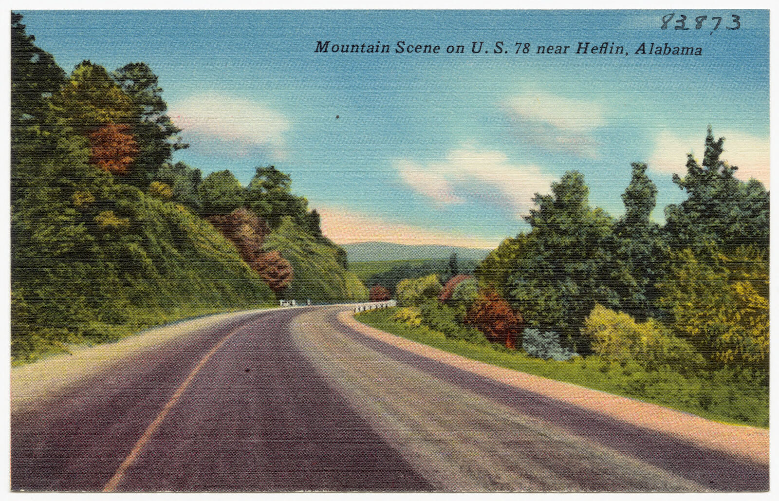
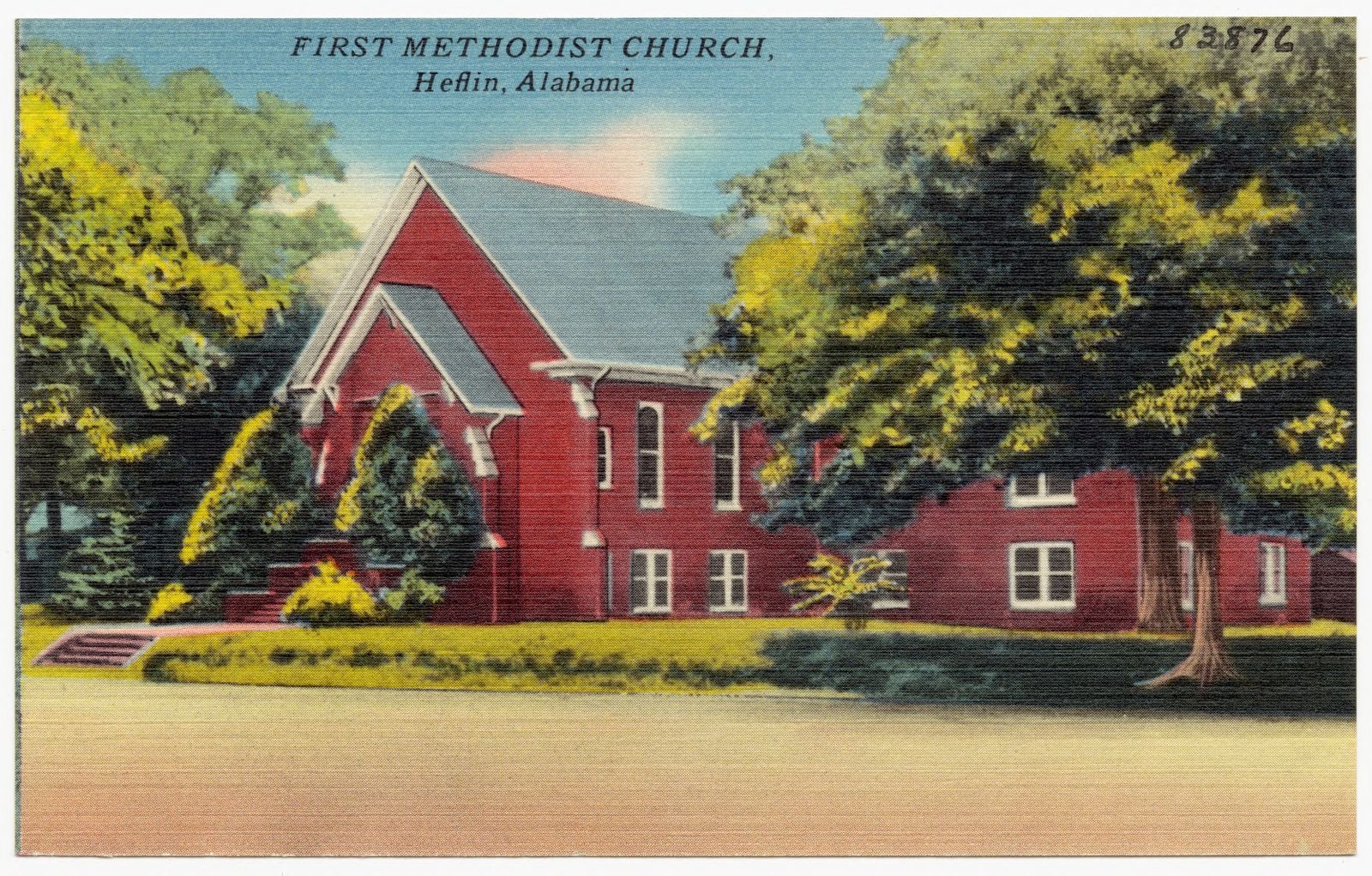
Taken for the Office of War Information and the Farm Security Administration, who photographed the country between 1935 and 1944. Works of United States government photographers, with no known restriction on use. Each opens its catalogue record.
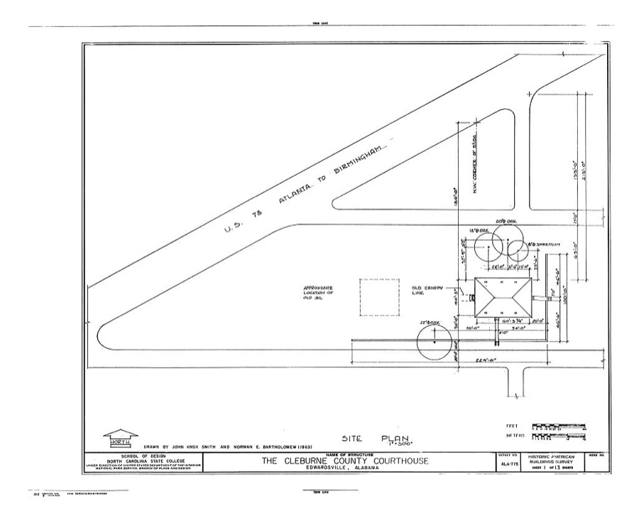
Every property in this county listed on the National Register of Historic Places, with the year it was listed and the federal nomination document.
| Photograph | Property | Type | Listed | Reference |
|---|---|---|---|---|
 | Cleburne County Courthouse | building | 1976 | 76000317 |
| Cleburne County High School | building | 2018 | 100002763 | |
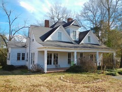 | John Morgan House | building | 1993 | 93000762 |
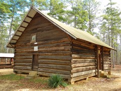 | Shoal Creek Church | building | 1974 | 74000404 |
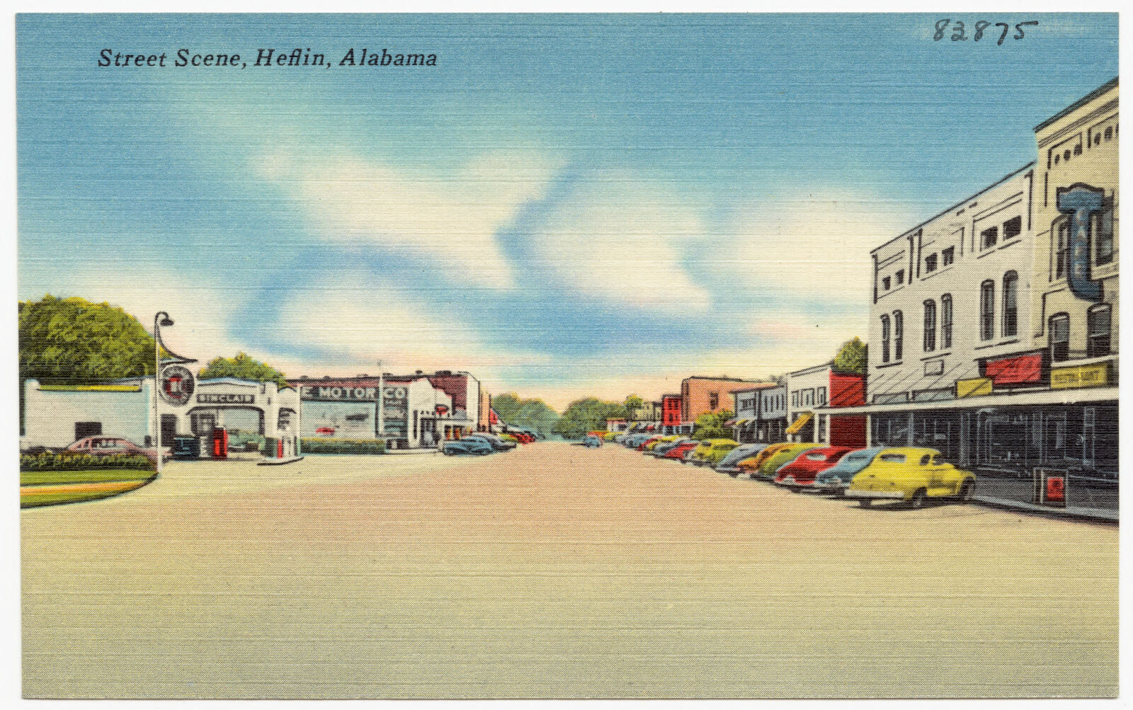
Selected from the Digital Public Library of America's 3 image records catalogued for this county. Every one shown here carries a public-domain status or a licence that permits reuse on a site that carries advertising; non-commercial, share-alike and restricted images are excluded. The selection is spread across the county's towns (at most eight per town), so no single institution's bulk upload crowds out the rest. Each opens the holding library's record, and the complete set at the Digital Public Library of America is one click away.
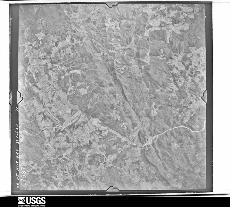
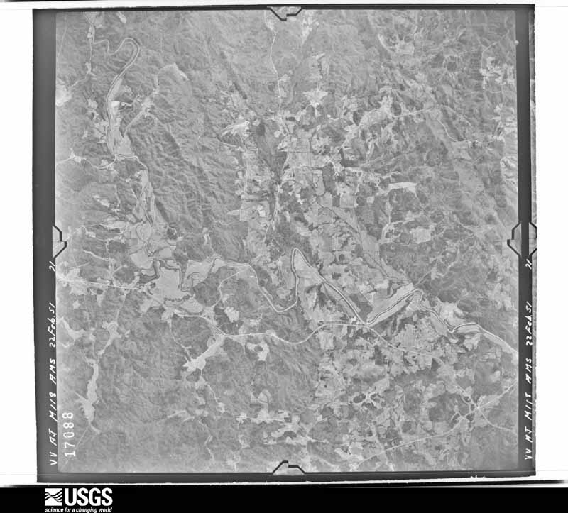
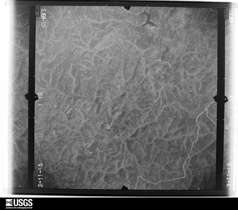
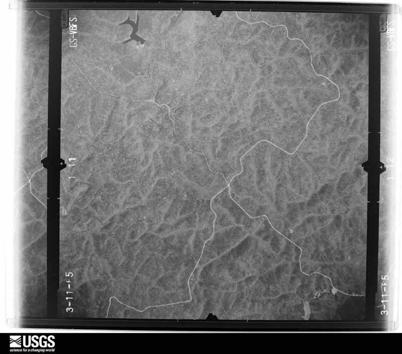
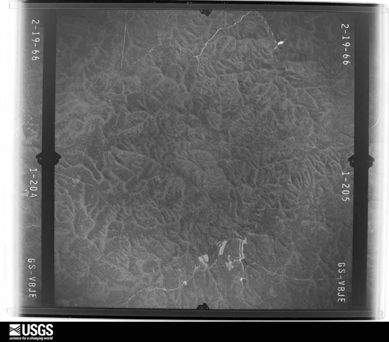
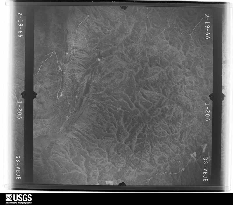
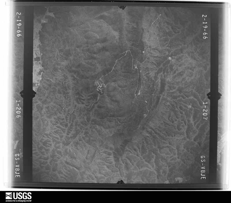
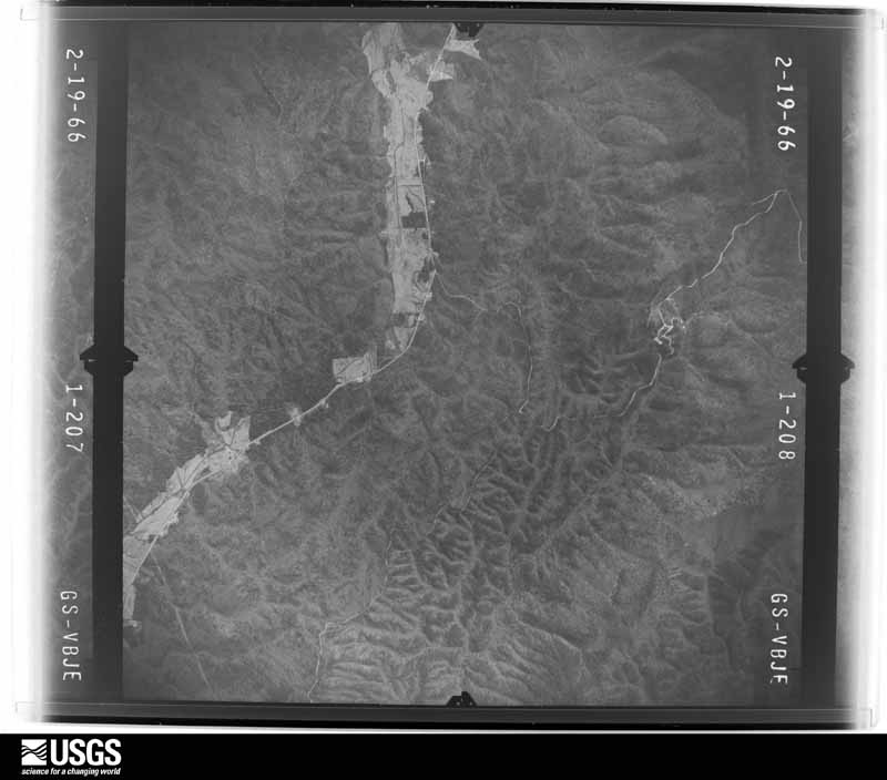
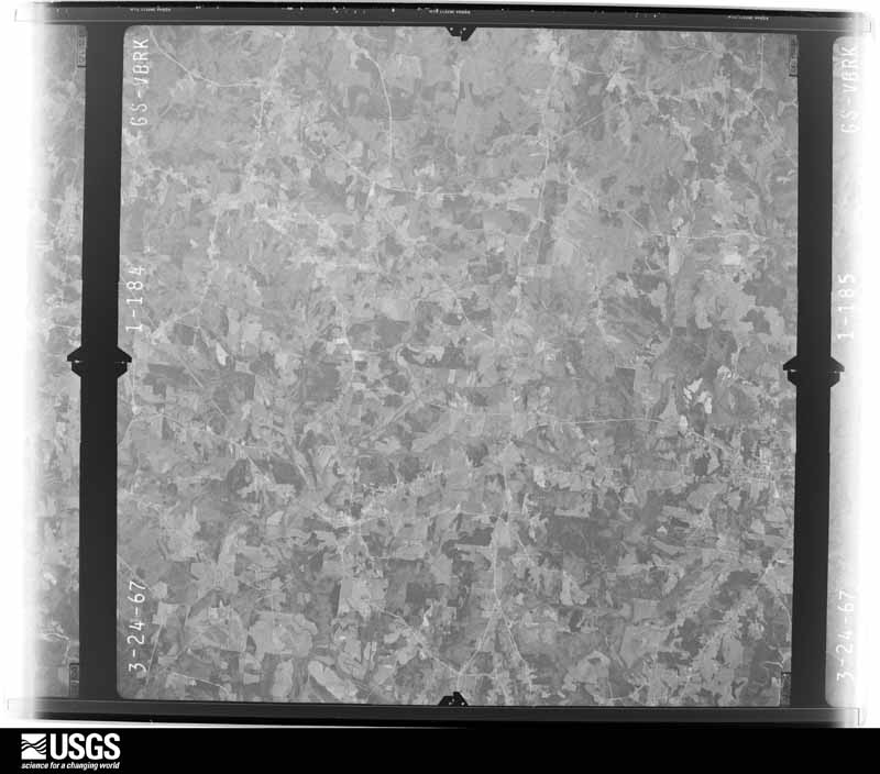
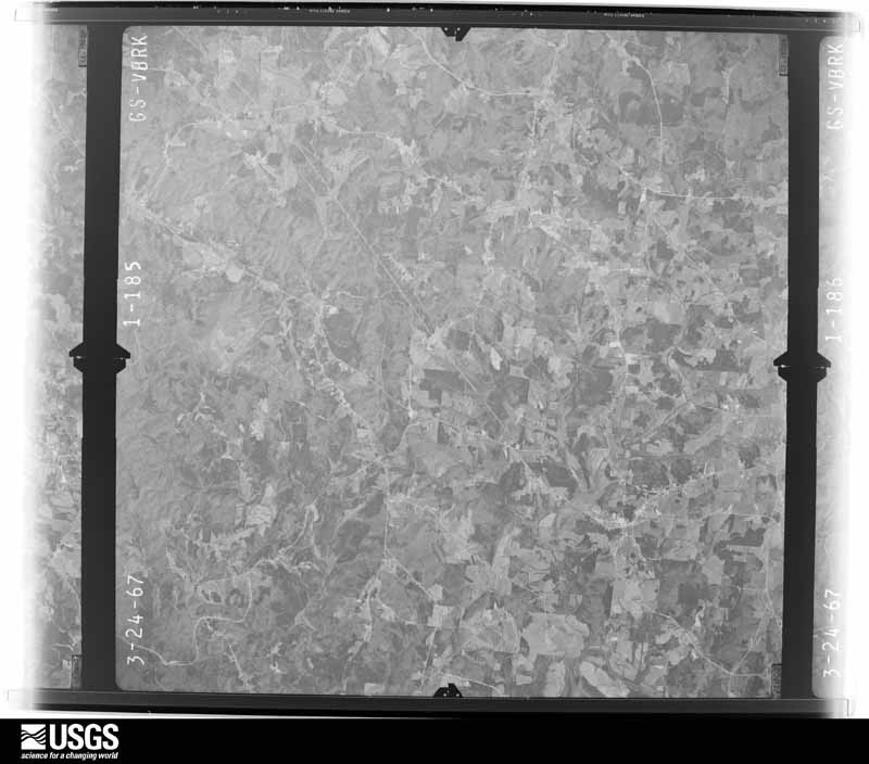
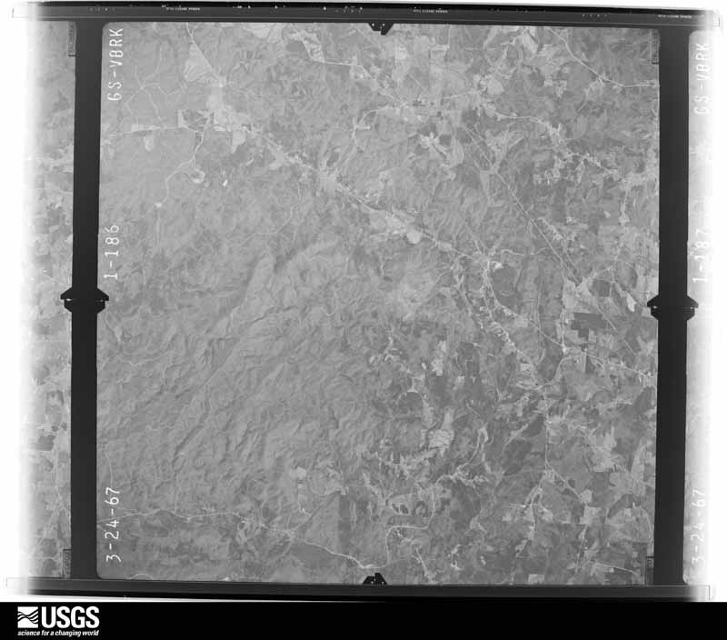
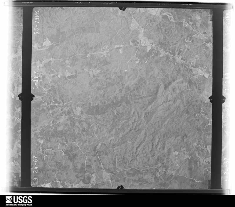
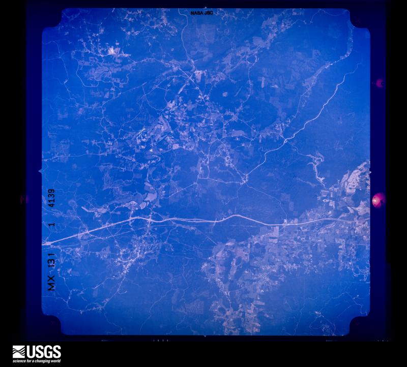
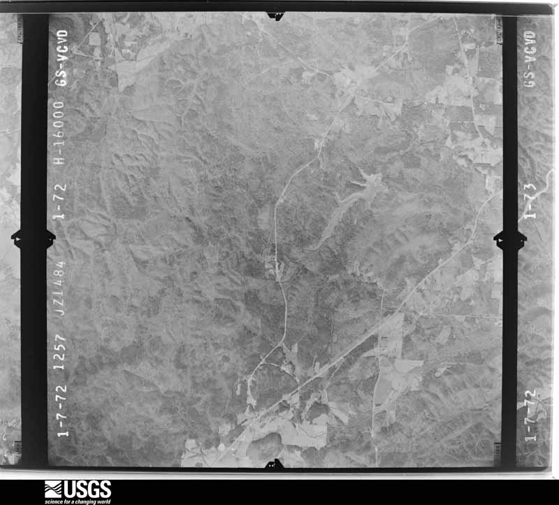
Flown by the U.S. Geological Survey between 1937 and 1989, the Aerial Photo Single Frames collection is the definitive mid-century view of the land: fields, roads and rivers as the camera saw them. The Survey holds 1,562 frames inside the rectangle that bounds this county; the 40 frames below were taken over the county itself, chosen across the decades of flights (at most four a year from that rectangle), so one flight cannot crowd out the rest. The full set is free to browse and download at EarthExplorer under the dataset Aerial Photo Single Frames.
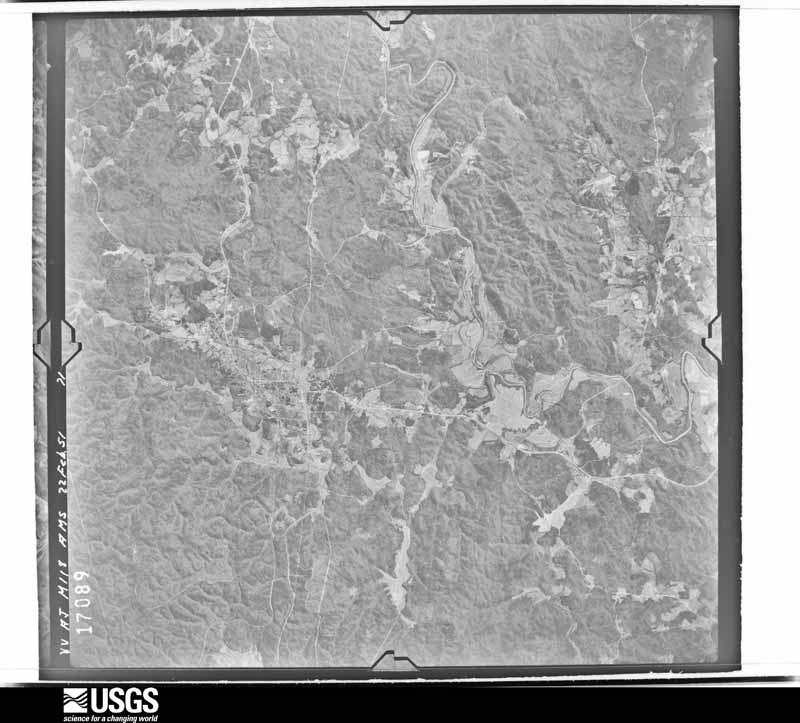
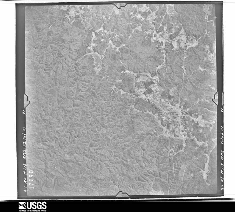
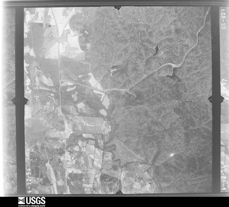
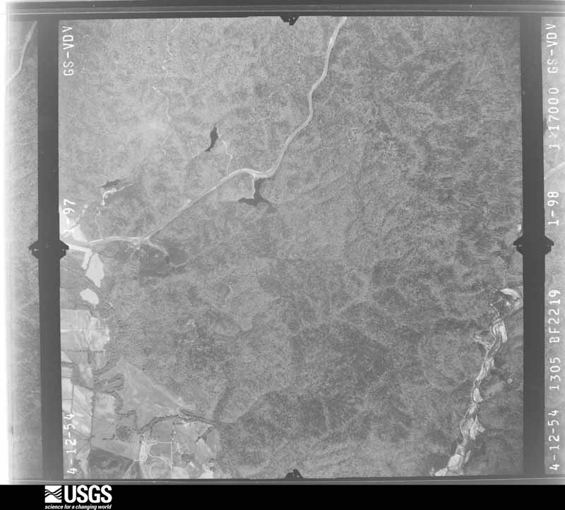
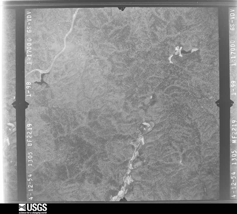
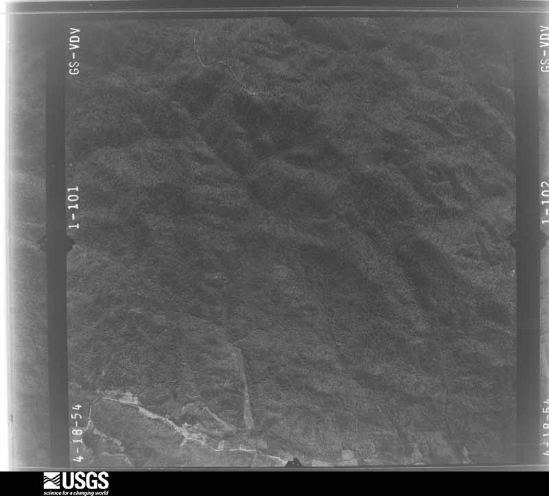
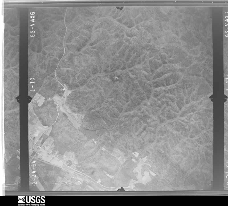
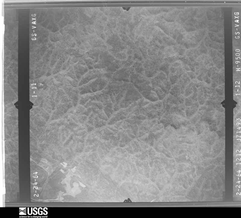
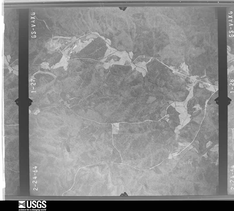
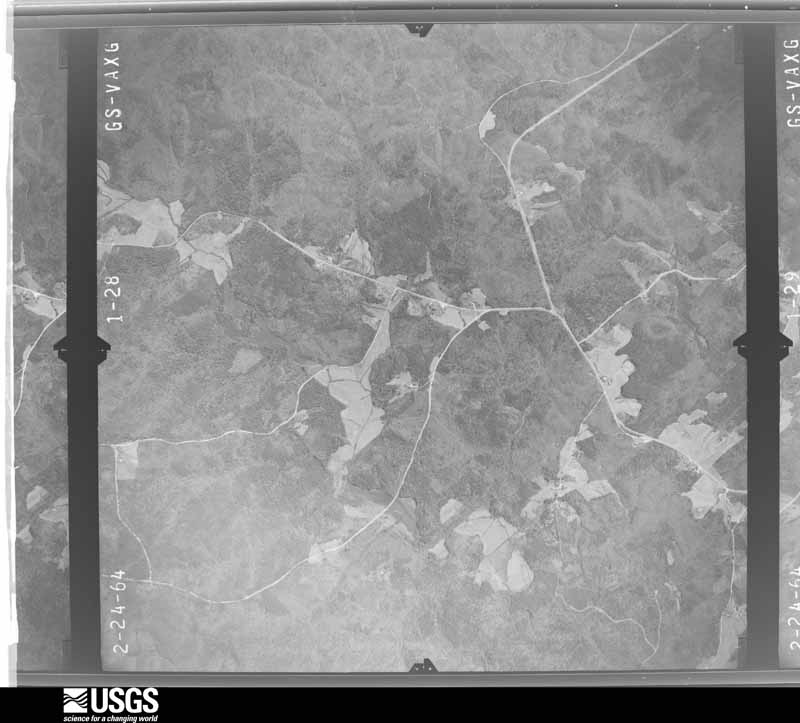
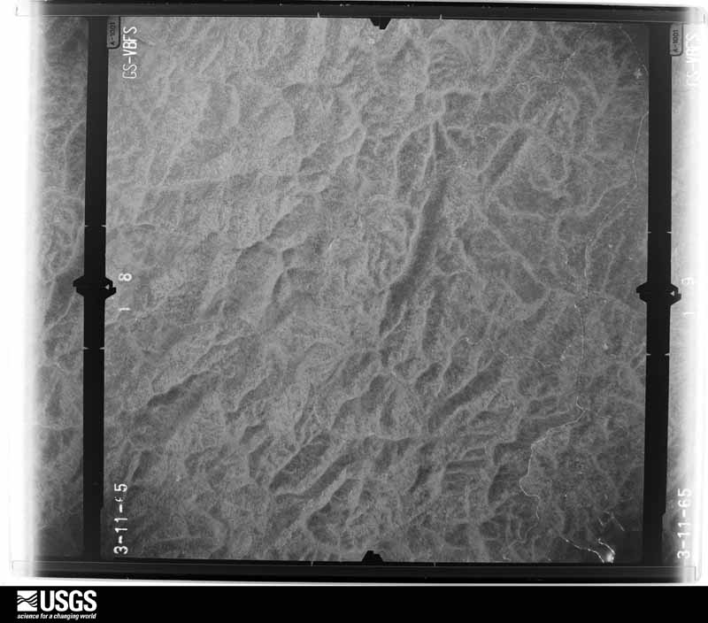
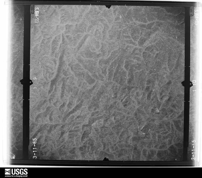







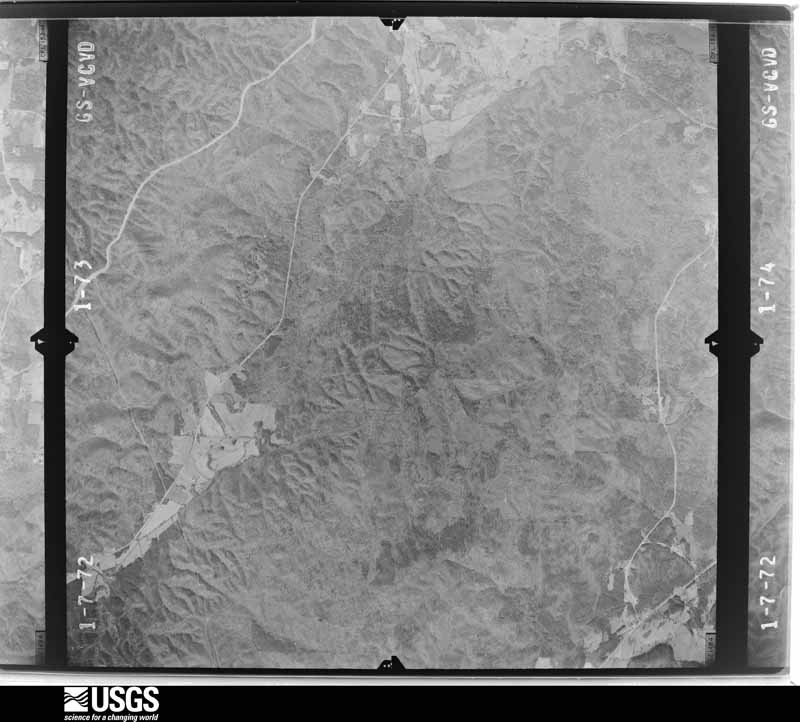
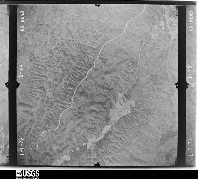
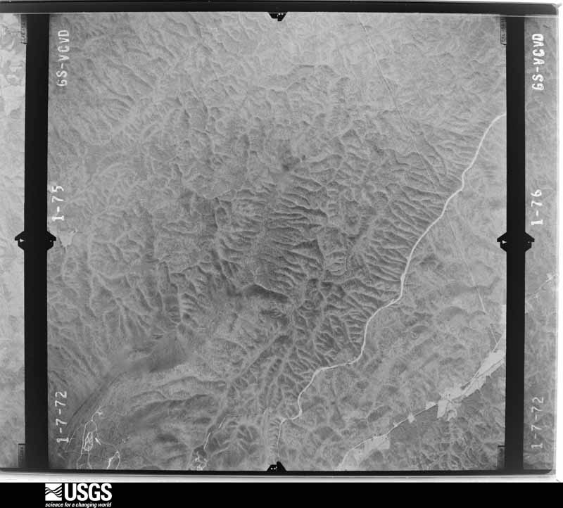
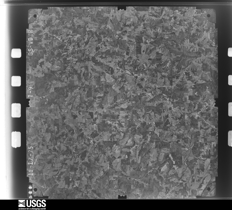
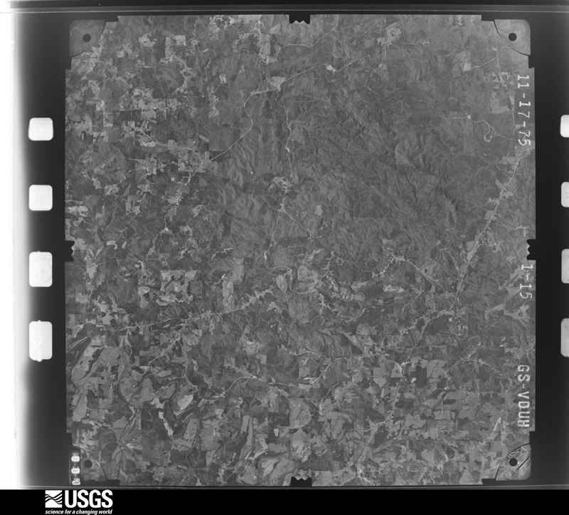
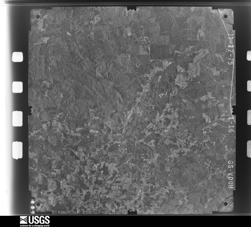
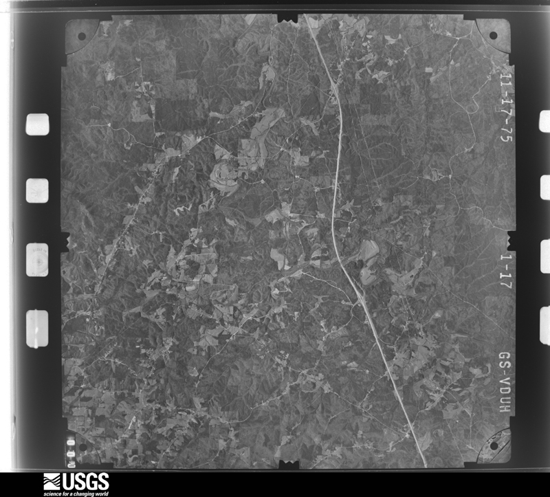
The thermometers that kept this county's weather, and the gages that measured the flow of its streams, as the federal records hold them. The extremes below are measured values from those records, not estimates.
Who lived here in 1950, one enumeration district at a time, as the Census Bureau described each district. Each row opens its official National Archives result, with Population Schedules and ED Maps available there.
Every wildfire the federal occurrence database records inside this county: 2,072 of them, burning about 53,401 acres. 42 started naturally and 1,309 were recorded as arson. Each settlement page carries the fires within five miles of it.
| Reported cause | Fires |
|---|---|
| Arson/incendiarism | 1309 |
| Debris and open burning | 482 |
| Missing data/not specified/undetermined | 132 |
| Recreation and ceremony | 43 |
| Natural | 42 |
| Equipment and vehicle use | 33 |
| Railroad operations and maintenance | 19 |
| Power generation/transmission/distribution | 5 |
| Misuse of fire by a minor | 3 |
| Smoking | 3 |
| Other causes | 1 |
The five largest, by the area the report gives. Four of them were set deliberately.
| Date | Cause | Size | Reported by | Name on the report |
|---|---|---|---|---|
| 10 April 1995 | Arson/incendiarism | 3,321 acres | National Forests in Alabama | TERRAPIN CREEK |
| 24 March 1996 | Debris and open burning | 750 acres | National Forests in Alabama | LAKE |
| 28 March 2004 | Missing data/not specified/undetermined | 631 acres | National Forests in Alabama | LITTLE TANK FIRE |
| 22 February 2011 | Missing data/not specified/undetermined | 625 acres | Alabama Forestry Commission | BORDEN SPRINGS |
| 21 March 2013 | Arson/incendiarism | 475 acres | Alabama Forestry Commission | NER-20130321-001 |
| 28 April 2019 | Arson/incendiarism | 474 acres | National Forests in Alabama | SECTION 21 |
| 5 October 2005 | Arson/incendiarism | 416 acres | Alabama Forestry Commission | not named |
| 13 March 2017 | Missing data/not specified/undetermined | 406 acres | National Forests in Alabama | OWENS LAKE |
Every settlement page carries the fires within five miles of it - see the settlement index below.
The NOAA Storm Events Database holds 180 reports for this county, causing 1 death, 13 injuries and about $4,680,600 in recorded property damage. Each settlement page carries the reports that name it.
| Kind of event | Reports |
|---|---|
| Thunderstorm Wind | 93 |
| Hail | 50 |
| Tornado | 21 |
| Flash Flood | 11 |
| Lightning | 2 |
| Heavy Rain | 2 |
| Funnel Cloud | 1 |
The most serious of them, by death, then injury, then recorded damage. The accounts are quoted exactly as the forecast office filed them.
| When | Event | Place named | Harm | What the report says |
|---|---|---|---|---|
| August 2025 | Flash Flood | Ranburne | 1 killed, 1 hurt | Heavy rain fell over Cleburne County for several hours during the early morning of August 3. Rainfall totals across the southern part of the county between Ranburne and Heflin were generally up to 5-8, with as high as 8-10 estimated by radar in the area of Turkey Heaven Mountain and corroborated by local reports. Numerous roadways were flooded or washed out, along with a bridge on CR 640. Impacted roadways included CR 10 at CR 635, CR 41, CR 633, and CR 640 all around Knokes Creek. Around 4:40 am CDT, a vehicle became stranded in high water on CR 10 at CR 635, and the occupant needed to be rescued. Around 6:20 am CDT, another vehicle became stuck in floodwaters along CR 41. Two occupants of the vehicle were swept away. One was rescued with minor injuries, while the second was found deceased a couple hours later.||Emergency management, police, and fire provided reports of other flooded or washed out roads, which included CR 10 near Pineywood Creek, CR 75 at CR 42 along Sheep Creek, CR 19 at CR 118, CR 36 at Dynne Creek near Greens Chapel, CR 49 at the Tallapoosa River near Abernathy, and CR 49 at CR 48 near Macedonia.||Streams flowing northward into the Tallapoosa River resulted in the river rising to minor flood stage near Heflin during the morning and midday hours. |
| April 1964 | Tornado (F3) | not stated | 8 hurt, $25,000 | no account filed |
| January 1975 | Tornado (F1) | not stated | 1 hurt, $250,000 | no account filed |
| May 2003 | Flash Flood | Heflin | 1 hurt, $8,000 | Cleburne County Emergency Medical Service personnel along with volunteer firemen from Hollis, Heflin, and Micaville and an Alabama State Trooper worked to rescue an unidentified male after the car he attempted to drive trough floodwaters was washed into a ditch and almost submerged. The man attempted to drive through floodwaters from the Tallapoosa River covering a portion of CR 36 when the swift current pushed the car into a ditch where it caught on some trees. |
| November 1992 | Thunderstorm Wind | not stated | 1 hurt | no account filed |
| February 1990 | Thunderstorm Wind | not stated | 1 hurt | no account filed |
| May 2008 | Tornado (EF1) | Heflin | $1,750,000 | The tornado touched down along the Talladega Scenic Drive just south of US Highway 78. It then moved along a slightly curved path until it crossed CR-79, and then tracked almost due east as it produced its most concentrated damage near SR-9. The tornado lifted near the end of Brockford Road in the vicinity of Shadow Lane, on the east side of the city of Heflin. Hundreds of trees were either snapped off or uprooted along the path. Eight homes were destroyed, and more than 40 others received significant damage. |
| March 1994 | Hail | Heflin | $500,000 | Hail slightly larger than golf ball-size was reported at Heflin. A number of trees were downed by wind. Damage in Heflin began on U.S. Highway 78 West and crossed through town. |
| May 2003 | Flash Flood | Countywide | $250,000 | Thirty to forty roads were flooded and impassable for at least 10 hours. The hardest hit areas were along the Cleburne and Randolph County line in extreme southern Cleburne County. A mudslide occurred on SR 9 near Heflin. |
| November 1992 | Tornado (F1) | not stated | $250,000 | no account filed |
| May 1984 | Tornado (F2) | not stated | $250,000 | no account filed |
| May 1984 | Tornado (F2) | not stated | $250,000 | no account filed |
| February 2008 | Thunderstorm Wind | Heflin | $200,000 | Numerous trees and power lines were blown down across the northern portion of the county. At least 10 buildings had roof damage due to downed trees, and at least 3 buildings had roofs completely blown off. Several mobile homes in a mobile home park suffered varying degrees of damage to underpinning, roofs, and structure. |
| August 2008 | Tornado (EF2) | Chulafinnee | $100,000 | The tornado touched down on US-431, about a half mile south of the intersection with AL-281. It then moved northwestward, along and just east of US-431, and lifted just before reaching AL-281. One gas station/convenience store and one auto body shop were significantly damaged. Approximately 100 to 200 trees were snapped off or were uprooted along the damage path. This tornado was associated with the remnants of Tropical Storm Fay. |
| July 2007 | Thunderstorm Wind | Fruithurst | $100,000 | Several trees and powerlines were blown down across East Central Cleburne County. A few homes suffered significant damage due to fallen trees. |
| May 2003 | Lightning | Ranburne | $70,000 | Lightning struck a home on Webb Drive and the resulting fire damaged 50 percent of the home. Another lightning strike caused minor damage to a home on SR 46. |
| May 2003 | Thunderstorm Wind | Hollis Xrds | $60,000 | Two severe thunderstorms moved across southern Cleburne County. Numerous trees and power lines were blown down from near Hollis Crossroads to Micaville to near Ranburne. Many of the trees temporarily blocked roadways. Two homes were damaged near Micaville. |
| May 2008 | Tornado (EF1) | Edwardsville | $50,000 | The tornado touched down near Exit 205 along Interstate 20, or 5 miles east of Heflin, and traveled eastward. The tornado affected areas generally along CR-114 east of SR-46. The tornado lifted just west of the intersection of CR-114 and CR-62. Several homes were badly damaged and at least two had significant portions of their roofs blown off. Numerous trees were blown down or were snapped off along the path. |
| September 2004 | Flash Flood | Countywide | $50,000 | no account filed |
| May 2003 | Lightning | Heflin | $48,000 | Lightning was believed responsible for fires at three houses in and east of Heflin. |
| September 1996 | Tornado (F0) | Heflin | $45,000 | no account filed |
| July 2005 | Thunderstorm Wind | Heflin | $37,000 | A large interstate light pole fell on a traveling vehicle on the entrance ramp to Interstate 20 Exit 199. The occupants of the vehicle were uninjured. Several trees and one billboard were blown down in the Heflin area. |
| July 2000 | Thunderstorm Wind | Countywide | $25,000 | Several trees were snapped or uprooted in various locations across the county. |
| January 1998 | Flash Flood | Countywide | $25,000 | no account filed |
| June 1987 | Tornado (F1) | not stated | $25,000 | no account filed |
| May 1984 | Tornado (F1) | not stated | $25,000 | no account filed |
| January 1971 | Tornado (F1) | not stated | $25,000 | no account filed |
| November 1957 | Tornado (F1) | not stated | $25,000 | no account filed |
| June 2005 | Thunderstorm Wind | Heflin | $19,000 | Numerous trees and power lines were blown down south of Heflin along the Tallapoosa River. Several trees fell onto State Highway 9, County Road 12, County Road 36 and in the Beason Mill community. |
| November 2004 | Thunderstorm Wind | Heflin | $17,000 | One home sustained moderate wind damage in the Abernathy Community near Exit 210 on Interstate 20. |
| March 2005 | Thunderstorm Wind | Heflin | $14,000 | Several power lines were blown down in the city of Heflin. |
| May 2003 | Thunderstorm Wind | Countywide | $12,000 | Numerous trees were blown down across the county. |
| April 2011 | Thunderstorm Wind | Union Hill | $10,000 | In addition to approximately half a dozen trees down across the county, a roof was blown off an outbuilding at the intersection of County Road 10 and County Road 96. |
| July 2008 | Thunderstorm Wind | Chulafinnee | $10,000 | A tree fell onto a house, several chicken houses were damaged, and several power lines were blown down, in the Five Points area. |
| July 2007 | Thunderstorm Wind | Belltown | $10,000 | Numerous trees were blown down and blocked both lanes of Interstate 20, between mile markers 194 and 197. Traffic came to a standstill for over an hour, before the trees could be cleared from the road. |
| July 2005 | Thunderstorm Wind | Hollis Xrds | $10,000 | A large flag pole was blown down at a church in Hollis Crossroads. |
| June 2004 | Thunderstorm Wind | Countywide | $10,000 | Several trees were blown down across the county. |
| May 2002 | Thunderstorm Wind | Hollis Xrds | $10,000 | Several trees were blown down or uprooted near Hollis Crossroads. |
| February 2001 | Thunderstorm Wind | Countywide | $10,000 | Cleburne County reported numerous trees and power lines knocked down and snapped off. Several homes and businesses received varying degrees of roof damage. Many roads were closed because of downed trees. |
| May 1998 | Hail | Heflin | $10,000 | Golf ball size hail was reported in Heflin. |
| April 1996 | Thunderstorm Wind | Fruithurst | $10,000 | no account filed |
| July 2005 | Flash Flood | Heflin | $7,000 | County Road 42 and County Road 43 were flooded and temporarily closed. |
| November 2004 | Flash Flood | Countywide | $6,000 | Numerous roads were reported covered with water and were temporarily impassable. Doppler radar estimated three to four inches of rain mainly across the northern part of the county. Isolated spots may have seen up to 6 inches of rain. |
| July 2003 | Thunderstorm Wind | Fruithurst | $6,000 | Several trees were knocked down in the Piney Woods community. |
| July 2003 | Thunderstorm Wind | Borden Spgs | $6,000 | Several trees were blown down in the Oak Level community. |
| February 1999 | Thunderstorm Wind | Hopewell | $5,000 | The Old Hopewell Church had its steeple blown off and had minor roof damage. A few trees were also reported down in the area. |
| November 2010 | Thunderstorm Wind | Heflin | $4,000 | Trees and a power pole were blown down along Bells Mill Road, near Cherokee County High School. |
| December 2000 | Thunderstorm Wind | Edwardsville | $4,000 | Several trees were blown down in the National Forest just north and northwest of Edwardsville. |
| November 2010 | Thunderstorm Wind | Heflin | $3,000 | Several trees were blown down near the intersection of US-78 and AL-281, west of Heflin. |
| June 2006 | Thunderstorm Wind | Ranburne | $3,000 | Several trees were reported down in the Abel Community. |
| June 2006 | Thunderstorm Wind | Borden Spgs | $3,000 | Several trees were blown down. |
| June 2002 | Thunderstorm Wind | Hollis Xrds | $3,000 | Several trees and power lines were blown down in Hollis Crossroads on CR 10, in and around Micaville, and in Heflin. |
| March 2000 | Thunderstorm Wind | Heflin | $3,000 | Trees and power lines were knocked down in Heflin. |
| June 1999 | Flash Flood | Countywide | $3,000 | Several roads were flooded between Edwardsville and Fruithurst. Additional road flooding occurred in Heflin. |
| July 2001 | Thunderstorm Wind | Countywide | $3,000 | no account filed |
| December 1961 | Tornado (F1) | not stated | $2,500 | no account filed |
| February 2011 | Thunderstorm Wind | Heflin | $2,000 | Several trees were blown down along Perryman Bridge Rd and Evans Bridge Rd, between Heflin and Interstate 20. |
| June 2011 | Thunderstorm Wind | Belltown | $2,000 | Several trees were blown down along Interstate 20. |
| June 2008 | Thunderstorm Wind | Fruithurst | $2,000 | A few trees were blown down near the Fruithurst Community. |
| April 2005 | Thunderstorm Wind | Countywide | $2,000 | A few trees were blown down throughout the county. |
The Survey's mineral resources record lists 132 workings inside this county. 4 still produce and 128 are closed or unrecorded. Each settlement page carries the workings within five miles of it.
| Commodity | Workings |
|---|---|
| Gold | 75 |
| Iron | 21 |
| Copper | 11 |
| Mica | 10 |
| Sand and Gravel, Construction | 4 |
| Manganese | 3 |
| Kyanite | 3 |
| Manganese, Iron | 2 |
| Barium-Barite | 2 |
| Quartz | 1 |
| Zinc | 1 |
| Iron, Sulfur | 1 |
| Arsenic | 1 |
| Iron, Sulfur, Zinc | 1 |
The least common of them first, because a county's hundredth gravel pit says nothing its first ten did not.
| Where | Site | Commodity | Status | Recorded |
|---|---|---|---|---|
| Agusta Mine | Manganese, Iron, Cobalt | Past Producer | 1918 | |
| Augusta Mines | Cobalt, Manganese | Past Producer | 1918 | |
| Golden Eagle Mine | Gold, Arsenic | Past Producer | 1893 | |
| Howle Prospect | Beryllium, Mica | Occurrence | ||
| Johnston Prospect | Copper, Sulfur | Occurrence | ||
| King Mine | Gold, Quartz | Past Producer | Vein | |
| Moss-Back Mine | Copper, Gold | Past Producer | 1870 | |
| Old Woods Copper Mine | Copper, Zinc, Iron, Sulfur | Past Producer | Chalcopyrite, Pyrrhotite, Sphalerite | |
| Old Woods Cu Mine | Copper, Sulfur, Zinc | Past Producer | ||
| Smith Prospect | Sulfur, Copper | Occurrence | ||
| Stone Hill Cu Mine Et Al | Copper, Iron, Sulfur, Zinc | Past Producer | ||
| Stone Hill Mine | Copper, Lead, Zinc | Past Producer | 1874 | |
| Agusta Mine/Stockdale Mine | Manganese, Iron | Past Producer | Residual | |
| Hart Prospect | Barium-Barite | Prospect | ||
| Mat Teague Prospect | Barium-Barite | Prospect | ||
| Henderson Deposit | Manganese | Past Producer | Wad | |
| Henderson Deposit | Manganese | Past Producer | Residual | |
| Henderson Deposit | Manganese | Past Producer | 1953 | |
| Turkey Heaven Kyanite Prospect | Kyanite | Occurrence | Kyanite | |
| Turkey Heaven Mtn Deposits | Kyanite | Occurrence | ||
| William Howle Prospect | Kyanite | Prospect | ||
| Arbacoochee Placer Mines | Gold, Sand and Gravel, Construction | Past Producer | 1836 | |
| Chulafinnee Placer Mines | Gold, Sand and Gravel, Construction | Past Producer | Placer | |
| Farmer Supply Co. Pit | Sand and Gravel, Construction | Producer | ||
| G.E. Webb Gravel Co. Pit | Sand and Gravel, Construction | Producer | ||
| Heflin Mill | Mica | Plant | ||
| Jim Fleming Mine | Mica | Prospect | ||
| Jim Fleming Mine | Mica | Past Producer | ||
| Jordan Mine | Mica | Past Producer | ||
| Micaville Road Prospects | Mica | Prospect | ||
| Morris Mine | Mica | Past Producer | ||
| Schefner No. 1 Mine | Mica | Past Producer | ||
| Schefner No. 2 Mine | Mica | Past Producer | ||
| Woodstock Prospect | Mica | Prospect | ||
| Chulafinnee Copper Anomoly | Copper | Occurrence | 1964 | |
| First Woods Prospect | Copper | Unknown | 1854 | |
| Johnson Prospect | Copper | Occurrence | Chalcopyrite | |
| Johnston Prospect | Copper | Unknown | 1874 | |
| Moss-Back Mine | Gold, Copper | Past Producer | 1890 | |
| Smith Mine | Copper | Past Producer | 1854 | |
| Smith Prospect | Copper | Occurrence | Chalcopyrite | |
| Trickem Copper Anomoly | Copper | Occurrence | 1964 | |
| Abel Gap Iron Ore Mine | Iron | Past Producer | Goethite | |
| Abel Gap Mine | Iron | Past Producer | Residual | |
| Anna Howe Mine | Gold, Iron | Past Producer | Gold, Pyrite | |
| Augusta Mine | Iron | Unknown | ||
| Chalafinnee Mine | Iron | Past Producer | Residual | |
| Chalafinnee Taylor Mine | Iron | Past Producer | Residual | |
| Chulafinnee Ore Co Mine | Iron | Past Producer | 1940 | |
| Chulafinnee Ore Company Mine | Iron | Unknown | ||
| Chulafinnee Taylor Mine | Iron | Past Producer | 1940, 1941 | |
| J and J Mining Company Mine | Iron | Unknown | ||
| Kyle-McKelroy | Iron | Unknown | ||
| Unnamed | Iron | Unknown | ||
| Unnamed | Iron | Unknown | ||
| Unnamed | Iron | Unknown | ||
| Unnamed | Iron | Unknown | ||
| Unnamed | Iron | Unknown | ||
| Unnamed | Iron | Unknown | ||
| Unnamed | Iron | Unknown | ||
| Unnamed | Iron | Unknown | ||
| Unnamed Prospect | Iron | Occurrence | ||
| Verge-York Prospect | Iron | Past Producer | ||
| Anna Howe Mine | Gold | Past Producer | ||
| Anna Howe Mine Crutchfield/Valdor | Gold | Past Producer | Vein | |
| Arabacoochee Placer | Gold | Past Producer | ||
| Arbacoochee Lode and Placer | Gold | Past Producer | ||
| Ayers Prospect | Gold | Occurrence | Gold | |
| Ayers Prospect | Gold | Prospect | ||
| Ballinger Prospect | Gold | Occurrence | Gold | |
| Ballinger Prospect | Gold | Occurrence | ||
| Bennifield Prospect | Gold | Occurrence | Gold | |
| Bennifield Prospect | Gold | Prospect | ||
| Carr Creek Placer | Gold | Past Producer | Placer | |
| Carr Creek Placer | Gold | Past Producer | ||
| Chulafinnee Placer | Gold | Past Producer | ||
| Clear Creek Lode and Placer | Gold | Past Producer | 1845, 1907 | |
| Clear Creek Placer | Gold | Past Producer | ||
| Creamer Mine | Gold | Past Producer | Gold | |
| Crown Point Mine | Gold | Past Producer | ||
| Crown Point Property Prospect | Gold | Occurrence | Gold | |
| Crumpton Prospect | Gold | Occurrence | Gold | |
| Crumpton Prospect | Gold | Occurrence | ||
| Crutchfield Mine | Gold | Past Producer | Gold | |
| Crutchfield Mine | Gold | Past Producer | ||
| Denson Prospect | Gold | Occurrence | Gold | |
| Denson Prospect | Gold | Prospect | ||
| Eckles Mine | Gold | Past Producer | Gold | |
| Eckles Mine | Gold | Past Producer | Vein | |
| Eckles Mine | Gold | Past Producer | ||
| Golden Eagle Mine Arbacoochee Placer A | Gold | Past Producer | Vein | |
| Head Mine | Gold | Past Producer | Gold | |
| Head Mine | Gold | Prospect | ||
| Hicks-Wise Mine | Gold | Past Producer | Gold | |
| Hicks-Wise Mine | Gold | Past Producer | ||
| Higginbottom Prospect | Gold | Occurrence | Gold | |
| Higginbottom Prospect | Gold | Occurrence | ||
| King Mine | Gold | Past Producer | ||
| King Mine & Placer | Gold | Past Producer | Vein | |
| King Placer Mine | Gold | Producer | 1980 | |
| Lee Mine | Gold | Past Producer | Gold | |
| Lee Mine | Gold | Past Producer | ||
| Lee Mine Hicks-Wise/Head | Gold | Past Producer | ||
| Lucky Joe Mine | Gold | Past Producer | 1893 | |
| Lucky Joe Mine | Gold | Past Producer | ||
| Marble Pit | Gold | Past Producer | ||
| Marble Pit Mine | Gold | Past Producer | Gold | |
| Marion White Prospect | Gold | Occurrence | Gold | |
| Marion White Prospect | Gold | Past Producer | Vein | |
| Marion White Prospect | Gold | Prospect | ||
| Middle Brook Mine | Gold | Past Producer | ||
| Middlebrook Mine | Gold | Past Producer | Gold | |
| Miller Prospect | Gold | Occurrence | Gold | |
| Miller Prospect | Gold | Prospect | ||
| Moss-Back Mine Pritchard/Lucky Joe | Gold | Past Producer | Vein | |
| Prince Mine | Gold | Past Producer | ||
| Pritchard Mine | Gold | Past Producer | ||
| Pritchet Mine | Gold | Past Producer | Gold | |
| Reeves Shaft | Gold | Prospect | ||
| Reverend Mr. King's Mine | Gold | Past Producer | ||
| Riddle Mine | Gold | Past Producer | Vein | |
| Section 5 - Arbacoochee Mine | Gold | Past Producer | Gold | |
| Striplin Placer | Gold | Past Producer | ||
| Striplin, Higgingbottom Prospects | Gold | Occurrence | Vein | |
| Sutherland Mine | Gold | Past Producer | Gold | |
| Sutherland Mine | Gold | Past Producer | ||
| Sutherland Mine Middlebrook Mine/Bennifield Prospect | Gold | Past Producer | Vein | |
| Unnamed Gold Prospect | Gold | Occurrence | Gold | |
| Unnamed Gold Prospect | Gold | Occurrence | Gold | |
| Unnamed Gold Prospect | Gold | Occurrence | Gold | |
| Valdor Prospect | Gold | Prospect | ||
| Wise Mine | Gold | Past Producer |
Named settlements recorded in the Geographic Names Information System, each with the topographic sheets covering it. Villages, hamlets and abandoned places alike. Each is shown with the nearest named watercourse or landform and the survey quadrangle it falls on. The 1 place that was also surveyed for fire insurance comes first, with the number of atlases and photographs held for them.
Heflin census division · 36264 · On Rocky Branch · Heflin quadrangle
17 sheets, 1900 to 2001
Fire insurance: 2 atlases
Heflin census division · 36258 · On Nixon Branch · Hollis Crossroads quadrangle
17 sheets, 1900 to 2001
Ranburne census division · 36264 · On Owen Creek · Fruithurst quadrangle
15 sheets, 1889 to 1981
Heflin census division · 36264 · On Clear Creek · Ross Mountain quadrangle
17 sheets, 1900 to 2001
No longer a settlement
Heflin census division · 36264 · On Verdin Creek · Hightower quadrangle
14 sheets, 1889 to 1981
Heflin census division · 36264 · On Snake Creek · Ross Mountain quadrangle
17 sheets, 1900 to 2001
Fruithurst census division · 36272 · On Hog Creek · Borden Springs quadrangle
17 sheets, 1889 to 2001
Fruithurst census division · 36272 · On Little Terrapin Creek · Borden Springs quadrangle
17 sheets, 1889 to 2001
Heflin census division · 36264 · On Turner Creek · Hollis Crossroads quadrangle
17 sheets, 1900 to 2001
Heflin census division · 36264 · On Rocky Branch · Choccolocco quadrangle
19 sheets, 1900 to 2001
Heflin census division · 36264 · On Town Creek · Heflin quadrangle
17 sheets, 1900 to 2001
Heflin census division · 36264 · On Clear Creek · Ross Mountain quadrangle
17 sheets, 1900 to 2001
Fruithurst census division · 36272 · On Marys Creek · Piedmont SE quadrangle
16 sheets, 1900 to 2001
Heflin census division · 36264 · On Chulafinnee Creek · Hollis Crossroads quadrangle
17 sheets, 1900 to 2001
Ranburne census division · 36264 · On Albright Creek · Fruithurst quadrangle
15 sheets, 1889 to 1981
Ranburne census division · 36269 · On Williams Creek · Tallapoosa South quadrangle
15 sheets, 1889 to 1981
Fruithurst census division · 36272 · On Dry Creek · Piedmont SE quadrangle
16 sheets, 1900 to 2001
Fruithurst census division · 36269 · On Hales Fork · Oak Level quadrangle
16 sheets, 1889 to 1981
Fruithurst census division · 36262 · On Town Creek · Heflin quadrangle
17 sheets, 1900 to 2001
Fruithurst census division · 36269 · On Muscadine Creek · Fruithurst quadrangle
15 sheets, 1889 to 1981
Fruithurst census division · 36262 · On Wallace Creek · Oak Level quadrangle
16 sheets, 1889 to 1981
Fruithurst census division · 36272 · Near Mercer Mountain · Borden Springs quadrangle
17 sheets, 1889 to 2001
Ranburne census division · 36264 · On Owen Creek · Fruithurst quadrangle
15 sheets, 1889 to 1981
Ranburne census division · 36273 · On Little Lost Creek · Bowdon West quadrangle
16 sheets, 1889 to 1981
The vanished settlements of Cleburne County: the places named above that are no longer on the map.
17 topographic sheets and 2 fire insurance atlases, 1930 to 1940
The complete index, with nothing left out. Each of these is a separate record with its own page: a federal survey report, or the case file that argued a property on to the National Register. Both are public domain and reproduced word for word.
The vanished settlements of Cleburne County, the places these records name that are no longer on the map.