 Block
From the record
4 National Register listings published here.
Sources: the county history on the Internet Archive · the National Register database, National Park Service
38 topographic sheets and 7 fire insurance atlases across 1 place.
4 National Register listings published here.
Sources: the county history on the Internet Archive · the National Register database, National Park Service
Taken for the Office of War Information and the Farm Security Administration, who photographed the country between 1935 and 1944. Works of United States government photographers, with no known restriction on use. Each opens its catalogue record.

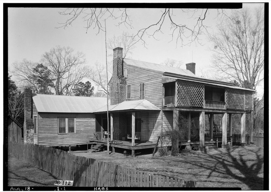
Every property in this county listed on the National Register of Historic Places, with the year it was listed and the federal nomination document.
| Photograph | Property | Type | Listed | Reference |
|---|---|---|---|---|
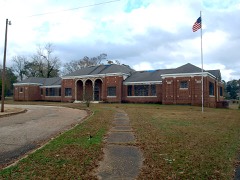 | Evergreen School | building | 2016 | 16000398 |
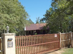 | Asa Johnston Farmhouse | building | 2008 | 08000455 |
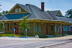 | Louisville and Nashville Depot | building | 1975 | 75000308 |
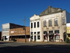 | New Evergreen Commercial Historic District | district | 1994 | 93001542 |
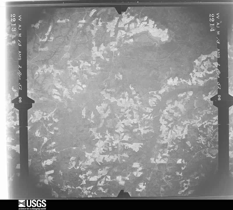
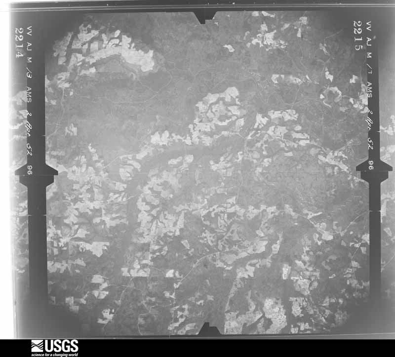
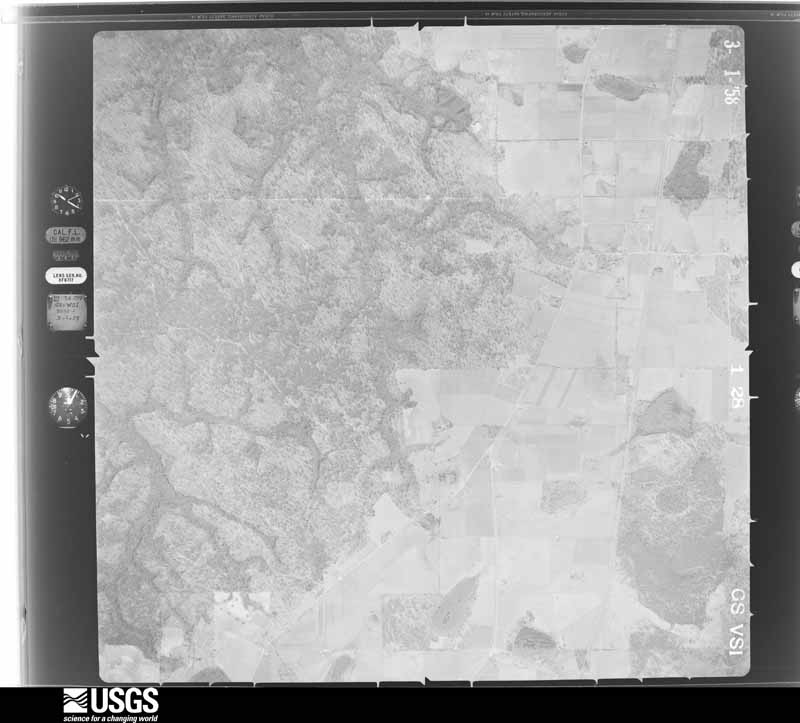
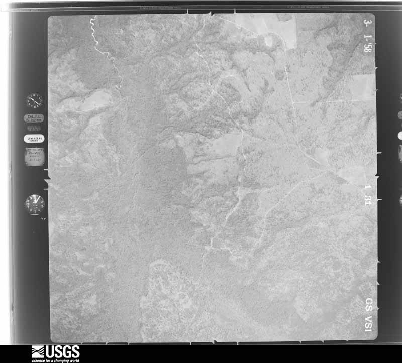
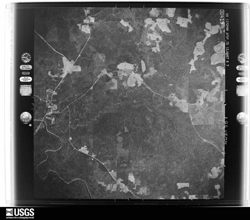
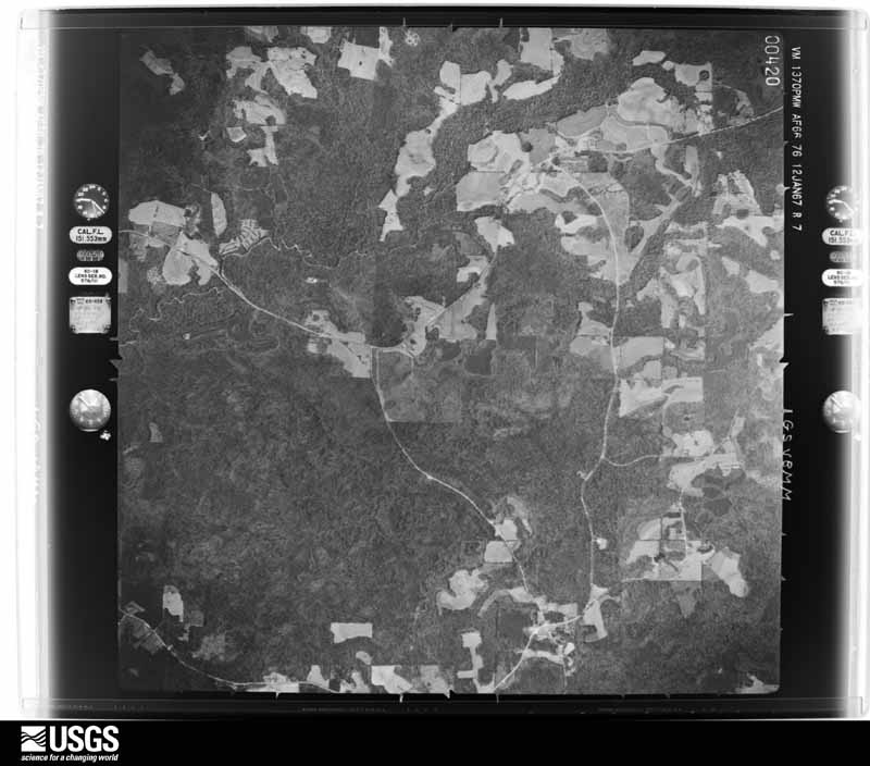
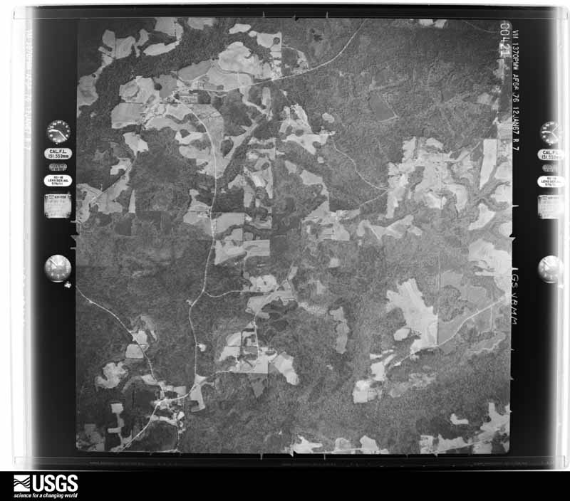
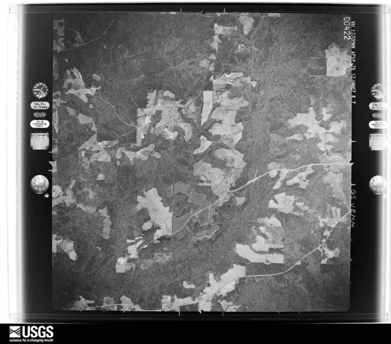
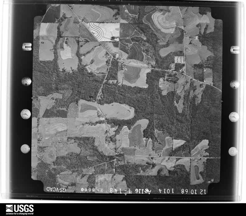
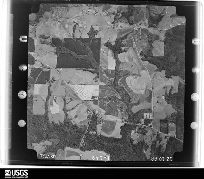
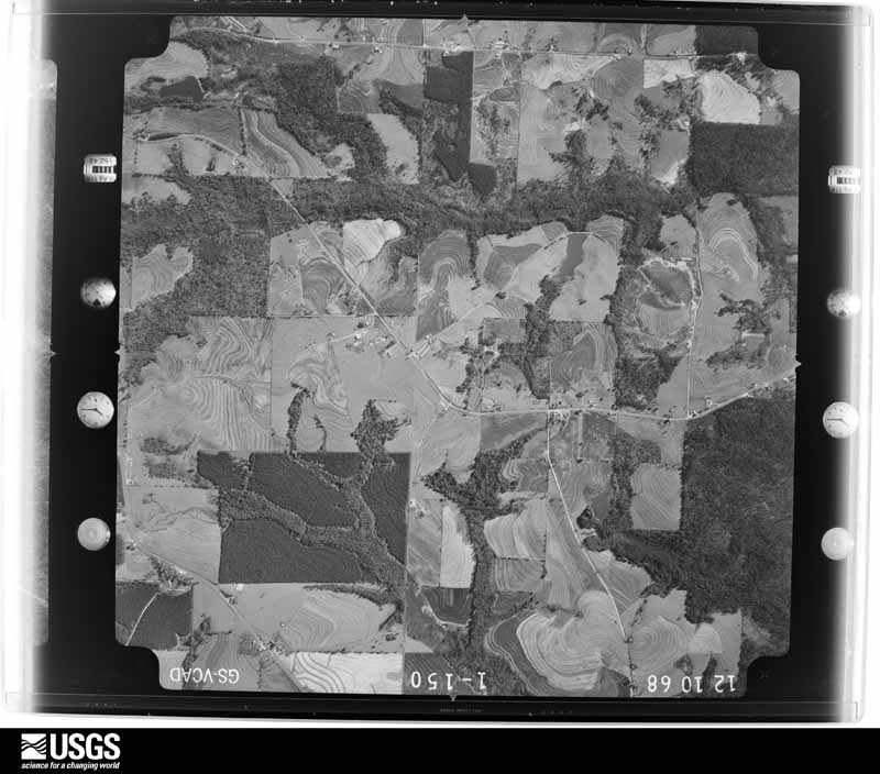
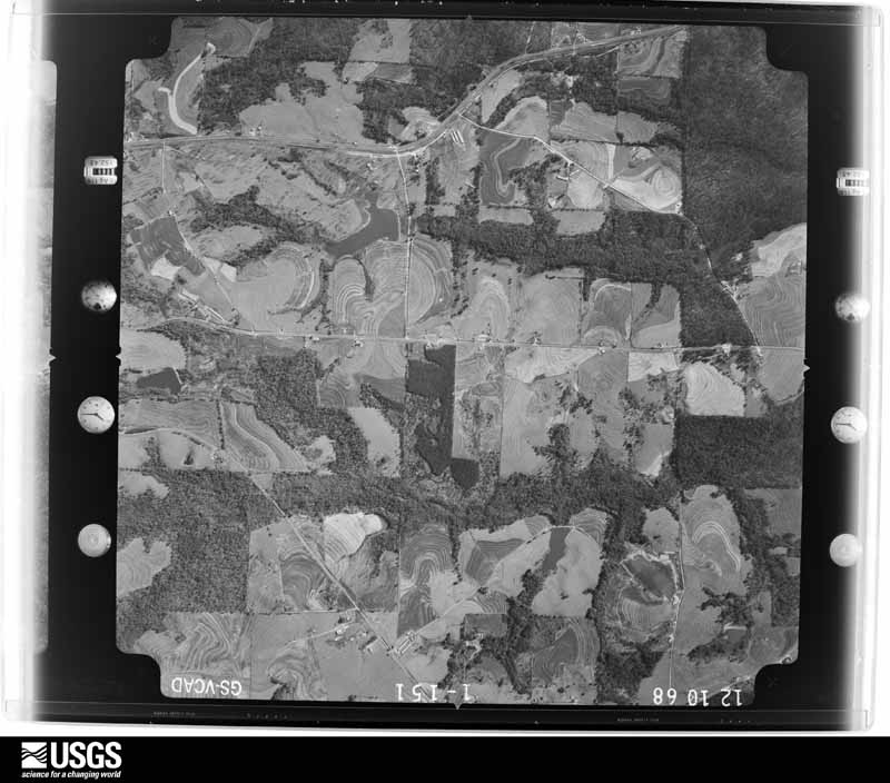
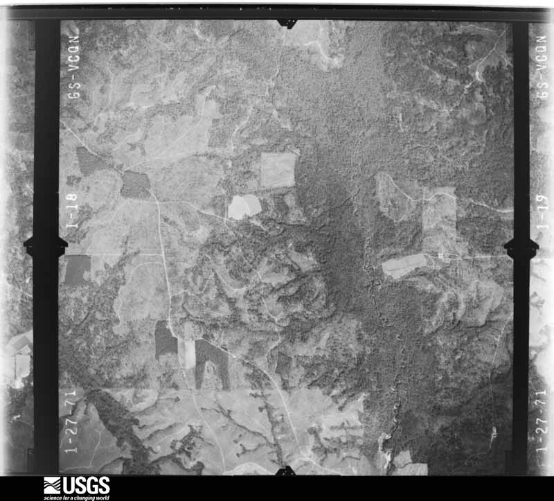
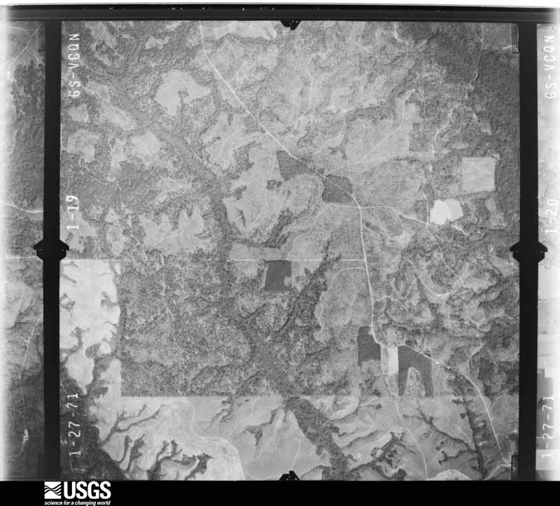
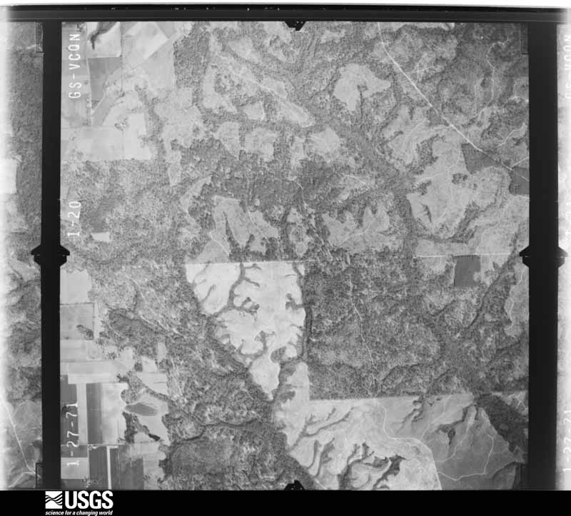
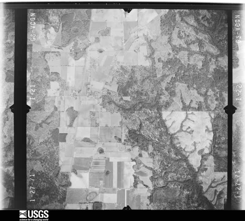
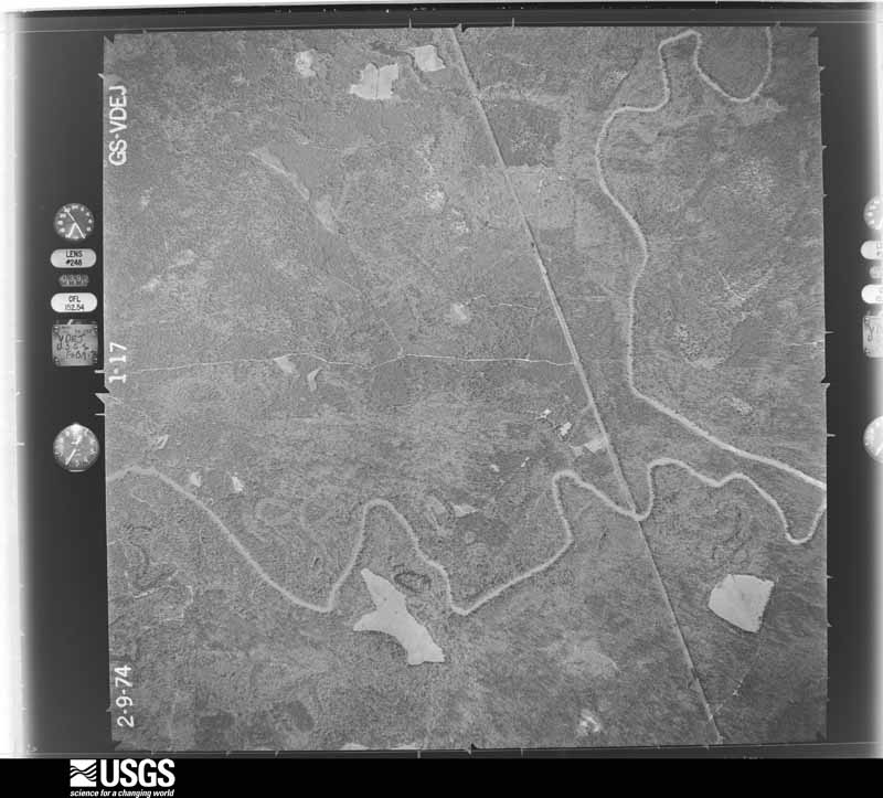
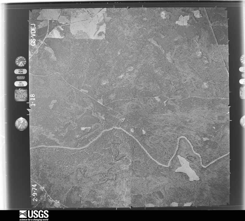
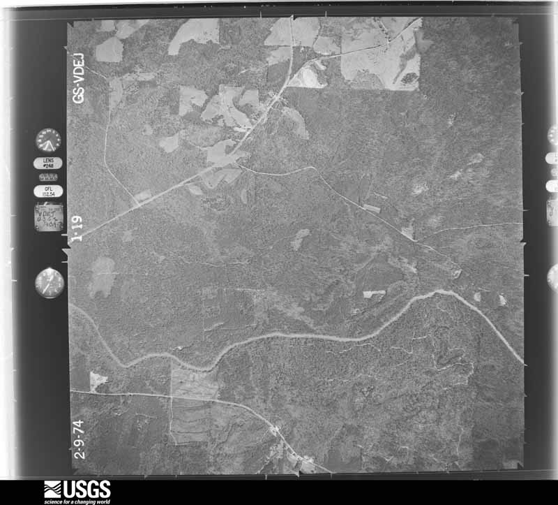
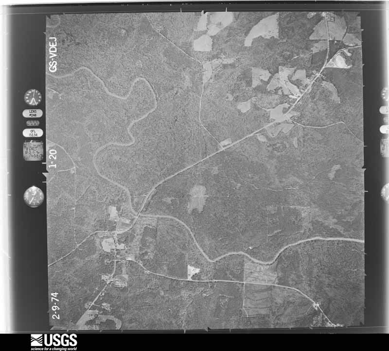
Flown by the U.S. Geological Survey between 1937 and 1989, the Aerial Photo Single Frames collection is the definitive mid-century view of the land: fields, roads and rivers as the camera saw them. The Survey holds 1,176 frames inside the rectangle that bounds this county; the 24 frames below were taken over the county itself, chosen across the decades of flights (at most four a year from that rectangle), so one flight cannot crowd out the rest. The full set is free to browse and download at EarthExplorer under the dataset Aerial Photo Single Frames.




The thermometers that kept this county's weather, and the gages that measured the flow of its streams, as the federal records hold them. The extremes below are measured values from those records, not estimates.
Who lived here in 1950, one enumeration district at a time, as the Census Bureau described each district. Each row opens its official National Archives result, with Population Schedules and ED Maps available there.
Every wildfire the federal occurrence database records inside this county: 1,495 of them, burning about 18,864 acres. 41 started naturally and 341 were recorded as arson. Each settlement page carries the fires within five miles of it.
| Reported cause | Fires |
|---|---|
| Debris and open burning | 534 |
| Arson/incendiarism | 341 |
| Missing data/not specified/undetermined | 323 |
| Equipment and vehicle use | 106 |
| Recreation and ceremony | 77 |
| Natural | 41 |
| Railroad operations and maintenance | 35 |
| Misuse of fire by a minor | 18 |
| Smoking | 11 |
| Power generation/transmission/distribution | 5 |
| Other causes | 3 |
| Fireworks | 1 |
The five largest, by the area the report gives. None of them was recorded as arson.
| Date | Cause | Size | Reported by | Name on the report |
|---|---|---|---|---|
| 20 March 2017 | Missing data/not specified/undetermined | 1,000 acres | Alabama Forestry Commission | 20170417-1 |
| 10 April 2011 | Fireworks | 438 acres | Alabama Forestry Commission | CO RD 46 OFF HWY 29S, AL |
| 18 August 2000 | Missing data/not specified/undetermined | 350 acres | Alabama Forestry Commission | not named |
| 23 September 2010 | Missing data/not specified/undetermined | 302 acres | Alabama Forestry Commission | not named |
| 9 March 2016 | Missing data/not specified/undetermined | 270 acres | Alabama Forestry Commission | 20160309-8 |
| 11 March 2004 | Debris and open burning | 262 acres | Alabama Forestry Commission | CONECUH |
| 17 March 2015 | Missing data/not specified/undetermined | 225 acres | Alabama Forestry Commission | SWR-20150317-006 |
| 16 March 2013 | Missing data/not specified/undetermined | 210 acres | Alabama Forestry Commission | SWR-20130316-015 |
Every settlement page carries the fires within five miles of it - see the settlement index below.
The NOAA Storm Events Database holds 206 reports for this county, causing 1 death, 5 injuries and about $6,003,750 in recorded property damage. Each settlement page carries the reports that name it.
| Kind of event | Reports |
|---|---|
| Thunderstorm Wind | 116 |
| Hail | 40 |
| Tornado | 34 |
| Flash Flood | 14 |
| Funnel Cloud | 1 |
| Lightning | 1 |
The most serious of them, by death, then injury, then recorded damage. The accounts are quoted exactly as the forecast office filed them.
| When | Event | Place named | Harm | What the report says |
|---|---|---|---|---|
| January 2006 | Tornado (F1) | Belleville | 1 killed, $500,000 | An F1 tornado touched down along County Road 15, just south of the town of Belleville. The tornado tracked north northeast crossing U. S. Highway 84 before dissipating just north of the highway. Most of the damage was along both sides of U. S. Highway 84. Three homes were destroyed, and fifteen other structures and eight vehicles were damaged. Numerous power lines and trees were blown town along the track of the tornado. The Belleville fire department station was destroyed. Only one cinder block wall was left standing at the station. One person was killed when a chimney in her home collapsed on top of her. She had just got into the brick home and was putting her purse down when the chimney fell on top of her. |
| September 1985 | Tornado (F2) | not stated | 4 hurt, $250,000 | no account filed |
| March 2001 | Thunderstorm Wind | Evergreen | 1 hurt, $1,300,000 | A very intense downburst along a line of severe thunderstorms produced extensive and widespread wind damage to trees, structures and some vehicles throughout the Evergreen area. A large wall of the building housing a local clothing store collapsed, temporarily trapping several people in the building, two of whom received minor injuries. A vehicle outside the building was crushed by the collapsed wall. In addition, the extremely strong winds damaged or destroyed at least 28 other buildings and homes . Several eyewitnesses said no "freight train" sound was heard. It just sounded like a "puff" of wind! |
| February 2016 | Tornado (EF2) | Brooklyn | $750,000 | This tornado was produced from the same parent supercell thunderstorm that produced the EF-3 tornado in Century, FL. The tornado in Conecuh County first touched down south of County Road 6 and quickly strengthened as it crossed the road. EF-2 intensity damage was observed at the Johnsonville Volunteer Fire Department which was completely destroyed. Significant tree damage was noted in the area and a well built home suffered extensive roof damage. The tornado continued to the northwest toward the Johnsonville Circle area where a few homes suffered roof damage. A single wide mobile home on Johnsonville Circle was destroyed. The mobile home was not anchored. Damage in this area was consistent with EF-1 intensity. The tornado lifted in the woods just to the northeast of the end of Clinton Drive. |
| April 2011 | Tornado (EF1) | Brooklyn | $615,000 | The tornado continued east from the Damascus area of eastern Escambia County, Alabama, snapping or uprooting numerous hardwood and softwood trees along a 150 yard wide path. Alabama Forestry Commission estimates timber losses to be near 615,000 dollars. |
| March 1998 | Flash Flood | Countywide | $300,000 | no account filed |
| April 2007 | Thunderstorm Wind | Castleberry | $250,000 | A large bow shaped thunderstorm complex began near Interstate 65 just west of Castelberry. The complex moved east northeast blowing down several trees. Most of the damage occurred near Hwy 31 where the bow shaped complex broad sided several structures. Two homes and one barn were damaged here. This is also where the weak tornado occurred. The system continued tracking east northeast blowing down numerous trees along its path. The bow shaped complex weakened near Nymph. |
| September 1985 | Tornado (F2) | not stated | $250,000 | no account filed |
| October 1984 | Tornado (F2) | not stated | $250,000 | no account filed |
| June 1957 | Tornado (F2) | not stated | $250,000 | no account filed |
| June 1957 | Tornado (F2) | not stated | $250,000 | no account filed |
| April 2007 | Tornado (EF1) | Castleberry | $150,000 | A weak tornado developed along the leading edge of a large bow echo just northwest of Castleberry. The tornado blew down trees and damaged a residence just west of County Road 23. Estimated wind speeds were 85 to 90 mph. No injuries occurred. |
| May 2014 | Flash Flood | Brooks | $100,000 | Heavy rain caused a bridge to be washed out on Calloway Road. At least 4 other county roads in eastern Conecuh county were closed due to flooding. |
| February 2022 | Flash Flood | China | $50,000 | Bookers Mill Road was washed out from flash flooding. Numerous dirt roads were also washed out. |
| June 1998 | Thunderstorm Wind | Countywide | $50,000 | A line of severe thunderstorms moved through the county between 1140 pm and 1230 am. Trees and power lines were blown down throughout the county. The most damage was in the west part of the county. No injuries were reported. |
| January 2016 | Thunderstorm Wind | Lenox | $30,000 | Winds estimated at 70 mph downed trees and power lines. A large tree fell on a house and a carport was destroyed. |
| May 2008 | Tornado (EF0) | Paul | $25,000 | A weak tornado first touched down just west of Paul. The tornado moved northeast and passed just east of Cohassett. The tornado moved across U. S. Highway 84 at the Conecuh and Covington county line. This is a rural area and the only damage the tornado caused was to trees. Some of the trees landed across the rural roads and had to be moved before anyone could drive on the roads. |
| May 2003 | Thunderstorm Wind | Evergreen | $25,000 | High winds from a thunderstorm blew down several trees near Evergreen. A home had minor roof damage when one of the trees fell on it. No one was injured. |
| November 1979 | Tornado (F1) | not stated | $25,000 | no account filed |
| June 1957 | Tornado (F2) | not stated | $25,000 | no account filed |
| January 2017 | Thunderstorm Wind | China | $20,000 | A barn was destroyed along with shingle damage to a home near the intersection of Highway 83 and County Road 22. Severe trees were also blown down. |
| April 2017 | Thunderstorm Wind | Evergreen | $15,000 | Winds estimated at 70 mph caused the roof of a covered porch to collapse and numerous tress were blown over and snapped in the area. |
| January 2006 | Thunderstorm Wind | Lenox | $15,000 | High winds from a line of showers blew down several trees and damaged some lightweight structures near Lenox. At least one manufactured home had awnings torn away by the winds. |
| October 2001 | Thunderstorm Wind | Evergreen | $15,000 | High winds from a thunderstorm blew down several trees and power lines in and around Evergreen. |
| November 2001 | Tornado (F0) | Evergreen | $15,000 | A weak tornado downed trees and power lines around the community. |
| March 1999 | Thunderstorm Wind | Paul | $15,000 | Several trees were blown down in the community by straight line winds. |
| March 2001 | Flash Flood | Countywide | $15,000 | no account filed |
| January 1997 | Thunderstorm Wind | Owassa | $15,000 | no account filed |
| February 2008 | Thunderstorm Wind | Range | $12,000 | no account filed |
| April 2017 | Thunderstorm Wind | Lenox | $10,000 | Winds estimated at 60 mph downed trees on a barn and a home. |
| January 2016 | Thunderstorm Wind | Repton | $10,000 | Winds estimated at 70 mph destroyed a barn and snapped limbs off several trees. A screened porch was blown in. |
| March 2016 | Thunderstorm Wind | Castleberry | $10,000 | Straight lines winds of 75 to 90 mph produced an almost 7 mile swath of tree damage south of the town of Castleberry. Numerous hardwood trees were uprooted or snapped. |
| June 2016 | Thunderstorm Wind | Lenox | $10,000 | Severe thunderstorm wind gusts downed several trees with one tree falling onto a home. |
| June 2007 | Thunderstorm Wind | Evergreen | $10,000 | High winds from a thunderstorm blew down trees and produced small hail in Evergreen. |
| February 2006 | Tornado (F0) | Evergreen | $10,000 | A weak tornado briefly touched down just inside the Conecuh county line, just east of Pine Orchard. The tornado blew down several trees and power lines. |
| October 2004 | Tornado (F0) | Owassa | $10,000 | A weak tornado blew down several trees near Owassa and I-65. The weak tornado stayed on the ground for about a half mile before going back into the clouds. |
| August 2002 | Thunderstorm Wind | Repton | $10,000 | High winds from a cluster of thunderstorms sporadically blew down trees along U. S. Highway 84 between Repton and Evergreen. Heavy rain also accompanied the thunderstorms, with temporary street flooding along U. S. Highway 84. WSR-88D radar rainfall estimates were between five and seven inches across the area. |
| October 2001 | Thunderstorm Wind | Repton | $10,000 | Trees were blown down as a line of thunderstorms passed through the community. |
| November 2001 | Thunderstorm Wind | Repton | $10,000 | Trees were blown down along Highways 84 and 7, just to the east of Repton. |
| November 2001 | Thunderstorm Wind | Belleville | $10,000 | High thunderstorm winds blew trees down along Highway 84 near Belleville. |
| March 2000 | Thunderstorm Wind | Lenox | $10,000 | High thunderstorm winds blew down trees and power lines in, and around, the community. |
| July 2000 | Thunderstorm Wind | Castleberry | $10,000 | A restaurant, near the intersection of Highway 31 and County Road 6, was damaged by fallen trees as thunderstorms moved through the area. |
| May 1998 | Hail | Owassa | $10,000 | Baseball size hail was reported near Owassa. Some damage to vehicles was reported. |
| April 1998 | Hail | Repton | $10,000 | Baseball size hail fell along U S Highway 84 from the Monroe and Conecuh county line to just east of Repton. Vehicles in this area had damage to windshields and pings in their exterior. Many homes suffered roof damage and windows that were facing west were broken out. The storm that produced this large hail event had earlier produced large hail in parts of Monroe county. |
| October 1995 | Tornado (F0) | Evergreen | $10,000 | A tornado briefly touched down near Evergreen. Trees and power lines were blown down. |
| January 2008 | Thunderstorm Wind | Evergreen | $10,000 | no account filed |
| January 2017 | Thunderstorm Wind | Bowles | $8,000 | A sheet metal shed was blown down and a fence was blown down in Lyeffion, AL on Highway 83. Several tress were also uprooted. |
| July 2004 | Thunderstorm Wind | Belleville | $8,000 | High winds from a thunderstorm blew down several trees near Belleville. |
| June 2004 | Thunderstorm Wind | Paul | $8,000 | High winds from a thunderstorm blew down several trees between Paul and Brooklyn. |
| February 2003 | Tornado (F0) | Lenox | $8,000 | A weak tornado briefly touched down east of Lenox. The tornado blew down several trees. |
| June 2002 | Thunderstorm Wind | Castleberry | $8,000 | Trees were blown down by high winds from a thunderstorm near Nymph. |
| July 2002 | Thunderstorm Wind | Evergreen | $8,000 | Several trees were blown down by high winds from a thunderstorm. |
| July 2002 | Thunderstorm Wind | Evergreen | $8,000 | Trees were blown down by high winds from a thunderstorm near Evergreen. |
| July 2002 | Thunderstorm Wind | Castleberry | $8,000 | High winds from a thunderstorm blew down several trees south of Castleberry. |
| November 2002 | Tornado (F0) | Lenox | $8,000 | A weak tornado briefly touched down near the community, blowing down or uprooting several trees. |
| April 2002 | Thunderstorm Wind | Castleberry | $7,000 | Trees were blown down near Castleberry as thunderstorms moved through the area. |
| June 2018 | Thunderstorm Wind | Evergreen | $5,000 | Winds estimated at 70 mph downed numerous trees across the county. One residence was also damaged by lightning. |
| April 2017 | Thunderstorm Wind | Evergreen | $5,000 | Winds estimated at 60 mph downed multiple trees along CR 6 near CR28 and Appleton Road. |
| April 2017 | Thunderstorm Wind | Evergreen | $5,000 | Winds estimated at 70 mph downed multiple trees on CR6 near Johnsonville. |
| July 2015 | Thunderstorm Wind | Evergreen | $5,000 | Winds estimated at 60 mph downed several trees along Interstate 65 just south of Evergreen. |
The Survey's mineral resources record lists 43 workings inside this county. 9 still produce and 34 are closed or unrecorded. Each settlement page carries the workings within five miles of it.
| Commodity | Workings |
|---|---|
| Iron | 28 |
| Sand and Gravel, Construction | 13 |
| Clay | 2 |
The least common of them first, because a county's hundredth gravel pit says nothing its first ten did not.
| Where | Site | Commodity | Status | Recorded |
|---|---|---|---|---|
| Con 2 Clay Prospect | Clay | Prospect | ||
| Con 5 Clay Prospect | Clay | Prospect | ||
| Conecuh Pit | Sand and Gravel, Construction | Producer | ||
| Ivey Pit | Sand and Gravel, Construction | Producer | ||
| Kendrick Quarry | Sand and Gravel, Construction | Producer | Quartz | |
| Lanier Sand and Gravel Co. Pit | Sand and Gravel, Construction | Past Producer | ||
| Lenox Pit | Sand and Gravel, Construction | Past Producer | ||
| Lenox Pit | Sand and Gravel, Construction | Producer | ||
| Monroe Concrete Pit | Sand and Gravel, Construction | Past Producer | ||
| Repton Pit | Sand and Gravel, Construction | Producer | ||
| Skinner Pit | Sand and Gravel, Construction | Past Producer | ||
| St. Regis Pit | Sand and Gravel, Construction | Producer | ||
| Unnamed Quarry | Sand and Gravel, Construction | Producer | Unconsolidated Sediments | |
| Unnamed Quarry | Sand and Gravel, Construction | Producer | Quartz | |
| Unnamed Quarry | Sand and Gravel, Construction | Producer | Quartz | |
| Unnamed | Iron | Unknown | ||
| Unnamed | Iron | Unknown | ||
| Unnamed | Iron | Unknown | ||
| Unnamed | Iron | Unknown | ||
| Unnamed | Iron | Unknown | ||
| Unnamed | Iron | Unknown | ||
| Unnamed | Iron | Unknown | ||
| Unnamed | Iron | Unknown | ||
| Unnamed | Iron | Unknown | ||
| Unnamed | Iron | Unknown | ||
| Unnamed | Iron | Unknown | ||
| Unnamed | Iron | Unknown | ||
| Unnamed | Iron | Unknown | ||
| Unnamed | Iron | Unknown | ||
| Unnamed | Iron | Unknown | ||
| Unnamed | Iron | Unknown | ||
| Unnamed | Iron | Unknown | ||
| Unnamed | Iron | Unknown | ||
| Unnamed | Iron | Unknown | ||
| Unnamed | Iron | Unknown | ||
| Unnamed | Iron | Unknown | ||
| Unnamed | Iron | Unknown | ||
| Unnamed | Iron | Unknown | ||
| Unnamed | Iron | Unknown | ||
| Unnamed | Iron | Unknown | ||
| Unnamed | Iron | Unknown | ||
| Unnamed | Iron | Unknown | ||
| Unnamed | Iron | Unknown |
The part of each published history that is about one town: 1 chapter, each reproduced complete.
| Town | Chapter | From | Length |
|---|---|---|---|
| Evergreen | History | History of Conecuh County, Alabama. Embracing a Detailed Record of Events from the Earliest Period to the Present; Biographical Sketches of Those Who Have Been Most Conspicuous in the Annals of the County; a Complete List of the Officials of Conecuh, Besides Much Valuable Information Relative to the Internal Resources of the County (1881) | 509 words |
One book written about this county, cut here where the book itself is cut, at its printed chapters: 1 chapter in all. Every chapter is public domain, machine-read from the scan and reproduced complete. A chapter already given under one of the county's towns is not repeated in this list.
| Chapter | Length |
|---|---|
| Chapter 26 | 46,661 words in 3 parts |
Named settlements recorded in the Geographic Names Information System, each with the topographic sheets covering it. Villages, hamlets and abandoned places alike. Each is shown with the nearest named watercourse or landform and the survey quadrangle it falls on. The 1 place that was also surveyed for fire insurance comes first, with the number of atlases and photographs held for them.
Evergreen census division · 36401 · Evergreen quadrangle
7 sheets, 1953 to 1986
Fire insurance: 7 atlases
Lyeffion census division · 36401 · On Little Brushy Creek · China quadrangle
8 sheets, 1953 to 1986
Evergreen census division · 36401 · On Bottle Creek · Brooklyn quadrangle
7 sheets, 1953 to 1986
Castleberry census division · 36432 · On Panther Creek · Castleberry quadrangle
7 sheets, 1953 to 1986
Lyeffion census division · 36401 · On Little Brushy Creek · China quadrangle
8 sheets, 1953 to 1986
Lyeffion census division · 36401 · On Spring Creek · China quadrangle
8 sheets, 1953 to 1986
Castleberry census division · 36401 · On Cane Creek · Belleville quadrangle
7 sheets, 1953 to 1986
Castleberry census division · 36432 · On Brushy Creek · Range quadrangle
7 sheets, 1953 to 1986
Castleberry census division · 36432 · On Geden Branch · Castleberry quadrangle
7 sheets, 1953 to 1986
Castleberry census division · 36401 · On Autrey Creek · Nymph quadrangle
7 sheets, 1953 to 1986
Evergreen census division · 36401 · On Tomley Creek · Evergreen quadrangle
7 sheets, 1953 to 1986
Evergreen census division · 36421 · On Simmons Creek · Loango quadrangle
8 sheets, 1953 to 1986
Evergreen census division · 36401 · On Old Town Creek · Old Town quadrangle
7 sheets, 1953 to 1986
7 topographic sheets and 7 fire insurance atlases, 1884 to 1938
The complete index, with nothing left out. Each of these is a separate record with its own page: a federal survey report, or the case file that argued a property on to the National Register. Both are public domain and reproduced word for word.