 Block
From the record
2 National Register listings published here.
Sources: the National Register database, National Park Service
72 topographic sheets and 6 fire insurance atlases across 1 place.
2 National Register listings published here.
Sources: the National Register database, National Park Service
Every property in this county listed on the National Register of Historic Places, with the year it was listed and the federal nomination document.
| Photograph | Property | Type | Listed | Reference |
|---|---|---|---|---|
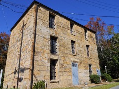 | Coosa County Jail | building | 1974 | 74000407 |
| State Park No. 4-Weogufka State Park | district | 2024 | 100010427 |
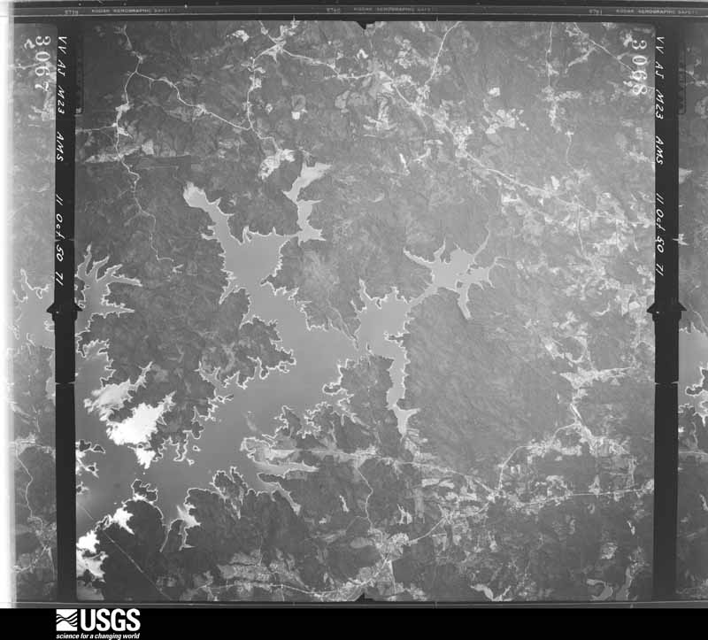
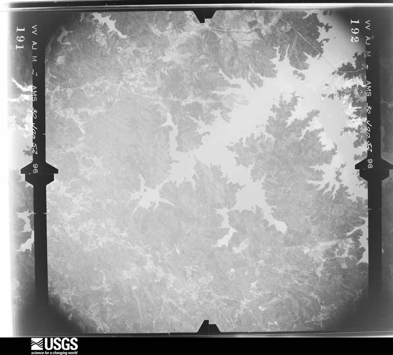
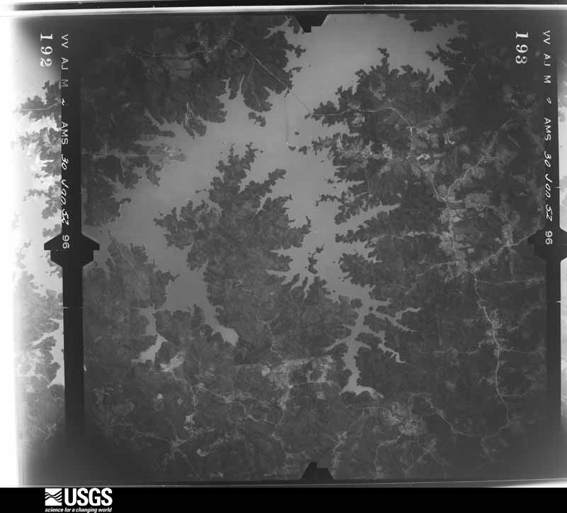
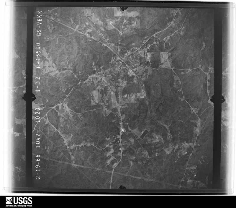
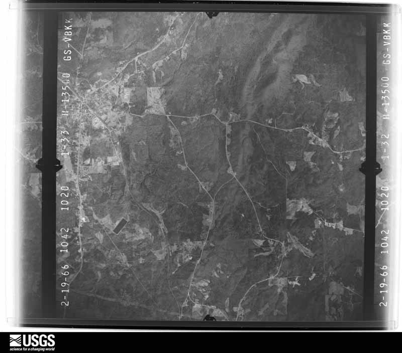
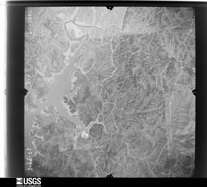
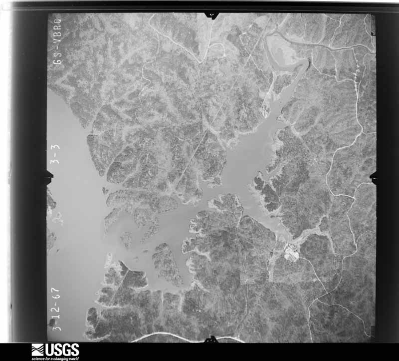
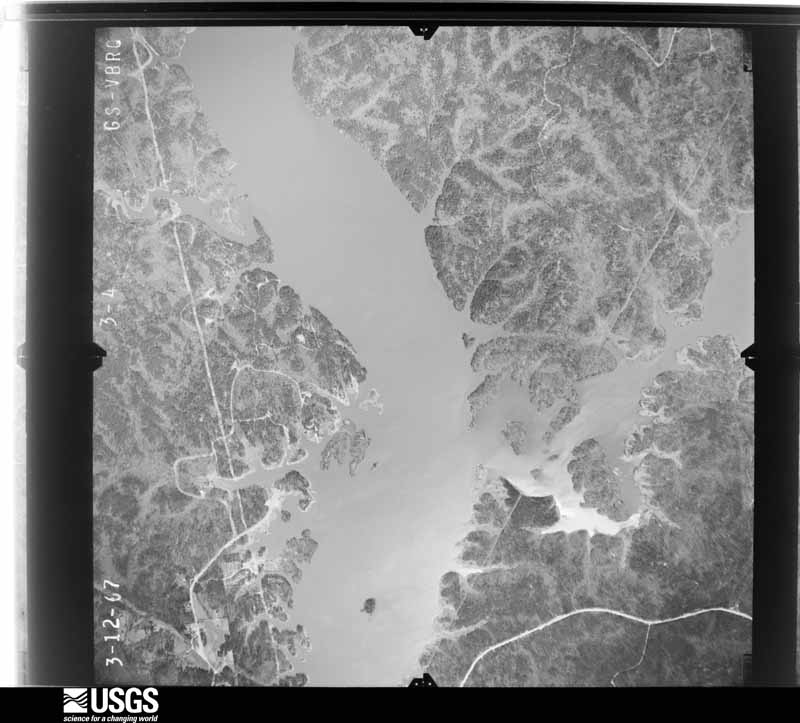
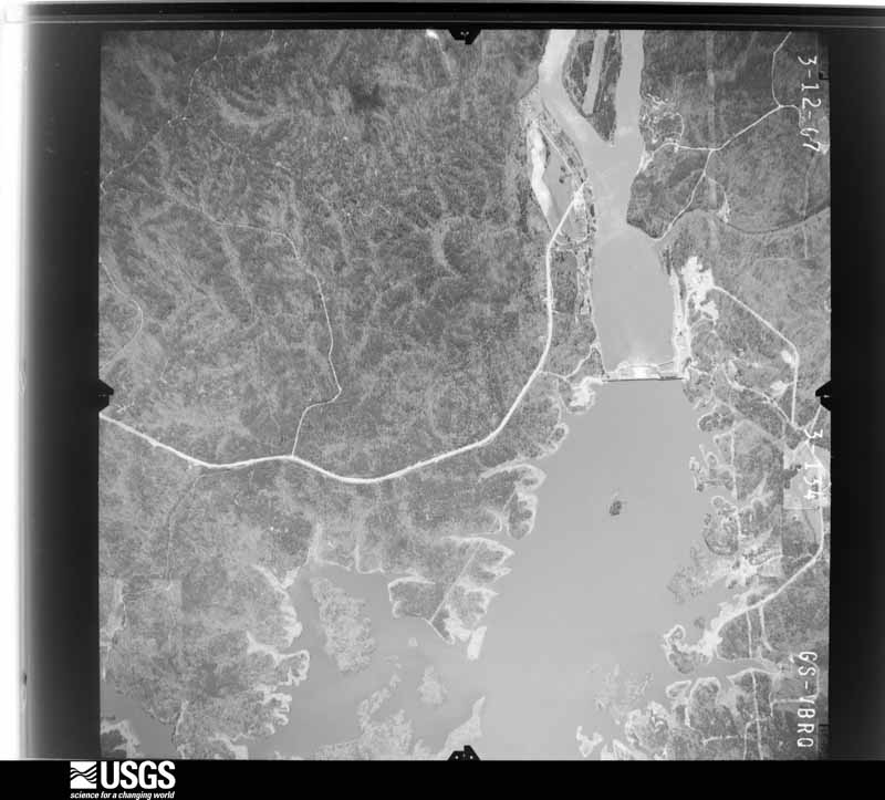
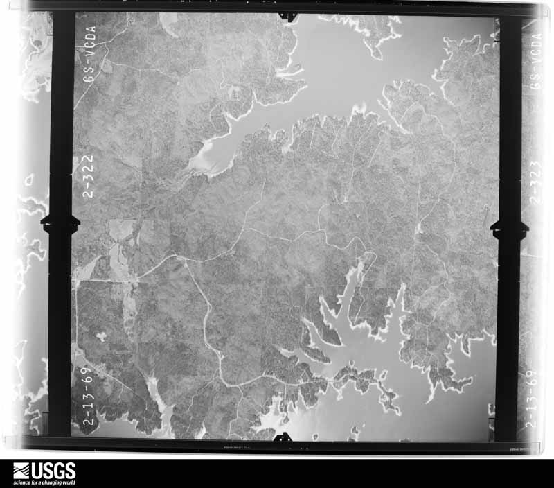
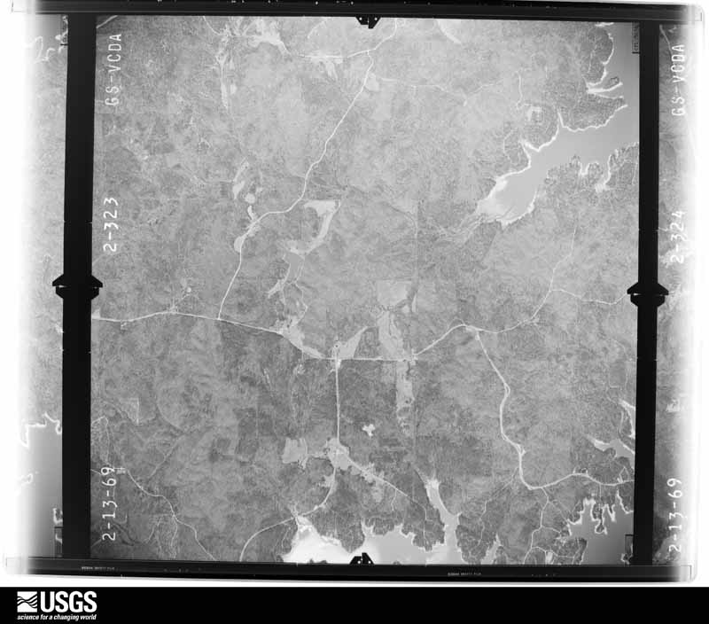
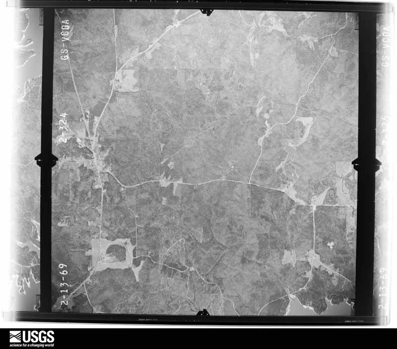
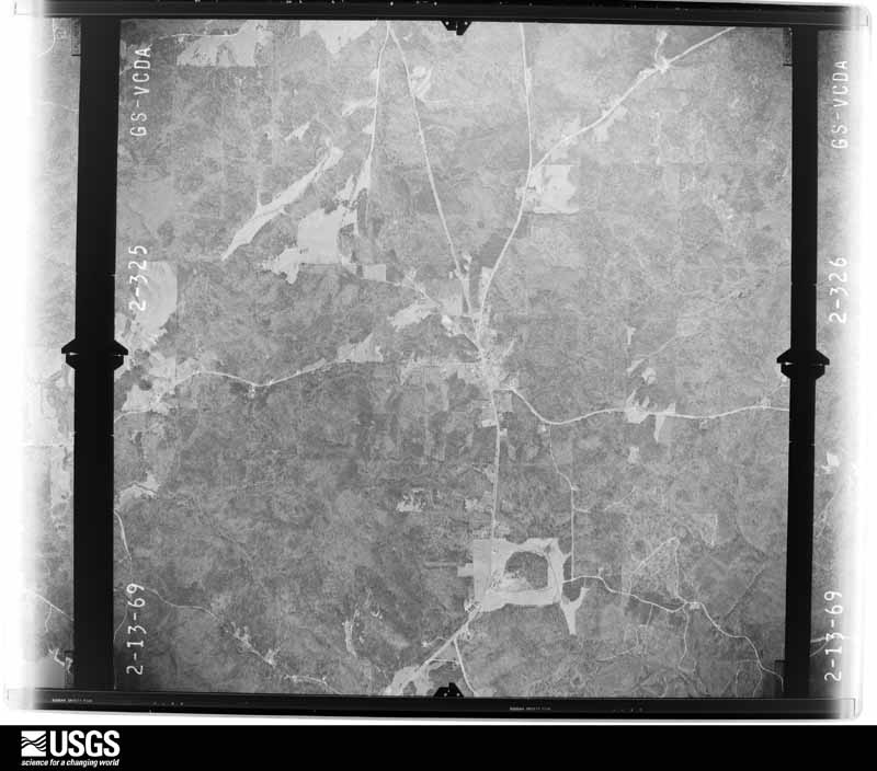
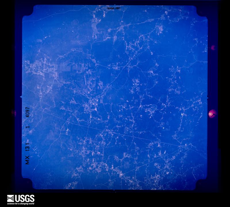
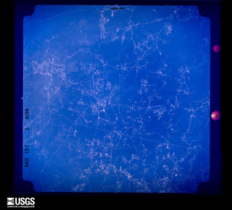
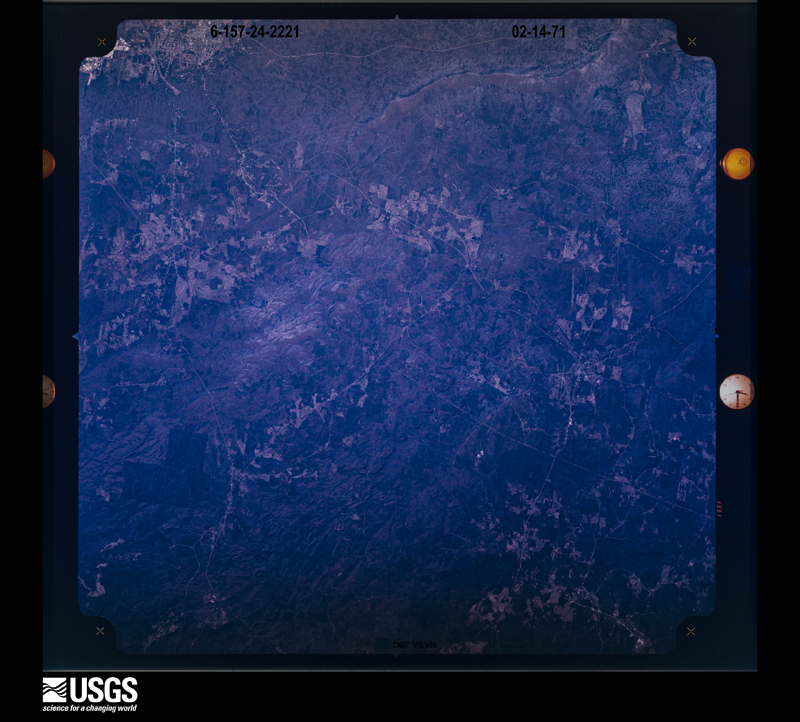
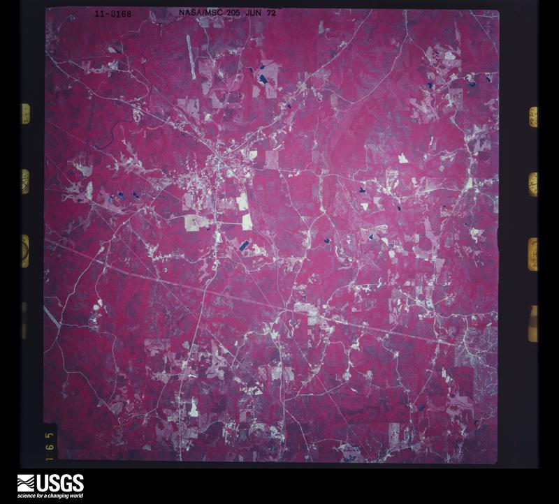
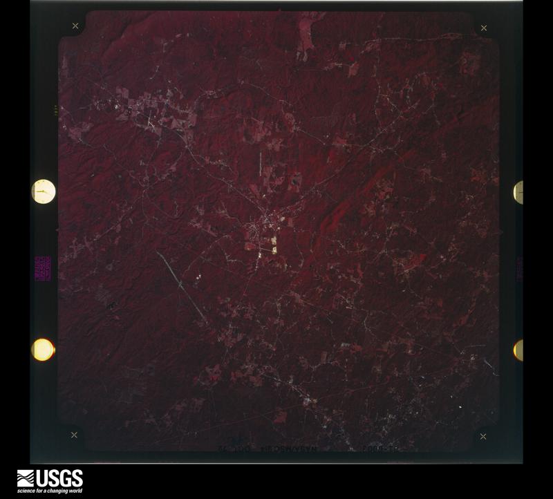
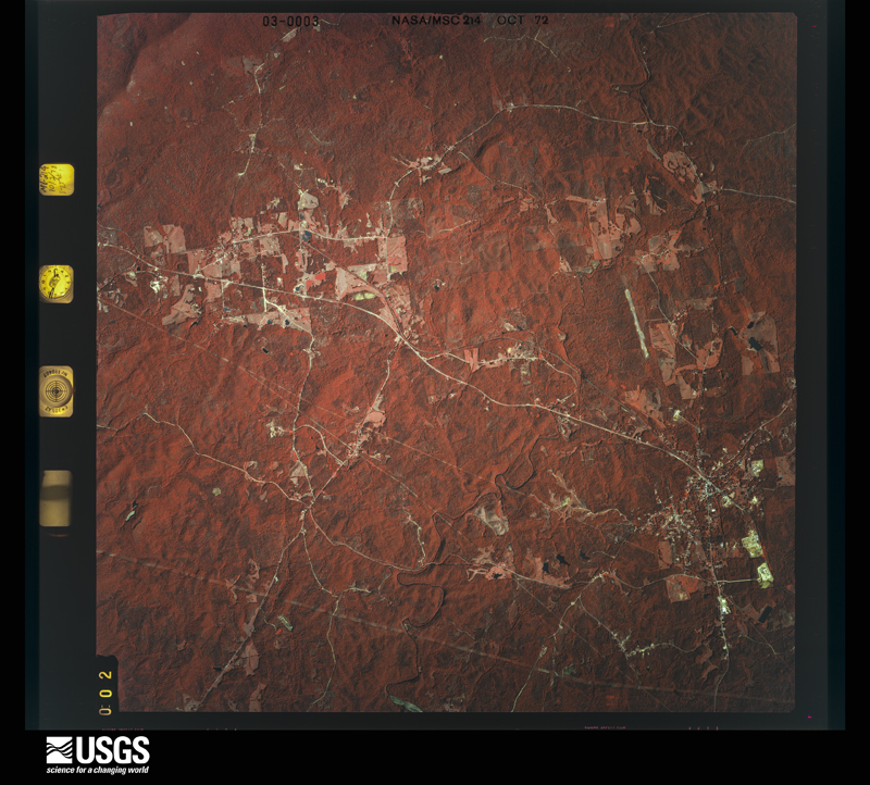
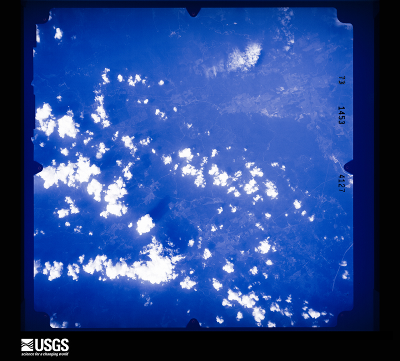
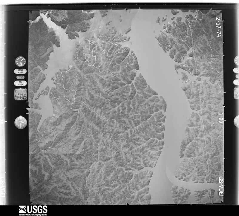
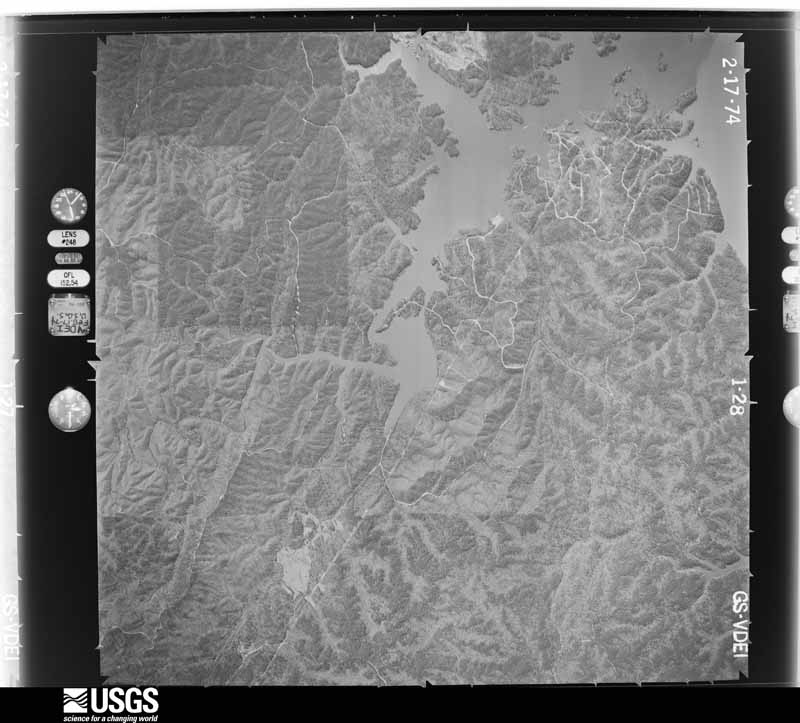
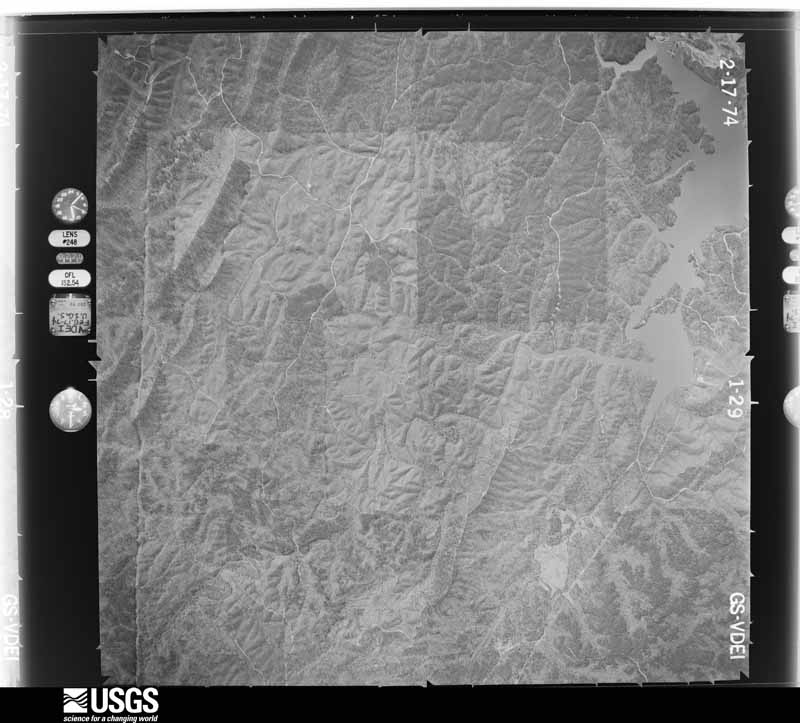
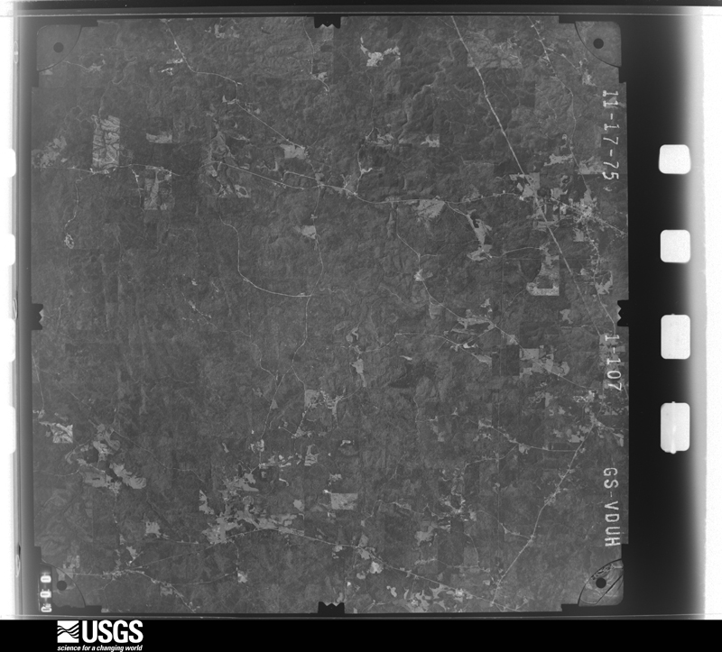
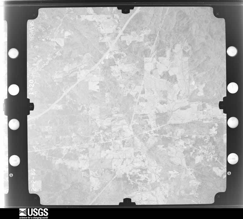
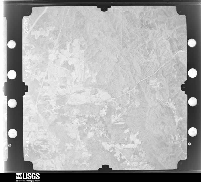
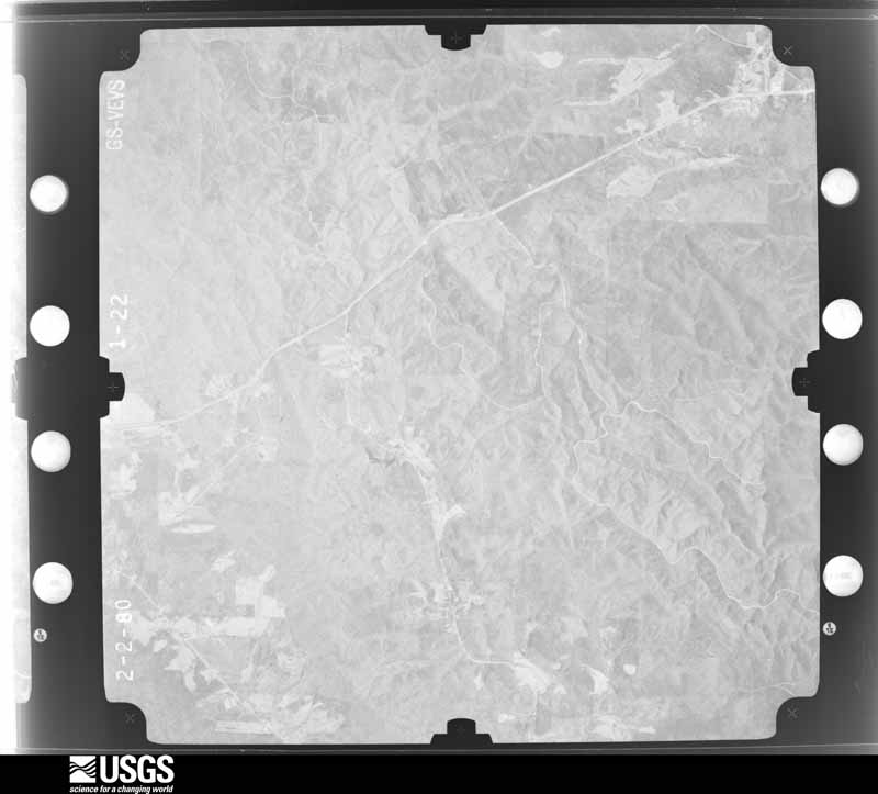
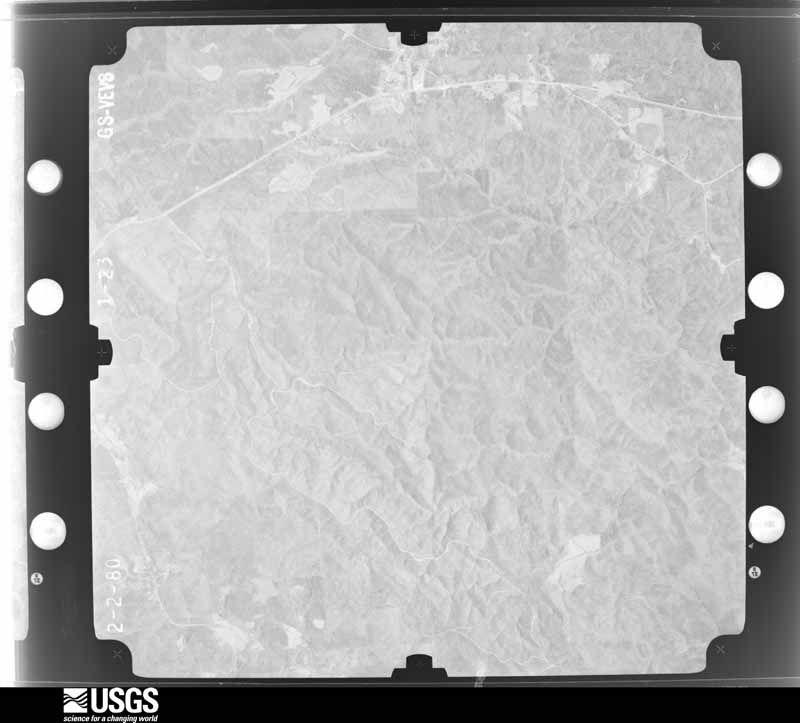
Flown by the U.S. Geological Survey between 1937 and 1989, the Aerial Photo Single Frames collection is the definitive mid-century view of the land: fields, roads and rivers as the camera saw them. The Survey holds 698 frames inside the rectangle that bounds this county; the 45 frames below were taken over the county itself, chosen across the decades of flights (at most four a year from that rectangle), so one flight cannot crowd out the rest. The full set is free to browse and download at EarthExplorer under the dataset Aerial Photo Single Frames.
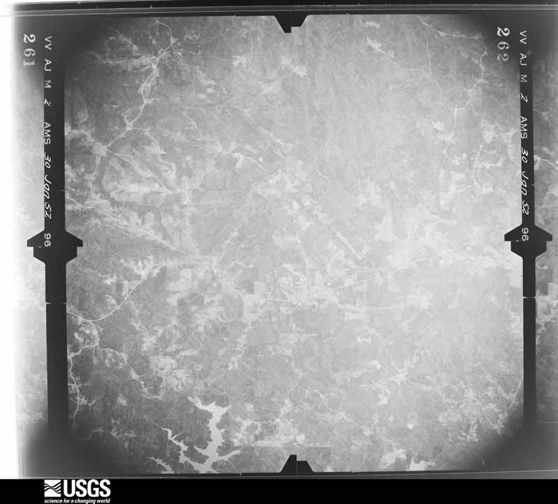
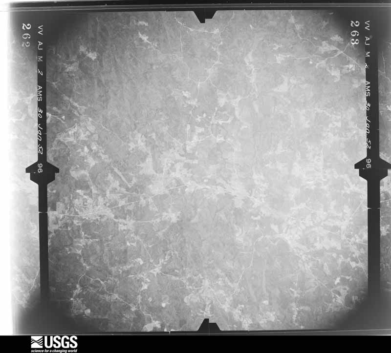
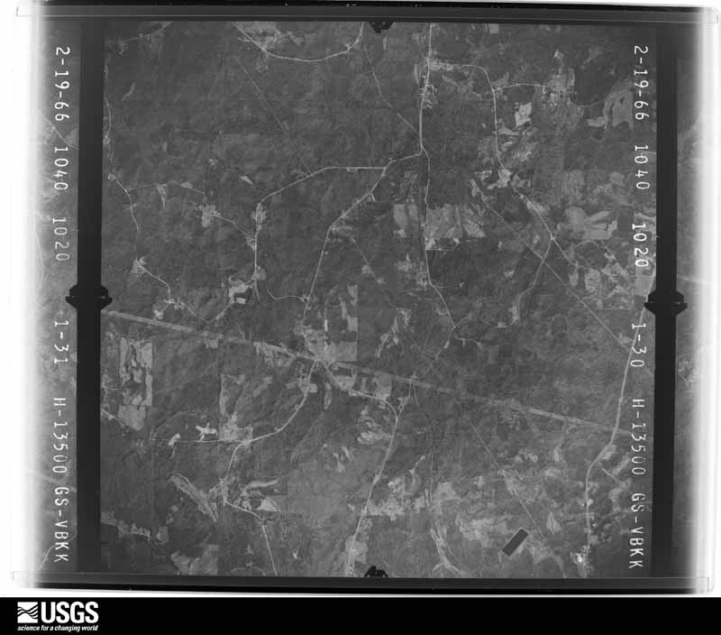
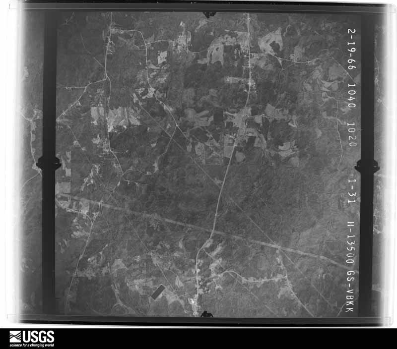

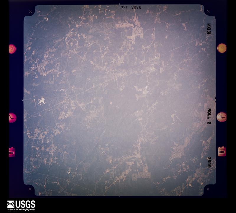
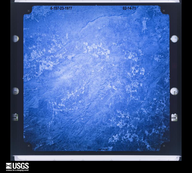
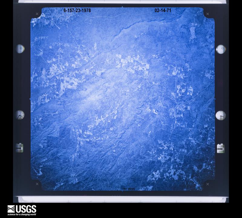
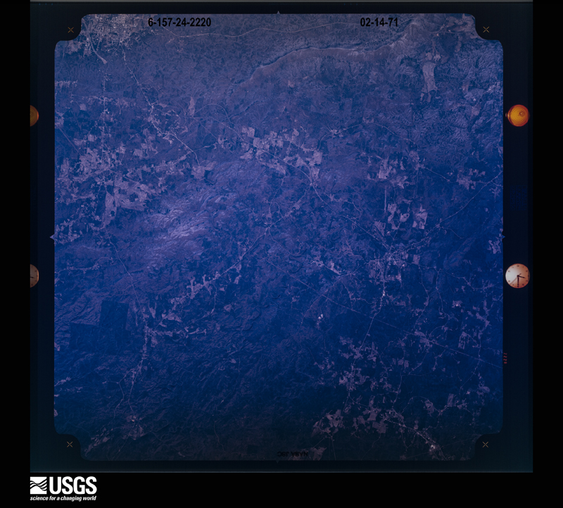




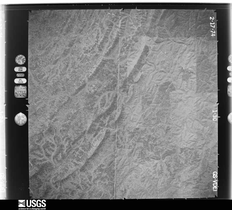
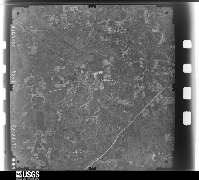
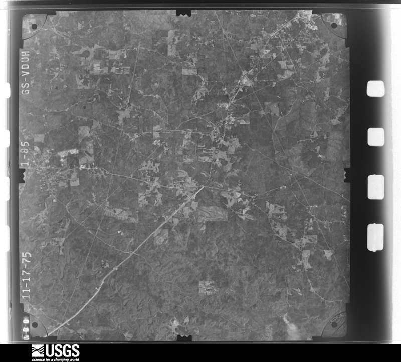
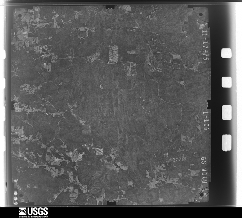
The thermometers that kept this county's weather, and the gages that measured the flow of its streams, as the federal records hold them. The extremes below are measured values from those records, not estimates.
Who lived here in 1950, one enumeration district at a time, as the Census Bureau described each district. Each row opens its official National Archives result, with Population Schedules and ED Maps available there.
Every wildfire the federal occurrence database records inside this county: 826 of them, burning about 12,098 acres. 42 started naturally and 231 were recorded as arson. Each settlement page carries the fires within five miles of it.
| Reported cause | Fires |
|---|---|
| Debris and open burning | 326 |
| Arson/incendiarism | 231 |
| Missing data/not specified/undetermined | 114 |
| Recreation and ceremony | 46 |
| Equipment and vehicle use | 42 |
| Natural | 42 |
| Smoking | 12 |
| Misuse of fire by a minor | 4 |
| Railroad operations and maintenance | 4 |
| Other causes | 3 |
| Power generation/transmission/distribution | 2 |
The five largest, by the area the report gives. Two of them were set deliberately.
| Date | Cause | Size | Reported by | Name on the report |
|---|---|---|---|---|
| 23 October 2016 | Equipment and vehicle use | 502 acres | Alabama Forestry Commission | 20161023-12 |
| 11 May 1996 | Natural | 448 acres | Alabama Forestry Commission | not named |
| 23 April 2001 | Arson/incendiarism | 336 acres | Alabama Forestry Commission | not named |
| 30 August 2000 | Natural | 290 acres | Alabama Forestry Commission | not named |
| 24 June 2006 | Natural | 226 acres | Alabama Forestry Commission | FLAGG MTN |
| 17 February 2009 | Arson/incendiarism | 218 acres | Alabama Forestry Commission | MT OLIVE |
| 12 May 2007 | Natural | 200 acres | Alabama Forestry Commission | HANCOCK |
| 16 March 1994 | Debris and open burning | 200 acres | Alabama Forestry Commission | not named |
Every settlement page carries the fires within five miles of it - see the settlement index below.
The NOAA Storm Events Database holds 172 reports for this county, causing no deaths, 12 injuries and about $4,673,100 in recorded property damage. Each settlement page carries the reports that name it.
| Kind of event | Reports |
|---|---|
| Thunderstorm Wind | 77 |
| Hail | 61 |
| Tornado | 28 |
| Flash Flood | 4 |
| Heavy Rain | 1 |
| Lightning | 1 |
The most serious of them, by death, then injury, then recorded damage. The accounts are quoted exactly as the forecast office filed them.
| When | Event | Place named | Harm | What the report says |
|---|---|---|---|---|
| February 1990 | Thunderstorm Wind | not stated | 4 hurt | no account filed |
| June 1998 | Thunderstorm Wind | Rockford | 3 hurt, $40,000 | Trees and power lines were down in the Richland community. Three people received minor injuries when a tree fell on their car as they were driving along SR 22. |
| November 1996 | Tornado (F1) | Stewartsville | 2 hurt, $650,000 | no account filed |
| April 2011 | Tornado (EF2) | Equality | 2 hurt, $14,100 | A tornado touched down 6.4 miles west of Central, along County Road 334 in Elmore County. The tornado moved to the northeast and crossed the Coosa County line. The tornado then crossed State Highway 9 and continued moving east, eventually crossing into Tallapoosa County. The tornado lifted on the east side of northern Lake Martin. In Coosa County, numerous trees were snapped or uprooted. One home suffered significant damage and several outbuildings sustained roof damage. |
| August 2013 | Lightning | Goodwater | 1 hurt | A person was injured when struck by lightning. |
| November 1968 | Tornado (F3) | not stated | $2,500,000 | no account filed |
| March 1994 | Thunderstorm Wind | not stated | $500,000 | A house fire in the Rockford area was attributed to lightning. |
| January 1982 | Tornado (F2) | not stated | $250,000 | no account filed |
| February 2008 | Tornado (EF2) | Marble Vly | $115,000 | The tornado touched down in the Hidden Valley community along Lay Lake, about 2 miles northeast of Lay Dam. It then tracked northeastward, before producing its most significant damage just east of Marble Valley along County Road 56. Four large wooden power poles were snapped off. Two mobile homes were knocked off their foundations and rolled over. Hundreds of hardwood and softwood trees were either snapped off or uprooted along the path. The tornado then continued northeastward, eventually crossing into Talladega County. |
| February 2008 | Tornado (EF1) | Socapatoy | $100,000 | The tornado touched down along US Highway 280 near the Bradford Community. The tornado moved northeastward and crossed AL-9, before crossing into Tallapoosa County east of Goodwater. The most significant damage occurred in Coosa County, near the intersection of CR-77 and AL-9. At least 6 homes suffered varying degrees of damage, and at least three automobiles were heavily damaged by fallen trees. |
| November 2004 | Tornado (F2) | Rockford | $100,000 | no account filed |
| March 2011 | Flash Flood | Weogufka | $75,000 | County Road 56 and County Road 16 were flooded on Weogufka Creek. |
| December 2011 | Tornado (EF1) | Wetona | $65,000 | A tornado initially touched down along Grey Ferry Road in Elmore County, where it caused tree damage. It then crossed into Coosa County, approximately one quarter of a mile east of County Road 31. The tornado continued on an northeastward path snapping and uprooting hundreds of trees. The most extensive damage occurred on County Road 89 near Highway 280, where a large metal building was destroyed. The tornado moved into Tallapoosa County and lifted along Hix Road. |
| January 1998 | Flash Flood | Countywide | $25,000 | no account filed |
| April 1978 | Tornado (F2) | not stated | $25,000 | no account filed |
| December 1961 | Tornado (F2) | not stated | $25,000 | no account filed |
| April 2011 | Thunderstorm Wind | Stewartsville | $20,000 | A mobile home suffered major roof damage. The top of a tree fell on a boat and destroyed it. |
| April 2009 | Hail | Nixburg | $20,000 | Hail up to the size of golf balls fell in the Nixburg community. A few vehicles suffered significant hail damage, and a few homes suffered roof damage from the hail. |
| November 2005 | Tornado (F1) | Equality | $16,000 | National Weather Service meteorologists surveyed the damage that affected areas west of Equality. It has been determined that the damage was the result of a tornado. The tornado has been rated an F1 on the Fujita Damage Intensity Scale. The tornado touched down near Weoka Creek in far southern Coosa County, just east of County Road 67. The tornado tracked northeastward and ended after it crossed Self Road, just west of County Road 2. This location is approximately 2.5 miles west of Equality. The tornado damage was rather short, only 0.4 miles long. The tornado was 150 yards wide at its widest point. One home sustained roof damage and a pool shed was destroyed. Several pine trees were snapped off along the path.Begin: 32.7558/86.1649 End: 32.7583/86.1394 |
| June 2011 | Thunderstorm Wind | Stewartsville | $10,000 | A large tree fell onto an 18-wheeler on AL-21, near the Stewartville community. |
| February 2000 | Thunderstorm Wind | Kellyton | $10,000 | Several trees were blown down near the intersection of CR 50 and Church Street. |
| March 1996 | Hail | Goodwater | $10,000 | no account filed |
| April 2003 | Thunderstorm Wind | Rockford | $8,000 | Several trees were blown down across southwestern Coosa County. This damage was produced by the forward flank downdraft associated with the supercell. |
| February 1999 | Thunderstorm Wind | Countywide | $8,000 | Several trees were downed throughout the entire county. |
| May 1997 | Thunderstorm Wind | Rockford | $8,000 | There were widespread power outages across the county due to downed power lines. |
| January 1997 | Thunderstorm Wind | Rockford | $7,000 | no account filed |
| July 2009 | Thunderstorm Wind | Hissop | $5,000 | Large trees were blown down and blocked CR-40. A power line was snapped in half, and a high voltage transformer was on the ground. |
| September 2009 | Flash Flood | Kellyton | $5,000 | Several county roads around Coosa County had to be closed due to water over them, including CR-119, CR-16, CR-112, and CR-37. |
| April 2000 | Tornado (F0) | Marble Vly | $5,000 | A tornado touched down southeast of Marble Valley in an unpopulated area downing trees. The tornado began on the west side of CR 56 and crossed the road leaving it blocked by downed trees. Tornado length is a wild guess since access to the beginning and ending points was impossible and no aerial survey was available. Beginning: 33 01.246/86 24.812 Ending: 33 01.687/86 24.034 |
| May 1999 | Hail | Rockford | $5,000 | Dime to golfball size hail fell in south central Coosa County all around the city of Rockford. |
| October 2007 | Thunderstorm Wind | Kellyton | $4,000 | Several large trees were blown down in Kellyton. |
| May 2004 | Thunderstorm Wind | Kellyton | $4,000 | A few trees were blown down along CR 85 near the train tracks. The tracks were temporarily blocked by the fallen trees. |
| May 2003 | Thunderstorm Wind | Rockford | $4,000 | no account filed |
| May 2011 | Thunderstorm Wind | Cottage Grove | $3,000 | Several trees were uprooted and snapped off, west of Alexander City. |
| May 2003 | Hail | Stewartsville | $3,000 | Half dollar size hail fell in Stewartsville. |
| July 2000 | Thunderstorm Wind | Rockford | $3,000 | Trees and power lines were blown down across central Coosa County around Rockford. |
| July 1999 | Thunderstorm Wind | Stewartsville | $3,000 | Trees were knocked down in the city of Stewartville. |
| July 1995 | Thunderstorm Wind | Stuartville | $3,000 | Alabama State Troopers reported trees down along Highway 231 at Stuartville. |
| August 2002 | Thunderstorm Wind | Nixburg | $3,000 | no account filed |
| January 1997 | Hail | Rockford | $3,000 | no account filed |
| May 2009 | Thunderstorm Wind | Marble Vly | $2,000 | Several trees were blown down in the northwest portion of Coosa County. |
| July 2008 | Thunderstorm Wind | Weogufka | $2,000 | Trees and power lines were blown down in and near Weogufka. |
| April 2008 | Thunderstorm Wind | Rockford | $2,000 | Several trees were blown down in Rockford. |
| August 2006 | Thunderstorm Wind | Rockford | $2,000 | Several trees were blown down along US-231, in the Pentonville Community. |
| March 2003 | Thunderstorm Wind | Weogufka | $2,000 | Several trees and power lines were blown down across western Coosa County. The damage was mainly confined to rural areas. |
| February 1998 | Hail | Weogufka | $2,000 | Hail the size of quarters was reported in Unity. |
| July 2001 | Thunderstorm Wind | Countywide | $2,000 | no account filed |
| May 2011 | Thunderstorm Wind | Salter | $1,000 | Two trees and a single power line were blown down in the Richville Community. |
| June 2008 | Thunderstorm Wind | Salter | $1,000 | A few trees were blown down in the Richville Community. |
| April 2005 | Hail | Goodwater | $1,000 | Penny size hail fell in and around Goodwater. |
| April 2005 | Hail | Equality | $1,000 | Penny size hail was reported near Equality. |
| November 2005 | Thunderstorm Wind | Rockford | $1,000 | A few trees were blown down along County Road 37 near the Kellys Crossroads Community. |
| March 2026 | Thunderstorm Wind | Lyle | - | Trees were downed at multiple locations along County Road 29. |
| March 2026 | Thunderstorm Wind | Wetona | - | Trees were downed on CR 36 near CR 45. |
| March 2026 | Thunderstorm Wind | Nixburg | - | Trees were downed along County Road 18 near County Road 14 and County Road 63 at Highway 9. |
| February 2026 | Thunderstorm Wind | Kellyton | - | A bowing segment embedded within a line of strong thunderstorms produced isolated damage around the Kellyton community in eastern Coosa County on the morning of February 21, 2026. This damage was surveyed by NWS meteorologists and was determined to be the result of straight-line winds. A manufactured home sustained major roof damage on Trailer Park Rd, but this was an isolated incident with no further damage noted to the surrounding homes or trees. The bowing segment continued east with a localized area of several uprooted and a few snapped pines noted along Moon Rd. A metal outbuilding in this area also sustained minor roof damage with a corner of tin peeled back. Minor tree and power line damage was noted at times as far east as Dobbs Rd and Greenleaf St near Highway 63 in Tallapoosa County. |
| February 2025 | Tornado (EF0) | Weogufka | - | The National Weather Service surveyed in northern Coosa County|and determined the damage to be consistent with an EF-0 tornado.|The tornado initially touched down along County Road 55, where a|few softwood trees were downed. The tornado caused significant|tree damage across a wooded area east of CR 55, with many|uprooted trees. Along Prater Rd, several softwood trees sustained|minor damage. From there, the tornado tracked east-northeast|crossing County Road 29, just north of the Weogufka Family|Worship Center. Here, several softwood trees were uprooted along|with several homes that received minor damage. The tornado|continued crossing County Road 41 where additional trees were|uprooted and power lines were damaged due to the tree fall. The|tornado then crossed Hwy 231 and 280, where softwood trees were|both uprooted and snapped, and some additional tin shed damage|was noted. Maximum winds were estimated at 80 mph. |
| March 2025 | Tornado (EF1) | Lake Mitchell | - | National Weather Service Meteorologists surveyed damage in rural|southwestern Coosa County and determined that the damage was|consistent with a tornado. The tornado began over the Coosa|Wildlife Management area in extreme southwestern Coosa County,|just east of the Coosa River based on satellite imagery. |Unfortunately, that area of the county was not accessible by the|survey crew. The first area of damage that was accessible|occurred just southwest of County Road 15, where numerous trees|were snapped and uprooted. The tornado continued northeast,|crossing CC Camp Road, where weak tree damage was noted. The|tornado intensified as it moved northeast and crossed County Road|29. The most extensive damage was found at this location, where|numerous trees were snapped and a double-wide manufactured home|was destroyed. No anchors were found where the manufactured home|originally stood. Farm outbuildings at the same residence were|also destroyed, along with roof damage to surrounding homes.|Winds were estimated at 110 mph at this location. Although|difficult to access, EF-0 and EF-1 tree damage was noted farther|to the northeast along County Roads 56 and 18. With areas farther|northeast inaccessible and no damage noted along US Highway 231,|the end point was estimated just beyond County Road 18. |
| April 2024 | Thunderstorm Wind | Lake Mitchell | - | Several trees were uprooted and power lines were downed on the east side of Lake Mitchell/Coosa River, especially in the area of County Road 121, Daybreak Curve, Lakeview Rd, and Coosa Run. |
| April 2024 | Tornado (EF1) | Rockford | - | A brief tornado touched down northwest of Rockford near Kings Bridge Rd causing minor timber damage. Satellite imagery depicted a swath of heavier vegetation/timber damage between Kings Bridge Rd and County Road 47 to suggest low-end EF1 intensity of 90 mph. The tornado continued northeast causing additional timber damage near County Road 47 and US Highway 231, dissipating shortly thereafter. |
The Survey's mineral resources record lists 119 workings inside this county. 1 still produces and 118 are closed or unrecorded. Each settlement page carries the workings within five miles of it.
| Commodity | Workings |
|---|---|
| Gold | 35 |
| Tin | 35 |
| Graphite | 16 |
| Mica | 12 |
| Iron | 5 |
| Silver | 3 |
| Fluorine-Fluorite | 3 |
| Kyanite | 3 |
| Mica, Vanadium | 2 |
| Uranium | 2 |
| Vanadium | 1 |
| Sulfur, Sulfuric Acid | 1 |
| Manganese | 1 |
| Copper, Graphite | 1 |
The least common of them first, because a county's hundredth gravel pit says nothing its first ten did not.
| Where | Site | Commodity | Status | Recorded |
|---|---|---|---|---|
| Alexander City Quarry | Stone, Crushed/Broken | Producer | ||
| Alum Bluff Mines | Gold, Sulfur, Sulfuric Acid | Past Producer | Vein | |
| Ceylon Graphite Mine | Graphite, Vanadium, Mica | Past Producer | 1916 | |
| Coo 2 Clay Prospect | Clay | Prospect | ||
| Coosa Gibbsite Prospect | Aluminum | Prospect | 1960 | |
| Eureka White Marble Co. Quarry | Marble, Dimension | Past Producer | ||
| Gold Ridge Mine | Gold, Copper, Graphite | Past Producer | 1855 | |
| No Name | Iron, Manganese | Past Producer | Residual | |
| Number One Mine | Feldspar, Graphite, Tin, Mica | Past Producer | 1941 | |
| Number Seven Mine | Feldspar, Mica, Tin | Past Producer | 1941 | |
| Number Two Mine | Feldspar, Graphite, Mica, Tin | Past Producer | 1941 | |
| Old Will Bentley Land Prospect | Tantalum | Occurrence | ||
| Prospect Number Five | Tantalum, Feldspar, Mica, Tin | Prospect | ||
| Prospect Number Twenty-Eight | Feldspar, Mica, Tin, Uranium | Prospect | ||
| Prospect Number Twenty-Six | Mica, Tin | Occurrence | ||
| Diamond Mine | Graphite, Mica, Vanadium | Past Producer | 1919 | |
| Fixico Mine | Graphite, Mica, Vanadium | Past Producer | 1898 | |
| Unnamed Occurrence | Uranium, Graphite | Occurrence | 1974 | |
| Unnamed Occurrence | Uranium, Graphite | Occurrence | 1974 | |
| Alum Bluff Prospect | Gold, Silver | Prospect | ||
| Dean Prospect | Kyanite | Occurrence | ||
| Dean-Coosa Prospect | Kyanite | Occurrence | ||
| Rockford Mine | Gold, Silver | Past Producer | Gold, Silver | |
| Rockford Mine | Gold, Silver | Past Producer | ||
| USGS MR-60 Alabama No.4 Prospect | Fluorine-Fluorite | Occurrence | ||
| USGS MR-60 Alabama No.5 Prospect | Fluorine-Fluorite | Unknown | ||
| USGS MR-60 Alabama No.6 Prospect | Fluorine-Fluorite | Occurrence | ||
| Weogufka Creek Prospect | Kyanite | Occurrence | ||
| Grimes Iron Ore Mine | Iron | Past Producer | 1932, 1935 | |
| Grimes Iron Ore Mine | Iron | Past Producer | Residual | |
| Unnamed | Iron | Unknown | ||
| Unnamed | Iron | Unknown | ||
| Abrams Mine | Mica | Past Producer | ||
| Cowart No 1 Mine | Mica | Past Producer | ||
| Cowart No 2 Mine | Mica | Past Producer | ||
| Dennis Mine | Mica | Past Producer | ||
| E E Brown Prospect | Mica | Prospect | ||
| Hachet Vein Mine | Mica | Past Producer | ||
| Hertzfield Mine | Mica | Past Producer | ||
| Ivey Mine | Mica | Past Producer | ||
| K.V.Penton Mine | Mica | Past Producer | ||
| Pond Mine | Mica | Past Producer | ||
| Thomas Prospect | Mica | Prospect | ||
| Ceylon Graphite | Graphite | Past Producer | 1865, 1916 | |
| Dean Prospect | Graphite | Prospect | ||
| Diamond Mine | Graphite | Past Producer | ||
| Epps - Goodwater Area | Graphite | Past Producer | 1865, 1917 | |
| Fixico Mine | Graphite | Past Producer | ||
| Jesse Little Mine | Graphite | Past Producer | ||
| Lewis Brown Property | Graphite | Occurrence | ||
| Parkdale Mine | Graphite | Past Producer | ||
| Seminole Mine | Graphite | Past Producer | ||
| Teel Property | Graphite | Occurrence | ||
| Will Maxwell Property | Graphite | Occurrence | ||
| Alum Bluff Prospect | Gold | Past Producer | Vein | |
| Bentley Prospect | Tin | Past Producer | ||
| Coosa Cassiterite | Tin | Past Producer | Cassiterite | |
| Dave Marbury Tin Property | Tin | Occurrence | ||
| Dean and Russell Number Three | Tin | Occurrence | ||
| Dean and Russell Number Two | Tin | Occurrence | ||
| Dean and Russell Property 1 | Tin | Occurrence | ||
| Flint Hill Mine | Gold | Past Producer | Gold | |
| Flint Hill Mine | Gold | Past Producer | Vein | |
| Flint Hill Mine | Gold | Past Producer | ||
| Gold Ridge Prospect | Gold | Prospect | ||
| Hatchet Creek Placer | Gold | Occurrence | Placer | |
| Hatchet Creek Placer | Gold | Past Producer | Placer | |
| Hatchet Creek Placer | Gold | Past Producer | Placer | |
| Hatchet Creek Placer | Gold | Prospect | ||
| Miller Mine | Gold | Past Producer | 1843 | |
| Miller Mine | Gold | Past Producer | Placer | |
| Miller Mine | Gold | Past Producer | ||
| No 7 Mine | Tin | Prospect | Cassiterite | |
| No. 1 Mine | Tin | Prospect | Cassiterite | |
| No. 2 Mine | Tin | Prospect | Cassiterite | |
| Prospect No. 12 | Tin | Occurrence | 1932 | |
| Prospect Number Eight | Tin | Prospect | ||
| Prospect Number Eighteen | Tin | Occurrence | ||
| Prospect Number Eleven | Tin | Prospect | ||
| Prospect Number Fifteen | Tin | Prospect | ||
| Prospect Number Four | Tin | Prospect | ||
| Prospect Number Fourteen | Tin | Prospect | ||
| Prospect Number Nine | Tin | Prospect | ||
| Prospect Number Nineteen | Tin | Occurrence | ||
| Prospect Number Seventeen | Tin | Prospect | ||
| Prospect Number Six | Tin | Prospect | ||
| Prospect Number Sixteen Locality | Tin | Occurrence | ||
| Prospect Number Ten | Tin | Prospect | ||
| Prospect Number Thirteen | Tin | Prospect | ||
| Prospect Number Three | Tin | Prospect | ||
| Prospect Number Twelve | Tin | Prospect | ||
| Prospect Number Twenty | Tin | Occurrence | ||
| Prospect Number Twenty Four | Tin | Occurrence | ||
| Prospect Number Twenty-Five | Tin | Occurrence | ||
| Prospect Number Twenty-Seven | Tin | Occurrence | ||
| Prospect Number Twenty-Three | Tin | Occurrence | ||
| Prospect Number Twenty-Two | Tin | Occurrence | ||
| Prospect Number Twentyone | Tin | Occurrence | ||
| Rockford Area B | Gold | Past Producer | Placer | |
| Rockford Area C | Gold | Past Producer | Placer | |
| Rockford Area D | Gold | Past Producer | Placer | |
| Rockford Area Placers | Gold | Past Producer | Placer | |
| Rockford Mine | Gold | Past Producer | Vein | |
| Rockford Placer | Gold | Past Producer | Placer | |
| Rockford Placer | Gold | Past Producer | ||
| Rockford Placer | Gold | Past Producer | ||
| Rockford Placer | Gold | Past Producer | ||
| Rockford Placer | Gold | Past Producer | ||
| Rockford Placer | Gold | Past Producer | ||
| Rockford Placer | Gold | Past Producer | ||
| Stewart Mine | Gold | Past Producer | Vein | |
| Stewart's Au Mine Parson's Mine | Gold | Past Producer | Vein | |
| Stewart's Mine | Gold | Unknown | ||
| Tin Deposit | Tin | Occurrence | Cassiterite | |
| Tin Deposit | Tin | Occurrence | Cassiterite | |
| Two Bits Prospect | Tin | Occurrence | ||
| Weoguffka Creek Placer | Gold | Past Producer | Placer | |
| Weoguffka Creek Placer | Gold | Prospect | ||
| Weogufka Creek Placer | Gold | Occurrence | Placer |
Named settlements recorded in the Geographic Names Information System, each with the topographic sheets covering it. Villages, hamlets and abandoned places alike. Each is shown with the nearest named watercourse or landform and the survey quadrangle it falls on. The 1 place that was also surveyed for fire insurance comes first, with the number of atlases and photographs held for them.
Goodwater-Kellyton census division · 35072 · On Camp Branch · Goodwater quadrangle
23 sheets, 1890 to 2001
Fire insurance: 6 atlases
Weogufka-Marble Valley census division · 35151 · On Camp Branch · Shelby quadrangle
17 sheets, 1890 to 1984
No longer a settlement
Weogufka-Marble Valley census division · 35136 · On Jack Creek · Flag Mountain quadrangle
14 sheets, 1901 to 1987
Weogufka-Marble Valley census division · 35151 · On Slaughter Creek · Talladega Springs quadrangle
25 sheets, 1890 to 1984
Goodwater-Kellyton census division · 35072 · On Little Socapatoy Creek · Kellyton quadrangle
14 sheets, 1901 to 1987
Goodwater-Kellyton census division · 35089 · On Little Jacks Creek · Rockford quadrangle
14 sheets, 1901 to 1987
Weogufka-Marble Valley census division · 35136 · On Weogufka Creek · Mitchell Dam NW quadrangle
13 sheets, 1901 to 1987
Weogufka-Marble Valley census division · 35183 · On Gold Branch · Mitchell Dam NW quadrangle
13 sheets, 1901 to 1987
Weogufka-Marble Valley census division · 35136 · On Ray Creek · Hollins quadrangle
23 sheets, 1890 to 2001
Weogufka-Marble Valley census division · 35136 · On Finikochika Creek · Flag Mountain quadrangle
14 sheets, 1901 to 1987
Rockford census division · 35136 · On Gin Creek · Richville quadrangle
14 sheets, 1901 to 1987
Goodwater-Kellyton census division · 35089 · On Cat Creek · Kellyton quadrangle
14 sheets, 1901 to 1987
Weogufka-Marble Valley census division · 35136 · Flag Mountain quadrangle
14 sheets, 1901 to 1987
Weogufka-Marble Valley census division · 35151 · Talladega Springs quadrangle
25 sheets, 1890 to 1984
Weogufka-Marble Valley census division · 35183 · On Finikochika Creek · Flag Mountain quadrangle
14 sheets, 1901 to 1987
Weogufka-Marble Valley census division · 35072 · Hollins quadrangle
23 sheets, 1890 to 2001
Weogufka-Marble Valley census division · 35072 · Goodwater quadrangle
23 sheets, 1890 to 2001
Rockford census division · 35136 · On Flat Branch · Rockford SW quadrangle
14 sheets, 1901 to 1987
Rockford census division · 35136 · On Flat Branch · Rockford SW quadrangle
14 sheets, 1901 to 1987
No longer a settlement
Weogufka-Marble Valley census division · 35046 · Mitchell Dam NW quadrangle
13 sheets, 1901 to 1987
Rockford census division · 35136 · On Little Pinchoulee Creek · Richville quadrangle
14 sheets, 1901 to 1987
Weogufka-Marble Valley census division · 35046 · On Little Tom Creek · Mitchell Dam NW quadrangle
13 sheets, 1901 to 1987
Goodwater-Kellyton census division · 35089 · On Little Socapatoy Creek · Kellyton quadrangle
14 sheets, 1901 to 1987
Rockford census division · 36026 · On Lybrand Creek · Rockford SW quadrangle
14 sheets, 1901 to 1987
Weogufka-Marble Valley census division · 35151 · On Hostler Creek · Hollins quadrangle
23 sheets, 1890 to 2001
Weogufka-Marble Valley census division · 35183 · On Rock Branch · Talladega Springs quadrangle
25 sheets, 1890 to 1984
Weogufka-Marble Valley census division · 35183 · On McCutchen Branch · Weogufka quadrangle
24 sheets, 1890 to 1984
Weogufka-Marble Valley census division · 35183 · Near Baxley Mountain · Weogufka quadrangle
24 sheets, 1890 to 1984
Weogufka-Marble Valley census division · 35136 · On Finikochika Creek · Flag Mountain quadrangle
14 sheets, 1901 to 1987
No longer a settlement
The vanished settlements of Coosa County: the places named above that are no longer on the map.
23 topographic sheets and 6 fire insurance atlases, 1894 to 1928