 Block
From the record
10 National Register listings published here.
Sources: the National Register database, National Park Service
43 topographic sheets and 12 fire insurance atlases across 3 places.
10 National Register listings published here.
Sources: the National Register database, National Park Service
Every property in this county listed on the National Register of Historic Places, with the year it was listed and the federal nomination document.
| Photograph | Property | Type | Listed | Reference |
|---|---|---|---|---|
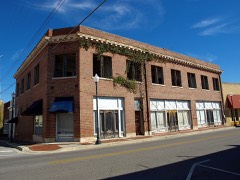 | Andalusia Commercial Historic District | district | 1989 | 88003238 |
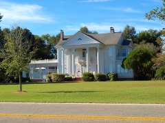 | Avant House | building | 1996 | 96000046 |
 | Bank of Andalusia | building | 1989 | 88003239 |
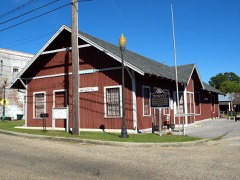 | Central of Georgia Depot | building | 1984 | 84000606 |
 | Covington County Courthouse and Jail | district | 1989 | 88003240 |
 | First National Bank Building | building | 1982 | 82002006 |
| Florala Historic District | district | 2010 | 10001050 | |
| J.W. Shreve Addition Historic District | district | 2009 | 09000692 | |
| Opp Commercial Historic District | district | 2001 | 01001164 | |
| William T. Shepard House | building | 1973 | 73000339 |
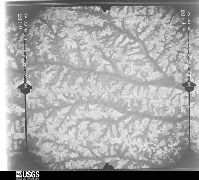
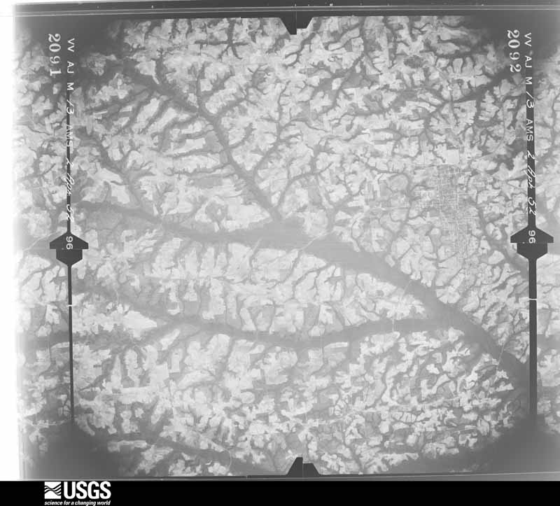
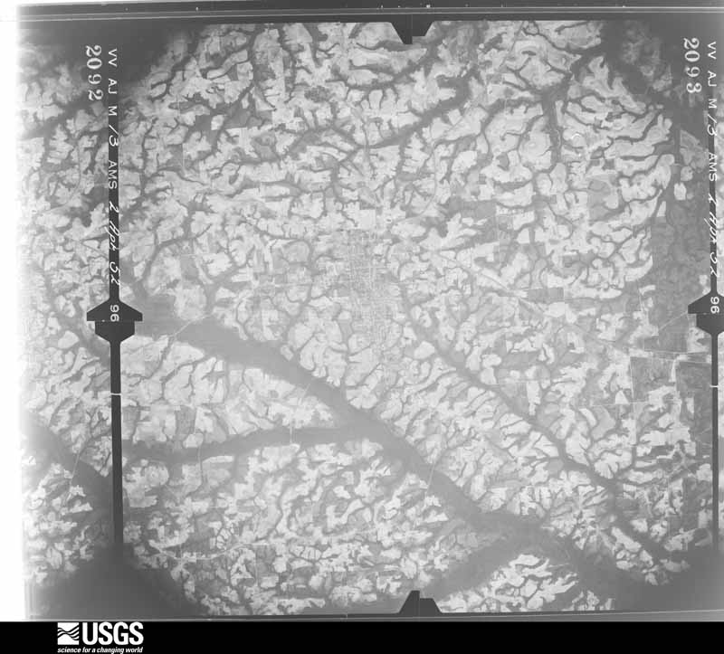
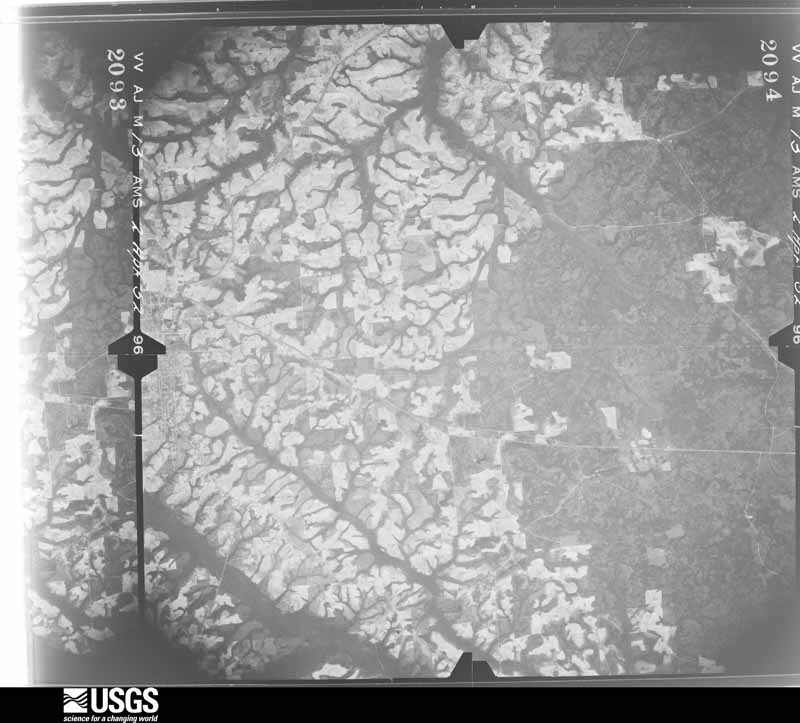
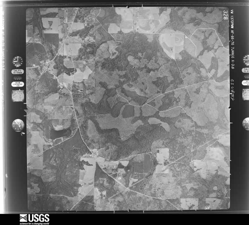
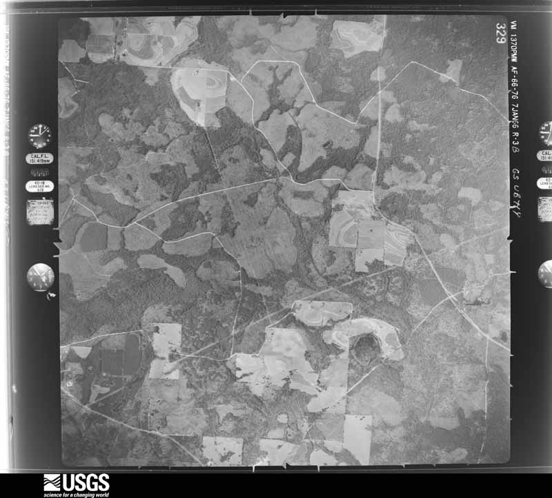
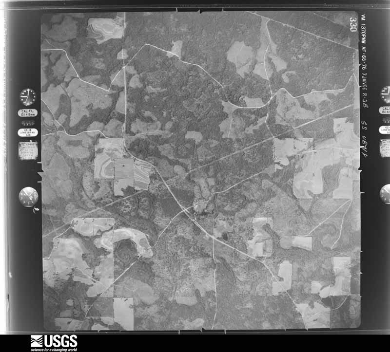
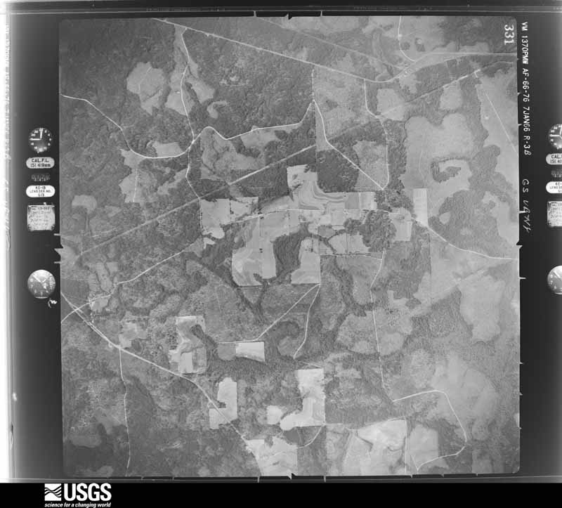
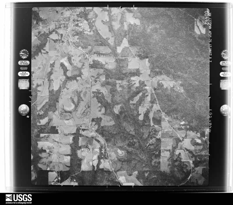
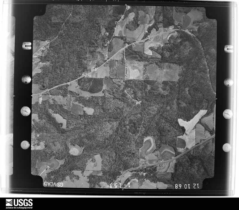
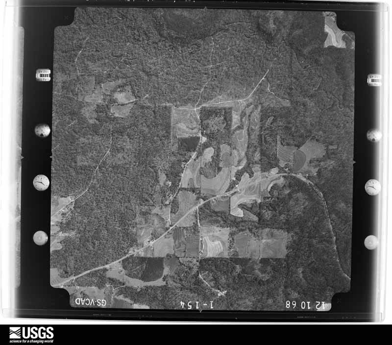
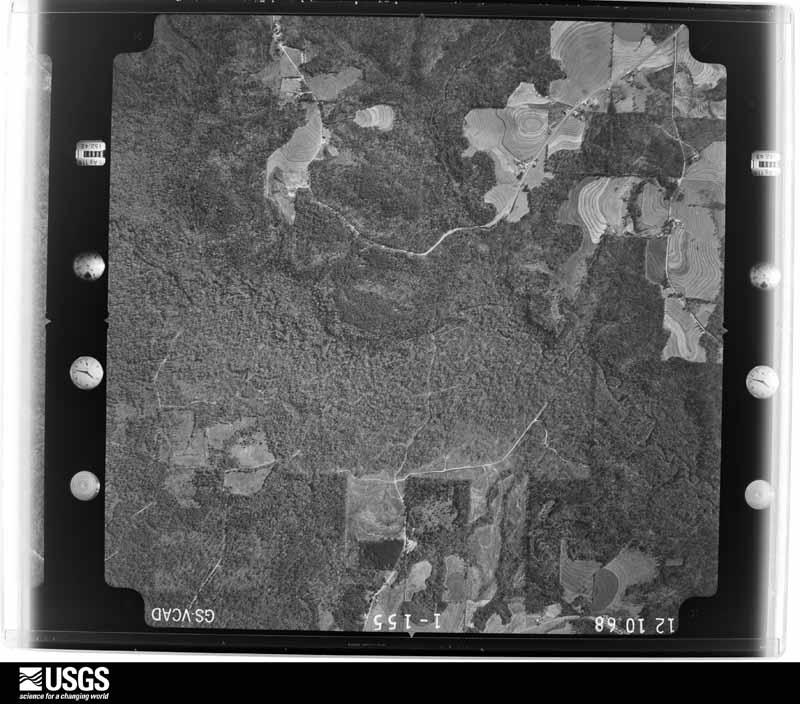
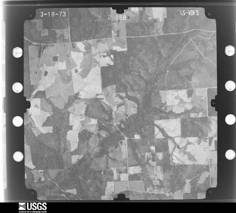
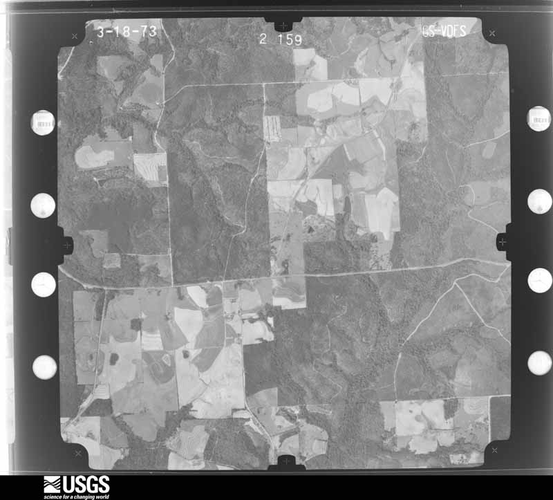
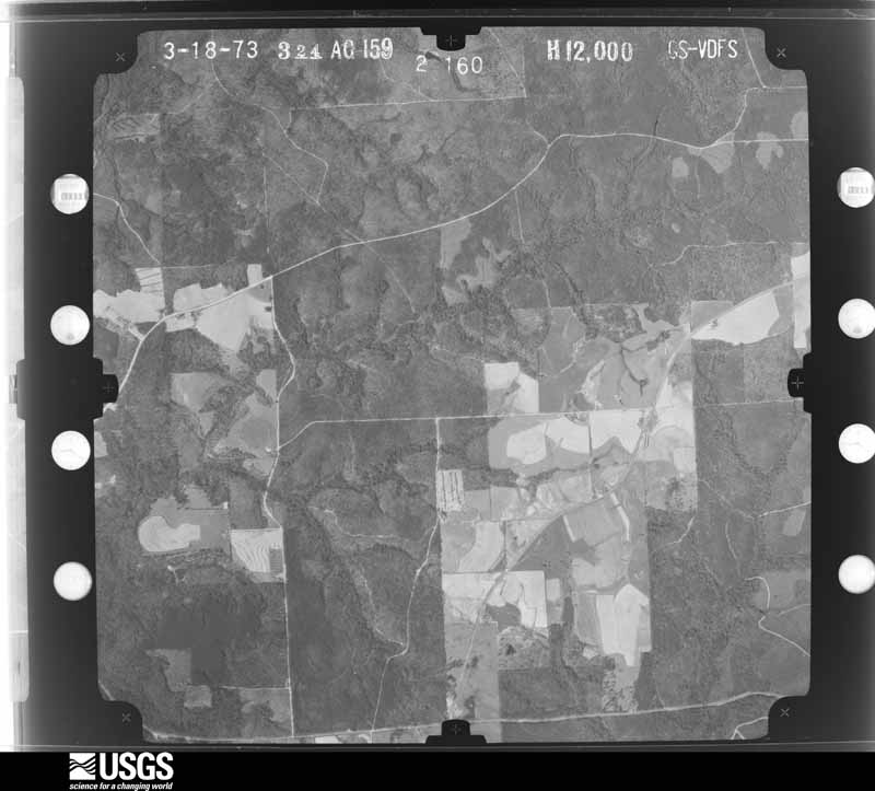
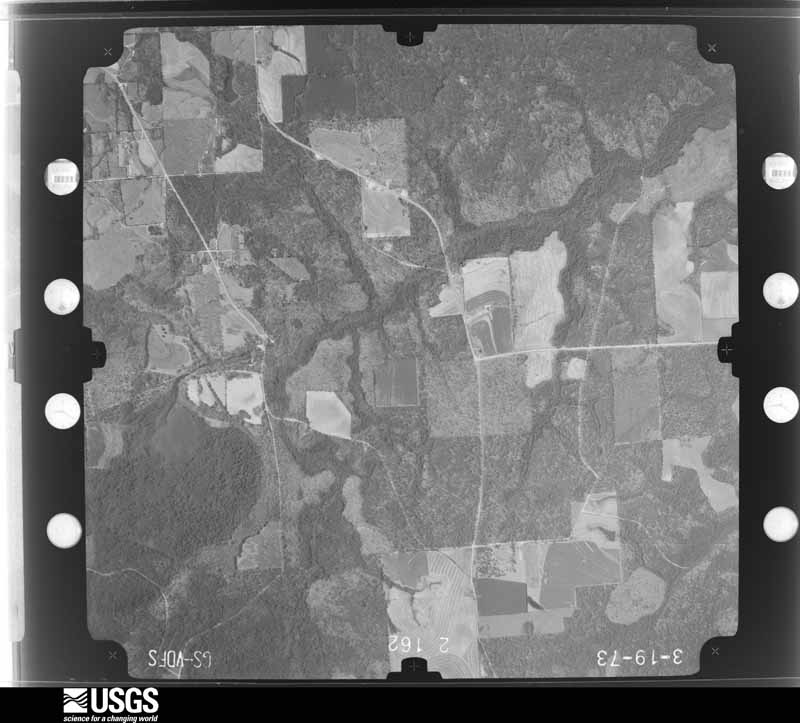
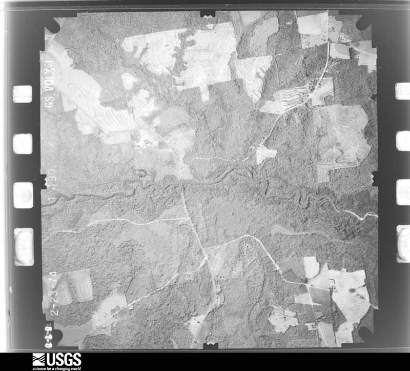
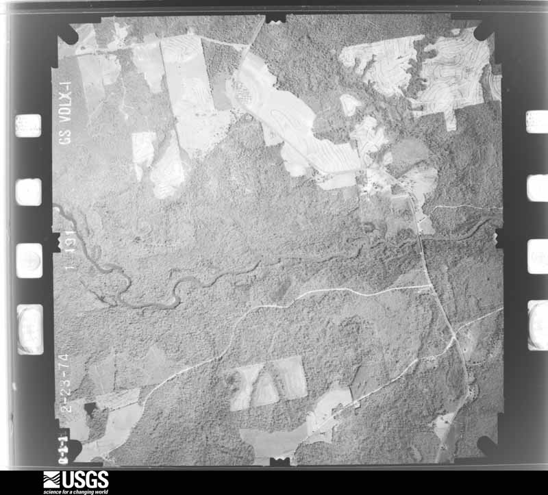
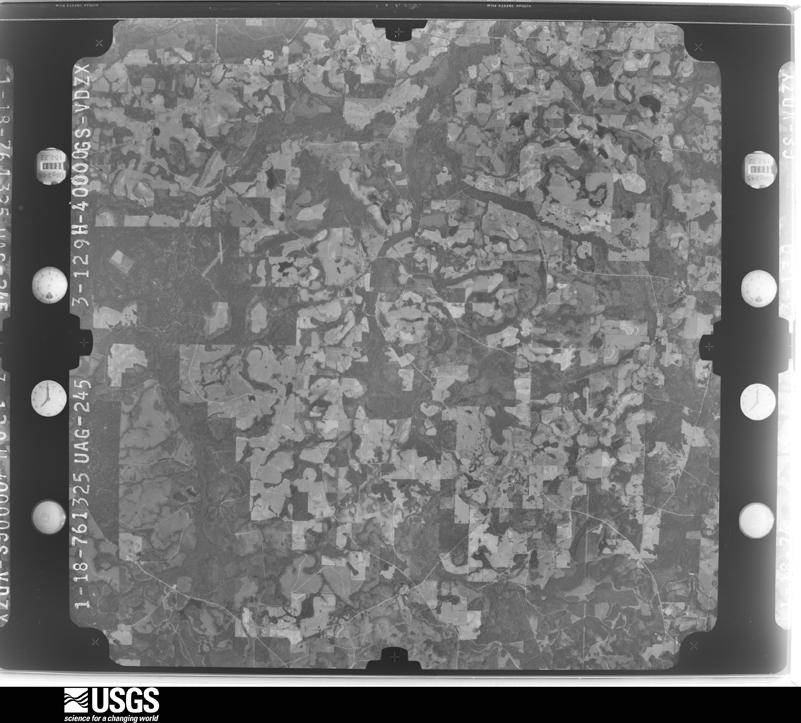
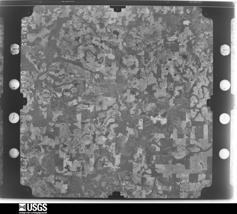
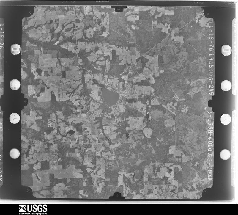
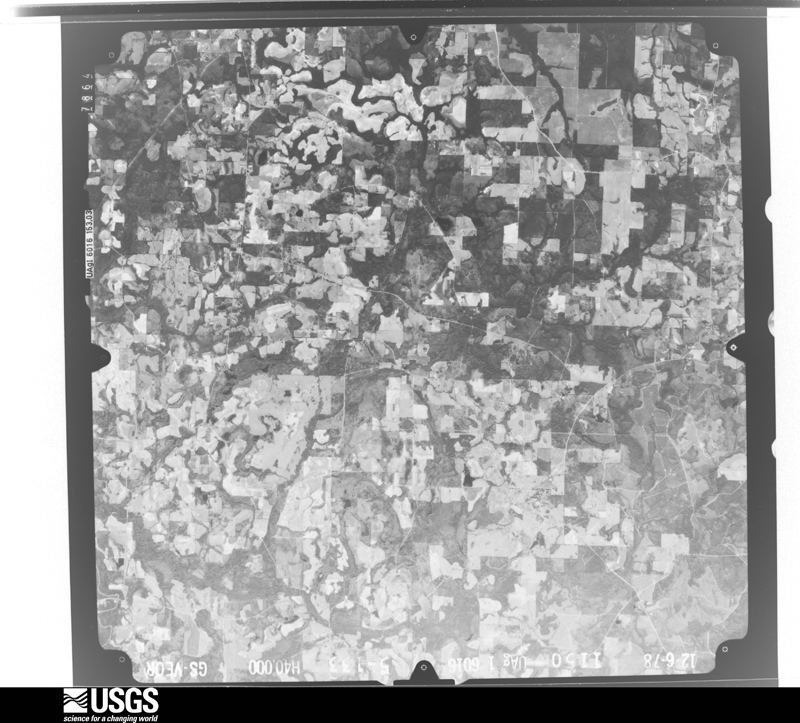
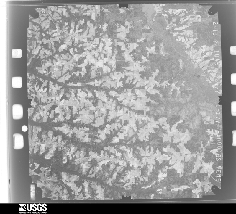
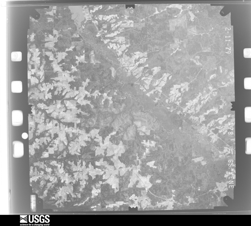
Flown by the U.S. Geological Survey between 1937 and 1989, the Aerial Photo Single Frames collection is the definitive mid-century view of the land: fields, roads and rivers as the camera saw them. The Survey holds 1,030 frames inside the rectangle that bounds this county; the 32 frames below were taken over the county itself, chosen across the decades of flights (at most four a year from that rectangle), so one flight cannot crowd out the rest. The full set is free to browse and download at EarthExplorer under the dataset Aerial Photo Single Frames.
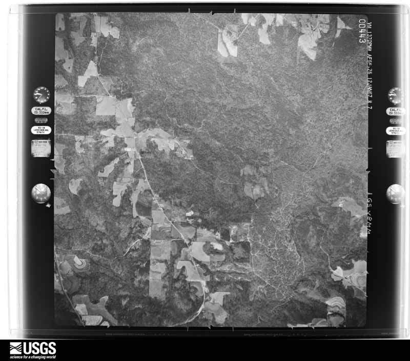
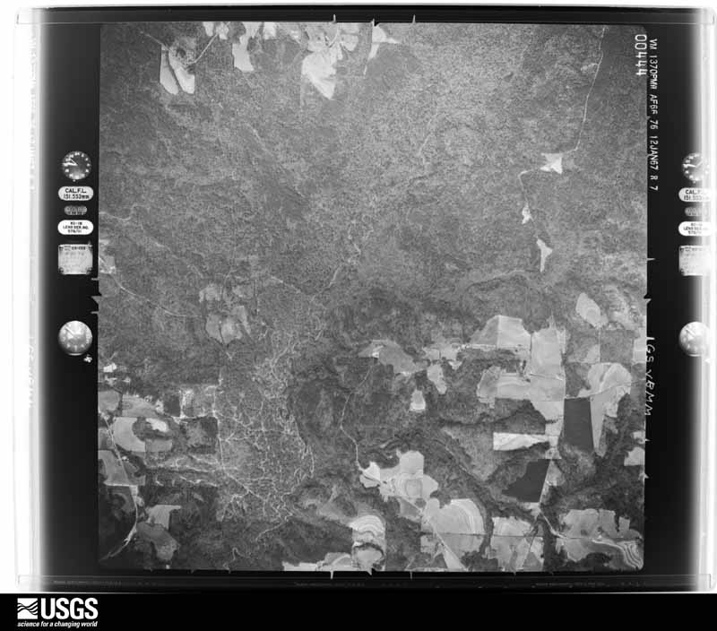
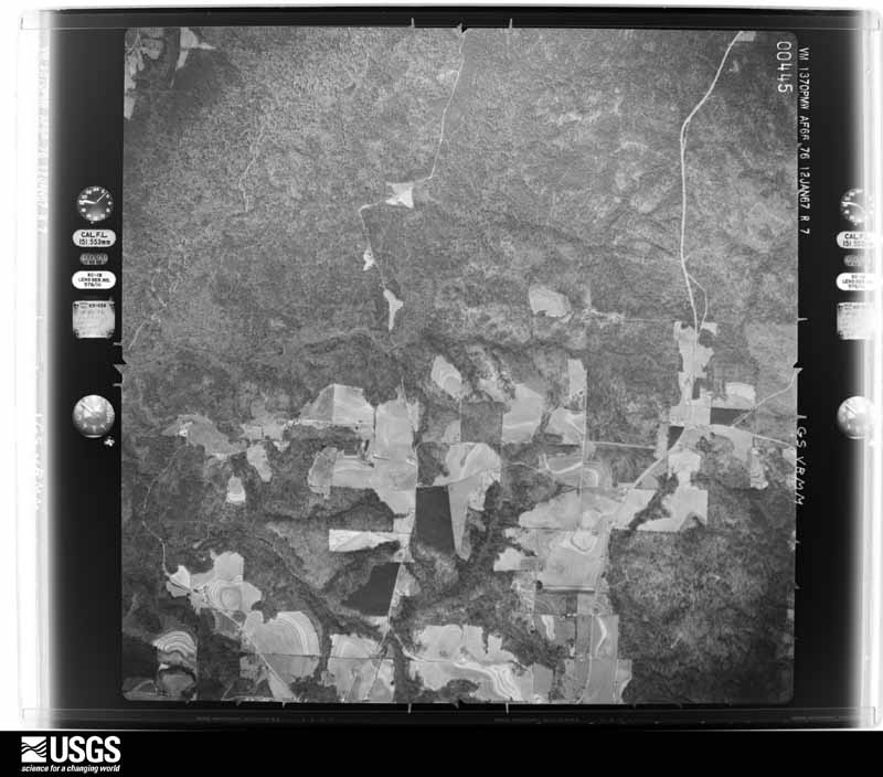
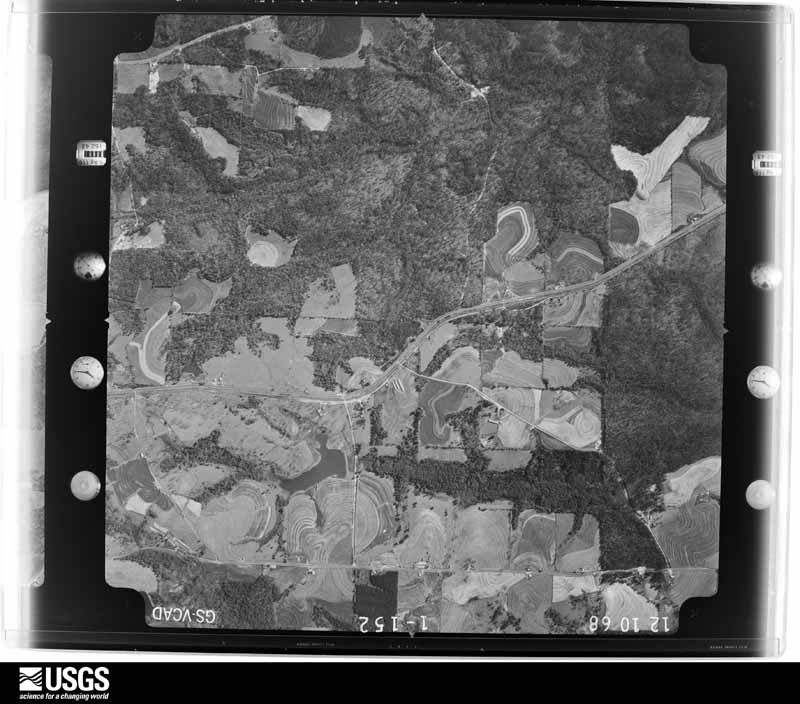
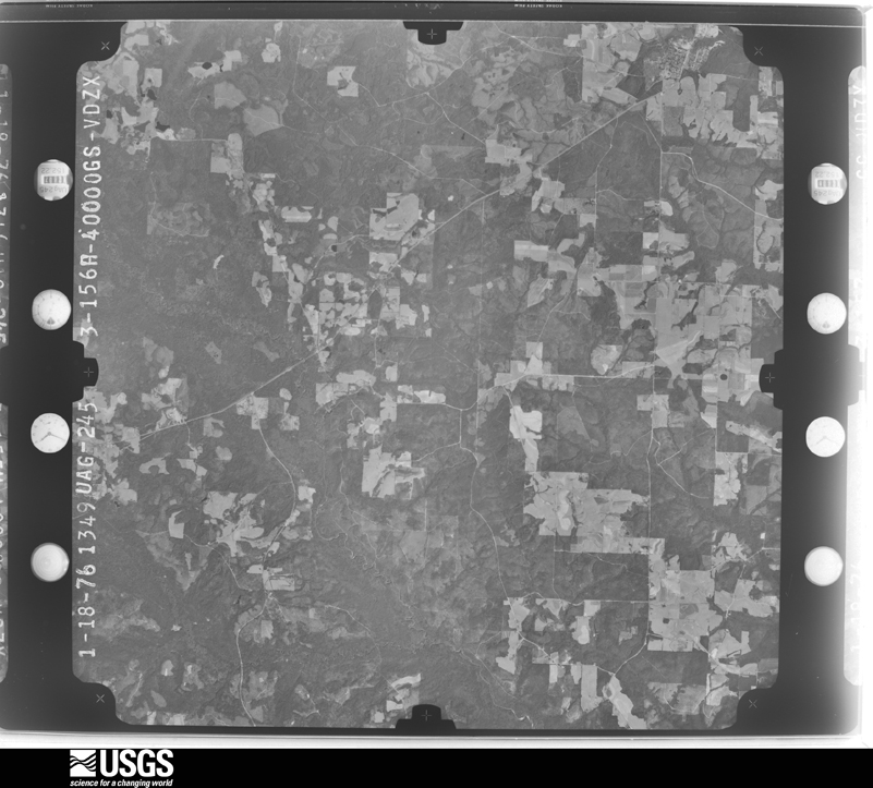
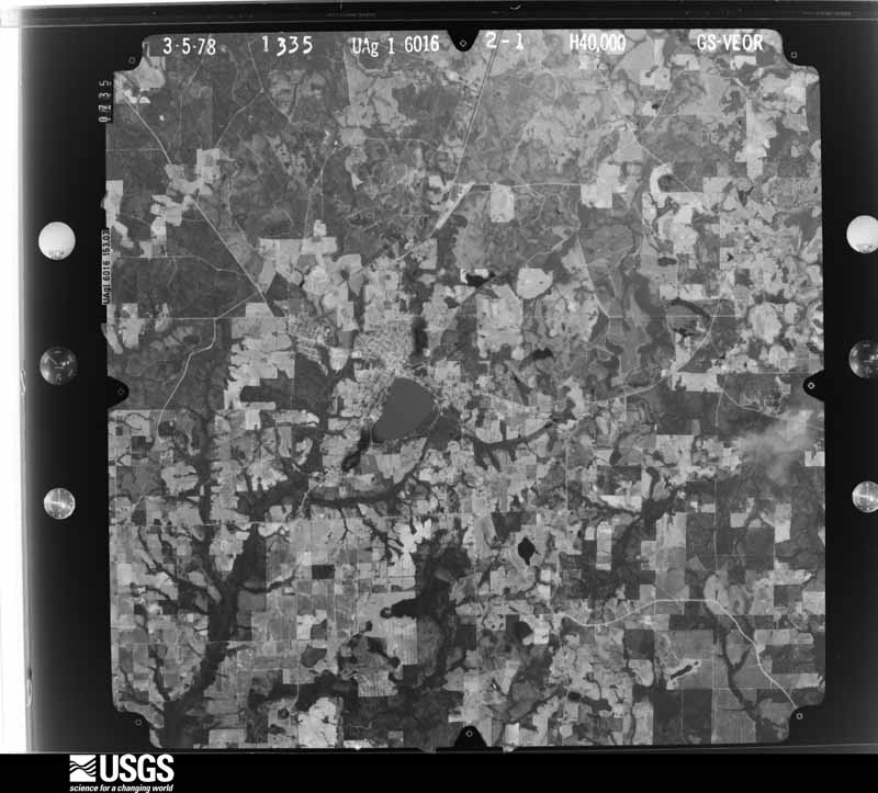
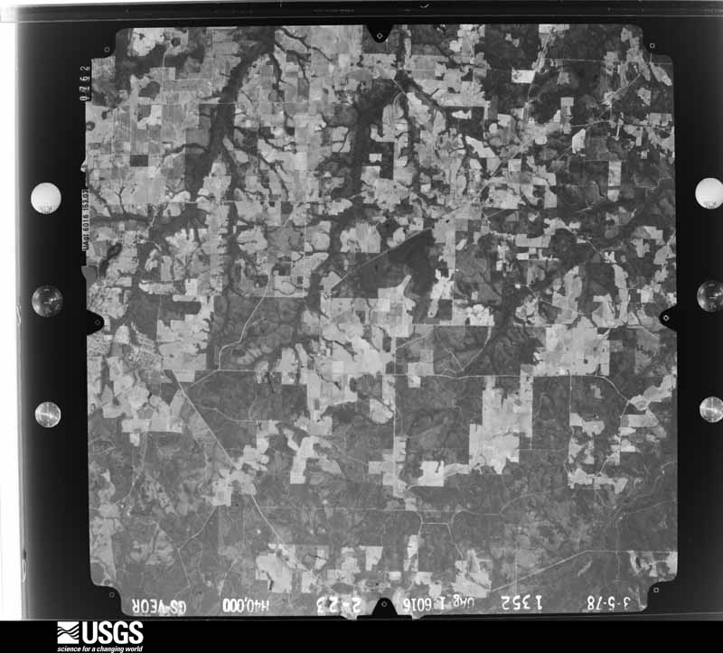
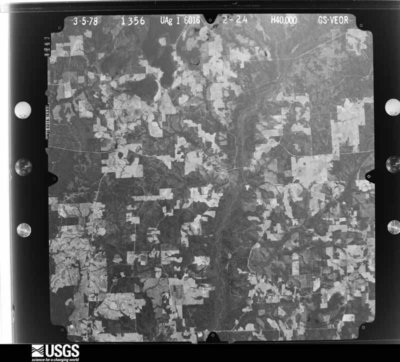
The thermometers that kept this county's weather, and the gages that measured the flow of its streams, as the federal records hold them. The extremes below are measured values from those records, not estimates.
Who lived here in 1950, one enumeration district at a time, as the Census Bureau described each district. Each row opens its official National Archives result, with Population Schedules and ED Maps available there.
Every wildfire the federal occurrence database records inside this county: 958 of them, burning about 11,226 acres. 34 started naturally and 216 were recorded as arson. Each settlement page carries the fires within five miles of it.
| Reported cause | Fires |
|---|---|
| Debris and open burning | 302 |
| Arson/incendiarism | 216 |
| Missing data/not specified/undetermined | 154 |
| Equipment and vehicle use | 108 |
| Recreation and ceremony | 76 |
| Railroad operations and maintenance | 35 |
| Natural | 34 |
| Misuse of fire by a minor | 18 |
| Smoking | 13 |
| Power generation/transmission/distribution | 2 |
The five largest, by the area the report gives. Five of them were set deliberately.
| Date | Cause | Size | Reported by | Name on the report |
|---|---|---|---|---|
| 27 September 2019 | Arson/incendiarism | 589 acres | Alabama Forestry Commission | 20190927-5 |
| 16 April 2004 | Arson/incendiarism | 566 acres | Alabama Forestry Commission | GREENBAY |
| 5 June 2006 | Natural | 412 acres | National Forests in Alabama | SAND POINT |
| 14 April 2017 | Arson/incendiarism | 295 acres | Alabama Forestry Commission | 20170414-6 |
| 10 February 2006 | Arson/incendiarism | 183 acres | Alabama Forestry Commission | COVINGTON |
| 17 May 2011 | Natural | 182 acres | National Forests in Alabama | LOST DOG |
| 9 March 2004 | Debris and open burning | 162 acres | Alabama Forestry Commission | COVINGTON |
| 24 March 2018 | Arson/incendiarism | 160 acres | Alabama Forestry Commission | 20180324-2 |
Every settlement page carries the fires within five miles of it - see the settlement index below.
The NOAA Storm Events Database holds 431 reports for this county, causing 5 deaths, 25 injuries and about $20,025,750 in recorded property damage. Each settlement page carries the reports that name it.
| Kind of event | Reports |
|---|---|
| Thunderstorm Wind | 235 |
| Hail | 111 |
| Tornado | 49 |
| Flash Flood | 19 |
| Lightning | 10 |
| Funnel Cloud | 4 |
| Heavy Rain | 2 |
| Flood | 1 |
The most serious of them, by death, then injury, then recorded damage. The accounts are quoted exactly as the forecast office filed them.
| When | Event | Place named | Harm | What the report says |
|---|---|---|---|---|
| March 2001 | Tornado (F1) | Red Level | 2 killed, 1 hurt, $1,000,000 | A tornado touched down along the leading edge of a bow echo in the Pigeon Creek area just north of Red Level. The tornado destroyed a manufactured home with three people inside. Two of the occupants were killed and one was injured. The tornado appeared to have first touched down where the home was located. The youngest victim was home sick from school and her grandmother was watching her. The girls father was working in a room that was attached to the home. When the winds hit, the home was pulled out of the ground and rolled across a road and was completely demolished. The room where the girls father was working was left standing. Another "Double Wide" manufactured home, just west of the one that was destroyed, was picked up in the air, blown across or through a clump of trees, and set down about 50 yards south of where it was tied down, in another clump of trees. When viewing the home from a distance it appeared to have been purposely placed in the trees, with little outside damage visible. However, when viewed form the inside, it looked as if an earthquake had hit it, with almost everything inside damaged. Both of these manufactured homes were fairly new. Both of the homes had the front tie downs pulled out of the ground and the anchors on the back of the homes snapped. The winds were estimated to be greater than 100 mph with the combination of the tornado and the intense downdraft from the "Bow Echo". The tornado appeared to remain along the leading edge of the "Bow Echo" for a little over three miles. Other homes suffered roof damage and numerous trees were blown down along the path of the tornado. The tornado dissipated just before entering Butler county just west of Boykin. All totaled throughout the county, twelve homes were destroyed, nineteen had major damage and five had minor damage. Eleven vehicles were also destroyed. |
| June 2015 | Lightning | Opp | 2 killed | A male and female were struck and killed by lightning as they were attempting to cover a chicken coup which was by a tree. |
| July 2004 | Lightning | Florala | 1 killed | A 71 year old male was standing in a carport during a thunderstorm. Lightning struck a tree near the carport and then the bolt hit the man in the chest while he was standing underneath the metal carport. The male was not found for a couple of hours and was already dead when help arrived. |
| February 1990 | Tornado (F1) | not stated | 10 hurt, $2,500,000 | no account filed |
| July 1979 | Tornado (F2) | not stated | 4 hurt, $250 | no account filed |
| June 1957 | Tornado (F2) | not stated | 2 hurt, $250,000 | no account filed |
| May 1956 | Tornado (F3) | not stated | 2 hurt, $25,000 | no account filed |
| April 2020 | Thunderstorm Wind | Gantt | 2 hurt | A storm survey identified a one mile area of significant straight line wind damage near the Gantt and Heath areas. Winds were estimated to be between 80 to 90 mph. These winds rolled over a single wide manufactured home, injuring 2 occupants. Numerous trees were downed or snapped and several power lines were downed as well. |
| December 1983 | Tornado (F2) | not stated | 1 hurt, $250,000 | no account filed |
| February 2017 | Tornado (EF0) | Andalusia | 1 hurt, $100,000 | A tornado moved across an area on the east side of Andalusia which affected two residential areas and a campground. The tornado caused shingle damage to several roofs, downed several trees, and overturned several campers and RVs. One individual suffered minor injuries. Damage also occurred to a large metal storage building at the Covington County Water Authority. Numerous water pipes from the water facility were tossed by the tornado. |
| February 2016 | Tornado (EF1) | South | 1 hurt, $100,000 | This tornado was produced from the same parent supercell that produced tornadoes in Conecuh and Escambia Counties in Alabama as well as Escambia County Florida. The Covington County tornado first produced sporadic tree damage on Lloyd Mill Road. The tornado reached peak intensity of EF-1 when it moved across Swinson Road and destroyed a single wide mobile home. One person in the home suffered minor injuries. The tornado continued northeast and porduced further sporadic tree damage and minor roof damage to a few residences. It lifted and dissipated on Boykin Road just south of the Butler County line. |
| April 1984 | Thunderstorm Wind | not stated | 1 hurt | no account filed |
| March 1998 | Flash Flood | Countywide | $6,000,000 | no account filed |
| December 2015 | Flood | Eoda | $3,160,000 | Numerous roads in the county were closed due to flooding. Many dirt roads and bridges were damaged by the flood waters. |
| April 2011 | Tornado (EF1) | Beck | $1,500,000 | The tornado continued east from extreme southeastern Conecuh County, Alabama. The tornado snapped or uprooted trees along a 150 yard wide path, producing damage to several homes, outbuildings and structures adjacent to Brooklyn Road. Several homes had significant roof damage with some having trees blown over onto them. The tornado crossed U.S. Highway 29 at County Road 56 then lifted as it moved across the Covington County Arena area producing roof damage to the Kiwanis Building. |
| November 2006 | Tornado (F2) | Green Bay | $1,000,000 | The tornado first touched down near Hillcrest Ponds around the junction of county roads 34 and 45, then moved northeast, before lifting back into the clouds near county road 70 just west of Friendship. Considerable damage occurred along the path of the tornado. The first residence hit had two large grain silos torn from their foundations. One was thrown roughly 15 yards, the other about 150 yards across the road and into a nearby pasture. Another home sustained considerable damage when an outbuilding was lifted by the tornado and thrown into the home. Several other homes along the path of the tornado suffered roof damage. The most significant and widespread damage along the path of the tornado occurred near Opine, where up to six commercial poultry farm buildings were destroyed or heavily damaged. Approximately 130,000 chickens were killed. |
| April 1998 | Tornado (F1) | Opp | $1,000,000 | A tornado touched down just east of the Opp country club, then moved southeast crossing U S Highway 84 just south of downtown before lifting back into the cloud just west of U S Highway 331. The tornado damaged the Opp mill and tore off part of the roof from the South Highlands Elementary school. The tornado damaged more than ninety homes and several businesses. No injuries were reported. |
| February 2008 | Tornado (EF1) | Beck | $250,000 | The strong EF-2 tornado that began in Escambia county entered Covington county 6.4 miles southwest of Beck over heavily forested areas and moved northeast. The tornado crossed County Road 42 just to the west of Fairfield. The tornado then dissipated just north of Fairfield. In Covington county the tornado was rated a weak EF-1. Significant tree damage occurred in Covington county with structural damage confined to the populated area of Fairfield. Five houses suffered damage and one home was destroyed in Fairfield. No injuries were reported. |
| November 1997 | Tornado (F1) | Opp | $250,000 | A tornado briefly touched down one mile south of Opp near the community of Beulah. Three homes were hit by the tornado. One home was completely destroyed and two others suffered major damage. Five family members in the destroyed home said they huddled in the hallway and were not injured. They said it sounded like a freight train moved through. Two large empty chicken houses were also destroyed. A barn and several outbuildings also suffered damage. Trees and power lines were blown down. Several vehicles and farm implements also were damaged by the fallen trees. One cow was killed by the debris. Another cow was found wandering in the road, but there was no way for the cow to have gotten there unless it was picked up and set on the other side of a fence that was not damaged by the storm. |
| March 1976 | Tornado (F2) | not stated | $250,000 | no account filed |
| March 2001 | Thunderstorm Wind | Gantt | $200,000 | The line of intense thunderstorms that had moved through the Red Level and Pigeon Creek areas of Covington county caused more damage along U. S. 29. just northeast of Gantt. The damage was mostly confined to the west side of the lake. The high winds caused damage to several homes and buildings along with blowing down numerous trees. Most of the damage was to light weight structures, such as out buildings and tin roofs on barns. No one was injured. The "Bow Echo" that caused the damage kept weakening as it moved east. |
| May 2008 | Tornado (EF0) | Red Level | $150,000 | A weak tornado moved out of Conecuh county and into Covington county along U. S. Highway 84. The tornado moved northeast and tracked just west of Red Level where a tree fell on a house and caused major roof damage. The tornado then passed near the city of South where three homes and one mobile home were damaged. An old volunteer fire department building was also damaged. The tornado then dissipated. In addition to the structures that were damaged, many trees were blown down along the path of the tornado. |
| June 2007 | Thunderstorm Wind | Andalusia | $100,000 | High winds from a thunderstorm blew down several trees and power lines in Andalusia. Two buildings suffered wind damage and trees fell on two homes and caused damage. Quarter size hail was also reported. |
| March 1999 | Tornado (F1) | Andalusia | $100,000 | A F1 tornado (winds 74 to 112 mph on the Fujita Scale) skipped along and just south of County Road 70 Northeast of Andalusia. The tornado touched down several times along its 9 mile path. The most significant structural damage occurred off Highway 331 where four chicken facilities suffered major damage. 400 chickens were killed, a porch was torn off a house, tin was ripped off several out buildings and numerous trees were blown down. An eyewitness said he saw a funnel about 100 feet off the ground after one of his chicken houses was destroyed. A gas station in the same area had its roof blown off. Along County Road 77, just south of County Road 70, several houses suffered roof damage with shingles blown off. A couple of out buildings were blown away and numerous trees were blown down. A church building nearby also suffered damage. |
| March 1999 | Tornado (F0) | Opp | $60,000 | An F0 tornado briefly touched down near the Horn Hill community. The first touch down was near the intersection of County Roads 85 and 97 and damaged the roof and some siding of a house. The weak tornado then moved east and blew down some trees on County Road 99. A couple of the trees fell onto a trailer and damaged it. The tornado then briefly touched down one last time near County Road 77 and blew more trees down before dissipating. No one was injured. |
| February 1996 | Thunderstorm Wind | Red Level | $60,000 | no account filed |
| June 2017 | Tornado (EF1) | Green Bay | $50,000 | The tornado touched down on Jackson Town Road, just north of Adams Pond Road. A residence experienced the loss of its roof over an open door garage. Numerous trees|were uprooted in the same area. The tornado continued northwest, causing sporadic damage mainly to trees, but one home did suffer some minor roof damage. The tornado crossed Highway 84 and lifted near Nelson Road. The tornado was rated an EF-1 with estimated peak winds of 95 mph. Damage values are estimated. |
| March 2009 | Thunderstorm Wind | Green Bay | $50,000 | Survey team found evidence of straight line wind damage to several homes and metal buildings. Most of the wind damage occurred to mobile homes and metal buildings with two mobile homes completely destroyed and several other suffering damage. A two story homes also experienced roof damage. Most of the damage was found in an area from one to two miles northeast of Onycha. Based on the damage evidence the team estimated winds around 90 mph. |
| October 2008 | Tornado (EF0) | Watkins Bridge | $50,000 | A weak tornado first set down just southwest of Red Oak, blowing down several trees. The tornado continued through the woods and damaged a couple of residences near U. S. Highway 55. Tin was blow off a shed and was found a couple hundred yards northwest of Highway 55. The tornado continued across Highway 55 and dissipated just northwest of Highway 55. No injuries occurred. |
| April 1994 | Thunderstorm Wind | not stated | $50,000 | Strong winds with thunderstorms caused scattered damage across Covington County Friday evening. One of the major effects was power outage with about 4,300 electric customers without power. Trees were downed and some light roof damage was reported to out-buildings and chicken coops. |
| May 2005 | Tornado (F0) | Gantt | $40,000 | A weak tornado touched down near a home in the Straughn community. The weak tornado stayed on the ground for about a mile. The tornado damaged a home that had just been repaired from damage that it received during hurricane Ivan. The home suffered roof and siding damage from the tornado. A pump house was also destroyed. Several trees were also blown down. Although someone was in the attic of the home when the tornado damaged the roof, they were not injured. |
| March 2009 | Thunderstorm Wind | Andalusia | $35,000 | Winds estimated at 70 mph downed a tree on a house roof in Andalusia along with trees on two mobile homes roofs just north of Andalusia. |
| March 2009 | Thunderstorm Wind | Florala | $30,000 | Winds estimated at 60 mph downed a tree that fell on a trailer. |
| April 1998 | Tornado (F1) | Heath | $30,000 | A tornado briefly touched down along U S Highway 29 near Heath. A roof was torn off of four rooms at a motel along the highway. The tornado, only on the ground for a short period of time, knocked a couple of trees down and caused minor damage to a mobile home across the highway from the motel. No injuries were reported. |
| June 2016 | Thunderstorm Wind | Andalusia | $25,000 | Winds estimated at 60 mph downed numerous trees across the county. A tree also fell on a house. |
| April 2015 | Thunderstorm Wind | Andalusia | $25,000 | K79J at South Alabama Regional Airport in Andalusia measured a wind gust of 61 mph.||The severe thunderstorm wind gusts resulted in the downing of numerous trees across the city of Andalusia. In downtown Andalusia, an awning to a business was blown off. |
| August 2014 | Thunderstorm Wind | Andalusia | $25,000 | Winds estimated at 70 mph downed 5 large oak trees along with damage to a shed and a roof of a house. |
| September 1998 | Tornado (F0) | Andalusia | $25,000 | A tornado briefly touched down near the community of Antioch (northeast of Andalusia). The tornado caused roof damage to three homes. Several trees and power lines were also blown down. |
| May 1995 | Tornado (F0) | Opp | $25,000 | A small tornado touched down about four miles northwest of Opp blowing the side off a mobile home, overturning a pump house, and downing several trees and power lines. |
| June 2008 | Lightning | Opp | $25,000 | no account filed |
| October 1985 | Tornado (F1) | not stated | $25,000 | no account filed |
| September 1984 | Tornado (F1) | not stated | $25,000 | no account filed |
| June 1984 | Tornado (F1) | not stated | $25,000 | no account filed |
| May 1980 | Tornado (F1) | not stated | $25,000 | no account filed |
| May 1980 | Tornado (F1) | not stated | $25,000 | no account filed |
| May 1978 | Tornado (F1) | not stated | $25,000 | no account filed |
| March 1975 | Tornado (F1) | not stated | $25,000 | no account filed |
| December 1964 | Tornado (F0) | not stated | $25,000 | no account filed |
| July 2008 | Thunderstorm Wind | River Falls | $20,000 | Trees and power lines were blown down by thunderstorm winds between River Falls and Andalusia. A shed was hit by lightning and was destroyed by the fire that resulted from the strike. |
| October 2002 | Tornado (F0) | Libertyville | $20,000 | A weak tornado briefly touched down near the community of Carolina, west of Libertyville. The tornado blew down several trees and also did minor roof damage to several homes. No injuries were reported. |
| March 2001 | Thunderstorm Wind | Florala | $20,000 | High thunderstorm winds blew down trees throughout the community. One of the trees fell onto a house, causing damage to the structure. |
| March 2001 | Thunderstorm Wind | Opp | $20,000 | Several trees were blown down just east of Opp as a line of thunderstorms moved through the area. The storms were moving east and weakened as they moved out of Covington county. |
| July 2000 | Thunderstorm Wind | Opp | $20,000 | Severe thunderstorms downed numerous trees and power lines in and around the Opp area. Several stores in a shopping center in the Opp area had their roofs torn off by the high thunderstorm winds. |
| December 2000 | Thunderstorm Wind | Wing | $20,000 | High winds from a thunderstorm blew down several trees along County Road 4 near Givens Bridge. One of the trees fell near a home and damaged a porch and two vehicles parked near in the driveway. |
| November 1997 | Thunderstorm Wind | Andalusia | $20,000 | High winds damaged a couple of homes near U S Highway 29 in the Pleasant Home community. A couple of barns and several silos also suffered damage. Several trees and power lines were also blown down. A microburst with winds estimated at 60 to 70 mph appeared to have caused the damage. |
| June 2008 | Lightning | Wing | $20,000 | no account filed |
| February 2016 | Thunderstorm Wind | Haygood | $15,000 | A bow echo, producing winds estimated at 80 mph, produced a corridor of wind damage along and north of Straughn School Road which is northeast of Andalusia. Numerous trees were uprooted with power lines also downed. A tree fell onto a home on Country Drive, causing considerable damage. |
| March 2007 | Thunderstorm Wind | Florala | $15,000 | High winds from a thunderstorm blew down trees and power lines near Florala. Several light weight structures suffered wind damage. This is the same complex of thunderstorms that later produced the Enterprise tornado. |
| March 2005 | Hail | Andalusia | $15,000 | Large hail fell between Andalusia and Opp. Hail up to the size of baseballs was reported. Several vehicles and homes suffered damage from the large hail. The hail lasted for several minutes. |
| July 2005 | Tornado (F0) | Lockhart | $15,000 | A tornado that had developed in Okaloosa county moved into Covington county from the south. The tornado tracked to just west of Lockhart before dissipating. Trees and power lines were blown down along the track of the tornado. |
The Survey's mineral resources record lists 180 workings inside this county. 1 still produces and 179 are closed or unrecorded. Each settlement page carries the workings within five miles of it.
| Commodity | Workings |
|---|---|
| Iron | 174 |
| Clay | 3 |
| Silica | 1 |
| Sand and Gravel, Construction | 1 |
| Limestone, General | 1 |
The least common of them first, because a county's hundredth gravel pit says nothing its first ten did not.
| Where | Site | Commodity | Status | Recorded |
|---|---|---|---|---|
| Marianna and Ocala Limestone Quarry | Limestone, General | Past Producer | ||
| River Falls Sand Prospect | Sand and Gravel, Construction | Prospect | ||
| Unnamed Quarry | Silica | Producer | Quartz | |
| Andalusia Clay Prospect | Clay | Prospect | ||
| Cov 1 Clay Prospect | Clay | Prospect | ||
| Cov 5 Clay Prospect | Clay | Prospect | ||
| Unnamed | Iron | Unknown | ||
| Unnamed | Iron | Unknown | ||
| Unnamed | Iron | Unknown | ||
| Unnamed | Iron | Unknown | ||
| Unnamed | Iron | Unknown | ||
| Unnamed | Iron | Unknown | ||
| Unnamed | Iron | Unknown | ||
| Unnamed | Iron | Unknown | ||
| Unnamed | Iron | Unknown | ||
| Unnamed | Iron | Unknown | ||
| Unnamed | Iron | Unknown | ||
| Unnamed | Iron | Unknown | ||
| Unnamed | Iron | Unknown | ||
| Unnamed | Iron | Unknown | ||
| Unnamed | Iron | Unknown | ||
| Unnamed | Iron | Unknown | ||
| Unnamed | Iron | Unknown | ||
| Unnamed | Iron | Unknown | ||
| Unnamed | Iron | Unknown | ||
| Unnamed | Iron | Unknown | ||
| Unnamed | Iron | Unknown | ||
| Unnamed | Iron | Unknown | ||
| Unnamed | Iron | Unknown | ||
| Unnamed | Iron | Unknown | ||
| Unnamed | Iron | Unknown | ||
| Unnamed | Iron | Unknown | ||
| Unnamed | Iron | Unknown | ||
| Unnamed | Iron | Unknown | ||
| Unnamed | Iron | Unknown | ||
| Unnamed | Iron | Unknown | ||
| Unnamed | Iron | Unknown | ||
| Unnamed | Iron | Unknown | ||
| Unnamed | Iron | Unknown | ||
| Unnamed | Iron | Unknown | ||
| Unnamed | Iron | Unknown | ||
| Unnamed | Iron | Unknown | ||
| Unnamed | Iron | Unknown | ||
| Unnamed | Iron | Unknown | ||
| Unnamed | Iron | Unknown | ||
| Unnamed | Iron | Unknown | ||
| Unnamed | Iron | Unknown | ||
| Unnamed | Iron | Unknown | ||
| Unnamed | Iron | Unknown | ||
| Unnamed | Iron | Unknown | ||
| Unnamed | Iron | Unknown | ||
| Unnamed | Iron | Unknown | ||
| Unnamed | Iron | Unknown | ||
| Unnamed | Iron | Unknown | ||
| Unnamed | Iron | Unknown | ||
| Unnamed | Iron | Unknown | ||
| Unnamed | Iron | Unknown | ||
| Unnamed | Iron | Unknown | ||
| Unnamed | Iron | Unknown | ||
| Unnamed | Iron | Unknown | ||
| Unnamed | Iron | Unknown | ||
| Unnamed | Iron | Unknown | ||
| Unnamed | Iron | Unknown | ||
| Unnamed | Iron | Unknown | ||
| Unnamed | Iron | Unknown | ||
| Unnamed | Iron | Unknown | ||
| Unnamed | Iron | Unknown | ||
| Unnamed | Iron | Unknown | ||
| Unnamed | Iron | Unknown | ||
| Unnamed | Iron | Unknown | ||
| Unnamed | Iron | Unknown | ||
| Unnamed | Iron | Unknown | ||
| Unnamed | Iron | Unknown | ||
| Unnamed | Iron | Unknown | ||
| Unnamed | Iron | Unknown | ||
| Unnamed | Iron | Unknown | ||
| Unnamed | Iron | Unknown | ||
| Unnamed | Iron | Unknown | ||
| Unnamed | Iron | Unknown | ||
| Unnamed | Iron | Unknown | ||
| Unnamed | Iron | Unknown | ||
| Unnamed | Iron | Unknown | ||
| Unnamed | Iron | Unknown | ||
| Unnamed | Iron | Unknown | ||
| Unnamed | Iron | Unknown | ||
| Unnamed | Iron | Unknown | ||
| Unnamed | Iron | Unknown | ||
| Unnamed | Iron | Unknown | ||
| Unnamed | Iron | Unknown | ||
| Unnamed | Iron | Unknown | ||
| Unnamed | Iron | Unknown | ||
| Unnamed | Iron | Unknown | ||
| Unnamed | Iron | Unknown | ||
| Unnamed | Iron | Unknown | ||
| Unnamed | Iron | Unknown | ||
| Unnamed | Iron | Unknown | ||
| Unnamed | Iron | Unknown | ||
| Unnamed | Iron | Unknown | ||
| Unnamed | Iron | Unknown | ||
| Unnamed | Iron | Unknown | ||
| Unnamed | Iron | Unknown | ||
| Unnamed | Iron | Unknown | ||
| Unnamed | Iron | Unknown | ||
| Unnamed | Iron | Unknown | ||
| Unnamed | Iron | Unknown | ||
| Unnamed | Iron | Unknown | ||
| Unnamed | Iron | Unknown | ||
| Unnamed | Iron | Unknown | ||
| Unnamed | Iron | Unknown | ||
| Unnamed | Iron | Unknown | ||
| Unnamed | Iron | Unknown | ||
| Unnamed | Iron | Unknown | ||
| Unnamed | Iron | Unknown | ||
| Unnamed | Iron | Unknown | ||
| Unnamed | Iron | Unknown | ||
| Unnamed | Iron | Unknown | ||
| Unnamed | Iron | Unknown | ||
| Unnamed | Iron | Unknown | ||
| Unnamed Deposit | Iron | Occurrence | ||
| Unnamed Deposit | Iron | Occurrence | ||
| Unnamed Deposit | Iron | Occurrence | ||
| Unnamed Deposit | Iron | Occurrence | ||
| Unnamed Deposit | Iron | Occurrence | ||
| Unnamed Deposit | Iron | Occurrence | ||
| Unnamed Deposit | Iron | Occurrence | ||
| Unnamed Deposit | Iron | Occurrence | ||
| Unnamed Deposit | Iron | Occurrence | ||
| Unnamed Deposit | Iron | Occurrence | ||
| Unnamed Deposit | Iron | Occurrence | ||
| Unnamed Deposit | Iron | Occurrence | ||
| Unnamed Deposit | Iron | Occurrence | ||
| Unnamed Deposit | Iron | Occurrence | ||
| Unnamed Deposit | Iron | Occurrence | ||
| Unnamed Deposit | Iron | Occurrence | ||
| Unnamed Deposit | Iron | Occurrence | ||
| Unnamed Deposit | Iron | Occurrence | ||
| Unnamed Deposit | Iron | Occurrence | ||
| Unnamed Deposit | Iron | Occurrence | ||
| Unnamed Deposit | Iron | Occurrence | ||
| Unnamed Deposit | Iron | Occurrence | ||
| Unnamed Deposit | Iron | Occurrence | ||
| Unnamed Deposit | Iron | Occurrence | ||
| Unnamed Deposit | Iron | Occurrence | ||
| Unnamed Deposit | Iron | Occurrence | ||
| Unnamed Deposit | Iron | Occurrence | ||
| Unnamed Deposit | Iron | Occurrence | ||
| Unnamed Deposit | Iron | Occurrence | ||
| Unnamed Deposit | Iron | Occurrence | ||
| Unnamed Deposit | Iron | Occurrence | ||
| Unnamed Deposit | Iron | Occurrence | ||
| Unnamed Deposit | Iron | Occurrence | ||
| Unnamed Deposit | Iron | Occurrence | ||
| Unnamed Deposit | Iron | Occurrence | ||
| Unnamed Deposit | Iron | Occurrence | ||
| Unnamed Deposit | Iron | Occurrence | ||
| Unnamed Deposit | Iron | Occurrence | ||
| Unnamed Deposit | Iron | Occurrence | ||
| Unnamed Deposit | Iron | Occurrence | ||
| Unnamed Deposit | Iron | Occurrence | ||
| Unnamed Deposit | Iron | Occurrence | ||
| Unnamed Deposit | Iron | Occurrence | ||
| Unnamed Deposit | Iron | Occurrence | ||
| Unnamed Deposit | Iron | Occurrence | ||
| Unnamed Deposit | Iron | Occurrence | ||
| Unnamed Deposit | Iron | Occurrence | ||
| Unnamed Deposit | Iron | Occurrence | ||
| Unnamed Deposit | Iron | Occurrence | ||
| Unnamed Deposit | Iron | Occurrence | ||
| Unnamed Deposit | Iron | Occurrence | ||
| Unnamed Deposit | Iron | Occurrence | ||
| Unnamed Deposit | Iron | Occurrence | ||
| Unnamed Deposit | Iron | Occurrence | ||
| Unnamed Deposit | Iron | Occurrence | ||
| Unnamed Deposit | Iron | Occurrence | ||
| Unnamed Deposit | Iron | Occurrence | ||
| Unnamed Deposit | Iron | Occurrence | ||
| Unnamed Deposit | Iron | Occurrence | ||
| Unnamed Deposit | Iron | Occurrence | ||
| Unnamed Deposit | Iron | Occurrence | ||
| Unnamed Deposit | Iron | Occurrence |
Named settlements recorded in the Geographic Names Information System, each with the topographic sheets covering it. Villages, hamlets and abandoned places alike. Each is shown with the nearest named watercourse or landform and the survey quadrangle it falls on. The 3 places that were also surveyed for fire insurance come first, with the number of atlases and photographs held for them.
Andalusia census division · 36420 · Andalusia quadrangle
8 sheets, 1953 to 1986
Fire insurance: 6 atlases
Florala census division · 36442 · Florala quadrangle
8 sheets, 1953 to 1986
Fire insurance: 4 atlases
Opp census division · 36467 · On Cameron Creek · Opp West quadrangle
8 sheets, 1953 to 1986
Fire insurance: 2 atlases
Andalusia census division · 36421 · On Poley Creek · Opp West quadrangle
8 sheets, 1953 to 1986
Andalusia census division · 36420 · On Shady Bend Creek · River Falls quadrangle
8 sheets, 1953 to 1986
Opp census division · 36467 · On West Fork Shotbag Creek · Kinston quadrangle
8 sheets, 1953 to 1986
Opp census division · 36467 · On West Fork Cripple Creek · Opp East quadrangle
8 sheets, 1953 to 1986
Andalusia census division · 36421 · On Tervin Mill Creek · Opp West quadrangle
8 sheets, 1953 to 1986
Rose Hill-Gantt census division · 36028 · On Wolf Creek · Gantt quadrangle
8 sheets, 1953 to 1986
Rose Hill-Gantt census division · 36421 · On Feagin Creek · Gantt quadrangle
8 sheets, 1953 to 1986
Opp census division · 36467 · On East Fork Cripple Creek · Opp East quadrangle
8 sheets, 1953 to 1986
Rose Hill-Gantt census division · 36421 · On Rocky Creek · Gantt quadrangle
8 sheets, 1953 to 1986
Opp census division · 36467 · On West Fork Cripple Creek · Opp East quadrangle
8 sheets, 1953 to 1986
Andalusia census division · 36421 · On Feagins Creek · Opp West quadrangle
8 sheets, 1953 to 1986
Opp census division · 36467 · On West Fork Shotbag Creek · Kinston quadrangle
8 sheets, 1953 to 1986
Andalusia census division · 36421 · On Gafford Creek · Loango quadrangle
8 sheets, 1953 to 1986
Andalusia census division · 36421 · On Tervin Mill Creek · Opp West quadrangle
8 sheets, 1953 to 1986
Opp census division · 36467 · On Lightwood Knot Creek · Onycha quadrangle
7 sheets, 1953 to 1986
Florala census division · 36442 · On Richland Creek · Hacoda quadrangle
7 sheets, 1953 to 1986
Florala census division · 36442 · On North Creek · Watkins Bridge quadrangle
7 sheets, 1953 to 1986
Falco census division · 36420 · On Juniper Creek · Libertyville quadrangle
7 sheets, 1953 to 1986
No longer a settlement
Florala census division · 36442 · On Moccasin Branch · Florala quadrangle
8 sheets, 1953 to 1986
Andalusia census division · 36421 · On Adams Creek · River Falls quadrangle
8 sheets, 1953 to 1986
No longer a settlement
Rose Hill-Gantt census division · 36028 · On Rocky Creek · Gantt quadrangle
8 sheets, 1953 to 1986
Andalusia census division · 36474 · On Rita Branch · Red Level quadrangle
8 sheets, 1953 to 1986
Andalusia census division · 36421 · On Gunter Mill Creek · River Falls quadrangle
8 sheets, 1953 to 1986
Falco census division · 36442 · On Hog Foot Creek · Watkins Bridge quadrangle
7 sheets, 1953 to 1986
Andalusia census division · 36420 · On Bay Branch · Libertyville quadrangle
7 sheets, 1953 to 1986
Rose Hill-Gantt census division · 36421 · On Feagin Creek · Gantt quadrangle
8 sheets, 1953 to 1986
Andalusia census division · 36474 · Industry quadrangle
7 sheets, 1953 to 1986
No longer a settlement
Andalusia census division · 36421 · On Sasser Branch · Opp West quadrangle
8 sheets, 1953 to 1986
The vanished settlements of Covington County: the places named above that are no longer on the map.
8 topographic sheets and 6 fire insurance atlases, 1905 to 1947
8 topographic sheets and 4 fire insurance atlases, 1907 to 1941
8 topographic sheets and 2 fire insurance atlases, 1930 to 1943