 Block
From the record
4 National Register listings published here.
Sources: the National Register database, National Park Service
48 topographic sheets and 7 fire insurance atlases across 1 place.
4 National Register listings published here.
Sources: the National Register database, National Park Service
Every property in this county listed on the National Register of Historic Places, with the year it was listed and the federal nomination document.
| Photograph | Property | Type | Listed | Reference |
|---|---|---|---|---|
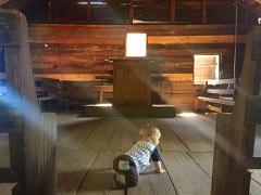 | Claybank Log Church | building | 1976 | 76000321 |
| Samuel Lawson Dowling House | building | 1996 | 96000594 | |
| J. D. Holman House | building | 1982 | 82002007 | |
| Oates-Reynolds Memorial Building | building | 1974 | 74000409 |
Drawn when these were printed as single large sheets: the town seen from the air, and the county divided into its farms with every owner named. Each opens the original at the Library of Congress.
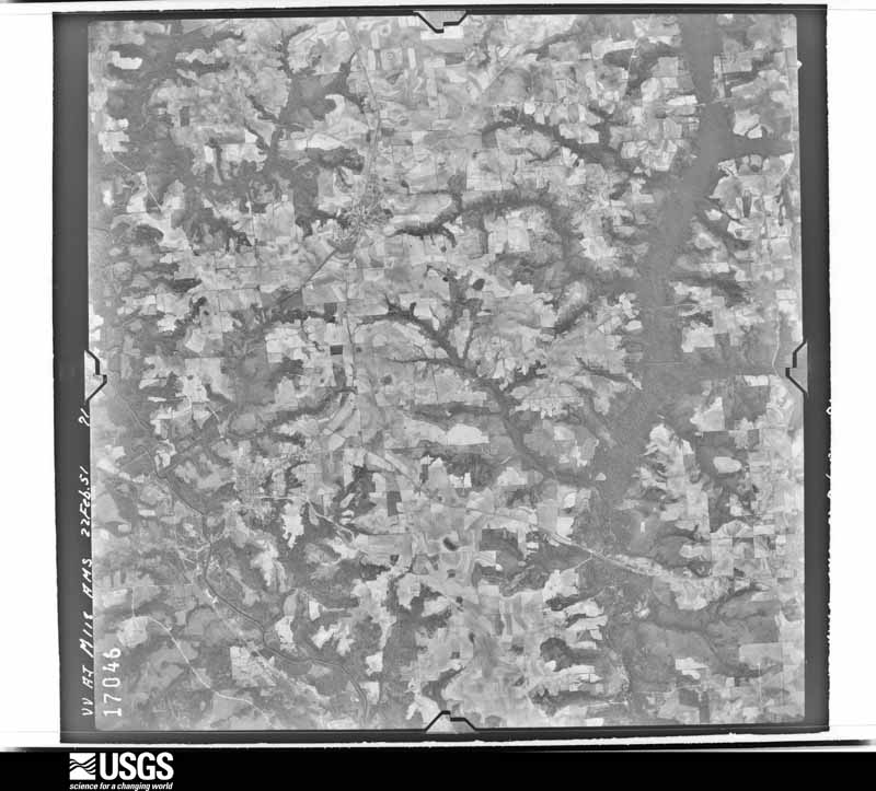
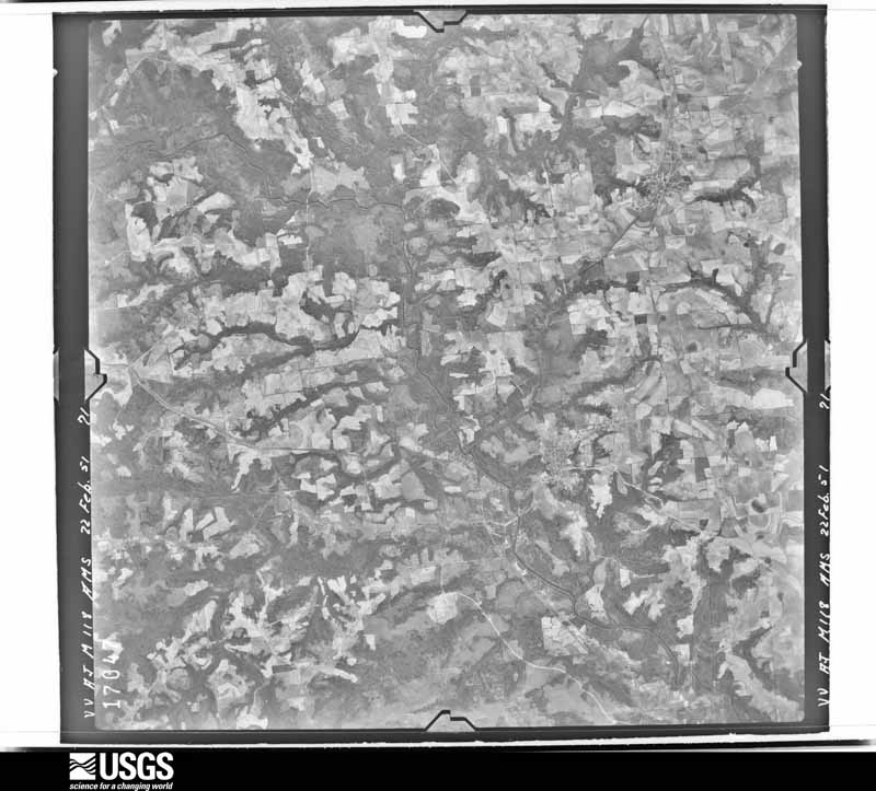
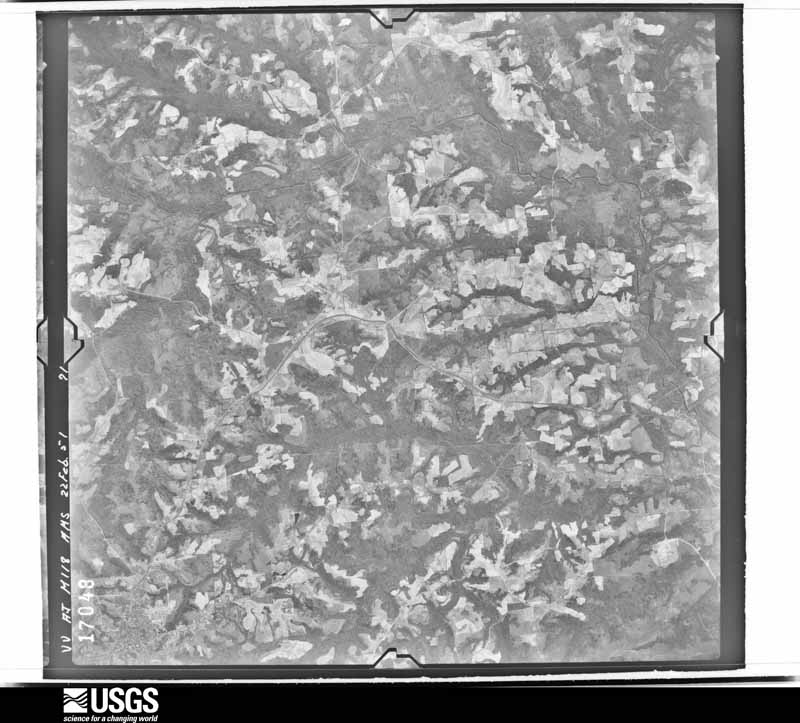
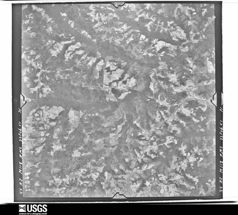
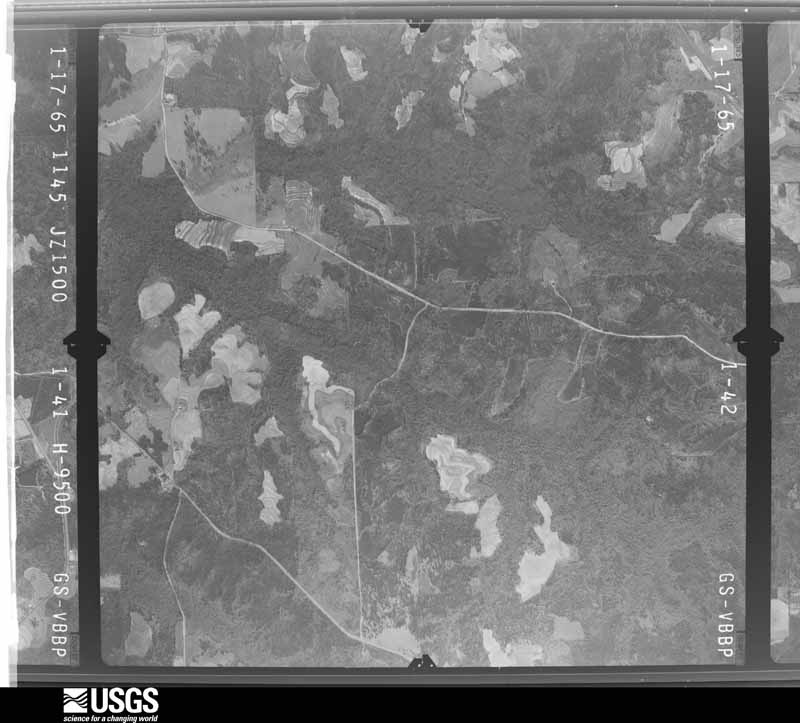
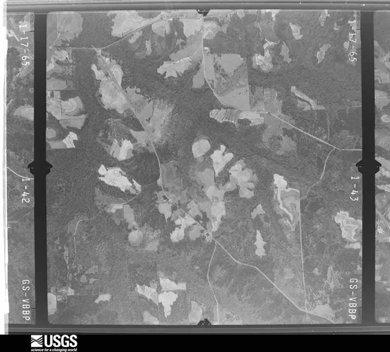
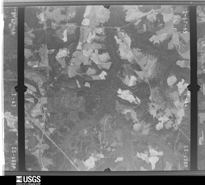
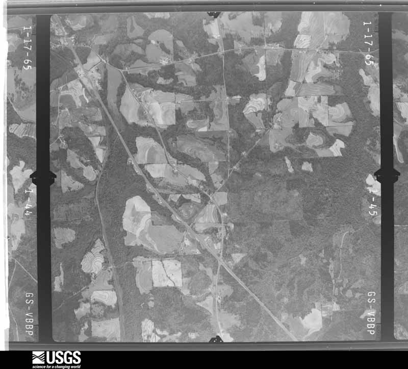
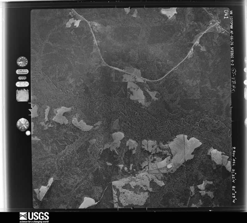
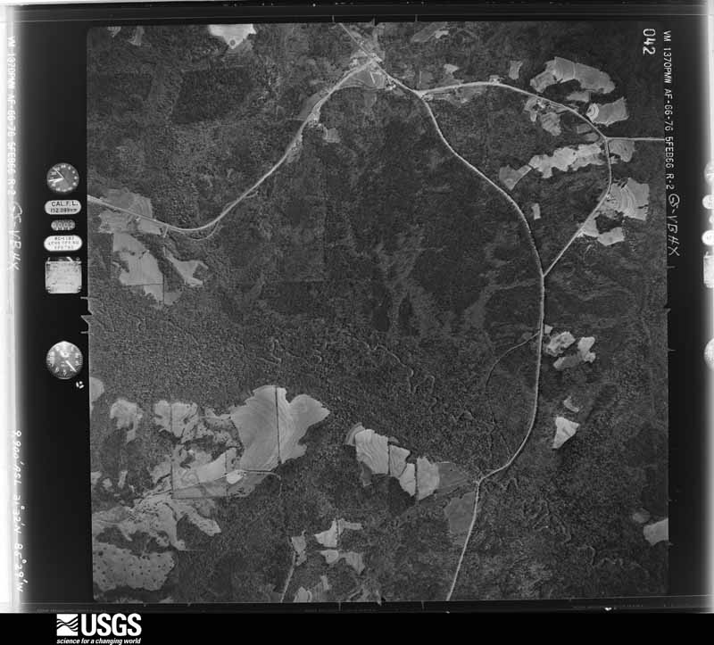
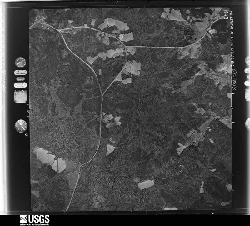
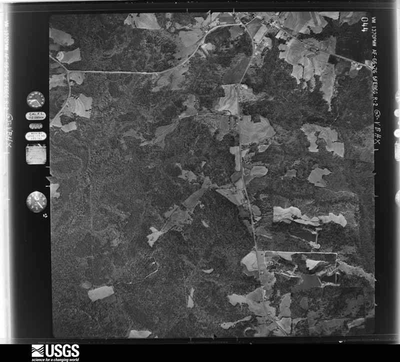
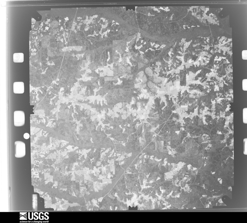
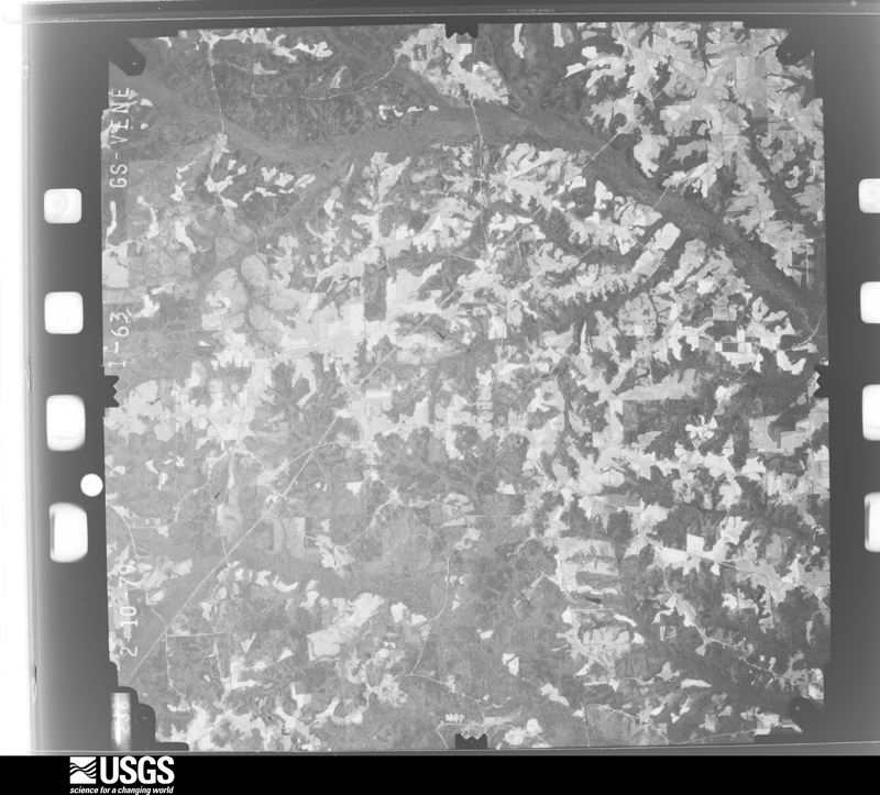
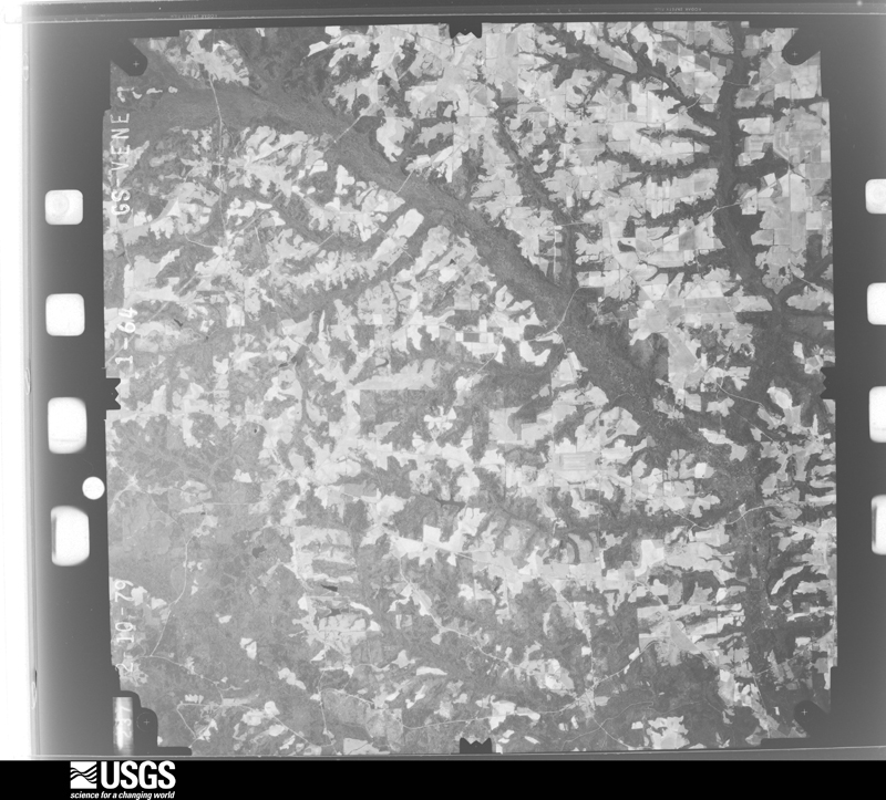
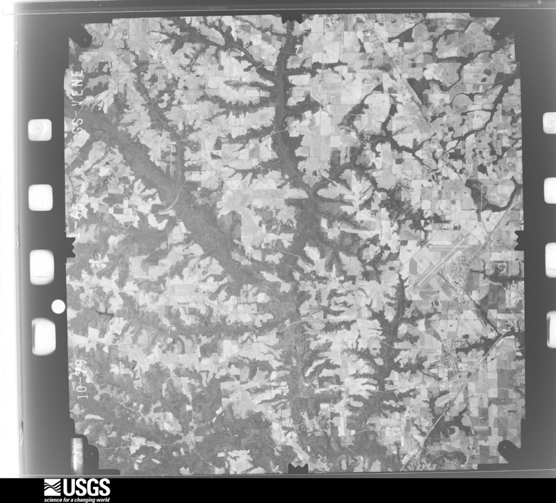
Flown by the U.S. Geological Survey between 1937 and 1989, the Aerial Photo Single Frames collection is the definitive mid-century view of the land: fields, roads and rivers as the camera saw them. The Survey holds 340 frames inside the rectangle that bounds this county; the 16 frames below were taken over the county itself, chosen across the decades of flights (at most four a year from that rectangle), so one flight cannot crowd out the rest. The full set is free to browse and download at EarthExplorer under the dataset Aerial Photo Single Frames.
The thermometers that kept this county's weather, and the gages that measured the flow of its streams, as the federal records hold them. The extremes below are measured values from those records, not estimates.
Who lived here in 1950, one enumeration district at a time, as the Census Bureau described each district. Each row opens its official National Archives result, with Population Schedules and ED Maps available there.
Every wildfire the federal occurrence database records inside this county: 300 of them, burning about 1,737 acres. 11 started naturally and 28 were recorded as arson. Each settlement page carries the fires within five miles of it.
| Reported cause | Fires |
|---|---|
| Debris and open burning | 119 |
| Missing data/not specified/undetermined | 74 |
| Arson/incendiarism | 28 |
| Equipment and vehicle use | 16 |
| Recreation and ceremony | 16 |
| Misuse of fire by a minor | 15 |
| Smoking | 11 |
| Natural | 11 |
| Railroad operations and maintenance | 7 |
| Power generation/transmission/distribution | 2 |
| Other causes | 1 |
The five largest, by the area the report gives. One of them was set deliberately.
| Date | Cause | Size | Reported by | Name on the report |
|---|---|---|---|---|
| 8 March 2006 | Arson/incendiarism | 98 acres | Alabama Forestry Commission | not named |
| 30 June 1998 | Natural | 63 acres | Alabama Forestry Commission | not named |
| 17 April 2011 | Missing data/not specified/undetermined | 63 acres | Alabama Forestry Commission | CO RD 33, AL |
| 6 November 2000 | Debris and open burning | 60 acres | Alabama Forestry Commission | not named |
| 1 March 2002 | Debris and open burning | 60 acres | Alabama Forestry Commission | not named |
| 4 February 2000 | Smoking | 49 acres | Alabama Forestry Commission | not named |
| 13 February 2009 | Debris and open burning | 46 acres | Alabama Forestry Commission | LAKEVIEW DRIVE, AL |
| 28 May 2011 | Equipment and vehicle use | 40 acres | Alabama Forestry Commission | KELLY AVENUE, AL |
Every settlement page carries the fires within five miles of it - see the settlement index below.
The NOAA Storm Events Database holds 601 reports for this county, causing 4 deaths, 161 injuries and about $47,059,050 in recorded property damage. Each settlement page carries the reports that name it.
| Kind of event | Reports |
|---|---|
| Thunderstorm Wind | 444 |
| Hail | 65 |
| Tornado | 43 |
| Flash Flood | 31 |
| Flood | 6 |
| Lightning | 5 |
| Heavy Rain | 5 |
| Funnel Cloud | 2 |
The most serious of them, by death, then injury, then recorded damage. The accounts are quoted exactly as the forecast office filed them.
| When | Event | Place named | Harm | What the report says |
|---|---|---|---|---|
| January 1972 | Tornado (F2) | not stated | 4 killed, 88 hurt, $250,000 | no account filed |
| November 2001 | Tornado (F1) | Daleville | 25 hurt, $3,000,000 | A strong F1 tornado touched down just southwest of Daleville, near the northwest corner of Cairns Army Airfield at Fort Rucker. Several maintenance buildings sustained minor roof damage. One aircraft suffered minor damage from flying sheet metal. The tornado tracked northeast into Daleville and damaged 25 businesses along Highway 85, including a church, gas station, two supermarkets, a bank and several homes. It destroyed a restaurant and two industrial park buildings. The tornado lifted the roof off of the Daleville Inn and Landing Zone Lounge, causing its walls to collapse. Of the 125 patrons inside, 23 suffered minor injuries and two serious injuries. One restaurant was destroyed. Nearly 40 businesses and 1,000 residential customers lost power after the tornado toppled numerous power poles. The intersection of Highways 85 and 134 in Daleville was closed and a curfew was imposed for 24 hours. Fort Rucker damage surveyed by an off-duty Air Force meteorologist and Daleville damage surveyed by the NWS. |
| March 1984 | Tornado (F2) | not stated | 14 hurt, $25,000,000 | no account filed |
| December 1973 | Tornado (F3) | not stated | 14 hurt, $2,500 | no account filed |
| October 1955 | Tornado (F2) | not stated | 5 hurt, $2,500,000 | no account filed |
| March 2007 | Tornado (EF1) | Echo | 4 hurt, $2,500,000 | The tornado touched down southwest of the community of Echo and traveled northeast along State Road 27 before it crossed into western Henry County. The damage assessment indicated that the EF-1 tornado damaged 24 mobile homes and destroyed five others. Four residents of a mobile home were injured when the tornado damaged their mobile home. The tornado also demolished 18 chicken houses, which killed 140,000 chickens. The tornado's path missed the Ft Rucker, Alabama WSR-88D RDA site by less than a quarter mile. Numerous trees and utility poles were snapped. Dale County was declared a federal disaster area. |
| December 1997 | Tornado (F1) | Newton | 4 hurt, $250,000 | Tornado touchdown in Currytown community trailer park along Dale County Road 49, Dean Road, and Alabama 134 between Pinckard and Midland City. Three mobile homes were destroyed and four were heavily damaged. 16-18 residences sustained structural damage. Six barns were leveled and four were damaged. Numerous large trees and power poles down. |
| November 2002 | Tornado (F1) | Echo | 3 hurt, $150,000 | A tornado touched down just north of the intersection of County Road 69 and Highway 27 in northeast Dale County. It damaged several homes, an automobile, and several storage sheds. Three people suffered minor injuries. Two goats were killed by the flying debris. Dale County was declared a state disaster area. Reported by the Dale County EMA. |
| November 2001 | Tornado (F1) | Ewell | 2 hurt, $75,000 | An F1 tornado touched down just south of Ewell and destroyed a double wide mobile home. Its two occupants were seriously injured. Damage surveyed by the NWS. |
| November 1986 | Tornado (F3) | not stated | 1 hurt, $2,500,000 | no account filed |
| April 1954 | Tornado (F2) | not stated | 1 hurt, $25,000 | no account filed |
| December 1973 | Tornado (F3) | not stated | $2,500,000 | no account filed |
| December 2000 | Tornado (F2) | Pinckard | $2,000,000 | The F0 tornado moved northeast from extreme western Houston County into southeast Dale County. It rapidly intensified to an F2 tornado as it continued its intermittent track into the eastern portion of the county. A Midland City church annex lost parts of its roof and walls. Several homes in the Doe Run Subdivision south of Pinckard were destroyed and numerous others were damaged. In Pinckard, numerous trees and power lines were down. Many homes and businesses were damaged, some seriously. The tornado tracked northeast into western Henry County. Reported by the Dale County EMA. |
| October 1997 | Tornado (F1) | Echo | $1,000,000 | F1 tornado struck a chicken farm at Alabama Highway 27 and Dale County Road 67. Six of eight chicken houses were destroyed. Approximately 25,000 chickens were killed. |
| January 2006 | Tornado (F0) | Level Plains Xrds | $500,000 | A severe thunderstorm spawned a weak tornado which heavily damaged four chicken houses. It also damaged a rental house on the northeast side of Dale County 1. Debris was strewn across a field east of Dale County 1. Power lines were down across U.S. Highway 84. Residents along Joe Bruer Road, northeast of the chicken houses, reported broken limbs. Reported by the Dale County EMA. |
| August 2006 | Thunderstorm Wind | Countywide | $500,000 | Numerous trees and power lines down throughout the county. Several homes were damaged by fallen trees. Midland City was hardest hit, with several buildings damaged along 4th Street. Two homes and a gazebo in front of the town hall were damaged. There were extensive power outages throughout the city, which lasted up to nine hours. Three miles east of Midland City, the Napier Field Police reported many trees and power lines down. A tree fell onto a roof of a home off State Highway 134 and the skirt of a single-wide trailer was blown off. In Pinckard, Alabama Power reported three major high voltage power lines down. |
| April 2015 | Thunderstorm Wind | Ozark | $348,000 | Numerous trees and power lines were blown down. The preliminary damage estimate is $347,500. |
| April 2007 | Tornado (EF1) | Ozark | $250,000 | A tornado touched down on County Road 38 producing minor damage to a barn. It then traveled east across Marley Mill Road and destroyed a barn, shed and greenhouse. A residential gable collapsed and several pines were snapped. A few homes on Hawridge Road in the Post Oak community suffered moderate damage. Also, a carport and shed were destroyed. A portion of County Road 50 was closed due to debris. Also, a home on Robin Parker Road was damaged when several pines snapped, with one landing on the roof. Several areas, especially along Roy Parker Road, were without power for several hours until crews could repair lines taken down by fallen trees. |
| November 1986 | Tornado (F1) | not stated | $250,000 | no account filed |
| January 1968 | Tornado (F1) | not stated | $250,000 | no account filed |
| March 2024 | Tornado (EF1) | Mabson | $200,000 | An NWS team conducted a combined aerial and ground survey. Aerial imagery indicated that the tornado touched down in a wooded area just west of Mabson Abry Road in Mabson, AL, snapping trees and causing significant damage to the roof of an outbuilding. The ground crew noted extensive tree damage along Mabson Abry Road, Caldonia Way and East County Road 36. A couple of utility poles were also snapped in this area. Aerial photographs indicated tree damage continued through a forested area between Mabson Abry Road and CR 33. The ground crew noted minor roof damage to a manufactured home near the intersection of Herman Strickland Road. Several more trees were snapped or uprooted further north along CR 33. Further east, more tree damage occurred on Herman Strickland Road where most of the structural damage was also noted. One home saw over 50% of its roofing material removed and a well-built outbuilding in the back yard had its doors blown in. The roof suffered some damage as well. Snapped trees were noted extending west into the woods. Further up the road, a home suffered the removal of its roof on the southern end of the house and the destruction of the back porch, much of which wound up on the roof. A large outbuilding in the back yard was shifted off its foundation. A neighboring home suffered similar damage to its house and large outbuilding. The tornado was at its strongest at this point with wind speeds estimated at 105 mph, which is EF-1 strength. Aerial photos indicated that tree damage occurred a bit further north along Herman Strickland Road and then east through a forested area, including the Cedar Creek, and then along CRs 335 and 337. The tornado then lifted before reaching Ward Creek. |
| December 2015 | Flood | Highway 231 Pea River Bridge | $178,000 | Significant river flooding along the Pea and Choctawhatchee Rivers and heavy rainfall in the county resulted in flood damages estimated at $178,000 in Dale county, mainly to roads and bridges. The Pea River at Ariton established a new record crest. In addition, 4 residents and 1 business were flooded and 1 cross drain was washed out. |
| October 2008 | Tornado (EF0) | (Ozr)Ft Rucker Aaf | $150,000 | The same supercell which spawned the EF-1 tornado in Enterprise moved to the east-northeast and produced a brief tornado on the southwest|side of the Fort Rucker military base, near the intersection of Andrews Ave and Airport Road. It damaged several vehicles and a few homes, and downed numerous trees before it lifted. The tornado was rated an EF-0 with winds estimated from 75 to 80 mph. |
| September 1998 | Tornado (F0) | Echo | $150,000 | An F0 tornado briefly touched down at the intersection of CR 40 and 7 near the Dale-Henry County line.Numerous trees were uprooted and a pump house was destroyed. |
| October 1997 | Thunderstorm Wind | Midland City | $150,000 | Severe thunderstorm winds caused minor roof damage to several homes. |
| October 1997 | Tornado (F1) | Clayhatchee | $150,000 | A small F1 tornado destroyed a barn on Alabama Highway 92. A neighboring house sustained minor damage. Several trees were uprooted. |
| August 2021 | Tornado (EF0) | Midland City | $100,000 | A tornado touched down on the ground of Dale County High School, damaging aluminum bleachers and one dugout. The tornado crossed County Road 59 and caused roof damage to numerous roofs in the adjacent neighborhood. Video on social media showed several trampolines being lofted into the air. Several oak trees were blown over on Dale Circle, damaging one home, before the tornado dissipated. Max winds were estimated at 85 mph. |
| April 2020 | Tornado (EF1) | Dale County Lake | $100,000 | An EF1 tornado touched down in Ozark and tracked east into Henry county. Max winds were estimated at 105 mph. Most of the damage was snapped trees and some roof damage in Ozark. |
| June 2009 | Thunderstorm Wind | Dillard | $100,000 | Trees and power lines were down. A house on Coby Drive house in southwest Ozark was severely damaged from a fallen tree. |
| February 2008 | Thunderstorm Wind | Ariton | $100,000 | One barn was destroyed and a residence was heavily damaged. |
| July 2009 | Lightning | Ewell | $75,000 | Lightning from an early morning thunderstorm struck a mobile home on County Road 20 southeast of Ozark. The resultant blaze destroyed the structure. |
| March 1998 | Thunderstorm Wind | Ozark | $70,000 | One half of tin roof blown off a furniture manufacturing plant one mile north of Ozark. Numerous large tree limbs snapped near Industrial Park. Quarter sized hail and wind gusts to 47 mph observed by EOC officials in Ozark. Lightning struck and destroyed a home four miles northeast of Ozark. |
| January 2026 | Thunderstorm Wind | Midland City | $50,000 | A trailer was reported to be flipped and damaged. |
| April 2020 | Thunderstorm Wind | Marley Mill | $50,000 | Multiple trees were blown down with two reports of trees on houses. |
| April 2020 | Thunderstorm Wind | Skipperville | $50,000 | Homes were damaged in the Skipperville area. |
| April 2020 | Thunderstorm Wind | Echo | $50,000 | Trees and power lines were down with structural damage in the Echo area. |
| April 2014 | Flood | Clopton | $50,000 | Moderate to heavy rain fell across Dale county over a long period of time. Given that 4 to 6 inches of rain had occurred during the prior week, the ground was saturated and areal flooding resulted. Several roads were closed and damaged due to the flooding, including most of the dirt roads in the county. Some roads affected included CR15, CR560, Waterford, Hopeful Church, and Gissendanner. The county engineer estimated at least $50,000 in road damage. |
| February 2009 | Lightning | Fort Rucker | $50,000 | A house was struck by lightning. The resultant fire caused moderate damage to the structure. |
| October 2008 | Tornado (EF0) | Ozark | $50,000 | The parent supercell which spawned the EF-0 and EF-1 tornadoes, produced another tornado about 5 miles south of Ozark near Logan Road, where it tore the roof off a barn and a home. It then moved east-northeast toward State Road 123 before lifting. The tornado was rated an EF-0 with winds estimated at 80 mph. |
| August 2008 | Thunderstorm Wind | Daleville | $50,000 | Straight line winds caused minor structural damage at the Daleville Industrial Park. |
| August 2006 | Lightning | Newton | $50,000 | Lightning struck a home near the intersection of State Highway 123 and County Road 43. The resultant fire destroyed the structure. Reported by the Dale County EMA. |
| April 2000 | Thunderstorm Wind | Skipperville | $50,000 | Several downed trees and damaged utility buildings reported by the Dale County EMA. |
| August 2012 | Heavy Rain | Ozark | $30,000 | The Dale county library's roof collapsed on August 9th due to heavy rain of around 9 inches from the previous couple of days. The heaviest rain fell during the early morning hours of August 7th. Monetary damage was estimated. |
| August 2008 | Tornado (EF1) | Arguta | $30,000 | A tornado touched down near the intersection of County Roads 19 and 15, about three miles northwest of Skipperville. Several trees were uprooted and a barn was heavily damaged. |
| August 2005 | Thunderstorm Wind | Ozark | $30,000 | The Dale County EMA reported numerous trees and power lines down in Ozark. Power was out in the downtown area for several hours. The 911 operations center was on backup generator. |
| June 1998 | Thunderstorm Wind | Countywide | $30,000 | A barn was blown over Alabama Highway 27 north of Echo. A person was seriously injured when a tree fell on a vehicle. Nine grass fires were sparked by fallen power lines in Ozark. Numerous power outages reported. |
| March 2025 | Tornado (EF0) | Midland City | $25,000 | A brief EF0 touched down with numerous large limbs and tops of tree torn down, a neighbors shed flipped over, and a fence blown over. This damage coincided with a TDS on radar crossing S County Road 59. |
| January 2017 | Thunderstorm Wind | Ozark | $25,000 | A tree fell on a car on Matthews Ave. Damage cost was estimated. |
| June 2016 | Thunderstorm Wind | Ariton | $25,000 | Numerous trees and power lines were blown down in the Ariton area. Highway 51 was blocked. There was also roof damage to a building. Damage was estimated. |
| June 2009 | Thunderstorm Wind | Skipperville | $25,000 | The Country Crossroads in Skipperville sustained roof damage. |
| April 2009 | Thunderstorm Wind | Ariton | $25,000 | Thunderstorm winds tore off siding, damaged a carport and peeled the roof off a mobile home on Phillips Road south of Ariton. |
| January 2007 | Tornado (F0) | Ozark | $25,000 | A weak tornado touched down briefly near Marley Mill. It damaged two structures and uprooted several trees on Marley Mill Road. |
| July 2007 | Thunderstorm Wind | (Dhn)Dothan Arpt | $25,000 | A 59-mph wind gust was recorded at Napier Field. Straight-line winds damaged a home. Numerous trees and power lines were down. 75 residents were without power for five hours. |
| July 2000 | Thunderstorm Wind | Southeast Portion | $25,000 | A 25' X 25' metal building was destroyed and several trees were down off U.S. Highway 27 north of State Road 54. Reported by the Dale County EMA. |
| September 1998 | Tornado (F0) | Ozark | $25,000 | An F0 tornado briefly touched down on the north side of Ozark off Marvin Parker Rd and CR 68 uprooting trees and power poles. |
| May 1984 | Tornado (F2) | not stated | $25,000 | no account filed |
| April 1974 | Tornado (F0) | not stated | $25,000 | no account filed |
| May 1973 | Tornado (F1) | not stated | $25,000 | no account filed |
| April 2003 | Thunderstorm Wind | Ozark | $20,000 | A convenience store was damaged. Reported by the Dale County EMA. |
| December 2002 | Thunderstorm Wind | Newton | $20,000 | Minor roof damage to a residence. Reported by the Dale County EMA. |
The Survey's mineral resources record lists 14 workings inside this county. 6 still produce and 8 are closed or unrecorded. Each settlement page carries the workings within five miles of it.
| Commodity | Workings |
|---|---|
| Sand and Gravel, Construction | 5 |
| Clay | 5 |
| Silica | 1 |
| Sand and Gravel, Construction, Clay | 1 |
| Silica, Sand and Gravel, Construction | 1 |
| Iron | 1 |
The least common of them first, because a county's hundredth gravel pit says nothing its first ten did not.
| Where | Site | Commodity | Status | Recorded |
|---|---|---|---|---|
| 231 North Quarry | Sand and Gravel, Construction, Clay | Producer | Unconsolidated Sediments | |
| Clayhatchee Quarry | Silica, Sand and Gravel, Construction | Producer | Quartz | |
| Unnamed | Iron | Unknown | ||
| Unnamed Quarry | Silica | Producer | Quartz | |
| Couch Construction Co. Pit | Sand and Gravel, Construction | Past Producer | ||
| Dal 1 Clay Prospect | Clay | Prospect | ||
| Dal 2 Clay Prospect | Clay | Prospect | ||
| Dal 3 Clay Prospect | Clay | Prospect | ||
| Dal 5 Clay Prospect | Clay | Prospect | ||
| Garner Quarry | Sand and Gravel, Construction | Producer | Quartz | |
| Gray Quarry | Sand and Gravel, Construction | Producer | Quartz | |
| Newton Pit | Sand and Gravel, Construction | Producer | ||
| Rosser Brick Co. Pit | Clay | Past Producer | ||
| Spiegner Sand and Gravel Pit | Sand and Gravel, Construction | Past Producer |
Named settlements recorded in the Geographic Names Information System, each with the topographic sheets covering it. Villages, hamlets and abandoned places alike. Each is shown with the nearest named watercourse or landform and the survey quadrangle it falls on. The 1 place that was also surveyed for fire insurance comes first, with the number of atlases and photographs held for them.
Ozark census division · 36360 · Ozark quadrangle
12 sheets, 1942 to 1981
Fire insurance: 7 atlases
Fort Novosel census division · 36362 · On Four Mile Creek · Daleville quadrangle
13 sheets, 1942 to 1981
Ozark census division · 36360 · On Dry Branch · Skipperville quadrangle
7 sheets, 1953 to 1981
Ozark census division · 36360 · On Cotton Creek · Skipperville quadrangle
7 sheets, 1953 to 1981
Ozark census division · 36360 · On Little Judy Creek · Skipperville quadrangle
7 sheets, 1953 to 1981
Fort Novosel census division · 36362 · On Steep Head Creek · Daleville quadrangle
13 sheets, 1942 to 1981
Echo census division · 36360 · On Middle Creek · Ewell quadrangle
13 sheets, 1942 to 1981
Daleville census division · 36322 · On Brackin Mill Creek · Clayhatchee quadrangle
12 sheets, 1942 to 1981
Newton-Midland City census division · 36352 · Daleville quadrangle
13 sheets, 1942 to 1981
Daleville census division · 36330 · On Cowpen Creek · Enterprise quadrangle
12 sheets, 1942 to 1981
Daleville census division · 36330 · On Harrand Creek · Enterprise quadrangle
12 sheets, 1942 to 1981
Newton-Midland City census division · 36322 · On Brooking Mill Creek · Daleville quadrangle
13 sheets, 1942 to 1981
Newton-Midland City census division · 36350 · Midland City quadrangle
8 sheets, 1953 to 1981
Fort Novosel census division · 36362 · On Harrand Creek · Daleville quadrangle
13 sheets, 1942 to 1981
Newton-Midland City census division · 36303 · Midland City quadrangle
8 sheets, 1953 to 1981
Newton-Midland City census division · 36352 · On Hurricane Creek · Pinckard quadrangle
14 sheets, 1942 to 1981
Ozark census division · 36360 · On Klondike Creek · Pinckard quadrangle
14 sheets, 1942 to 1981
Ozark census division · 36360 · On Bear Creek · Ozark quadrangle
12 sheets, 1942 to 1981
Ozark census division · 36374 · On Roberts Branch · Skipperville quadrangle
7 sheets, 1953 to 1981
Ozark census division · 36311 · On Tanyard Branch · Brundidge SE quadrangle
11 sheets, 1948 to 1981
Ozark census division · 36374 · On Burnt Mill Branch · Skipperville quadrangle
7 sheets, 1953 to 1981
Newton-Midland City census division · 36350 · On Seabes Creek · Midland City quadrangle
8 sheets, 1953 to 1981
Ozark census division · 36360 · On Killebrew Factory Creek · Pinckard quadrangle
14 sheets, 1942 to 1981
12 topographic sheets and 7 fire insurance atlases, 1893 to 1943