 Block
From the record
15 National Register listings published here.
Sources: the National Register database, National Park Service
122 topographic sheets and 18 fire insurance atlases across 3 places.
15 National Register listings published here.
Sources: the National Register database, National Park Service
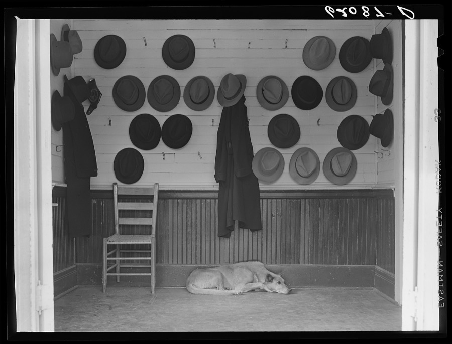
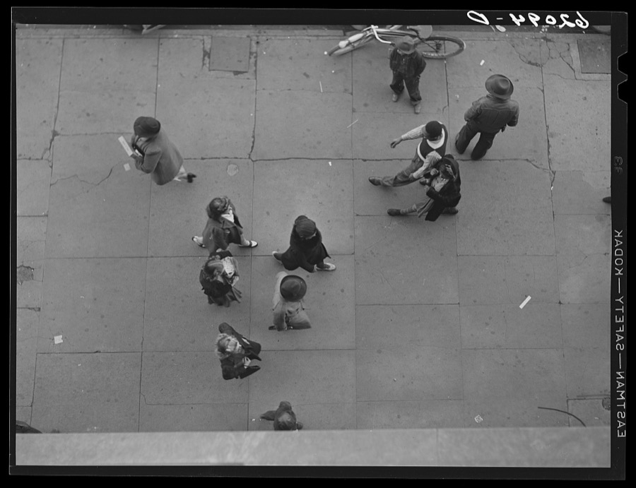
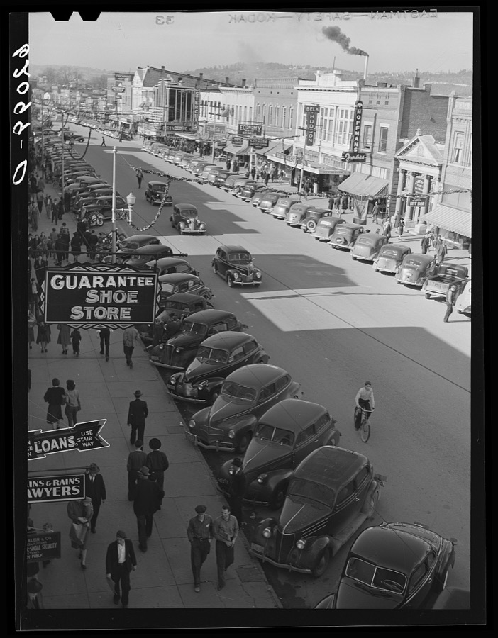
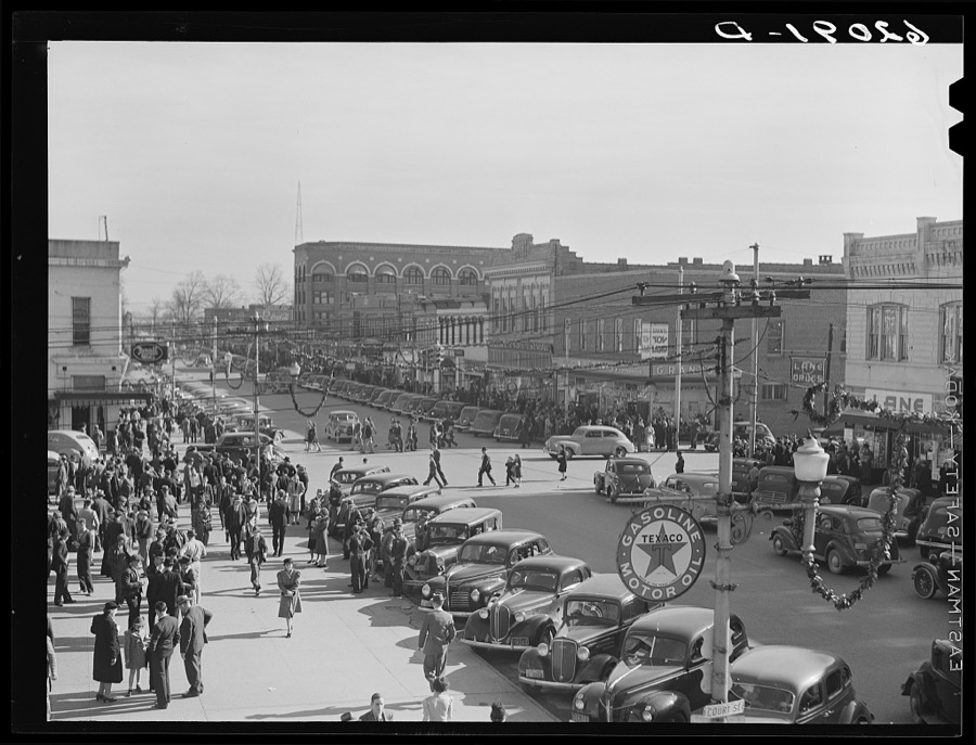
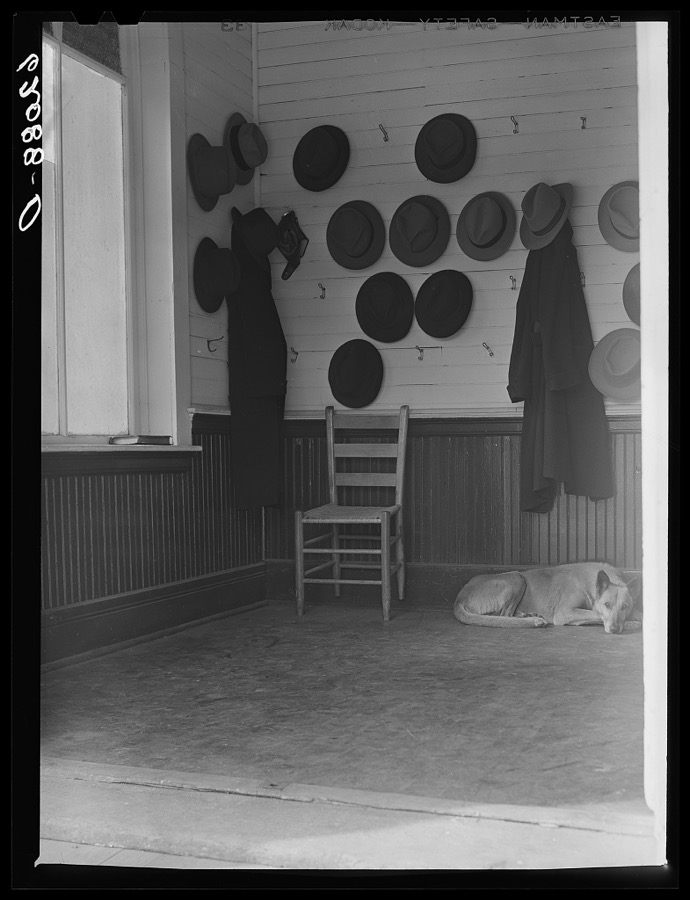
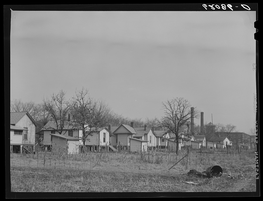
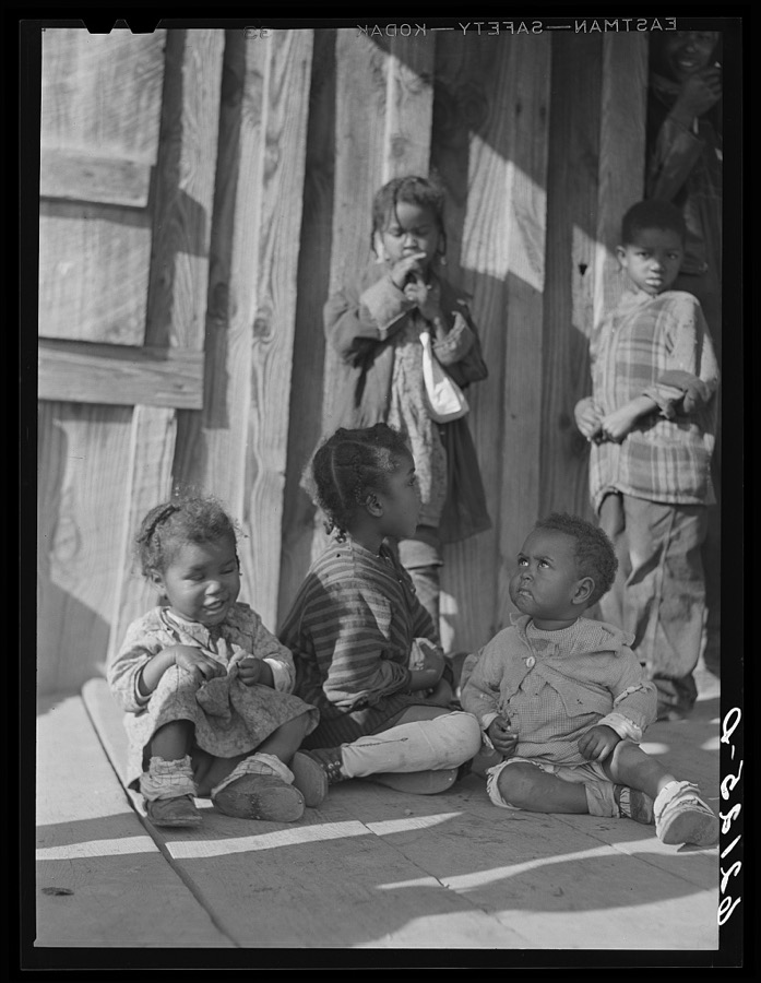
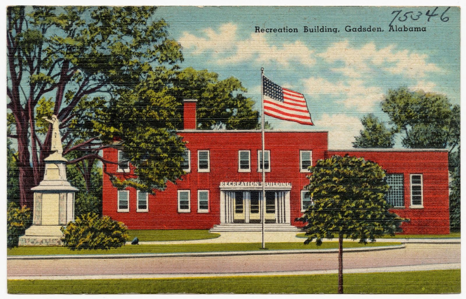
Taken for the Office of War Information and the Farm Security Administration, who photographed the country between 1935 and 1944. Works of United States government photographers, with no known restriction on use. Each opens its catalogue record.
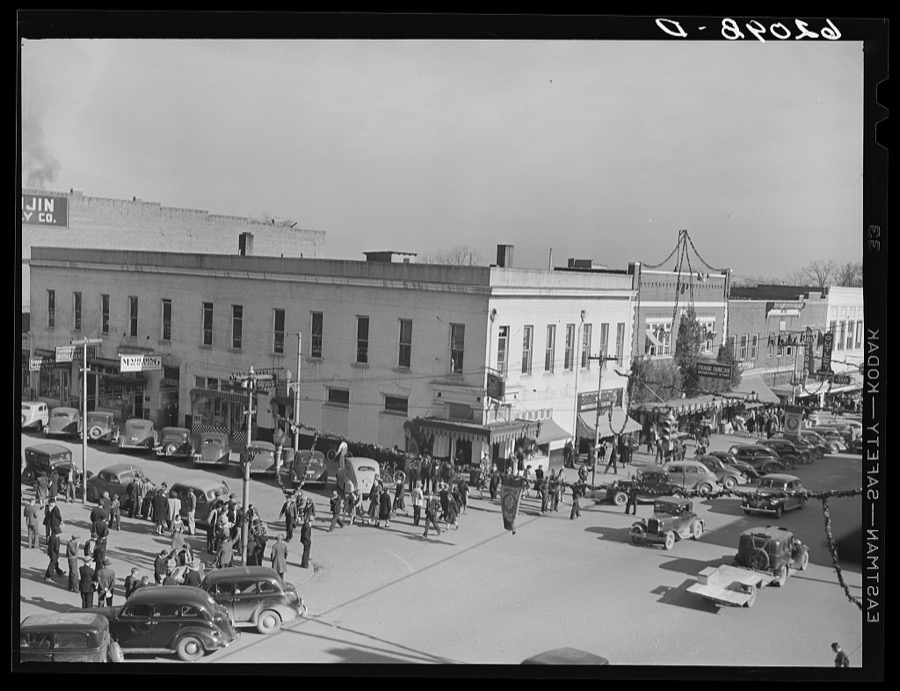
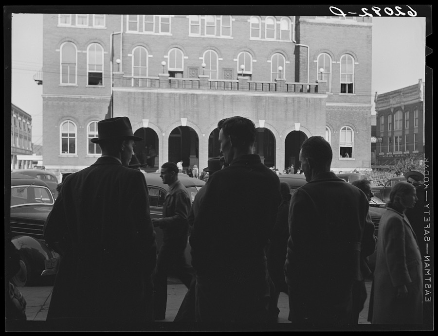
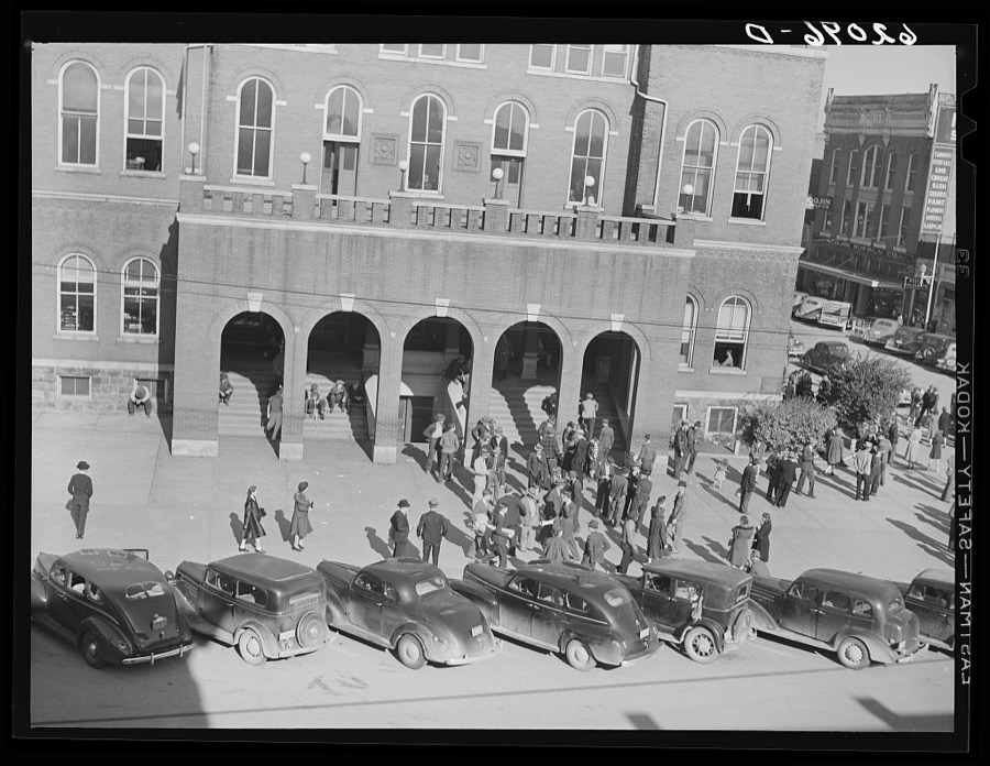
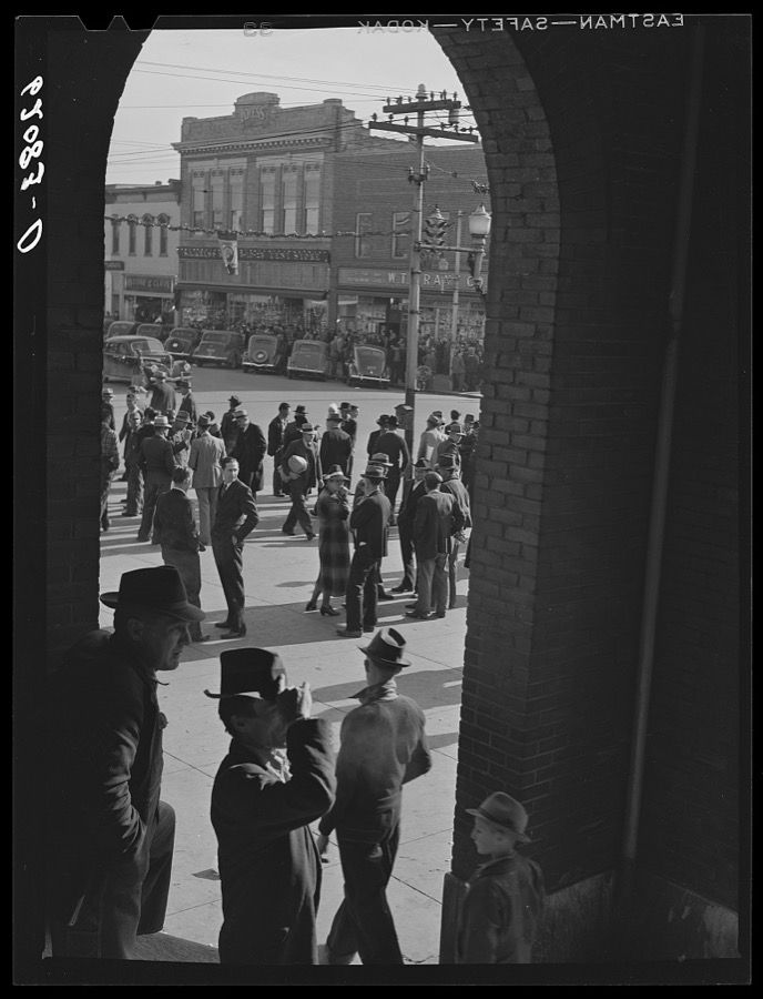

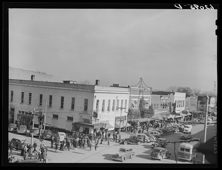
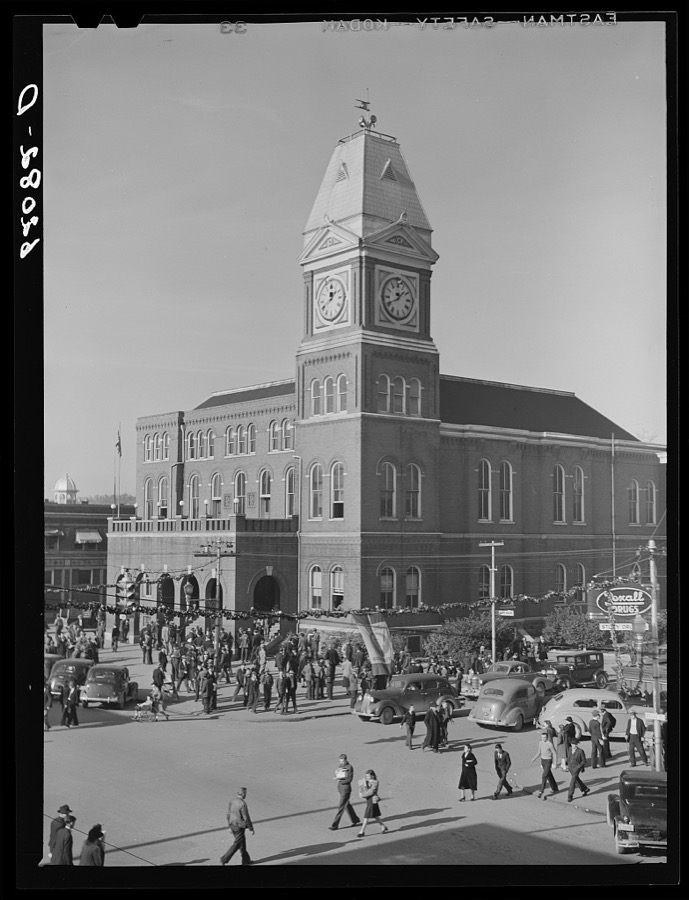
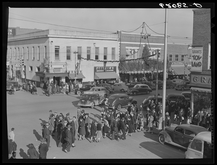
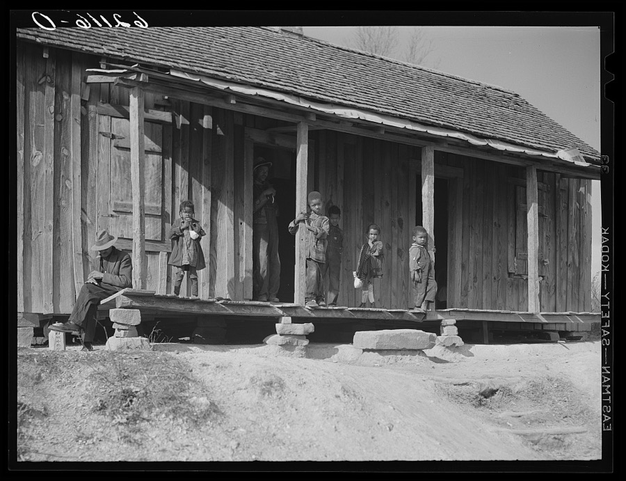
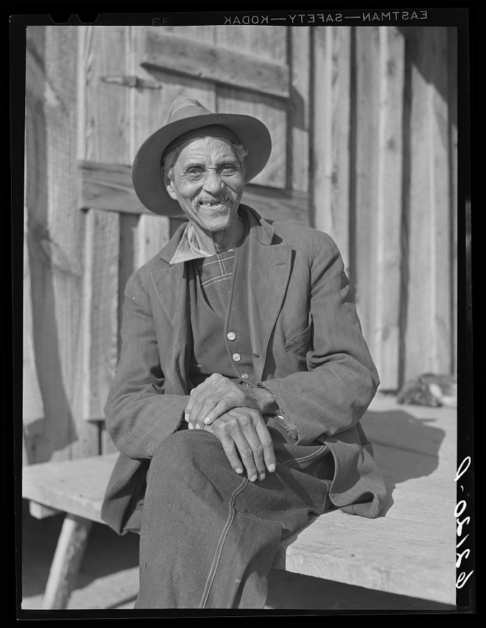
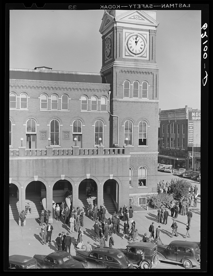
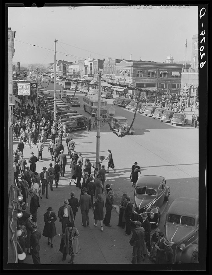

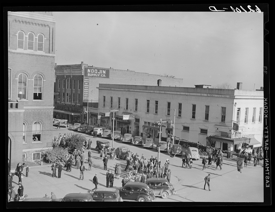
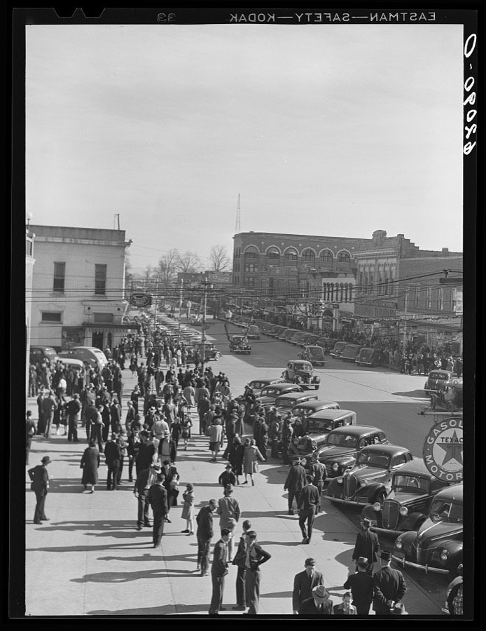

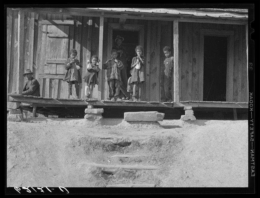
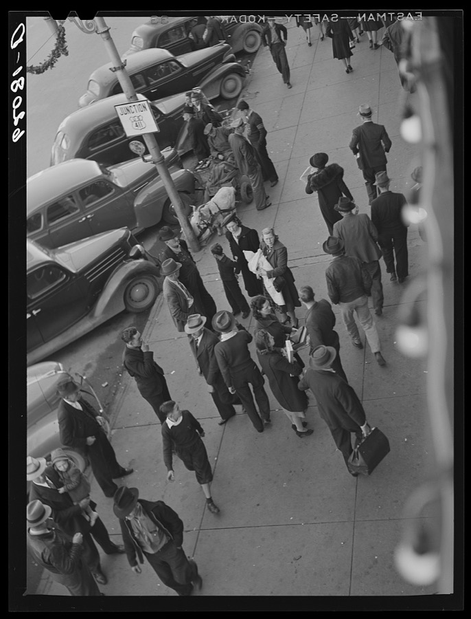
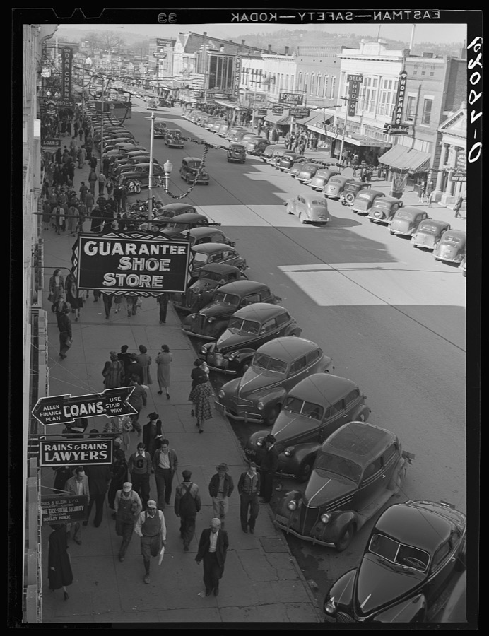

Every property in this county listed on the National Register of Historic Places, with the year it was listed and the federal nomination document.
| Photograph | Property | Type | Listed | Reference |
|---|---|---|---|---|
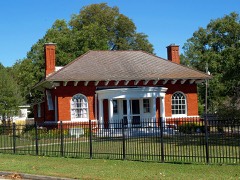 | Alabama City Library | building | 1974 | 74000410 |
 | Alabama City Wall Street Historic District | district | 2002 | 02000484 |
 | Attalla Downtown Historic District | district | 2013 | 13000893 |
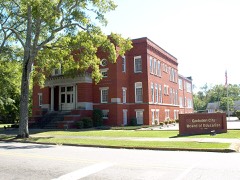 | Eleventh Street School | building | 1984 | 84000616 |
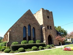 | Forrest Cemetery Chapel and Comfort Station | district | 1992 | 92001069 |
| Gadsden Coca-Cola Bottling Plant | building | 2023 | 100009569 | |
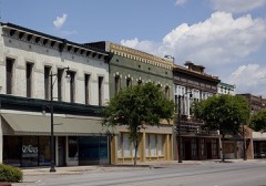 | Gadsden Downtown Historic District | district | 1997 | 97001165 |
 | Gadsden Times-News Building | building | 1983 | 83002967 |
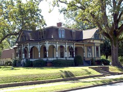 | Charles Gunn House | building | 1993 | 93000052 |
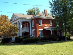 | Col. O. R. Hood House | building | 1986 | 86001000 |
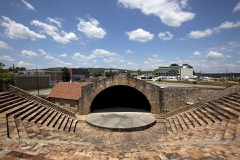 | Legion Park Bowl | structure | 1988 | 88001581 |
| Noojin House and Bellevue-Mineral Springs Hotel Site | district | 2023 | 100008433 | |
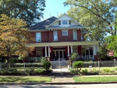 | Turrentine Historic District | district | 2005 | 05000649 |
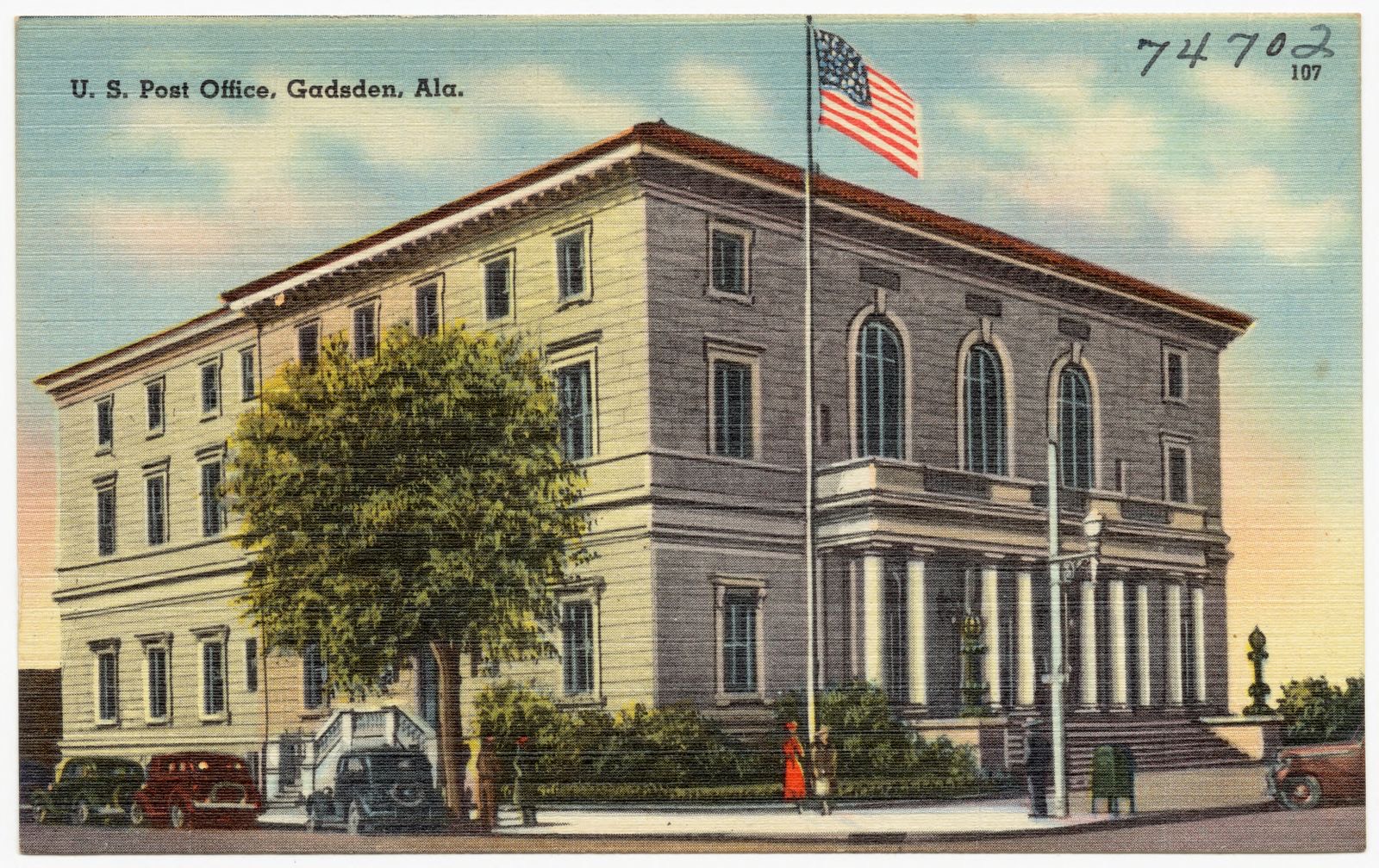
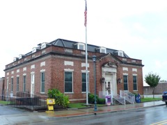 | U.S. Post Office | building | 1983 | 83002968 |
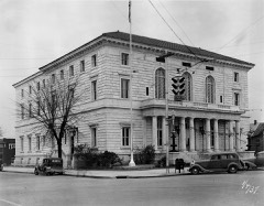 | U.S. Post Office | building | 1976 | 76000325 |
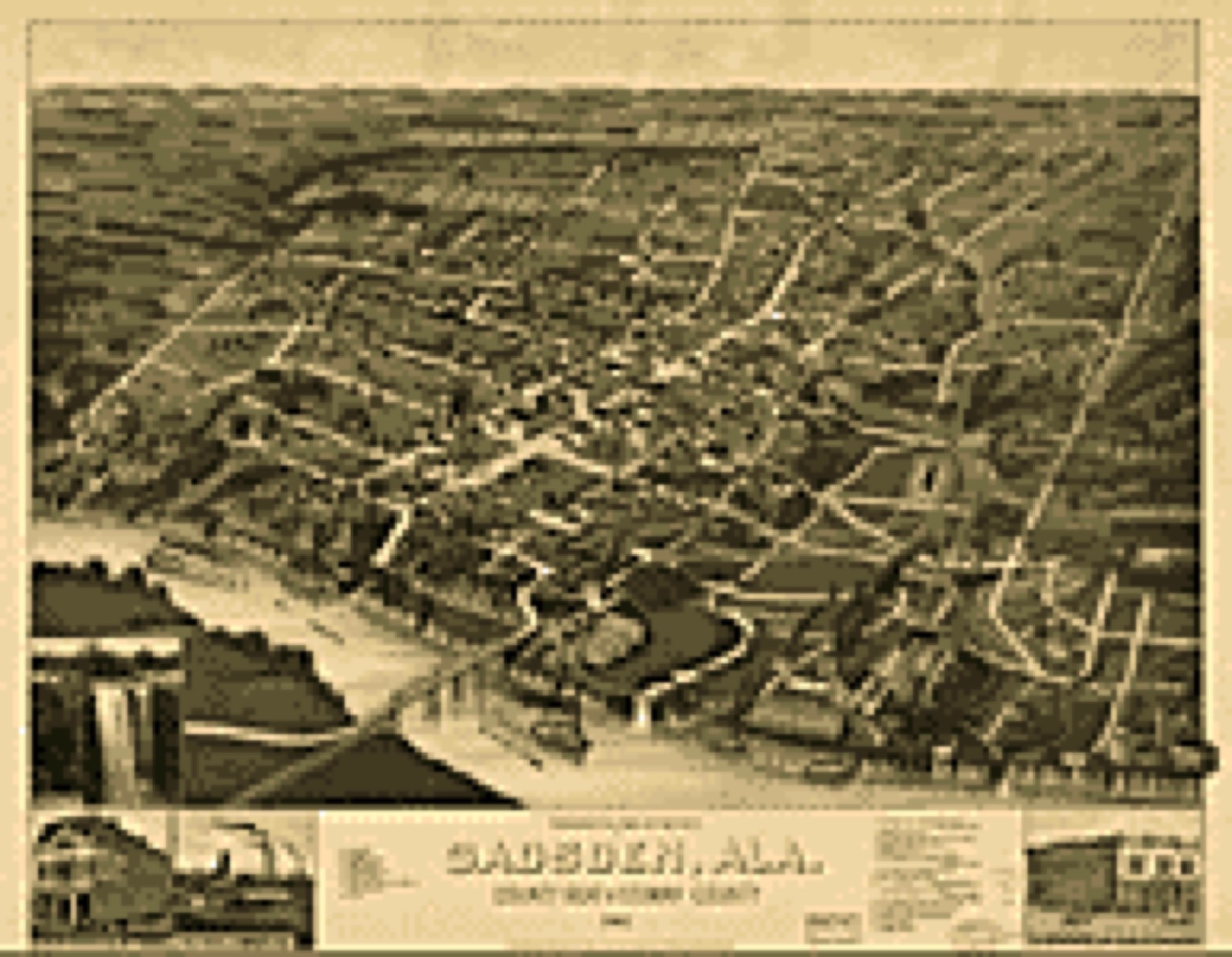
Drawn when these were printed as single large sheets: the town seen from the air, and the county divided into its farms with every owner named. Each opens the original at the Library of Congress.
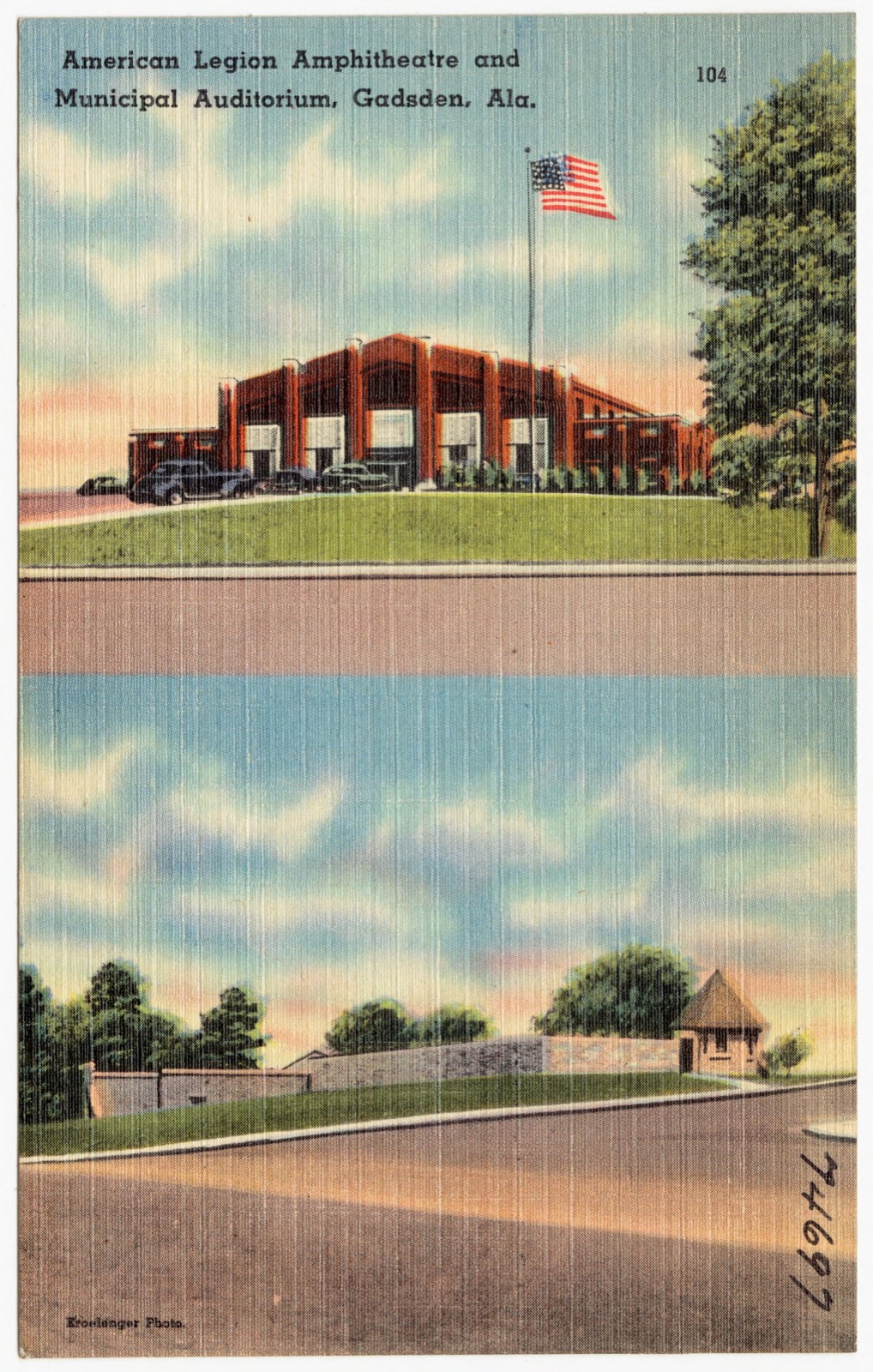
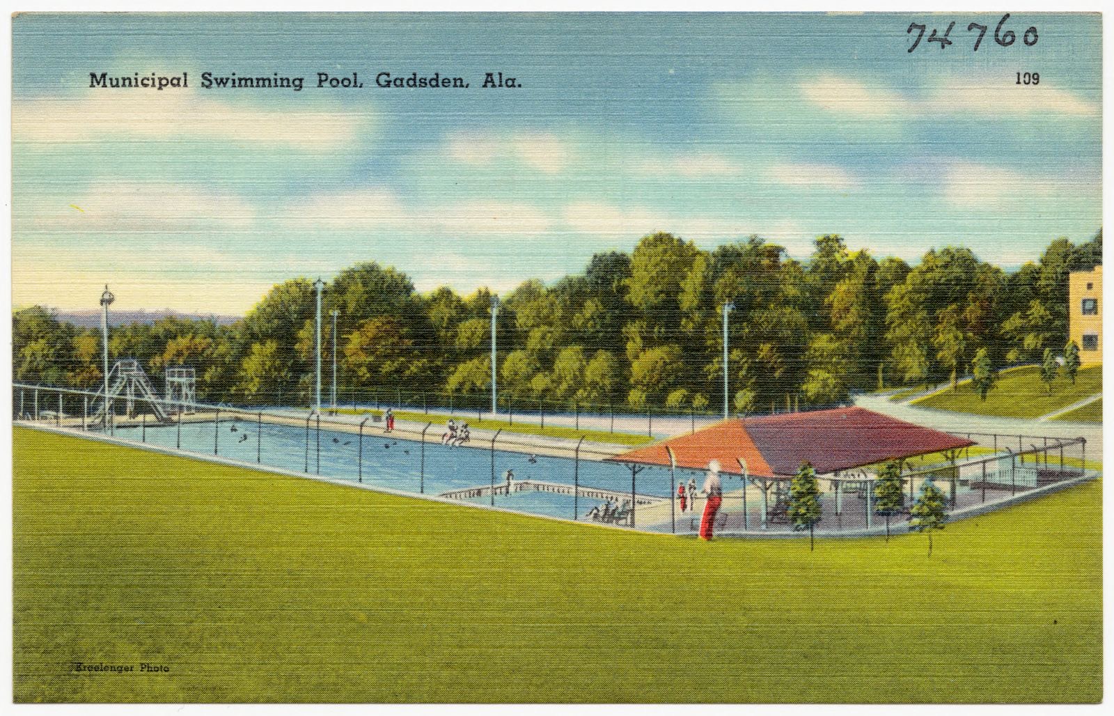
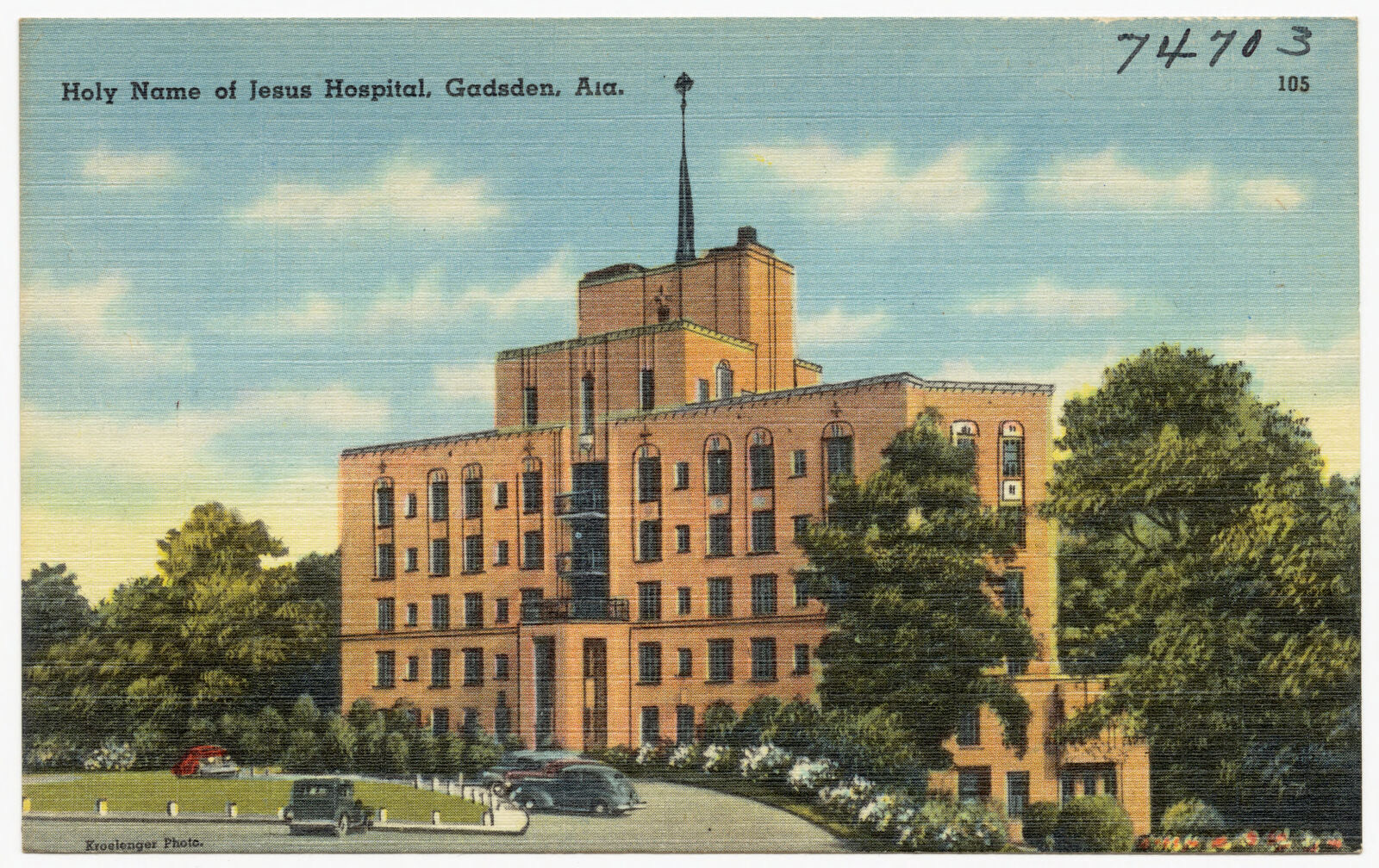
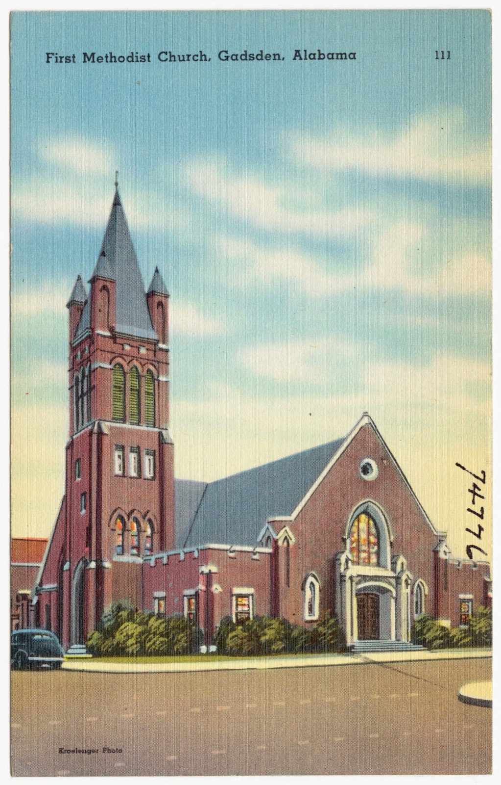
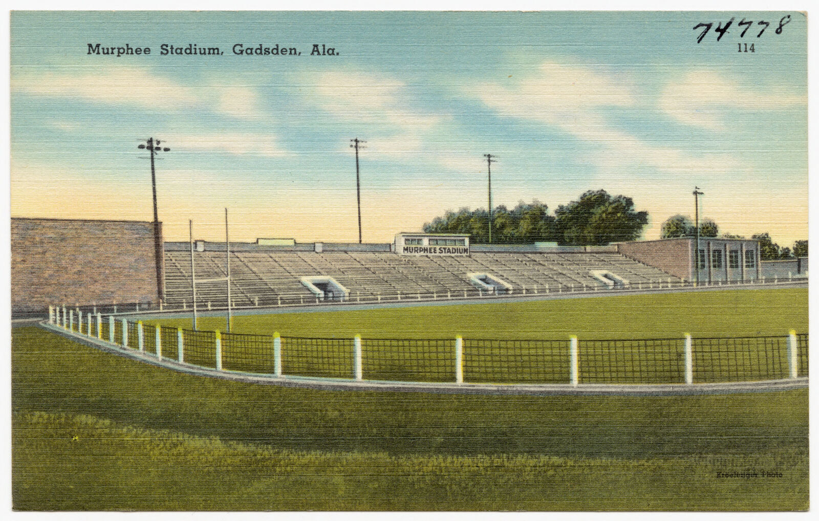
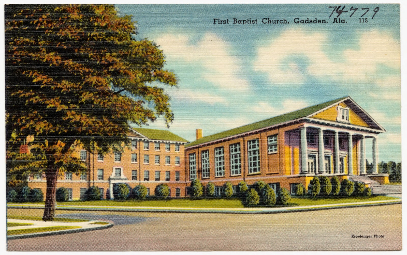
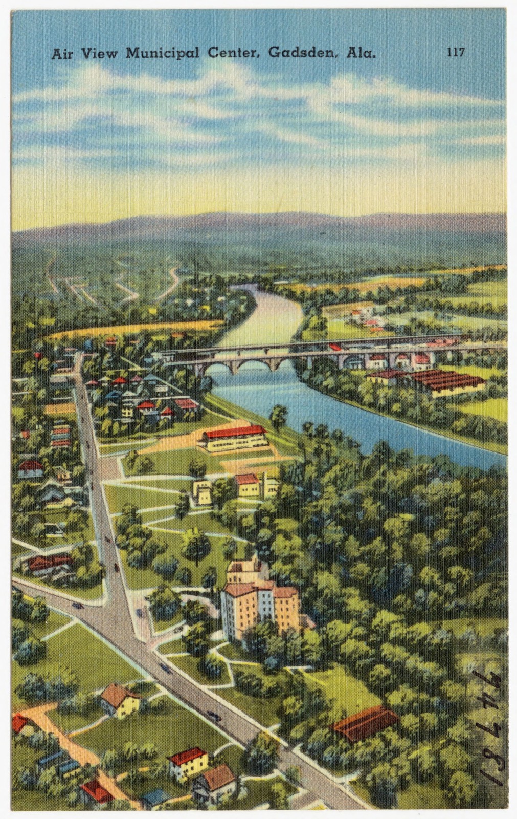
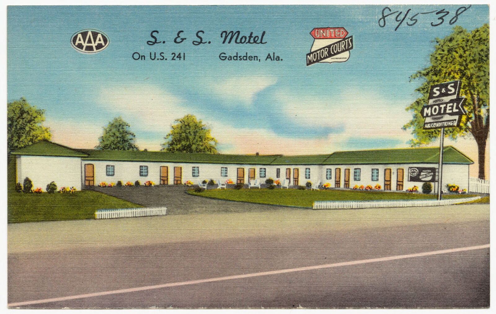
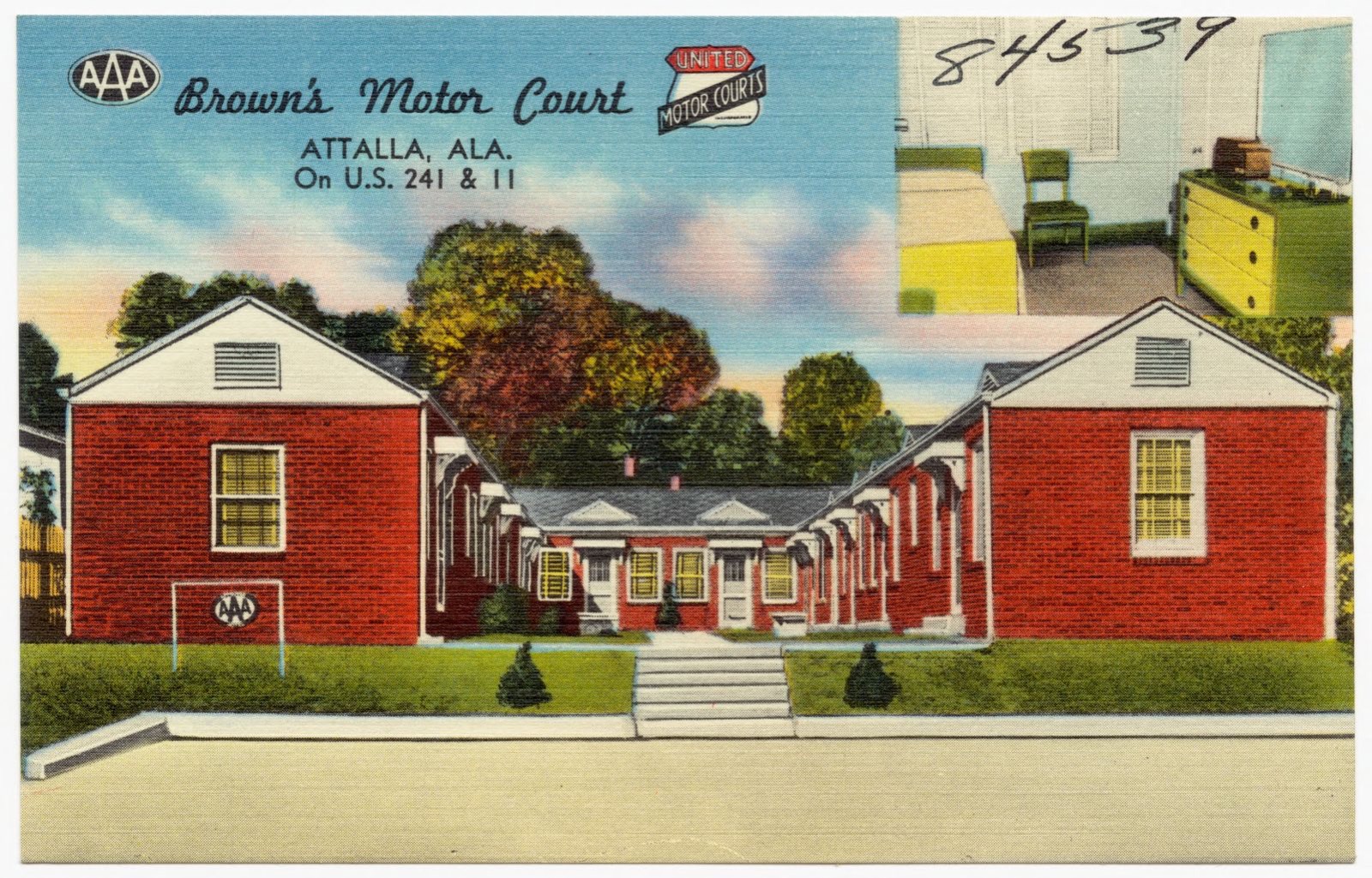
Selected from the Digital Public Library of America's 22 image records catalogued for this county. Every one shown here carries a public-domain status or a licence that permits reuse on a site that carries advertising; non-commercial, share-alike and restricted images are excluded. The selection is spread across the county's towns (at most eight per town), so no single institution's bulk upload crowds out the rest. Each opens the holding library's record, and the complete set at the Digital Public Library of America is one click away.
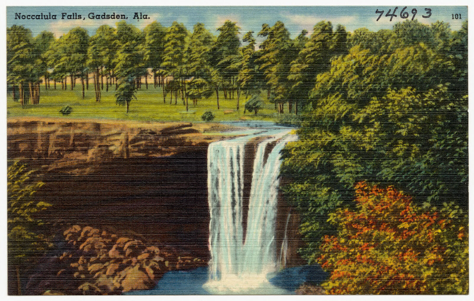
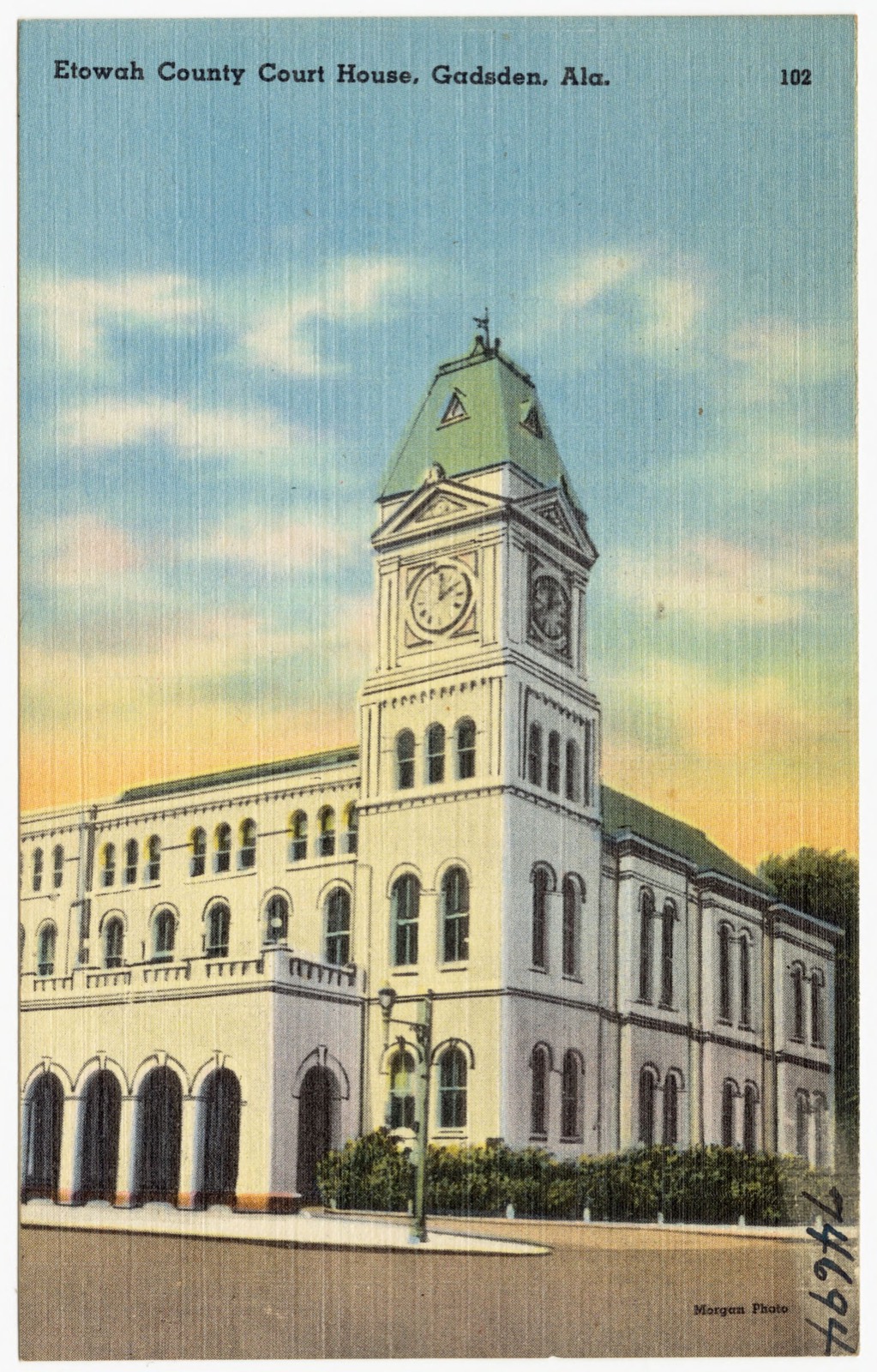
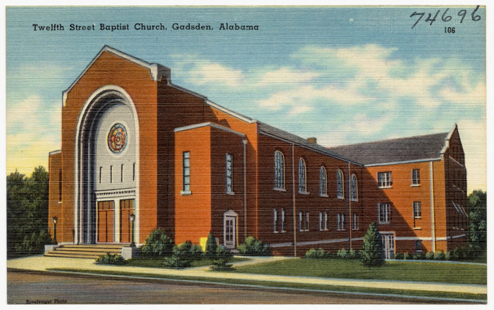
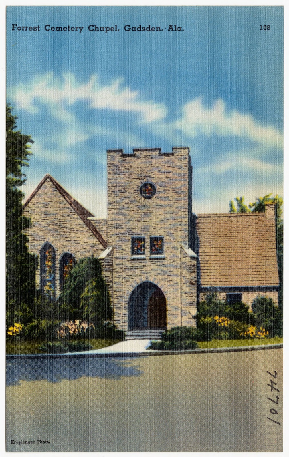
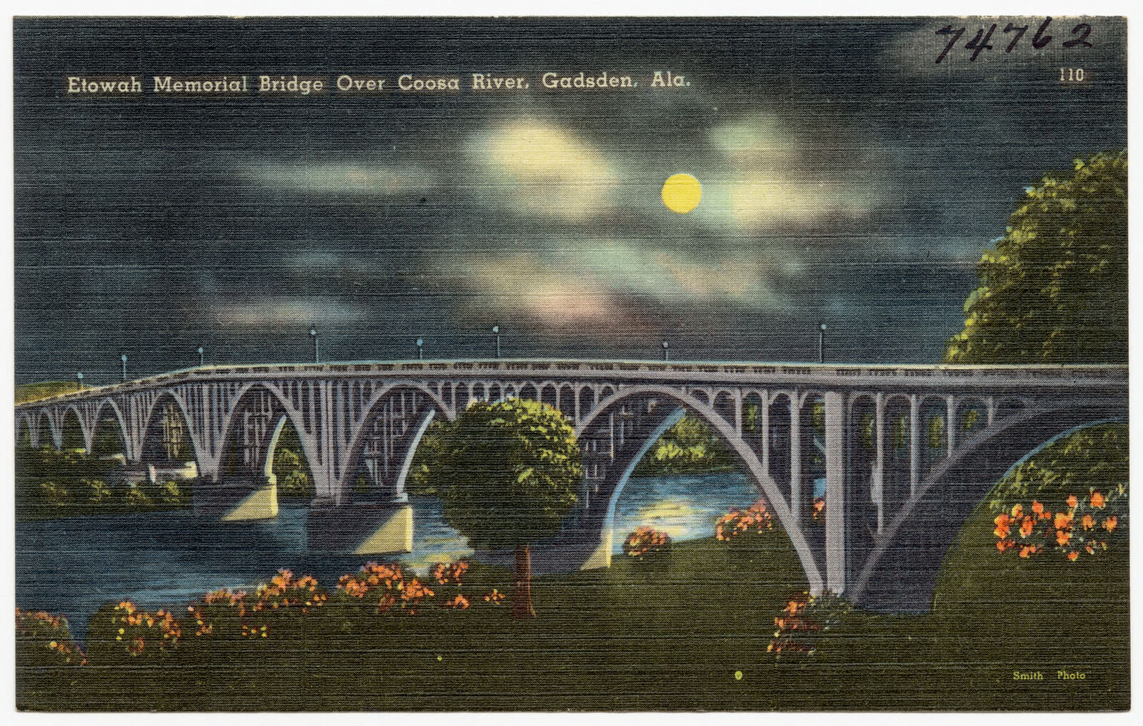
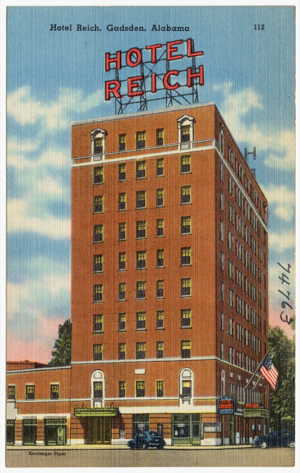
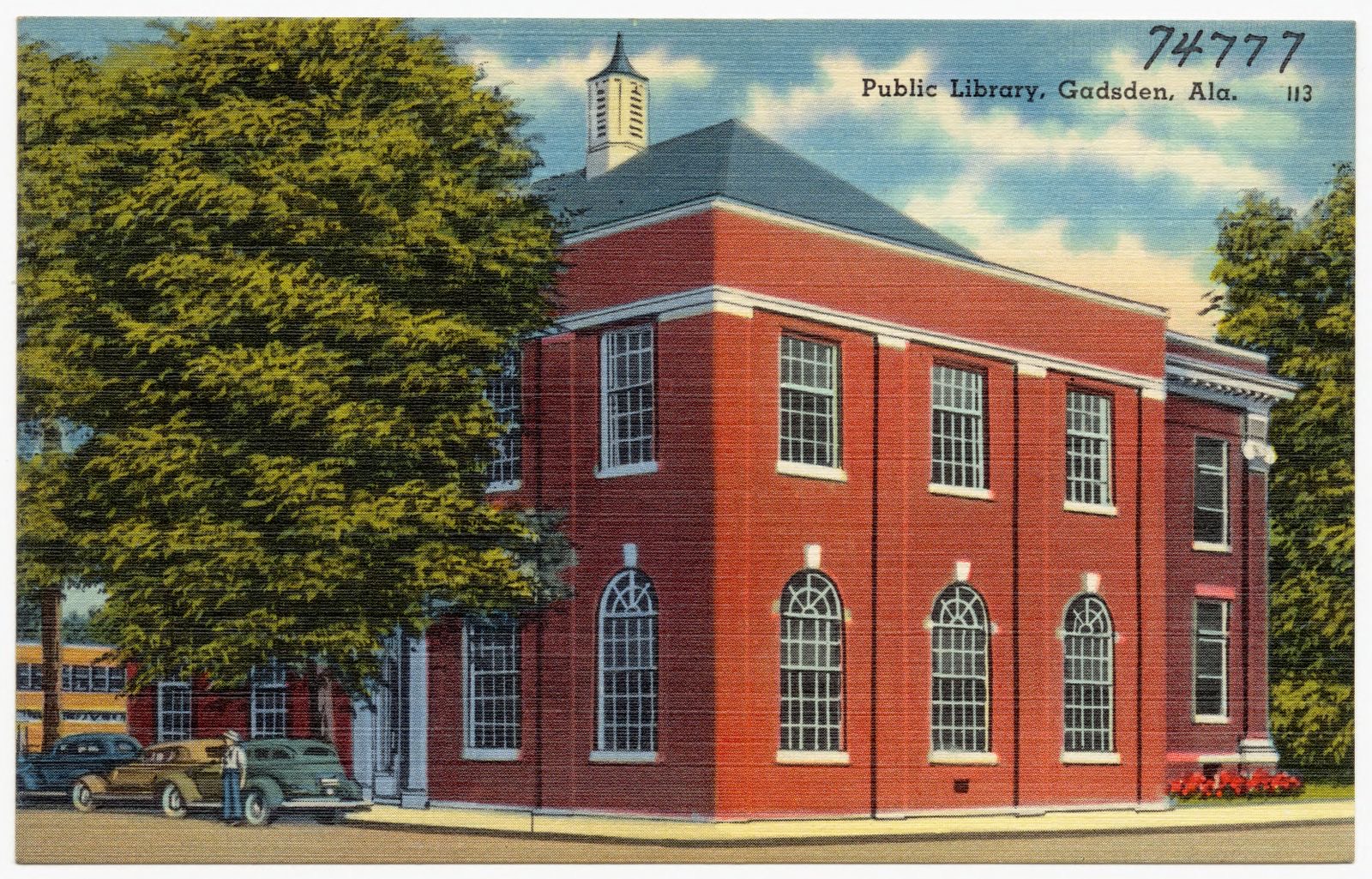
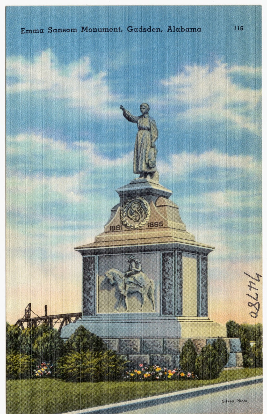
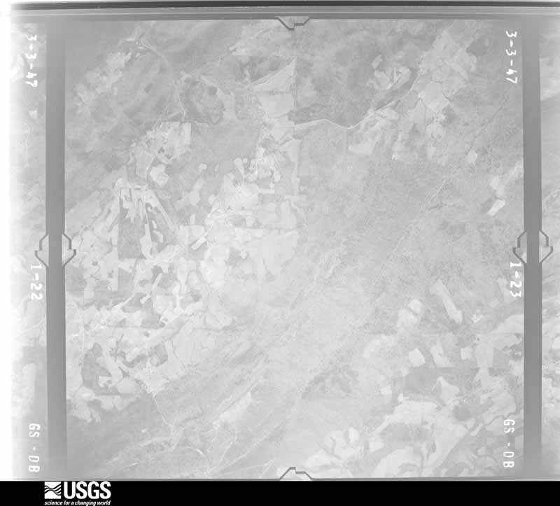
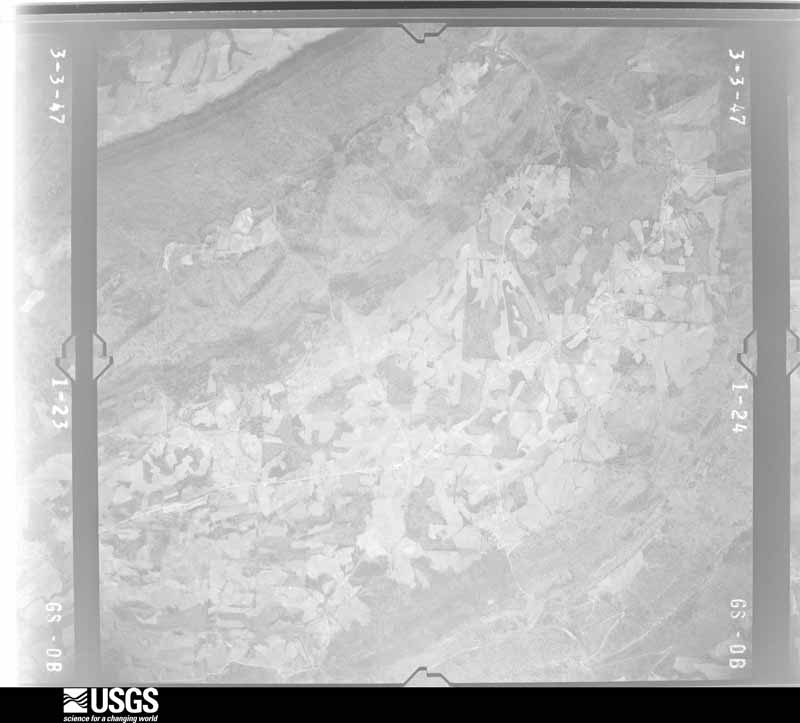
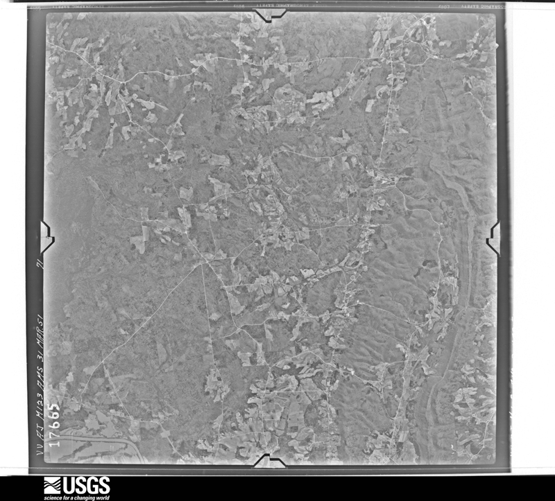
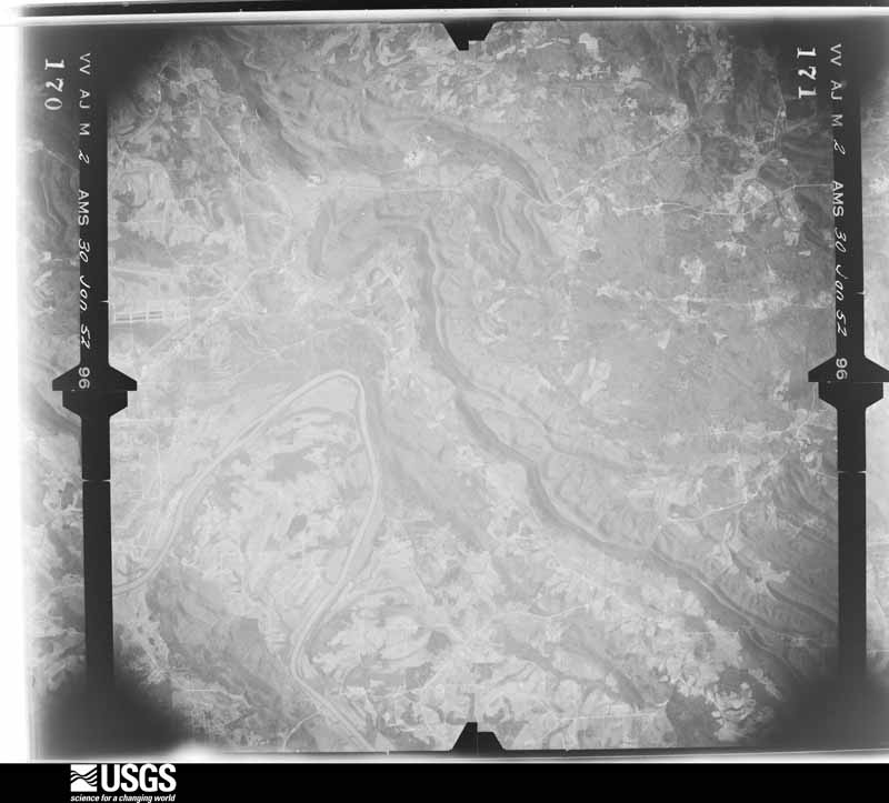
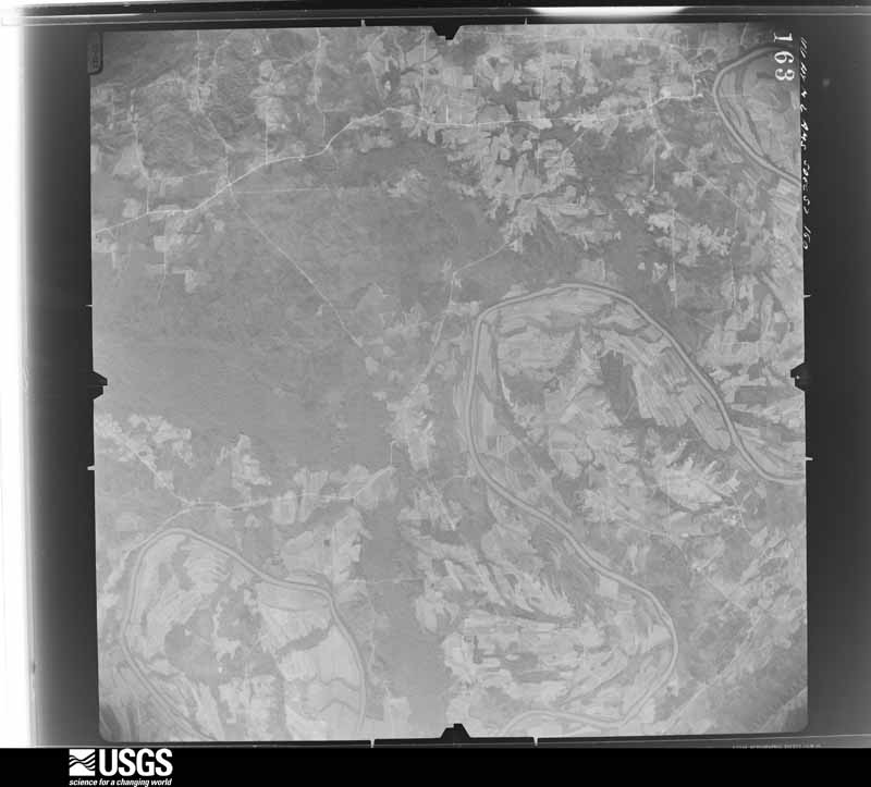
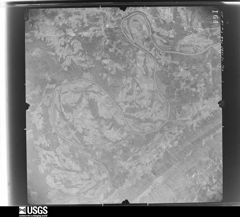
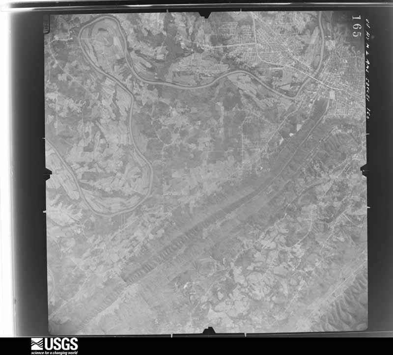
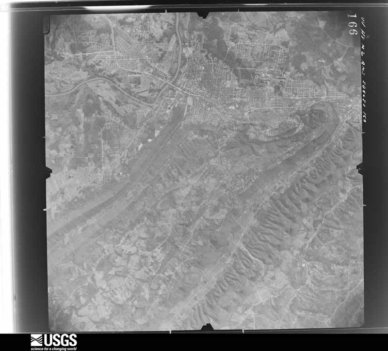
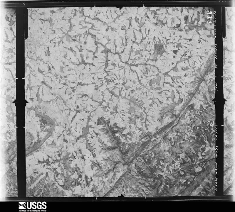
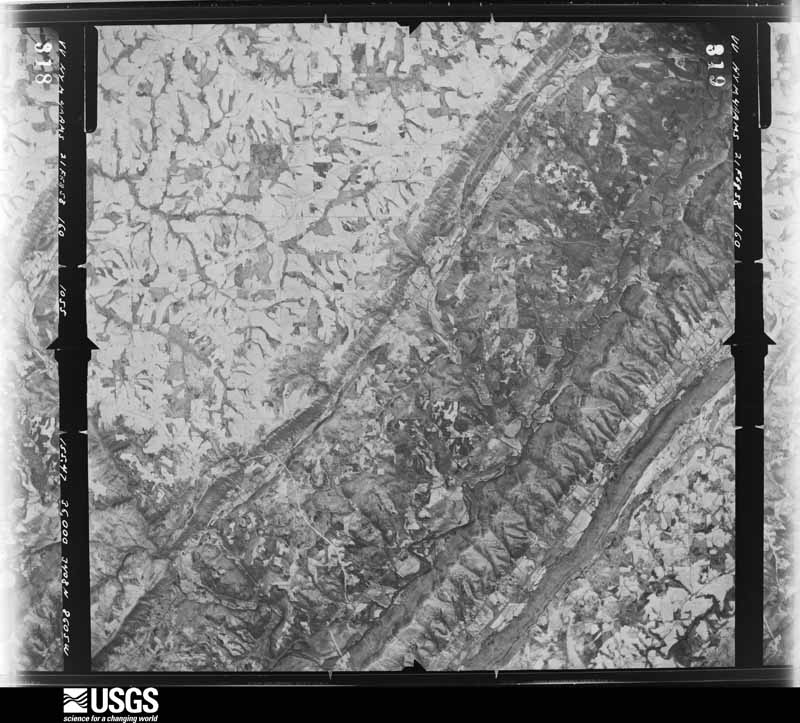
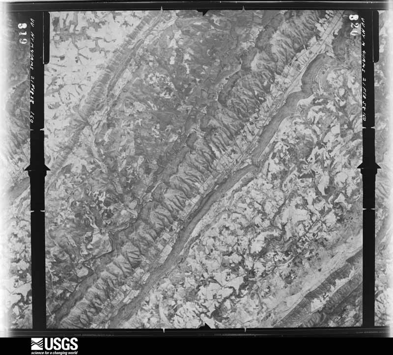
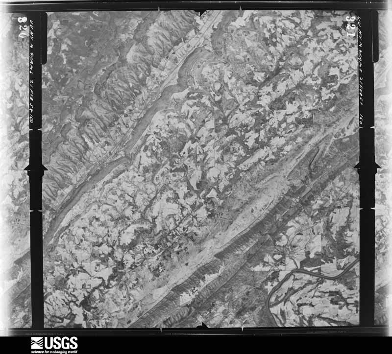
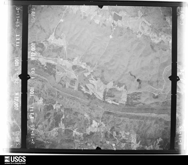
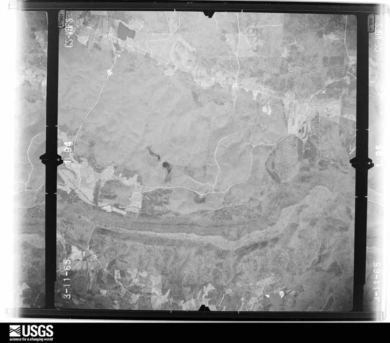
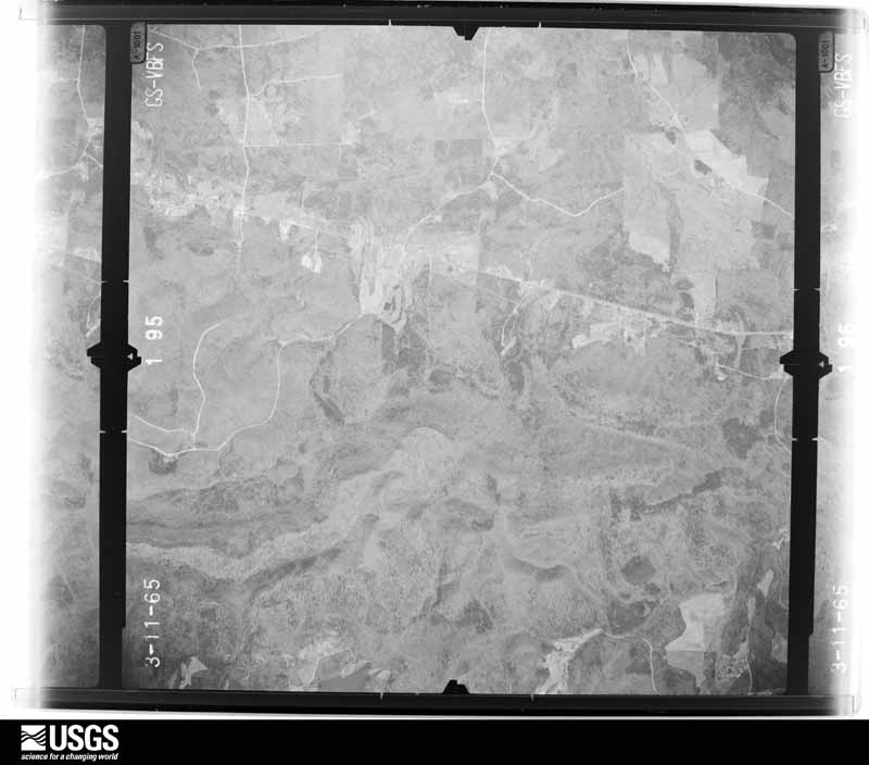
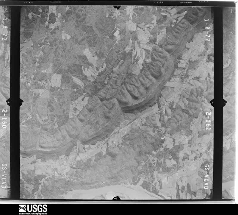
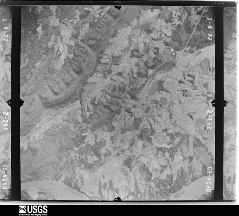
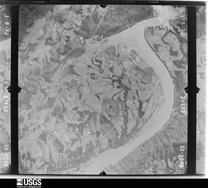
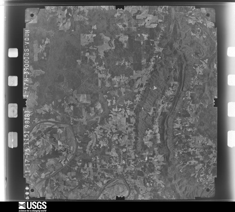
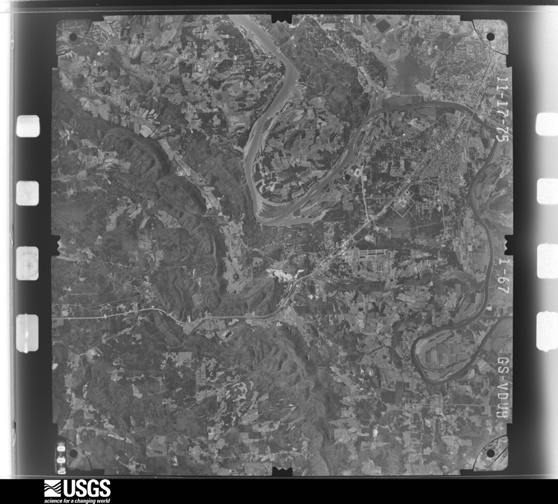
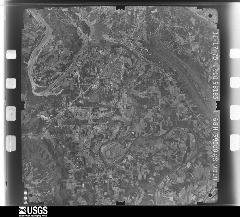
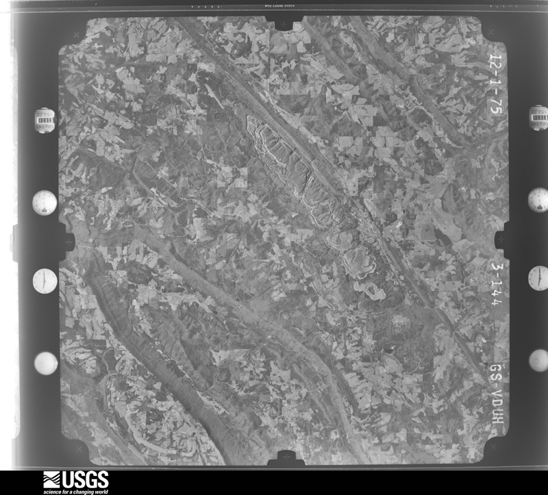
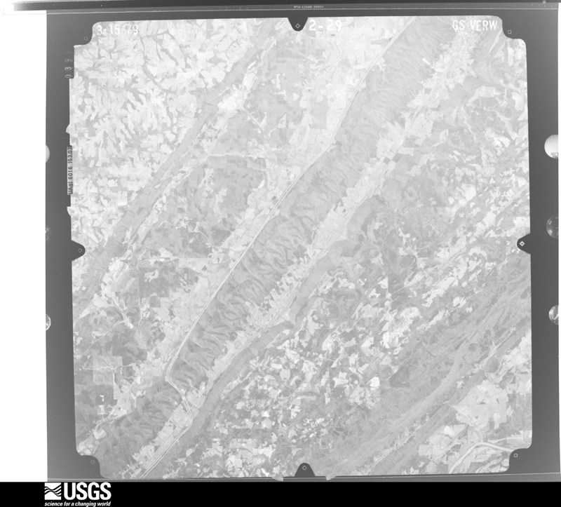
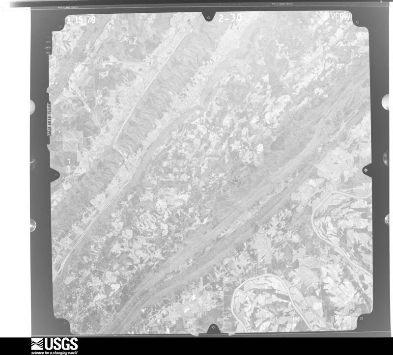
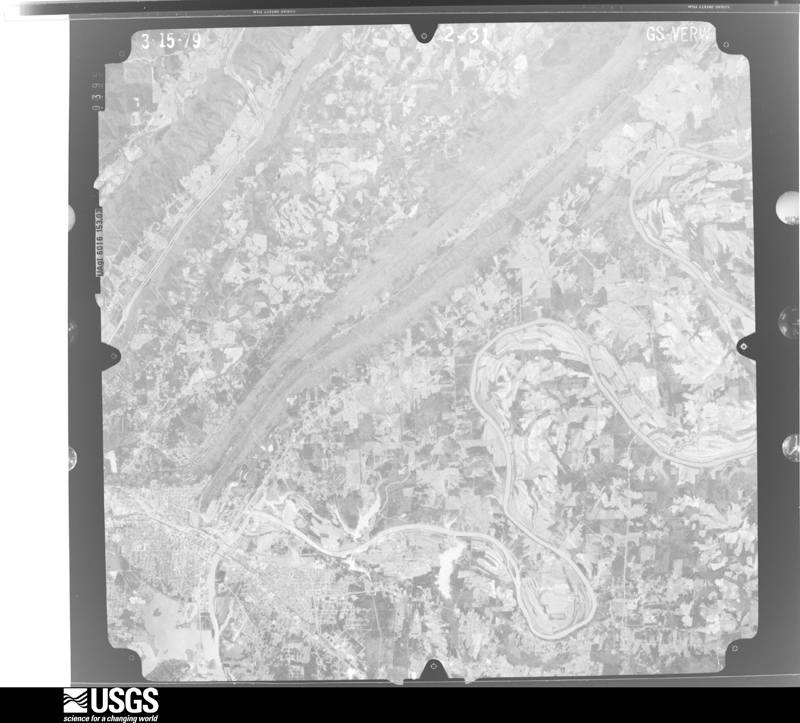
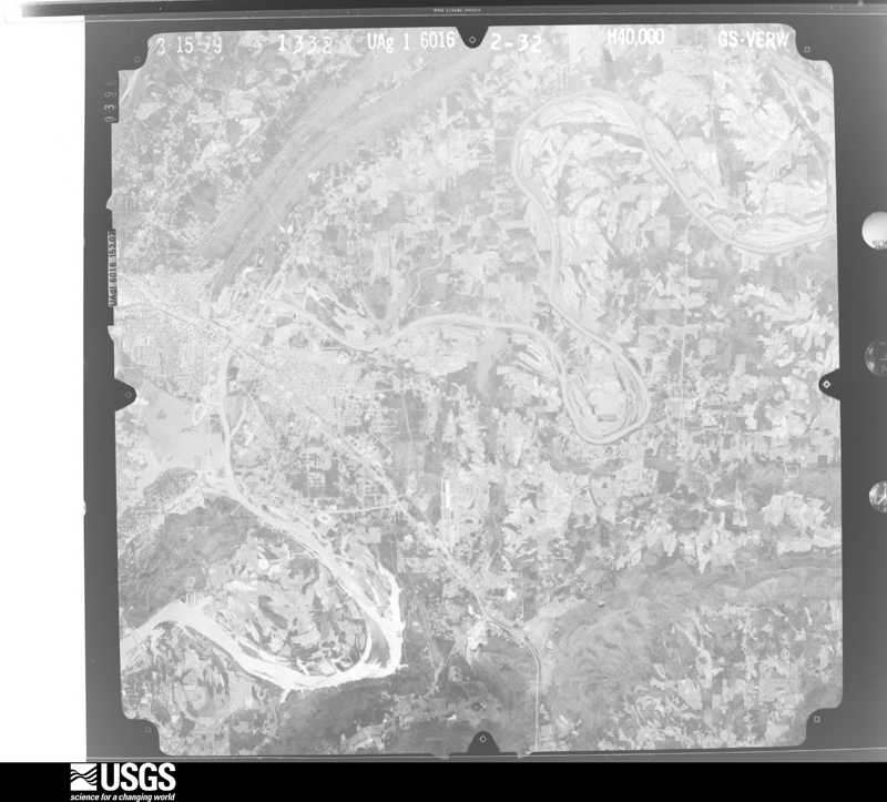
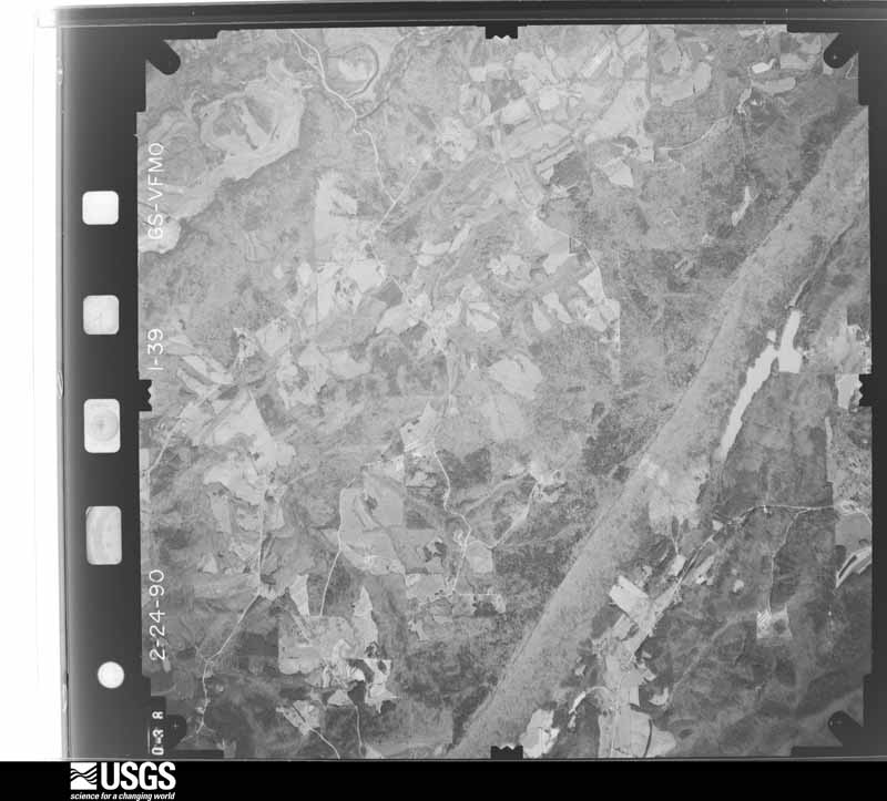
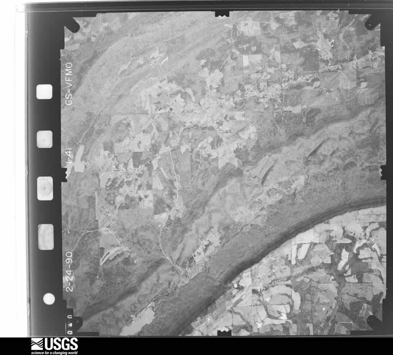
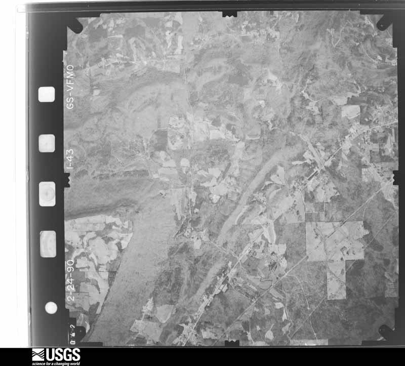
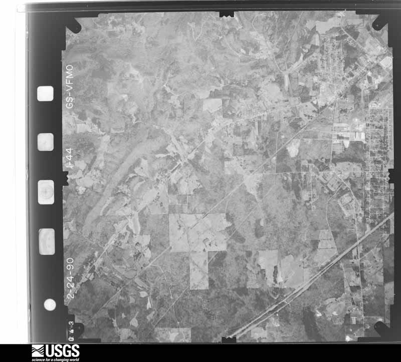
Flown by the U.S. Geological Survey between 1937 and 1989, the Aerial Photo Single Frames collection is the definitive mid-century view of the land: fields, roads and rivers as the camera saw them. The Survey holds 759 frames inside the rectangle that bounds this county; the 47 frames below were taken over the county itself, chosen across the decades of flights (at most four a year from that rectangle), so one flight cannot crowd out the rest. The full set is free to browse and download at EarthExplorer under the dataset Aerial Photo Single Frames.


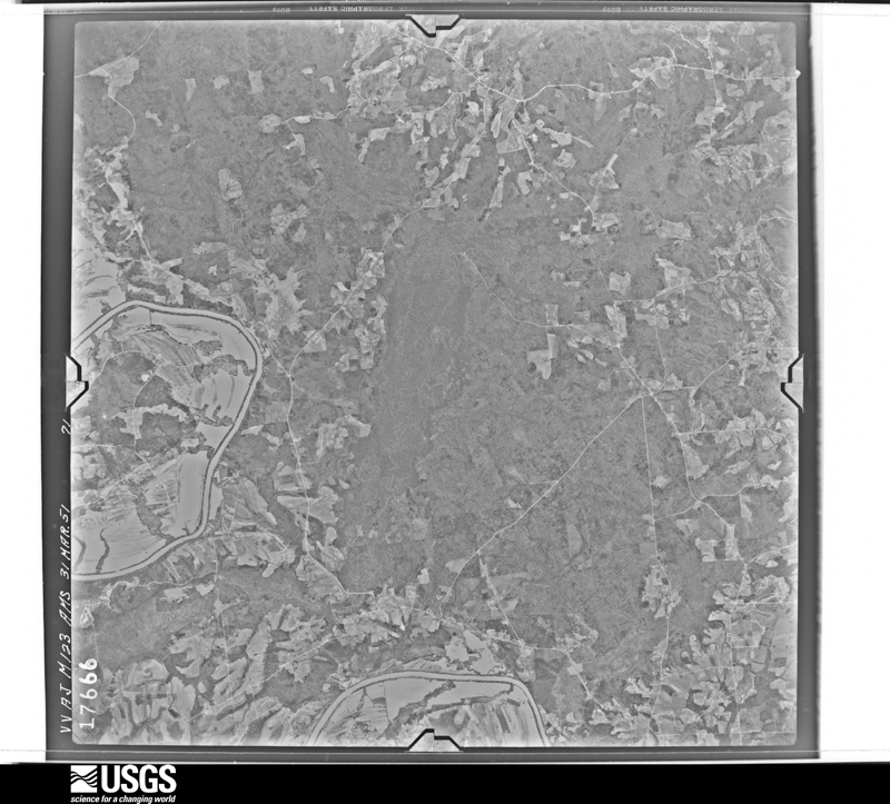
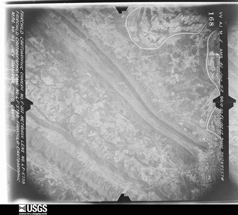
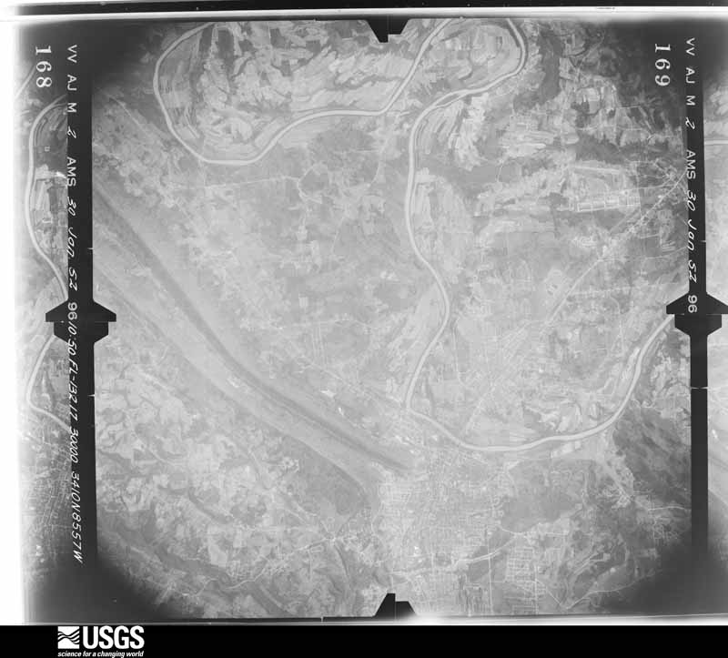
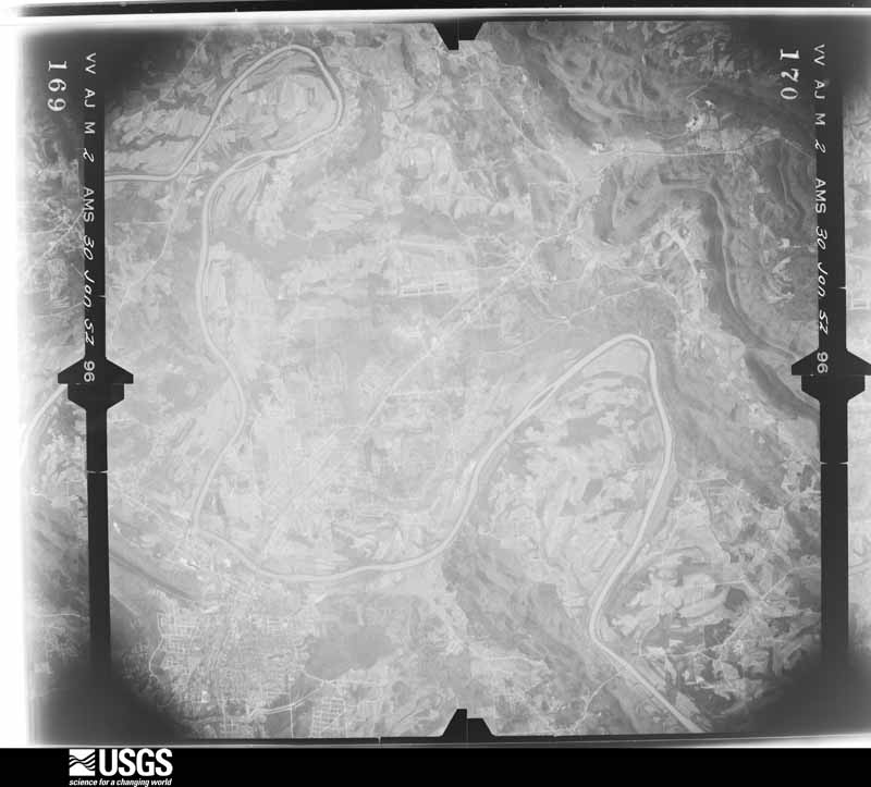
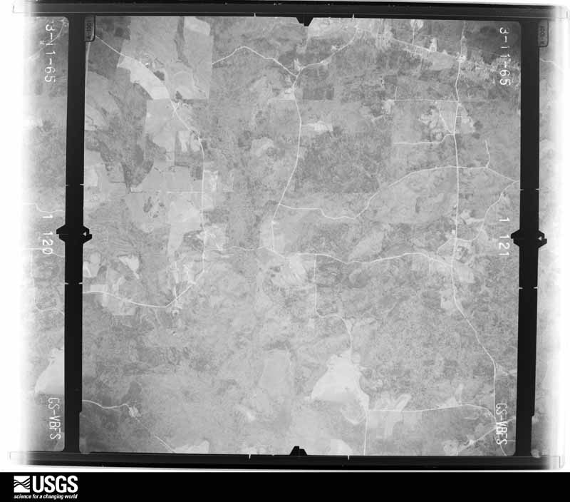
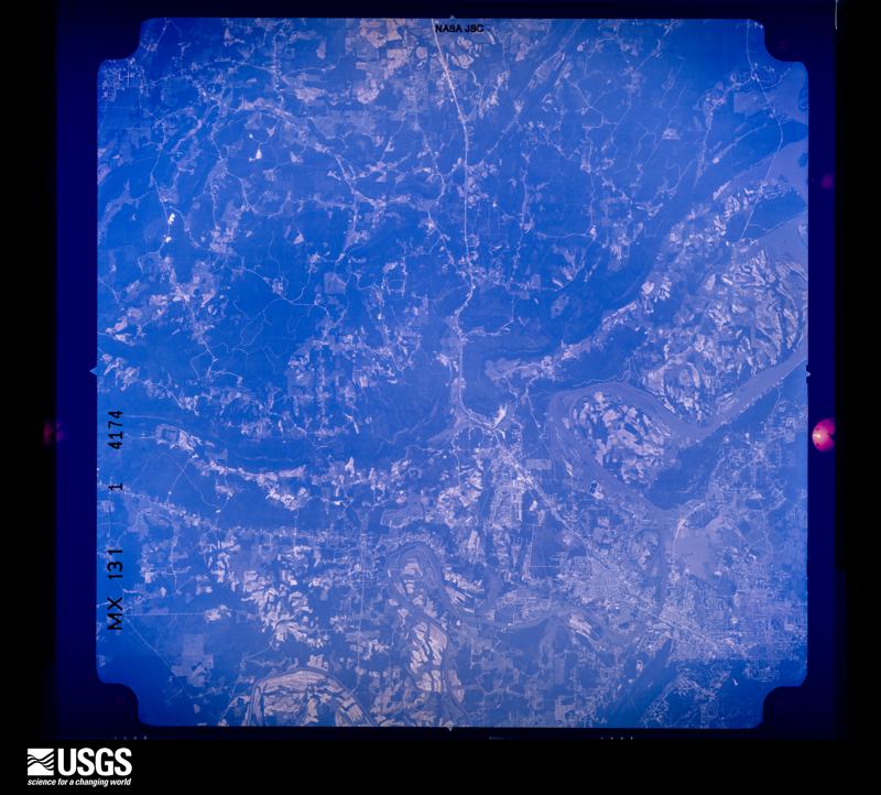
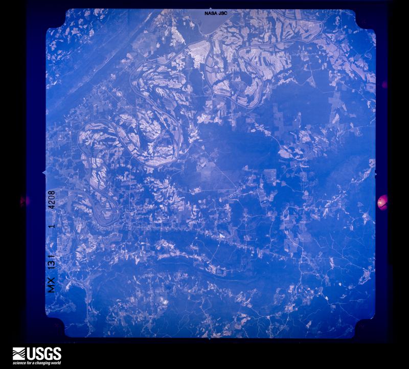
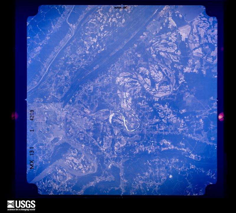
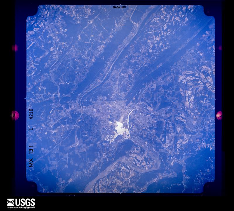
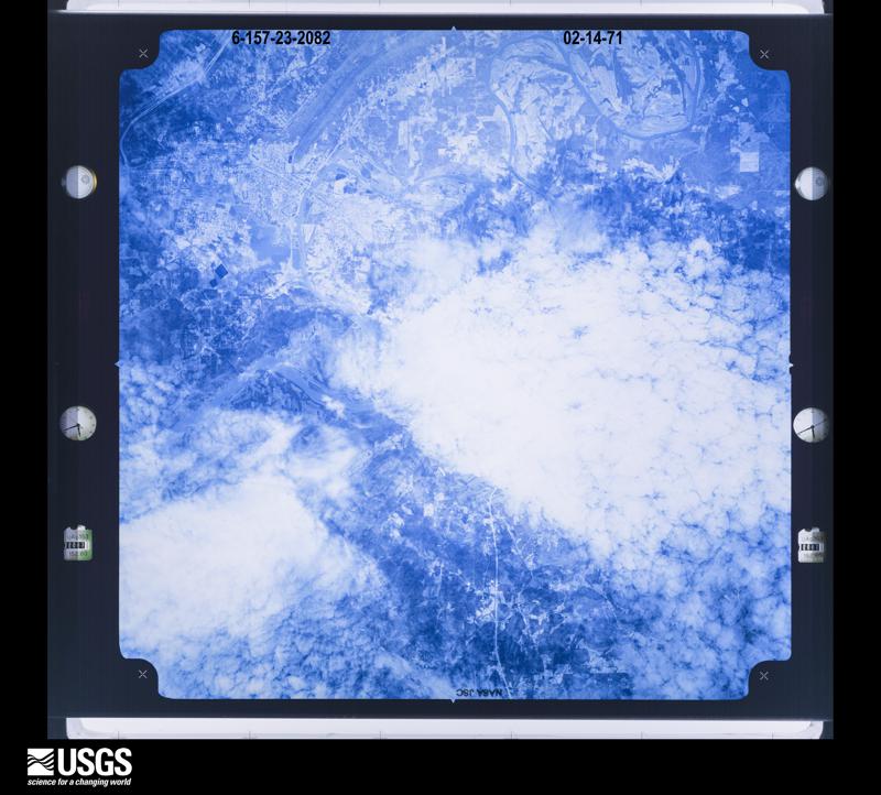
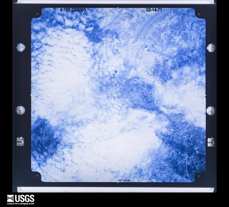


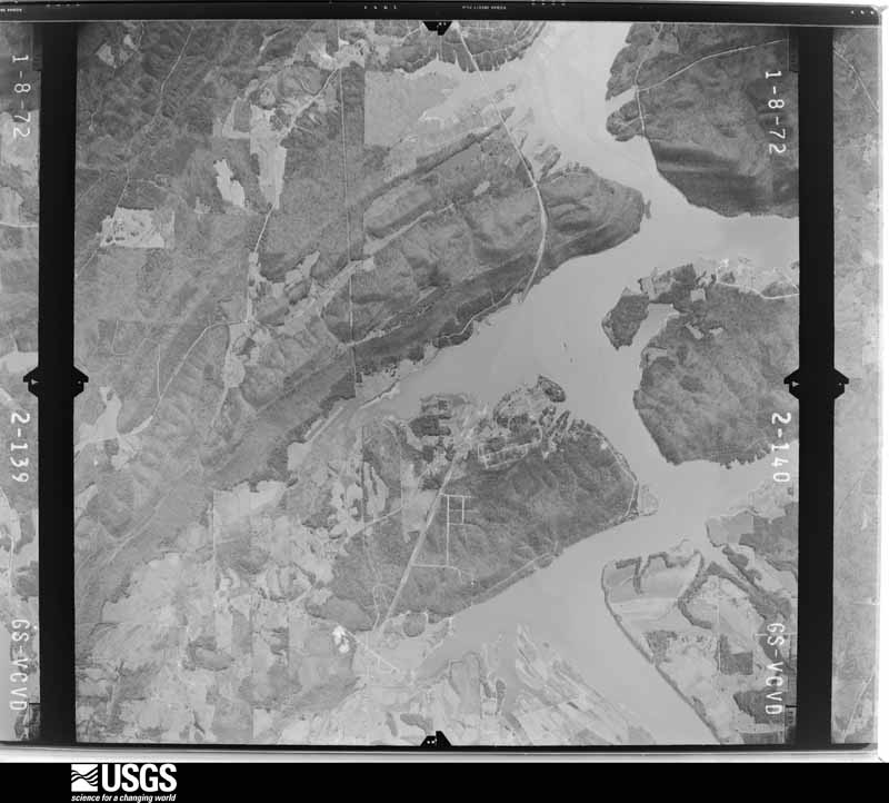

The thermometers that kept this county's weather, and the gages that measured the flow of its streams, as the federal records hold them. The extremes below are measured values from those records, not estimates.
Who lived here in 1950, one enumeration district at a time, as the Census Bureau described each district. Each row opens its official National Archives result, with Population Schedules and ED Maps available there.
Every wildfire the federal occurrence database records inside this county: 763 of them, burning about 10,086 acres. 6 started naturally and 381 were recorded as arson. Each settlement page carries the fires within five miles of it.
| Reported cause | Fires |
|---|---|
| Arson/incendiarism | 381 |
| Debris and open burning | 236 |
| Missing data/not specified/undetermined | 89 |
| Recreation and ceremony | 22 |
| Equipment and vehicle use | 11 |
| Railroad operations and maintenance | 8 |
| Natural | 6 |
| Misuse of fire by a minor | 5 |
| Smoking | 2 |
| Power generation/transmission/distribution | 2 |
| Other causes | 1 |
The five largest, by the area the report gives. Five of them were set deliberately.
| Date | Cause | Size | Reported by | Name on the report |
|---|---|---|---|---|
| 23 March 2004 | Arson/incendiarism | 400 acres | Alabama Forestry Commission | ETOWAH |
| 30 May 2007 | Arson/incendiarism | 400 acres | Alabama Forestry Commission | GADSDEN |
| 8 November 2001 | Arson/incendiarism | 300 acres | Alabama Forestry Commission | not named |
| 28 November 2016 | Missing data/not specified/undetermined | 200 acres | Alabama Forestry Commission | 20161128-102 |
| 31 May 2007 | Arson/incendiarism | 200 acres | Alabama Forestry Commission | AGRICOLA |
| 25 November 2016 | Missing data/not specified/undetermined | 175 acres | Alabama Forestry Commission | 20161125-11 |
| 26 March 2001 | Arson/incendiarism | 150 acres | Alabama Forestry Commission | not named |
| 14 January 2007 | Debris and open burning | 150 acres | Alabama Forestry Commission | BLANTON |
Every settlement page carries the fires within five miles of it - see the settlement index below.
The NOAA Storm Events Database holds 547 reports for this county, causing no deaths, 85 injuries and about $28,848,030 in recorded property damage. Each settlement page carries the reports that name it.
| Kind of event | Reports |
|---|---|
| Thunderstorm Wind | 330 |
| Hail | 133 |
| Tornado | 34 |
| Flash Flood | 26 |
| Lightning | 14 |
| Flood | 7 |
| Heavy Rain | 2 |
| Funnel Cloud | 1 |
The most serious of them, by death, then injury, then recorded damage. The accounts are quoted exactly as the forecast office filed them.
| When | Event | Place named | Harm | What the report says |
|---|---|---|---|---|
| August 2023 | Thunderstorm Wind | Noccalula Falls | 20 hurt | National Weather Service Meteorologists surveyed wind damage from|severe thunderstorms that occurred on the afternoon of August 3, |2023 at approximately 2:30 pm CDT. The damage found was consistent |with straight line winds of 80 mph along a narrow corridor of |Tabor Road, near the cross streets of Dodge Lane and McCauley Avenue. |Around a dozen or more soft and hard wood trees were snapped or |uprooted, damaging several trailer campers and vehicles. The more |intense damage was noted in adjacent areas of the annual event, |The World's Longest Yard Sale, where several pedestrians and |shoppers sustained minor to severe injuries. In all, 20 people were|injured, mostly in conjunction with taking shelter rather than |the actual storm damage. The estimated winds along Tabor Road were |noted as the strongest in the area, although additional tree and |powerline damage was noted across the entire county where winds |were estimated at 50 to 60 mph. |
| December 2000 | Tornado (F3) | Gadsden | 14 hurt, $10,000,000 | no account filed |
| March 1962 | Tornado (F3) | not stated | 10 hurt, $250,000 | no account filed |
| June 2001 | Thunderstorm Wind | Gadsden | 9 hurt, $15,000 | no account filed |
| November 1992 | Tornado (F2) | not stated | 6 hurt | no account filed |
| April 1977 | Tornado (F2) | not stated | 4 hurt, $250,000 | no account filed |
| April 2020 | Tornado (EF2) | Walnut Grove | 3 hurt | National Weather Service meteorologists surveyed damage in northwest Etowah County, near the Blount County line, and determined that it was consistent with an EF2 tornado, with maximum winds near 115 mph.||This tornado is a continuation from Blount County. It tracked northeast along the ridgeline in northern Etowah County. Sporadic tree damage was noted along Cove Spring Road and Cove Road. The tornado began to strengthen as it moved northeast toward the southern portions of the city of Boaz. Several homes were damaged in this area some from falling trees. At least one home near the intersection of Highway 179 and Glover Road sustained significant structural damage. A large industrial building in this area also sustained significant damage. At this point, the tornado reached its maximum intensity of 115 mph with a width of approximately 350 yards. The tornado continued to track northeast through Boaz with homes and structures damaged along Pleasant Hill Road and Highway 205. Significant tree damage with uprooted and snapped trees were noted in this area. The tornado continued to track northeast and into Marshall County. |
| March 2013 | Tornado (EF1) | Sardis City | 3 hurt | The tornado initially touched down in Marshall County in Boaz and moved eastward into Etowah County about a half of a mile west of Oak Drive where it snapped and uprooted several pine trees. From there it moved to the east and crossed Broadwell Road and overturned a tractor trailer and a camper. The tornado continued eastward, snapping and uprooting trees along the path. Several barns and small outbuildings sustained roof damage. As the tornado crossed Chumley Road, two mobile homes were overturned while more trees were uprooted. The most extensive damage occurred as the tornado approached Rowen Road. A mobile home was lifted and overturned leaving one person seriously injured and two others with minor injuries. In this same area, two additional mobile homes were destroyed. As the tornado crossed Brow Road, a one story brick home had one third of its roof removed and wind-blown debris was observed on all four sides of the home. The tornado continued further east for approximately 300 yards before dissipating as it approched Sand Valley Road. |
| December 1969 | Tornado (F2) | not stated | 2 hurt, $250,000 | no account filed |
| April 2011 | Thunderstorm Wind | Glencoe | 2 hurt, $25,000 | Numerous trees were knocked down across the county, some on homes and businesses. One tree fell onto a mobile home resulting in two minor injuries. |
| April 2023 | Tornado (EF0) | Boaz | 2 hurt | National Weather Service meteorologists surveyed damage in far northern Etowah County and determined that it was consistent with an EF0 tornado, with maximum winds near 85 mph. The tornado touched down near the intersection of Coosa Road and Sardis Cut-off Road before moving across Highway 431, where a shop had large doors blown out and a church had the roof partially removed. At Morningview Drive and Hood Drive, several homes had significant roof damage and numerous trees were uprooted. A shed was blown several yards and destroyed, a fence was blown down, and one home had failure of the west facing garage door which caused the roof to be removed and walls to collapse. More trees were uprooted in a wooded area before the tornado moved along Patterson Street. Here, one home sustained roof damage, a silo was damaged, a metal shed had significant damage to the southeast corner, and a tree fell through another homes backyard privacy fence. Many hundred-year-old trees were uprooted around both homes. Another home was damaged by a falling tree at the corner of Patterson and Church Road. More trees were uprooted along Parkway Drive and Alexander Drive. Two pine trees fell through two manufactured homes on Alexander Drive and two injuries were reported in one of the manufactured homes. A few more pine trees were uprooted, with smaller limbs snapped off as well, across Kristie Lane and Oak Drive. At Horton Circle, numerous trees were uprooted, and a house sustained minor shingle damage. The tornado lifted near the intersection of Broadwell Road and Sardis Drive. |
| April 1985 | Tornado (F3) | not stated | 1 hurt, $2,500,000 | no account filed |
| February 1999 | Thunderstorm Wind | Gallant | 1 hurt, $800,000 | Numerous trees and power lines were knocked down or uprooted in southern Etowah County sporadically along this path. Many trees blocked roadways. 10 single family homes were totally destroyed. 20 homes sustained major damage. Minor damage was reported to another 29 homes. Two mobile homes were demolished and four additional mobile homes received minor damage. One man in North Gadsden was injured when his home crumbled. He had several bruises and a concussion. In Walnut Park, one woman died, apparently of natural causes, but it occurred in the middle of the storm. Stowers Manufacturing Plant in Gadsden had a large portion of its roof torn off. The damage was heavily concentrated in Gadsden and Walnut Park. |
| June 1983 | Tornado (F1) | not stated | 1 hurt, $250,000 | no account filed |
| July 2005 | Flash Flood | Rainbow City | 1 hurt, $73,000 | A partial roof collapse occurred at the Paradise Bowling Alley in Rainbow City. The weight of the heavy rain produced the failure. One person was injured in the bowling alley. Several roads in downtown Gadsden were impassable due to high water. Flood water entered numerous homes in the same area. Two motorists were rescued by the local fire department in stalled out vehicles. |
| February 2001 | Thunderstorm Wind | Countywide | 1 hurt, $20,000 | Etowah County reported numerous trees and power lines knocked down. Many of the downed trees blocked roadways causing temporary road closures. Wind gusts of 68 mph were measured at the Emergency Management Office in Gadsden. One person suffered minor injuries when a tree fell on the side of their traveling vehicle. |
| May 2011 | Thunderstorm Wind | Alabama City | 1 hurt, $5,000 | Numerous trees were blown down around the city of Gadsden. On Pearl Street, a person was injured by a branch when a large tree fell. |
| June 2002 | Thunderstorm Wind | Gadsden | 1 hurt, $5,000 | Numerous trees were blown down in and around Gadsden. One falling tree caused unspecified injuries to a resident. |
| July 1999 | Lightning | Gallant | 1 hurt, $1,000 | A Gallant man was struck by lightning according to newspaper reports. He was working at a home when lightning apparently ran through a power cord on the saw he was using. He received only a minor shock and was not seriously injured. Another lightning strike ran down a tree and into a house, blowing a hole through the wall. |
| July 2016 | Thunderstorm Wind | East Gasden | 1 hurt | An injury occurred to a person on the Gadsden State Community College by a falling tree limb. |
| September 2008 | Lightning | Noccalula Falls | 1 hurt | One person was struck by lightning on Tabor Cut-off Road, near Noccalula Falls. |
| April 2011 | Tornado (EF1) | Hokes Bluff | $9,400,000 | This tornado initially touched down in eastern Jefferson County, north northeast of Trussville. The tornado moved northeast through portions of St. Clair, Calhoun, Etowah and Cherokee Counties, before it moved into Georgia, across Polk, Floyd and Bartow (See Storm Data Peachtree City) Counties. The tornado moved into southeastern Etowah County, east of Cannon Gap Rd, where it caused mainly tree damage consistent with an EF1 rating and winds of 100 mph. This tornado just clipped the corner of the county. The tornado crossed back into Calhoun County, just south of US Hwy 278. ||This tornado was produced by a supercell thunderstorm that began in Newton County Mississippi at 13:54 pm CST, and eventually dissipated in Macon County, North Carolina at approximately 21:18 pm CST. This supercell spawned several strong to violent tornadoes along its long path, which included another violent EF4 tornado that crossed portions of Tuscaloosa and western suburbs of the Birmingham. |
| November 2001 | Tornado (F4) | Altoona | $1,500,000 | no account filed |
| June 1980 | Tornado (F2) | not stated | $250,000 | no account filed |
| June 1977 | Tornado (F2) | not stated | $250,000 | no account filed |
| April 1970 | Tornado (F2) | not stated | $250,000 | no account filed |
| November 2004 | Flash Flood | Countywide | $200,000 | Several roads were reported covered with water in the city of Gadsden. Many of the roads were temporarily impassable due to the high water. Several area streams and creeks rose above bankfull. Canoe Creek rose out of its banks and flooded a few homes. One culvert was completely washed out. A minor landslide occurred on Whorton Gap Road. One bridge suffered major damage on Babe Jackson Road. Doppler radar estimated widespread rain amounts of 4 to 5 inches with a few spots approaching 12 inches. Runoff from these storms lasted for several hours after the heaviest rains ended. |
| August 2008 | Thunderstorm Wind | Williams | $154,000 | A thunderstorm downburst produced an extensive area of damage in southern Etowah County, just south of the Southside Community. The damage swath extended from the southern end of Babe Jackson Drive, northeastward for about 3 miles, to AL-77. The heaviest concentration of damage was in the Grant Drive, Routon Circle, Meadow Circle, Nabors Drive, Broughton Springs Road, and Mountain Top Road areas. At least 27 homes and other structures, and 2 vehicles, received minor to moderate damage due to the wind and from fallen trees. Around 100 trees were either uprooted or snapped off. Peak wind gusts were estimated around 100 mph. |
| July 2005 | Lightning | Countywide | $110,000 | An auto body shop in Attalla was struck by lightning. The ensuing fire destroyed the entire business. Another lightning strike hit a clothes drier in a home in Gadsden. The residents were able to extinguish the fire after it caused minor damage. |
| January 2009 | Flash Flood | Pana | $100,000 | Heavy rainfall produced flooding at several locations across Etowah County. Flood waters helped wash away a culvert and underlying water line northwest of the city of Attalla. A private dam near the Gallant Community broke, producing up to 12 feet of flooding in the area, and causing about a dozen houses to be evacuated. Around 12 roads in the county were closed due to flood water. |
| April 2008 | Thunderstorm Wind | East Gasden | $100,000 | Sporadic uprooted and snapped trees were found along a 4.5 mile distance in the city of Gadsden. Some of the downed trees fell on houses and out buildings causing structural damage. Other damage included lost shingles and siding. One older brick building in the downtown area lost a portion of a wall. The Etowah County EOC measured a wind gust to 86 mph. |
| May 1997 | Lightning | Gadsden | $85,000 | Lightning struck a house and it was totally destroyed by the ensuing fire. Three cows were also killed while standing under a tree that was struck by lightning. |
| May 2003 | Hail | Keener | $75,000 | Penny to baseball size hail fell along the eastern Etowah County line. The hail fell from near Keener to near Ball Play. A few trees were also blown down near Ball Play. The hail may have been larger in rural areas because of larger reports in adjacent counties. |
| February 2000 | Thunderstorm Wind | Countywide | $75,000 | Several trees were blown down throughout the county. Many of the fallen trees landed on buildings causing major damage. A few mobile homes were also damaged by falling trees. A 56 mph wind gust was recorded by the EMA in Gadsden at 821 PM. |
| July 1999 | Thunderstorm Wind | Countywide | $75,000 | Numerous trees and power lines were blown down across the county. The hardest hit areas included Gadsden, Attalla, Hokes Bluff, Rainbow City and Glencoe. The Etowah County EOC measured a wind gust of 62 miles an hour at 1735. Several homes received damage from the fallen trees. One home was severely damaged. Alabama Power estimated that over 12 thousand customers were without power into the next morning. |
| April 2001 | Thunderstorm Wind | Gadsden | $70,000 | Wind from a thunderstorm damaged the side of an apartment building on Forest Avenue ripping siding material away. Flying debris also damaged a car. |
| April 1998 | Tornado (F1) | Gallant | $70,000 | An F1 tornado began just west of Gallant in western Etowah county. Hundreds of trees were snapped and uprooted from 1 mile west of Gallant to 2 miles west of Attalla. One trailer was flipped over on its top, and it lost more than half of its metal roof. One old barn lost its entire roof. Another trailer, about 6 miles east-northeast of Gallant, lost its roof. Several trees fell onto homes along the path. |
| August 2010 | Thunderstorm Wind | Aurora | $60,000 | Multiple trees uprooted with partial roof damage at a residence on Bluff Road. Chicken houses also damaged. |
| August 1996 | Thunderstorm Wind | Attalla | $55,000 | no account filed |
| April 2006 | Thunderstorm Wind | Gadsden | $50,000 | Pilot at Gadsden Municipal Airport estimated wind gusts of 65 to 75 mph blew away a tied down airplane. |
| April 2000 | Thunderstorm Wind | Rainbow City | $50,000 | Several trees were blown down in Rainbow City. Two adjoining businesses, John's Mens Wear and Learning Systems had the roof completely removed in one piece. Several other locations in the county also reported trees blown down. |
| May 1994 | Thunderstorm Wind | Walnut Grove | $50,000 | Trees were blown down onto a house in Walnut Grove. |
| June 1998 | Thunderstorm Wind | Countywide | $45,000 | Numerous trees and power lines were down across the northern part of the county. A gust to 61 mph was reported in Gadsden. |
| April 2009 | Thunderstorm Wind | Rainbow City | $40,000 | Several trees were blown down on Lakefront Drive, the Southside community near Gadsden. At least 4 homes and several vehicles were damaged by falling trees. |
| June 1999 | Flash Flood | Countywide | $40,000 | Three to 6 inches of rain fell in a few hours mainly across southern Etowah County. The hardest hit areas included; Hokes Bluff, Glencoe, Rainbow City, and Gadsden. Numerous roads across the county were flooded with up to three feet of water and several roads were closed. Several homes had water flow into them and at least 14 families had to be evacuated. Several motorists were trapped in their vehicles and had to be rescued by the Fire Department. Numerous lightning strikes knocked out power temporarily across the area. |
| September 2011 | Tornado (EF0) | Rainbow City | $30,000 | An EF0 tornado, associated with Tropical Storm Lee, with estimated peak winds of 80 MPH touched down in Rainbow City. After touching down near Hill St, the tornado took a turn to the northwest, crossing U.S. Highway 411 west of Bland St. The tornado turn back to the north and lifted near Irene St., west of Alabama Highway 77. Ten to 15 pine trees were snapped and a few hardwood trees were uprooted. Several HVAC units were blown off the roof of Rainbow City Hall on U.S. Highway 411 and minor structural damage occurred at the Spring Lake Lodge Apartments. |
| July 2005 | Flash Flood | Gadsden | $30,000 | Meighan Boulevard in Gadsden was flooded and was temporarily impassable. Several other roadways across central Etowah County were flooded and subsequently closed. The Attalla City Park was flooded. |
| February 2000 | Thunderstorm Wind | Rockledge | $30,000 | Numerous trees were blown down in northwest Etowah County. Several homes received major damage and a few were demolished. A few mobile homes were also damaged. |
| April 1998 | Tornado (F1) | Reece City | $30,000 | An F1 tornado began just northwest of Gadsden along US 11. The tornado traveled along US 11 into Reece City. Hundreds of trees were snapped and uprooted along the path, and a few of the trees fell onto homes. |
| April 2005 | Thunderstorm Wind | Countywide | $27,000 | Several trees were blown down across Etowah County. One mobile home roof was blown off in the Coates Bend area. At least two other homes were damaged by fallen trees. |
| April 2003 | Thunderstorm Wind | Gadsden | $27,000 | Several trees and power lines were blown down from the city of Gadsden to the Coates Bend area. A few traffic lights were also blown down. At least 500 customers were temporarily without power. |
| July 2009 | Thunderstorm Wind | Gadsden | $25,000 | At least 20 trees were blown down across various parts of Etowah County, mainly around the city of Gadsden. Fallen trees struck two homes in the 1400 block of 4th Avenue in the city, and another tree struck a house on 4th Street. |
| January 2007 | Thunderstorm Wind | Markton | $25,000 | A tree fell on a house on Valecross Way, in the extreme southern part of the county. |
| July 2007 | Thunderstorm Wind | Gadsden | $25,000 | Trees and power lines were blown down in several areas around the city of Gadsden. At least two trees fell onto homes. |
| February 1999 | Tornado (F0) | Southside | $25,000 | A weak tornado touched down just inside the Etowah County line near Southside. The tornado caused some minor damage to a house and knocked a few trees down on Babe Jackson Road then crossed H. Neely Henry Lake on the Coosa River. On the eastern bank of the lake, the roof was torn off one mobile home and minor damage occurred to several other homes and outbuildings. Several trees were uprooted in the area. |
| January 1998 | Flash Flood | Countywide | $25,000 | no account filed |
| April 1980 | Tornado (F2) | not stated | $25,000 | no account filed |
| March 1976 | Tornado (F0) | not stated | $25,000 | no account filed |
| April 1958 | Tornado (F1) | not stated | $25,000 | no account filed |
| August 2002 | Lightning | Ballplay | $23,000 | no account filed |
The Survey's mineral resources record lists 89 workings inside this county. 8 still produce and 81 are closed or unrecorded. Each settlement page carries the workings within five miles of it.
| Commodity | Workings |
|---|---|
| Iron | 53 |
| Manganese | 14 |
| Sand and Gravel, Construction | 10 |
| Barium-Barite | 7 |
| Cobalt | 2 |
| Stone, Crushed/Broken | 2 |
| Nickel, Cobalt | 1 |
| Clay | 1 |
| Limestone, Dimension | 1 |
| Sulfur | 1 |
| Fluorine-Fluorite | 1 |
The least common of them first, because a county's hundredth gravel pit says nothing its first ten did not.
| Where | Site | Commodity | Status | Recorded |
|---|---|---|---|---|
| Gilley Deposit | Fluorine-Fluorite, Barium-Barite | Occurrence | ||
| Greasy Cove | Manganese, Nickel, Cobalt | Occurrence | ||
| Markton Limestone Test | Limestone, Dimension | Prospect | ||
| Republic Steel Corp. Plant | Sulfur | Past Producer | ||
| Southside Pit | Clay | Past Producer | ||
| Cook Mine | Manganese, Cobalt | Past Producer | Psilomelane, Pyrolusite, Wad | |
| Dunaway Mtn. Dolomite Quarry | Stone, Crushed/Broken | Past Producer | ||
| Glencoe Quarry | Stone, Crushed/Broken | Producer | ||
| Greasy Cove Prospect | Manganese, Cobalt | Past Producer | Pyrolusite | |
| Giles Myric & A. Campbell | Barium-Barite | Past Producer | Residual | |
| Giles Myric Mine | Barium-Barite | Past Producer | ||
| John T Hagen Prospect | Barium-Barite | Occurrence | ||
| Mrs. Alice Campbell Prospect | Barium-Barite | Past Producer | ||
| N E Miller Prospect | Barium-Barite | Occurrence | ||
| Sparks Prospect | Barium-Barite | Prospect | ||
| Black Bros. S&G Pit | Sand and Gravel, Construction | Past Producer | ||
| Boatfield Pit | Sand and Gravel, Construction | Past Producer | ||
| Carroll Quarry | Sand and Gravel, Construction | Producer | Chert | |
| Open Pit | Sand and Gravel, Construction | Producer | Chert | |
| Osborn Pit No 1 | Sand and Gravel, Construction | Producer | ||
| Osborn Pit Number 1 | Sand and Gravel, Construction | Producer | Unconsolidated Sediments | |
| Sogna Pit | Sand and Gravel, Construction | Producer | ||
| Unnamed Quarry | Sand and Gravel, Construction | Producer | Quartz | |
| Unnamed Quarry | Sand and Gravel, Construction | Producer | Quartz | |
| Whorton Bend Pit | Sand and Gravel, Construction | Past Producer | ||
| Black Warrior River Manganese Pros. | Manganese | Occurrence | Pyrolusite, Wad | |
| Bynum Mine | Manganese | Past Producer | 1876 | |
| Bynum-Mccright Deposit | Manganese | Past Producer | 1917 | |
| Campbell Gap Manganese Prospect | Manganese | Occurrence | ||
| Collier-Edge Deposit | Manganese | Past Producer | 1942 | |
| J.B.Bynum | Manganese | Past Producer | 1924 | |
| Kirkpatrick | Manganese | Past Producer | ||
| Not Known, Walnut Gove Area | Manganese | Past Producer | Residual | |
| Sewell Deposit | Manganese | Past Producer | 1949 | |
| Tumlin Gap Manganese Prospect | Manganese | Occurrence | ||
| Walnut Grove Mine | Manganese | Past Producer | ||
| Attalla Iron Ore Prospect No 1 | Iron | Occurrence | ||
| Attalla Iron Ore Prospect No 2 | Iron | Occurrence | ||
| Attalla Iron Ore Prospect No 3 | Iron | Occurrence | ||
| Citico Mine | Iron | Past Producer | Hematite | |
| Crudup Mine | Iron | Past Producer | Hematite | |
| Daisy Mine | Iron | Past Producer | ||
| Etowah Iron Ore Prospect N0 2 | Iron | Occurrence | ||
| Etowah Iron Ore Prospect No 1 | Iron | Occurrence | ||
| Etowah No. 1 Mine | Iron | Past Producer | ||
| Etowah No. 2 Mine | Iron | Past Producer | ||
| Gadsen Area Mines | Iron | Past Producer | Hematite | |
| Garigues Gap | Iron | Past Producer | ||
| Greasy Cove Area Prospect | Iron | Occurrence | ||
| Hanna Steel/ Gadsden, Ala. | Iron | Past Producer | ||
| Iron Prospect 1 | Iron | Prospect | ||
| Iron Prospect 2 | Iron | Prospect | ||
| Iron Prospect 3 | Iron | Prospect | ||
| Iron Prospect 4 | Iron | Prospect | ||
| Iron Prospect 5 | Iron | Prospect | ||
| Iron Prospect 6 | Iron | Prospect | ||
| J H Vanzandt Prospect | Iron | Prospect | ||
| Jap Mine | Iron | Past Producer | ||
| Jirama Prospect | Iron | Occurrence | ||
| Leed Gap Area | Iron | Past Producer | Hematite | |
| Leeth Mt. Area | Iron | Past Producer | Hematite | |
| Littleton Area | Iron | Past Producer | Hematite | |
| Moragne Citico & Attalla Mines | Iron | Past Producer | Hematite | |
| Not Known | Iron | Past Producer | Hematite | |
| Republic Steel/ Gadsden, Ala. | Iron | Past Producer | ||
| Roebuck No. 1 Mine | Iron | Past Producer | ||
| Roebuck No. 2 Mine | Iron | Past Producer | ||
| Schoolhouse Gap Area of Greasy Cove | Iron | Past Producer | Hematite | |
| Schoolhouse Gap Iron Prospect | Iron | Prospect | ||
| Shores Gap In Greasey Cove Area | Iron | Past Producer | Hematite | |
| Taylor Branch Hollow | Iron | Past Producer | Hematite | |
| Tumlin Gap Mines | Iron | Past Producer | Hematite | |
| Unnamed | Iron | Unknown | ||
| Unnamed | Iron | Unknown | ||
| Unnamed | Iron | Unknown | ||
| Unnamed Mine | Iron | Occurrence | ||
| Unnamed Prospect | Iron | Occurrence | ||
| Unnamed Prospect | Iron | Prospect | ||
| Unnamed Prospect | Iron | Occurrence | ||
| Unnamed Prospect | Iron | Prospect | ||
| Unnamed Prospect | Iron | Prospect | ||
| Unnamed Prospect | Iron | Prospect | ||
| Unnamed Prospect | Iron | Occurrence | ||
| Unnamed Prospect | Iron | Prospect | ||
| Unnamed Prospect | Iron | Occurrence | ||
| Unnamed Prospect | Iron | Occurrence | ||
| Unnamed Prospect | Iron | Prospect | ||
| Unnamed Prospect | Iron | Occurrence | ||
| W.F.Stowers Mine | Iron | Past Producer |
Named settlements recorded in the Geographic Names Information System, each with the topographic sheets covering it. Villages, hamlets and abandoned places alike. Each is shown with the nearest named watercourse or landform and the survey quadrangle it falls on. The 3 places that were also surveyed for fire insurance come first, with the number of atlases and photographs held for them.
Gadsden census division · 35904 · By The Brow · Gadsden West quadrangle
22 sheets, 1885 to 1984
Fire insurance: 1 atlas
Gadsden census division · 35954 · Near Little Wills Valley · Gadsden West quadrangle
22 sheets, 1885 to 1984
Fire insurance: 7 atlases
Gadsden census division · 35901 · On Town Creek · Gadsden West quadrangle
22 sheets, 1885 to 1984
Fire insurance: 10 atlases
Altoona census division · 35952 · On Altoona Mountain · Altoona quadrangle
22 sheets, 1885 to 1984
Altoona census division · 35956 · On Wade Creek · Howelton quadrangle
19 sheets, 1885 to 1984
Wills Valley census division · 35954 · Near Bob Walden Hollow · Gadsden West quadrangle
22 sheets, 1885 to 1984
Hokes Bluff census division · 36272 · Ballplay quadrangle
19 sheets, 1893 to 1981
No longer a settlement
Turkeytown census division · 35901 · Near Shinbone Valley · Gadsden East quadrangle
18 sheets, 1893 to 1981
Gadsden census division · 35904 · By The Brow · Gadsden West quadrangle
22 sheets, 1885 to 1984
Gadsden census division · 35954 · Near Little Wills Valley · Gadsden West quadrangle
22 sheets, 1885 to 1984
No longer a settlement
Altoona census division · 35972 · Near Greasy Cove · Howelton quadrangle
19 sheets, 1885 to 1984
No longer a settlement
Altoona census division · 35972 · Near Bald Hill · Hyatt Gap quadrangle
21 sheets, 1889 to 1984
Lookout Mountain census division · 35961 · On Falls Branch · Keener quadrangle
20 sheets, 1893 to 1981
Gadsden census division · 35904 · By The Brow · Gadsden West quadrangle
22 sheets, 1885 to 1984
No longer a settlement
Altoona census division · 35952 · On Samuels Chapel Creek · Altoona quadrangle
22 sheets, 1885 to 1984
Gadsden census division · 35907 · On Greens Creek · Dunaway Mountain quadrangle
22 sheets, 1889 to 1984
No longer a settlement
Gadsden census division · 35954 · On Fisher Creek · Gadsden West quadrangle
22 sheets, 1885 to 1984
Altoona census division · 35956 · On Dry Creek · Altoona quadrangle
22 sheets, 1885 to 1984
Altoona census division · 35972 · Near Bald Hill · Hyatt Gap quadrangle
21 sheets, 1889 to 1984
No longer a settlement
Gadsden census division · 35901 · On Black Creek · Dunaway Mountain quadrangle
22 sheets, 1889 to 1984
Turkeytown census division · 35901 · On Dry Creek · Ballplay quadrangle
19 sheets, 1893 to 1981
No longer a settlement
Wills Valley census division · 35954 · Near Spout Spring Hollow · Gadsden West quadrangle
22 sheets, 1885 to 1984
Wills Valley census division · 35954 · Near Avery Hill · Gadsden West quadrangle
22 sheets, 1885 to 1984
Gadsden census division · 35954 · Near Walker Hollow · Gadsden West quadrangle
22 sheets, 1885 to 1984
Wills Valley census division · 35954 · Near Penitentiary Hollow · Keener quadrangle
20 sheets, 1893 to 1981
Gadsden census division · 35903 · On Coal Creek · Gadsden East quadrangle
18 sheets, 1893 to 1981
Mountainboro census division · 35952 · On Horsepen Branch · Howelton quadrangle
19 sheets, 1885 to 1984
Gadsden census division · 35906 · On Dry Creek · Dunaway Mountain quadrangle
22 sheets, 1889 to 1984
No longer a settlement
Hokes Bluff census division · 35903 · Near Caddell Island · Glencoe quadrangle
18 sheets, 1900 to 1981
Mountainboro census division · 35956 · On McWhorter Branch · Rodentown quadrangle
22 sheets, 1885 to 1984
Gadsden census division · 35972 · Near Bald Hill · Steele quadrangle
22 sheets, 1889 to 1984
Gadsden census division · 35903 · On Town Creek · Gadsden East quadrangle
18 sheets, 1893 to 1981
Mountainboro census division · 35956 · Near Aurora Mountain · Boaz quadrangle
23 sheets, 1885 to 1984
No longer a settlement
Gadsden census division · 35906 · On Dry Creek · Dunaway Mountain quadrangle
22 sheets, 1889 to 1984
No longer a settlement
Hokes Bluff census division · 35903 · On Hollow Rock Branch · Ballplay quadrangle
19 sheets, 1893 to 1981
No longer a settlement
Mountainboro census division · 35956 · On Yellow Leaf Creek · Rodentown quadrangle
22 sheets, 1885 to 1984
Gadsden census division · 35954 · Near Moragne Mountain · Gadsden West quadrangle
22 sheets, 1885 to 1984
Altoona census division · 35952 · On Pole Creek · Howelton quadrangle
19 sheets, 1885 to 1984
Wills Valley census division · 35954 · Rodentown quadrangle
22 sheets, 1885 to 1984
No longer a settlement
Altoona census division · 35952 · Near Elrod Mountain · Altoona quadrangle
22 sheets, 1885 to 1984
Mountainboro census division · 35952 · Near Greasy Cove · Howelton quadrangle
19 sheets, 1885 to 1984
Gadsden census division · 35954 · On Brown Creek · Howelton quadrangle
19 sheets, 1885 to 1984
Wills Valley census division · 35954 · Near Dugout Valley · Rodentown quadrangle
22 sheets, 1885 to 1984
Lookout Mountain census division · 35961 · On Big Branch · Leesburg quadrangle
19 sheets, 1893 to 1981
Wills Valley census division · 35956 · Rodentown quadrangle
22 sheets, 1885 to 1984
No longer a settlement
Gadsden census division · 35954 · Near Walker Hollow · Dunaway Mountain quadrangle
22 sheets, 1889 to 1984
Gadsden census division · 35954 · Near Walker Hollow · Gadsden West quadrangle
22 sheets, 1885 to 1984
No longer a settlement
Mountainboro census division · 35956 · Near Dugout Valley · Rodentown quadrangle
22 sheets, 1885 to 1984
Mountainboro census division · 35952 · Near Little Sand Valley · Howelton quadrangle
19 sheets, 1885 to 1984
Hokes Bluff census division · 35903 · On Turkeytown Creek · Gadsden East quadrangle
18 sheets, 1893 to 1981
Gadsden census division · 35907 · On Greens Creek · Dunaway Mountain quadrangle
22 sheets, 1889 to 1984
Gadsden census division · 35903 · Near Keeling Island · Glencoe quadrangle
18 sheets, 1900 to 1981
No longer a settlement
Altoona census division · 35952 · On Hurricane Creek · Hyatt Gap quadrangle
21 sheets, 1889 to 1984
No longer a settlement
Hokes Bluff census division · 35903 · On Dry Creek · Ballplay quadrangle
19 sheets, 1893 to 1981
Mountainboro census division · 35956 · On Armstrong Creek · Howelton quadrangle
19 sheets, 1885 to 1984
Mountainboro census division · 35956 · On McWhorter Branch · Rodentown quadrangle
22 sheets, 1885 to 1984
Gadsden census division · 35904 · By The Brow · Gadsden West quadrangle
22 sheets, 1885 to 1984
Altoona census division · 35952 · On Byrd Creek · Hyatt Gap quadrangle
21 sheets, 1889 to 1984
Gadsden census division · 35954 · Near Big Wills Valley · Gadsden West quadrangle
22 sheets, 1885 to 1984
Gadsden census division · 35906 · On Horton Creek · Dunaway Mountain quadrangle
22 sheets, 1889 to 1984
Lookout Mountain census division · 35904 · Gadsden West quadrangle
22 sheets, 1885 to 1984
No longer a settlement
Turkeytown census division · 35901 · Near Bar Hill · Ballplay quadrangle
19 sheets, 1893 to 1981
Altoona census division · 35972 · Near Bald Hill · Hyatt Gap quadrangle
21 sheets, 1889 to 1984
No longer a settlement
Gadsden census division · 35905 · Glencoe quadrangle
18 sheets, 1900 to 1981
No longer a settlement
Altoona census division · 35952 · On Byrd Creek · Hyatt Gap quadrangle
21 sheets, 1889 to 1984
No longer a settlement
Mountainboro census division · 35954 · Near Little Sand Valley · Gadsden West quadrangle
22 sheets, 1885 to 1984
Hokes Bluff census division · 35903 · On Big Cove Creek · Gadsden East quadrangle
18 sheets, 1893 to 1981
Gadsden census division · 35901 · Near Ewing Hill · Gadsden East quadrangle
18 sheets, 1893 to 1981
Gadsden census division · 35954 · On Line Creek · Gadsden West quadrangle
22 sheets, 1885 to 1984
Turkeytown census division · 35901 · Near Bar Hill · Ballplay quadrangle
19 sheets, 1893 to 1981
No longer a settlement
Turkeytown census division · 35901 · Near Bar Hill · Leesburg quadrangle
19 sheets, 1893 to 1981
Altoona census division · 35952 · Near Van Zandt Hollow · Altoona quadrangle
22 sheets, 1885 to 1984
Altoona census division · 35952 · On Payne Branch · Altoona quadrangle
22 sheets, 1885 to 1984
No longer a settlement
Wills Valley census division · 35954 · Near Bob Walden Hollow · Gadsden West quadrangle
22 sheets, 1885 to 1984
Gadsden census division · 35954 · Near Walker Hollow · Howelton quadrangle
19 sheets, 1885 to 1984
Gadsden census division · 35901 · By The Brow · Gadsden West quadrangle
22 sheets, 1885 to 1984
No longer a settlement
Mountainboro census division · 35956 · On Reedy Creek · Rodentown quadrangle
22 sheets, 1885 to 1984
Gadsden census division · 35906 · On Horton Creek · Dunaway Mountain quadrangle
22 sheets, 1889 to 1984
Gadsden census division · 35954 · On Millers Creek · Steele quadrangle
22 sheets, 1889 to 1984
Hokes Bluff census division · 36272 · Near Round Mountain · Colvin Gap quadrangle
18 sheets, 1900 to 1981
Altoona census division · 35952 · Near Elrod Mountain · Altoona quadrangle
22 sheets, 1885 to 1984
Gadsden census division · 35954 · Near Big Wills Valley · Gadsden West quadrangle
22 sheets, 1885 to 1984
No longer a settlement
Gadsden census division · 35954 · Near Little Sand Valley · Gadsden West quadrangle
22 sheets, 1885 to 1984
Gadsden census division · 35907 · On Whortons Creek · Dunaway Mountain quadrangle
22 sheets, 1889 to 1984
Mountainboro census division · 35954 · Near Little Sand Valley · Gadsden West quadrangle
22 sheets, 1885 to 1984
Mountainboro census division · 35956 · On McWhorter Branch · Rodentown quadrangle
22 sheets, 1885 to 1984
No longer a settlement
Mountainboro census division · 35956 · On Reedy Creek · Rodentown quadrangle
22 sheets, 1885 to 1984
No longer a settlement
Mountainboro census division · 35956 · On McWhorter Branch · Rodentown quadrangle
22 sheets, 1885 to 1984
Altoona census division · 35952 · On Samuels Chapel Creek · Altoona quadrangle
22 sheets, 1885 to 1984
No longer a settlement
Lookout Mountain census division · 35961 · On Falls Branch · Leesburg quadrangle
19 sheets, 1893 to 1981
Mountainboro census division · 35956 · Near Walker Mountain · Howelton quadrangle
19 sheets, 1885 to 1984
Gadsden census division · 35954 · Steele quadrangle
22 sheets, 1889 to 1984
No longer a settlement
Mountainboro census division · 35956 · On Reedy Creek · Rodentown quadrangle
22 sheets, 1885 to 1984
Wills Valley census division · 35954 · Near Penitentiary Hollow · Keener quadrangle
20 sheets, 1893 to 1981
No longer a settlement
Mountainboro census division · 35956 · On Reedy Creek · Rodentown quadrangle
22 sheets, 1885 to 1984
Hokes Bluff census division · 35905 · Near Fords Valley · Glencoe quadrangle
18 sheets, 1900 to 1981
Turkeytown census division · 35901 · On Turkeytown Creek · Gadsden East quadrangle
18 sheets, 1893 to 1981
Gadsden census division · 35904 · Near Canoe Creek Valley · Gadsden West quadrangle
22 sheets, 1885 to 1984
Gadsden census division · 35954 · Near Rocky Hollow · Howelton quadrangle
19 sheets, 1885 to 1984
No longer a settlement
Gadsden census division · 35954 · Near Big Wills Valley · Gadsden West quadrangle
22 sheets, 1885 to 1984
Lookout Mountain census division · 35904 · On Mud Spring Branch · Keener quadrangle
20 sheets, 1893 to 1981
Gadsden census division · 35904 · By The Brow · Gadsden West quadrangle
22 sheets, 1885 to 1984
Altoona census division · 35956 · Near Aurora Mountain · Boaz quadrangle
23 sheets, 1885 to 1984
Altoona census division · 35952 · On Payne Branch · Altoona quadrangle
22 sheets, 1885 to 1984
Gadsden census division · 35904 · On Little Wills Creek · Gadsden West quadrangle
22 sheets, 1885 to 1984
Mountainboro census division · 35956 · On Jacob Creek · Rodentown quadrangle
22 sheets, 1885 to 1984
Gadsden census division · 35906 · On Rook Creek · Dunaway Mountain quadrangle
22 sheets, 1889 to 1984
Lookout Mountain census division · 35904 · Gadsden East quadrangle
18 sheets, 1893 to 1981
No longer a settlement
Wills Valley census division · 35954 · Near Whitsnant Hollow · Keener quadrangle
20 sheets, 1893 to 1981
The vanished settlements of Etowah County: the places named above that are no longer on the map.
22 topographic sheets and 10 fire insurance atlases, 1885 to 1951
22 topographic sheets and 7 fire insurance atlases, 1892 to 1925