 Block
From the record
4 National Register listings published here.
Sources: the National Register database, National Park Service
49 topographic sheets and 2 fire insurance atlases across 1 place.
4 National Register listings published here.
Sources: the National Register database, National Park Service
Taken for the Office of War Information and the Farm Security Administration, who photographed the country between 1935 and 1944. Works of United States government photographers, with no known restriction on use. Each opens its catalogue record.
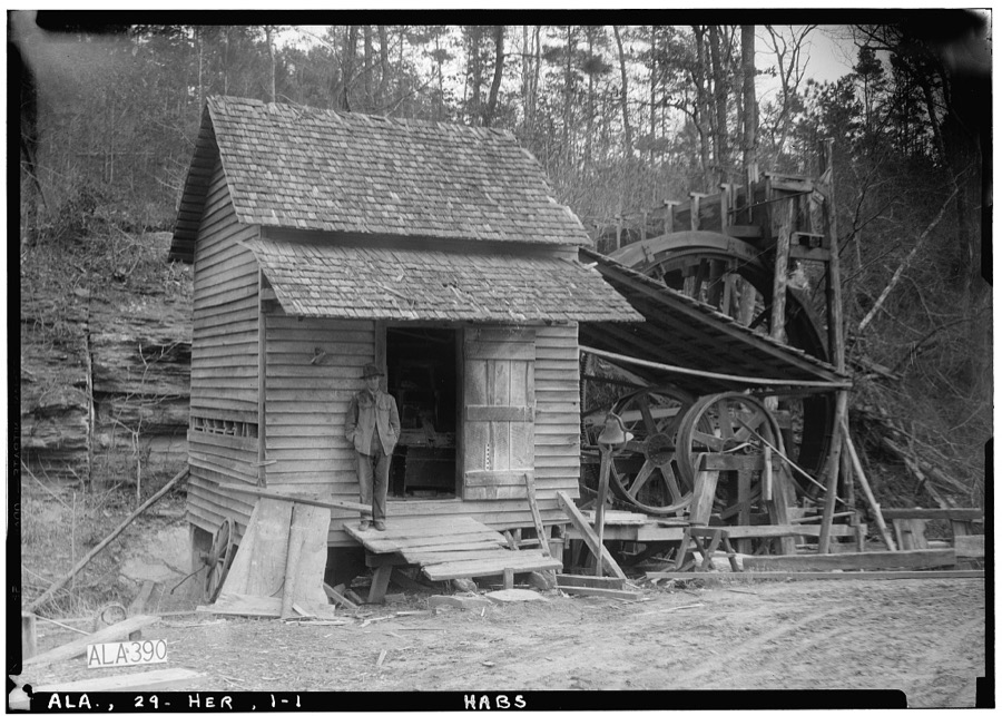
Every property in this county listed on the National Register of Historic Places, with the year it was listed and the federal nomination document.
| Photograph | Property | Type | Listed | Reference |
|---|---|---|---|---|
 | Fayette County Courthouse District | district | 1976 | 76000326 |
 | Fayette County Courthouse Historic District (Boundary Increase) | district | 2014 | 12001020 |
| John Clifford Grimsley House | building | 2018 | 16000834 | |
| Edward Rose House | building | 1995 | 95001020 |
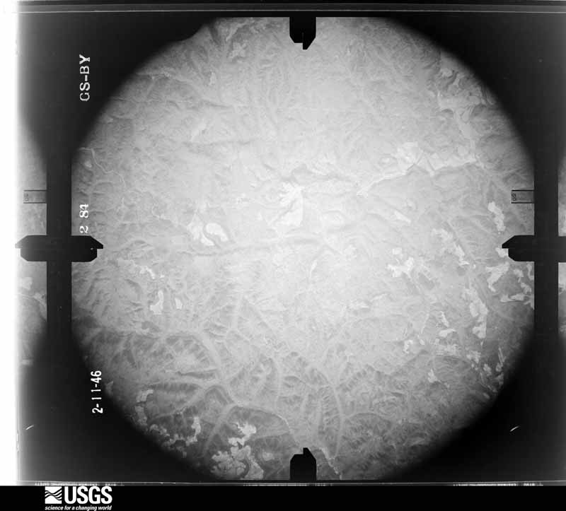
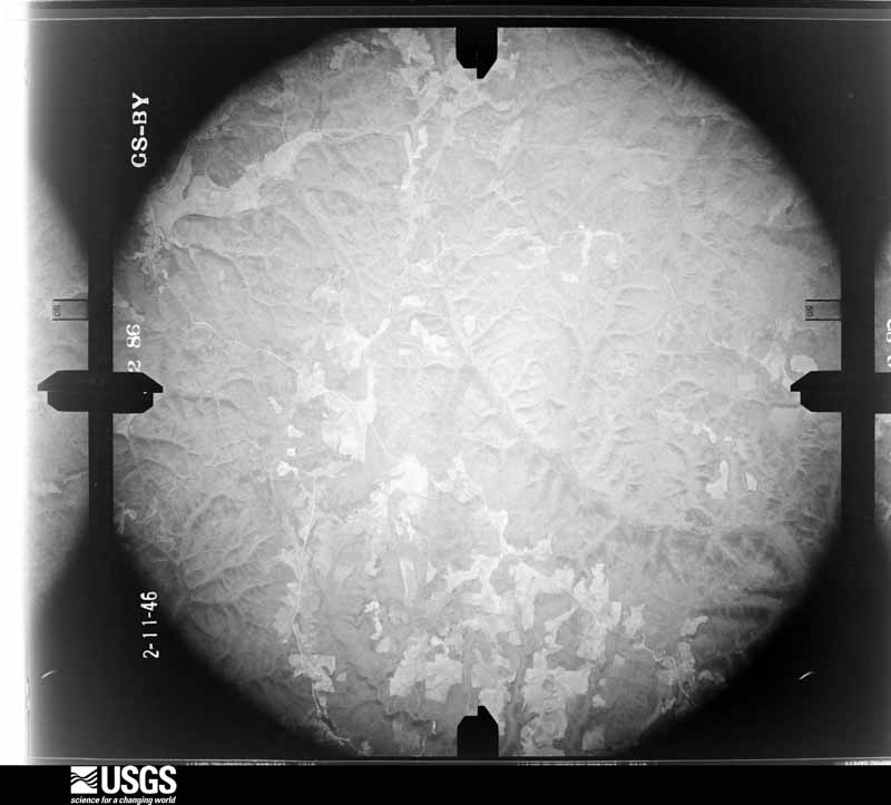
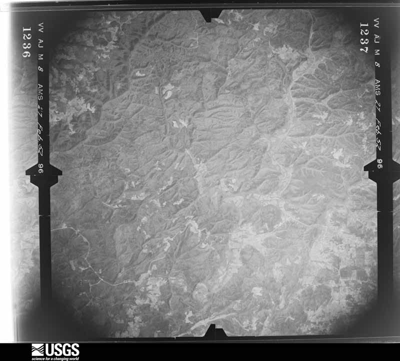
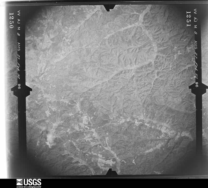
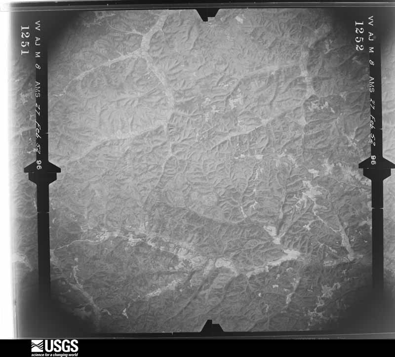
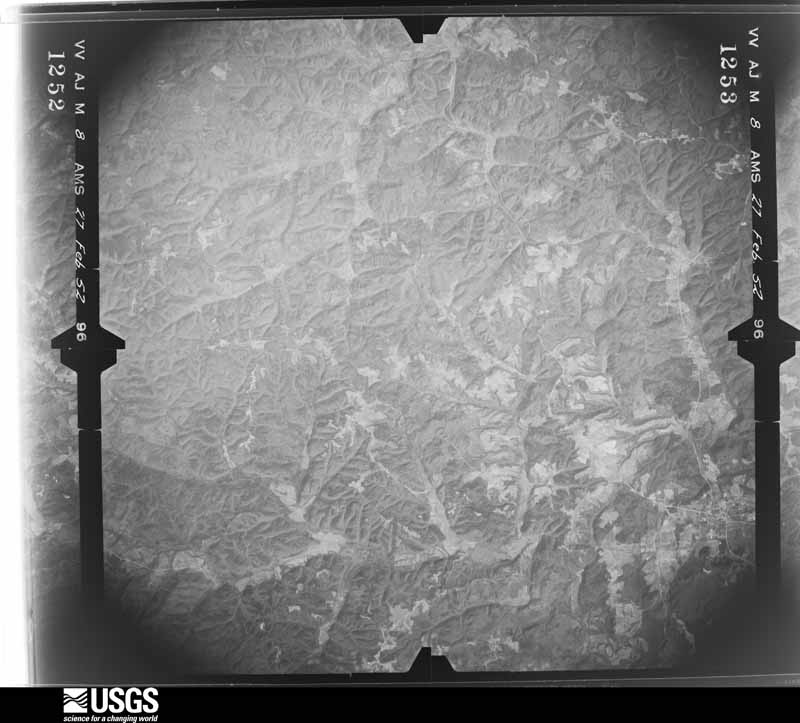
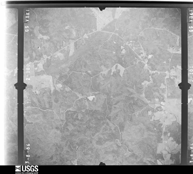
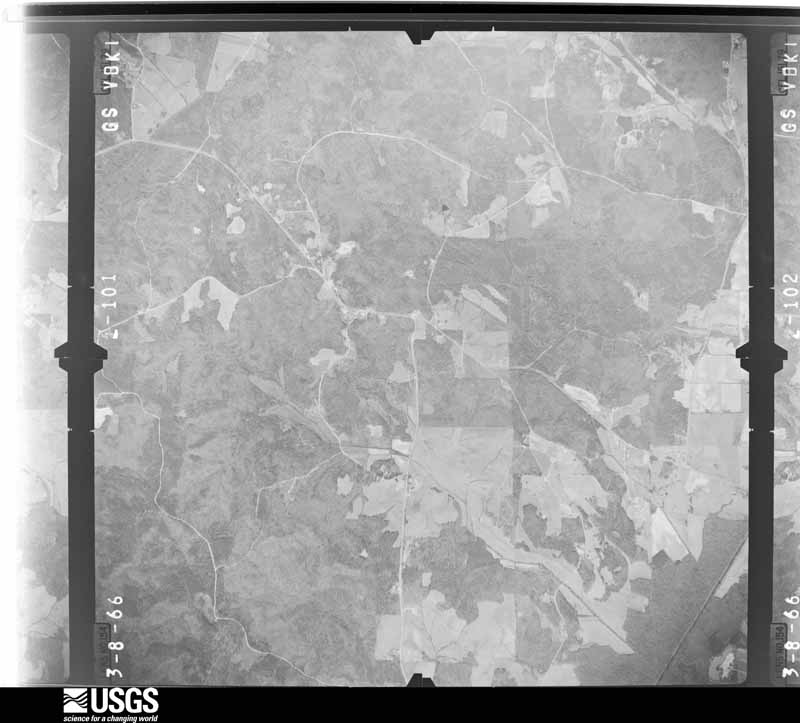
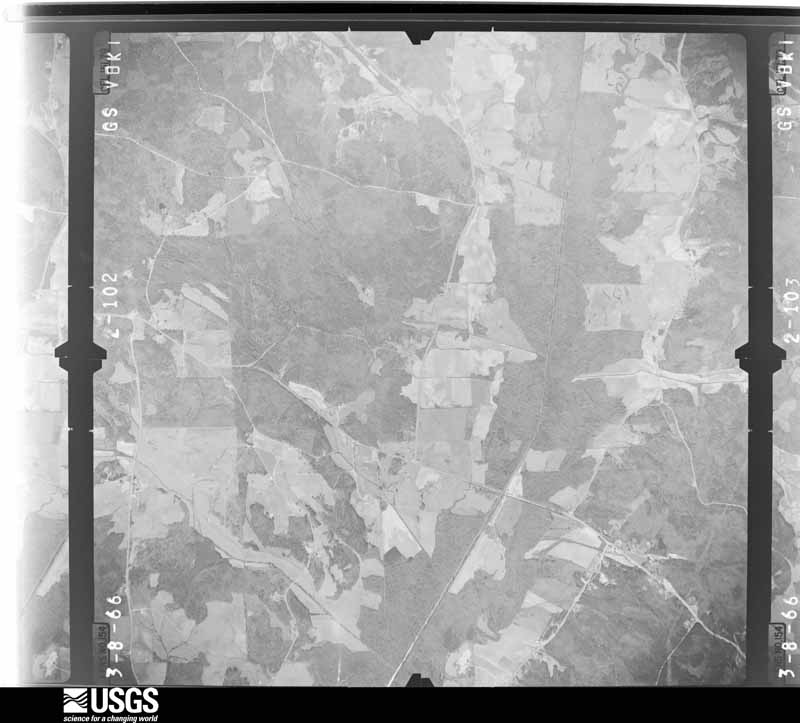
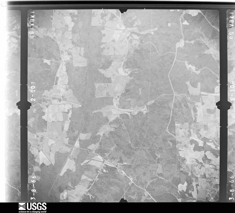
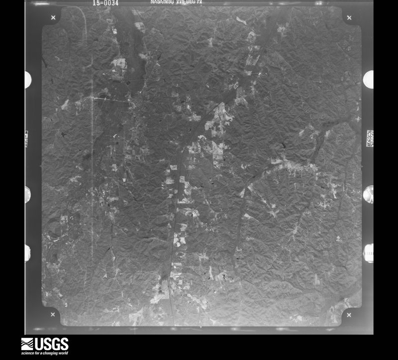
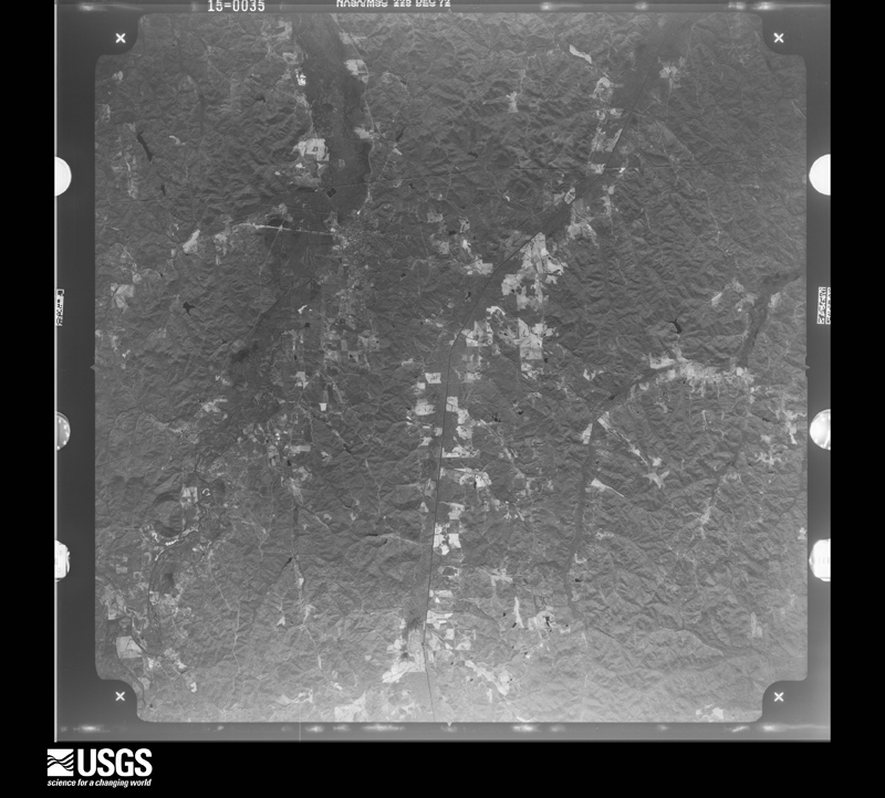
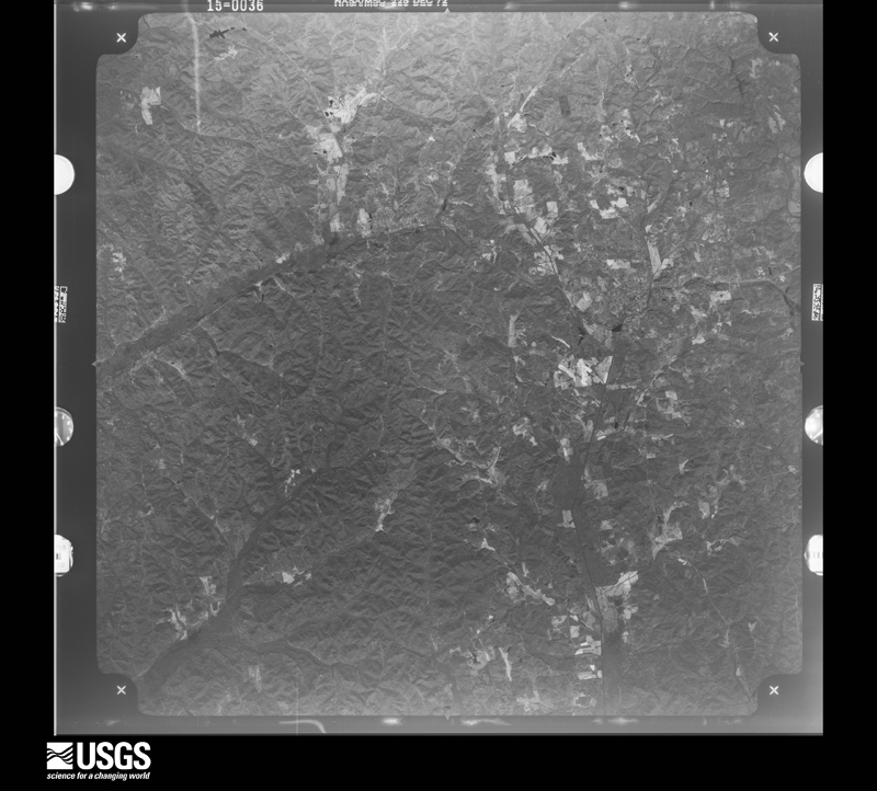
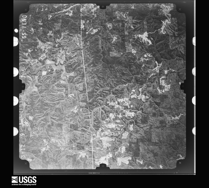
Flown by the U.S. Geological Survey between 1937 and 1989, the Aerial Photo Single Frames collection is the definitive mid-century view of the land: fields, roads and rivers as the camera saw them. The Survey holds 539 frames inside the rectangle that bounds this county; the 20 frames below were taken over the county itself, chosen across the decades of flights (at most four a year from that rectangle), so one flight cannot crowd out the rest. The full set is free to browse and download at EarthExplorer under the dataset Aerial Photo Single Frames.






The thermometers that kept this county's weather, and the gages that measured the flow of its streams, as the federal records hold them. The extremes below are measured values from those records, not estimates.
Who lived here in 1950, one enumeration district at a time, as the Census Bureau described each district. Each row opens its official National Archives result, with Population Schedules and ED Maps available there.
Every wildfire the federal occurrence database records inside this county: 683 of them, burning about 7,640 acres. 22 started naturally and 262 were recorded as arson. Each settlement page carries the fires within five miles of it.
| Reported cause | Fires |
|---|---|
| Arson/incendiarism | 262 |
| Debris and open burning | 185 |
| Missing data/not specified/undetermined | 100 |
| Recreation and ceremony | 51 |
| Natural | 22 |
| Equipment and vehicle use | 18 |
| Smoking | 16 |
| Railroad operations and maintenance | 13 |
| Misuse of fire by a minor | 9 |
| Other causes | 4 |
| Power generation/transmission/distribution | 3 |
The five largest, by the area the report gives. Four of them were set deliberately.
| Date | Cause | Size | Reported by | Name on the report |
|---|---|---|---|---|
| 15 September 1999 | Arson/incendiarism | 631 acres | Alabama Forestry Commission | not named |
| 27 July 2000 | Natural | 400 acres | Alabama Forestry Commission | not named |
| 27 March 2018 | Arson/incendiarism | 355 acres | Alabama Forestry Commission | 20180327-5 |
| 18 July 2000 | Natural | 180 acres | Alabama Forestry Commission | not named |
| 13 September 2010 | Missing data/not specified/undetermined | 142 acres | Alabama Forestry Commission | THE CHRISTIAN FIRE |
| 16 June 2020 | Arson/incendiarism | 140 acres | Alabama Forestry Commission | 20200616-7 |
| 8 October 2016 | Smoking | 137 acres | Alabama Forestry Commission | 20161008-16 |
| 31 March 2014 | Arson/incendiarism | 120 acres | Alabama Forestry Commission | NWR-20140331-001 |
Every settlement page carries the fires within five miles of it - see the settlement index below.
The NOAA Storm Events Database holds 317 reports for this county, causing 7 deaths, 42 injuries and about $40,405,230 in recorded property damage. Each settlement page carries the reports that name it.
| Kind of event | Reports |
|---|---|
| Thunderstorm Wind | 178 |
| Hail | 63 |
| Tornado | 56 |
| Flash Flood | 15 |
| Funnel Cloud | 3 |
| Lightning | 1 |
| Heavy Rain | 1 |
The most serious of them, by death, then injury, then recorded damage. The accounts are quoted exactly as the forecast office filed them.
| When | Event | Place named | Harm | What the report says |
|---|---|---|---|---|
| April 2011 | Tornado (EF3) | Alta | 4 killed, $6,600,000 | The fifth segment of this long track tornado entered Fayette County for the second time at CR 83, south of Boley Springs, and moved northeast where it exited Fayette County south of Blue Water Trace Rd . This tornado began in Pickens County, 5 miles northeast of Pickensville, and tracked through Tuscaloosa, Fayette, Walker, Cullman (See Storm Data for Huntsville), and Blount Counties, before it dissipated in Marshall (See Storm Data for Huntsville) County. While the average path width of this tornado in this portion of Fayette County was around 0.5 mile (880 yds), the tornado maximum path width was 0.75 mile (1320 yds) as it entered the county. The tornado strengthened to an EF3 rating, with winds of 140 mph, as it crossed CR 83 in Fayette County, where a mobile home was completely destroyed, with the remaining debris thrown a considerable distance, which resulted in 2 fatalities. The tornado continued northeast, where it crossed Wilcutt Road and CR 46, where several additional mobile homes were completely destroyed and the debris thrown a considerable distance. This resulted in two additional fatalities. Along this path, two homes sustained complete roof loss or partial roof loss, respectively. In addition, several cars were thrown and destroyed, and a building sustained extensive damage to the exterior brick veneer. The tornado caused considerable damage to trees, completely debarked trees with only stubs of largest branches as it continued northeast toward the Walker County line. |
| April 1974 | Tornado (F4) | not stated | 2 killed, 29 hurt, $25,000,000 | no account filed |
| May 2001 | Thunderstorm Wind | Fayette | 1 killed, 3 hurt, $35,000 | A thunderstorm moving from the southern portion of Fayette County northward downed trees and caused power outages. One tree fell onto a mobile home on the north side of the city of Fayette killing a 36-year-old man and injuring three other people in the mobile home at the time. |
| April 2011 | Tornado (EF1) | Berry | 4 hurt, $1,400,000 | A tornado developed along a Quasi-Linear Convective System. It touched down in southeast Fayette County, east of AL Hwy 13, along AL Hwy 18, southwest of Berry. This tornado maintained a small path width, averaging around 0.10 mile (176 yds). The tornado track paralleled AL Hwy 13 where it damaged several barns and knocked down many trees. The tornado moved through downtown Berry, where numerous businesses and homes sustained roof and wall damage. The damage was consistent with an EF1 rating and winds of 100 mph. As the tornado moved northeast of town, it weakened and dissipated near AL Hwy 18 and Simmons Rd. |
| November 2002 | Tornado (F3) | Fayette | 3 hurt, $500,000 | no account filed |
| February 1951 | Tornado (F2) | not stated | 2 hurt, $25,000 | no account filed |
| April 2000 | Tornado (F1) | Bankston | 1 hurt, $85,000 | The tornado began 3 miles southwest of Studdards Crossroads. Studdards Crossroads is located at the intersection of SR 102 and CR 63. The tornado traveled in a northeast direction for about 3 miles. The damage path was fairly narrow and was estimated to be only 50 yards at its widest point. The damage was primarily downed trees and some snapped trees. There were two residences in the path of the tornado, one of which was a mobile home. The frame house suffered significant damage. The roof was completely blown off, and the back wall was ripped away as the roof was displaced to the back side of the house. The mobile home was located only 20 yards from the frame house, but only suffered minor damage. One elderly person, who was in the frame house, sustained minor injuries. Beginning: 33 46.596/87 37.308 Ending: 33 47.763/87 34.461 |
| April 2011 | Tornado (EF3) | Hubertville | $3,000,000 | A tornado touched down 4 miles west of Hubbertville, just west of US Hwy 43. The tornado tracked to the northeast where it knocked down hundreds of trees and destroyed at least two single family homes along CR 49, north of Hubbertville. As the tornado continued northeastward, several barns and outbuildings were damaged or destroyed. Damage associated with this tornado was consistent with winds of 145 mph and an EF3 rating. The tornado lifted near County Road 24, approximately 2 miles south of Bazemore. |
| November 2001 | Tornado (F3) | Belk | $800,000 | no account filed |
| April 2014 | Tornado (EF1) | Bazemore | $250,000 | The tornado touched down near the intersection of County Road 73 and County Road 53 in northern Fayette County. Five to ten trees were either snapped or uprooted with some minor roof damage to a home at the initial touchdown. The tornado then crossed County Road 65 near Eldridge Road where a couple of outbuildings lost portions of their roof. The tornado intensified as it crossed County Road 53 near the intersection of Eldridge Road. Here a couple of outbuildings were near total losses, dozens of trees were blown down, and a residence sustained minor damage. The tornado continued northeast and crossed into Marion County. |
| February 2001 | Thunderstorm Wind | Countywide | $250,000 | Fayette County reported numerous trees and power lines blown down throughout the county. A number of the trees fell onto automobiles and homes causing major damage. A doctors office had its roof torn off in Fayette, and one mobile home was overturned. No injuries were reported. |
| January 1974 | Tornado (F3) | not stated | $250,000 | no account filed |
| March 1961 | Tornado (F3) | not stated | $250,000 | no account filed |
| November 2002 | Tornado (F3) | Fayette | $200,000 | no account filed |
| February 2008 | Tornado (EF2) | Newtonville | $100,000 | A tornado that would eventually cross 3 county lines first touched down in southeastern Fayette County, about a mile southeast of the Newtonville Community. From there the tornado moved on a northeast path, for about 6.5 miles, before crossing briefly into Tuscaloosa County. In this segment of its path, damage was generally light until the tornado approached the Tuscaloosa County Line, when several mobile homes were hit and badly damaged. The tornado crossed into Tuscaloosa County just south of Fayette CR-68. |
| April 2011 | Tornado (EF1) | Newtonville | $81,000 | The third segment of this long track tornado crossed into southeastern Fayette County southeast of Concord and quickly crossed New Hope Rd before it moved into Tuscaloosa County at CR 12, south of New Lexington. This tornado began in Pickens County, 5 miles northeast of Pickensville, and tracked through Tuscaloosa, Fayette, Walker, Cullman (See Storm Data for Huntsville), and Blount Counties, before it dissipated in Marshall (See Storm Data for Huntsville) County. Both the average and maximum path width of this tornado in this portion of Fayette County was around 0.3 mile (528 yds). The tornado strengthened slightly to an EF1 rating, with winds of 100 mph, as it entered this area of Fayette County. Many trees were snapped or uprooted, along with significant branch damage, occurred along this portion of the path, particularly along and near Old Country Rd. |
| April 2010 | Tornado (EF1) | Bankston | $77,000 | The tornado touched down near the intersection of CR-15 and Fulmer Road, just west of US-43. It then tracked northeastward for about 6.5 miles, crossing US-43 and CR-63 on the southern city limits of Berry. Four homes on CR-56 southwest of Berry received minor damage, ranging from shingle damage to garage door blown in. One metal outbuilding was destroyed. Around 50 trees were snapped or uprooted along the path. |
| April 1996 | Thunderstorm Wind | Fayette | $75,000 | no account filed |
| September 2005 | Tornado (F1) | Belk | $70,000 | no account filed |
| March 2009 | Tornado (EF1) | Belk | $50,000 | The tornado that touched down in southeastern Lamar County moved into southwestern Fayette County. It continued to travel northeastward, across Junkins Drive, Brazeal Road, Wesley Chapel Road, and Howard Drive. It lifted just north of the intersection of Summers Road and AL-159. In addition to numerous trees that were snapped and uprooted, the tornado also damaged two homes, one business shop, and at least 5 outbuildings. A 17 foot camper was pushed 3 feet sideways in the mud due to the force of the wind. A family that was in one of the homes at the time heard the warning via NOAA Weather Radio and went to their storm cellar. They then heard the roar of a jet as the tornado passed overhead, but they made it through the event without any injuries. |
| August 2007 | Lightning | Fayette | $50,000 | One house fire and 2 forest fires were started by lightning. |
| March 2007 | Tornado (EF1) | Bluff | $50,000 | The tornado touched down near the intersection of State Highway 107 and Paul Colburn Road, near the Bluff community. It then tracked northeastward and crossed US Highway 43, before lifting just northeast of AL 129 and CR 24. Several homes and storage buildings were damaged along the path. Numerous trees were blown down or snapped off. |
| March 2006 | Thunderstorm Wind | Countywide | $50,000 | The most significant damage occurred in the northern part of the county, from the Fayette and Bazemore areas nothward. Numerous trees were blown down, snapped off and uprooted, and dozens of homes suffered varying degrees of roof damage. A few out-buildings and barns sustained damage, and the debris from one barn was blown 100 yards downwind. Small hail collected several inches deep in places. Wind gusts were estimated between 65 and 75 mph. |
| April 1994 | Thunderstorm Wind | Fayette | $50,000 | Trees and power lines were downed in thunderstorm winds. Though Fayette was reportedly the hardest hit area, downed trees were scattered throughout the county. |
| June 1994 | Thunderstorm Wind | Fayette | $50,000 | Thunderstorm winds downed trees in the city of Fayette in Fayette County according to the Sheriff's Department. |
| November 2002 | Tornado (F1) | Berry | $45,000 | The sixth tornado of the evening, the Boley Springs Tornado, occurred in extreme southeast Fayette County beginning at 9:10 pm. The tornado first touched down on the south side of County Road 46 about a mile west of Boley Springs. The tornado crossed CR 46 going across the north side of Boley Springs. A lumber mill was damaged along with a mobile home. Numerous trees were downed.The tornado then moved into open country where additional trees were downed. It ended around 9:15 pm about 3.9 miles east-northeast of Boley Springs. This was rated an F1 tornado, with a path length of 4.3 miles and width of 90 yards. No injuries or deaths were reported with this tornado. |
| June 1998 | Thunderstorm Wind | Countywide | $45,000 | Numerous trees and power lines were down across the county. |
| April 2011 | Flash Flood | Hubertville | $30,000 | Flooding was observed across the northern portions of Fayette County, described as where flooding had not been observed in a long time. |
| April 2000 | Flash Flood | Countywide | $30,000 | Numerous roads throughout the county were flooded and were temporarily impassible. A few trees fell over across the county due to the saturated ground conditions. Doppler radar estimated that two to four inches fell in a short period of time on already saturated ground. |
| January 1998 | Flash Flood | Countywide | $30,000 | no account filed |
| March 2006 | Tornado (F0) | Fayette | $27,000 | An F0 tornado touched down in rural northern Fayette County approximately 1.8 miles south of Winfield. The tornado began near the intersection of County Road 21 and County Road 49, traveled northeastward, and ended near US Highway 43 and Benton Road. One mobile home was destroyed and several trees were either blown down or snapped off along the path. |
| May 2008 | Tornado (EF1) | Bazemore | $25,000 | The tornado initially touched down about two and a half miles southwest of the Bazemore Community, one mile north of the intersection of CR-50 and SR-129. The tornado then moved east-northeasward and crossed into Walker County near Barron Creek at State Highway 13. In Fayette County, this tornado destroyed one shed, and damaged another. Other damage in Fayette County was generally light, and confined mostly to snapped off and uprooted trees. |
| April 1996 | Thunderstorm Wind | Berry | $25,000 | no account filed |
| November 1983 | Tornado (F1) | not stated | $25,000 | no account filed |
| May 1979 | Tornado (F1) | not stated | $25,000 | no account filed |
| March 1962 | Tornado (F2) | not stated | $25,000 | no account filed |
| May 1952 | Tornado (F1) | not stated | $25,000 | no account filed |
| May 1952 | Tornado (F1) | not stated | $25,000 | no account filed |
| May 1952 | Tornado (F1) | not stated | $25,000 | no account filed |
| February 1952 | Tornado (F3) | not stated | $25,000 | no account filed |
| April 2011 | Thunderstorm Wind | Bluff | $20,000 | Trees and power lines were blown down across numerous locations in Fayette County. A tree fell onto a house southeast of Glen Allen. Fallen trees and power lines blocked a portion of AL-102, near the intersection of of CR-53. |
| April 2010 | Thunderstorm Wind | Bankston | $20,000 | A tree fell onto and damaged a car and a business building on AL-18, in the Bankston community. |
| April 2010 | Tornado (EF1) | Alta | $20,000 | The tornado touched down in southeastern Fayette County about 4 miles northeast of Berry. It then tracked northeastward through mostly a wooded rural area, before crossing into Walker County. In Fayette County, damage was mainly confined to about 2 dozen trees that were snapped and uprooted. |
| June 2009 | Thunderstorm Wind | Belk | $20,000 | Several trees were blown down onto a house, in the Belk community, briefly trapping people inside. |
| April 2008 | Thunderstorm Wind | Bazemore | $20,000 | Thunderstorm winds caused damage at two closely located areas along CR 53, south of the Bazemore Community. A large tree was uprooted, which fell on both a home and a shed. Damage to the home's roof was minor, but the shed was destroyed. Several other trees were snapped and uprooted. The wind speed was estimated to be around 75 mph. |
| April 2006 | Thunderstorm Wind | Countywide | $20,000 | Trees were downed countywide, with the biggest concentration in the town of Berry, where one home was damaged. |
| February 2001 | Thunderstorm Wind | Countywide | $20,000 | Numerous trees and power lines were snapped off or blown down in the northern part of the county. Hail of unknown size accompanied these storms. |
| March 1996 | Thunderstorm Wind | Fayette | $20,000 | no account filed |
| March 1996 | Hail | Fayette | $20,000 | no account filed |
| July 1995 | Thunderstorm Wind | Fayette | $18,000 | Fayette police reported trees down in Fayette, one large tree fell on a laundromat on the south side of Fayette. ALABAMA, North Central Cont'd |
| April 2011 | Thunderstorm Wind | Fayette | $15,000 | In addition to numerous trees down across Fayette county, a metal roof was partially blown off a factory building in the city of Fayette. |
| June 2010 | Thunderstorm Wind | Glen Allen | $15,000 | A canopy of a gas station was blown off at AL-171 and CR-146. |
| May 2001 | Thunderstorm Wind | Fayette | $15,000 | A second thunderstorm, moving from west to east, moved across the southern portion of Fayette County downing trees and causing power outages. A large scoreboard at Fayette High School was destroyed by the wind. There were several reports of funnels clouds with this storm and the earlier storm. |
| January 1999 | Tornado (F0) | Fayette | $15,000 | A tornado touched down briefly in northeast Fayette County on CR 44 about 8 tenths of a mile west of SR 13. A house sustained roof damage and a several trees were uprooted. |
| July 1996 | Thunderstorm Wind | Fayette | $15,000 | no account filed |
| April 2005 | Thunderstorm Wind | Newtonville | $11,000 | Several trees were blown down across the southern part of the county. |
| May 2003 | Thunderstorm Wind | Countywide | $11,000 | Several trees were blown down across the county associated with a supercell. |
| February 2011 | Thunderstorm Wind | Fayette R Arthur Arp | $10,000 | A roof was blown off a building. |
| January 2009 | Flash Flood | Fayette | $10,000 | Heavy rainfall produced flooding at several locations across Fayette County. At least one business on Temple Avenue, in the city of Fayette, was damaged due to flood waters. |
| June 2009 | Thunderstorm Wind | Belk | $10,000 | Numerous trees were blown down across the width of Fayette County, from the Belk community and city of Fayette in the west, to the city of Berry and Boley Springs community in the east. |
The Survey's mineral resources record lists 15 workings inside this county. 10 still produce and 5 are closed or unrecorded. Each settlement page carries the workings within five miles of it.
| Commodity | Workings |
|---|---|
| Sand and Gravel, Construction | 11 |
| Stone, Crushed/Broken | 3 |
| Aluminum | 1 |
The least common of them first, because a county's hundredth gravel pit says nothing its first ten did not.
| Where | Site | Commodity | Status | Recorded |
|---|---|---|---|---|
| Waste Pond North River Mine | Aluminum | Occurrence | Illite, Kaolinite | |
| Berry Quarry | Stone, Crushed/Broken | Producer | ||
| Berry Rock & Materials, Inc. Quarry | Stone, Crushed/Broken | Past Producer | ||
| Quarry | Stone, Crushed/Broken | Past Producer | ||
| Beasley Pit | Sand and Gravel, Construction | Producer | ||
| Carroll Pit | Sand and Gravel, Construction | Producer | ||
| Fayco Inc Pit | Sand and Gravel, Construction | Producer | ||
| Fayette County Pit | Sand and Gravel, Construction | Producer | ||
| Fayette Fayeet Pit | Sand and Gravel, Construction | Producer | ||
| Fayette Pit | Sand and Gravel, Construction | Past Producer | ||
| Hubberville Pit | Sand and Gravel, Construction | Producer | ||
| Moores Bottom Pit | Sand and Gravel, Construction | Past Producer | ||
| Nichols Materials | Sand and Gravel, Construction | Producer | ||
| Smith Pit | Sand and Gravel, Construction | Producer | ||
| Unnamed Quarry | Sand and Gravel, Construction | Producer | Quartz |
Named settlements recorded in the Geographic Names Information System, each with the topographic sheets covering it. Villages, hamlets and abandoned places alike. Each is shown with the nearest named watercourse or landform and the survey quadrangle it falls on. The 1 place that was also surveyed for fire insurance comes first, with the number of atlases and photographs held for them.
Fayette census division · 35555 · On Boxes Creek · Fayette quadrangle
10 sheets, 1953 to 1984
Fire insurance: 2 atlases
Berry census division · 35542 · On Little Piney Creek · Bankston quadrangle
10 sheets, 1953 to 1984
Winfield-Glen Allen census division · 35594 · On Tucker Branch · Glen Allen quadrangle
11 sheets, 1953 to 1984
Berry census division · 35546 · On Little Cedar Creek · Berry quadrangle
12 sheets, 1953 to 1984
Winfield-Glen Allen census division · 35594 · On Moss Creek · Winfield quadrangle
11 sheets, 1953 to 1984
Berry census division · 35546 · Near Wolf Den Hollow · Berry quadrangle
12 sheets, 1953 to 1984
Berry census division · 35542 · On Ellis Creek · Bankston quadrangle
10 sheets, 1953 to 1984
Northeast Fayette census division · 35542 · Hubbertville quadrangle
10 sheets, 1953 to 1984
Fayette census division · 35555 · On Gumbud Creek · Fayette quadrangle
10 sheets, 1953 to 1984
Winfield-Glen Allen census division · 35555 · On Boxes Creek · Hubbertville quadrangle
10 sheets, 1953 to 1984
Fayette census division · 35555 · Near Goat Hill · Newtonville quadrangle
11 sheets, 1953 to 1984
Fayette census division · 35555 · On Davis Creek · Newtonville quadrangle
11 sheets, 1953 to 1984
Fayette census division · 35555 · On Boxes Creek · Fayette quadrangle
10 sheets, 1953 to 1984
Berry census division · 35546 · Near Coalbed Hollow · Oakman quadrangle
17 sheets, 1893 to 1984
Fayette census division · 35555 · On Fulton Creek · Bankston quadrangle
10 sheets, 1953 to 1984
Northeast Fayette census division · 35549 · Howard quadrangle
11 sheets, 1953 to 1984
Winfield-Glen Allen census division · 35594 · On McDonald Branch · Guin quadrangle
9 sheets, 1953 to 1984
10 topographic sheets and 2 fire insurance atlases, 1928 to 1949
The complete index, with nothing left out. Each of these is a separate record with its own page: a federal survey report, or the case file that argued a property on to the National Register. Both are public domain and reproduced word for word.