 Block
From the record
1 National Register listing published here.
Sources: the National Register database, National Park Service
61 topographic sheets and 15 fire insurance atlases across 3 places.
1 National Register listing published here.
Sources: the National Register database, National Park Service
Every property in this county listed on the National Register of Historic Places, with the year it was listed and the federal nomination document.
| Photograph | Property | Type | Listed | Reference |
|---|---|---|---|---|
| Slocomb Commercial District | district | 2025 | 100011226 |
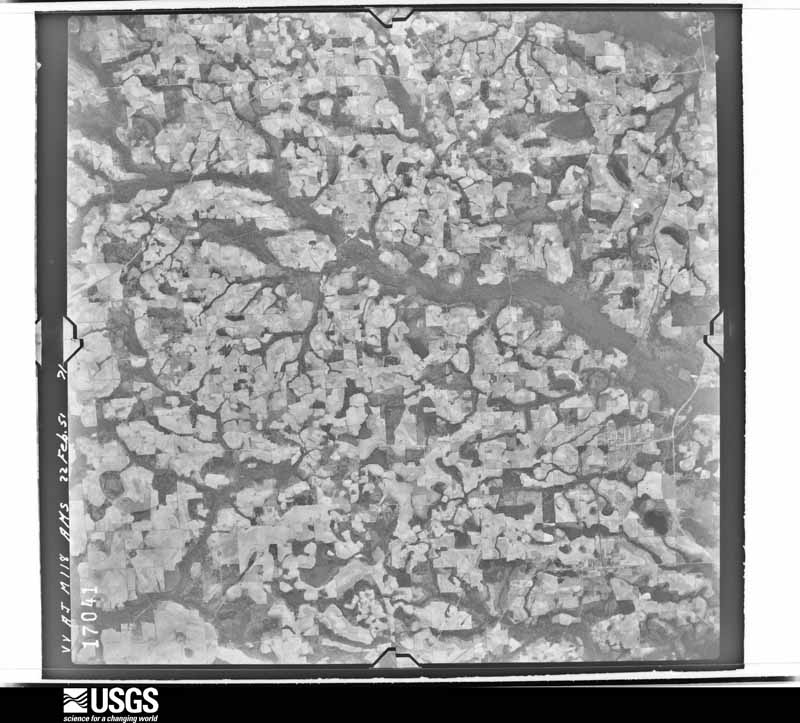
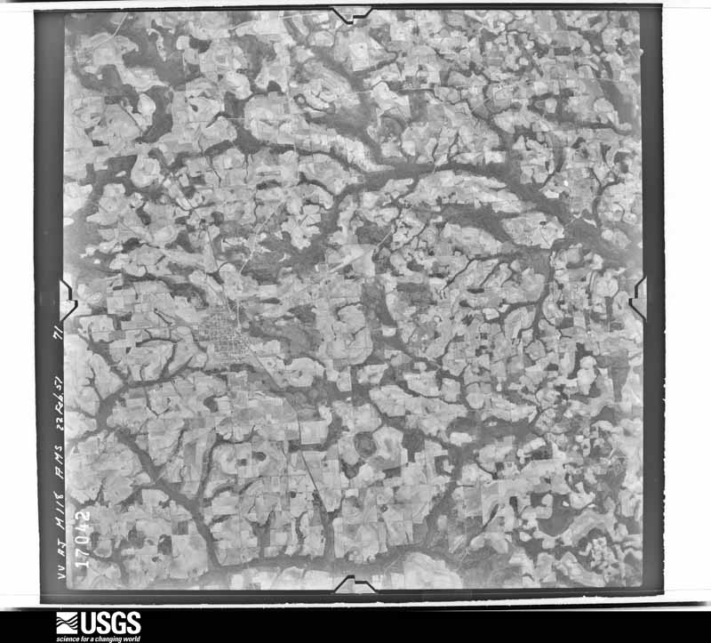
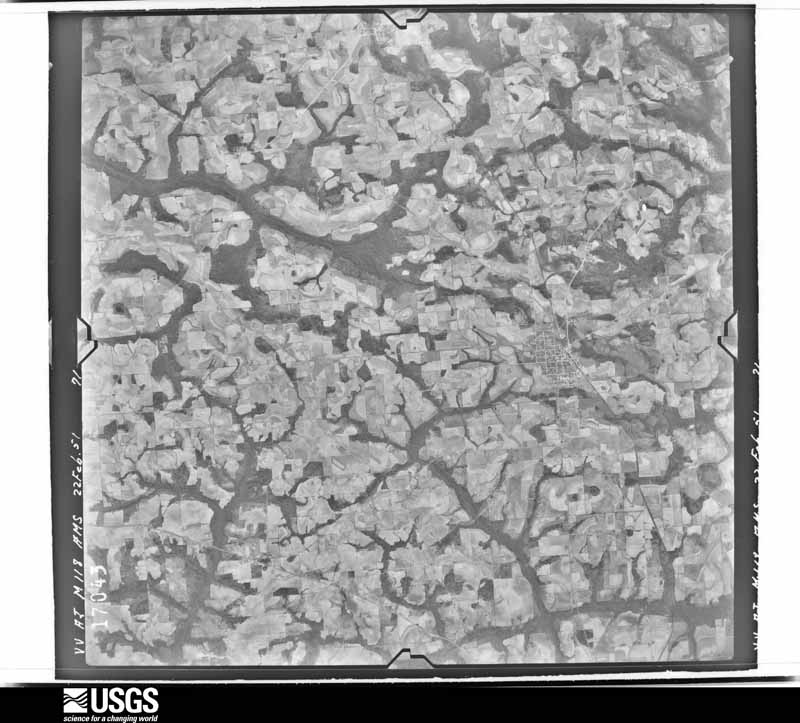
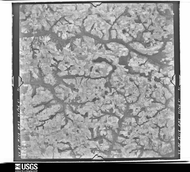
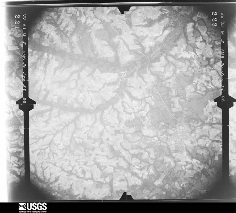
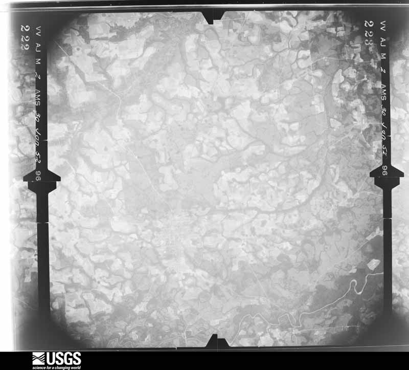
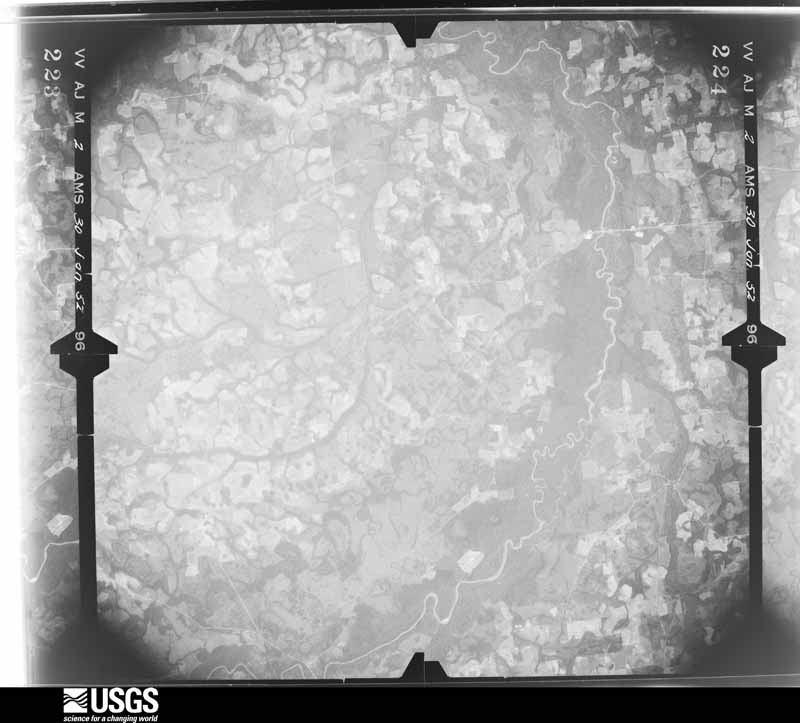
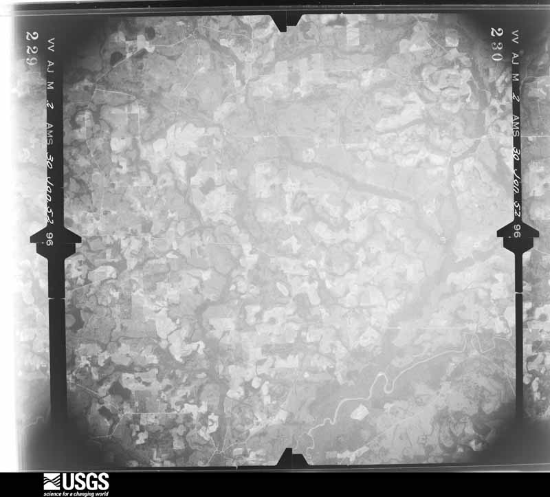
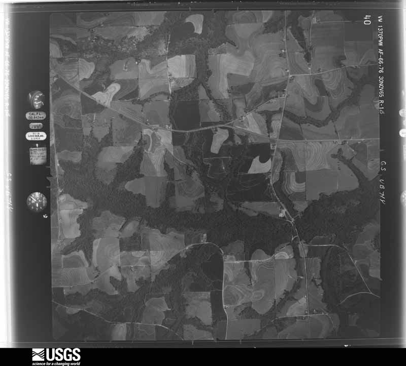
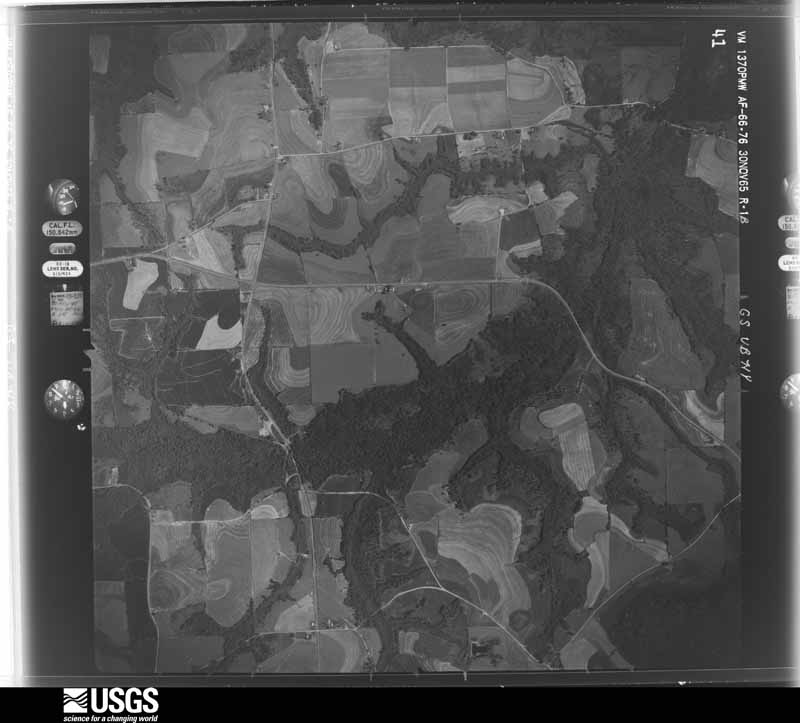
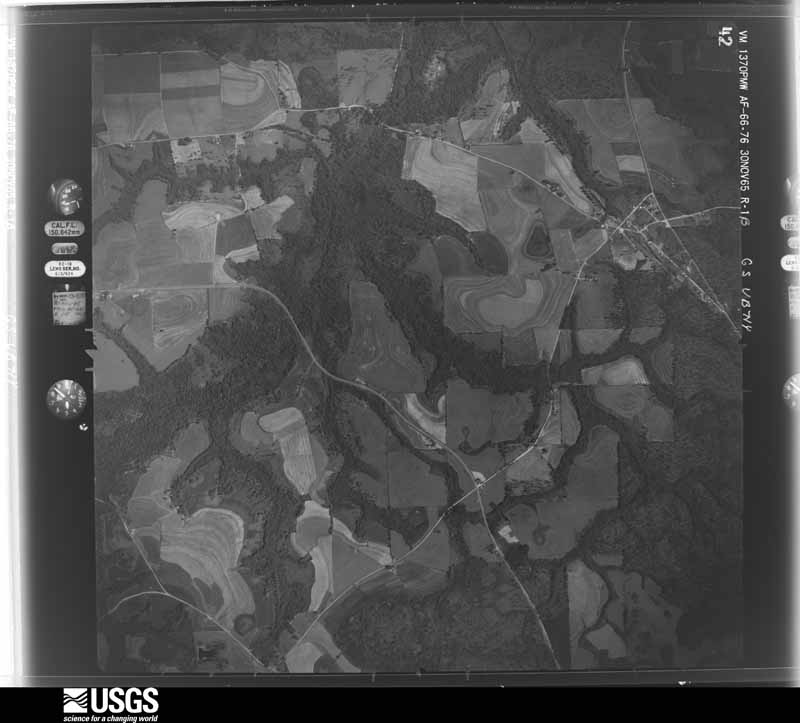
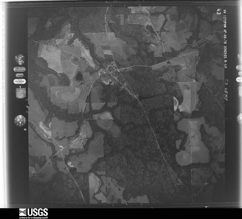
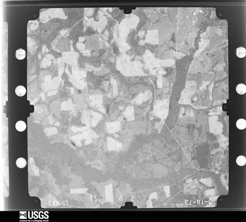
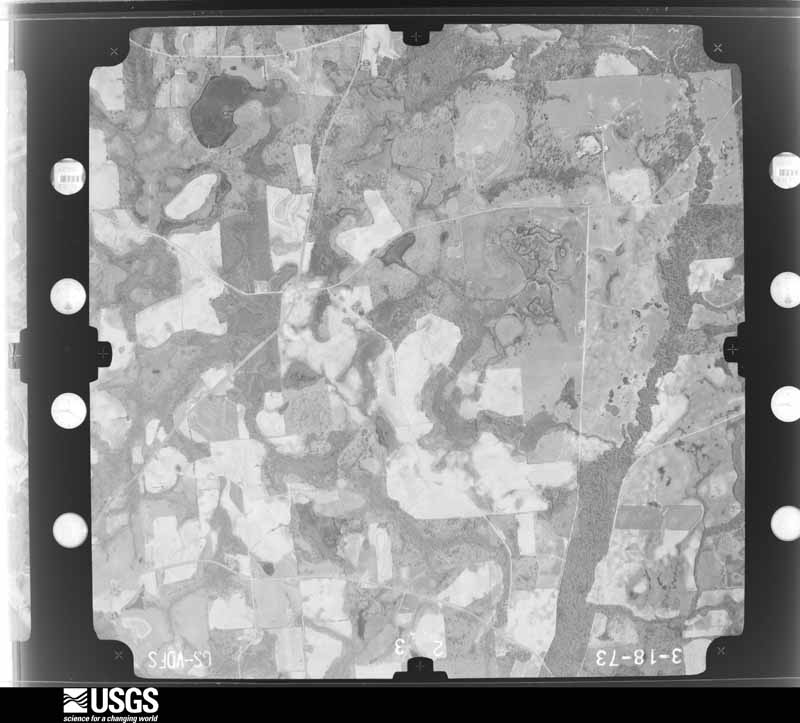
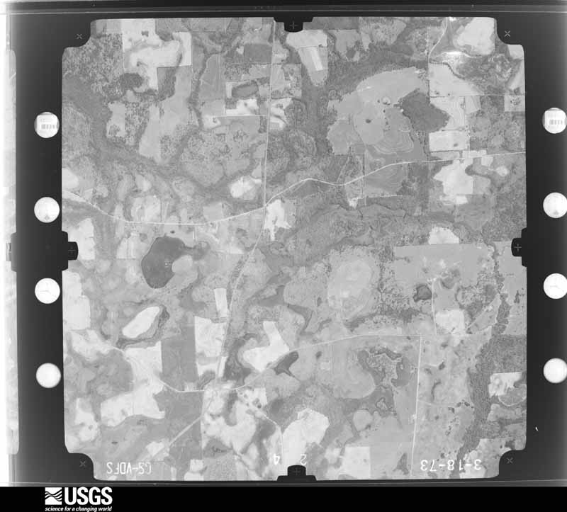
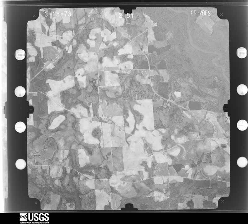
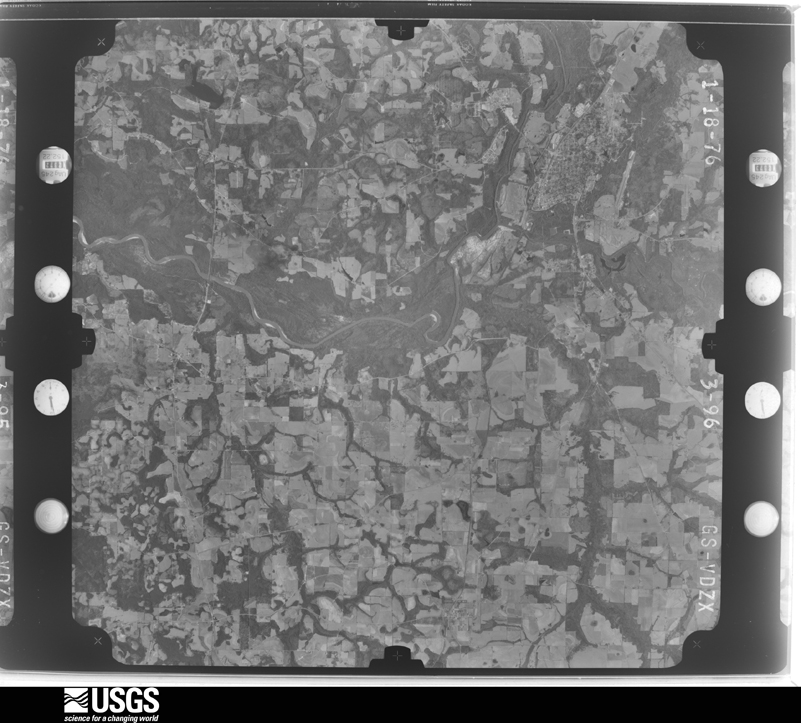
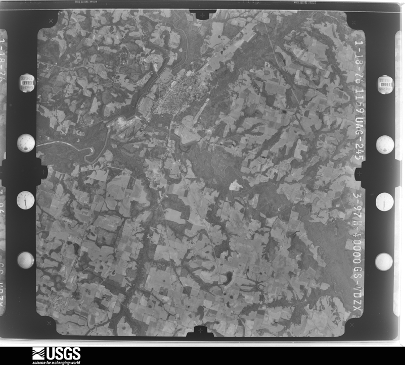
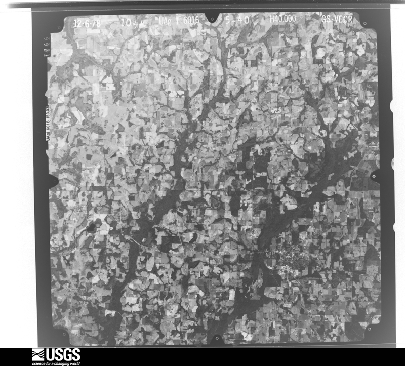
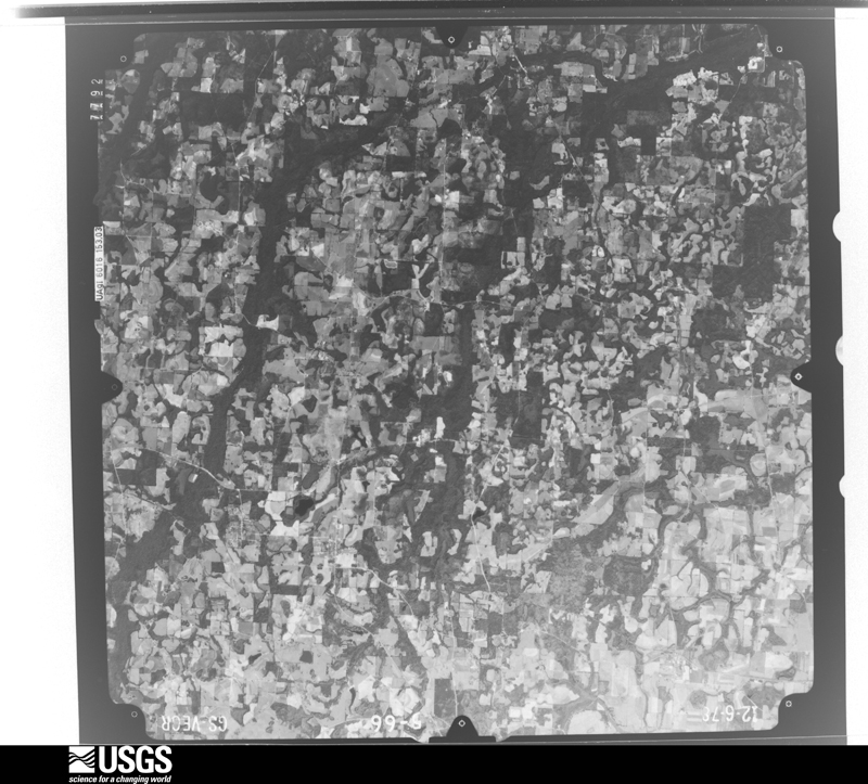
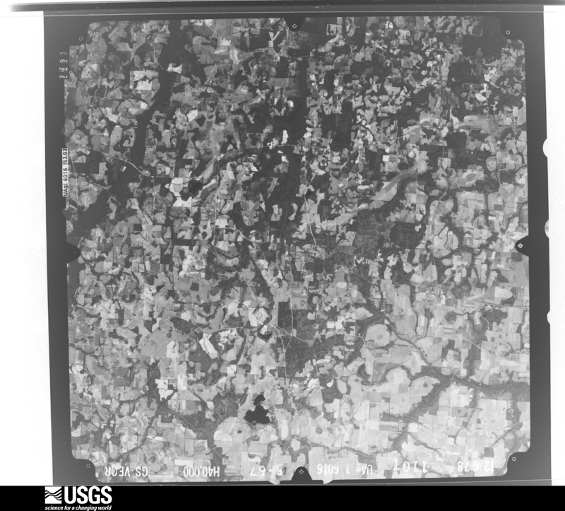
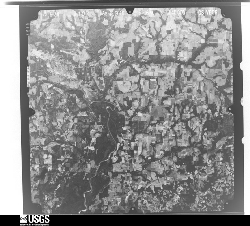
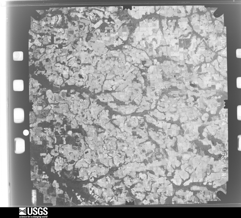
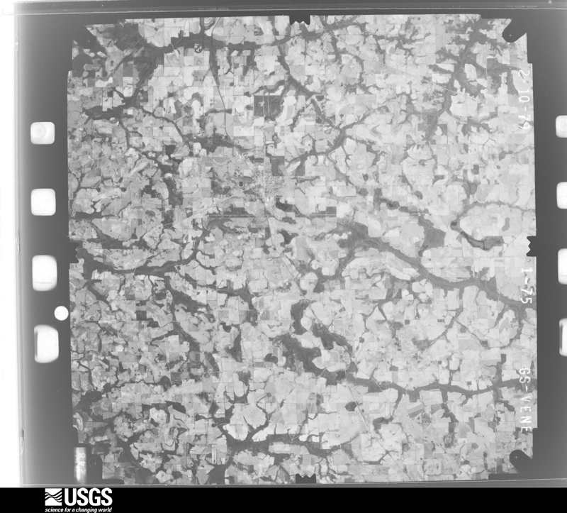
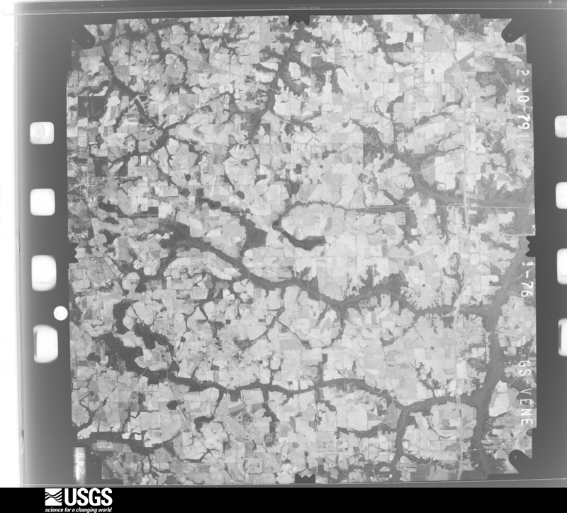
Flown by the U.S. Geological Survey between 1937 and 1989, the Aerial Photo Single Frames collection is the definitive mid-century view of the land: fields, roads and rivers as the camera saw them. The Survey holds 424 frames inside the rectangle that bounds this county; the 32 frames below were taken over the county itself, chosen across the decades of flights (at most four a year from that rectangle), so one flight cannot crowd out the rest. The full set is free to browse and download at EarthExplorer under the dataset Aerial Photo Single Frames.
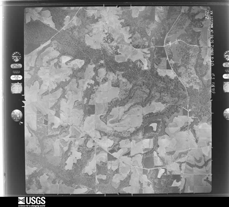
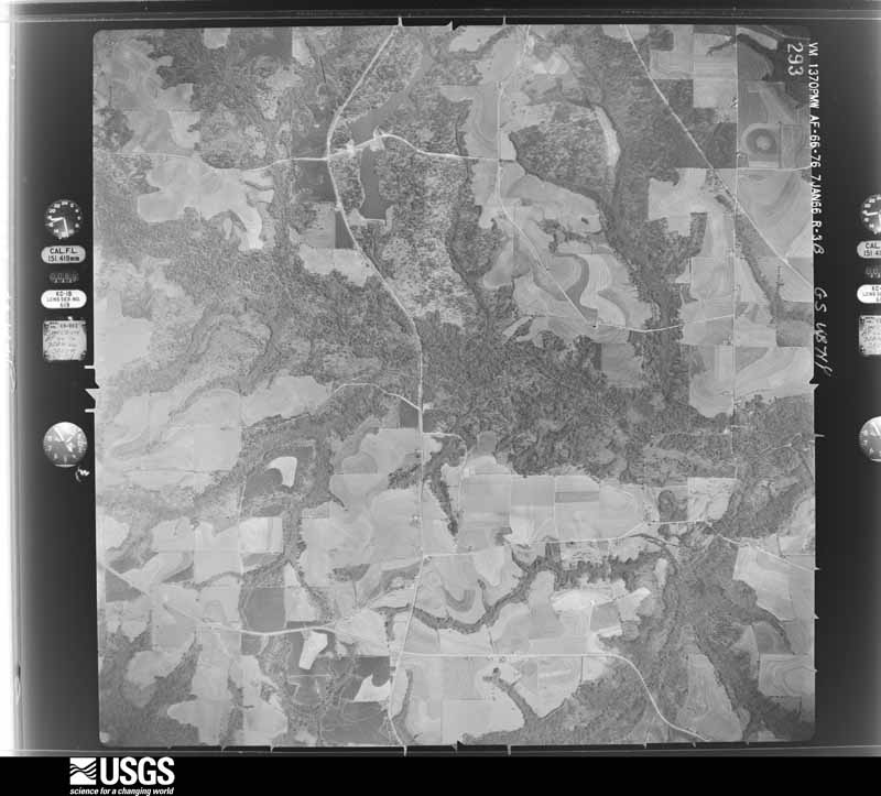
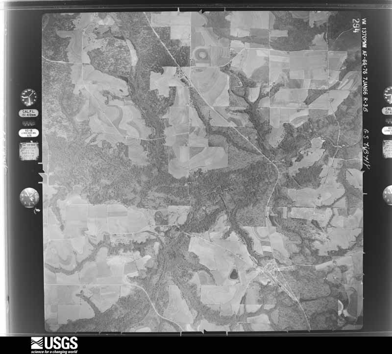
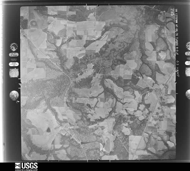



The thermometers that kept this county's weather, and the gages that measured the flow of its streams, as the federal records hold them. The extremes below are measured values from those records, not estimates.
Who lived here in 1950, one enumeration district at a time, as the Census Bureau described each district. Each row opens its official National Archives result, with Population Schedules and ED Maps available there.
Every wildfire the federal occurrence database records inside this county: 390 of them, burning about 3,338 acres. 8 started naturally and 76 were recorded as arson. Each settlement page carries the fires within five miles of it.
| Reported cause | Fires |
|---|---|
| Debris and open burning | 148 |
| Missing data/not specified/undetermined | 85 |
| Arson/incendiarism | 76 |
| Equipment and vehicle use | 34 |
| Recreation and ceremony | 15 |
| Smoking | 9 |
| Natural | 8 |
| Misuse of fire by a minor | 6 |
| Railroad operations and maintenance | 4 |
| Power generation/transmission/distribution | 3 |
| Other causes | 1 |
| Fireworks | 1 |
The five largest, by the area the report gives. One of them was set deliberately.
| Date | Cause | Size | Reported by | Name on the report |
|---|---|---|---|---|
| 7 October 2011 | Missing data/not specified/undetermined | 130 acres | Alabama Forestry Commission | ALAFORE RD., AL |
| 8 August 2010 | Natural | 101 acres | Alabama Forestry Commission | not named |
| 31 January 2015 | Missing data/not specified/undetermined | 100 acres | Alabama Forestry Commission | SER-20150131-010 |
| 16 January 2009 | Equipment and vehicle use | 77 acres | Alabama Forestry Commission | not named |
| 8 March 2009 | Debris and open burning | 63 acres | Alabama Forestry Commission | not named |
| 13 February 2011 | Arson/incendiarism | 60 acres | Alabama Forestry Commission | IRON BRIDGE RD, AL |
| 25 September 2015 | Debris and open burning | 55 acres | Alabama Forestry Commission | SER-20150925-001 |
| 9 May 2017 | Missing data/not specified/undetermined | 52 acres | Alabama Forestry Commission | 20170509-5 |
Every settlement page carries the fires within five miles of it - see the settlement index below.
The NOAA Storm Events Database holds 448 reports for this county, causing 1 death, 20 injuries and about $12,687,850 in recorded property damage. Each settlement page carries the reports that name it.
| Kind of event | Reports |
|---|---|
| Thunderstorm Wind | 316 |
| Flash Flood | 44 |
| Tornado | 32 |
| Hail | 31 |
| Flood | 12 |
| Heavy Rain | 6 |
| Lightning | 4 |
| Funnel Cloud | 3 |
The most serious of them, by death, then injury, then recorded damage. The accounts are quoted exactly as the forecast office filed them.
| When | Event | Place named | Harm | What the report says |
|---|---|---|---|---|
| December 2000 | Tornado (F2) | Geneva | 1 killed, 9 hurt, $2,500,000 | An F2 tornado touched down on West Hendrix Avenue, just north of Highway 27 South, then tore through the Devco Community, Geneva, AL and continued on through the Bellwood Community just east of Highway 85 before lifting. In its wake, the tornado damaged up to 100 homes and destroyed five mobile homes, damaged or destroyed 15 vehicles, and downed numerous trees and power lines. About 6,000 county businesses and homes were without power until the following day. One woman was killed when her mobile home was hurled about 200 feet and destroyed. Nine others were injured, one of them seriously. Geneva County was declared a federal disaster area. Reported by the Geneva County EMA. |
| September 1998 | Tornado (F1) | Samson | 3 hurt, $100,000 | An F1 tornado touched down five miles northeast of Samson off CR 8. One mobile was lifted 50 feet off its foundation and destroyed. The three occupants sustained minor injuries. |
| November 1989 | Thunderstorm Wind | not stated | 3 hurt | no account filed |
| April 2011 | Thunderstorm Wind | Geneva | 2 hurt, $30,000 | A tree was blown down onto a trailer with 2 minor injuries reported. Several reports of power lines down in Geneva were also received. The monetary damage figure provided is a rough estimate. |
| December 1997 | Tornado (F1) | Eunola | 1 hurt, $250,000 | Tornado touchdown one mile east of Geneva at the intersection of County Roads 4 and 6 damaging 6 to 10 residences. 10 to 15 homes and trailers damaged on J.P. Jones Road near Oak Grove. Numerous trees and power lines down. Considerable damage to Christmas decorations at Fowler Park in Geneva. |
| April 1980 | Tornado (F2) | not stated | 1 hurt, $250,000 | no account filed |
| December 2007 | Heavy Rain | Geneva | 1 hurt | Heavy rain caused localized flooding along State Highway 167 and County Road 49 in Geneva. An auto accident, which injured the driver, was a direct result of the heavy rain. |
| February 2013 | Flood | Lowery | $2,400,000 | Flash flooding transitioned to widespread areal flooding across the county with numerous roads and bridges damaged. Emergency management estimated damage in the county at $2.4 million. $1 million of that total was for a single bridge, and the other $1.4 million was due to road damage. |
| September 1998 | Flash Flood | Samson | $1,500,000 | Torrential rains produced considerable flash flooding of city and residential streets. |
| January 2001 | Thunderstorm Wind | Geneva | $600,000 | Roof damage to 30 homes and eight mobile homes, 15 cars damaged, a high school's roof and wall toppled, roof damage to a water treatment plant, and numerous trees and power lines down. Reported by the Geneva County EMA. |
| September 2020 | Flash Flood | Bailey Crossroads | $500,000 | All county roads and bridges in Geneva county were deemed closed due to flooding. Damage cost was estimated. |
| December 2015 | Flood | Lowery | $451,000 | Significant river flooding along the Pea and Choctawhatchee Rivers and heavy rainfall in the county resulted in flood damages estimated at $451,038 in Geneva county. Of that amount, $148,538 came from the city of Geneva and the remaining $302,500 came from other areas in the county, mainly in the form of road damage. In addition, between 25 and 40 homes suffered water damage. |
| July 2023 | Lightning | Light | $400,000 | The Slocomb Fire Department Facebook page reported that a new, two story home at 546 South County Road 49 in Malvern was struck by lightning with major fire damage. Damage cost was estimated. |
| February 2017 | Thunderstorm Wind | Slocomb | $250,000 | Several houses and businesses were damaged in a swath from the Slocomb to Malvern area. There were numerous trees and power lines blown down, including some on houses. Winds were estimated at around 85 mph. Damage cost was estimated. |
| January 2026 | Tornado (EF2) | Geneva | $200,000 | A tornado touched down in a western Geneva neighborhood causing mainly EF-1 damage between Campbell and Magnolia Avenues. EF- 2 damage occurred downtown on Commerce St. where roofing material was peeled off three adjacent low-rise buildings. After crossing a swampy area, a significant number of snapped trees were observed on either side of the SR 52 bridge over the Choctawhatchee River. The tornado continued east causing sporadic damage on McDougald St. in Eunola, Spring Creek Road, and East CR 4 before lifting near Spring Creek itself. Both EF-2 areas had maximum winds of 115 mph. |
| April 2016 | Flood | Geneva Municipal Arpt | $150,000 | A home was washed away off of North Sunflower Street due to river flooding from Double Bridges Creek which feeds into the Choctawhatchee River. This was reported on the Geneva county sheriff's facebook page. Damage was estimated. |
| April 2009 | Tornado (EF0) | Black | $150,000 | An EF0 tornado touched down near County Road 4 and moved across County Road 55. Several homes were damaged along its short path. |
| June 1999 | Lightning | Geneva | $150,000 | A home was set ablaze by lightning and completely destroyed. |
| June 1998 | Tornado (F1) | Slocomb | $150,000 | Just east of CR 9 about 3.5 miles north of Slocomb, sheet metal off a hay barn was blown 1/4 mile to the ENE. One neighboring property sustained tree and roof damage, a destroyed shed and a damaged hay barn. One nearby mobile home lost its roof with tree limb damage within a one mile radius. Dime sized hail accompanied the storm. South of Slocomb, damage was more severe. Spotty tree damage began about 2 miles south along CR 85. The most danage occurred 1/4 mile east of the New Teamon Baptist Church. Several large oak trees were uprooted, extensive tree limb damage, a mobile home roof damaged, and a barn sustained roof and door damage. Two structures on CR 91 were damaged by fallen trees. One witness observed the tornado as 100 yards wide, moving from NW to SE. Hail fell prior to the tornado passage. |
| January 1997 | Thunderstorm Wind | Hartford | $150,000 | no account filed |
| April 2015 | Thunderstorm Wind | Geneva | $129,000 | Numerous trees were blown down with several large trees blown down in the town of Geneva. The preliminary damage estimate for Geneva county is $128,657. |
| June 2025 | Thunderstorm Wind | Coffee Springs | $100,000 | High winds destroyed two barns in Geneva county. |
| November 2023 | Tornado (EF1) | Highfalls | $100,000 | Based on a tornado debris signature from the KEOX radar, a tornado touched down in a remote area near Barnes Creek south of CR 36. The tornado then tracked northeast, damaging several metal chicken coops on CR 36. The tornado next snapped a couple of trees on North CR 55. After crossing Oamon Pond Road, the tornado turned slightly to the right, snapping trees and significantly damaging an outbuilding on Childs Road. The largest concentration of damage occurred in a wooded area just southwest of CR 47 where numerous hardwood trees were snapped or uprooted. This is where the tornado reached its peak intensity of 105 mph, leaving a trail of debris across adjacent fields. The tornado then did significant damage to a barn on CR 57 where several smaller trees were also snapped. The tornado may then have briefly lifted before doing some damage on North CR 69. While debris signatures were still evident on radar, no damage was noted downstream from this point. Damage along most of the path was consistent with EF-1 damage. |
| March 2019 | Tornado (EF1) | Slocomb | $100,000 | The tornado touched down about 3.5 miles south of Slocomb, AL and proceeded east northeast and impacted multiple single family homes and a few manufactured homes. |Most of the damage was roof damage, but a few manufactured homes were shifted off their anchor points. The most significant damage happened about a half of a mile northwest of the intersection of Mozell Rd and Cotton Box Rd. At this location the tornado passed over a single family home and the 110 mile per hour winds estimated at this location gained entry into the garage and removed the entire garage roof and some parts of the roof over the house. Immediately behind the house and along the path of the tornado a manufactured home was lifted off its anchor points and rotated about 10 to 15 feet from its original location. The damage at these locations was consistent with a high end EF-1 tornado and winds were estimated to be around 110 mph at this point. The tornado continued to move east from its strongest point and eventually crossed the|intersection of Grant Rd. and County Rd 103 where EF-1 damage was found to manufactured homes and single family homes. The tornado then crossed Old Chipley Rd where it impacted a barn with EF-1 damage. Finally the tornado moved just east-southeast and appeared to have lifted just east of County Rd 49 after causing low end EF-1 damage to some larger trees. Damage cost was estimated. |
| February 2013 | Flash Flood | Malvern | $100,000 | Water entered homes on College Street in Malvern. Monetary damage was estimated. |
| June 2012 | Tornado (EF1) | Geneva Municipal Arpt | $100,000 | It is believed that the damage path from this tornado was nearly continuous from where the tornado first touched down near Niva Drive-In Road and Highway 27, to where it dissipated just north of the Geneva County border east of Chancellor. The bulk of the damage caused by this tornado was in the EF0 range. However, the most significant damage seems to have occurred in the vicinity of County road 99 and Buck Vaughn Road. Damage in and near this location is consistent with EF1. |
| April 2004 | Thunderstorm Wind | Bellwood | $100,000 | Numerous downed trees and power lines. A house and vehicle at 156 Alexis Street suffered major damage due to a fallen tree. A few hundred customers were without power for a few hours. Reported by the Geneva County EMA. |
| June 2013 | Thunderstorm Wind | Geneva Municipal Arpt | $90,000 | Trees were blown down across four vehicles on Thompson Drive. Monetary damage was estimated. |
| May 2014 | Tornado (EF1) | Black | $85,000 | Damage began just west of Geneva County Highway 9 near the intersection with Thelma Road. The beginning of the damage path appeared to be about 250 yards west of Highway 9 where some light tree damage was noted. More substantial tree damage was noted closer to Highway 9 and along Thelma Road, with numerous snapped or uprooted trees. In addition there was damage to two houses. One had some minor damage to some of the siding and gutters. The other had uplift of some sections of the roof from both the house and a nearby shed. Damage at this location was consistent with estimated peak 3-second wind gusts of around 100 mph based on the Enhanced Fujita Scale. Some sporadic tree damage was noted to the northeast of Thelma Road near some farm fields, and it seems likely that the tornado was then in occasional contact with the ground for a little over a mile with only some light tree damage noted. A small corridor of more significant damage was noted again just west of Price Road and about 0.3 miles north of Geneva County Highway 4. At that location, a metal building structure being used as a barn was destroyed. The metal beams that supported the structure were embedded at the corners of the building in about a foot of concrete in the ground. These beams and the associated concrete were pulled out of the ground. Nearby damage consisted of some sporadic instances of trees and poles being snapped, as well as a small shed being destroyed. Given the likelihood that the wind entered the larger metal structure relatively unimpeded, and a lack of more significant nearby damage, it`s likely that this structure failed at a slightly lower wind speed with estimated peak 3-second wind gusts of around 105 mph. The last damage was noted in a patch of trees just northeast of the metal structure that was destroyed. |
| April 2022 | Tornado (EF0) | Malvern | $75,000 | An EF0 tornado initially tracked through portions of Malvern, AL. The path began near Firecracker Road where some minor damage was found. The tornado then crossed the Magnolia Grove Mobile Home Community along Wynwood Ln where more notable damage occurred. The stairway of one home was displaced about 5 ft from the front door. An adjacent mobile home suffered major roof loss, while another near the community entrance had a wooden projectile impale its side. The tornado then caused some damage along County Road 93 between Malvern Highway and East College Avenue where mostly broken tree limbs were found. Additional damage occurred in portions of Rehobeth along Branton Road near South Park Avenue, mostly to a few outbuildings with a large uprooted tree leaning against a home. The end point is near Porter Road just off County Road 203 where two large oak trees were uprooted at two neighboring properties. One large tree trunk also snapped and fell on top of a home's living room. The max estimated winds were 85 mph. |
| April 2000 | Thunderstorm Wind | Samson | $75,000 | Several downed trees and power lines. A house and nearby vehicle were damaged by a fallen tree. Reported by the Geneva County EMA. |
| May 2024 | Thunderstorm Wind | Fadette | $50,000 | Trees were blown down and impacted some homes. |
| March 2019 | Thunderstorm Wind | Slocomb | $50,000 | Multiple trees and power lines were blown down with a report of some trees blown down onto houses. Damage cost was estimated. |
| January 2017 | Tornado (EF1) | Malvern | $50,000 | A tornado touched down in Geneva County near the Houston County border along Rehobeth Road before lifting after crossing US 231 just east of the National Peanut Festival Grounds in Houston county. In Geneva County, the tornado debarked and denuded several large trees and removed the roof from a home under construction. In addition, numerous trees were snapped or uprooted. In Houston County, the most significant damage occurred at the National Peanut Festival grounds. Multiple buildings were damaged or destroyed and several utility poles were snapped. This tornado was rated EF1 in Geneva county and EF2 in Houston county. Max winds in Houston county were estimated at 115 mph. Damage cost was estimated. |
| April 2015 | Thunderstorm Wind | Hartford | $50,000 | Several trees were blown down onto homes in Hartford. Damage was estimated. |
| February 2013 | Flash Flood | Geneva | $50,000 | There was 8 feet of water in the basement of Wiregrass Hospital with numerous roads closed around the county due to flash flooding. Water was up to the depth of car bumpers in Geneva. |
| March 2012 | Tornado (EF1) | Hartford | $50,000 | An NWS storm survey confirmed an EF1 tornado touched down just south of Hartford around 102 pm CST and moved eastward before lifting near the intersection of Cotton Box Road and Davis Mill Road around 114 pm CST. Numerous trees were snapped and uprooted along the path with roof damage to at least three homes and a barn destroyed. Max winds were estimated around 95 mph with a path width around 50 yards. Monetary damage was estimated. |
| September 1998 | Tornado (F1) | Geneva | $50,000 | A tornado touched down in central Geneva County. It skipped along AL Highway 85 between Geneva and Bellwood. Several trees and power lines were toppled. The Providence Church near Bellwood sustained roof damage from fallen trees. |
| November 2022 | Tornado (EF1) | Slocomb | $40,000 | A brief EF1 tornado touched down along Hundley Road near Slocomb with significant roof damage to a house and carport. The rear window of a Tahoe was also blown out. The tornado moved southeastward through a wooded area with some trees snapped along its path. It then moved across McCollough Road where a pole was bent. The tornado lifted near the intersection of McCollough Road and Green Road. Peak winds were estimated near 95 mph. |
| March 2012 | Lightning | Samson | $35,000 | The Geneva County Reaper newspaper reported that lightning struck Samson High School, burning a hole in the wall of the gym. No injuries were reported. Monetary damage was estimated. |
| November 2004 | Thunderstorm Wind | Malvern | $30,000 | Two homes damaged on County Roads 49 and 93. Reported by the Geneva County EMA. |
| April 2021 | Thunderstorm Wind | Coffee Springs | $25,000 | A picture was submitted of a barn collapsed in Coffee Springs. |
| April 2020 | Thunderstorm Wind | Black | $25,000 | A shed was blown over and a small chicken coop's roof was blown off. |
| February 2013 | Flash Flood | Hartford | $25,000 | A driveway was washed out and blocked Slocomb Road at Highway 52 East. Monetary damage was estimated. |
| July 2013 | Flash Flood | Hendrix Crossroad | $25,000 | A picture was submitted on social media of Wheeler Road washed out from flash flooding. A large and relatively deep hole was present in the road, and the bottom of the hole was not visible in the picture. Monetary damage was estimated. |
| March 2012 | Tornado (EF0) | Malvern | $25,000 | A weak tornado touched down near the intersection of County Road 73 and Scott Road, knocking down a few trees in this location. This tornado continued northeastward a short distance where a few houses experienced minor roof damage near 1984 N County Road 49. The tornado then lifted shortly afterwards. The damage was consistent was an EF0 tornado with maximum winds around 80 mph. Monetary damage was estimated. |
| April 2009 | Thunderstorm Wind | Slocomb | $25,000 | A barn was destroyed near County Road 91 south of Slocomb. |
| July 2006 | Thunderstorm Wind | Samson | $25,000 | The Geneva County EMA reported downed trees and a barn destroyed just north of Mims Hill. |
| June 2006 | Thunderstorm Wind | Geneva | $25,000 | The Geneva County EMA reported a small utility building blown over and several peanut trailers overturned. |
| May 2002 | Thunderstorm Wind | Geneva | $25,000 | Roof damage to a antique shop and car dealership. Reported by the Geneva County EMA. |
| June 1999 | Thunderstorm Wind | Geneva | $25,000 | Winds smashed windows at a local auto dealership and downed numerous trees throughout the city. |
| November 1992 | Tornado (F0) | not stated | $25,000 | no account filed |
| November 1992 | Tornado (F0) | not stated | $25,000 | no account filed |
| March 1956 | Tornado (F1) | not stated | $25,000 | no account filed |
| July 2023 | Thunderstorm Wind | Slocomb | $20,000 | A tree fell on a car along County Road 85. |
| April 2020 | Thunderstorm Wind | Coffee Springs | $20,000 | Trees were blown down and a barn was damaged in the Coffee Springs area. |
| April 2013 | Thunderstorm Wind | Slocomb | $20,000 | A tree fell on a mobile home west of Slocomb. Monetary damage was estimated. |
| August 2012 | Tornado (EF1) | Lowery | $20,000 | The Geneva county emergency manager confirmed that an EF1 tornado touched down around the Highway 52 and County Road 20 area. Several large trees were blown down, and the roof was blown off a mobile home along with damage to sheds and a barn near County Road 5 and Bear Branch Road. This tornado continued into far southwest Coffee county before lifting. Monetary damage was estimated. |
| June 2006 | Thunderstorm Wind | Samson | $20,000 | The Geneva County EMA reported a few downed trees and power lines, minor roof damage to a church, and a damaged pump house. |
| April 2000 | Thunderstorm Wind | Ganer | $20,000 | Several downed trees and a damaged barn reported by the Geneva County EMA. |
The Survey's mineral resources record lists 58 workings inside this county. 3 still produce and 55 are closed or unrecorded. Each settlement page carries the workings within five miles of it.
| Commodity | Workings |
|---|---|
| Iron | 53 |
| Sand and Gravel, Construction | 2 |
| Clay | 2 |
| Silica | 1 |
The least common of them first, because a county's hundredth gravel pit says nothing its first ten did not.
| Where | Site | Commodity | Status | Recorded |
|---|---|---|---|---|
| Unnamed Quarry | Silica | Producer | Quartz | |
| Bellwood Pit | Sand and Gravel, Construction | Producer | ||
| Bellwood Quarry | Sand and Gravel, Construction | Producer | Unconsolidated Sediments | |
| Gen 1 Clay Prospect | Clay | Prospect | ||
| Gen 5 Clay Prospect | Clay | Prospect | ||
| Unnamed | Iron | Unknown | ||
| Unnamed | Iron | Unknown | ||
| Unnamed | Iron | Unknown | ||
| Unnamed | Iron | Unknown | ||
| Unnamed | Iron | Unknown | ||
| Unnamed | Iron | Unknown | ||
| Unnamed | Iron | Unknown | ||
| Unnamed | Iron | Unknown | ||
| Unnamed | Iron | Unknown | ||
| Unnamed | Iron | Unknown | ||
| Unnamed | Iron | Unknown | ||
| Unnamed | Iron | Unknown | ||
| Unnamed | Iron | Unknown | ||
| Unnamed | Iron | Unknown | ||
| Unnamed | Iron | Unknown | ||
| Unnamed | Iron | Unknown | ||
| Unnamed | Iron | Unknown | ||
| Unnamed | Iron | Unknown | ||
| Unnamed | Iron | Unknown | ||
| Unnamed | Iron | Unknown | ||
| Unnamed | Iron | Unknown | ||
| Unnamed | Iron | Unknown | ||
| Unnamed | Iron | Unknown | ||
| Unnamed | Iron | Unknown | ||
| Unnamed | Iron | Unknown | ||
| Unnamed | Iron | Unknown | ||
| Unnamed | Iron | Unknown | ||
| Unnamed | Iron | Unknown | ||
| Unnamed | Iron | Unknown | ||
| Unnamed | Iron | Unknown | ||
| Unnamed | Iron | Unknown | ||
| Unnamed | Iron | Unknown | ||
| Unnamed | Iron | Unknown | ||
| Unnamed | Iron | Unknown | ||
| Unnamed | Iron | Unknown | ||
| Unnamed | Iron | Unknown | ||
| Unnamed | Iron | Unknown | ||
| Unnamed | Iron | Unknown | ||
| Unnamed | Iron | Unknown | ||
| Unnamed | Iron | Unknown | ||
| Unnamed | Iron | Unknown | ||
| Unnamed | Iron | Unknown | ||
| Unnamed | Iron | Unknown | ||
| Unnamed | Iron | Unknown | ||
| Unnamed | Iron | Unknown | ||
| Unnamed | Iron | Unknown | ||
| Unnamed Deposit | Iron | Occurrence | ||
| Unnamed Deposit | Iron | Occurrence | ||
| Unnamed Deposit | Iron | Occurrence | ||
| Unnamed Deposit | Iron | Occurrence | ||
| Unnamed Deposit | Iron | Occurrence | ||
| Unnamed Deposit | Iron | Occurrence | ||
| Unnamed Mine | Iron | Past Producer |
Named settlements recorded in the Geographic Names Information System, each with the topographic sheets covering it. Villages, hamlets and abandoned places alike. Each is shown with the nearest named watercourse or landform and the survey quadrangle it falls on. The 3 places that were also surveyed for fire insurance come first, with the number of atlases and photographs held for them.
Geneva census division · 36340 · On Double Bridges Creek · Geneva East quadrangle
12 sheets, 1942 to 1981
Fire insurance: 7 atlases
Hartford census division · 36344 · Hartford quadrangle
11 sheets, 1942 to 1981
Fire insurance: 5 atlases
Samson census division · 36477 · Samson quadrangle
8 sheets, 1953 to 1986
Fire insurance: 3 atlases
Slocomb census division · 36375 · On Poley Branch · Clayhatchee quadrangle
12 sheets, 1942 to 1981
Bellwood-Coffee Springs census division · 36313 · On Bell Creek · Bellwood quadrangle
11 sheets, 1942 to 1981
Bellwood-Coffee Springs census division · 36316 · Coffee Springs quadrangle
12 sheets, 1942 to 1981
Bellwood-Coffee Springs census division · 36318 · On Little Beaverdam Creek · Coffee Springs quadrangle
12 sheets, 1942 to 1981
Bellwood-Coffee Springs census division · 36340 · Geneva West quadrangle
12 sheets, 1942 to 1981
No longer a settlement
Hartford census division · 36344 · On Caney Creek · Hartford quadrangle
11 sheets, 1942 to 1981
Samson census division · 36453 · On Cedar Branch · Kinston quadrangle
8 sheets, 1953 to 1986
Slocomb census division · 36375 · On Davis Mill Creek · Slocomb quadrangle
11 sheets, 1942 to 1981
Hartford census division · 36344 · On Spann Branch · Clayhatchee quadrangle
12 sheets, 1942 to 1981
Hartford census division · 36344 · On Wesley Branch · Geneva East quadrangle
12 sheets, 1942 to 1981
Samson census division · 36453 · On Triangle Branch · Kinston quadrangle
8 sheets, 1953 to 1986
Geneva census division · 36477 · On Long Branch · Geneva West quadrangle
12 sheets, 1942 to 1981
Hartford census division · 36344 · Hartford quadrangle
11 sheets, 1942 to 1981
No longer a settlement
Geneva census division · 36340 · On Sellers Branch · Geneva West quadrangle
12 sheets, 1942 to 1981
No longer a settlement
Bellwood-Coffee Springs census division · 36318 · On Holley Branch · Sellersville quadrangle
8 sheets, 1953 to 1986
Samson census division · 36477 · On Tiger Branch · Sellersville quadrangle
8 sheets, 1953 to 1986
Bellwood-Coffee Springs census division · 36316 · Bellwood quadrangle
11 sheets, 1942 to 1981
Samson census division · 36477 · On Tight Eye Creek · Sellersville quadrangle
8 sheets, 1953 to 1986
Geneva census division · 36340 · On Threemile Branch · Geneva West quadrangle
12 sheets, 1942 to 1981
Bellwood-Coffee Springs census division · 36318 · On Tight Eye Creek · Coffee Springs quadrangle
12 sheets, 1942 to 1981
Hartford census division · 36314 · On Hathaway Branch · Geneva East quadrangle
12 sheets, 1942 to 1981
Geneva census division · 36340 · On Dry Branch · Geneva West quadrangle
12 sheets, 1942 to 1981
Slocomb census division · 36344 · Hartford quadrangle
11 sheets, 1942 to 1981
No longer a settlement
Samson census division · 36453 · On Snake Branch · Sellersville quadrangle
8 sheets, 1953 to 1986
Slocomb census division · 36375 · On Gully Branch · Slocomb quadrangle
11 sheets, 1942 to 1981
No longer a settlement
The vanished settlements of Geneva County: the places named above that are no longer on the map.
12 topographic sheets and 7 fire insurance atlases, 1893 to 1932
11 topographic sheets and 5 fire insurance atlases, 1906 to 1929
8 topographic sheets and 3 fire insurance atlases, 1910 to 1934