 Block
From the record
7 National Register listings published here, 1 of them a National Historic Landmark.
Sources: the National Register database, National Park Service
40 topographic sheets and 2 fire insurance atlases across 1 place.
7 National Register listings published here, 1 of them a National Historic Landmark.
Sources: the National Register database, National Park Service
Taken for the Office of War Information and the Farm Security Administration, who photographed the country between 1935 and 1944. Works of United States government photographers, with no known restriction on use. Each opens its catalogue record.

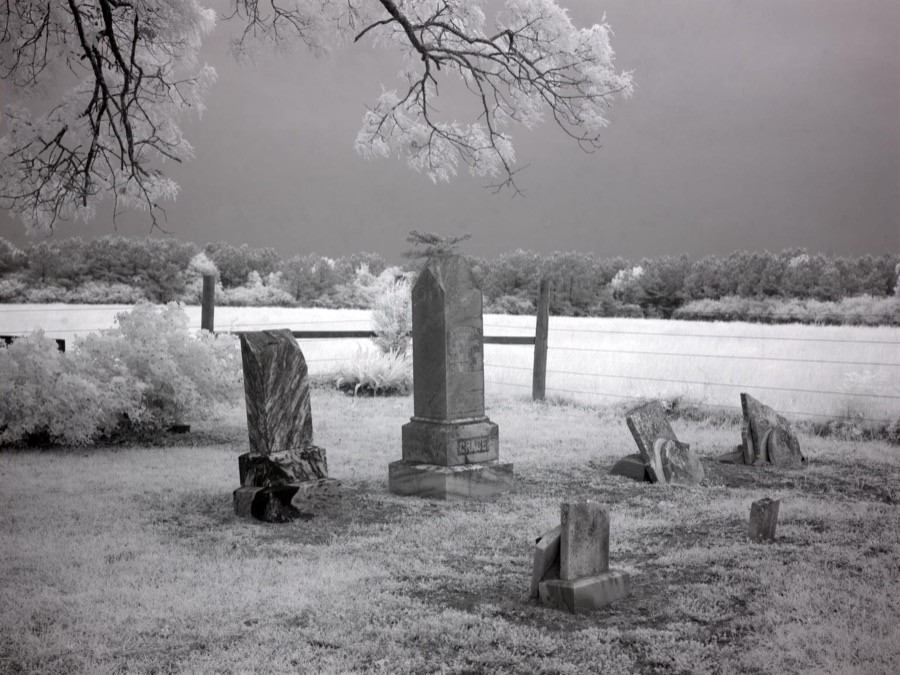
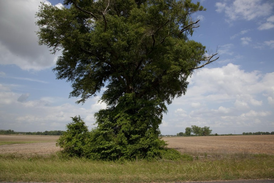
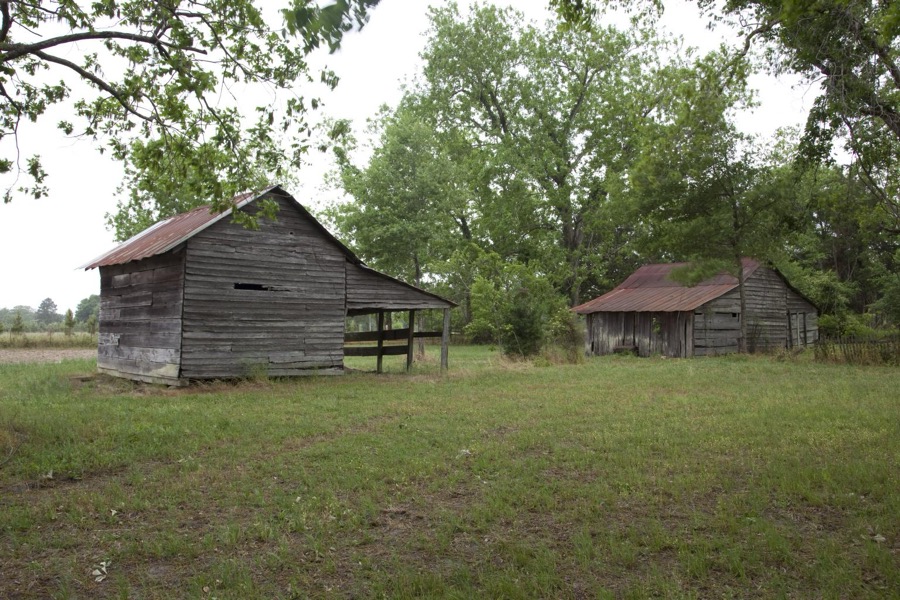
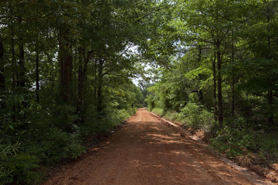

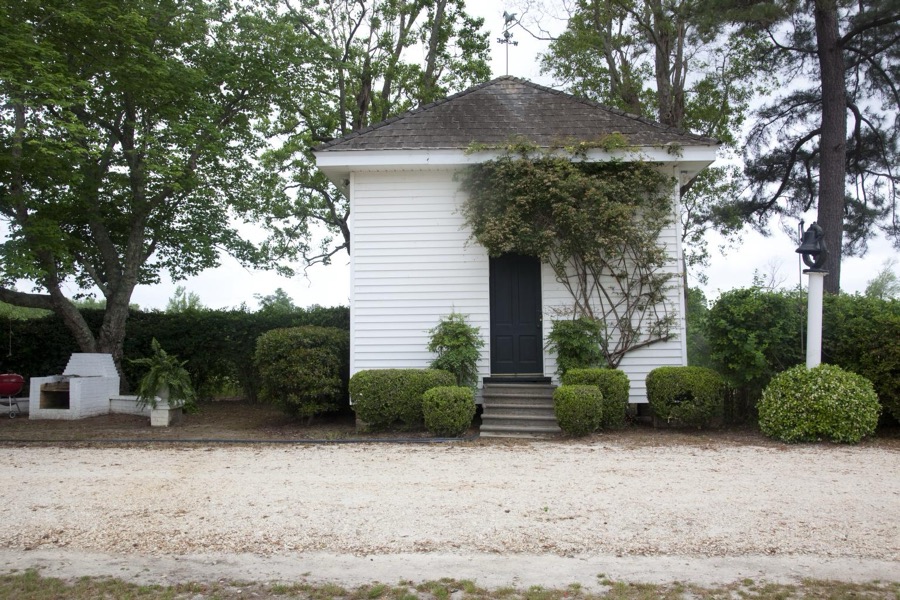
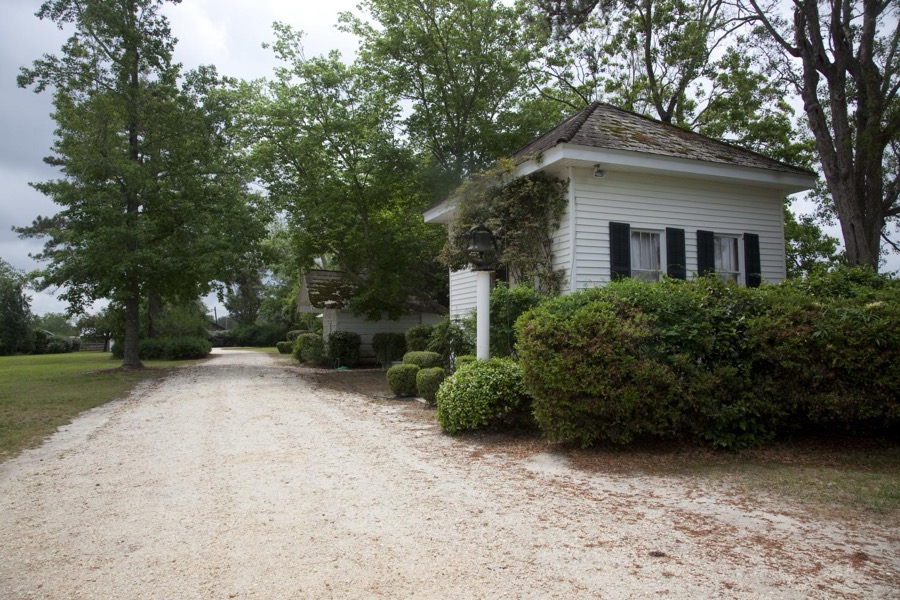
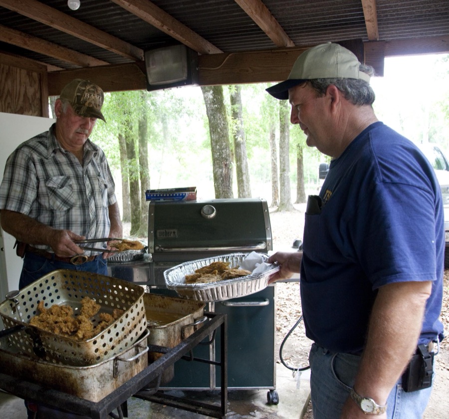

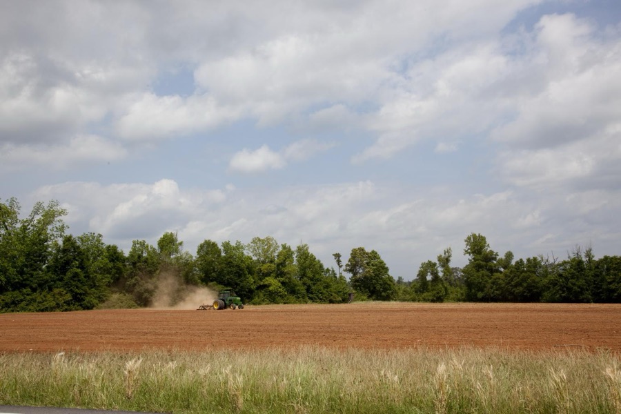

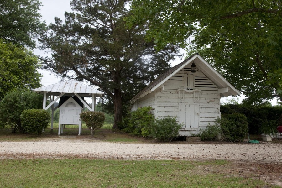
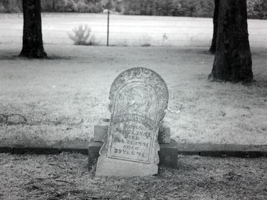
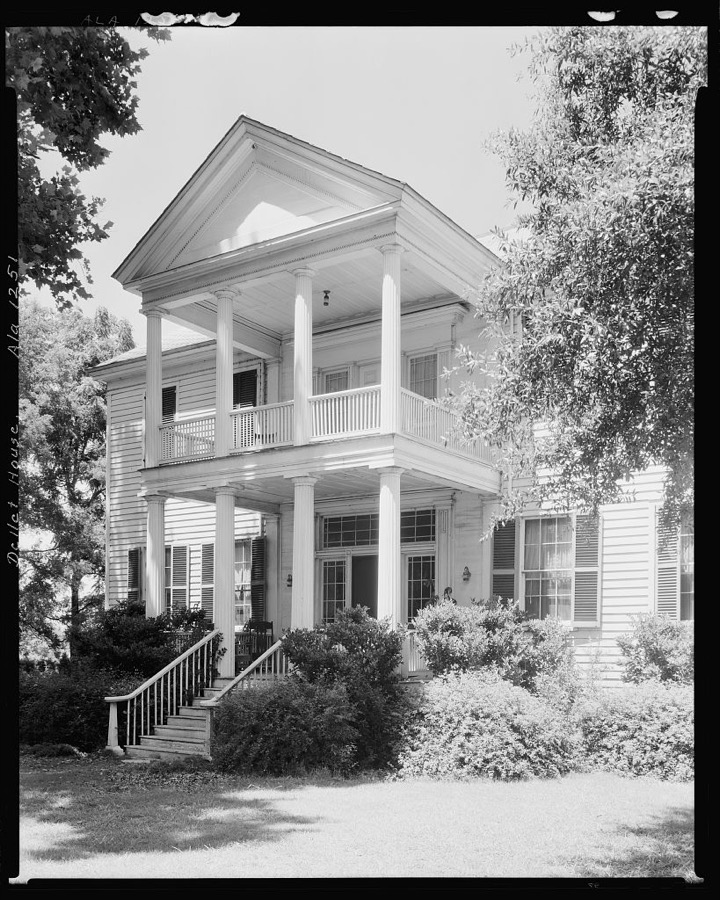
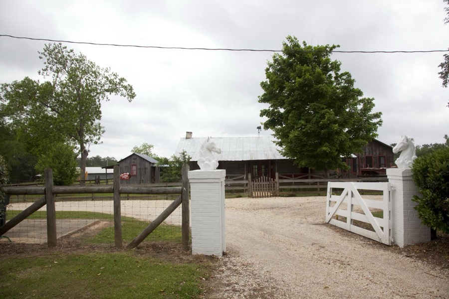


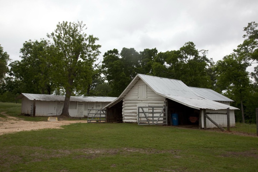
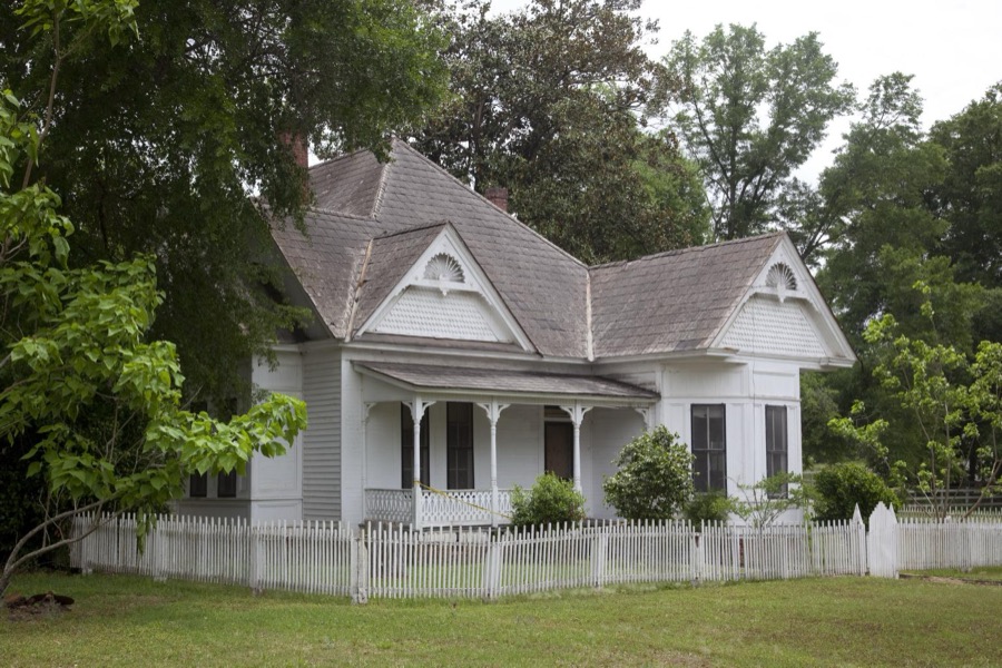

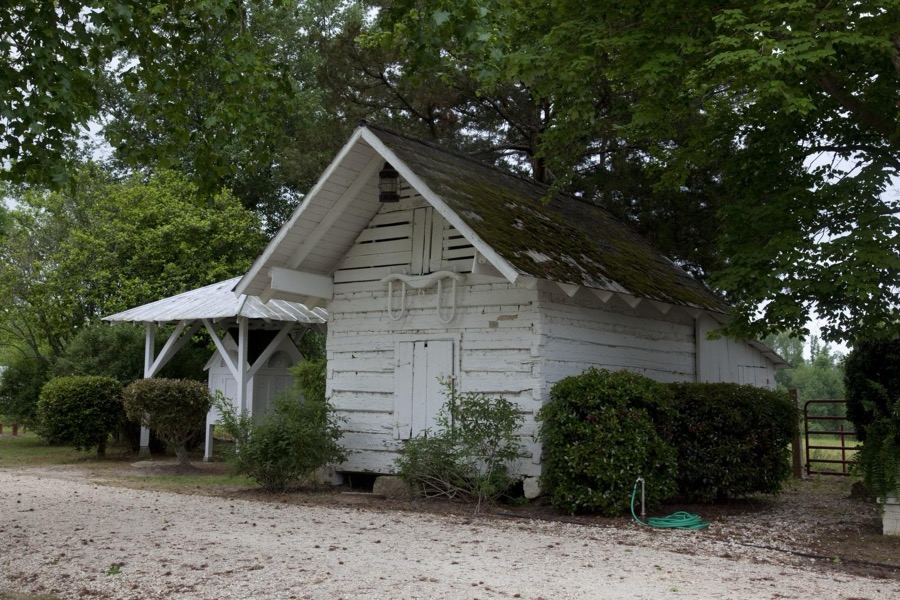
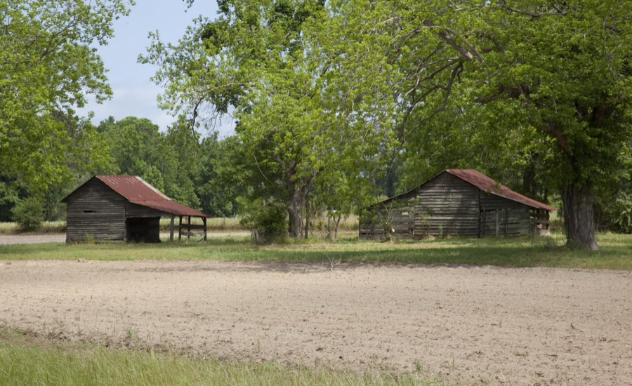
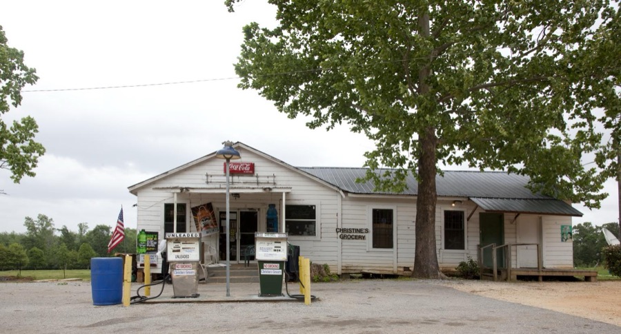
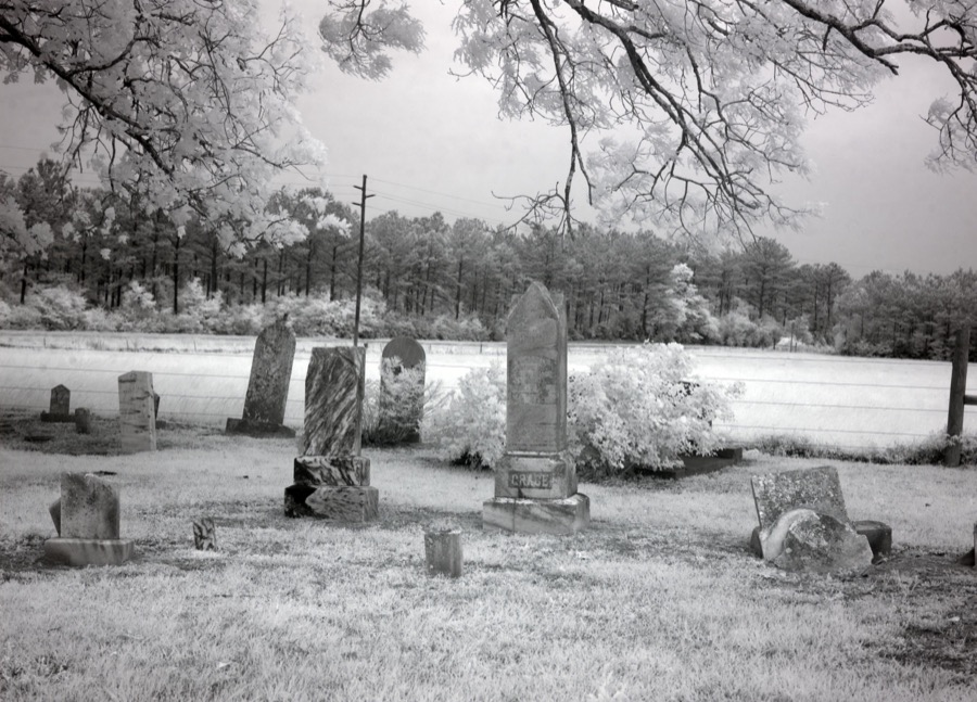


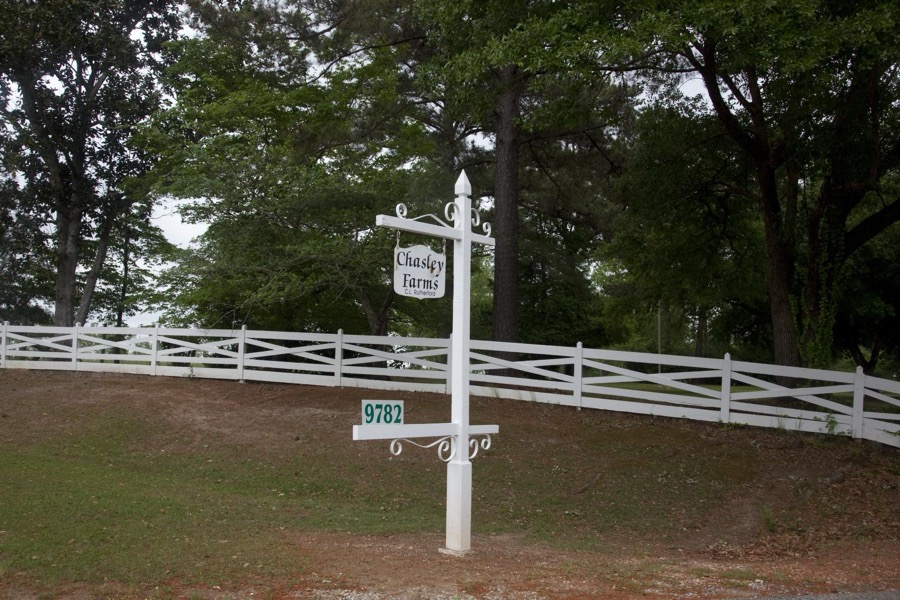
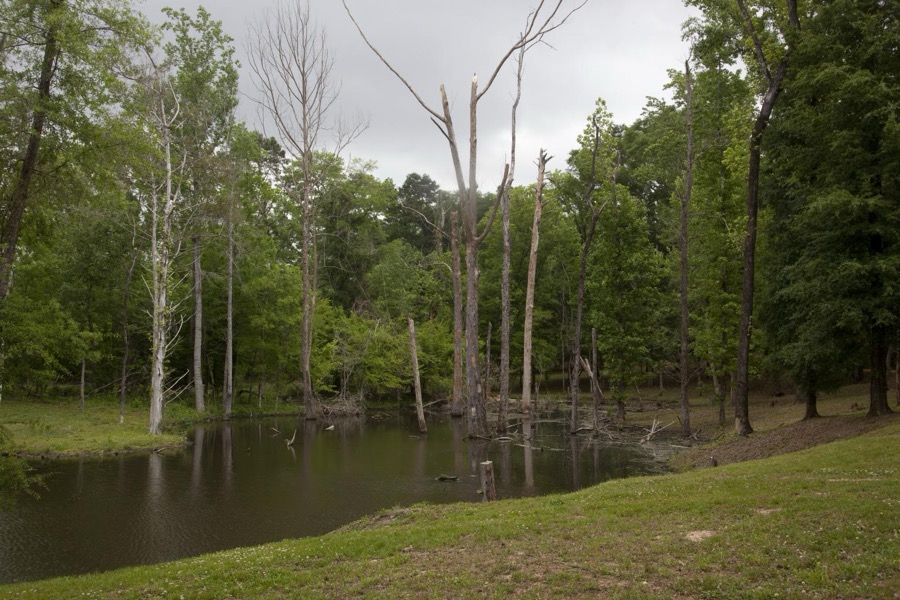
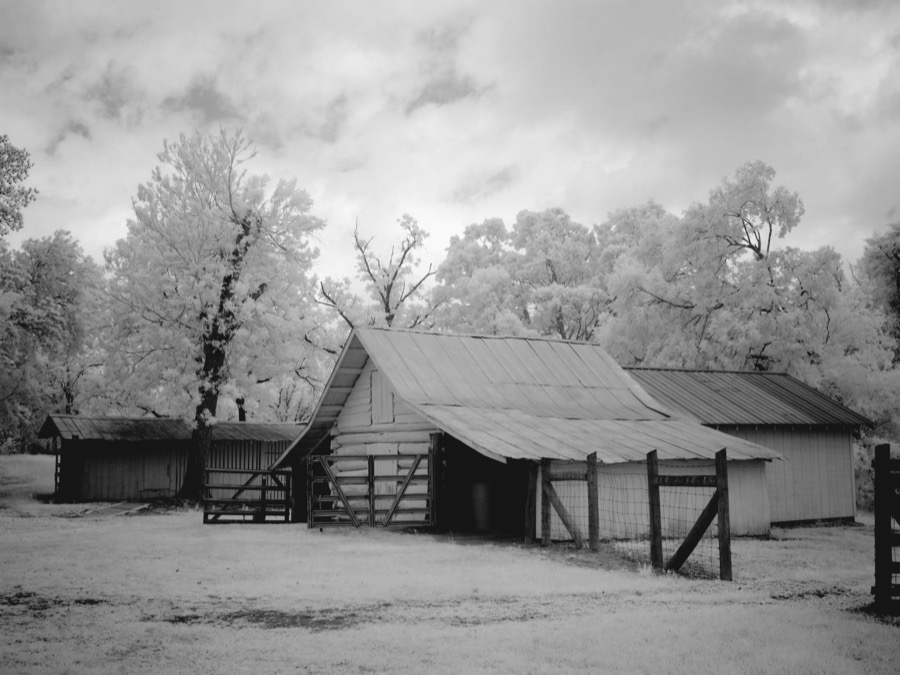

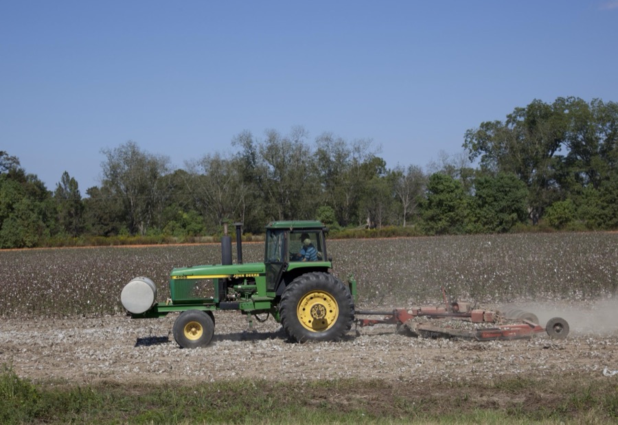
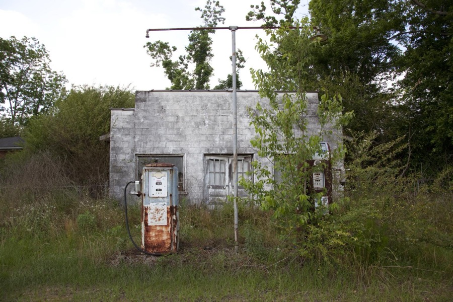
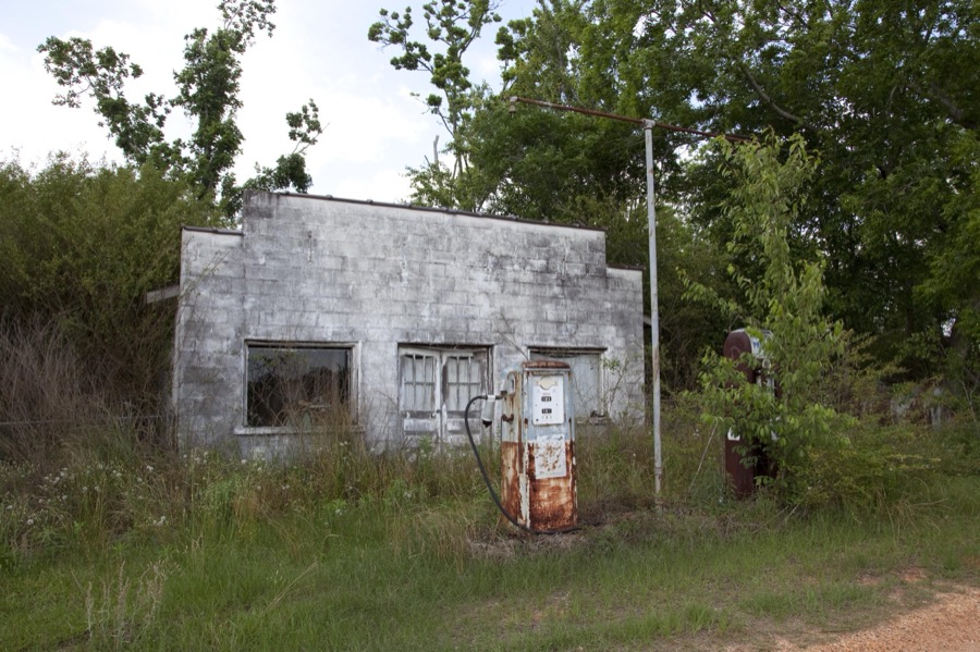

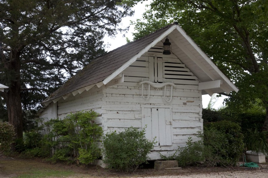
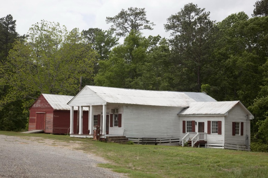

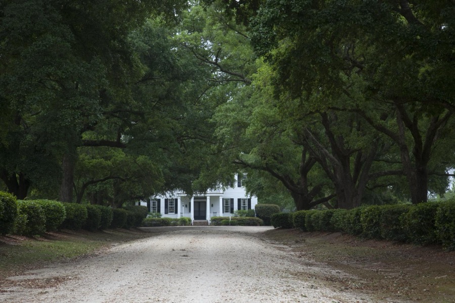
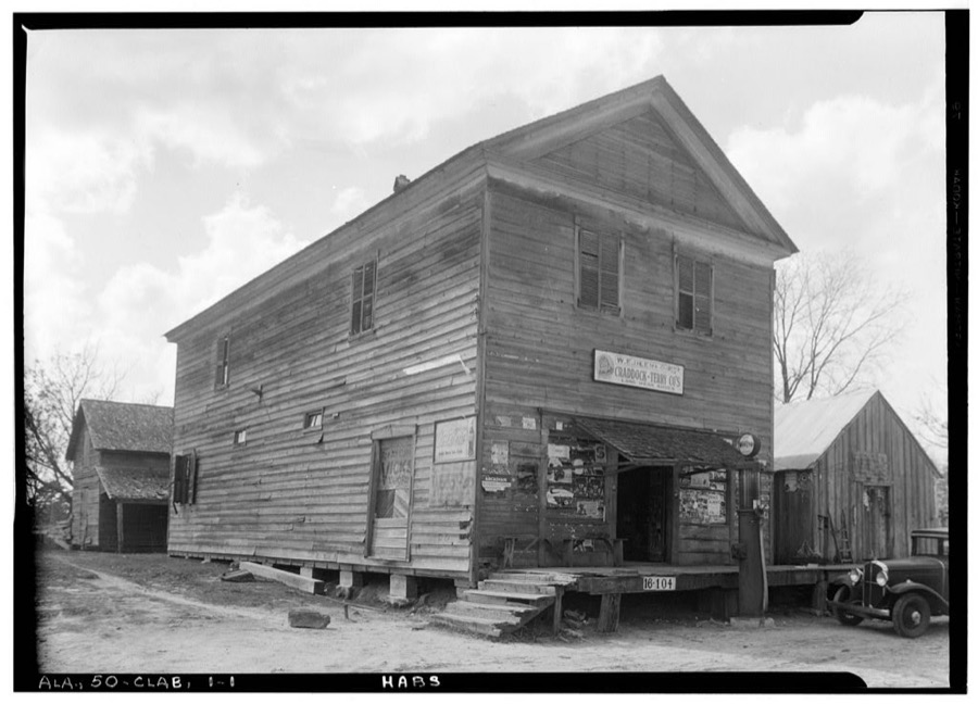
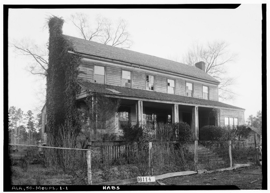
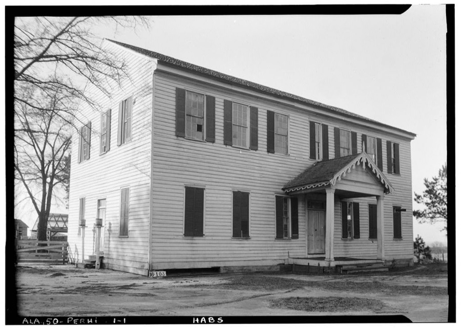
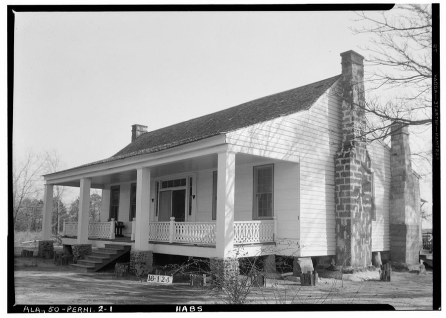
Every property in this county listed on the National Register of Historic Places, with the year it was listed and the federal nomination document.
| Photograph | Property | Type | Listed | Reference |
|---|---|---|---|---|
 | Dellet Plantation | district | 1994 | 93001517 |
| Lee Family Home | building | 2025 | 100012399 | |
 | Monroeville Downtown Historic District | district | 2009 | 09000606 |
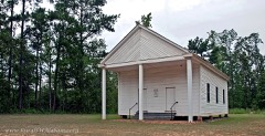 | New Hope Baptist Church | building | 2005 | 05000646 |
 | Old Monroe County Courthouse | building | 1973 | 73000366 |
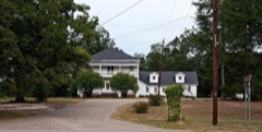 | Robbins Hotel | building | 1987 | 87000858 |
| Vanity Fair Park | district | 2020 | 100005354 |
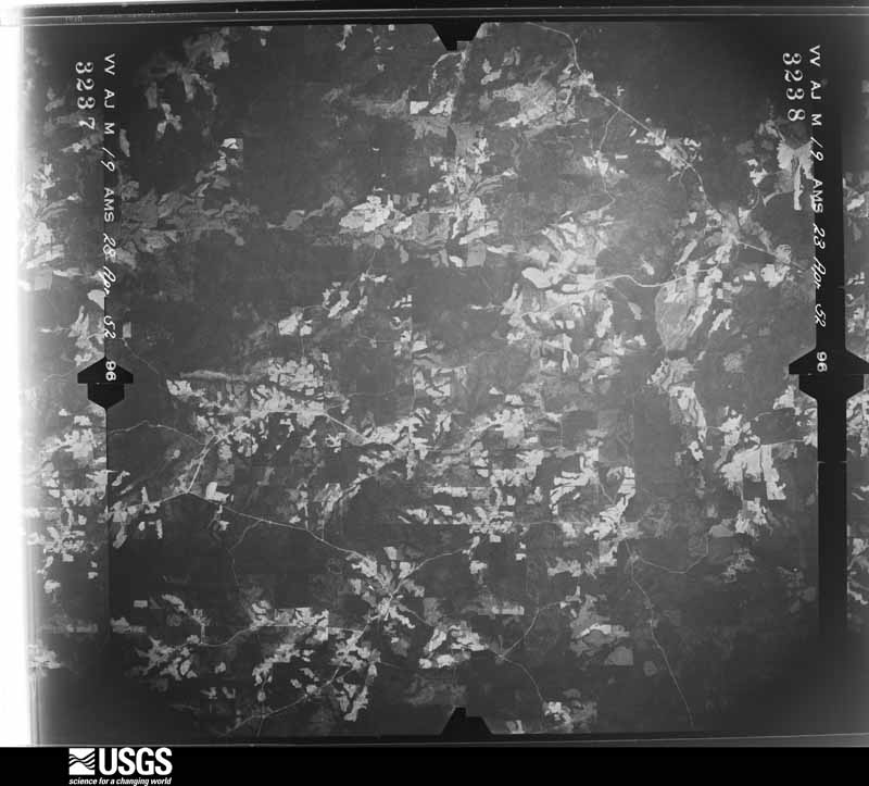
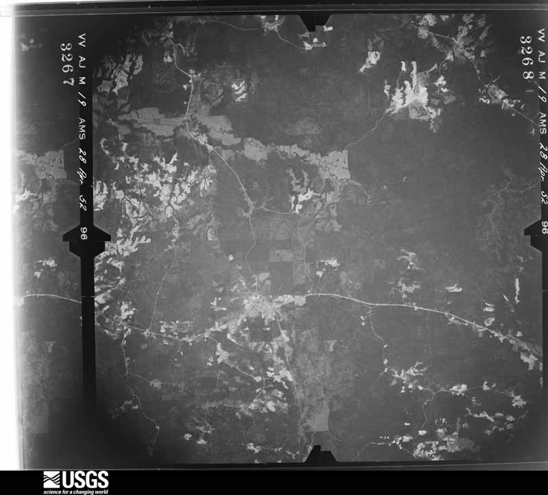
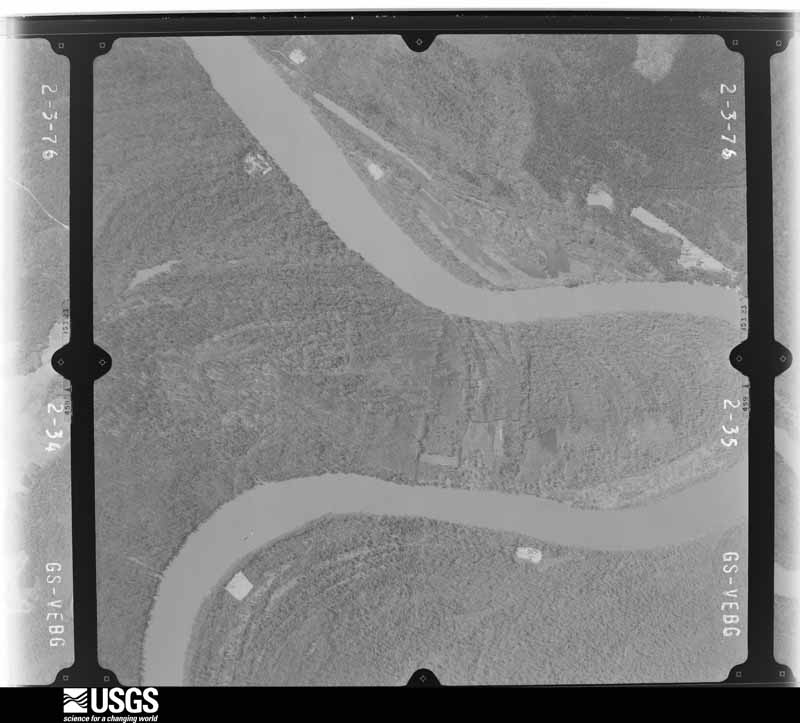
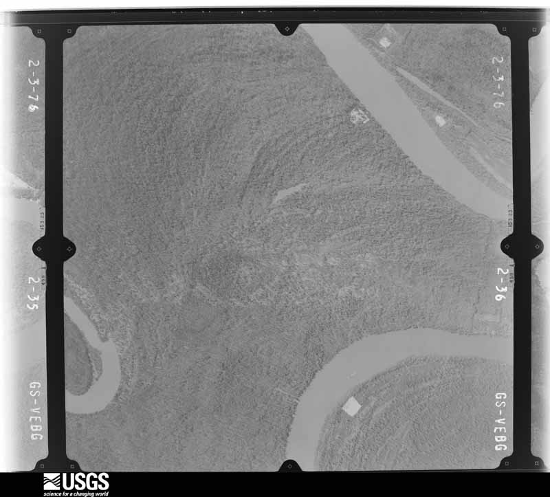
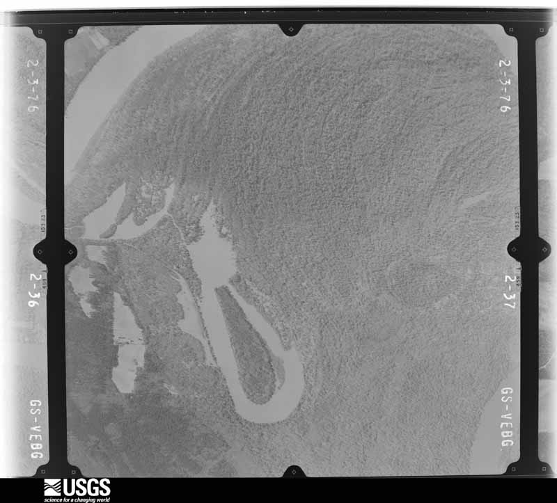
Flown by the U.S. Geological Survey between 1937 and 1989, the Aerial Photo Single Frames collection is the definitive mid-century view of the land: fields, roads and rivers as the camera saw them. The Survey holds 1,489 frames inside the rectangle that bounds this county; the 27 frames below were taken over the county itself, chosen across the decades of flights (at most four a year from that rectangle), so one flight cannot crowd out the rest. The full set is free to browse and download at EarthExplorer under the dataset Aerial Photo Single Frames.

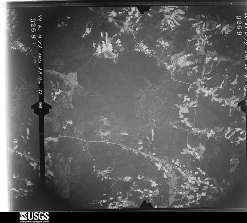
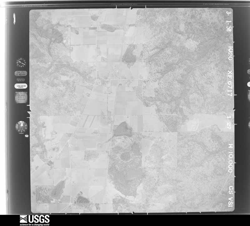
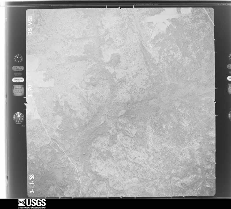
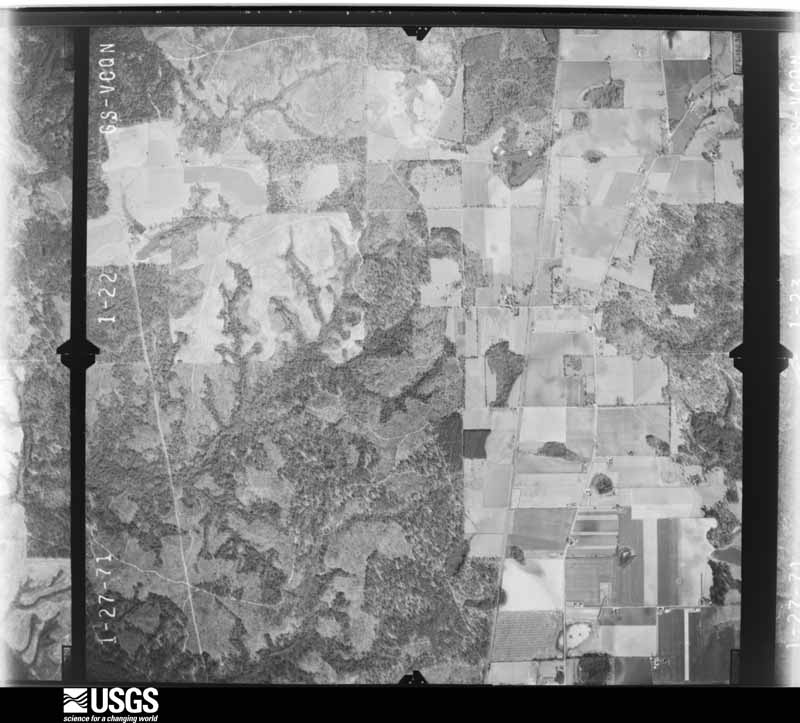
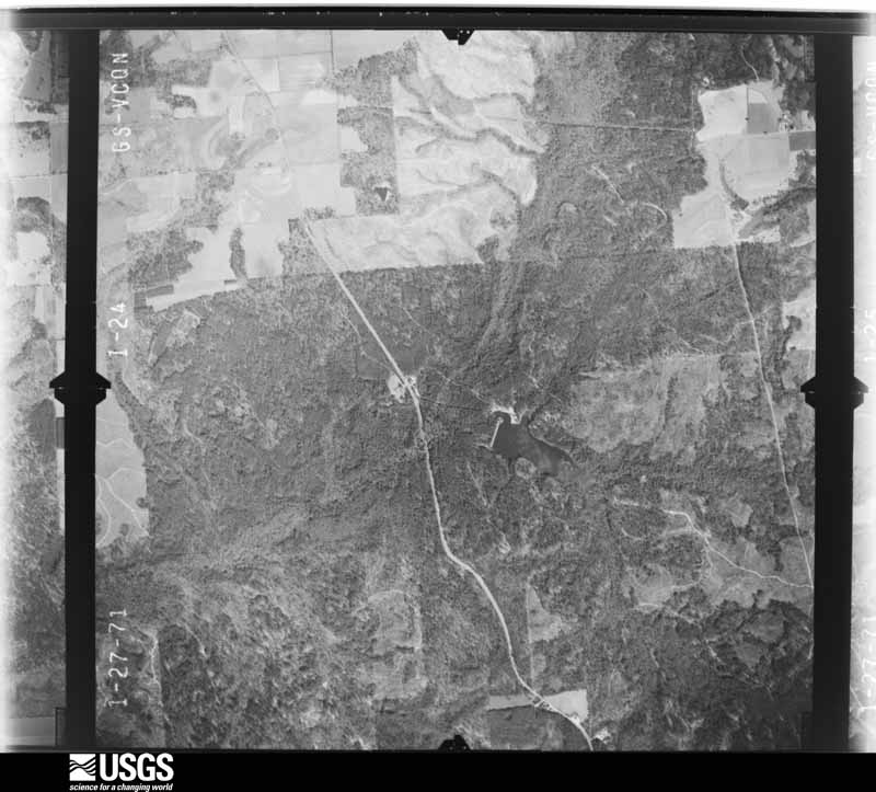
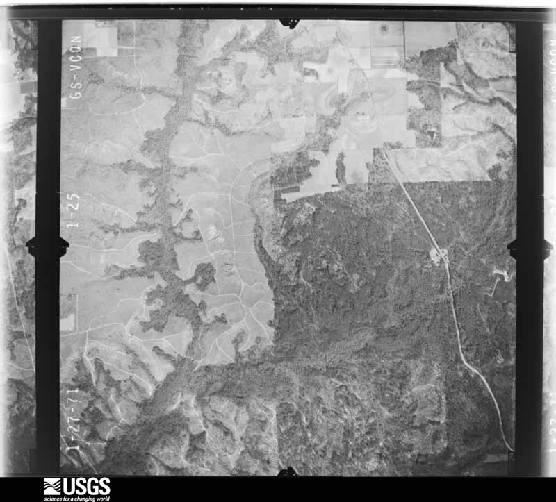
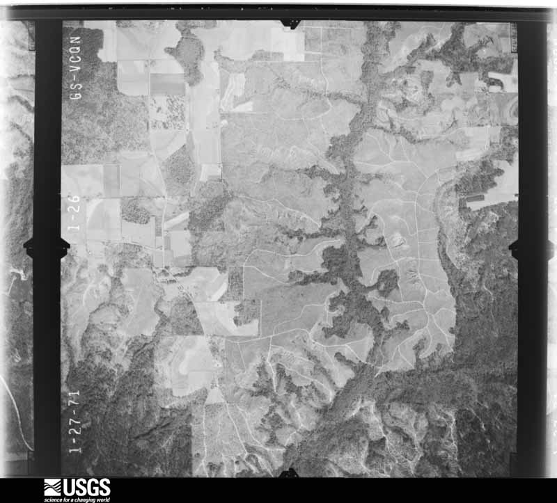
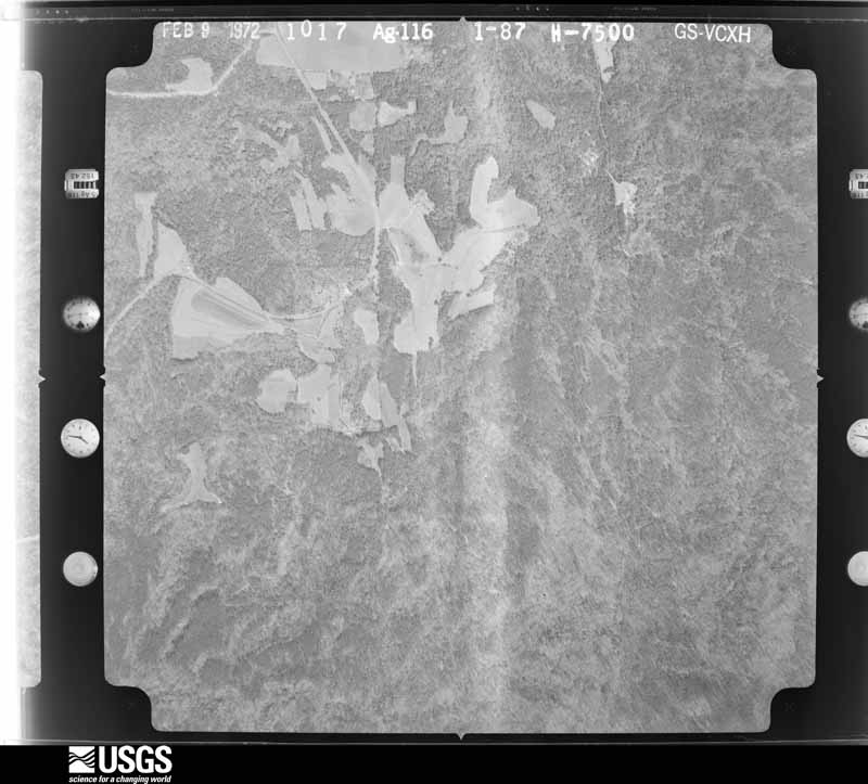
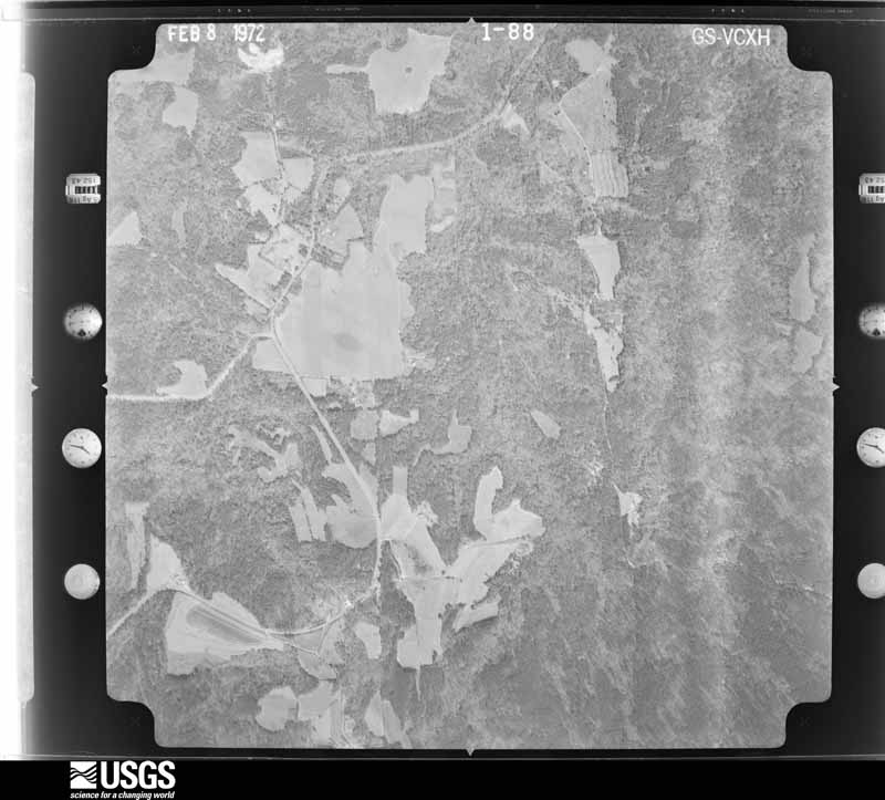
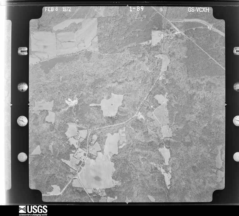
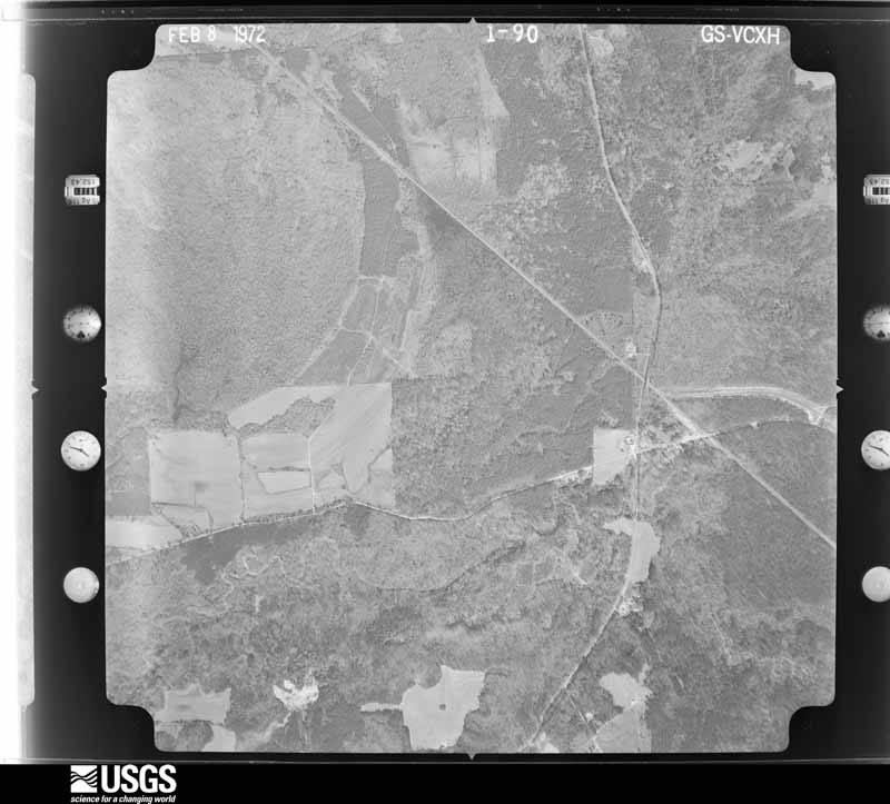




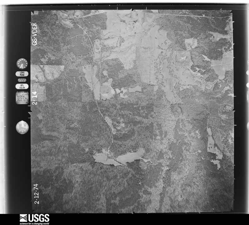
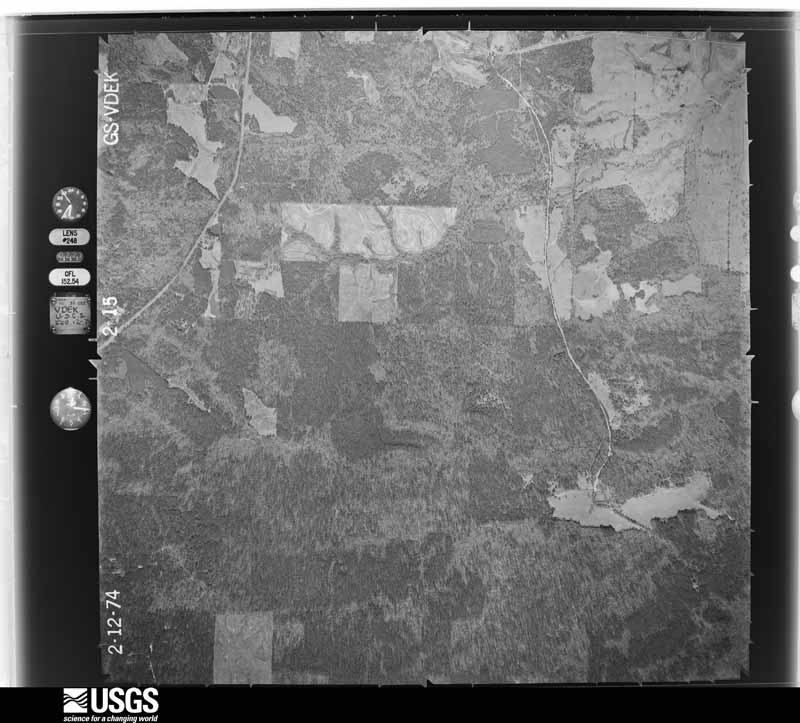
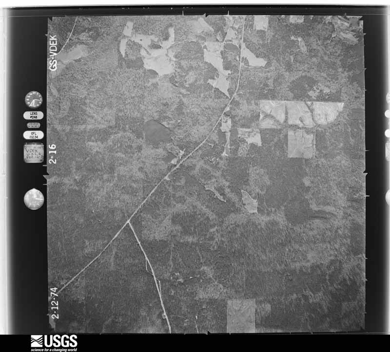
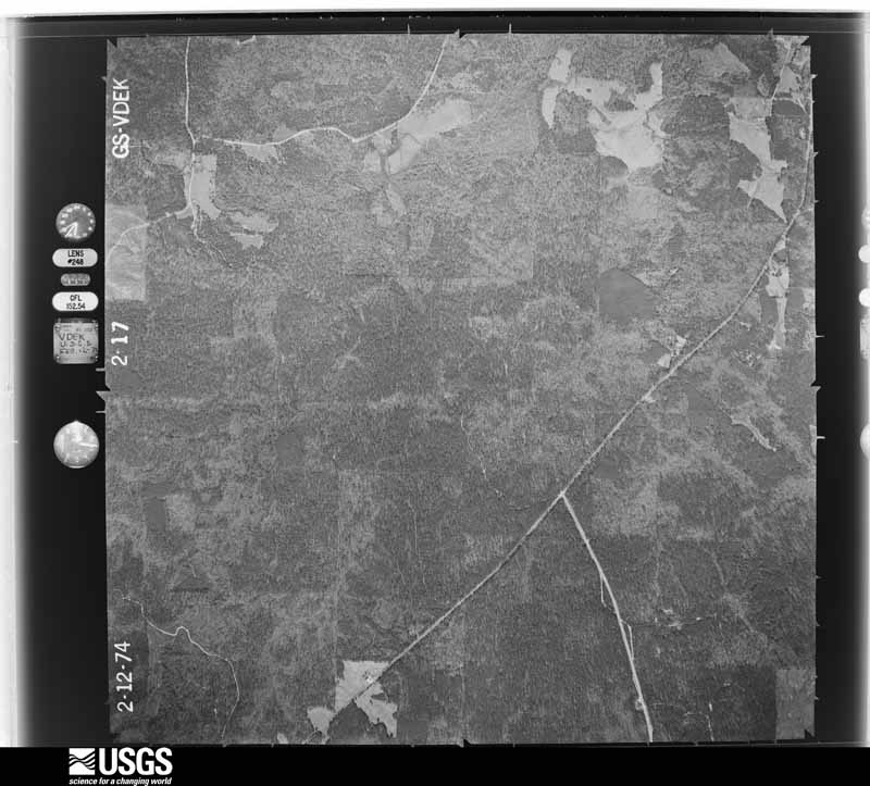

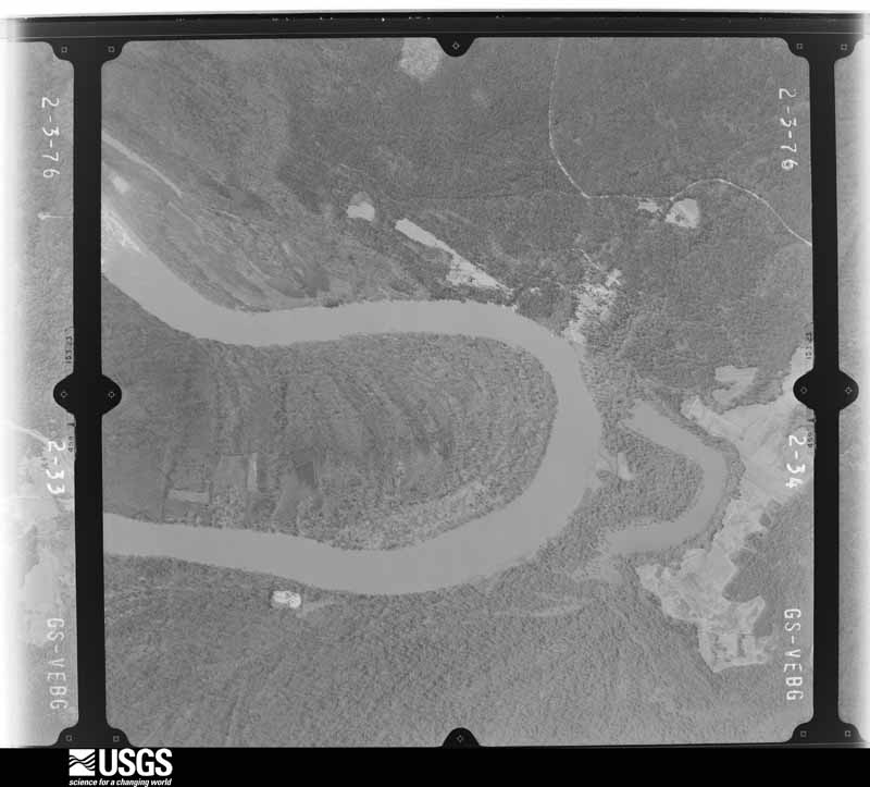
The thermometers that kept this county's weather, and the gages that measured the flow of its streams, as the federal records hold them. The extremes below are measured values from those records, not estimates.
Who lived here in 1950, one enumeration district at a time, as the Census Bureau described each district. Each row opens its official National Archives result, with Population Schedules and ED Maps available there.
Every wildfire the federal occurrence database records inside this county: 1,155 of them, burning about 9,908 acres. 25 started naturally and 142 were recorded as arson. Each settlement page carries the fires within five miles of it.
| Reported cause | Fires |
|---|---|
| Debris and open burning | 432 |
| Missing data/not specified/undetermined | 230 |
| Arson/incendiarism | 142 |
| Recreation and ceremony | 91 |
| Equipment and vehicle use | 90 |
| Railroad operations and maintenance | 71 |
| Misuse of fire by a minor | 35 |
| Smoking | 28 |
| Natural | 25 |
| Power generation/transmission/distribution | 9 |
| Fireworks | 1 |
| Other causes | 1 |
The five largest, by the area the report gives. One of them was set deliberately.
| Date | Cause | Size | Reported by | Name on the report |
|---|---|---|---|---|
| 29 August 2000 | Natural | 560 acres | Alabama Forestry Commission | not named |
| 9 March 2004 | Missing data/not specified/undetermined | 269 acres | Alabama Forestry Commission | MONROE |
| 1 June 2011 | Missing data/not specified/undetermined | 236 acres | Alabama Forestry Commission | 3088 TOWER RD, AL |
| 1 October 1997 | Debris and open burning | 220 acres | Alabama Forestry Commission | not named |
| 6 March 2006 | Arson/incendiarism | 215 acres | Alabama Forestry Commission | MONROE |
| 20 July 2000 | Natural | 150 acres | Alabama Forestry Commission | not named |
| 15 July 2000 | Debris and open burning | 150 acres | Alabama Forestry Commission | not named |
| 11 February 2008 | Debris and open burning | 150 acres | Alabama Forestry Commission | CLAIBORNE BEND |
Every settlement page carries the fires within five miles of it - see the settlement index below.
The NOAA Storm Events Database holds 296 reports for this county, causing 1 death, 43 injuries and about $7,996,000 in recorded property damage. Each settlement page carries the reports that name it.
| Kind of event | Reports |
|---|---|
| Thunderstorm Wind | 150 |
| Hail | 82 |
| Tornado | 28 |
| Flash Flood | 24 |
| Lightning | 4 |
| Funnel Cloud | 4 |
| Flood | 3 |
| Wildfire | 1 |
The most serious of them, by death, then injury, then recorded damage. The accounts are quoted exactly as the forecast office filed them.
| When | Event | Place named | Harm | What the report says |
|---|---|---|---|---|
| August 2007 | Lightning | Franklin | 1 killed | A male was struck and killed by lightning while working on a logging crew. The sixty-one year old was part of a crew who were working in the forest when the bolt hit. Emergency personnel were unable to revive him. |
| April 1978 | Tornado (F3) | not stated | 30 hurt, $2,500,000 | no account filed |
| March 1996 | Tornado (F2) | Claiborne | 5 hurt, $150,000 | no account filed |
| June 1957 | Tornado (F2) | not stated | 4 hurt, $250,000 | no account filed |
| May 1973 | Tornado (F1) | not stated | 2 hurt, $250,000 | no account filed |
| December 1971 | Tornado (F3) | not stated | 1 hurt, $250,000 | no account filed |
| June 2012 | Thunderstorm Wind | Monroeville | 1 hurt, $10,000 | Winds estimated at 60 mph downed a tree on a house and caused one injury. |
| April 2007 | Tornado (EF1) | Vredenburgh | $750,000 | A few minutes after the huge microburst occurred, a tornado touched down just southwest of County Road 56 south of Vredenburgh. Most of the structural damage occurred north of County Road 56. A very old home was pushed from its blocks and roof was lifted off. The tornado then moved northeast and damaged a church that was located near the home. Many trees were blown down in this area. Another church a few hundred yards to the northeast of the first church had part of the back of the building blown off. A convergence pattern was observed in the fallen trees from southwest of County Road 56 to northeast of the home. The tornado either dissipated or went back into the clouds near the second church. The tornado wind speed was estimated at 105 mph. No injuries were reported. People who lived only a short distance away said they never heard or observed the tornado. The tornado ended near where a huge microburst had occurred a few minutes earlier. |
| March 2001 | Lightning | Beatrice | $500,000 | Lightning struck a tree near Beatrice Elementary School just before school opened. The lightning ran through the roots of the tree and caught the gymnasium on fire. The gym was completely destroyed. The remainder of the school suffered only minor damage from the fire. |
| April 2011 | Tornado (EF2) | Turnbull | $400,000 | Tornado snapped or uprooted trees along a 400 yard wide path then produced significant damage to 3 homes and 1 church in the Riley's Crossroads area. One home had 2 exterior walls collapsed, another had a large section of the roof removed. The tornado significantly damaged the roof of the Savannah Missionary Baptist Church removing large sections of the sheathing and removing the steeple. |
| April 2011 | Tornado (EF2) | Turnbull | $300,000 | The tornado touched down near Riley's Crossroads and continued northeast crossing Owens Road just east of Old Texas. On Owens Road the tornado destroyed the Bethlehem Methodist Church. The tornado continued east across Emanual Church road snapping trees in a 300 yard wide path and doing significant roof damage to at least 1 home. The tornado continued northeast into Butler County Alabama. |
| December 2015 | Flood | Deer | $275,000 | Numerous roads were closed due to flooding. Many dirt roads were damaged during the flood event. Water entered into a few structures in Monroeville, which are located in low lying and flood prone locations. |
| December 1967 | Tornado (F2) | not stated | $250,000 | no account filed |
| April 2011 | Tornado (EF2) | Tunnell Spgs | $200,000 | Tornado touched down just east of County Road 47 south of Robinson Creek Road snapping several hardwood trees, then continued north northeast to near the Amity Missionary Baptist Church on Robinson Creek Road. The tornado completely removed the roof from the church and significantly damaged several exterior walls. |
| December 2008 | Thunderstorm Wind | Monroeville | $200,000 | A Travel Inn on 136 near Highway 184 had the roof blown off by winds estimated at 60-70 mph. A few hundred yards down from the motel a couple of dead tees were blown down. A trailer had its skirting blown out and a limb was blown into to the top of the trailer. |
| September 2005 | Tornado (F0) | Monroe Co Arpt | $200,000 | A weak tornado developed near Monroe County Airport. The tornado blew down trees and power lines and caused some damage to hangers at the airport. Wind equipment at the airport was blown down by the tornado. The tornado moved almost parallel to Highway 21. The tornado developed in part of a system that had broken off from Hurricane Rita and moved south across southwest Alabama. This was the second weak tornado to develop near the airport in two days. At about the same time the day before, a weak tornado briefly touched down and caused damage just east of the airport. |
| March 2001 | Thunderstorm Wind | Uriah | $100,000 | Widespread tree and structural damage occurred as a line of thunderstorms with an intense bow echo, or downburst, moved across the area. |
| September 2005 | Tornado (F0) | Excel | $80,000 | A weak tornado touched down just south of Highway 136 near Excel. The tornado tracked north and dissipated near Highway 84. Several trees, power lines and out buildings were damaged by the tornado. Some roofs were also damaged by the tornado. |
| February 2022 | Flash Flood | Monroeville | $50,000 | The downtown Monroeville fire department is flooded with a significant amount of water in the building. |
| February 2022 | Flash Flood | Monroeville | $50,000 | Multiple reports of Flash Flooding in the Monroeville area. Also reports of homes flooding in the area. |
| August 2002 | Thunderstorm Wind | Monroeville | $50,000 | High winds from a thunderstorm blew down several trees near Monroeville. The winds also damaged a roof at the Junior High School and a barn in Monroeville. |
| June 1998 | Thunderstorm Wind | Countywide | $50,000 | A line of severe thunderstorms moved through the county between 1130 pm and 1220 am. Trees and power lines were blown down throughout the county. No major injuries were reported. |
| May 1998 | Hail | Mineola | $50,000 | Baseball to golfball size hail fell from Miniola to Uriah. This is the second month in a row that this area has received large hail. The area did not suffer as much damage from this storm as they did from the April storm. |
| May 1994 | Thunderstorm Wind | not stated | $50,000 | Trees and power lines were downed along Highway 5. The highway runs right on the boundary of Conecuh and Monroe Counties from seven miles southwest of Monroeville to about 22 miles northeast of Monroeville. |
| January 2017 | Thunderstorm Wind | Nadawah | $45,000 | A roof was blown off of a trailer and a house. 2 barns and a shed were destroyed. Numerous trees were blown down. |
| May 2008 | Thunderstorm Wind | Uriah | $40,000 | no account filed |
| April 1998 | Hail | Frisco City | $40,000 | no account filed |
| April 2011 | Thunderstorm Wind | Monroeville | $35,000 | A large tree was blown down by severe thunderstorm winds near 60 mph. The falling tree caused damage to a house as well as extensive damage to a pickup truck. |
| April 1997 | Lightning | Frisco City | $30,000 | Lightning struck a home in Frisco City. The strike started a fire and the house suffered major damage. |
| January 2017 | Flash Flood | West Monroeville | $25,000 | Flash flooding resulted in the closure of several roads in the city of Monroeville. Five homes also experienced flooding. |
| February 2013 | Flood | Monroeville | $25,000 | Heavy rains caused flooding in many areas with water around 2 houses. |
| February 2006 | Tornado (F0) | Tunnell Spgs | $25,000 | A weak tornado briefly touched down near Tunnel Springs. The tornado damaged a roof on a home and blew down several trees and power lines. |
| January 2002 | Thunderstorm Wind | Monroeville | $25,000 | Trees and power lines were blown down as a line of thunderstorms moved through the county. The damage extended from north of Monroeville to Peterman to Midway. |
| January 1997 | Thunderstorm Wind | Ollie | $25,000 | no account filed |
| January 1982 | Tornado (F1) | not stated | $25,000 | no account filed |
| April 1971 | Tornado (F4) | not stated | $25,000 | no account filed |
| March 1960 | Tornado (F2) | not stated | $25,000 | no account filed |
| June 2011 | Thunderstorm Wind | Uriah | $20,000 | Winds estimated at 70 mph damaged about a dozen homes. |
| June 2004 | Thunderstorm Wind | Frisco City | $20,000 | High winds from a thunderstorm blew down several trees near Frisco City. One of the trees fell across a manufactured home and did some minor damage. A propane dealership also had some tin fencing material blown down |
| August 2003 | Thunderstorm Wind | Excel | $20,000 | High winds from a thunderstorm blew down several trees near Excel. Three outbuildings also suffered minor damage from the high winds. No one was injured. |
| October 2001 | Thunderstorm Wind | Goodway | $20,000 | High winds from a thunderstorm blew several trees down and turned over a travel trailer near Goodway. |
| February 2008 | Thunderstorm Wind | Frisco City | $20,000 | no account filed |
| January 2008 | Thunderstorm Wind | Hybart | $20,000 | no account filed |
| June 2009 | Thunderstorm Wind | Burnt Corn | $15,000 | Winds estimated at 60 mph downed numerous trees across the eastern side of the county. Most of the tree damage was located near Burnt Corn. |
| May 2009 | Thunderstorm Wind | Frisco City | $15,000 | Winds estimated at 60 mph downed numerous trees across the county. |
| May 2006 | Thunderstorm Wind | Megargel | $15,000 | High winds from a thunderstorm blew down several trees and power lines near Megargel. Nickel size hail was also reported with the storm. |
| October 2001 | Thunderstorm Wind | Frisco City | $15,000 | Trees were reported down near the community. One fell on the roof of a house, producing some damage. |
| October 2001 | Thunderstorm Wind | Claiborne | $15,000 | High winds, along the leading edge of a squall line, blew down several trees and power lines near Claiborne. |
| March 2001 | Flash Flood | Countywide | $15,000 | no account filed |
| February 1996 | Thunderstorm Wind | Frisco City | $15,000 | no account filed |
| August 1996 | Flash Flood | Hybart | $15,000 | no account filed |
| November 2006 | Thunderstorm Wind | Monroeville | $12,000 | High winds from a thunderstorm downed several trees near Monroeville. |
| January 2015 | Tornado (EF0) | Turnbull | $10,000 | During the late afternoon hours, a strong mesocyclone moved from southwest to northeast across Monroe County. The thunderstorm produced a brief EF-1 tornado about 4 miles east of Tunnel Springs located in northeastern Monroe County. The tornado lasted no longer than one minute as the path length was just shy of 200 yards. The tornado produced roof damage, uprooted hardwood trees and snapped pine trees at the trunk. |
| April 2014 | Thunderstorm Wind | Keith | $10,000 | Thunderstorm winds resulted in damage to campers and sheds at Maibens Lake. Numerous trees were blown down as well. |
| June 2010 | Thunderstorm Wind | Beatrice | $10,000 | Thunderstorm wind gusts estimated at 60 mph caused roof damage and blew a steeple off of a church. |
| August 2010 | Thunderstorm Wind | River Ridge | $10,000 | Winds estimated at 60 mph downed multiple power lines. |
| May 2009 | Thunderstorm Wind | Monroeville | $10,000 | Winds estimated at 60 mph downed trees and power lines in Monroeville. |
| January 2007 | Thunderstorm Wind | Monroeville | $10,000 | Winds from a thunderstorm blew down several trees just north of Monroeville. |
| November 2006 | Thunderstorm Wind | Monroeville | $10,000 | High winds from a thunderstorm downed several trees in Monroeville. |
| April 2005 | Thunderstorm Wind | Monroeville | $10,000 | High winds from a thunderstorm blew down several trees and power lines north of Monroeville. |
The Survey's mineral resources record lists 17 workings inside this county. 13 still produce and 4 are closed or unrecorded. Each settlement page carries the workings within five miles of it.
| Commodity | Workings |
|---|---|
| Sand and Gravel, Construction | 11 |
| Clay | 3 |
| Stone, Crushed/Broken | 2 |
| Zeolites, Fullers Earth | 1 |
The least common of them first, because a county's hundredth gravel pit says nothing its first ten did not.
| Where | Site | Commodity | Status | Recorded |
|---|---|---|---|---|
| Tallahatta Claystone, Monroe County | Zeolites, Fullers Earth | Prospect | BEDDED | |
| Ballard Pit | Stone, Crushed/Broken | Producer | ||
| Claiborne Lime Pit | Stone, Crushed/Broken | Producer | ||
| Mon 1 Clay Prospect | Clay | Prospect | ||
| Mon 2 Clay Prospect. | Clay | Prospect | ||
| Mon 5 Clay Prospect | Clay | Prospect | ||
| Crawford Pit | Sand and Gravel, Construction | Producer | ||
| Escel Pit | Sand and Gravel, Construction | Producer | ||
| Goodway Pit | Sand and Gravel, Construction | Producer | Quartz | |
| Goodway Pit | Sand and Gravel, Construction | Producer | ||
| Harden Mine | Sand and Gravel, Construction | Producer | ||
| Hyatt Pit | Sand and Gravel, Construction | Producer | ||
| Millsap Pit | Sand and Gravel, Construction | Producer | Unconsolidated Sediments | |
| Monroe Concrete Pit | Sand and Gravel, Construction | Producer | ||
| Sacop Pit | Sand and Gravel, Construction | Producer | ||
| Scott Pit | Sand and Gravel, Construction | Producer | ||
| Unnamed Quarry | Sand and Gravel, Construction | Producer | Quartz |
Named settlements recorded in the Geographic Names Information System, each with the topographic sheets covering it. Villages, hamlets and abandoned places alike. Each is shown with the nearest named watercourse or landform and the survey quadrangle it falls on. The 1 place that was also surveyed for fire insurance comes first, with the number of atlases and photographs held for them.
Monroeville census division · 36460 · Monroeville quadrangle
8 sheets, 1953 to 1986
Fire insurance: 2 atlases
Uriah census division · 36480 · On Joiner Branch · Chrysler quadrangle
8 sheets, 1953 to 1986
Monroeville census division · 36470 · By Alabama Heights · Claiborne quadrangle
7 sheets, 1953 to 1986
Peterman census division · 36460 · On Holly Mill Creek · Mexia quadrangle
8 sheets, 1953 to 1986
Uriah census division · 36480 · On Fletcher Branch · Gainestown quadrangle
7 sheets, 1953 to 1986
Uriah census division · 36480 · On Sand Creek · Uriah West quadrangle
8 sheets, 1953 to 1986
Uriah census division · 36480 · On Hurricane Branch · Uriah West quadrangle
8 sheets, 1953 to 1986
Vredenburgh census division · 36481 · On Curiosity Branch · Natchez quadrangle
7 sheets, 1953 to 1986
Monroeville census division · 36460 · On Brushy Creek · Monroeville quadrangle
8 sheets, 1953 to 1986
Uriah census division · 36480 · On Big Nancey Branch · Chrysler quadrangle
8 sheets, 1953 to 1986
Beatrice census division · 36425 · On Galley Creek · Nadawah quadrangle
7 sheets, 1953 to 1986
Vredenburgh census division · 36751 · On Holly Branch · Hybart quadrangle
7 sheets, 1953 to 1986
Peterman census division · 36471 · On Roiley Creek · Monroeville quadrangle
8 sheets, 1953 to 1986
Beatrice census division · 36425 · On Roberts Creek · Beatrice quadrangle
9 sheets, 1953 to 1986
Peterman census division · 36460 · Burnt Corn quadrangle
7 sheets, 1953 to 1986
No longer a settlement
Monroeville census division · 36460 · On Walkers Creek · Monroeville quadrangle
8 sheets, 1953 to 1986
Beatrice census division · 36425 · On Stringer Creek · Beatrice quadrangle
9 sheets, 1953 to 1986
Peterman census division · 36471 · On Mortons Branch · Natchez quadrangle
7 sheets, 1953 to 1986
Vredenburgh census division · 36481 · On Tallatchee Creek · Hybart quadrangle
7 sheets, 1953 to 1986
Beatrice census division · 36425 · On Roberts Creek · Nadawah quadrangle
7 sheets, 1953 to 1986
No longer a settlement
Beatrice census division · 36425 · On Turnbull Branch · Beatrice quadrangle
9 sheets, 1953 to 1986
Uriah census division · 36480 · On Hurricane Branch · Uriah West quadrangle
8 sheets, 1953 to 1986
Monroeville census division · 36460 · On Walkers Creek · Monroeville quadrangle
8 sheets, 1953 to 1986
Monroeville census division · 36460 · Monroeville quadrangle
8 sheets, 1953 to 1986
The vanished settlements of Monroe County: the places named above that are no longer on the map.
8 topographic sheets and 2 fire insurance atlases, 1930
The complete index, with nothing left out. Each of these is a separate record with its own page: a federal survey report, or the case file that argued a property on to the National Register. Both are public domain and reproduced word for word.
The vanished settlements of Monroe County, the places these records name that are no longer on the map.