Block
From the record
22 National Register listings published here.
Sources: the National Register database, National Park Service
45 topographic sheets and 16 fire insurance atlases across 2 places.
22 National Register listings published here.
Sources: the National Register database, National Park Service
Taken for the Office of War Information and the Farm Security Administration, who photographed the country between 1935 and 1944. Works of United States government photographers, with no known restriction on use. Each opens its catalogue record.


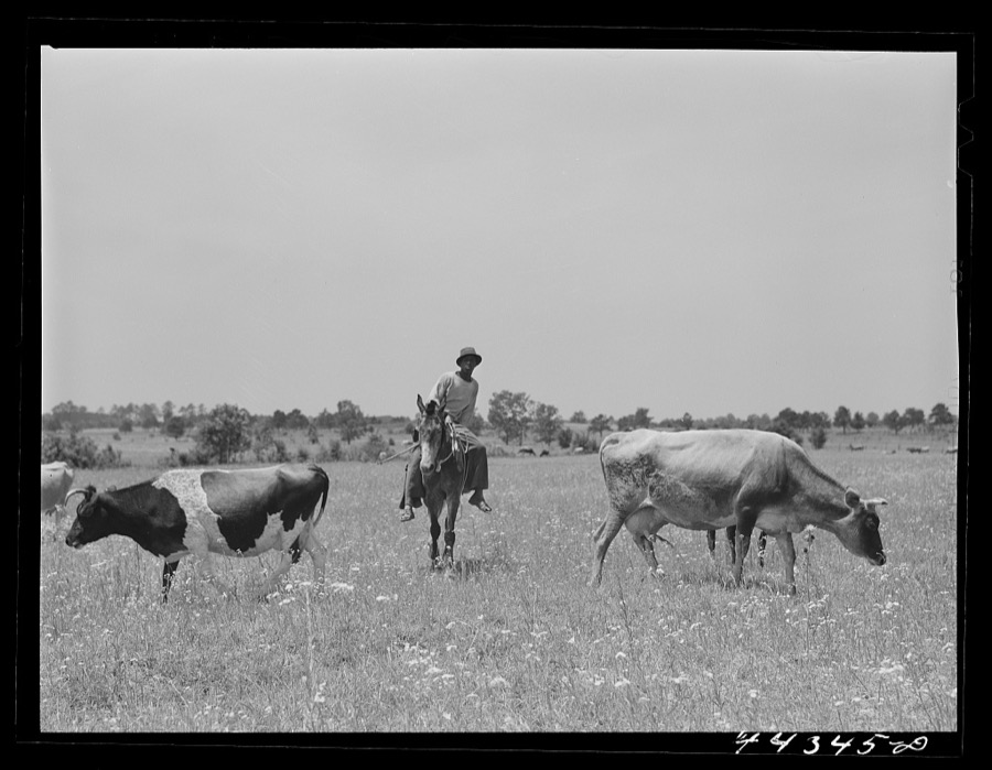
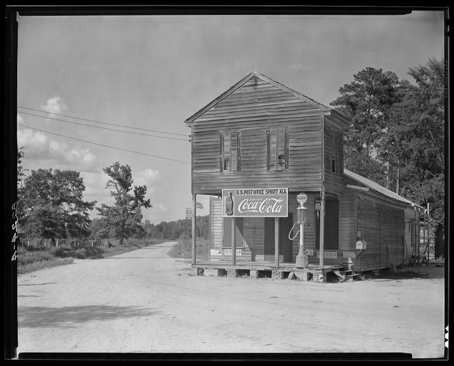

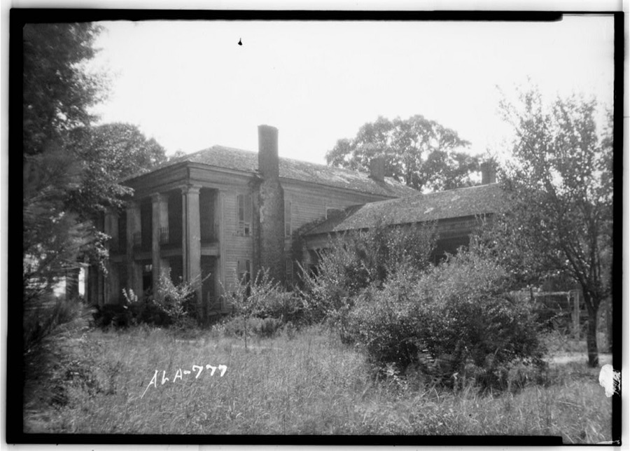
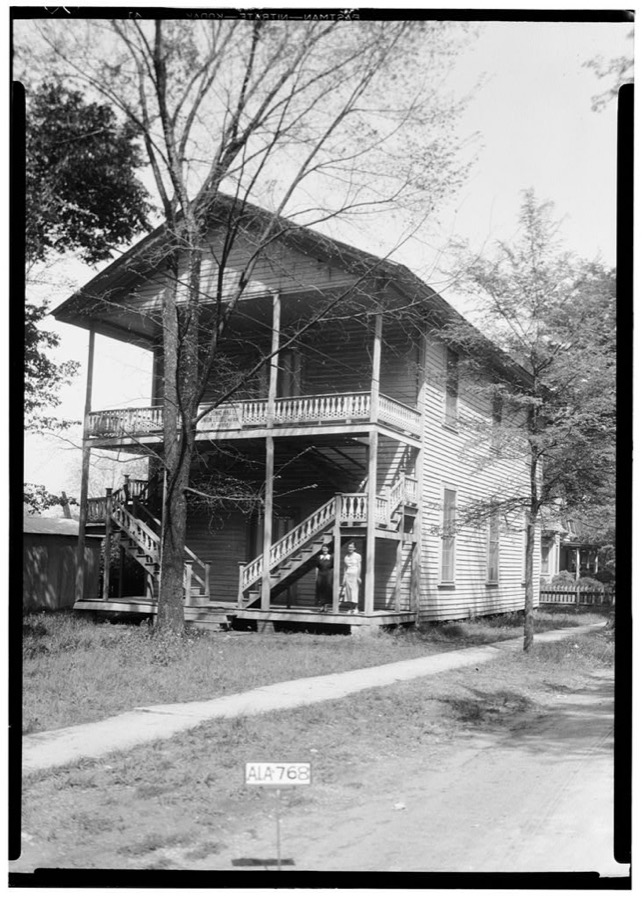

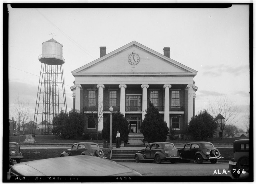

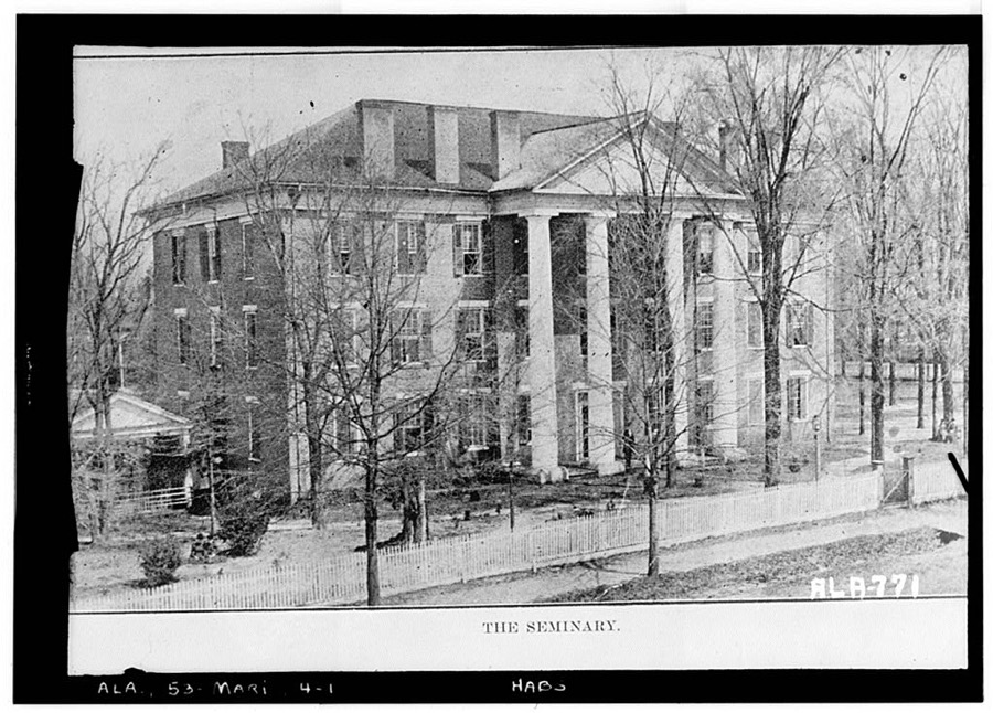
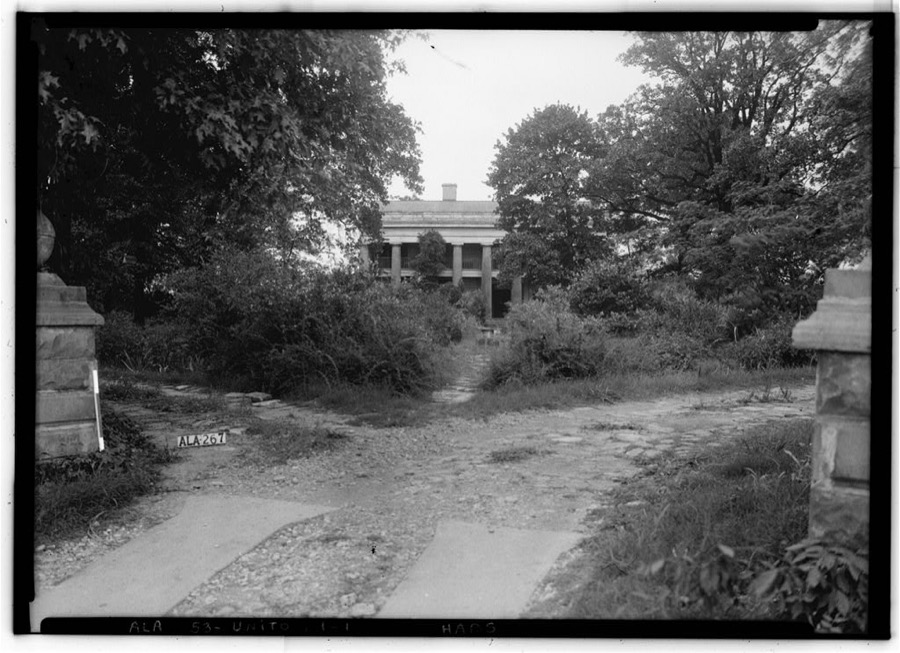
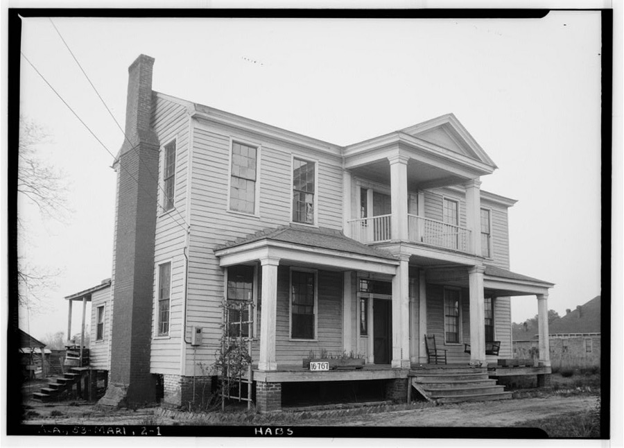
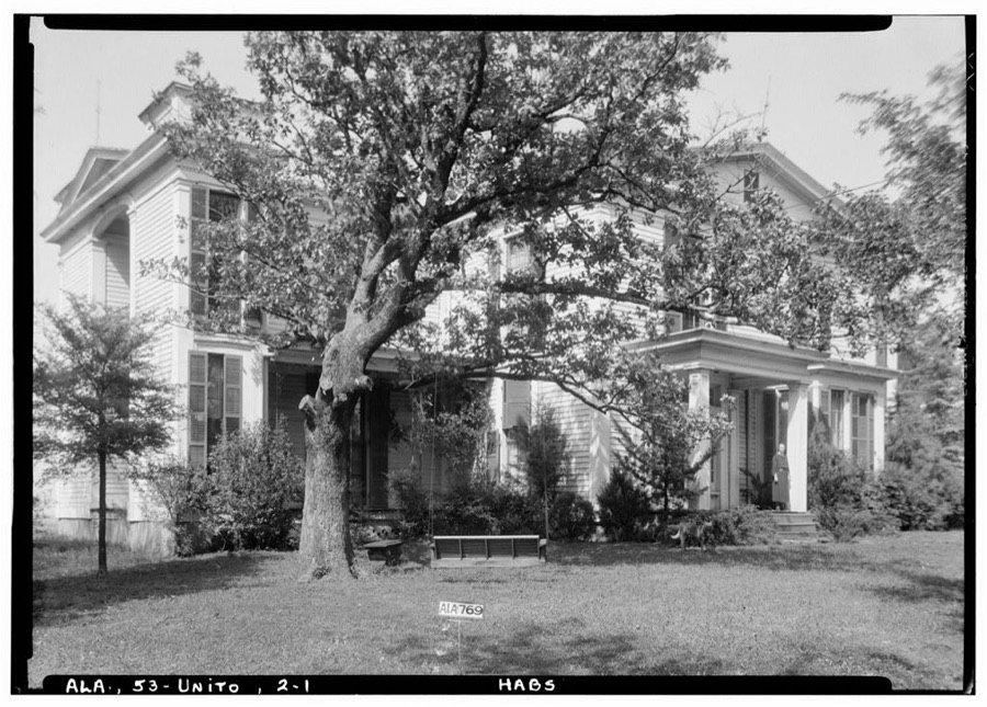
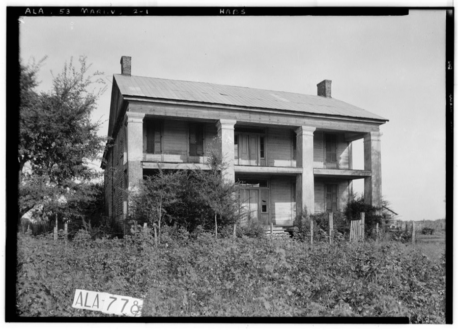

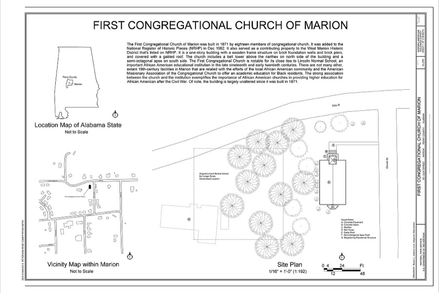

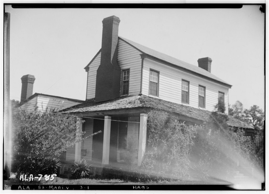
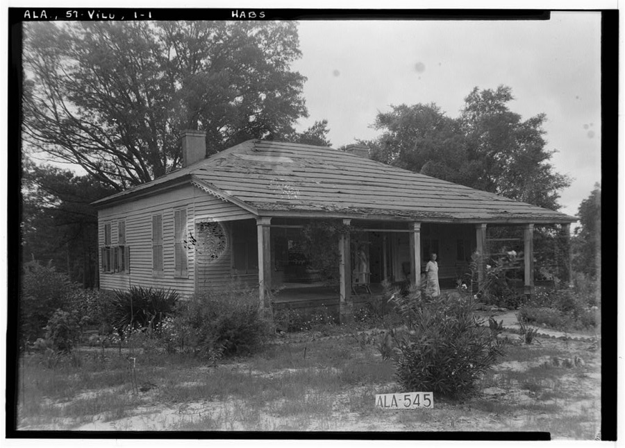
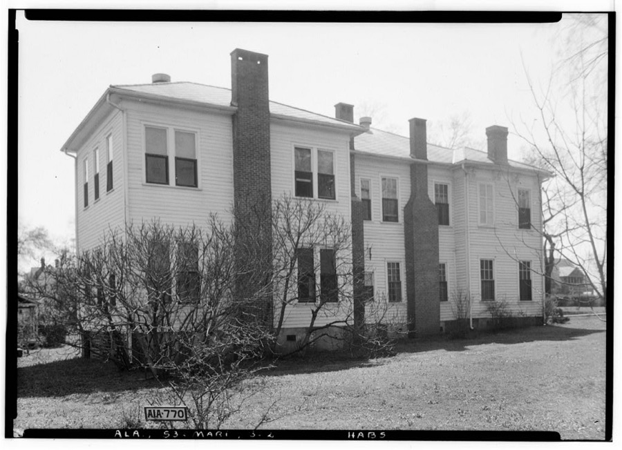
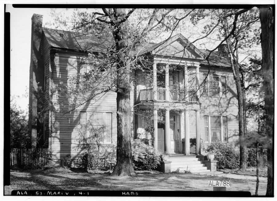
Every property in this county listed on the National Register of Historic Places, with the year it was listed and the federal nomination document.
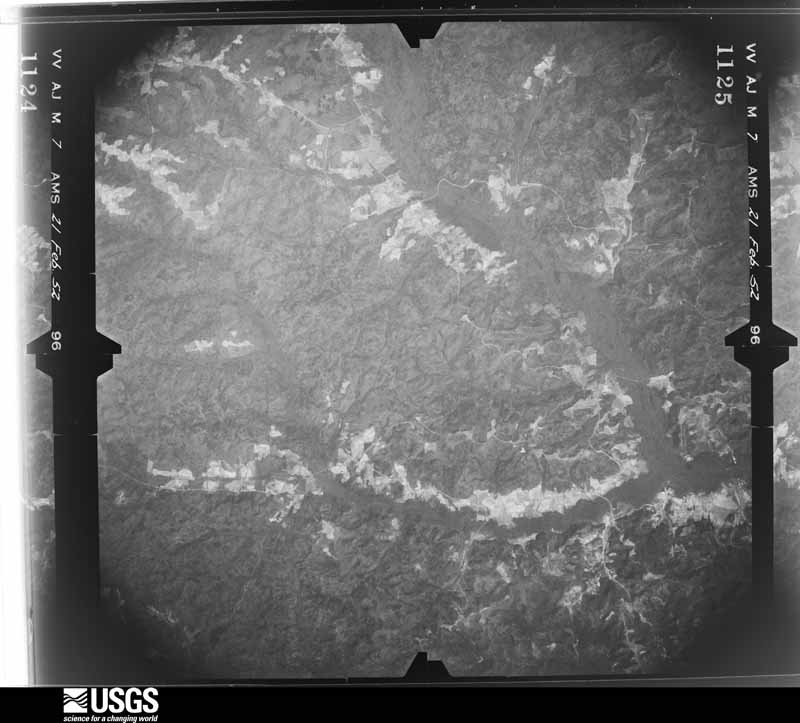
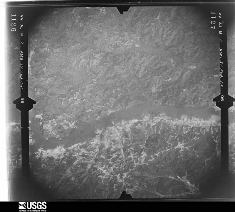
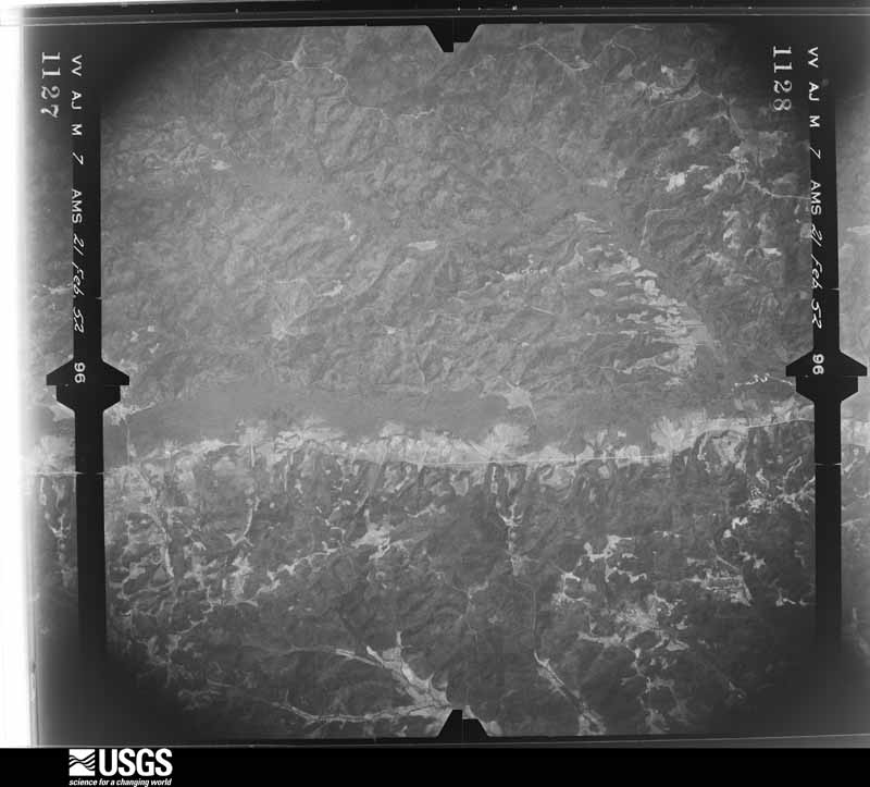
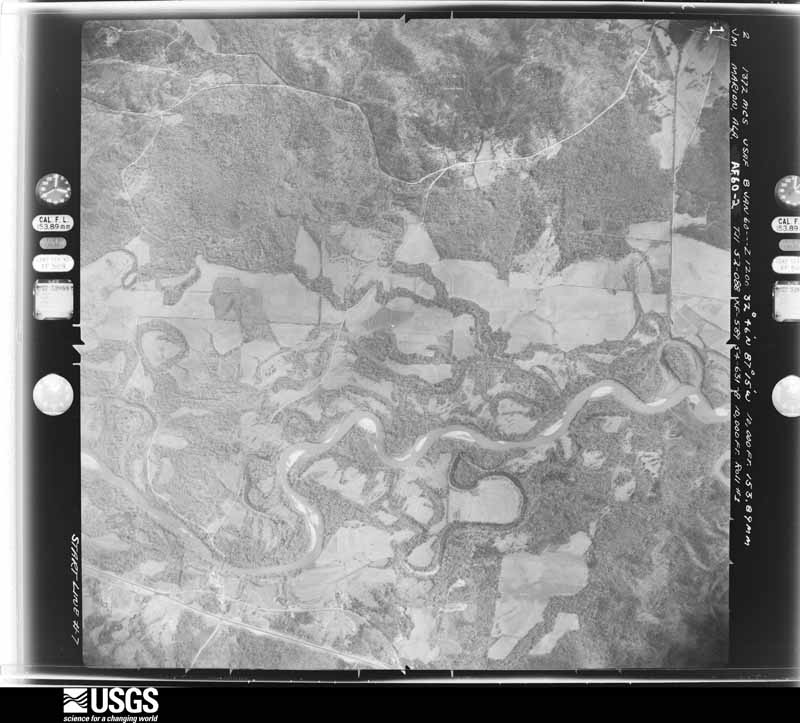
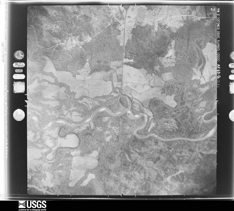
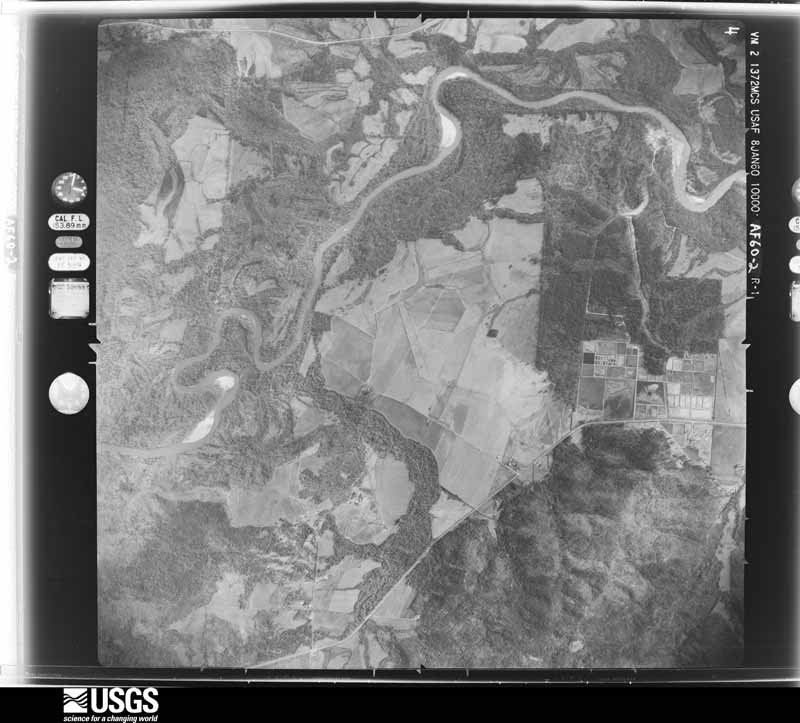
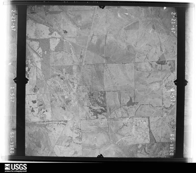
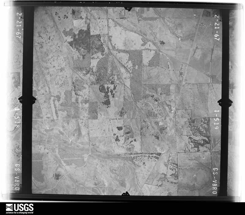
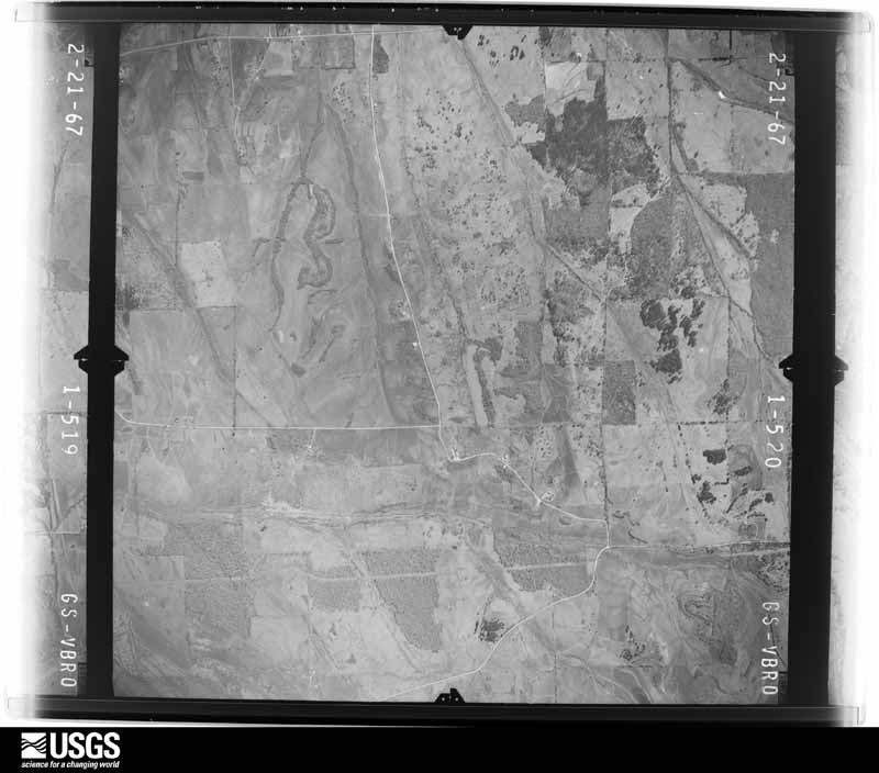
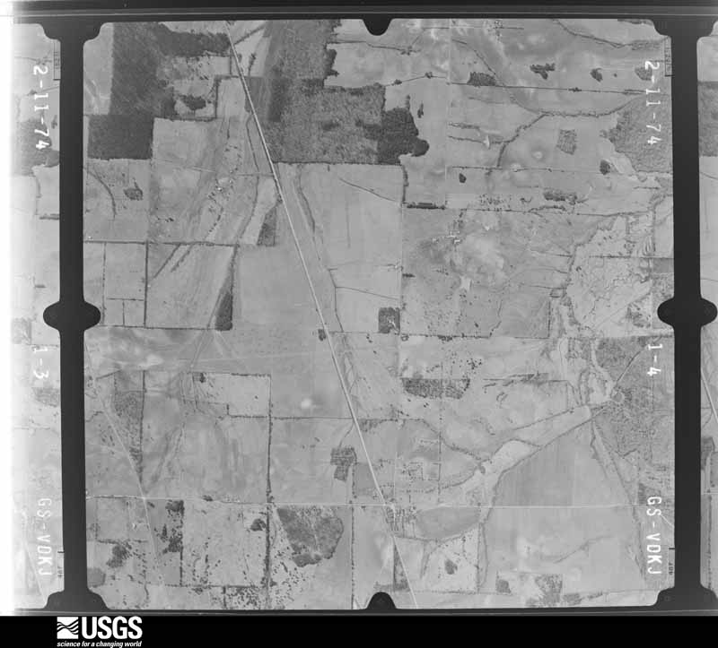
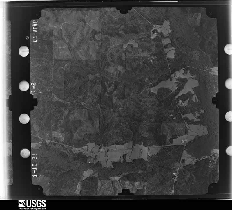
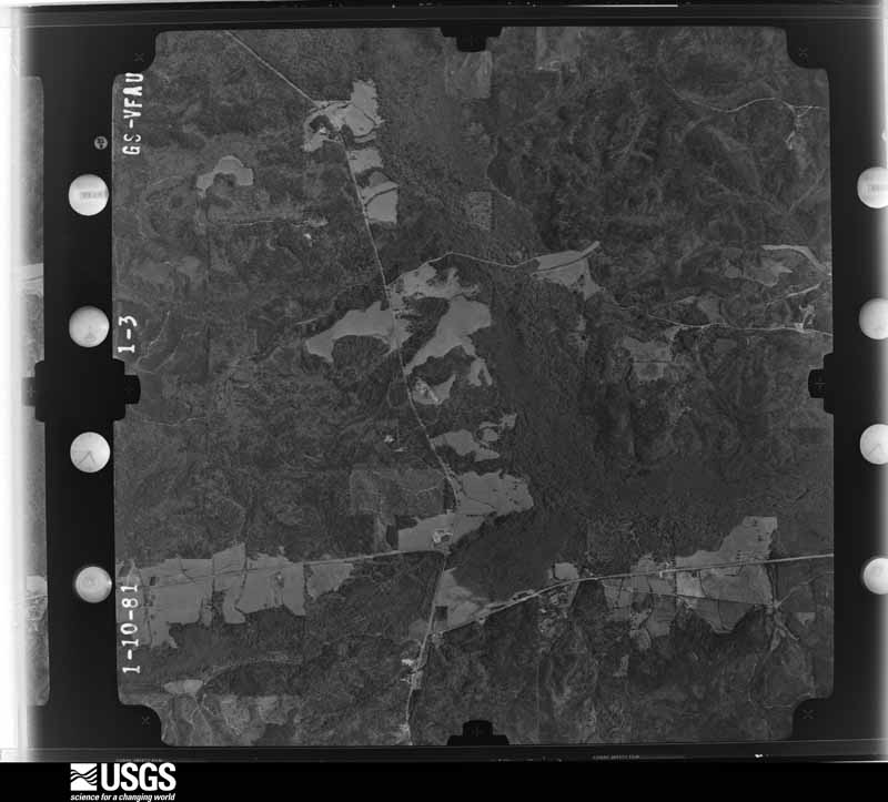
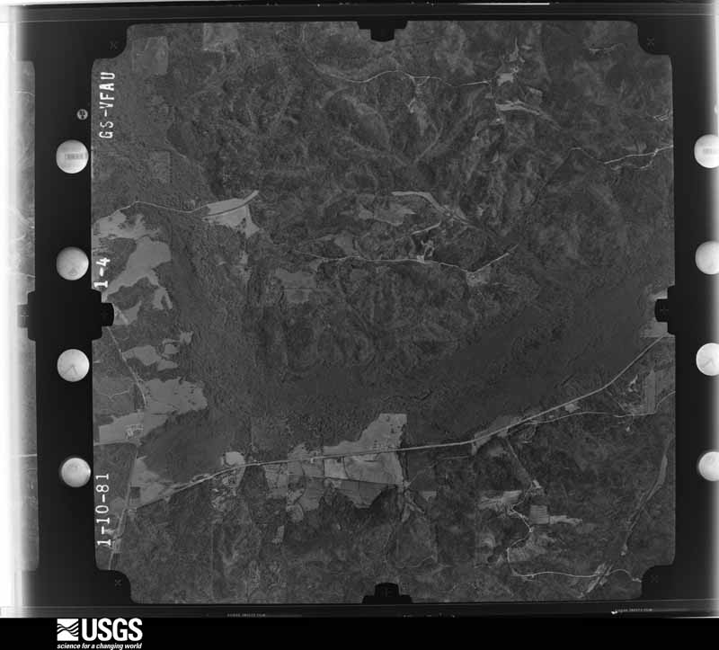
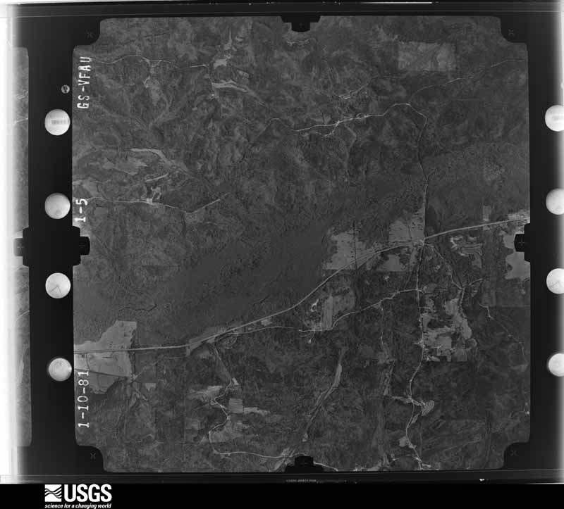
Flown by the U.S. Geological Survey between 1937 and 1989, the Aerial Photo Single Frames collection is the definitive mid-century view of the land: fields, roads and rivers as the camera saw them. The Survey holds 1,202 frames inside the rectangle that bounds this county; the 24 frames below were taken over the county itself, chosen across the decades of flights (at most four a year from that rectangle), so one flight cannot crowd out the rest. The full set is free to browse and download at EarthExplorer under the dataset Aerial Photo Single Frames.


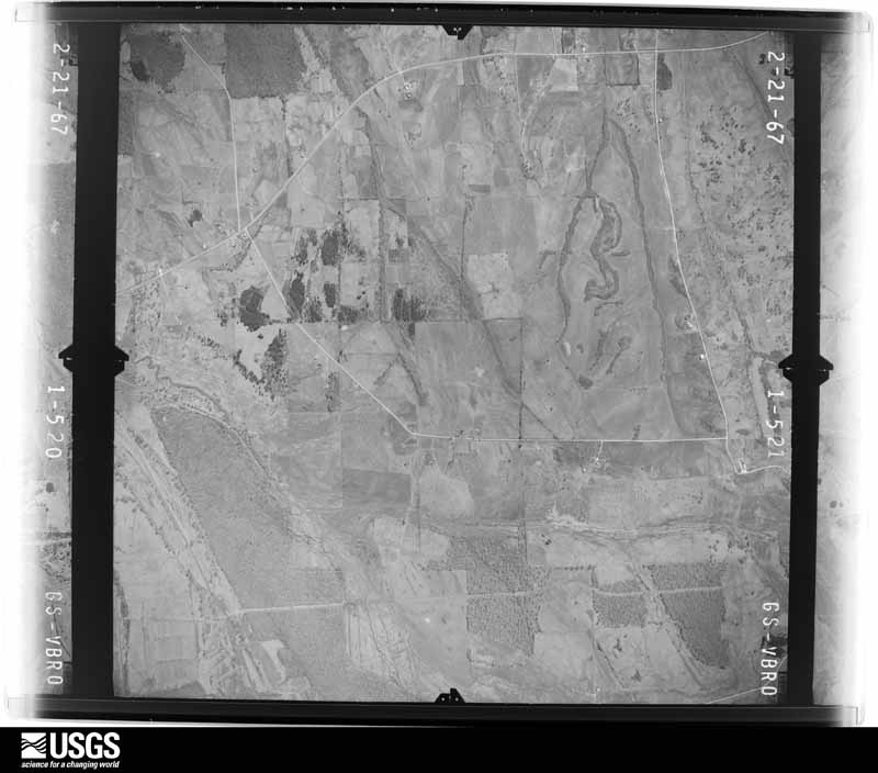
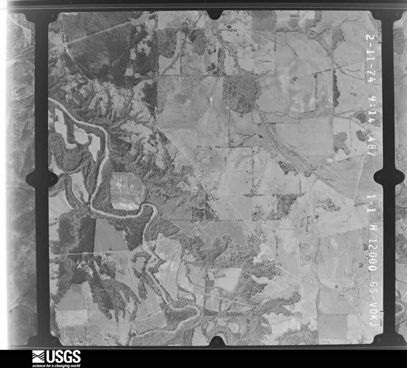
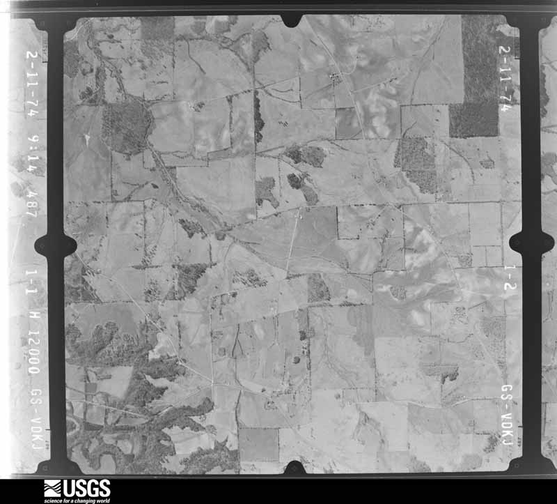
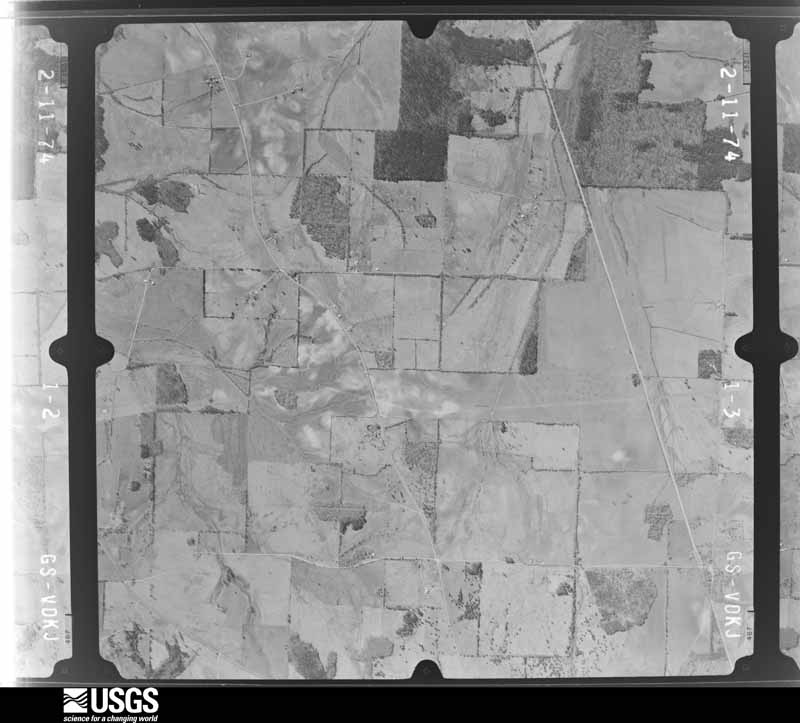




The thermometers that kept this county's weather, and the gages that measured the flow of its streams, as the federal records hold them. The extremes below are measured values from those records, not estimates.
Who lived here in 1950, one enumeration district at a time, as the Census Bureau described each district. Each row opens its official National Archives result, with Population Schedules and ED Maps available there.
Every wildfire the federal occurrence database records inside this county: 986 of them, burning about 10,253 acres. 56 started naturally and 98 were recorded as arson. Each settlement page carries the fires within five miles of it.
| Reported cause | Fires |
|---|---|
| Debris and open burning | 326 |
| Missing data/not specified/undetermined | 216 |
| Equipment and vehicle use | 136 |
| Arson/incendiarism | 98 |
| Natural | 56 |
| Smoking | 55 |
| Recreation and ceremony | 47 |
| Railroad operations and maintenance | 18 |
| Misuse of fire by a minor | 15 |
| Power generation/transmission/distribution | 11 |
| Other causes | 8 |
The five largest, by the area the report gives. Two of them were set deliberately.
| Date | Cause | Size | Reported by | Name on the report |
|---|---|---|---|---|
| 23 March 2007 | Arson/incendiarism | 475 acres | National Forests in Alabama | SIDEWAYS |
| 24 June 2009 | Natural | 410 acres | National Forests in Alabama | BARNETT BRANCH |
| 22 November 2020 | Missing data/not specified/undetermined | 343 acres | National Forests in Alabama | OK 728 |
| 24 March 2008 | Arson/incendiarism | 337 acres | National Forests in Alabama | FIVEMILE |
| 10 March 2013 | Missing data/not specified/undetermined | 261 acres | Alabama Forestry Commission | NWR-20130310-001 |
| 23 March 2007 | Smoking | 255 acres | Alabama Forestry Commission | OAKMULGEE SOUTH |
| 6 August 2008 | Natural | 250 acres | Alabama Forestry Commission | WAREHOUSE |
| 12 March 2005 | Debris and open burning | 242 acres | National Forests in Alabama | CAHABA |
Every settlement page carries the fires within five miles of it - see the settlement index below.
The NOAA Storm Events Database holds 162 reports for this county, causing no deaths, 6 injuries and about $31,514,000 in recorded property damage. Each settlement page carries the reports that name it.
| Kind of event | Reports |
|---|---|
| Thunderstorm Wind | 64 |
| Hail | 47 |
| Tornado | 41 |
| Flash Flood | 9 |
| Heavy Rain | 1 |
The most serious of them, by death, then injury, then recorded damage. The accounts are quoted exactly as the forecast office filed them.
| When | Event | Place named | Harm | What the report says |
|---|---|---|---|---|
| September 1979 | Tornado (F2) | not stated | 2 hurt, $250,000 | no account filed |
| December 1961 | Tornado (F3) | not stated | 2 hurt, $250,000 | no account filed |
| December 1961 | Tornado (F2) | not stated | 1 hurt, $25,000 | no account filed |
| February 1987 | Thunderstorm Wind | not stated | 1 hurt | no account filed |
| May 1973 | Tornado (F4) | not stated | $25,000,000 | no account filed |
| March 1967 | Tornado (F2) | not stated | $2,500,000 | no account filed |
| April 2011 | Tornado (EF1) | Marion Perry Co Arpt | $1,300,000 | A tornado touched down 5.5 miles south of Marion, 1 mile west of CR 35 and tracked northeastward. The tornado destroyed an outbuilding and damaged the roof of a single family home along CR 38. The tornado strengthened to EF1 with winds of 90 mph as it crossed CR 45, north of Vilula. Many trees were knocked down near the Faith Chapel Baptist Church. The tornado damaged a couple barns along Kynard Rd and quickly dissipated just east of CR 4. |
| April 2011 | Tornado (EF2) | Uniontown | $645,000 | A tornado touched down in Smith County, Mississippi and tracked through Jasper and Clarke Counties (See Storm Data Jackson), where it caused EF4 rated damage. The tornado then crossed into Choctaw County (See Storm Data Mobile) Alabama, where it caused EF3 rated damage. The tornado tracked across portions of Sumter, Marengo and western Perry Counties, before it dissipated. The tornado crossed into Perry County north of Uniontown and produced significant tree damage. The tornado crossed AL Hwy 183, where it damaged two outbuildings and destroyed a grain silo. The tornado lifted east of AL Hwy 183, northeast of Uniontown. |
| May 2003 | Hail | Uniontown | $250,000 | no account filed |
| April 1974 | Tornado (F2) | not stated | $250,000 | no account filed |
| April 2004 | Thunderstorm Wind | Marion | $150,000 | no account filed |
| October 2001 | Tornado (F1) | Uniontown | $110,000 | A small tornado touched down just southwest of Uniontown in an open area and traveled north-northeast across the western portions of Uniontown. The tornado ended just north-northwest of Uniontown in an open area. The tornado tore shingles off several houses in the southwest section of Uniontown in addition to downing trees and power lines. The tornado did similar damage to residential structures in the northwest portion of Uniontown. A one-story apartment complex lost a portion of it's roof. Several trees fell on homes and blocked residential streets. Beginning: 32 26.587/87 31.219 End: 32 27.857/87 30.951 |
| May 2009 | Thunderstorm Wind | Marion | $100,000 | Thousands of trees were blown down across Perry County. |
| March 1996 | Tornado (F1) | Marion | $95,000 | no account filed |
| April 2003 | Hail | Heiberger | $75,000 | The supercell thunderstorm moved along the Bibb and Perry County line throwing large hail into extreme northern Perry County. Hail ranging from penny size up to the size of lemons was reported. The hail fell from north of North Perry, to north of Heiberger, and into the Talladega National Forest near Oakmulgee. |
| March 2000 | Tornado (F0) | Heiberger | $40,000 | A weak tornado moved through mostly rural parts of northern Perry County. Numerous trees were blown down or snapped off along the 7 mile path of the tornado. At the Heiberger Grocery Store, one large portable building used for voting was totally destroyed, a glass gas sign was blown out by the high winds, windows were broken, one wall of a building was moved, and the store sustained minor roof damage. Several homes in Heiberger also had minor roof damage. One mobile home had a tree fall on it. Beginning: 32 45.800/87 23.260 Ending: 32 47.050/87 15.771 |
| April 2011 | Tornado (EF2) | Vilula | $38,000 | A tornado touched down 2.7 miles north of Hamburg, just west of County Road 45. The tornado moved northeast where it snapped or uprooted several trees. As the tornado crossed County Road 45, it strenghtend to and EF-2 rating, with maximum winds of 115 mph. A barn sustained roof damage and a significant number of trees were snapped or uprooted. The tornado lifted about 0.5 miles west of County Road 45. |
| April 2009 | Tornado (EF1) | Marion | $30,000 | The tornado touched down in a wooded ravine, between Nichols Lane and CR-7. It then traveled east-northeast for just over a mile, and lifted near the intersection of Coles Truck Stop Road and AL-5. Along the path, approximately 100 hardwood trees were snapped, and near the end of the path, several hardwoods were uprooted. A home sustained minor damage to shingles and siding. The occupant of the home took refuge in a closet, and was unharmed, after her brother called to inform her of the tornado warning. |
| April 2005 | Flash Flood | Countywide | $28,000 | no account filed |
| November 2010 | Tornado (EF1) | Scott Station | $25,000 | The tornado touched down briefly near CR-3, about a half mile south of CR-24. Several large pine trees were snapped off and several large hardwood trees were uprooted. The brick siding of one side of a home was heavily damaged, and a nearby storage shed was destroyed. |
| May 2003 | Hail | Marion | $25,000 | A swath of large hail occurred from west central Perry County near Scotts Station to near the Vaiden Airport. The hail may have been much larger in surrounding rural areas. A few trees were also blown down and one outbuilding was destroyed. |
| January 1998 | Flash Flood | Countywide | $25,000 | no account filed |
| April 2011 | Tornado (EF0) | Ellawhite | $23,000 | A tornado touched down just north of Cooper Road off Highway 65 in Perry County. The tornado moved east-northeast where it snapped and uprooted numerous trees. Two outbuildings sustained significant damage. The tornado lifted just south of Highway 80 off of Tayloe Road. |
| April 2003 | Hail | Vaiden | $18,000 | Supercell 4 became severe across extreme southern Perry County. Hail up to half dollar size was reported along the path. |
| December 2000 | Thunderstorm Wind | Uniontown | $15,000 | A few trees were knocked down in Uniontown. One of the trees fell onto a carport and smashed a car. |
| March 2011 | Thunderstorm Wind | Uniontown | $10,000 | Scattered trees and powerlines were downed in Uniontown. |
| March 2011 | Flash Flood | Folsom | $10,000 | Several Roads were closed due to flooding in Marion. Four homes were also flooded. |
| April 2009 | Tornado (EF1) | Scott Station | $10,000 | The tornado touched down on Luke Jackson Road, just east of AL-61. From there, it traveled to the east-northeast, crossing over several dirt roads before lifting near Webb Road. Along the path, several large hardwood trees were uprooted and snapped, and softwoods were snapped. One home sustained minor shingle damage near the beginning of the path. A large deer stand was destroyed near the end of the path. |
| October 2007 | Thunderstorm Wind | Marion | $10,000 | Numerous trees and several power lines were blown down on the western side of the city of Marion. |
| January 2007 | Thunderstorm Wind | Marion | $10,000 | A deteriorating car repair garage was destroyed due to wind getting into the old building and blowing it out. |
| July 1998 | Thunderstorm Wind | Marion | $10,000 | A roof of a downtown building was damaged, blowing debris over the area. Several large trees were also uprooted as well. |
| May 1998 | Hail | Marion | $10,000 | Golf ball size hail was reported in Radford. |
| March 2000 | Tornado (F0) | Heiberger | $10,000 | no account filed |
| May 1998 | Hail | Marion | $10,000 | no account filed |
| May 1996 | Thunderstorm Wind | Marion | $10,000 | no account filed |
| February 2009 | Thunderstorm Wind | Vaiden | $8,000 | Two homes sustained minor roof damage, several trees were blown down, and one old barn was destroyed, near Vaiden Field Airport. Winds were estimated around 70 mph. |
| April 2003 | Hail | Marion | $8,000 | A swath of hail fell across central Perry County associated with supercell 3. Hail was reported from penny size to ping pong ball size. A few locations observed minor accumulations of the hail. The hail may have been larger in the rural areas and was therefore not observed. |
| June 2010 | Thunderstorm Wind | Herberger | $7,000 | Approximately 15 trees were blown down in Heiberger. |
| November 2010 | Thunderstorm Wind | Zimmerman | $6,000 | Metal roofing was peeled off a porch awning and adjoining mobile home. Several large trees were snapped. |
| June 2003 | Hail | Suttle | $6,000 | Golf ball size hail was reported near Suttle along SR 14. |
| November 1997 | Thunderstorm Wind | Marion | $6,000 | Thunderstorm wind snapped trees north of Marion. There were also reports of structural damage north of Marion. |
| April 2011 | Thunderstorm Wind | Sprott | $5,000 | A few trees were downed in the northern portion of Perry County. |
| October 2007 | Thunderstorm Wind | Morgan Spgs | $5,000 | A few trees were blown down in far northwestern Perry County, near the North Perry Community. One home sustained roof damage. |
| October 2007 | Thunderstorm Wind | Marion | $5,000 | Several trees and power lines were blown down on the eastern side of Marion. |
| February 2007 | Tornado (EF0) | Scott Station | $5,000 | The tornado that touched down near Newbern, in Hale County, crossed into far western Perry County. Damage in Perry County was sporadic and light, mainly downed trees. |
| April 2003 | Hail | Heiberger | $5,000 | The second supercell thunderstorm to affect Perry County within an hour followed a path only slightly south of the first storm. Many locations reported twice. Penny to half dollar size hail was reported along the path of this storm. The hail may have been larger but fell in a sparsely populated areas in northern Perry County. |
| April 2002 | Hail | Heiberger | $5,000 | Dime to golf ball size hail fell across extreme northern Perry County just north of North Perry. The hail fell in a rural area but crossed CR 29. |
| March 2000 | Hail | Heiberger | $5,000 | Golfball size hail was reported in Heiberger. |
| March 2000 | Hail | Heiberger | $5,000 | Golfball size hail was reported at the Heiberger Grocery Store on SR 5. |
| May 2003 | Thunderstorm Wind | Uniontown | $5,000 | no account filed |
| August 2011 | Thunderstorm Wind | Sprott | $4,000 | Numerous trees were knocked down across Perry county, mainly affecting locations north of Marion, including the community of Sprott. |
| October 2010 | Thunderstorm Wind | Scott Station | $4,000 | Several trees were blown down across County Road 24. |
| March 2005 | Thunderstorm Wind | Countywide | $4,000 | A few trees were blown down across the county. |
| July 2005 | Flash Flood | Uniontown | $4,000 | Broadway Avenue and County Road 26 were flooded and were temporarily impassable. |
| December 2000 | Tornado (F0) | Suttle | $4,000 | A weak tornado briefly touched down just north of the city of Suttle. The tornado was briefly on the ground as it crossed SR 14 between Suttle and Radford, in rural southeast Perry County. Several trees were snapped off or blown over along the short path. This tornado occurred at the apex of a bowing line of thunderstorms. Beginning: 32 33.208/87 11.931 Ending: 32 33.452/87 10.977 |
| December 2000 | Hail | Uniontown | $4,000 | Golf ball size was reported by the Uniontown Police Department. |
| August 2011 | Thunderstorm Wind | Suttle | $3,000 | Several trees were knocked down along County Road 6 and County Road 10 in southwest Perry county. |
| June 2010 | Thunderstorm Wind | Suttle | $3,000 | Several trees were blown down on CR-6 along the Cahaba River. |
| February 2007 | Thunderstorm Wind | Marion | $3,000 | Several trees were blown down near the intersection of of SR 5 and CR 38. |
| March 2000 | Hail | Marion | $3,000 | One inch diameter size hail fell in Marion. |
Named settlements recorded in the Geographic Names Information System, each with the topographic sheets covering it. Villages, hamlets and abandoned places alike. Each is shown with the nearest named watercourse or landform and the survey quadrangle it falls on. The 2 places that were also surveyed for fire insurance come first, with the number of atlases and photographs held for them.
Marion census division · 36756 · Marion North quadrangle
11 sheets, 1953 to 2002
Fire insurance: 8 atlases
Uniontown census division · 36786 · Uniontown West quadrangle
11 sheets, 1953 to 1986
Fire insurance: 8 atlases
Sprott census division · 36756 · On Bonnet Creek · Harrisburg quadrangle
11 sheets, 1953 to 2002
Sprott census division · 36701 · On Tate Branch · Summerfield quadrangle
13 sheets, 1953 to 2002
Sprott census division · 36756 · On Little Creek · Sprott quadrangle
12 sheets, 1953 to 2002
Heiberger census division · 36756 · On Williams Branch · Heiberger quadrangle
11 sheets, 1953 to 2002
Heiberger census division · 36756 · On Potato Patch Creek · Heiberger quadrangle
11 sheets, 1953 to 2002
Sprott census division · 36756 · On Potato Patch Creek · Harrisburg quadrangle
11 sheets, 1953 to 2002
Heiberger census division · 36756 · Morgan Springs quadrangle
10 sheets, 1953 to 1990
Sprott census division · 36701 · Summerfield quadrangle
13 sheets, 1953 to 2002
No longer a settlement
Sprott census division · 36793 · On Pickett Branch · Oakmulgee quadrangle
11 sheets, 1953 to 2002
Sprott census division · 36793 · On Frith Branch · Oakmulgee quadrangle
11 sheets, 1953 to 2002
Uniontown census division · 36786 · On Tayloe Branch · Uniontown East quadrangle
9 sheets, 1953 to 1986
The vanished settlements of Perry County: the places named above that are no longer on the map.
11 topographic sheets and 8 fire insurance atlases, 1884 to 1941
11 topographic sheets and 8 fire insurance atlases, 1884 to 1941
The complete index, with nothing left out. Each of these is a separate record with its own page: a federal survey report, or the case file that argued a property on to the National Register. Both are public domain and reproduced word for word.
The vanished settlements of Perry County, the places these records name that are no longer on the map.