Block
From the record
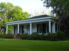
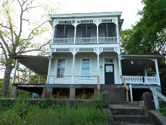
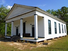
22 National Register listings published here.
Sources: the National Register database, National Park Service
84 topographic sheets and 3 fire insurance atlases across 1 place.
22 National Register listings published here.
Sources: the National Register database, National Park Service
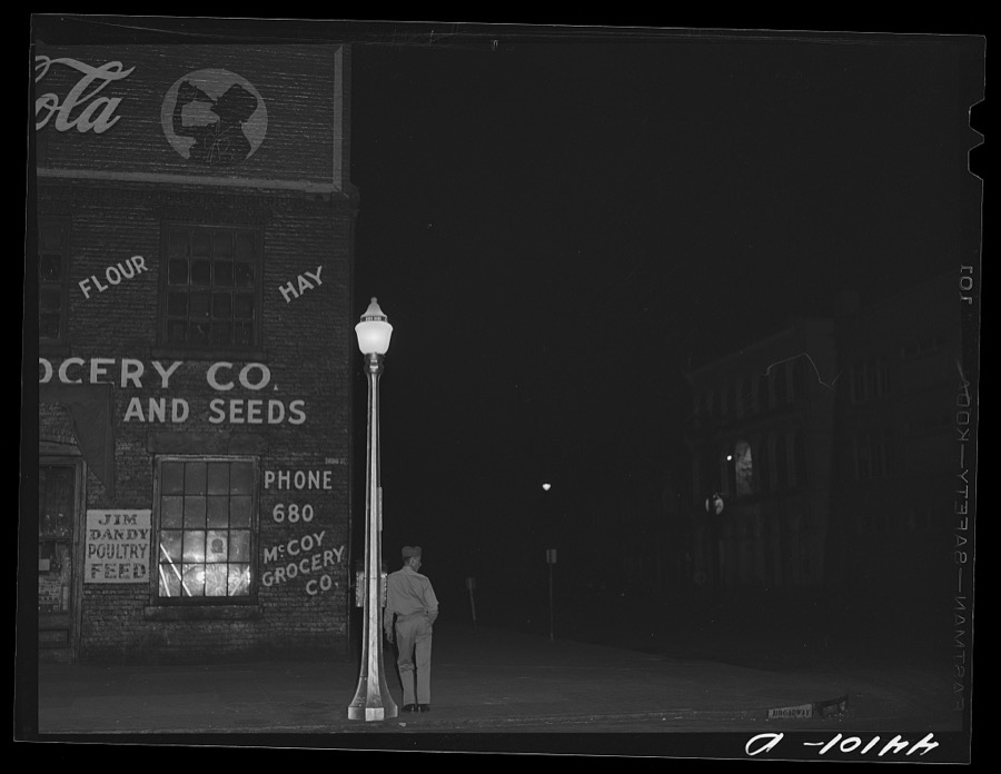
Taken for the Office of War Information and the Farm Security Administration, who photographed the country between 1935 and 1944. Works of United States government photographers, with no known restriction on use. Each opens its catalogue record.

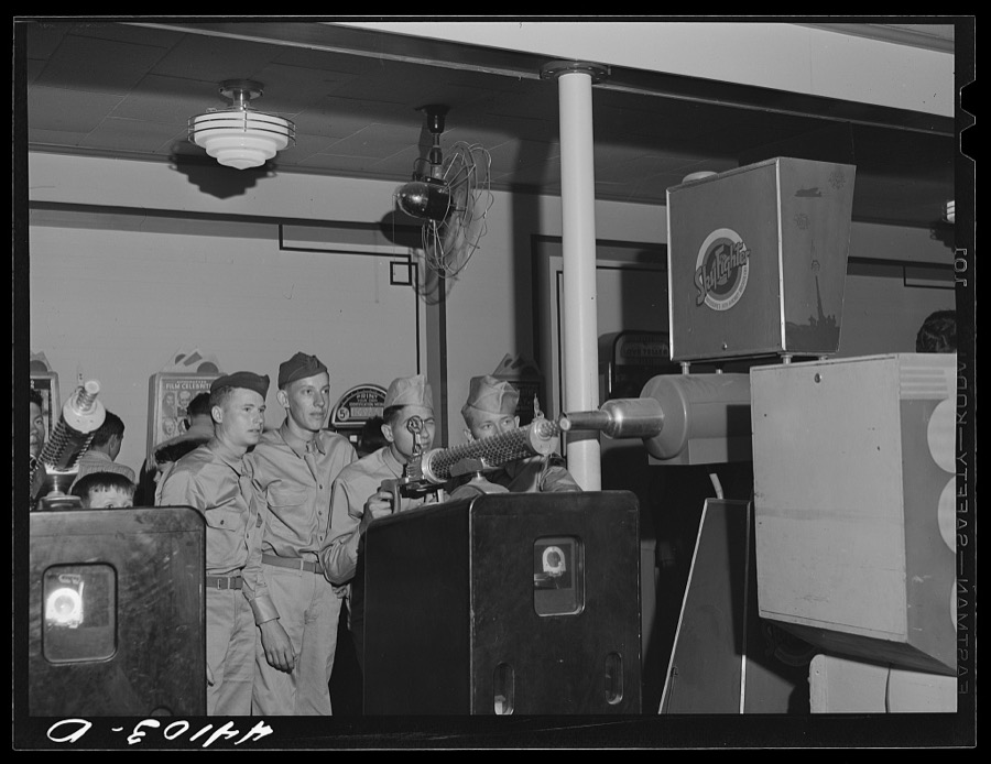
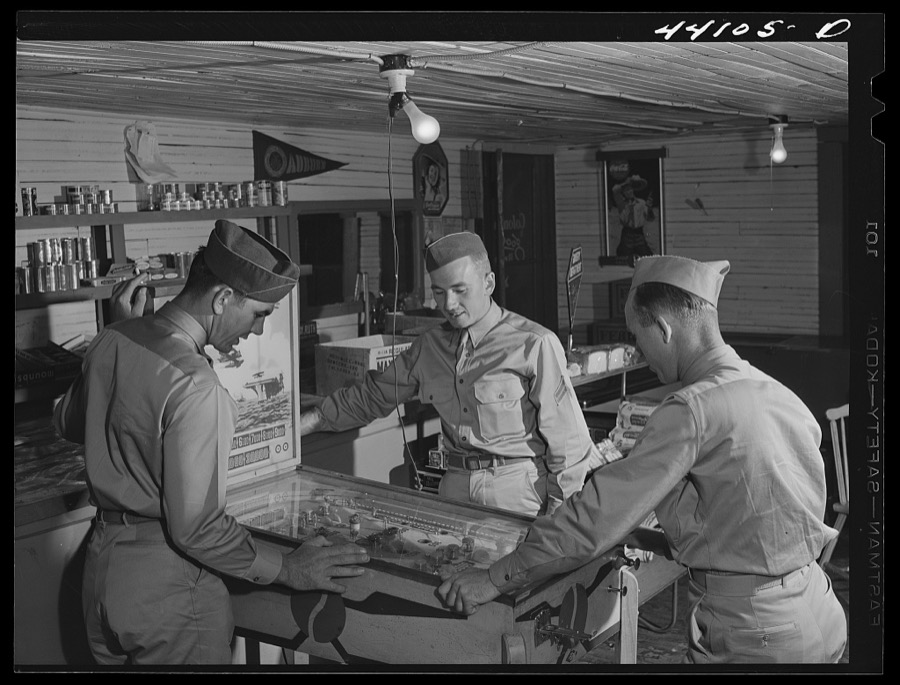


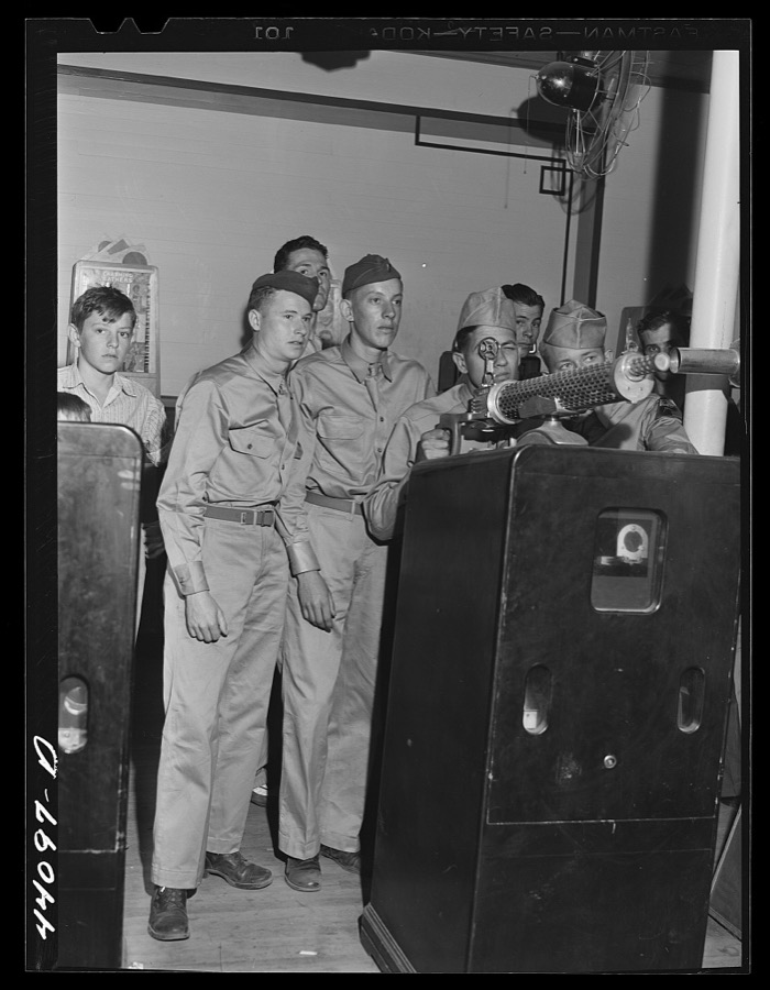
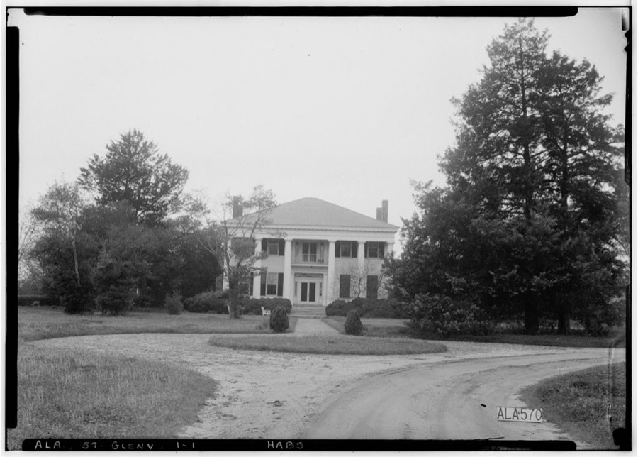
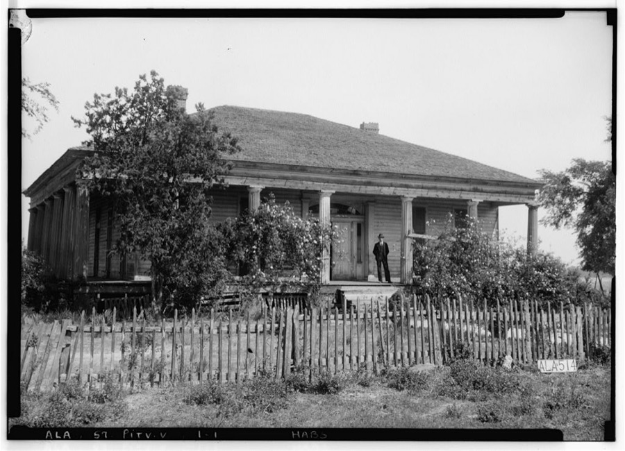
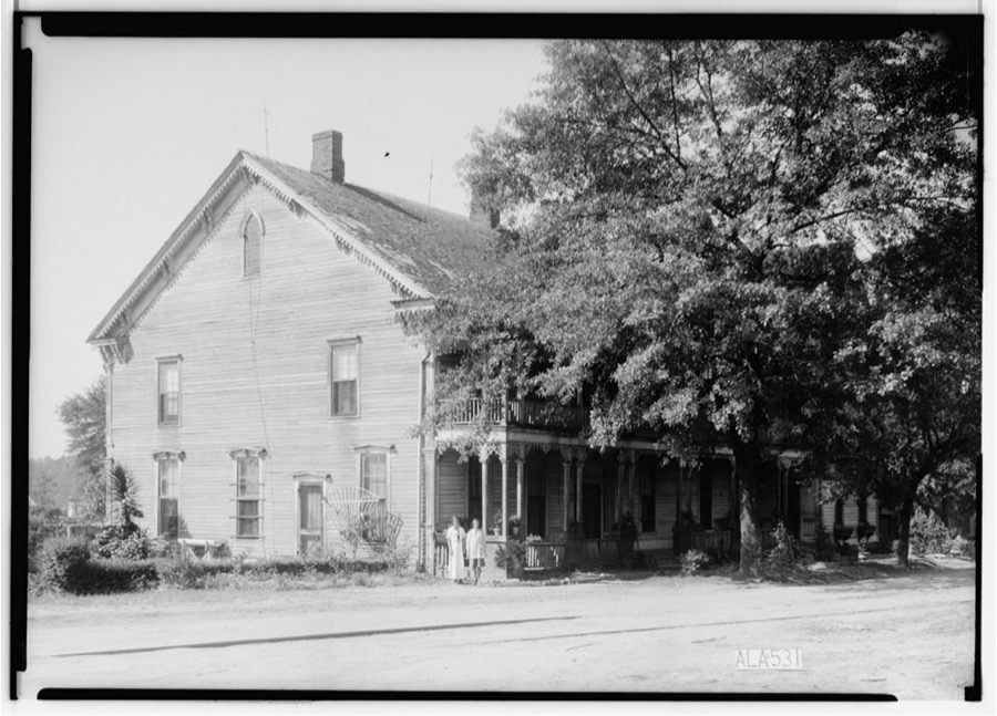
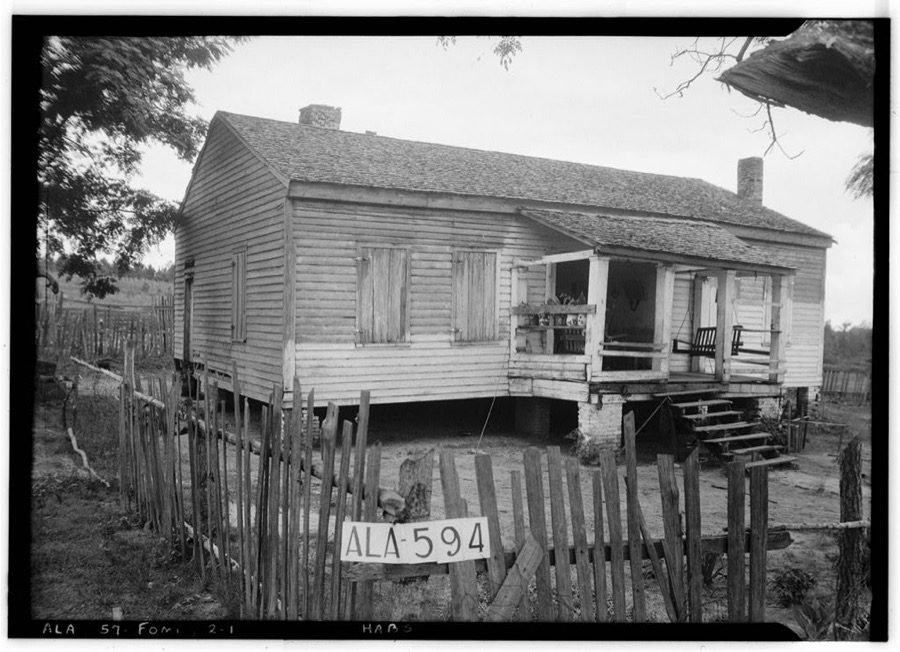
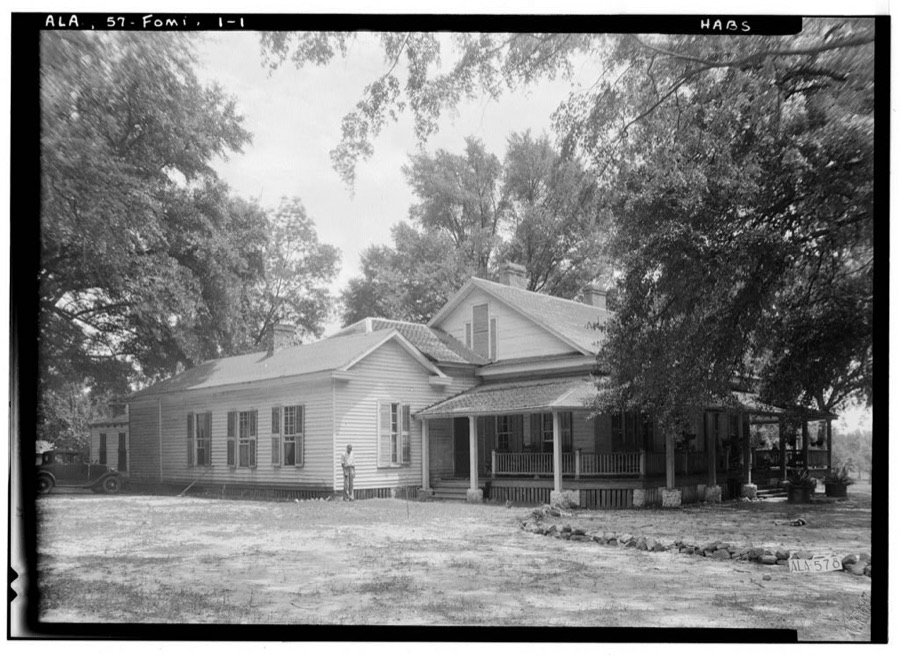
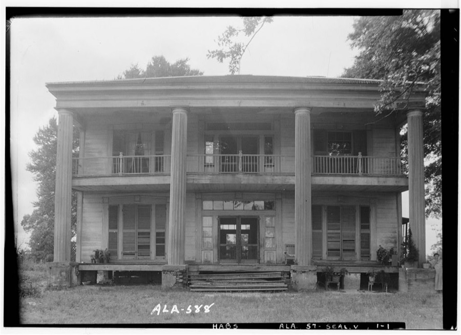
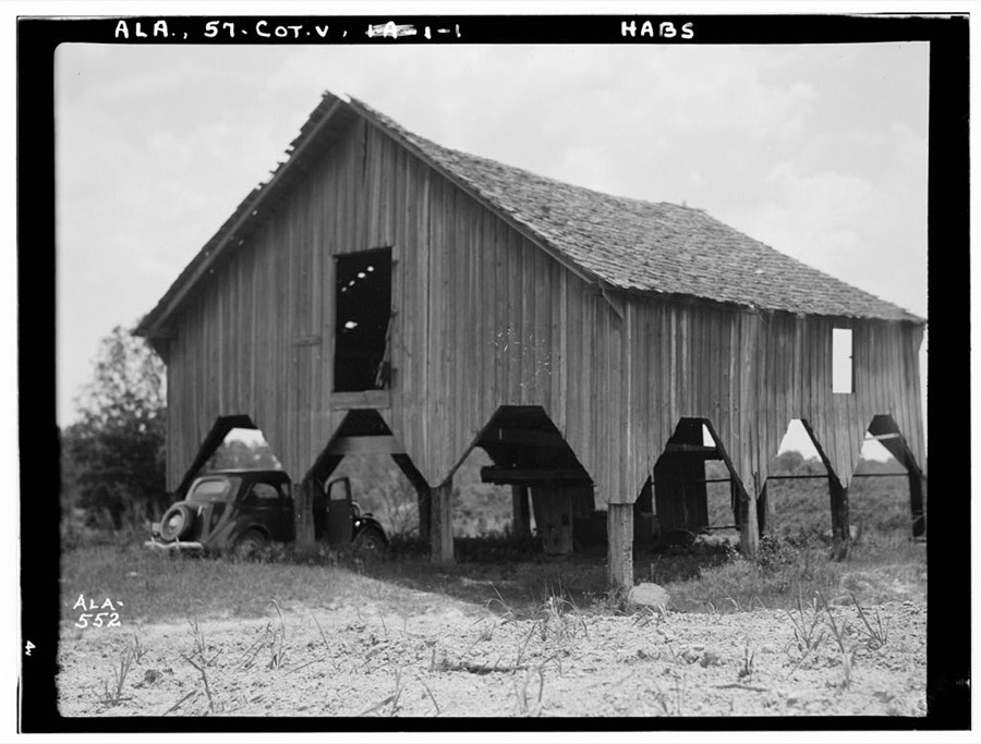
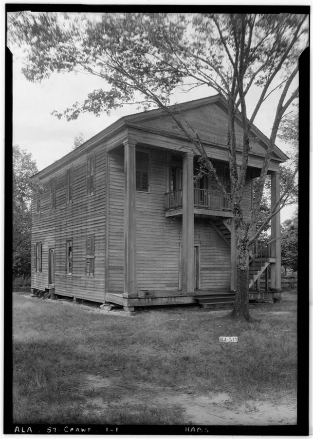
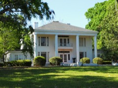
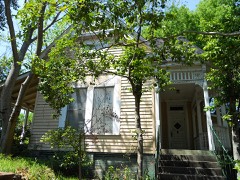
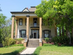
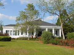
Every property in this county listed on the National Register of Historic Places, with the year it was listed and the federal nomination document.
Selected from the Digital Public Library of America's 1 image records catalogued for this county. Every one shown here carries a public-domain status or a licence that permits reuse on a site that carries advertising; non-commercial, share-alike and restricted images are excluded. The selection is spread across the county's towns (at most eight per town), so no single institution's bulk upload crowds out the rest. Each opens the holding library's record, and the complete set at the Digital Public Library of America is one click away.

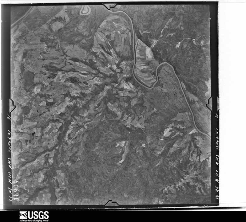
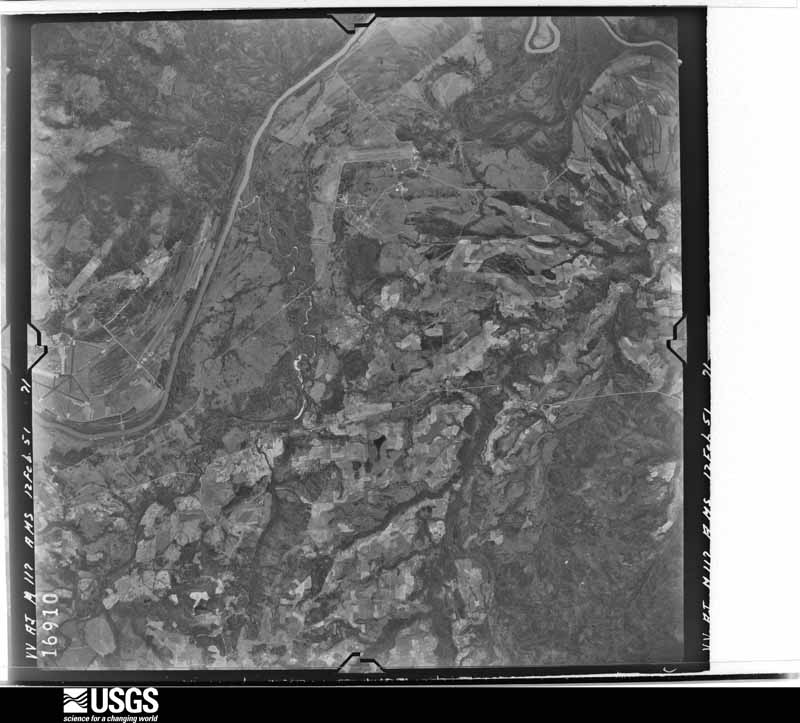
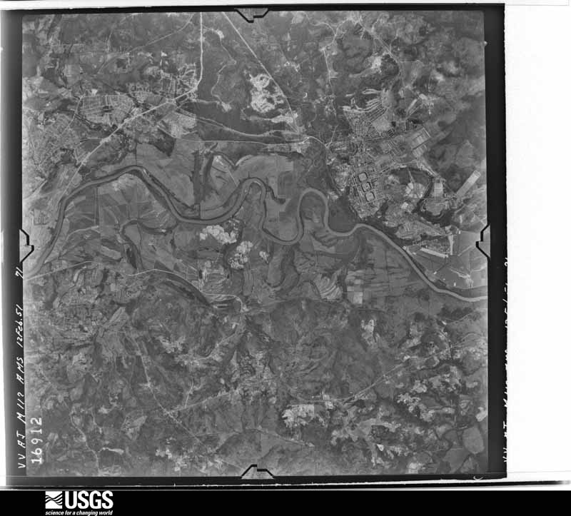
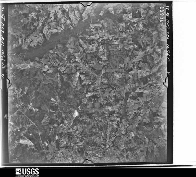
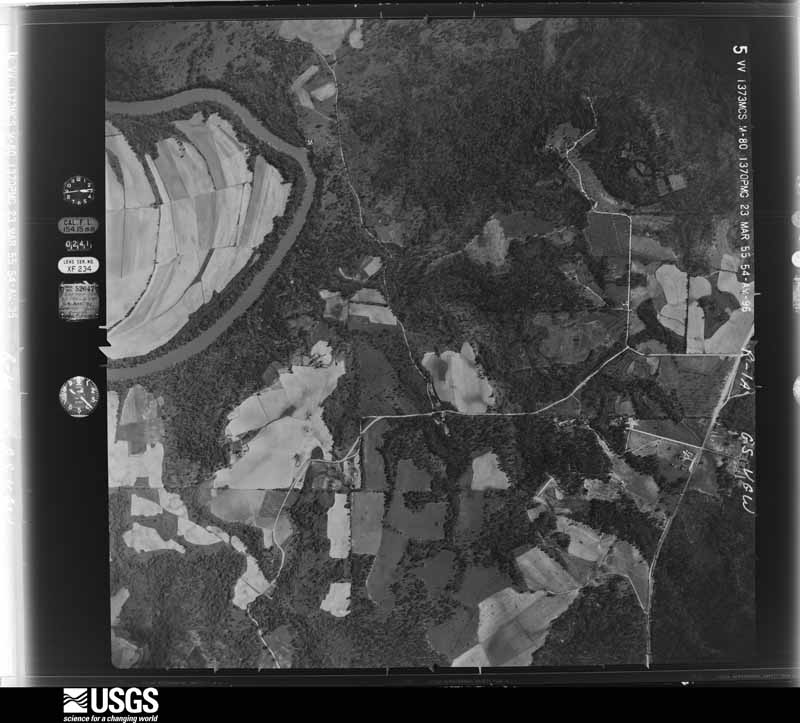
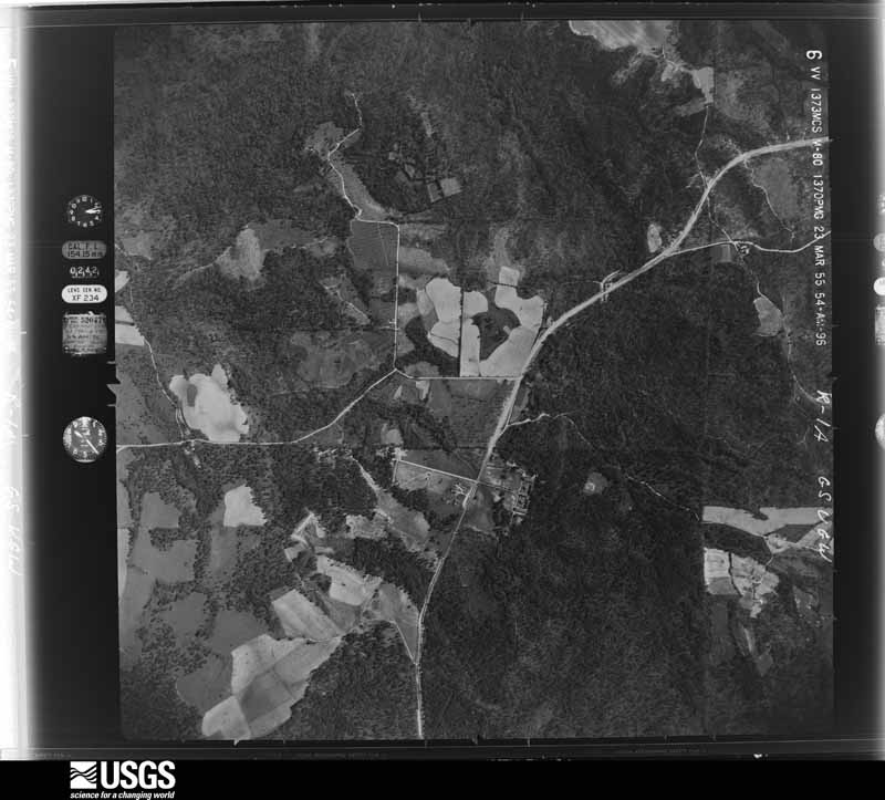
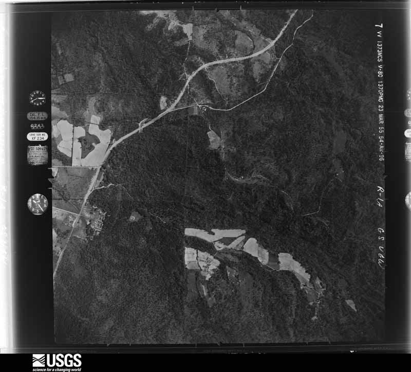
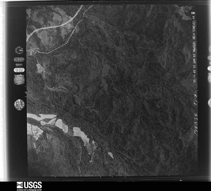
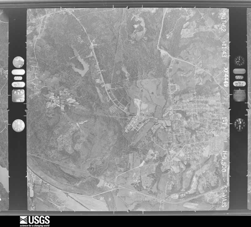
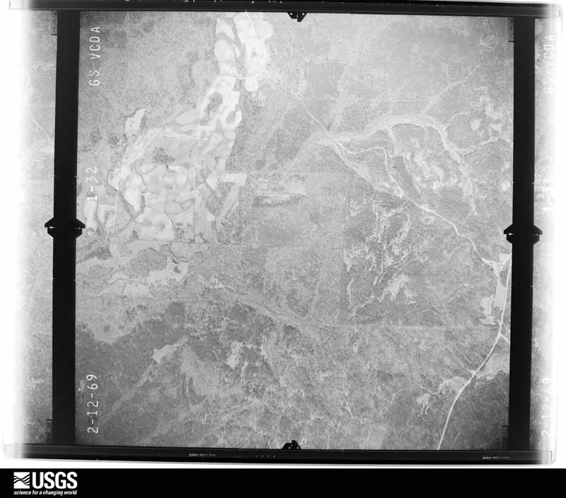
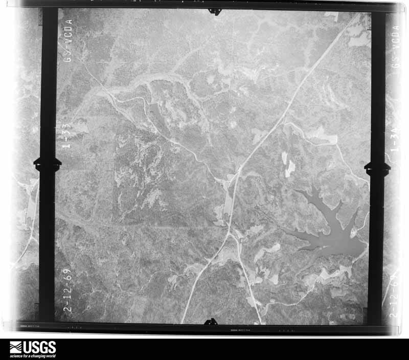
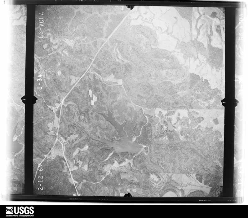
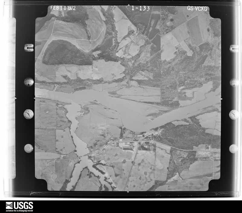
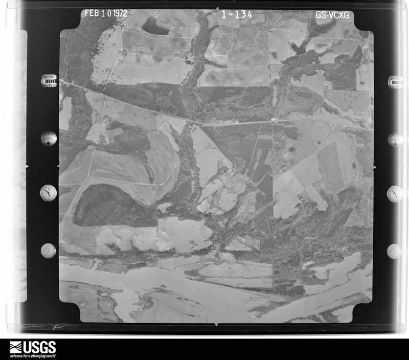
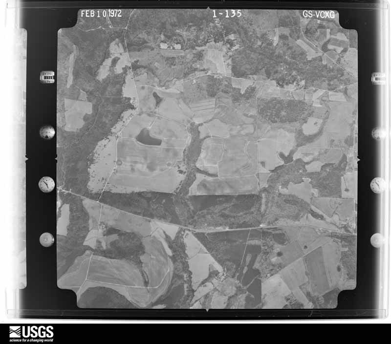
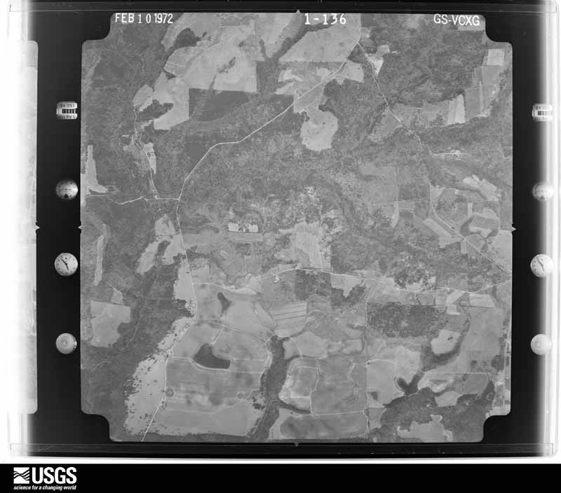
Flown by the U.S. Geological Survey between 1937 and 1989, the Aerial Photo Single Frames collection is the definitive mid-century view of the land: fields, roads and rivers as the camera saw them. The Survey holds 766 frames inside the rectangle that bounds this county; the 24 frames below were taken over the county itself, chosen across the decades of flights (at most four a year from that rectangle), so one flight cannot crowd out the rest. The full set is free to browse and download at EarthExplorer under the dataset Aerial Photo Single Frames.
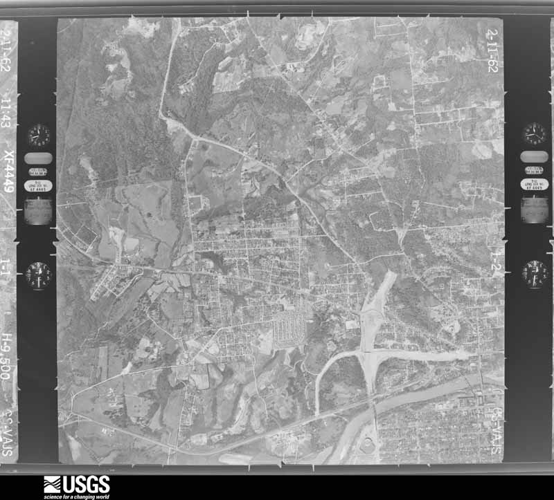
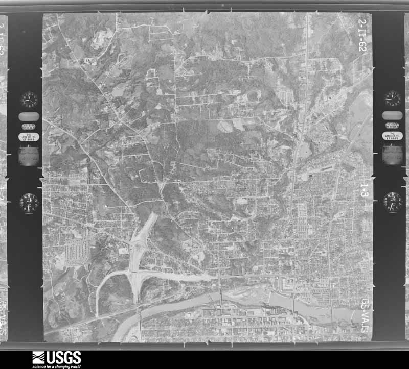
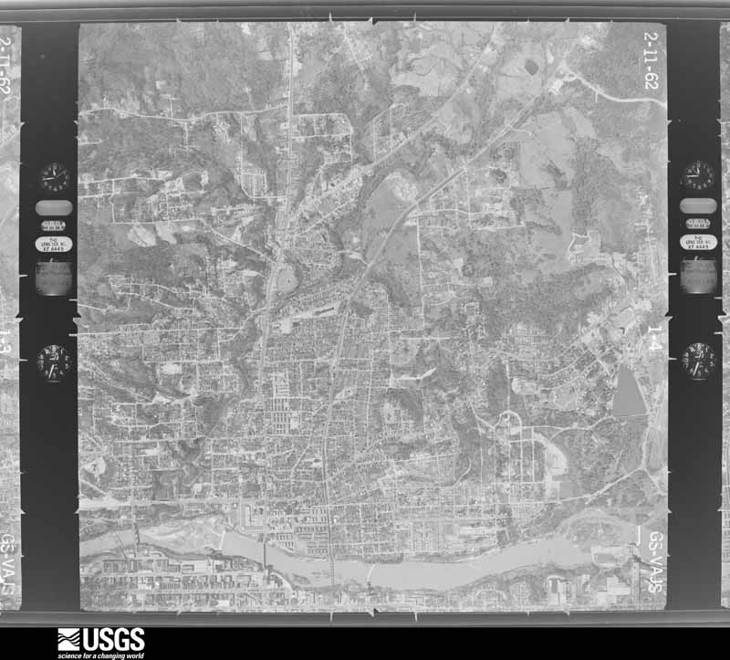
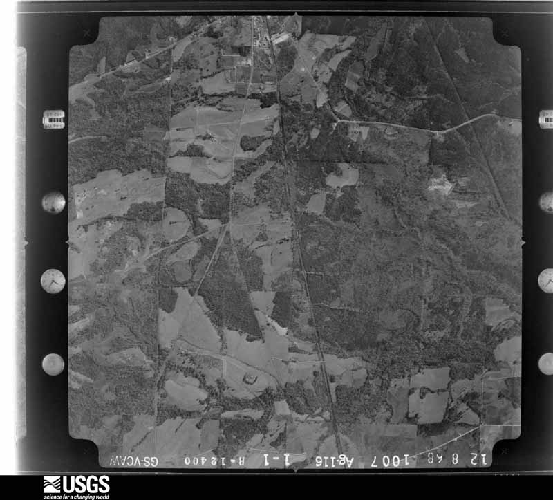
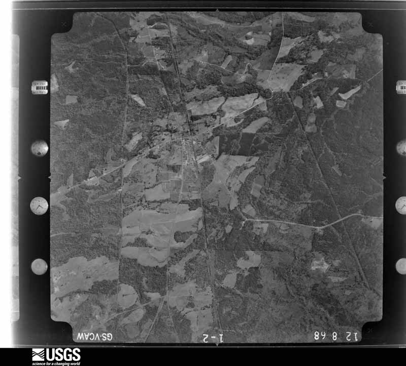
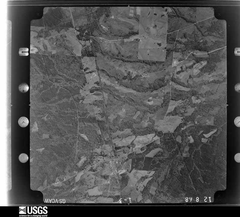
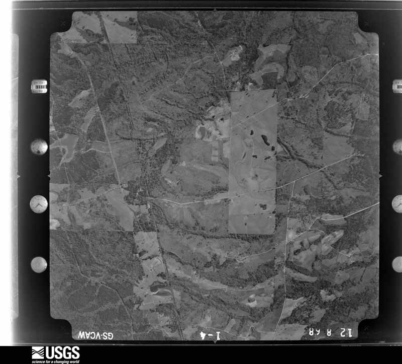
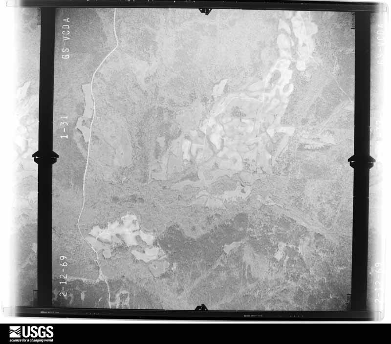
The thermometers that kept this county's weather, and the gages that measured the flow of its streams, as the federal records hold them. The extremes below are measured values from those records, not estimates.
Who lived here in 1950, one enumeration district at a time, as the Census Bureau described each district. Each row opens its official National Archives result, with Population Schedules and ED Maps available there.
Every wildfire the federal occurrence database records inside this county: 1,212 of them, burning about 18,743 acres. 22 started naturally and 240 were recorded as arson. Each settlement page carries the fires within five miles of it.
| Reported cause | Fires |
|---|---|
| Debris and open burning | 493 |
| Arson/incendiarism | 240 |
| Missing data/not specified/undetermined | 201 |
| Recreation and ceremony | 102 |
| Equipment and vehicle use | 50 |
| Smoking | 42 |
| Misuse of fire by a minor | 37 |
| Natural | 22 |
| Railroad operations and maintenance | 21 |
| Other causes | 3 |
| Power generation/transmission/distribution | 1 |
The five largest, by the area the report gives. One of them was set deliberately.
| Date | Cause | Size | Reported by | Name on the report |
|---|---|---|---|---|
| 19 July 2008 | Missing data/not specified/undetermined | 465 acres | Alabama Forestry Commission | DUDLEY |
| 10 March 2013 | Missing data/not specified/undetermined | 450 acres | Alabama Forestry Commission | ECR-20130310-012 |
| 28 November 2016 | Arson/incendiarism | 375 acres | Alabama Forestry Commission | 20161128-26 |
| 14 March 2020 | Debris and open burning | 314 acres | Alabama Forestry Commission | 20200314-4 |
| 20 March 2017 | Missing data/not specified/undetermined | 267 acres | Alabama Forestry Commission | 20170320-2 |
| 8 March 2000 | Debris and open burning | 225 acres | Alabama Forestry Commission | not named |
| 16 June 2011 | Natural | 200 acres | Alabama Forestry Commission | OFF CO RD 12, AL |
| 5 April 2006 | Debris and open burning | 181 acres | Alabama Forestry Commission | CALHOUN |
Every settlement page carries the fires within five miles of it - see the settlement index below.
The NOAA Storm Events Database holds 275 reports for this county, causing 2 deaths, 63 injuries and about $29,744,750 in recorded property damage. Each settlement page carries the reports that name it.
| Kind of event | Reports |
|---|---|
| Thunderstorm Wind | 128 |
| Hail | 88 |
| Tornado | 32 |
| Flash Flood | 21 |
| Funnel Cloud | 3 |
| Lightning | 1 |
| Dust Devil | 1 |
| Flood | 1 |
The most serious of them, by death, then injury, then recorded damage. The accounts are quoted exactly as the forecast office filed them.
| When | Event | Place named | Harm | What the report says |
|---|---|---|---|---|
| April 1981 | Tornado (F3) | not stated | 2 killed, 23 hurt, $25,000,000 | no account filed |
| March 1991 | Tornado (F2) | not stated | 16 hurt, $2,500,000 | no account filed |
| March 1961 | Tornado (F3) | not stated | 7 hurt, $25,000 | no account filed |
| May 1978 | Tornado (F2) | not stated | 4 hurt, $250,000 | no account filed |
| February 2008 | Tornado (EF2) | Glenville | 4 hurt, $120,000 | The tornado touched down near the intersection of US Highway 431 and CR-51 in the southern portion of the county. It then tracked northeastward to the Chattahoochee River near the Cottonton community, before crossing the river into Georgia. The most significant damage was located near CR-12. At least two mobile homes were destroyed and two frame houses received significant damage. Numerous trees were either snapped off or were uprooted along the path. At least one vehicle was flipped over. Four injuries were reported. |
| February 1961 | Tornado (F2) | not stated | 4 hurt, $25,000 | no account filed |
| April 2009 | Tornado (EF1) | Ladonia | 2 hurt, $120,000 | The tornado touched down near the Phenix City Drag Strip, along CR-28. Most of the damage from the tornado was at a mobile home park, where two minor injuries occurred. A couple dozen trees were snapped and uprooted in the area. |
| June 1998 | Thunderstorm Wind | Hurtsboro | 2 hurt, $25,000 | Two people sustained minor injuries in the storm in Hurtsboro when they lost the roof to their home. Trees and power lines were down across the city. |
| April 2009 | Tornado (EF1) | Nuckols | 1 hurt, $50,000 | The tornado briefly touched down and produced damage near the intersection of Ridge Road and Rutledge Road, about 4 miles east-northeast of Seale. One mobile home was lifted off its foundation, spun and flipped, and completely destroyed. One occupant of the mobile home was injured. Several trees were also blown down along the short path. |
| April 2009 | Tornado (EF2) | Girard | $500,000 | The tornado touched down near the intersection of 22nd Avenue and 17th Street in Phenix City. It then traveled northeast through the south end of Phenix City, and crossed the Chattahoochee River and moved into Muscogee County Georgia. Five businesses sustained major damage, and seven homes received varying degrees of roof damage. At least 100 and as many as 200 trees were snapped or uprooted. |
| April 2007 | Hail | Seale | $100,000 | A swath of very large hail, some of it as big as grapefruits, fell across the eastern portion of Russell County, including the cities of Seale, Fort Mitchell, and Holy Trinity. The ground was covered with hail in several locations. At least 4 homes and 15 cars were damaged. |
| April 2003 | Hail | Phenix City | $80,000 | The supercell finished its wrath across Alabama as it exited into Georgia. Russell County received hail slightly larger than golf balls. |
| March 1998 | Flash Flood | Countywide | $75,000 | Some schools were closed after heavy rains moved over the county. Holland Creek flooded and washed out a few roads. |
| July 2008 | Lightning | Seale | $50,000 | A lightning strike caused a house to catch fire. |
| April 1999 | Thunderstorm Wind | Phenix City | $40,000 | One mobile home was destroyed, three mobile homes sustained minor damage, a few houses had minor roof damage, one home had its roof ripped off, and trees and power lines were knocked down on US 80 west of Phenix City. |
| April 2003 | Hail | Hurtsboro | $35,000 | The supercell continued dropping golf ball size hail and eventually moved into Georgia. |
| May 2004 | Thunderstorm Wind | Ladonia | $26,000 | Several trees were blown down near Ladonia. Some of the fallen trees landed on a church causing damage. |
| September 2004 | Flash Flood | Countywide | $25,000 | no account filed |
| January 1998 | Flash Flood | Countywide | $25,000 | no account filed |
| April 1996 | Hail | Seale | $25,000 | no account filed |
| March 1996 | Thunderstorm Wind | Seale | $25,000 | no account filed |
| December 1983 | Tornado (F1) | not stated | $25,000 | no account filed |
| December 1964 | Tornado (F2) | not stated | $25,000 | no account filed |
| April 1963 | Tornado (F2) | not stated | $25,000 | no account filed |
| December 1954 | Tornado (F2) | not stated | $25,000 | no account filed |
| March 1954 | Tornado (F3) | not stated | $25,000 | no account filed |
| March 2005 | Hail | Seale | $22,000 | Large hail was reported in and near the Seale all the way to Phenix City. The hail was nickel to golfball size. |
| March 2005 | Flash Flood | Phenix City | $22,000 | Doppler radar estimated three hour rainfall up to 4 inches across Russell County, with 24 hour amounts up to 6 inches. This heavy rain caused several roads in Phenix city to become flooded and temporarily impassable. Several roads were closed. Some evacuations occurred in low lying areas. |
| September 2011 | Flash Flood | Phenix City | $20,000 | Six houses were flooded with up to 6 inches of water inside in the Phenix City area. |
| April 2009 | Thunderstorm Wind | Phenix City | $20,000 | Numerous trees were blown down, and 4 to 5 homes were damaged, in Phenix City. |
| August 2008 | Thunderstorm Wind | Kaolin | $20,000 | A tree was blown down onto a house, causing significant damage. Trees were blown down at several other locations around Phenix City. |
| March 2006 | Thunderstorm Wind | Countywide | $20,000 | Numerous trees were downed across the county, especially around the Hurtsboro and Seale areas. |
| May 2002 | Thunderstorm Wind | Countywide | $20,000 | Numerous trees were blown down across the county. |
| June 1996 | Thunderstorm Wind | Seale | $20,000 | no account filed |
| July 2005 | Flash Flood | Countywide | $17,000 | Several roadways across Russell County were covered with up to 5 feet of water and were temporarily closed. Flooding was reported in Rutherford, Hatchechubbee, Seale and Phenix City. |
| June 2009 | Thunderstorm Wind | Crawford | $15,000 | Several trees were blown down on Camp Parkman Road, southwest of Phenix City. At least two homes were damaged by the fallen trees. |
| March 1999 | Thunderstorm Wind | Crawford | $15,000 | Several trees were blown down, one roof was torn off a home, and a front porch was destroyed in Crawford. |
| March 2001 | Flash Flood | Seale | $14,000 | Several roads were flooded in and around Seale. A few of the roads had portions washed away. |
| May 2010 | Flash Flood | Hurtsboro | $10,000 | Flooding was reported on Main Street, and on Railroad Street, in the city of Hurtsboro. Water was well over 6 inches deep, and rose up to the door of the police station. |
| April 2009 | Tornado (EF1) | Unland | $10,000 | The tornado touched down near the intersection of CR-83 and Thomas Road. It then traveled east southeast for several miles, crossing US-80 and AL-169 near the Crawford community, before lifting near the intersection of CR-41 and AL-169. The tornado snapped off or uprooted numerous trees along the path. |
| April 2009 | Thunderstorm Wind | Crawford | $10,000 | Several trees were blown down and landed on a house, near the intersection of US-80 and Brooks Road, near the Crawford community. |
| December 2009 | Flash Flood | Pittsview | $10,000 | An estimated 6 inches of rain in a short time caused several dirt roads to become washed out near the Pittsview community. |
| July 2008 | Thunderstorm Wind | Ladonia | $10,000 | The canopies of a service station and a bank drive-through, on US-80 in Ladonia, were heavily damaged. Several trees and power lines were also blown down in the same area. |
| May 2006 | Thunderstorm Wind | Phenix City | $10,000 | Numerous trees and power lines were blown down in Fort Mitchell. |
| June 1998 | Thunderstorm Wind | Phenix City | $10,000 | In Phenix City there were several trees and power lines down. |
| November 1997 | Thunderstorm Wind | Seale | $10,000 | Trees were down and blocking the intersection of CR 18 and CR 39, in the eastern part of the county. |
| June 1996 | Hail | Phenix City | $10,000 | no account filed |
| April 2005 | Thunderstorm Wind | Pittsview | $8,000 | Several trees were blown down or snapped off near CR 4 from Pittsview to Cottonton. Additional tree damage occurred along CR 12 east of Glenville. |
| August 1999 | Thunderstorm Wind | Phenix City | $8,000 | Trees and power lines blown down on Highway 80, just west of Phenix City. |
| April 1999 | Thunderstorm Wind | Pittsview | $8,000 | Numerous trees and power lines knocked down just east of Pittsview near the intersection of CR 4 and CR 39. |
| April 1996 | Hail | Seale | $8,000 | no account filed |
| April 2011 | Thunderstorm Wind | Phenix City | $7,000 | A tree fell on a home in Phenix City. |
| November 1997 | Thunderstorm Wind | Ladonia | $7,000 | Trees were downed along US 431 in the northern part of the county. |
| December 2005 | Hail | Ft Mitchell | $6,000 | Golf ball to baseball size hail fell in and around Fort Mitchell. |
| July 2011 | Thunderstorm Wind | Phenix City | $5,000 | Numerous power lines were reported down around Phenix City. |
| June 2008 | Dust Devil | Uchee | $5,000 | Portions of a mobile home roof were destroyed by what witnesses described as a large dust devil. Firefighters arriving on the scene described debris swirling over 100 feet in the air. |
| April 2007 | Tornado (EF1) | Uchee | $5,000 | The tornado crossed from Macon into Russell County just west of the intersection of AL 51 and Cowpen Road, and then lifted just east of AL 51. Numerous trees were snapped off and uprooted. |
| June 2007 | Thunderstorm Wind | Seale | $5,000 | Two very large trees were blown down and blocked the road, just south of Seale. |
| March 2003 | Hail | Pittsview | $5,000 | A supercell thunderstorm produced a swath of golf ball size hail from near the Rutherford community, to Pittsview, to near Cottonton. |
| May 2003 | Thunderstorm Wind | Seale | $5,000 | Several trees were blown down from near the Crawford Community to south of Phenix City. |
The Survey's mineral resources record lists 20 workings inside this county. 19 still produce and 1 is closed or unrecorded. Each settlement page carries the workings within five miles of it.
| Commodity | Workings |
|---|---|
| Sand and Gravel, Construction | 14 |
| Clay | 5 |
| Titanium, Metal, Zirconium, Kyanite, REE | 3 |
| Silica, Sand and Gravel, Construction | 1 |
The least common of them first, because a county's hundredth gravel pit says nothing its first ten did not.
| Where | Site | Commodity | Status | Recorded |
|---|---|---|---|---|
| Hurtsboro Quarry | Silica, Sand and Gravel, Construction | Producer | Quartz | |
| Chattahoochee River Gravel | Sand and Gravel, Construction, Titanium, Metal, Zirconium, Kyanite, REE | Producer | Ilmenite, Kyanite, Quartz, Rutile, Zircon | |
| Dixieland Mine | Sand and Gravel, Construction, Titanium, Metal, Zirconium, Kyanite, REE | Producer | Ilmenite, Kyanite, Quartz, Rutile, Zircon | |
| Dixieland Pits | Sand and Gravel, Construction, Titanium, Metal, Zirconium, Kyanite, REE | Producer | Placer | |
| Bussey Pit | Clay | Producer | ||
| Cilla Mine | Clay | Producer | ||
| No. 1 Pit | Clay | Producer | ||
| No. 4 Mines | Clay | Past Producer | ||
| Uchee Mine | Clay | Producer | ||
| Creek Pit | Sand and Gravel, Construction | Producer | ||
| Ditch & Trenching Co. Pit | Sand and Gravel, Construction | Producer | ||
| Dixieland Mine | Sand and Gravel, Construction | Producer | ||
| Kendrick Pit | Sand and Gravel, Construction | Producer | ||
| Phenix City Pit | Sand and Gravel, Construction | Producer | ||
| Phenix Pit | Sand and Gravel, Construction | Producer | ||
| Pit Number 7 | Sand and Gravel, Construction | Producer | ||
| Sand Plant Pit | Sand and Gravel, Construction | Producer | ||
| Seale Pit | Sand and Gravel, Construction | Producer | ||
| Uchee Creek Mine | Sand and Gravel, Construction | Producer | Quartz | |
| Uchee Pit | Sand and Gravel, Construction | Producer |
Named settlements recorded in the Geographic Names Information System, each with the topographic sheets covering it. Villages, hamlets and abandoned places alike. Each is shown with the nearest named watercourse or landform and the survey quadrangle it falls on. The 1 place that was also surveyed for fire insurance comes first, with the number of atlases and photographs held for them.
Hurtsboro census division · 36860 · Hurtsboro quadrangle
8 sheets, 1955 to 1981
Fire insurance: 3 atlases
Phenix City census division · On Uchee Creek · Fort Benning quadrangle
23 sheets, 1908 to 1981
No longer a settlement
Phenix City census division · 36869 · On Mill Creek · Phenix City quadrangle
22 sheets, 1914 to 1981
Phenix City census division · 36867 · On Holland Creek · Smiths Station quadrangle
14 sheets, 1907 to 1981
Cottonton-Seale census division · 36871 · On Rocky Creek · Omaha quadrangle
10 sheets, 1955 to 1981
Phenix City census division · 36869 · On Broken Arrow Creek · Fort Mitchell quadrangle
20 sheets, 1914 to 1981
Phenix City census division · 36869 · Phenix City quadrangle
22 sheets, 1914 to 1981
Phenix City census division · 36856 · On Cowpen Creek · Fort Mitchell quadrangle
20 sheets, 1914 to 1981
Phenix City census division · 36867 · On Mill Creek · Phenix City quadrangle
22 sheets, 1914 to 1981
Phenix City census division · 36867 · On Holland Creek · Phenix City quadrangle
22 sheets, 1914 to 1981
Hurtsboro census division · 36858 · On King Branch · Hatchechubbee quadrangle
9 sheets, 1955 to 1981
Cottonton-Seale census division · 36871 · On Briar Creek · Omaha quadrangle
10 sheets, 1955 to 1981
Cottonton-Seale census division · 36027 · On Cliatt Branch · Omaha quadrangle
10 sheets, 1955 to 1981
Phenix City census division · 36869 · On Mill Creek · Phenix City quadrangle
22 sheets, 1914 to 1981
Phenix City census division · 36867 · On Holland Creek · Phenix City quadrangle
22 sheets, 1914 to 1981
Cottonton-Seale census division · 36871 · On Bluff Creek · Omaha quadrangle
10 sheets, 1955 to 1981
Cottonton-Seale census division · 36871 · On Buck Creek · Omaha quadrangle
10 sheets, 1955 to 1981
Phenix City census division · 36856 · On Cowpen Creek · Fort Mitchell quadrangle
20 sheets, 1914 to 1981
Phenix City census division · 36856 · On Sweetwater Branch · Fort Mitchell quadrangle
20 sheets, 1914 to 1981
Crawford census division · 36875 · On Island Creek · Crawford quadrangle
20 sheets, 1914 to 1981
Phenix City census division · 36867 · On Mill Creek · Phenix City quadrangle
22 sheets, 1914 to 1981
Cottonton-Seale census division · 36871 · On Weolustee Creek · Pittsview quadrangle
10 sheets, 1955 to 1981
Hurtsboro census division · 36860 · On Collins Branch · Rutherford quadrangle
8 sheets, 1955 to 1981
Cottonton-Seale census division · 36871 · On Hatchechubbee Creek · Omaha quadrangle
10 sheets, 1955 to 1981
No longer a settlement
Phenix City census division · 36856 · On Uchee Creek · Fort Benning quadrangle
23 sheets, 1908 to 1981
No longer a settlement
Phenix City census division · On Uchee Creek · Fort Benning quadrangle
23 sheets, 1908 to 1981
No longer a settlement
The vanished settlements of Russell County: the places named above that are no longer on the map.
8 topographic sheets and 3 fire insurance atlases, 1916 to 1934
The complete index, with nothing left out. Each of these is a separate record with its own page: a federal survey report, or the case file that argued a property on to the National Register. Both are public domain and reproduced word for word.
The vanished settlements of Russell County, the places these records name that are no longer on the map.