 Block
From the record
13 National Register listings published here.
Sources: the National Register database, National Park Service
58 topographic sheets and 13 fire insurance atlases across 3 places.
13 National Register listings published here.
Sources: the National Register database, National Park Service
Taken for the Office of War Information and the Farm Security Administration, who photographed the country between 1935 and 1944. Works of United States government photographers, with no known restriction on use. Each opens its catalogue record.
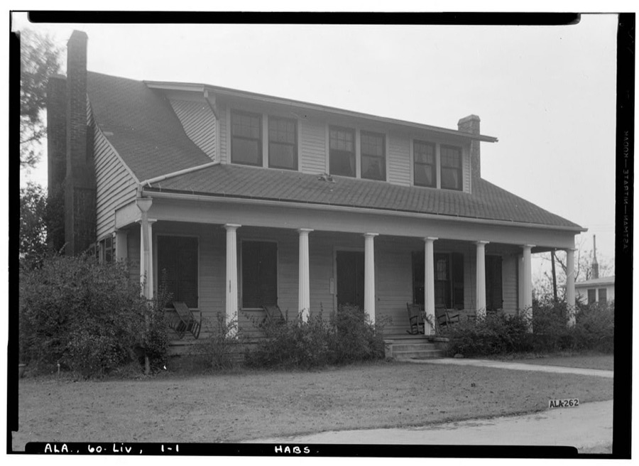
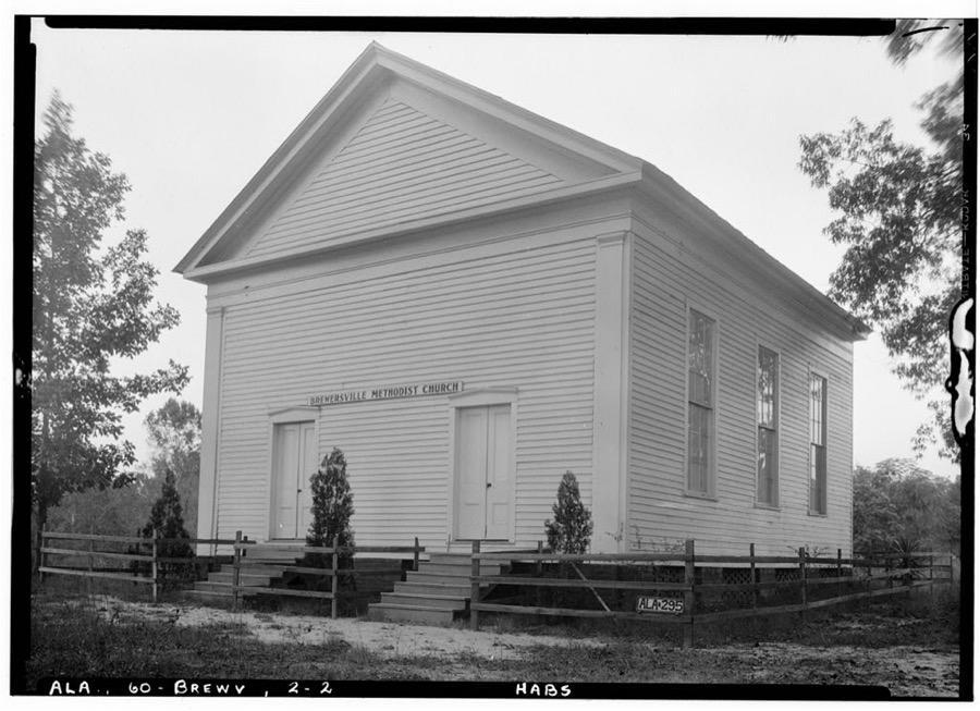
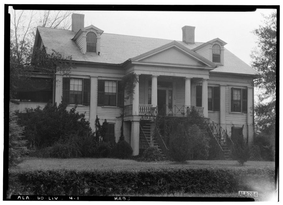
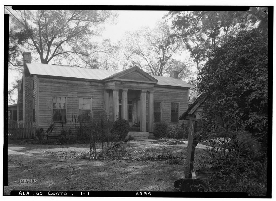
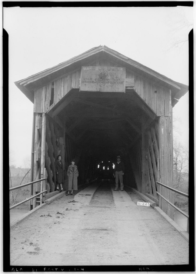
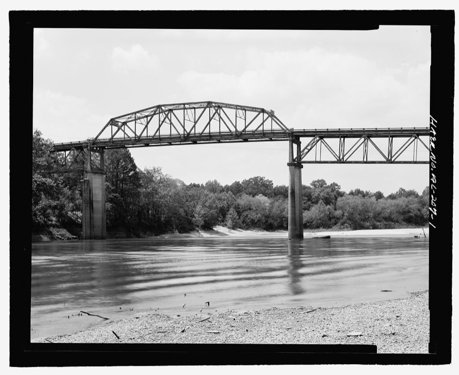
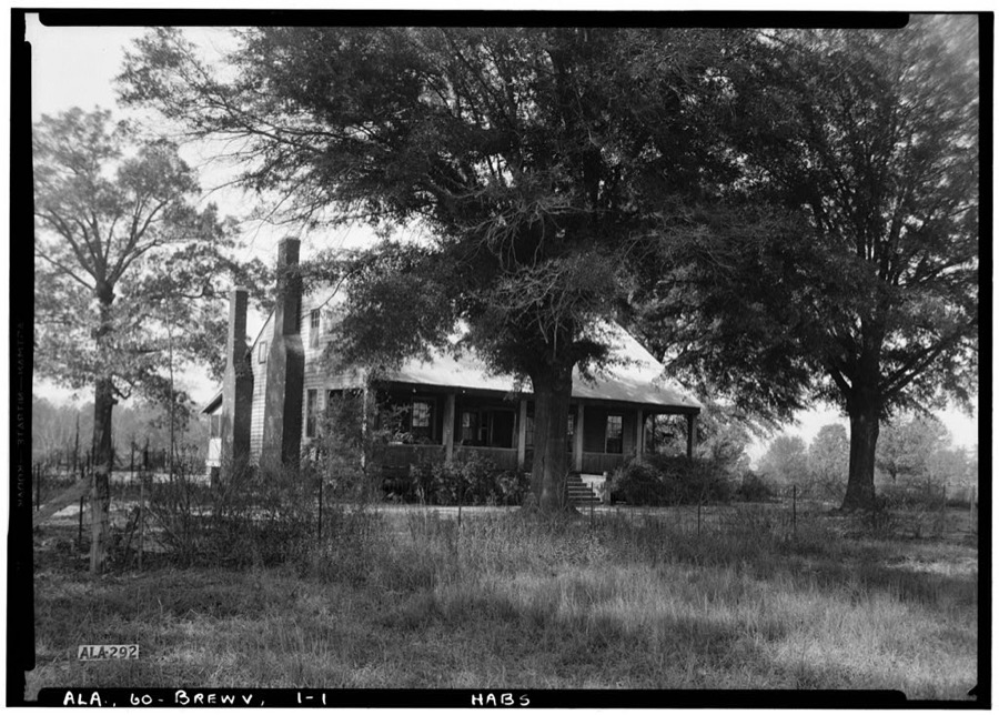
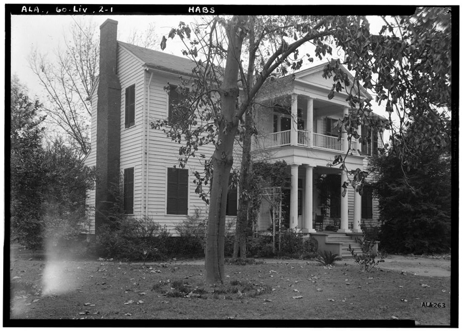
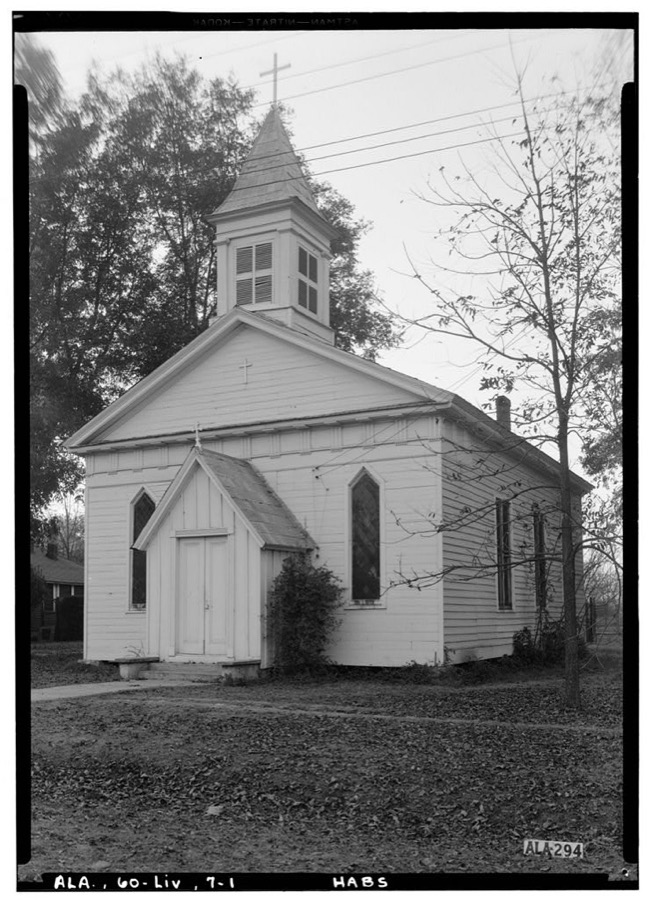

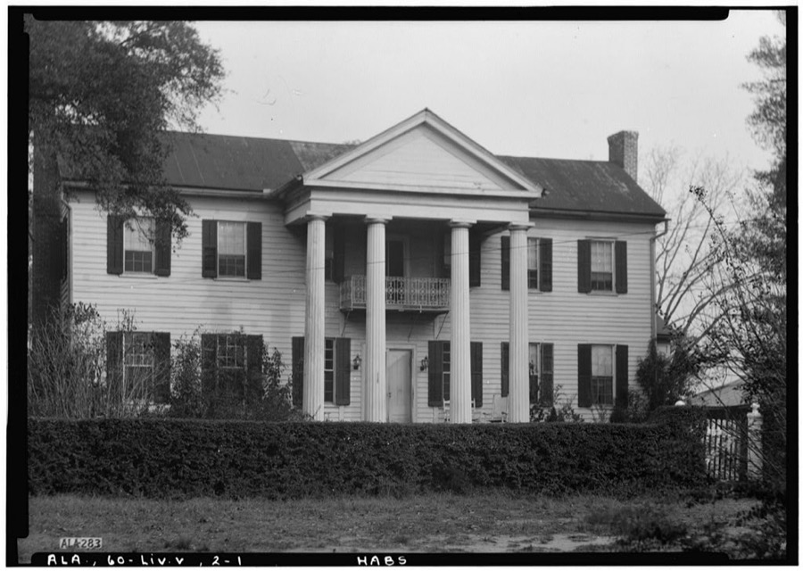
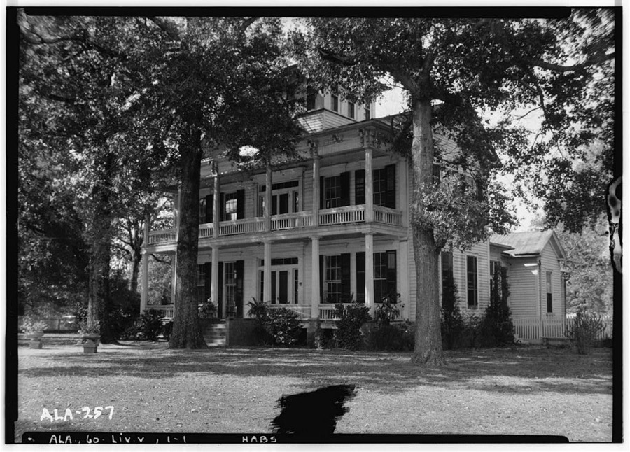
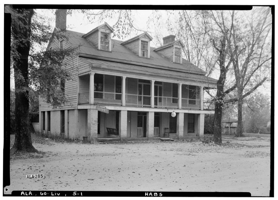
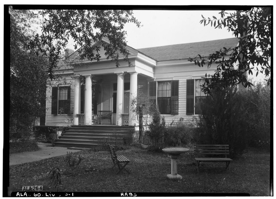
Every property in this county listed on the National Register of Historic Places, with the year it was listed and the federal nomination document.
| Photograph | Property | Type | Listed | Reference |
|---|---|---|---|---|
 | Dr. James Alvis Beavers House | building | 2000 | 00001025 |
 | Coffin Shop | building | 1985 | 85002930 |
| Colgin Hill | building | 1985 | 85002924 | |
| Federation of Southern Cooperatives Rural Training and Research Center | district | 2023 | 100009125 | |
 | Gainesville Historic District | district | 1985 | 85002925 |
 | Gibbs House | building | 1985 | 85002926 |
 | Main-Yankee Street Historic District | district | 1985 | 85002927 |
 | Col. Green G. Mobley House | building | 1982 | 82002070 |
 | Oakhurst | building | 1987 | 86003563 |
| Park and Bandstand | structure | 1985 | 85002929 | |
 | Sumter County Courthouse | building | 1972 | 72000180 |
 | Dr. H. B. Ward House | building | 1998 | 98001020 |
| Laura Watson House | building | 1985 | 85002928 |
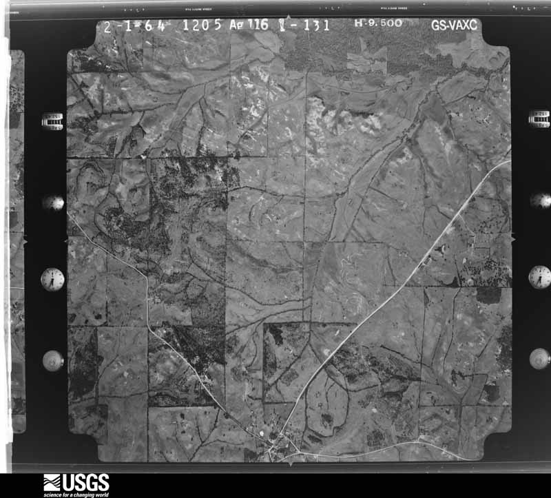
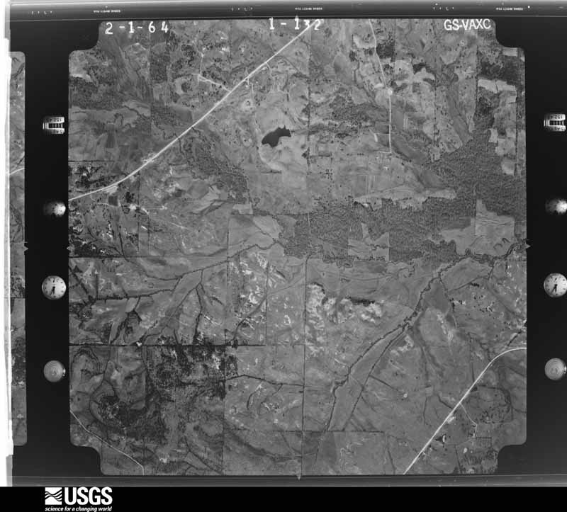
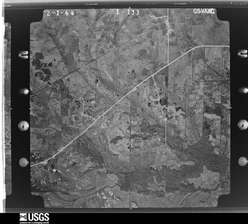
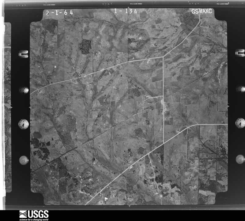
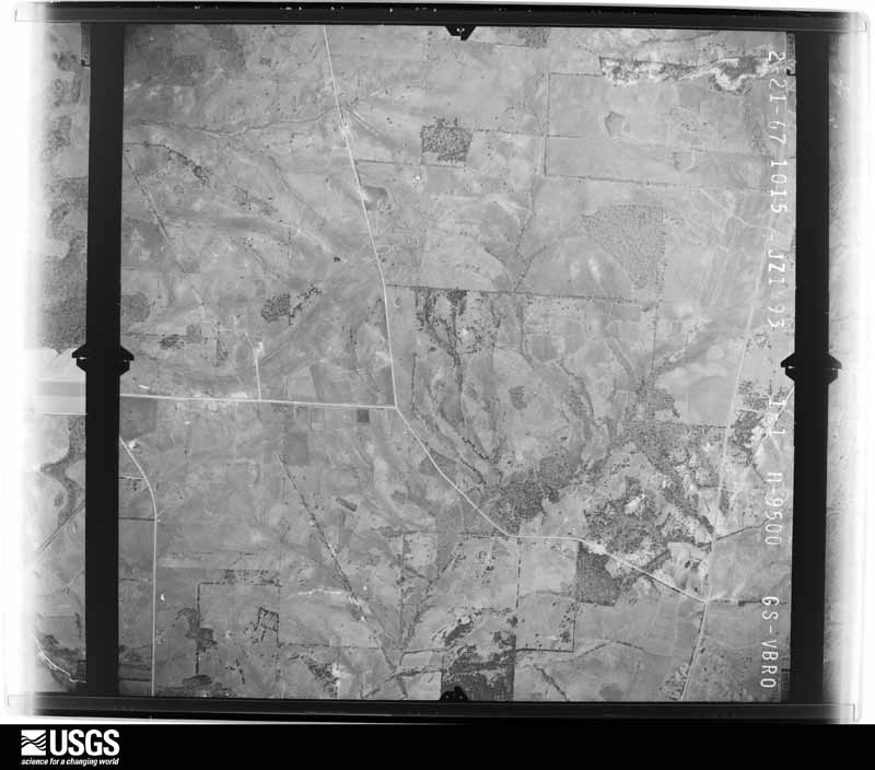
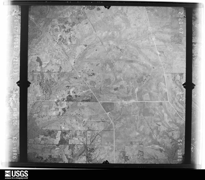
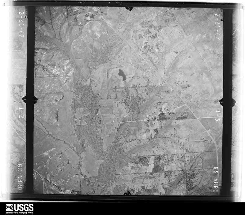
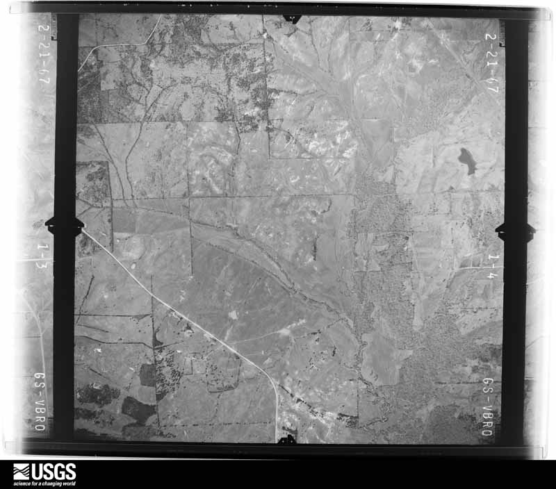
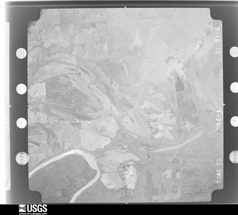
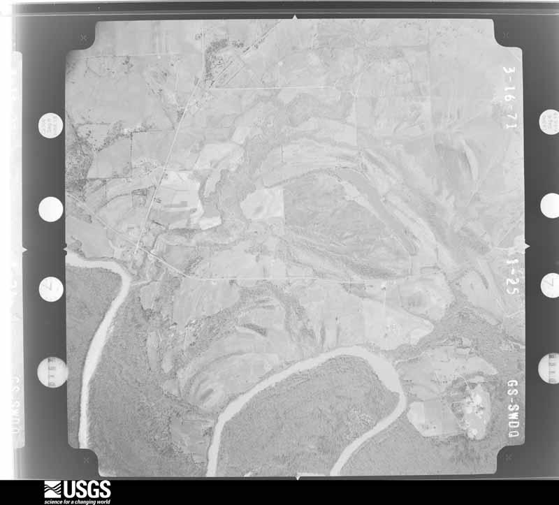
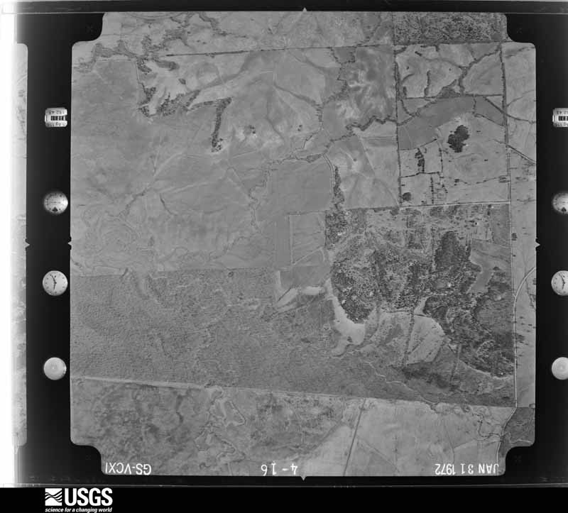
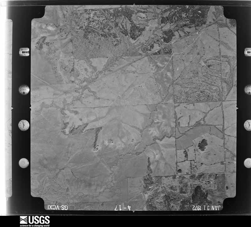
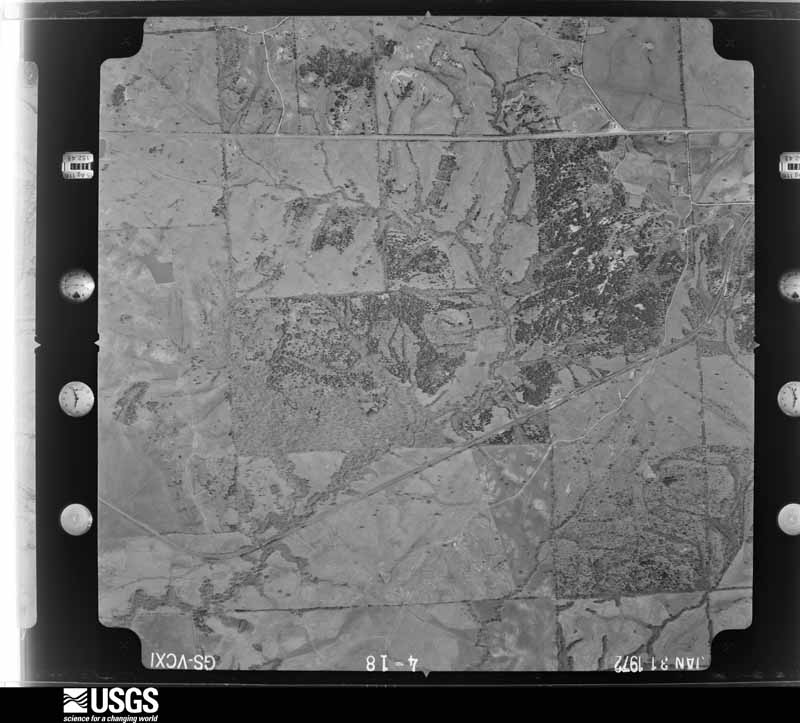
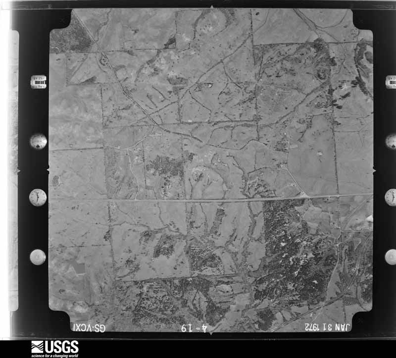
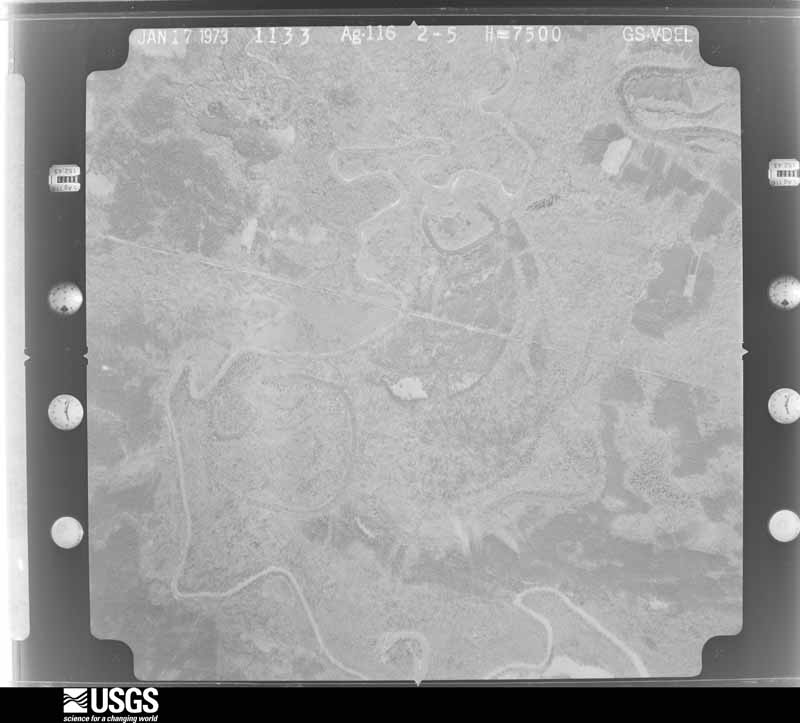
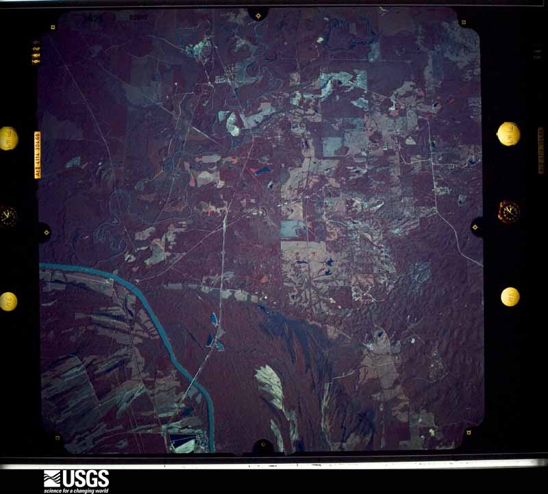
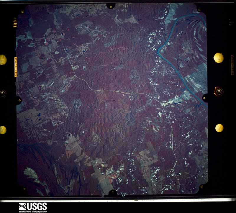
Flown by the U.S. Geological Survey between 1937 and 1989, the Aerial Photo Single Frames collection is the definitive mid-century view of the land: fields, roads and rivers as the camera saw them. The Survey holds 2,405 frames inside the rectangle that bounds this county; the 28 frames below were taken over the county itself, chosen across the decades of flights (at most four a year from that rectangle), so one flight cannot crowd out the rest. The full set is free to browse and download at EarthExplorer under the dataset Aerial Photo Single Frames.







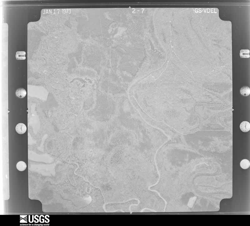
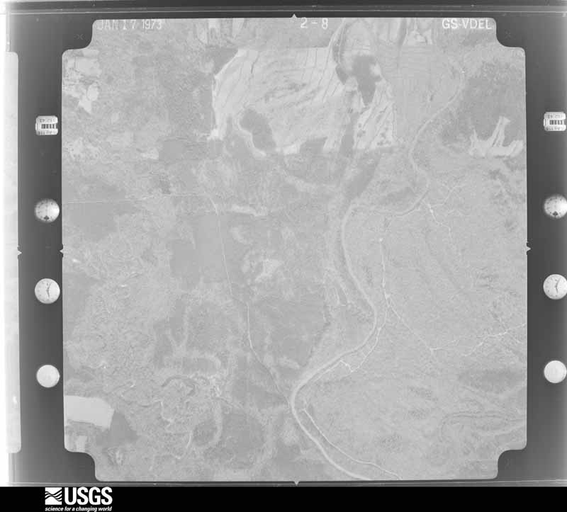
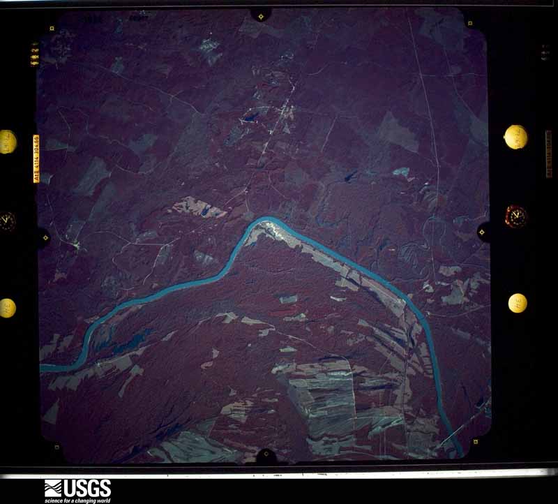
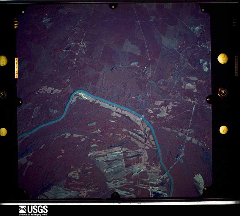
The thermometers that kept this county's weather, and the gages that measured the flow of its streams, as the federal records hold them. The extremes below are measured values from those records, not estimates.
Who lived here in 1950, one enumeration district at a time, as the Census Bureau described each district. Each row opens its official National Archives result, with Population Schedules and ED Maps available there.
Every wildfire the federal occurrence database records inside this county: 299 of them, burning about 5,074 acres. 16 started naturally and 12 were recorded as arson. Each settlement page carries the fires within five miles of it.
| Reported cause | Fires |
|---|---|
| Missing data/not specified/undetermined | 108 |
| Debris and open burning | 83 |
| Equipment and vehicle use | 24 |
| Recreation and ceremony | 17 |
| Natural | 16 |
| Railroad operations and maintenance | 15 |
| Smoking | 14 |
| Arson/incendiarism | 12 |
| Power generation/transmission/distribution | 5 |
| Misuse of fire by a minor | 4 |
| Other causes | 1 |
The five largest, by the area the report gives. One of them was set deliberately.
| Date | Cause | Size | Reported by | Name on the report |
|---|---|---|---|---|
| 21 May 2007 | Arson/incendiarism | 823 acres | Alabama Forestry Commission | WESTERVELT |
| 6 October 2019 | Natural | 365 acres | Alabama Forestry Commission | 20191006-4 |
| 22 July 2000 | Natural | 220 acres | Alabama Forestry Commission | not named |
| 17 August 2000 | Natural | 220 acres | Alabama Forestry Commission | not named |
| 18 September 2000 | Natural | 211 acres | Alabama Forestry Commission | not named |
| 28 November 2016 | Missing data/not specified/undetermined | 180 acres | Alabama Forestry Commission | 20161128-62 |
| 24 March 1996 | Recreation and ceremony | 180 acres | Alabama Forestry Commission | not named |
| 7 August 2000 | Natural | 120 acres | Alabama Forestry Commission | not named |
Every settlement page carries the fires within five miles of it - see the settlement index below.
The NOAA Storm Events Database holds 333 reports for this county, causing 2 deaths, 9 injuries and about $18,740,950 in recorded property damage. Each settlement page carries the reports that name it.
| Kind of event | Reports |
|---|---|
| Thunderstorm Wind | 166 |
| Hail | 115 |
| Tornado | 30 |
| Flash Flood | 18 |
| Lightning | 2 |
| Funnel Cloud | 1 |
| Heavy Rain | 1 |
The most serious of them, by death, then injury, then recorded damage. The accounts are quoted exactly as the forecast office filed them.
| When | Event | Place named | Harm | What the report says |
|---|---|---|---|---|
| April 2003 | Flash Flood | Countywide | 1 killed, $100,000 | Numerous roads were flooded across the county and closed for several hours. Water topped several bridges along Yellow Creek near Cuba. A 68 year old woman was killed as her car was swept off US 11 near Livingston. A few homes received minor flooding. |
| March 2004 | Heavy Rain | Bellamy | 1 killed | Heavy rain and winds of 25 to 30 miles an hour moved across the Bellamy area. One tree fell down due to the saturated ground and high wind around 8:53 PM CST. The tree landed on a 50 year old man. Rescue workers attempted to free the man, but after a few hours, the man died from his injuries. |
| April 2011 | Tornado (EF2) | Geiger | 2 hurt, $1,000,000 | A tornado touched down in Kemper County Mississippi (See Storm Data Jackson), near Scooba, and tracked northeast into Sumter County, Alabama at a point just north of Henley Rd, northwest of Geiger. The tornado continued as an EF2 rating as it entered Alabama, with winds of 130 mph. It knocked down trees along Mt Tabor Rd and AL Hwy 17. The tornado caused extensive tree damage along CR 34, near Panola, where it knocked down an entire section of pine forest. The average path width in Sumter County is 0.5 mile (880yds). The tornado continued northeast across north Sumter County and moved into southern Pickens County just west of CR 85. |
| March 1976 | Tornado (F1) | not stated | 2 hurt, $25,000 | no account filed |
| November 1986 | Thunderstorm Wind | not stated | 2 hurt | no account filed |
| November 2011 | Tornado (EF2) | Persimmon Grove | 1 hurt, $200,000 | A tornado touched down in Whitfield and moved to the northeast. Along its path, approximately 150 softwood trees were snapped, 50 hardwood trees were uprooted, and five outbuildings were damaged. Six homes and one double wide mobile home were also damaged. One home along County Road 42 was destroyed causing 1 injury. |
| January 2023 | Tornado (EF2) | Emelle | 1 hurt | National Weather Service meteorologists surveyed damage in northern Sumter County and determined that it was consistent with an EF2 tornado, with maximum winds near 120 mph. This tornado began near Sumter Road 24 uprooting trees. The tornado continued east-northeast along Sumter 24 where it destroyed a grain bin near Ramsey Lane along with snapping and uprooting a few more softwood trees. The tornado moved through the town of Emelle where it caused damage to several roofs in the community, along with uprooting and snapping numerous trees. The tornado crossed Highway 74 and took the roof off of a home and destroyed an outbuilding near the intersection of Highway 74 and Sunlight Church Road. The tornado crossed Highway 39 and destroyed a mobile home on Hodges Place Road. The tornado lifted just east of Sumter 21, uprooting and snapping a few more trees along the way. |
| April 2017 | Thunderstorm Wind | Siloam | 1 hurt | Tree fell onto vehicle causing injury to driver. |
| April 2011 | Tornado (EF3) | Geiger | $6,880,000 | A tornado touched down in Neshoba County Mississippi. It tracked northeastward through Kemper County Mississippi before it crossed the Mississippi, Alabama state line approximately 1.5 miles north of Sumter County Road 30. As it entered Alabama, the tornado was an EF-3 with winds estimated between 140-150 mph. In Sumter County, numerous homes and businesses in the town of Geiger sustained extensive damage. As the tornado continued to move east, thousands of trees were either snapped or uprooted. The tornado lifted near the Tombigbee River at the Sumter, Greene County line. |
| April 2011 | Tornado (EF2) | Cuba | $3,910,000 | A tornado touched down in Sumter County, near US Highway 80, where several trees were snapped. The tornado strengthened to an EF-2 rating, with maximum wind speeds of 115 mph and continued to move northeast as it crossed Alabama Highway 17, where two homes sustained significant damage, and two outbuildings were completely destroyed. The tornado lifted near County Road 17, about 7 miles south of Livingston. |
| November 1992 | Tornado (F2) | not stated | $2,500,000 | no account filed |
| April 2011 | Tornado (EF2) | Bodka | $2,070,000 | A tornado touched down in Sumter County along Dan Mitchell Road, south of State Route 116, six miles west southwest of Gainesville. As the tornado moved east, the tornado strengthened to an EF-2 rating, with maximum sustained winds of 115 mph. Dozens of hardwood trees were either snapped or uprooted and several homes sustained damage. One home sustained major roof damage along the path. The tornado lifted a half a mile west of State Route 39, one mile south of Gainesville. |
| April 1994 | Tornado (F1) | Geiger to Gainesville | $500,000 | A tornado touched down in the area just south of Geiger and moved on a generally eastward path parallelling State Highway 116 to the area just west of Gainesville. Power lines were downed, one building was destroyed and another heavily damaged, trees were snapped and uprooted, and a mobile home was damaged. |
| April 2011 | Tornado (EF2) | Persimmon Grove | $268,000 | A tornado touched down in Smith County, Mississippi and tracked through Jasper and Clarke Counties (See Storm Data Jackson), causing EF4 rated damage. The tornado then crossed into Choctaw County (See Storm Data Mobile) Alabama, causing EF3 rated damage. The tornado tracked across portions of Sumter, Marengo and western Perry Counties, before dissipating. The tornado crossed into far southeastern Sumter County near CR 42, southeast of Whitfield, as an EF2 with winds of 120 mph. The tornado tracked south of Lock 3 Rd, where it caused significant tree damage. The tornado crossed the Tombigbee River and moved into Marengo County. |
| December 1983 | Tornado (F1) | not stated | $250,000 | no account filed |
| March 1973 | Tornado (F1) | not stated | $250,000 | no account filed |
| April 2010 | Thunderstorm Wind | Cuba | $100,000 | A swath of wind damage cut across the southern half of Sumter County, from west of the Ward community, east-northeastward to south of Bellamy. Dozens of trees were snapped and uprooted, many of them blocking roads. One home near CR-10 southeast of Ward received minor roof damage. The driver of a vehicle became trapped by fallen trees near AL-17. |
| February 2004 | Flash Flood | Countywide | $60,000 | no account filed |
| March 1996 | Thunderstorm Wind | York | $45,000 | no account filed |
| April 1996 | Thunderstorm Wind | Livingston | $40,000 | no account filed |
| January 1998 | Flash Flood | Countywide | $30,000 | no account filed |
| April 2003 | Flash Flood | Countywide | $25,000 | Numerous roads were flooded across the county. |
| December 1967 | Tornado (F3) | not stated | $25,000 | no account filed |
| December 1961 | Tornado (F2) | not stated | $25,000 | no account filed |
| September 2005 | Tornado (F0) | Coatopa | $22,000 | A weak tornado affected areas in and near the Coatopa community. The tornado touched down near the intersection of State Highway 28 and County Road 23, southeast of Livingston, at approximately 942 PM CDT. The tornado tracked northeastward and crossed Mundy Road in several spots. The tornado lifted near the intersection of Mundy Road and County Road 23 around 946 PM CDT. Several trees were blown down, snapped off, or twisted along the path. Near the end of the tornado path, some of the downed trees caused damage to vehicles and a house trailer. Two small barns also had their roofs partially damaged. The tornado damage path was 2.8 miles long and 50 yards wide at its widest point. This tornado was produced by the remnants of Hurricane Rita.Begin: 32 29.13/88 04.27 End: 32 30.39/88 01.74 |
| April 2003 | Thunderstorm Wind | Countywide | $20,000 | Numerous trees were blown down across the southern part of the county around Cuba. |
| July 2000 | Thunderstorm Wind | Livingston | $20,000 | A tree was blown down onto a home in York. |
| May 2003 | Thunderstorm Wind | York | $19,000 | A few trees were blown down in York. One tree landed on a home causing damage. No injuries were reported. |
| September 1996 | Thunderstorm Wind | Epes | $15,000 | no account filed |
| April 2003 | Hail | Cuba | $13,000 | A rotating thunderstorm, known as a supercell, produced penny to golf ball size hail all the way across Sumter and Greene Counties. Several trees were also blown down just northwest of Livingston along CR 12. National Weather Service Doppler radar estimated 1.5 to 2.5 inches of rain across Sumter County. This rain produced some minor urban flooding in the city of Livingston. |
| July 2005 | Thunderstorm Wind | Livingston | $11,000 | Numerous trees were blown down on State Highway 28 and County Road 22. |
| May 2009 | Flash Flood | Epes | $10,000 | The intersection of CR-20 and AL-39 was washed out due to heavy rainfall. |
| September 2009 | Flash Flood | Panola | $10,000 | Water was running over the roadway near the intersection of AL-17 and Panola Parkway. A home in the Geiger community was flooded. |
| April 2008 | Thunderstorm Wind | Livingston | $10,000 | Numerous trees and power lines were blown down in the Livingston area, and several other nearby locations. Two vehicles were damaged on CR 13. An AMTRACK train was unable to proceed, as several trees were blocking the railroad track. |
| June 2006 | Lightning | Epes | $10,000 | A vehicle was struck by lightning while traveling near mile marker 21 on Interstate 20/59. Although the vehicle was completely disabled by the strike, the occupants were not harmed. |
| June 2003 | Thunderstorm Wind | Cuba | $10,000 | Two large trees were blown down. One tree fell on a home causing minor damage. The other tree fell on some power lines. |
| June 1998 | Thunderstorm Wind | Cuba | $10,000 | no account filed |
| April 1996 | Hail | York | $10,000 | no account filed |
| March 1996 | Thunderstorm Wind | Geiger | $10,000 | no account filed |
| March 1996 | Hail | Cuba | $10,000 | no account filed |
| March 2005 | Thunderstorm Wind | York | $8,000 | Several trees were blown down from near York to near Livingston. |
| July 2010 | Thunderstorm Wind | Mc Cainville | $7,000 | Trees down near the intersection of Highways 28 and 80, on Magnolia Street and along County Road 74 near Highway 28. |
| March 2005 | Lightning | Bellamy | $7,000 | Cloud to ground lightning was responsible for a wildfire near US 80 in eastern Sumter County. |
| July 2003 | Thunderstorm Wind | York | $7,000 | A few trees were blown down in and around York. At least one of the trees temporarily blocked a roadway. |
| April 2005 | Flash Flood | Countywide | $7,000 | no account filed |
| April 2011 | Thunderstorm Wind | Soctum Hill | $5,000 | Trees were reported down across several roads in southern Sumter County, including County Road 52, County Road 10, and County Road 27. |
| February 2008 | Thunderstorm Wind | York Mallard Arpt | $5,000 | Several trees and powerlines were blown down on Sumter Academy Road, between York and Livingston. |
| February 2008 | Thunderstorm Wind | Cuba | $5,000 | Several trees were blown down onto power lines along Pretty Branch Road, in Cuba. |
| March 2007 | Thunderstorm Wind | Sumterville | $5,000 | A few trees were blown down. |
| May 2005 | Hail | Cuba | $5,000 | Golf ball size hail was observed along Interstate 20 near the Alabama Welcome Center and Exit 1. |
| July 2004 | Flash Flood | York | $5,000 | Water was reported over several roads in the town of York. A few of the roads were temporarilyimpassable. |
| June 2004 | Flash Flood | Countywide | $5,000 | Water was reported across Interstate 20 near mile marker 5 and across CR 2. The roads were temporarily impassable. |
| March 2003 | Thunderstorm Wind | Livingston | $5,000 | Several trees and power lines were blown down in and around Livingston. |
| February 2001 | Thunderstorm Wind | Countywide | $5,000 | Sumter County reported only a few trees knocked down countywide. |
| May 1999 | Hail | Cuba | $5,000 | Golfball size hail fell in Cuba. |
| April 1999 | Thunderstorm Wind | Panola | $5,000 | The roof was blown off a trailer in Panola. |
| April 1997 | Thunderstorm Wind | York | $5,000 | Several trees were blown down on Highway 19 near the state line. |
| May 1995 | Thunderstorm Wind | York | $5,000 | Trees were reported blown down in Livingston and York. |
| February 2004 | Flash Flood | Countywide | $5,000 | no account filed |
| February 2004 | Flash Flood | Countywide | $5,000 | no account filed |
The Survey's mineral resources record lists 12 workings inside this county. 11 still produce and 1 is closed or unrecorded. Each settlement page carries the workings within five miles of it.
| Commodity | Workings |
|---|---|
| Sand and Gravel, Construction | 8 |
| Bloating Material | 1 |
| Silica, Sand and Gravel, Construction | 1 |
| Stone, Crushed/Broken | 1 |
| Calcium | 1 |
The least common of them first, because a county's hundredth gravel pit says nothing its first ten did not.
| Where | Site | Commodity | Status | Recorded |
|---|---|---|---|---|
| Epes Lime Pit | Calcium | Producer | ||
| Livingston | Bloating Material | Producer | Sedimentary | |
| Livingston Pit | Stone, Crushed/Broken | Producer | ||
| Swilley's Bend Quarry | Silica, Sand and Gravel, Construction | Producer | Quartz | |
| Banks Pit | Sand and Gravel, Construction | Producer | ||
| Halsell Pit | Sand and Gravel, Construction | Producer | ||
| Johnston Pit | Sand and Gravel, Construction | Past Producer | ||
| Pit #1 | Sand and Gravel, Construction | Producer | ||
| Pit Number 1 | Sand and Gravel, Construction | Producer | Quartz | |
| Russell Pit | Sand and Gravel, Construction | Producer | ||
| Sumter County Pit No. 1 | Sand and Gravel, Construction | Producer | ||
| Swilleys Bend Pit | Sand and Gravel, Construction | Producer |
Named settlements recorded in the Geographic Names Information System, each with the topographic sheets covering it. Villages, hamlets and abandoned places alike. Each is shown with the nearest named watercourse or landform and the survey quadrangle it falls on. The 3 places that were also surveyed for fire insurance come first, with the number of atlases and photographs held for them.
Gainesville census division · 35464 · On Folsum Branch · Gainesville quadrangle
8 sheets, 1953 to 1984
Fire insurance: 5 atlases
Livingston census division · 35470 · On Potts Creek · Livingston quadrangle
13 sheets, 1929 to 1984
Fire insurance: 6 atlases
York census division · 36925 · On Toomsuba Creek · York quadrangle
8 sheets, 1953 to 1984
Fire insurance: 2 atlases
Livingston census division · 35470 · Coatopa quadrangle
11 sheets, 1953 to 1984
No longer a settlement
Belmont census division · 35470 · On Bottom Creek · McDowell quadrangle
13 sheets, 1948 to 1990
Gainesville census division · 35459 · Emelle quadrangle
8 sheets, 1953 to 1984
No longer a settlement
Belmont census division · 35470 · On Horns Branch · Brewersville quadrangle
13 sheets, 1929 to 1984
Belmont census division · 35470 · On Coatopa Creek · Coatopa quadrangle
11 sheets, 1953 to 1984
Belmont census division · 35470 · On Benny Branch · Brewersville quadrangle
13 sheets, 1929 to 1984
Livingston census division · 35460 · By Jones Bluff · Epes West quadrangle
13 sheets, 1929 to 1984
Belmont census division · 35470 · On Hall Creek · McDowell quadrangle
13 sheets, 1948 to 1990
Livingston census division · 36925 · On Hannah Branch · Livingston quadrangle
13 sheets, 1929 to 1984
Livingston census division · 35470 · On Fourth Creek · Bellamy quadrangle
9 sheets, 1953 to 1984
Livingston census division · 35470 · On Cockerell Branch · Epes West quadrangle
13 sheets, 1929 to 1984
Belmont census division · 35470 · On Hall Creek · McDowell quadrangle
13 sheets, 1948 to 1990
Livingston census division · 35470 · By Buzzard Roost Bluff · Brewersville quadrangle
13 sheets, 1929 to 1984
Livingston census division · 35470 · On Tubby Creek · Boyd quadrangle
8 sheets, 1953 to 1984
Livingston census division · 35459 · On Looksookolo Creek · Emelle quadrangle
8 sheets, 1953 to 1984
York census division · 36925 · By Black Bluff · Whitfield quadrangle
8 sheets, 1953 to 1984
No longer a settlement
Panola-Geiger census division · 35442 · On Fenache Creek · Warsaw quadrangle
8 sheets, 1953 to 1984
York census division · 36925 · Near Alamuchee Hill · York quadrangle
8 sheets, 1953 to 1984
Belmont census division · 35470 · On Rider Branch · Brewersville quadrangle
13 sheets, 1929 to 1984
The vanished settlements of Sumter County: the places named above that are no longer on the map.
13 topographic sheets and 6 fire insurance atlases, 1894 to 1934
8 topographic sheets and 5 fire insurance atlases, 1884 to 1925
The complete index, with nothing left out. Each of these is a separate record with its own page: a federal survey report, or the case file that argued a property on to the National Register. Both are public domain and reproduced word for word.
The vanished settlements of Sumter County, the places these records name that are no longer on the map.