 Block
From the record
2 National Register listings published here.
Sources: the National Register database, National Park Service
65 topographic sheets cover 57 settlements here, and 2 properties are on the National Register of Historic Places.
2 National Register listings published here.
Sources: the National Register database, National Park Service
Taken for the Office of War Information and the Farm Security Administration, who photographed the country between 1935 and 1944. Works of United States government photographers, with no known restriction on use. Each opens its catalogue record.

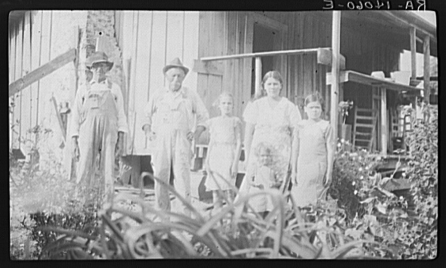
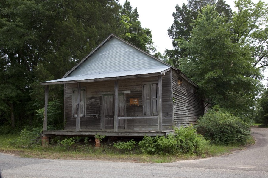

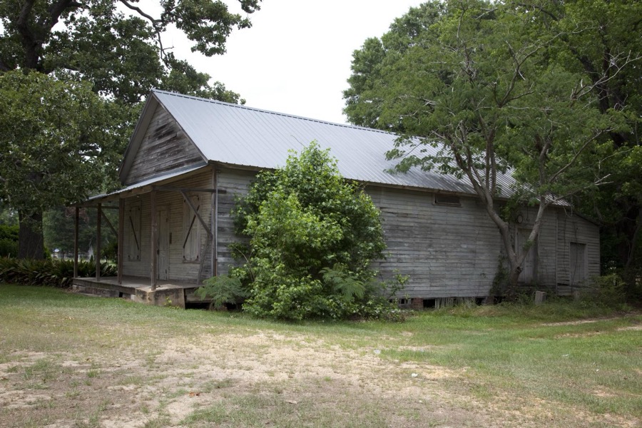
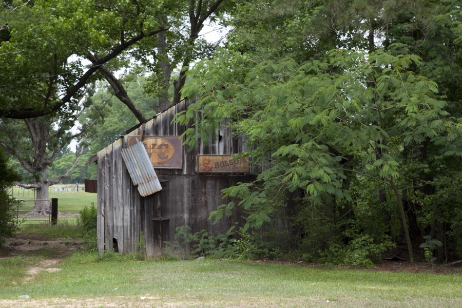
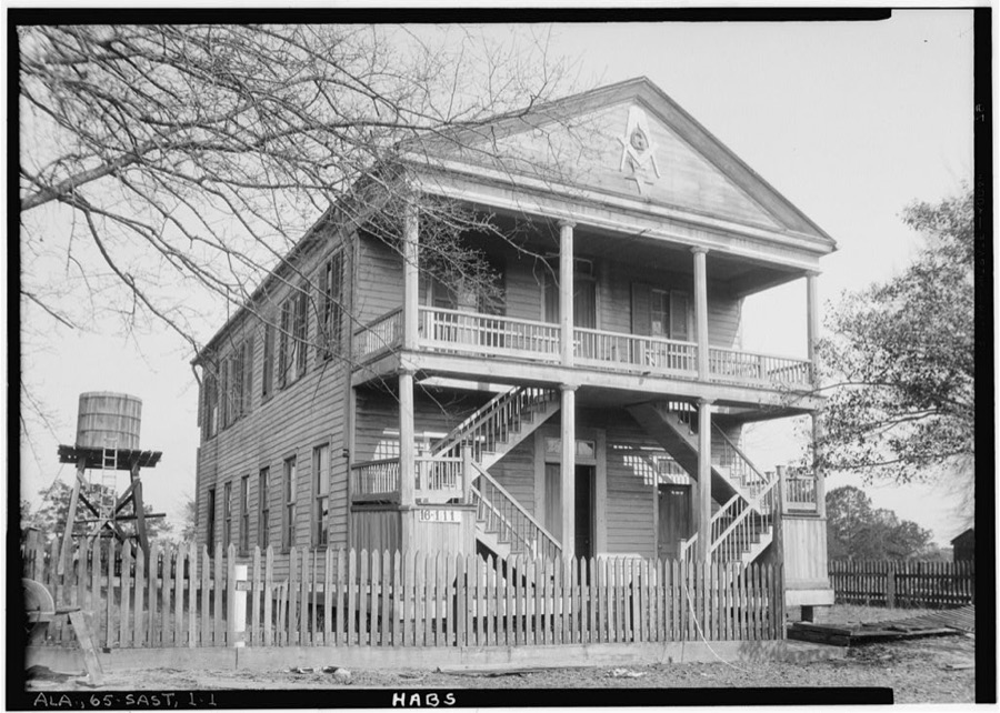
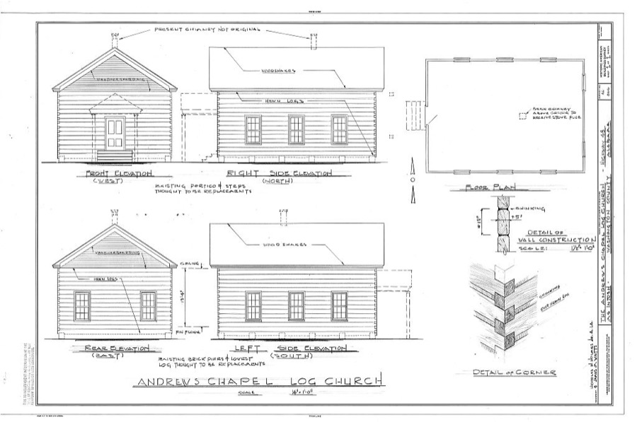
Every property in this county listed on the National Register of Historic Places, with the year it was listed and the federal nomination document.
| Photograph | Property | Type | Listed | Reference |
|---|---|---|---|---|
 | McIntosh Log Church | building | 1974 | 74000439 |
 | Washington County Courthouse | building | 1997 | 97000655 |
Selected from the Digital Public Library of America's 1 image records catalogued for this county. Every one shown here carries a public-domain status or a licence that permits reuse on a site that carries advertising; non-commercial, share-alike and restricted images are excluded. The selection is spread across the county's towns (at most eight per town), so no single institution's bulk upload crowds out the rest. Each opens the holding library's record, and the complete set at the Digital Public Library of America is one click away.

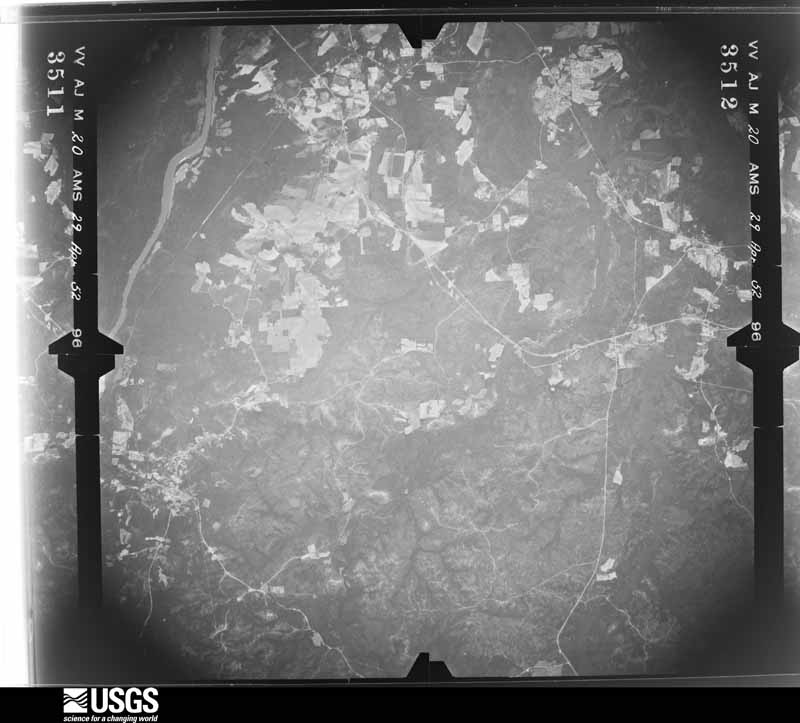
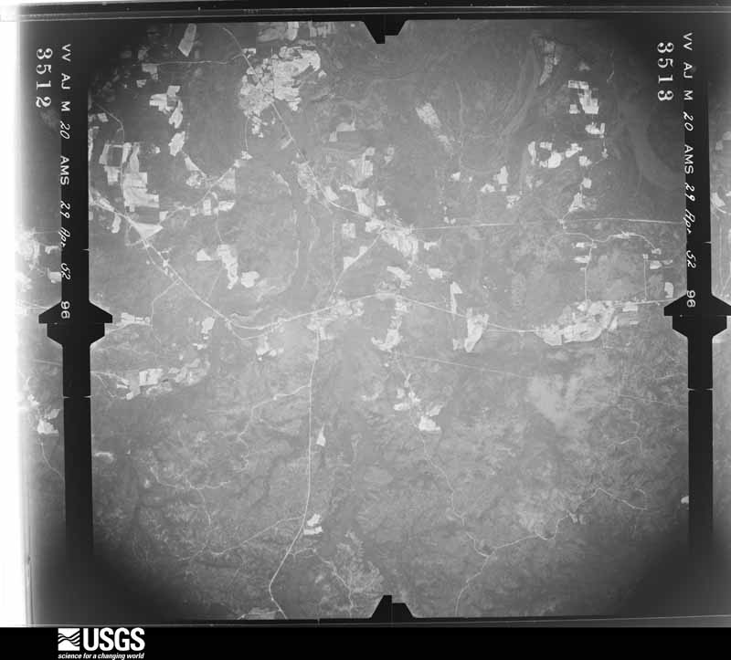
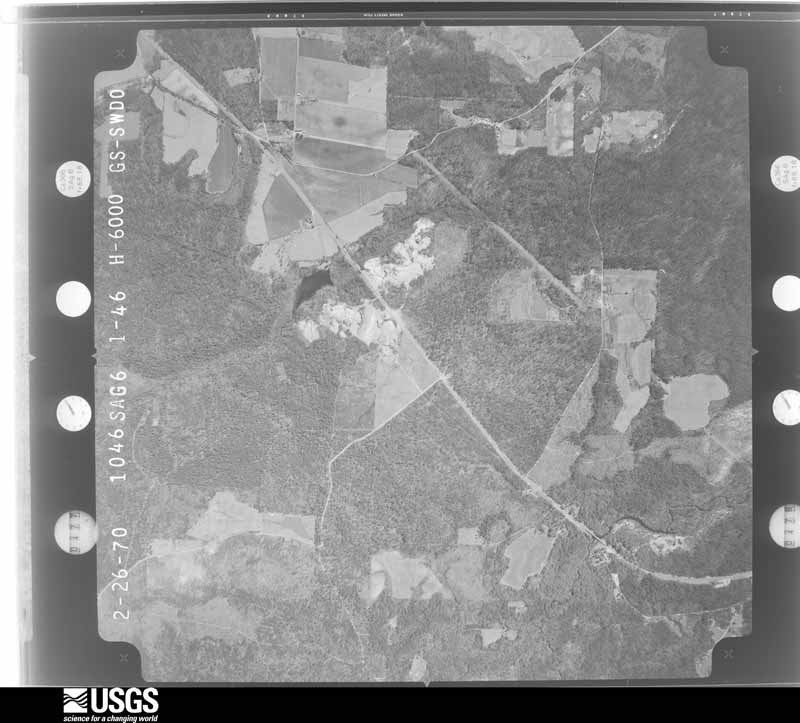
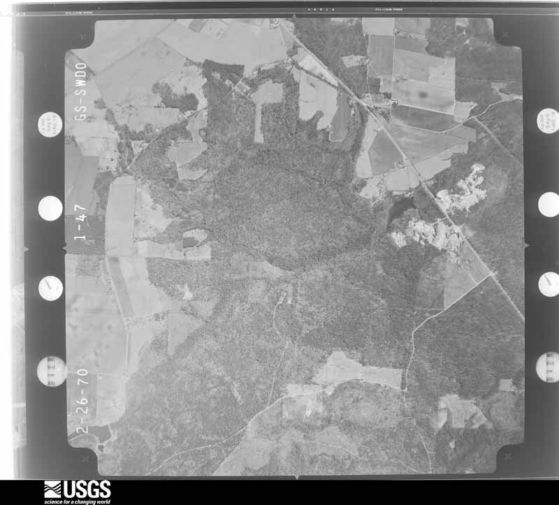
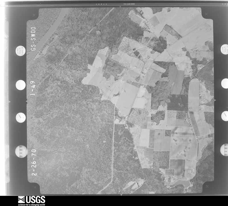
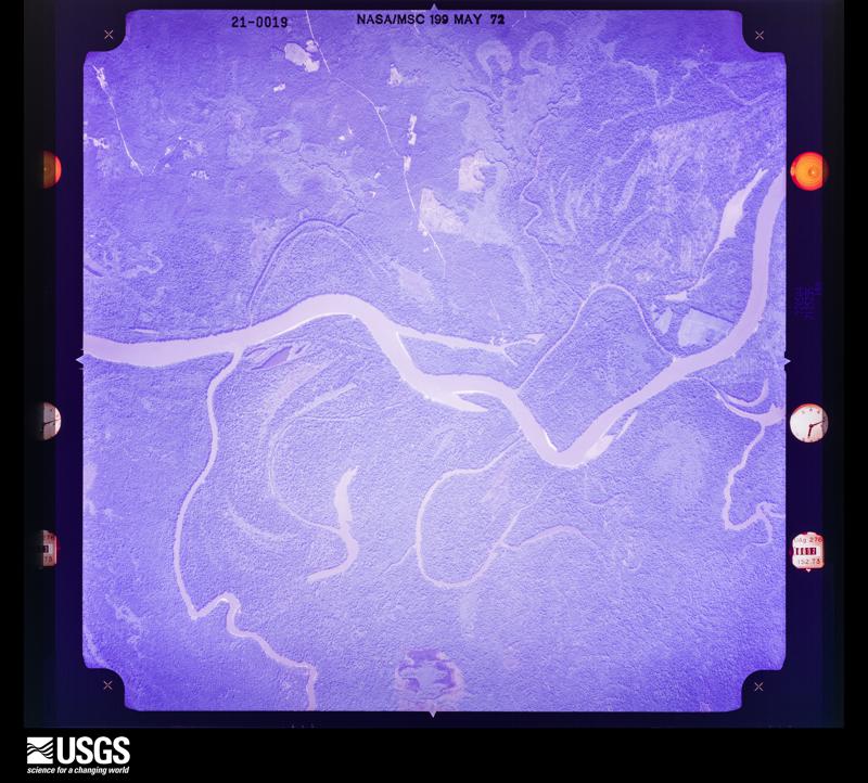
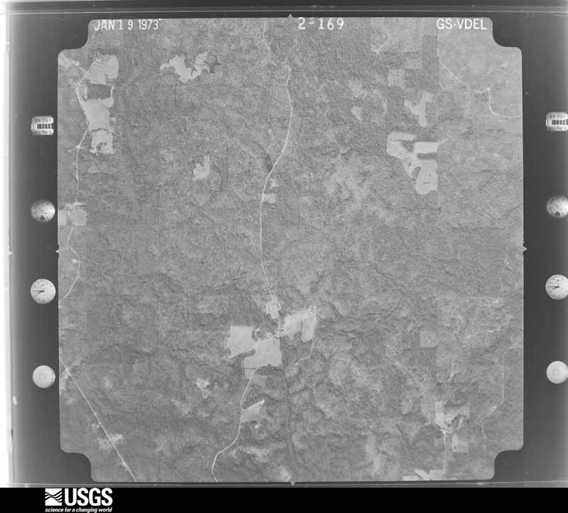
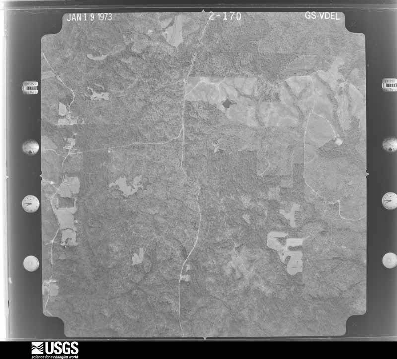
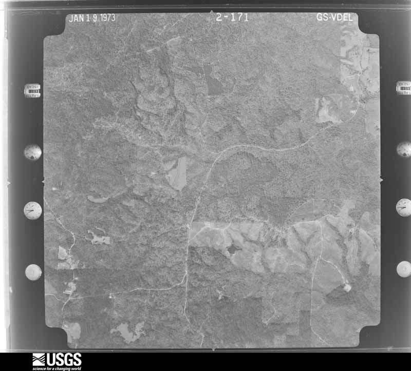
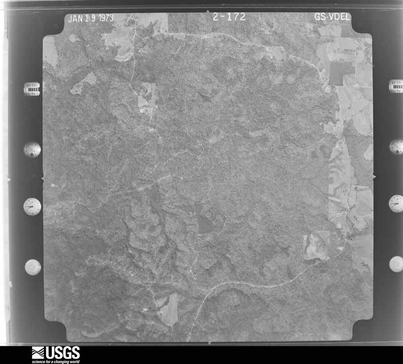
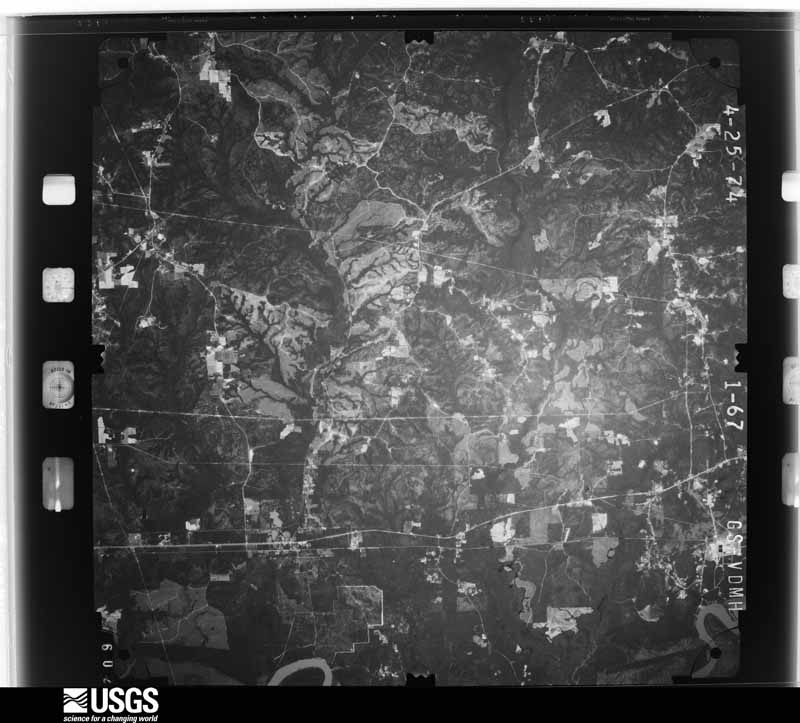
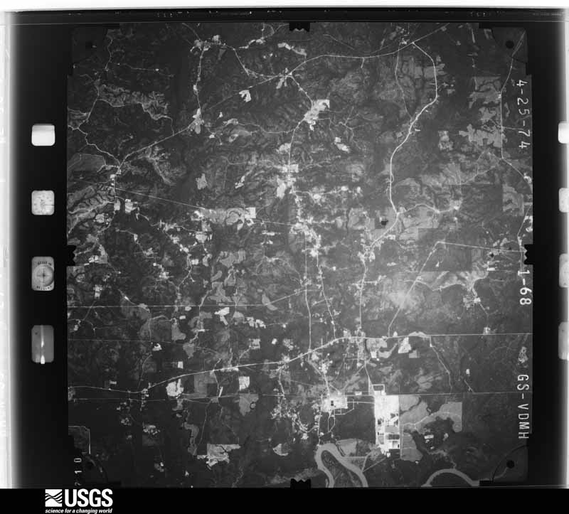
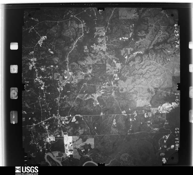
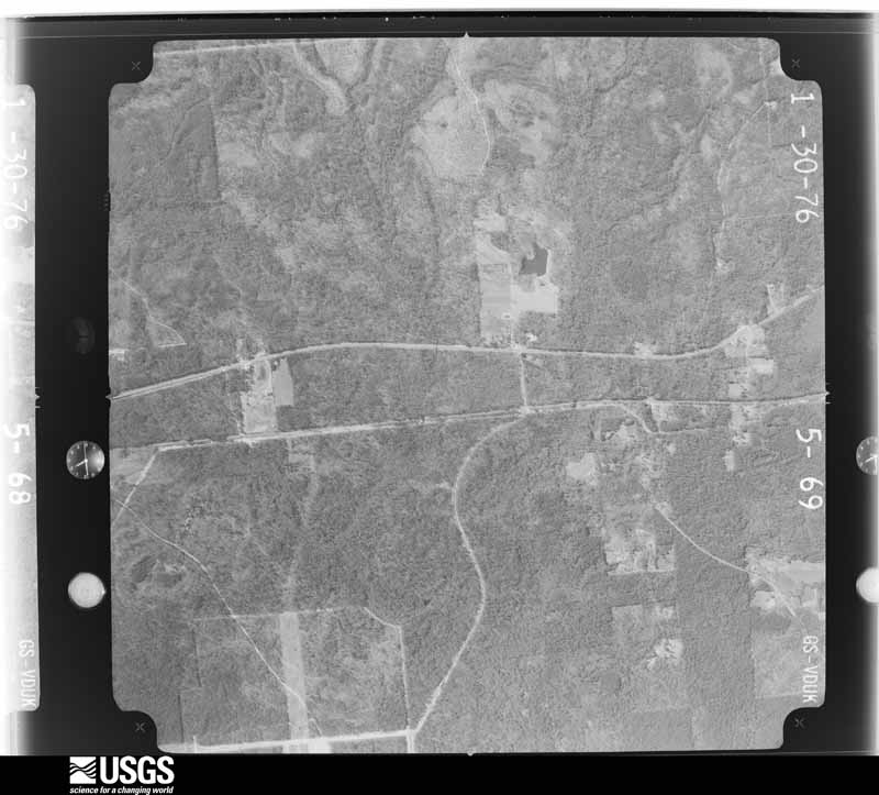
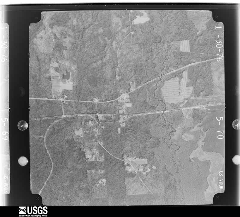
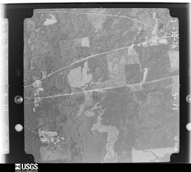
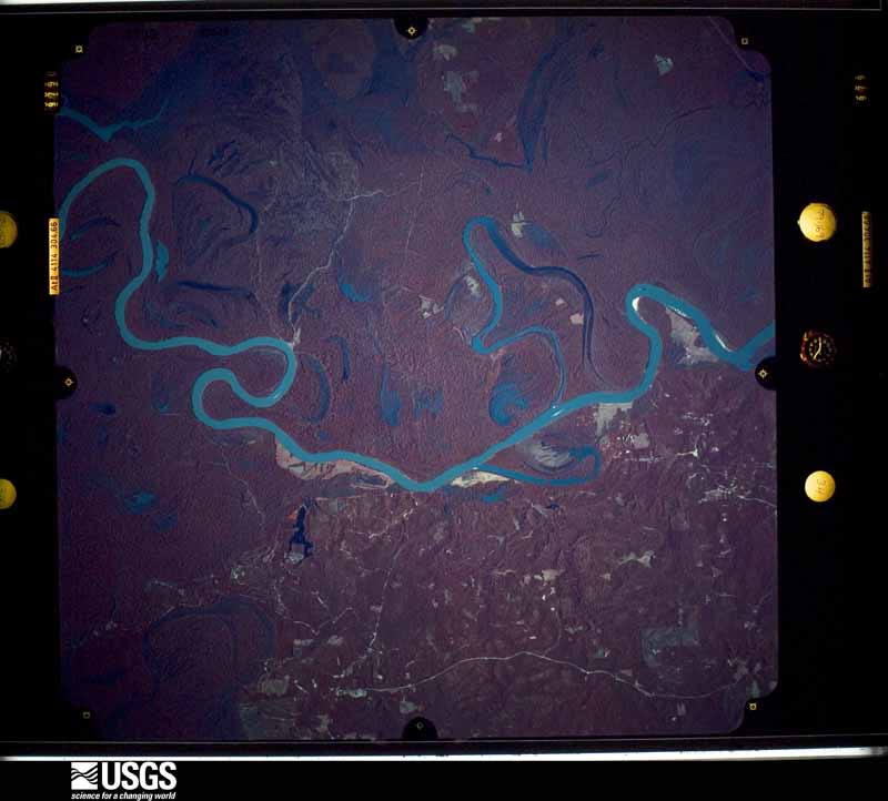
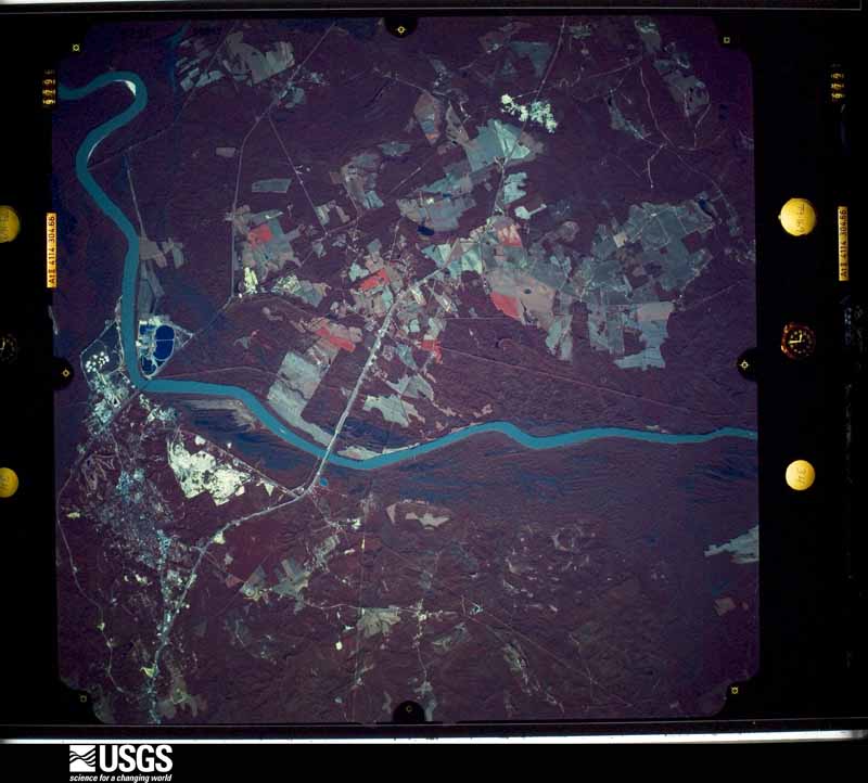
Flown by the U.S. Geological Survey between 1937 and 1989, the Aerial Photo Single Frames collection is the definitive mid-century view of the land: fields, roads and rivers as the camera saw them. The Survey holds 1,589 frames inside the rectangle that bounds this county; the 30 frames below were taken over the county itself, chosen across the decades of flights (at most four a year from that rectangle), so one flight cannot crowd out the rest. The full set is free to browse and download at EarthExplorer under the dataset Aerial Photo Single Frames.






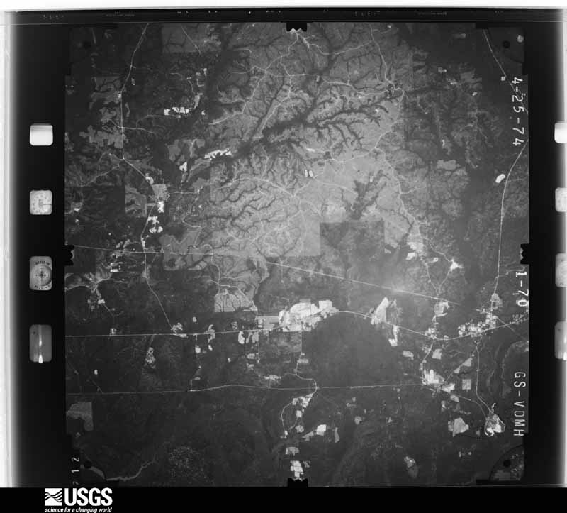
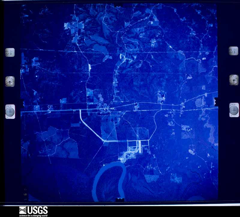
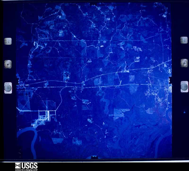


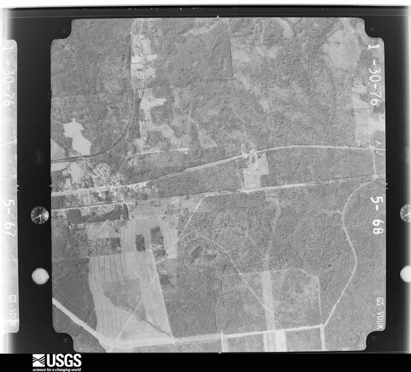
The thermometers that kept this county's weather, and the gages that measured the flow of its streams, as the federal records hold them. The extremes below are measured values from those records, not estimates.
Who lived here in 1950, one enumeration district at a time, as the Census Bureau described each district. Each row opens its official National Archives result, with Population Schedules and ED Maps available there.
Every wildfire the federal occurrence database records inside this county: 2,190 of them, burning about 46,524 acres. 26 started naturally and 828 were recorded as arson. Each settlement page carries the fires within five miles of it.
| Reported cause | Fires |
|---|---|
| Arson/incendiarism | 828 |
| Debris and open burning | 611 |
| Missing data/not specified/undetermined | 530 |
| Recreation and ceremony | 98 |
| Equipment and vehicle use | 44 |
| Smoking | 30 |
| Natural | 26 |
| Misuse of fire by a minor | 10 |
| Railroad operations and maintenance | 9 |
| Power generation/transmission/distribution | 3 |
| Other causes | 1 |
The five largest, by the area the report gives. Four of them were set deliberately.
| Date | Cause | Size | Reported by | Name on the report |
|---|---|---|---|---|
| 15 March 1994 | Debris and open burning | 1,280 acres | Alabama Forestry Commission | not named |
| 14 May 2000 | Arson/incendiarism | 1,100 acres | Alabama Forestry Commission | CALVERT SWAMP |
| 19 February 2005 | Arson/incendiarism | 738 acres | Alabama Forestry Commission | not named |
| 29 March 2015 | Missing data/not specified/undetermined | 540 acres | Alabama Forestry Commission | SWR-20150329-002 |
| 6 March 1994 | Debris and open burning | 500 acres | Alabama Forestry Commission | not named |
| 14 April 2006 | Arson/incendiarism | 404 acres | Alabama Forestry Commission | MACINTOSH |
| 29 August 2000 | Natural | 400 acres | Alabama Forestry Commission | not named |
| 13 March 2005 | Arson/incendiarism | 370 acres | Alabama Forestry Commission | not named |
Every settlement page carries the fires within five miles of it - see the settlement index below.
The NOAA Storm Events Database holds 316 reports for this county, causing 3 deaths, 12 injuries and about $13,809,250 in recorded property damage. Each settlement page carries the reports that name it.
| Kind of event | Reports |
|---|---|
| Thunderstorm Wind | 156 |
| Hail | 90 |
| Tornado | 33 |
| Flash Flood | 24 |
| Lightning | 11 |
| Funnel Cloud | 2 |
The most serious of them, by death, then injury, then recorded damage. The accounts are quoted exactly as the forecast office filed them.
| When | Event | Place named | Harm | What the report says |
|---|---|---|---|---|
| April 2011 | Tornado (EF3) | Escatawpa | 3 killed, 3 hurt, $2,000,000 | Tornado moved into southwest Washington county from the Leakesville area of Greene County Mississippi. The tornado tracked near County Road 8 where several mobile homes were damaged or destroyed. Three fatalities and three injuries occurred in a destroyed mobile home in Deer Park on Box Road. The tornado lifted just prior to reaching Highway 45. Extensive tree damage nearly 400 yards wide was noted in several areas along the path. |
| March 2001 | Thunderstorm Wind | Mc Intosh | 6 hurt, $1,000,000 | A line of severe thunderstorms produced a microburst, with winds estimated in excess of 80 mph, in the vicinity of McIntosh. The severe winds completely destroyed several trailer homes in the area, injuring 6 individuals. Significant tree and structural damage to buildings occurred over a widespread area around McIntosh. Many automobiles were heavily damaged or destroyed as well. |
| April 2011 | Tornado (EF2) | Yarbo | 1 hurt, $50,000 | The tornado touched down near Highway 17, moving east and widening to 150 yards. East of Highway 17 the tornado lifted a single story wood frame home off of its concrete masonry unit pier foundation and rolled it about 100 yards. The home disintegrated as it was blown or rolled to the northeast. Trees were snapped, twisted and blown over in a 150 yard wide path to the east. One person inside the home was seriously injured with several broken ribs. |
| June 2001 | Lightning | Tibbie | 1 hurt | Lightning indirectly struck a woman while she was standing on the back porch of her home during a thunderstorm. The woman was not hospitalized as she was checked by emergency medical personnel at the scene and declared to be not significantly injured. |
| October 1984 | Thunderstorm Wind | not stated | 1 hurt | no account filed |
| January 2009 | Tornado (EF1) | Mc Intosh | $2,500,000 | An EF-1 tonado developed near the intersection of Topton Road and U.S. Highway 43. The tornado traveled northeast for about 1.6 miles and ended near the Ciba industrial plant. Numerous pine trees were snapped at their bases along the entire path and extensive roof damage was observed to single family residence homes. The Ciba plant experienced damage to several of its building's roofs. The high winds also blew through the glass door entry-ways of several buildings. High winds also blew out the rear windshields of an entire row of pickup trucks. One truck in the parking lot was flipped upside down and extensive tree damage occurred near the entrance to the plant. |
| June 1998 | Thunderstorm Wind | Countywide | $1,500,000 | A line of severe thunderstorms moved through the county between 1025 pm and 1110 pm. Trees and power lines were blown down throughout the county. The hardest hit area was Millry. County Road 34 leading into Millry from the west had trees down all along it as did most of the city of Millry. A spokesman for the local electric utility company said it was one of the worst storms in years in terms of damage and outages. Many of the trees fell onto houses and businesses causing extensive damage to the structures. It took more than a week for the county to get the trees off the highways and homes. No one was seriously injured during the storm. |
| May 2003 | Hail | Chatom | $1,400,000 | Golfball to Tennis Ball sized hail fell between Chatom and Wagarville. Numerous automobiles and roofs were damaged by the large hail. Two automobile dealerships in Chatom sustained major damage to their automobile inventory. |
| January 2017 | Flash Flood | Leroy | $1,200,000 | Significant flash flooding occurred near the Leroy area of Washington County. The flash flooding was the result of over 6 inches of rain falling over just a couple of hours of time, with most of the rainfall occurring in just 90 minutes. Roads were washed out near Highway 43, including Lower Ferry Road, Sullivan Lane, Powell Cutoff Road, and Upper Ferry Roadway. The washouts also exposed and damaged a water main and natural gas line. Over a foot of water was reported on Luke River Road. |
| November 2006 | Tornado (F1) | Jordan | $750,000 | A tornado first touched down west of County Road 15 just south of Sleepy Hollow Lane. Tree and roof damage was observed in this area. The tornado moved northeast crossing State Highway 17 near Jordan. This is where most of the damage from the tornado was found. Numerous homes had roof damage and with several trees down. A well constructed horse stable was damaged and several valuable horses were injured with one killed. The tornado continued northeast for several miles over open land crossing County Road 31 south of CC Trail Road. Mostly tree damage occurred in this area. The tornado dissipated near CC Trail Road. |
| April 2007 | Thunderstorm Wind | Yarbo | $500,000 | The large bow echo that moved across southeast Mississippi continued into southwest Alabama. Numerous trees and powerlines were blown down near Yarbo. Several of the trees landed on homes causing roof damage. A well-built garage was completely destroyed by the high winds. It appeared that the highest winds along the bow struck the garage broadside. No injuries were reported. This same area was struck by a tornado a few months before. |
| June 2017 | Flash Flood | Copeland Co | $460,000 | Flash flooding caused significant damage to County Road 36 and County Road 11 west of Millry. |
| April 2011 | Tornado (EF1) | Yellow Pine | $300,000 | The tornado continued east from the State Line, Mississippi area. As the tornado crossed into Washington County, Alabama, it strengthened to EF-1 intensity as it moved into the Laton Hill area along Highway 56, producing damage to several homes, outbuildings, and trees along a 200 yard wide path. One home had a chimney collapse with significant damage to the garage. Other single family homes had sections of the roofing material removed. One manufactured home in the Laton Hill area off Highway 56 and County Road 11 was reported by EMA officials to be completely destroyed. |
| March 1984 | Tornado (F2) | not stated | $250,000 | no account filed |
| August 2015 | Thunderstorm Wind | Frankville | $200,000 | Severe thunderstorm wind gusts estimated between 70-80 mph resulted in damage to 6 homes in the community of Frankville. Most of the damage was minor roof and window damage. An attached porch to one of the homes was destroyed and the roof damage to the home was more considerable. Numerous power lines and large trees were downed. |
| April 1998 | Thunderstorm Wind | Deer Park | $200,000 | no account filed |
| November 2014 | Tornado (EF1) | Chatom Muni Arpt | $100,000 | This tornado produced a non-continuous damage path. The tornado first touched down along highway 56 and moved northeast where it hit a house and caused minor roof damage and broken windows. In the same area a poorly constructed barn was severely damaged. The tornado continued northeast where it hit a hunting camp and flipped 3 campers. The storm continued northeast and caused damage along St. Stephens Ave. where a chicken coop was damaged and a tree fell on a mobile home. The tornado continued northeast and crossed the Tombigbee river Into Clarke County. |
| December 2002 | Thunderstorm Wind | Chatom | $80,000 | High winds from a thunderstorm caused roof damage to a couple of businesses in Chatom. The most significant damage occurred at an automobile dealership. Part of the roof at the dealership was peeled off and some of the debris damaged several new vehicles that were parked outside. The high winds also blew down a couple of trees and power lines. |
| March 2019 | Tornado (EF1) | Sims Chapel | $50,000 | The tornado began near John Johnston Road and continued east, adjacent to Fairford Road. The tornado lifted roughly just south of Price Rivers Road and just east of Fairford Road. The tornado produced tree damage along its path. snapping both softwood and hardwood trees. The most extensive tree damage was noted near the Sims Chapel Holiness Church. An addition to the church was damaged heavily. The addition was an open facing structure which allowed the wind to get inside. A few structures suffered minor damage along the path, due to downed trees. Based on radar data, the start point of the tornado could have occurred west of John Johnston Road, but this is in a remote area where access is limited. |
| February 2004 | Lightning | Chatom | $50,000 | Lightning struck a manufactured home and started a fire. The home burned down before the fire could be put out. No one was injured. |
| April 1998 | Hail | Deer Park | $50,000 | no account filed |
| December 1996 | Lightning | Chatom | $50,000 | no account filed |
| July 2002 | Lightning | St Stephens | $40,000 | Lightning struck a home near St Stephens. The home caught on fire and was destroyed. |
| February 2013 | Tornado (EF1) | Bigbee | $30,000 | The tornado touched down in a deeply wooded area west of|County Road 34 in eastern Washington county. The tornado quickly|intensified to EF-1 strength as it crossed County Road 34 damaging|the roofs of a few homes and blowing down numerous pine trees. The|tornado continued northeast across the Tombigbee river crossing into|Clarke County. |
| January 1999 | Lightning | Yellow Pine | $30,000 | Lightning struck a landmark grocery in Washington county. Smith's Grocery was hit by lightning around 400 am and caught fire. The grocery burned to the ground before fire fighters could extinguish the fire. |
| March 2001 | Flash Flood | Countywide | $30,000 | no account filed |
| January 1997 | Lightning | Chatom | $30,000 | no account filed |
| April 2018 | Flash Flood | Fruitdale | $25,000 | Four to seven inches of rain resulted in the flooding of several roads across central and southwest Washington County. Some of the roads flooded include Highway 56 in Chatom, County Road 1 between Fruitdale and Chatom, and Highway 17 near Tibbie and County Road 8 near Deer Park. |
| June 2017 | Flash Flood | Jordan | $25,000 | Flash flooding resulted in damage to County Road 31 northeast of Chatom. |
| April 2005 | Lightning | Millry | $25,000 | Lightning struck a home near Millry. The strike caused a fire and part of the home was damaged. |
| April 2002 | Thunderstorm Wind | Fairford | $25,000 | Trees were blown down as a line of thunderstorms moved through Fairford. Part of a roof was also blown off a home. A vehicle was also damaged by the fallen trees. |
| January 1998 | Thunderstorm Wind | Tibbie | $25,000 | High winds damaged five homes near the community of Tibbie. One home had most of its roof taken off. The other four had minor damage. Several trees were also blown down. One of the trees fell on a cow and killed it. |
| March 1976 | Tornado (F2) | not stated | $25,000 | no account filed |
| September 1971 | Tornado (F2) | not stated | $25,000 | no account filed |
| September 1971 | Tornado (F1) | not stated | $25,000 | no account filed |
| March 1970 | Tornado (F2) | not stated | $25,000 | no account filed |
| August 2000 | Thunderstorm Wind | Wagarville | $20,000 | High thunderstorm winds downed trees and power lines in the community. The high winds also damaged the roofs of a church and a gas station. |
| January 1998 | Flash Flood | Countywide | $20,000 | Two to four inches of rainfall caused numerous culverts and roads to wash out throughout the county. Most of the affected roads were dirt roads. No injuries were reported. |
| April 1998 | Thunderstorm Wind | Deer Park | $20,000 | no account filed |
| June 2017 | Flash Flood | Mc Intosh | $15,000 | A portion of County Road 4 southwest of McIntosh was damaged by flash flooding. Flooding was also reported in the McIntosh Industrial Park Area. |
| February 2009 | Thunderstorm Wind | Topton | $15,000 | Thunderstorm wind gusts downed trees and power lines on County Road 19. |
| April 2005 | Thunderstorm Wind | Yarbo | $15,000 | High winds from a thunderstorm blew down several trees and power lines near Yarbo. One of the trees fell on a home. |
| July 2005 | Tornado (F0) | Leroy | $15,000 | A tornado developed along the fringes of Tropical Storm Cindy. The tornado touched down near Leroy and blew down trees and power lines for about half a mile. |
| December 2002 | Tornado (F0) | Leroy | $15,000 | A weak tornado briefly touched down near Leroy. A couple of outbuildings were damaged and tin was blown from some of the buildings. Several trees were also blown down. |
| January 2002 | Thunderstorm Wind | Tibbie | $15,000 | High winds from a thunderstorm blew down several trees and power lines east of Tibbie. One of the limbs from a fallen tree fell on a moving vehicle and damaged the windshield. |
| October 2001 | Thunderstorm Wind | Wagarville | $15,000 | Trees and power lines were blown down by high thunderstorm winds near Wagarville. |
| July 2000 | Thunderstorm Wind | Leroy | $15,000 | Trees and numerous tree limbs were blown down as a thunderstorm moved through the St. Stephens Park area near Leroy. In addition, some outbuildings in the area were damaged or destroyed, and some awnings were blown off of some campers as well. |
| January 2008 | Thunderstorm Wind | Vinegar Bend | $15,000 | no account filed |
| February 1996 | Thunderstorm Wind | Millry | $15,000 | no account filed |
| August 2008 | Thunderstorm Wind | Fruitdale | $12,000 | no account filed |
| January 2008 | Thunderstorm Wind | Chatom | $12,000 | no account filed |
| December 2007 | Thunderstorm Wind | Chatom | $12,000 | no account filed |
| January 2024 | Lightning | Frankville | $10,000 | Lightning struck a house in Frankville and resulted in a house fire. |
| April 2019 | Thunderstorm Wind | Topton | $10,000 | High winds from a thunderstorm downed a few trees on Ruffin Odom Road. There was also damage to a tin roof of an outdoor building. |
| March 2019 | Tornado (EF1) | Tibbie | $10,000 | The tornado touched down just west of Highway 17, 3 miles south of Chatom. The tornado crossed Highway 17 and continued east into a more forested areas. The path length is an estimate as a final end point could not be determined due to the lack of road access. The tornado produced EF-1 damage to both softwood and hardwood, some of which were snapped. |
| February 2018 | Tornado (EF0) | Yellow Pine | $10,000 | A brief EF-0 tornado touched down just south of Hwy 56 and east of Flat Branch Road. The tornado resulted in damage to the metal roof of a residence along with one window blown out. Scattered softwood tree damage was noted along the short path. |
| July 2015 | Thunderstorm Wind | Sunflower | $10,000 | Winds estimated at 60 mph downed a tree on a house on Highway 43. |
| August 2015 | Thunderstorm Wind | Mc Intosh | $10,000 | Winds estimated at 70 mph downed trees and power lines on Highway 43. |
| April 2014 | Thunderstorm Wind | Wagarville | $10,000 | Trees were blown down onto 2 vehicles on Ben Powell Rd. |
| June 2011 | Thunderstorm Wind | Deer Park | $10,000 | Winds estimated at 60 mph blew down several tress across the area. One tree fell on a house. |
The Survey's mineral resources record lists 15 workings inside this county. 12 still produce and 3 are closed or unrecorded. Each settlement page carries the workings within five miles of it.
| Commodity | Workings |
|---|---|
| Sand and Gravel, Construction | 6 |
| Clay | 2 |
| Salt | 2 |
| Bromine | 1 |
| Silica, Sand and Gravel, Construction | 1 |
| Halite | 1 |
| Sulfur | 1 |
| Stone, Crushed/Broken | 1 |
The least common of them first, because a county's hundredth gravel pit says nothing its first ten did not.
| Where | Site | Commodity | Status | Recorded |
|---|---|---|---|---|
| Chatom Plant | Sulfur | Plant | ||
| Mcintosh Mine | Halite | Producer | 1948 | |
| Mcintosh Salt Dome | Bromine | Producer | 1945, 1953 | |
| Saint Stephens Quarry | Stone, Crushed/Broken | Producer | ||
| Wagerville Quarry | Silica, Sand and Gravel, Construction | Producer | Unconsolidated Sediments | |
| Nichols Works Plant | Salt | Plant | ||
| Olin Mathieson Salt Deposit | Salt | Prospect | ||
| Was 2 Clay Prospect | Clay | Prospect | ||
| Was 9 Clay Prospect | Clay | Prospect | ||
| County Pit | Sand and Gravel, Construction | Producer | ||
| Garris Pit | Sand and Gravel, Construction | Producer | Unconsolidated Sediments | |
| Garris Pit | Sand and Gravel, Construction | Producer | ||
| Hunter Bend Pit | Sand and Gravel, Construction | Producer | ||
| Number 1 Pit | Sand and Gravel, Construction | Producer | ||
| Unnamed Quarry | Sand and Gravel, Construction | Producer | Quartz |
Named settlements recorded in the Geographic Names Information System, each with the topographic sheets covering it. Villages, hamlets and abandoned places alike. Each is shown with the nearest named watercourse or landform and the survey quadrangle it falls on.
Chatom census division · 36558 · On South Prong Taylors Creek · Millry South quadrangle
12 sheets, 1953 to 1984
Millry census division · 36558 · On Cedar Branch · Bladon Springs quadrangle
11 sheets, 1953 to 1984
Fruitdale census division · 36584 · On Long Branch · Rounsaville quadrangle
14 sheets, 1942 to 1984
Chatom census division · 36558 · On Waterhole Branch · Bigbee quadrangle
12 sheets, 1953 to 1984
Chatom census division · 36518 · On Beaver Dam Creek · Chatom quadrangle
11 sheets, 1953 to 1984
McIntosh census division · 36553 · On South Frasier Branch · Calvert quadrangle
15 sheets, 1943 to 1984
Wagarville census division · 36585 · On Roberts Creek · Wagarville quadrangle
14 sheets, 1943 to 1984
Fruitdale census division · 36529 · On Yellowhouse Branch · Deer Park quadrangle
15 sheets, 1942 to 1984
Fruitdale census division · 36522 · On Dwight Hill · Deer Park quadrangle
15 sheets, 1942 to 1984
Chatom census division · 36558 · On Waterhole Branch · Bigbee quadrangle
12 sheets, 1953 to 1984
McIntosh census division · 36553 · On Wilkerson Branch · Calvert quadrangle
15 sheets, 1943 to 1984
Chatom census division · 36538 · On Dry Creek · Bladon Springs quadrangle
11 sheets, 1953 to 1984
McIntosh census division · 36553 · On Wilkerson Branch · Calvert quadrangle
15 sheets, 1943 to 1984
Wagarville census division · 36585 · On Henson Creek · McIntosh quadrangle
14 sheets, 1943 to 1984
Millry census division · 36558 · On Crosbys Creek · Millry North quadrangle
11 sheets, 1953 to 1984
Chatom census division · 36518 · On Little Bassetts Creek · Rutan quadrangle
14 sheets, 1943 to 1984
Chatom census division · 36518 · On Cypress Pond Branch · Bigbee quadrangle
12 sheets, 1953 to 1984
Millry census division · 36558 · On Cedar Branch · Millry North quadrangle
11 sheets, 1953 to 1984
Millry census division · 36558 · On North Prong Taylors Creek · Millry South quadrangle
12 sheets, 1953 to 1984
McIntosh census division · 36556 · On Little Poll Bayou · Calvert quadrangle
15 sheets, 1943 to 1984
McIntosh census division · 36553 · On Birch Branch · McIntosh quadrangle
14 sheets, 1943 to 1984
Millry census division · 36558 · On Whiskey Creek · Copeland quadrangle
13 sheets, 1953 to 1984
Millry census division · 36558 · On Crosbys Creek · Millry North quadrangle
11 sheets, 1953 to 1984
Wagarville census division · 36585 · On Long Branch · McIntosh quadrangle
14 sheets, 1943 to 1984
Wagarville census division · 36548 · On Armstrong Creek · Prestwick quadrangle
11 sheets, 1943 to 1986
McIntosh census division · 36553 · Near Hurricane Ridge · Calvert quadrangle
15 sheets, 1943 to 1984
Fruitdale census division · 36583 · On Tiger Branch · Seaboard quadrangle
14 sheets, 1943 to 1984
Millry census division · 36558 · On Whiskey Creek · Aquilla quadrangle
12 sheets, 1953 to 1984
Millry census division · 36538 · On Pool Branch · Bladon Springs quadrangle
11 sheets, 1953 to 1984
McIntosh census division · 36553 · On Odom Branch · Sims Chapel quadrangle
15 sheets, 1943 to 1984
Wagarville census division · 36585 · On Denham Branch · McIntosh quadrangle
14 sheets, 1943 to 1984
McIntosh census division · 36553 · On Wolf Branch · Seaboard quadrangle
14 sheets, 1943 to 1984
Fruitdale census division · 36584 · On Pine Barren Creek · Vinegar Bend quadrangle
11 sheets, 1953 to 1984
Wagarville census division · 36585 · On Armstrong Creek · Prestwick quadrangle
11 sheets, 1943 to 1986
Wagarville census division · 36585 · On Flat Creek · Wagarville quadrangle
14 sheets, 1943 to 1984
Fruitdale census division · 36584 · On Boggy Branch · Rounsaville quadrangle
14 sheets, 1942 to 1984
The complete index, with nothing left out. Each of these is a separate record with its own page: a federal survey report, or the case file that argued a property on to the National Register. Both are public domain and reproduced word for word.