 Block
From the record
3 National Register listings published here.
Sources: the National Register database, National Park Service
73 topographic sheets and 3 fire insurance atlases across 1 place.
3 National Register listings published here.
Sources: the National Register database, National Park Service
Every property in this county listed on the National Register of Historic Places, with the year it was listed and the federal nomination document.
| Photograph | Property | Type | Listed | Reference |
|---|---|---|---|---|
| Feldman's Department Store | building | 2009 | 09000607 | |
| Houston Jail | building | 1975 | 75000331 | |
 | Winston County Courthouse | building | 1987 | 87001416 |
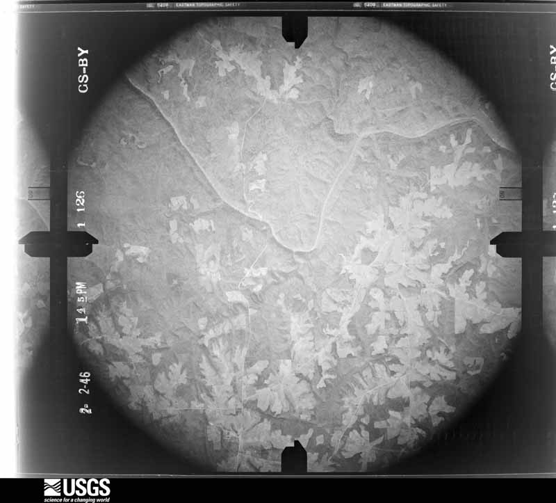
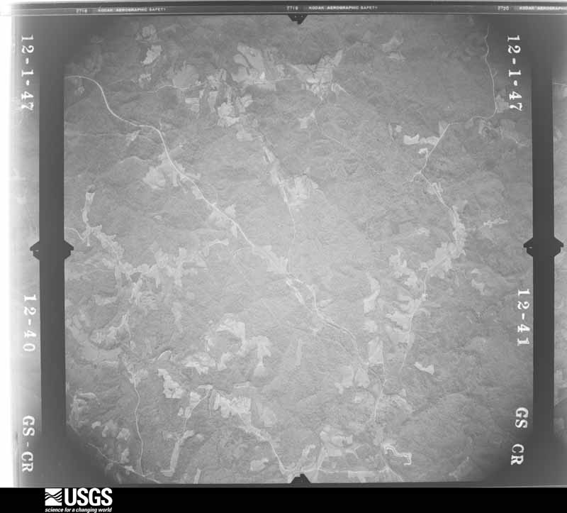
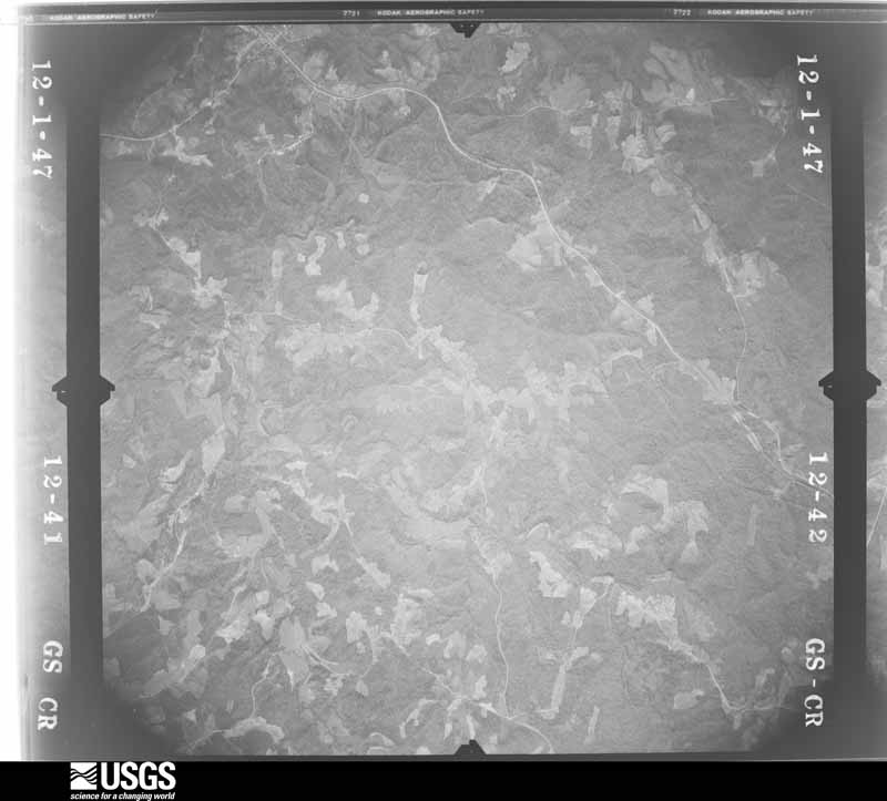
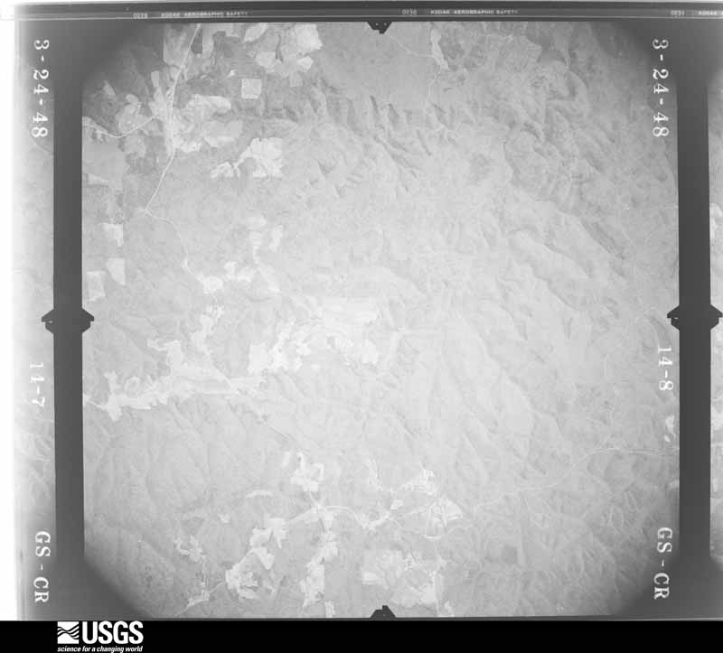
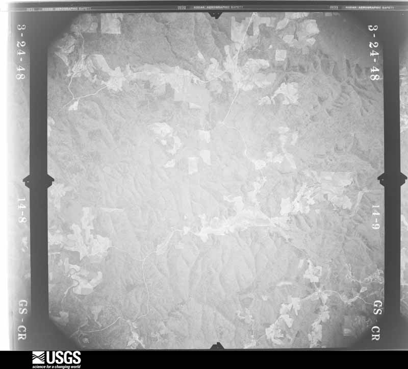
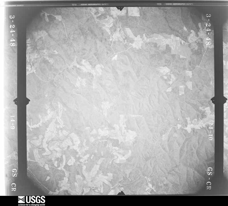
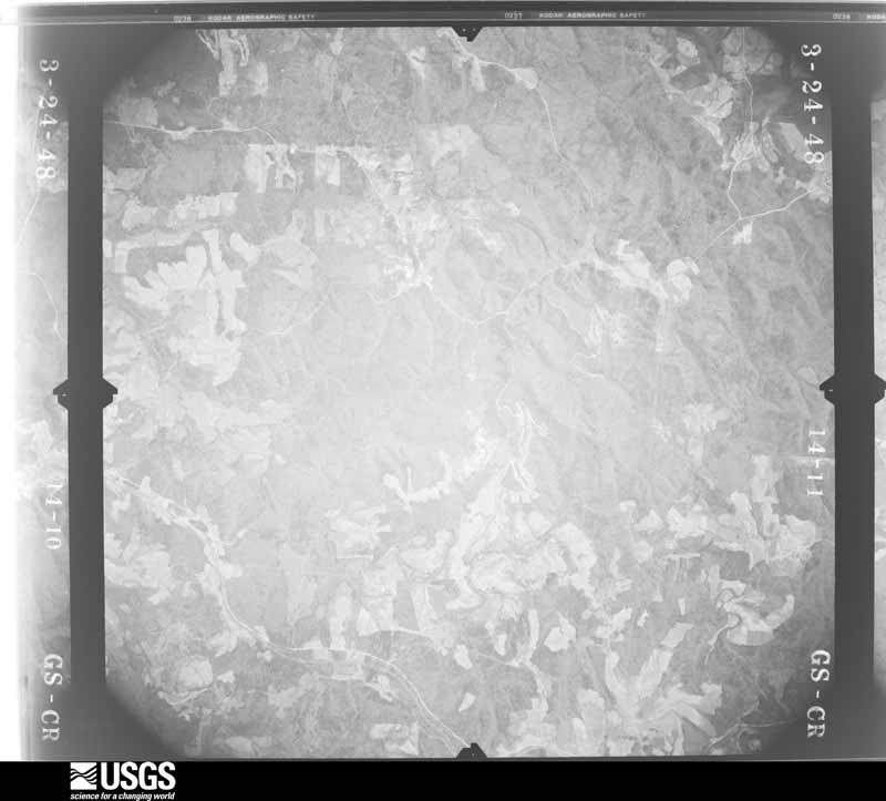
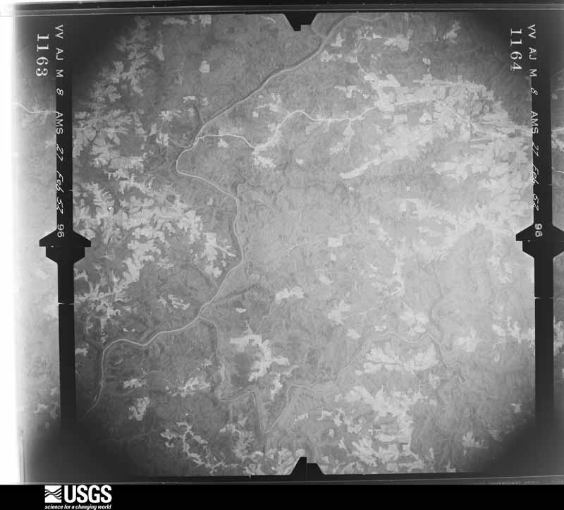
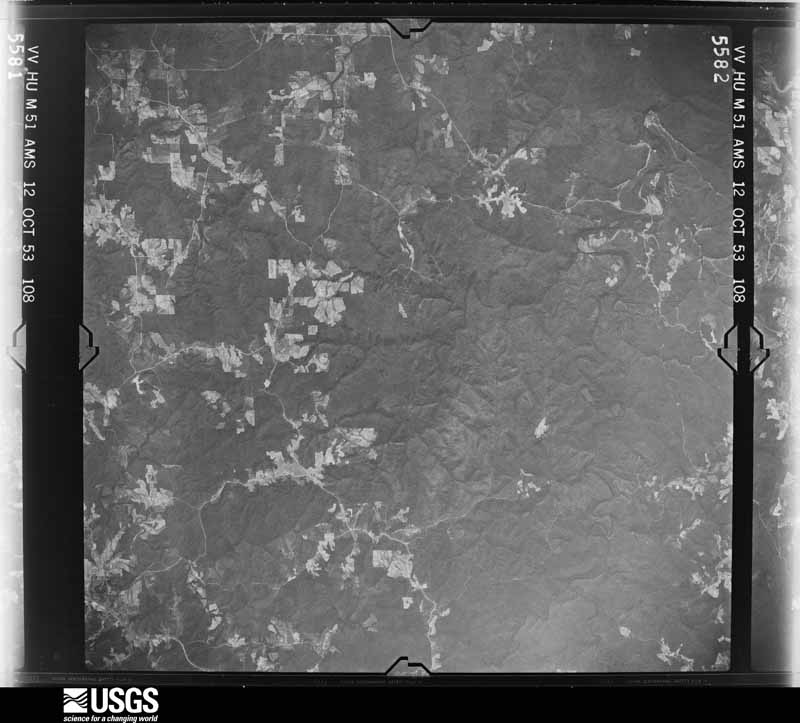
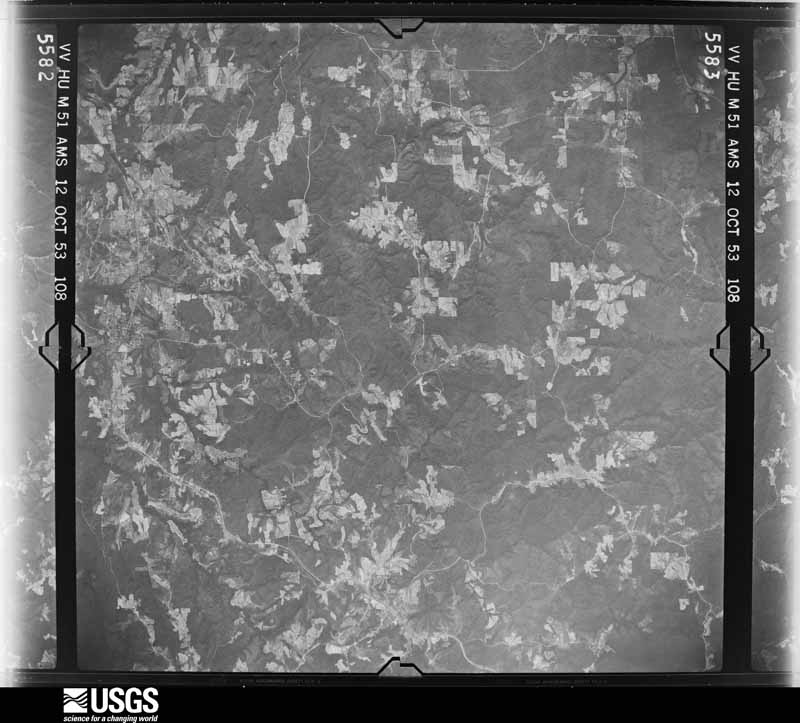
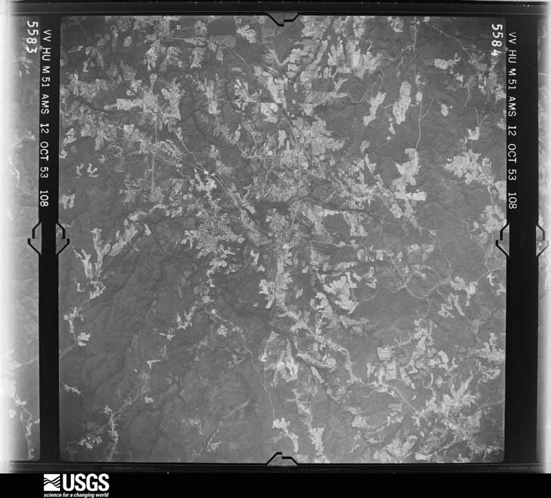
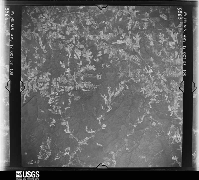
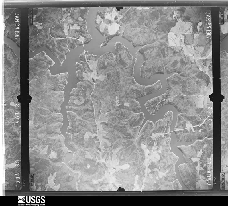
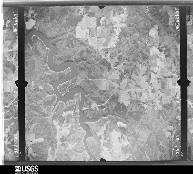
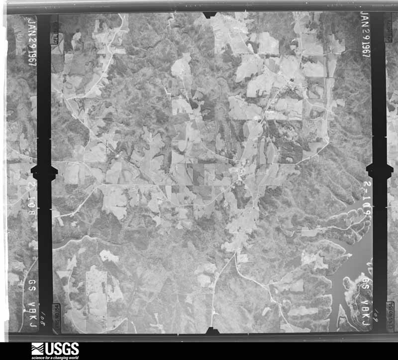
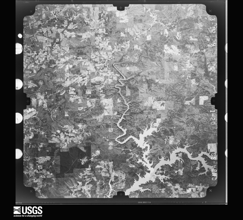
Flown by the U.S. Geological Survey between 1937 and 1989, the Aerial Photo Single Frames collection is the definitive mid-century view of the land: fields, roads and rivers as the camera saw them. The Survey holds 367 frames inside the rectangle that bounds this county; the 32 frames below were taken over the county itself, chosen across the decades of flights (at most four a year from that rectangle), so one flight cannot crowd out the rest. The full set is free to browse and download at EarthExplorer under the dataset Aerial Photo Single Frames.





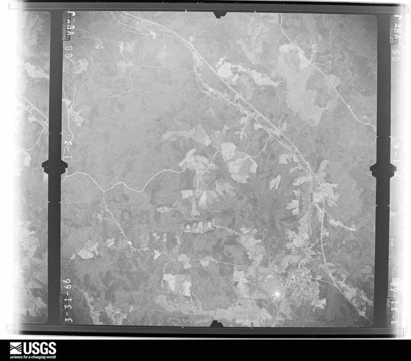
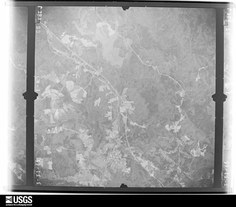
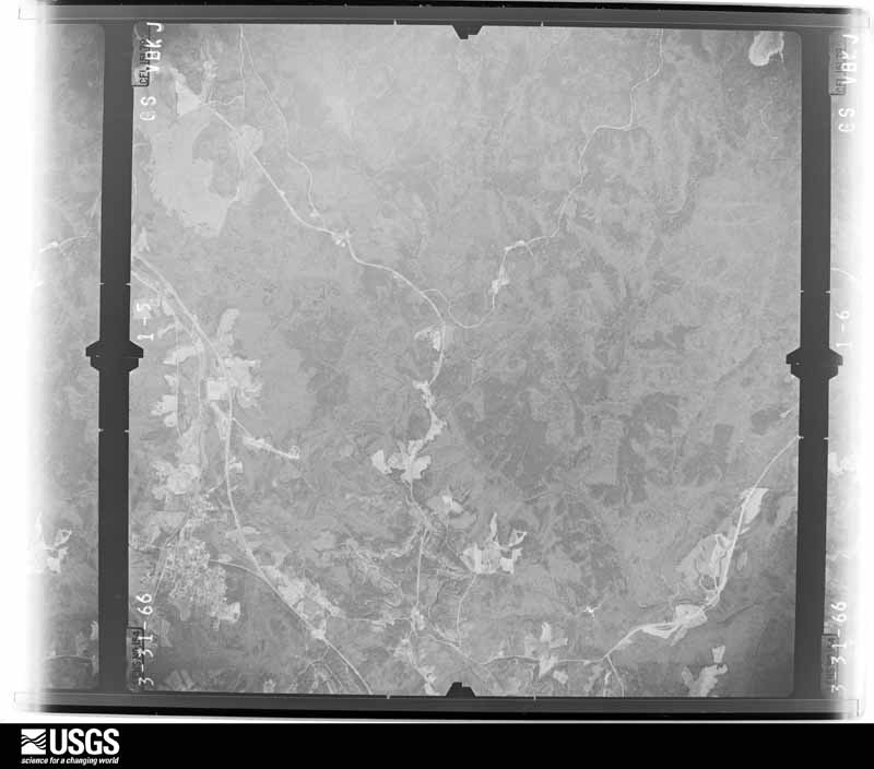

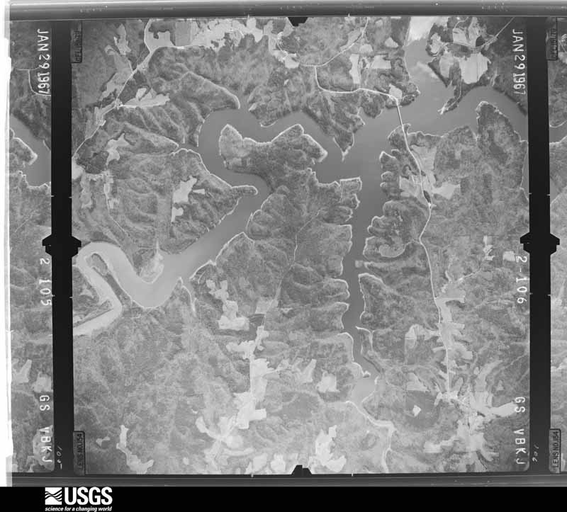






The thermometers that kept this county's weather, and the gages that measured the flow of its streams, as the federal records hold them. The extremes below are measured values from those records, not estimates.
Who lived here in 1950, one enumeration district at a time, as the Census Bureau described each district. Each row opens its official National Archives result, with Population Schedules and ED Maps available there.
Every wildfire the federal occurrence database records inside this county: 999 of them, burning about 13,920 acres. 21 started naturally and 535 were recorded as arson. Each settlement page carries the fires within five miles of it.
| Reported cause | Fires |
|---|---|
| Arson/incendiarism | 535 |
| Debris and open burning | 219 |
| Missing data/not specified/undetermined | 116 |
| Recreation and ceremony | 38 |
| Equipment and vehicle use | 26 |
| Natural | 21 |
| Smoking | 19 |
| Power generation/transmission/distribution | 9 |
| Misuse of fire by a minor | 8 |
| Other causes | 3 |
| Railroad operations and maintenance | 3 |
| Fireworks | 2 |
The five largest, by the area the report gives. Four of them were set deliberately.
| Date | Cause | Size | Reported by | Name on the report |
|---|---|---|---|---|
| 20 February 2011 | Arson/incendiarism | 919 acres | Alabama Forestry Commission | 6301 US HWY 278W, AL |
| 3 March 1996 | Debris and open burning | 575 acres | Alabama Forestry Commission | not named |
| 21 February 2011 | Debris and open burning | 479 acres | National Forests in Alabama | GREEN TOWER |
| 26 March 2008 | Missing data/not specified/undetermined | 362 acres | National Forests in Alabama | NIKKA'S HANDBASKET |
| 27 March 2008 | Arson/incendiarism | 321 acres | National Forests in Alabama | PINE GROVE |
| 26 January 2014 | Arson/incendiarism | 293 acres | National Forests in Alabama | SHOE BARN |
| 4 April 1992 | Arson/incendiarism | 291 acres | National Forests in Alabama | not named |
| 18 September 2019 | Natural | 250 acres | National Forests in Alabama | COLLINS CAMP |
Every settlement page carries the fires within five miles of it - see the settlement index below.
The NOAA Storm Events Database holds 432 reports for this county, causing 7 deaths, 117 injuries and about $19,536,800 in recorded property damage. Each settlement page carries the reports that name it.
| Kind of event | Reports |
|---|---|
| Thunderstorm Wind | 226 |
| Hail | 119 |
| Tornado | 42 |
| Lightning | 23 |
| Flash Flood | 18 |
| Funnel Cloud | 2 |
| Dust Devil | 1 |
| Heavy Rain | 1 |
The most serious of them, by death, then injury, then recorded damage. The accounts are quoted exactly as the forecast office filed them.
| When | Event | Place named | Harm | What the report says |
|---|---|---|---|---|
| April 1974 | Tornado (F5) | not stated | 5 killed, 22 hurt | no account filed |
| November 2002 | Tornado (F3) | Poplar Spgs | 1 killed, 15 hurt, $200,000 | no account filed |
| May 1987 | Tornado (F2) | not stated | 1 killed, $25,000 | no account filed |
| April 2011 | Tornado (EF3) | Haleyville | 25 hurt, $11,500,000 | A tornado initially touched down in southwest Marion County, near the community of Pikeville and tracked northeast where it moved across southern portions of Haleyville and into Winston County, south of AL Route 129. The tornado lifted in the William B. Bankhead National Forest, north of Rabbittown. The tornado moved into western Winston County and caused extensive damage to businesses near the intersection of CR 75 and Dolphin Rd. As the tornado crossed southern portions of Haleyville, many homes were significantly damaged and several were destroyed. This damage was consistent with an EF3 rating and winds of 150 mph. The tornado continued to produce tree damage as it entered the Bankhead National Forest area in northern Winston County, lifting along CR 3434. |
| April 1995 | Tornado (F1) | Haleyville | 17 hurt, $450,000 | A tornado touched down about five miles southwest of Haleyville in Marion County along State Highway 129 and moved on a northeast track that took it into the northern section of Haleyville. The tornado path covered about five miles in Marion County and one mile in Winston County. The most significant damage occurred along State Highway 129 in Marion County and most of the injuries occurred in that area. Most of those injured were in mobile homes at the time the storm hit. Three mobile homes were destroyed along with three businesses. Large hail, around one inch, was also reported in Haleyville with the storm. |
| November 2001 | Tornado (F2) | Haleyville | 13 hurt, $800,000 | no account filed |
| March 1964 | Tornado (F3) | not stated | 7 hurt, $250,000 | no account filed |
| March 1976 | Tornado (F2) | not stated | 6 hurt, $250,000 | no account filed |
| November 2002 | Tornado (F3) | Arley | 5 hurt, $300,000 | no account filed |
| April 2009 | Thunderstorm Wind | Haleyville | 1 hurt, $60,000 | Windows were blown out, a ball field dugout, and a baseball batting cage, all sustained damage at Haleyville High School. About 50 students and adults, preparing for the school's prom in the gym, heard about the oncoming storm from a police officer. They took shelter in the basement/locker room area under the gym, and were not injured. Numerous trees and power lines were blown down around the rest of the city of Haleyville. Power lines landed on a vehicle, and briefly trapped its occupants. A tree fell onto a mobile home, slightly injuring one occupant. At least two other homes sustained damage from fallen trees. |
| March 2006 | Thunderstorm Wind | Countywide | 1 hurt, $60,000 | The most significant damage was from the Lynn, Double Springs, and Bankhead National Forest areas northward. Numerous trees were blown down in and around Lynn, Double Springs, and Haleyville. In Lynn, one person was injured at a mobile home manufacturing plant, and one mobile home was damaged. In Double Springs, several stores and the County Courthouse suffered roof damage. In Haleyville, the post office lost part of its roof and several signs were destroyed. Wind gusts were estimated at 58 to 70 mph. |
| April 2009 | Thunderstorm Wind | Ashbank | 1 hurt, $10,000 | Trees were blown down in the Ashbank community. One of the trees landed on a vehicle, and the occupant suffered a compound fracture. |
| June 2011 | Lightning | Meek | 1 hurt, $5,000 | An 11 year old male was injured when lightning struck near his home in Arley. In addition, the home sustained minor damage. As a thunderstorm complex was moving out of the area, a bolt of lightning hit the driveway outside the home, moving through part of the porch structure, striking the male. |
| April 1996 | Lightning | Arley | 1 hurt, $2,000 | no account filed |
| April 2013 | Tornado (EF1) | Nesmith | 1 hurt | National Weather Service meteorologists surveyed the damage in Winston County and have determined that the damage was due to an EF-1 tornado, with winds of 100 mph. The brief tornado touched down in a field just southeast of the intersection of County Road 45 and County Road 3734. This location was approximately 3.49 miles east southeast of Addison. The tornado snapped and uprooted several large trees, completely demolished two sheds, and damaged a double wide home where a woman was injured. The woman was injured as she attempted to enter her vehicle and go to a shelter. The tornado continued north northwest where it twisted and rolled an unoccupied mobile home over 50 yards. The tornado snapped several more trees and rolled an unsecured mobile home on Dakota Drive. The tornado lifted just beyond Dakota Drive. |
| May 2002 | Lightning | Haleyville | 1 hurt | A boy was struck by lightning in Haleyville. The extent of the injuries was unknown. |
| February 1989 | Tornado (F2) | not stated | $2,500,000 | no account filed |
| June 2003 | Thunderstorm Wind | Countywide | $250,000 | Numerous trees were knocked down countywide. One large storage building was destroyed. Southern Homes in Double Springs sustained significant damage to its plant. Many buildings were damaged or destroyed at the plant. One chicken house was damaged and one mobile home was destroyed. |
| February 1983 | Tornado (F2) | not stated | $250,000 | no account filed |
| July 2004 | Thunderstorm Wind | Haleyville | $150,000 | no account filed |
| November 2003 | Thunderstorm Wind | Arley | $117,000 | What was believed to be thunderstorm wind totally destroyed one two-story house and caused minor damage to several others. Two floating boat houses were totally destroyed along with numerous downed trees. The damage area was about 4 tenths of a mile wide but only about 400 yards deep immediately on the northern edge of Smith Lake in Winston County. The strong wind was able to destroy the one house due to relatively poor construction including lack of vertical tie-ins between floor, walls, and roof. |
| March 2011 | Hail | Haleyville | $100,000 | Hail the size of golf balls caused widespread damage to vehicles and buildings in the city of Haleyville. Property damage amounts are estimated. |
| October 2010 | Tornado (EF1) | Delmar | $100,000 | The tornado touched down near the intersection of Winston CR 28 and AL Hwy 13 at approximately 205 am, then traveled northeast across CR 13 towards Macedonia. The tornado reached its maximum strength wind speeds of 100 to 110 mph as it crossed CR 3231. The width of the damage path at this point was approx 600 yards, the widest portion of the damage path. The tornado then crossed CR 3230 where it destroyed a two week old hay barn and a large workshop/storage shed and also caused significant damage to two other structures.||Another outbuilding also sustained damage at the same location and the residence sustained significant roof damage. At this point the damage path took more of an easterly path but remained narrow and well-defined. The tornado struck just north of the Macedonia church where a double-wide home sustained significant roof damage and several outbuildings were damaged. It continued eastward just north of Friendship Rd and then crossed AL Hwy 195 as it continued to snap off large tree limbs and caused damage to additional outbuildings. The last damage found was near the intersection of CR 2 and CR 47, where minor roof damage affected a home and tree damage was present. The tornado then moved off into inaccessible forestry land and dissipated. |
| January 1999 | Tornado (F1) | Double Spgs | $85,000 | A small tornado began on the south side of US 278 a little more than 3.5 miles west-northwest of Double Springs and moved on a north-northeast track for about a mile and a half. The tornado began in an open field and immediately damaged two buildings and a mobile home at the Mount Carmel Church. The tornado crossed US 278 downing trees and damaging a home on the north side of the highway. The tornado continued across CR 55 damaging two more homes. A large satellite dish was turned inside-out like an umbrella. The tornado continued through a wooded section before ending just after crossing CR 32. |
| April 2006 | Tornado (F1) | Haleyville | $76,000 | no account filed |
| January 2005 | Thunderstorm Wind | Countywide | $70,000 | A weakening line of thunderstorms produced wind damage mainly across the western half of the county. Several trees and power lines were blown down, several buildings sustained minor structural damage, windows were blown out of a few buildings, a few structures suffered minor roof damage, and several vehicles had window damage in and around Haleyville. Trees and power lines were blown down in and around Double Springs. |
| July 2000 | Thunderstorm Wind | Countywide | $70,000 | Numerous trees and power lines were knocked down across the county. A few chicken houses had significant roof damage. In Arley, the post office had shingles blown off the roof, and several commercial buildings suffered minor roof damage. In Lynn, a mobile home was rolled over and significantly damaged. |
| April 2011 | Thunderstorm Wind | Haleyville | $50,000 | Numerous trees were blown down in and around the city of Haleyville, northward to the Posey Mill area. The highest winds were about 4 to 5 miles north of Haleyville, where at least 5 acres of trees were blown down, and at least one house and one barn sustained damage. |
| April 2008 | Thunderstorm Wind | Nathan | $50,000 | Trees and power lines were blown down in Arley. One tree damaged a mobile home, and another damaged a house. Six houses suffered shingle damage. One grain silo top was blown off, and the top of one storage building was blown off. |
| May 2008 | Thunderstorm Wind | Double Spgs | $50,000 | An area of straight line winds caused a swath of damage about a half mile long and a quarter of a mile wide, near Double Springs. The damage was centered at the Double Springs Elementary School, where numerous trees were blown down and the roof of the school sustained minor damage. Several nearby homes also sustained roof damage both directly from the wind and from fallen trees. Additional sporadic wind damage occurred elsewhere in Winston County. |
| March 2007 | Tornado (EF2) | Lewis Smith Lake | $50,000 | The tornado touched down near the intersection of County Road 41 and County Road 62, about 2 miles north of Arley. It then tracked northeastward, crossed Smith Lake, crossed County Road 77, before it moved into Cullman County. Several homes and barns were damaged along the path. One chicken house was totally destroyed and two others sustained major damage. Numerous trees were either uprooted or snapped off. |
| September 2006 | Lightning | Arley | $50,000 | Lightning struck a mobile home, causing it to burn down. |
| April 2000 | Flash Flood | Countywide | $50,000 | Numerous roads were flooded across the area. Several of these roads had sections washed out. A few vehicles were pushed off the roads by the high water but no injuries were reported. One to three inches of rain fell in a short period of time on already saturated ground. Three day totals were five to seven inches of rain. |
| May 1998 | Thunderstorm Wind | Addison | $50,000 | Trees fell on three cars destroying one, and a tree fell on a mobile home cutting it in half, in the Helicon community. |
| May 1994 | Thunderstorm Wind | Double Springs | $50,000 | Winston County Emergency Management reported many trees down, one business damaged, tin roof partially blown off a building, and power lines down in the Arley-Helicon area along County Road 77 in eastern Winston County. |
| June 1994 | Thunderstorm Wind | Double Springs | $50,000 | High winds with a thunderstorm toppled a house under construction in Double Springs, took the top off a chicken house, and downed a number of trees. Hail the size of quarters was also reported in Double Springs, and hail up to quarter-size covered the road on U.S. Highway 278 east of Double Springs. |
| June 1998 | Thunderstorm Wind | Countywide | $45,000 | Numerous trees and power lines were down across the county. |
| September 1996 | Tornado (F1) | Addison | $45,000 | no account filed |
| April 1996 | Thunderstorm Wind | Double Springs | $45,000 | no account filed |
| July 2004 | Lightning | Haleyville | $35,000 | A house was struck by lightning in downtown Haleyville. The home suffered extensive damage. |
| April 2001 | Lightning | Double Spgs | $32,000 | Lightning struck and damaged three separate homes in the Double Springs and Lynn areas. |
| June 2009 | Thunderstorm Wind | Haleyville | $30,000 | Numerous trees and power lines were blown down across a large portion of Winston County, from Haleyville in the west to Arley in the east. Winds in Haleyville were estimated around 65 mph. |
| September 2005 | Tornado (F0) | Double Spgs | $30,000 | A weak tornado touched down near the Black Pond community southeast of Double Springs. The tornado started just west of County Road 8 northwest of Black Pond. The tornado moved northward and crossed County Road 8 near the Union Grove Freewill Baptist Church. Several trees and power lines were blown down along the path of the tornado. A trampoline was lifted into a power line that remained standing. The Union Grove Freewill Baptist Church suffered minor roof damage and a flag pole was bend in half at the Williams Cemetery. The brief tornado touched down at 254 PM CDT and lifted at 255 PM CDT. The tornado damage path was 0.75 miles long and 50 yards wide at its widest point. This tornado was produced by the remnants of Hurricane Rita. Begin: 34 03.91/87 22.14 End: 34 04.59/87 22.01 |
| April 1998 | Thunderstorm Wind | Arley | $30,000 | There were several trees reported down and porches were blown off a few lake homes in the area along Smith Lake southeast of Arley. |
| January 1998 | Flash Flood | Countywide | $30,000 | no account filed |
| June 1996 | Lightning | Haleyville | $30,000 | no account filed |
| June 2003 | Thunderstorm Wind | Arley | $27,000 | One mobile home was destroyed, a few power poles were blown down, and the roof of one home was damaged just south of Arley. Marble size hail was also reported with this storm. |
| May 2010 | Lightning | Haleyville | $25,000 | A lightning strike set fire to a warehouse building in downtown Haleyville, resulting in a total loss of the building. |
| October 2010 | Thunderstorm Wind | Pleasant Hill | $25,000 | Several trees were blown down along County Road 2. A mobile home sustained roof damage and a carport was blown over damaging two vehicles. |
| April 2008 | Thunderstorm Wind | Natis | $25,000 | Thirty to forty pine trees were uprooted and fell onto power lines along AL-195. |
| February 2001 | Thunderstorm Wind | Countywide | $25,000 | Winston County reported numerous trees blown down. The most concentrated damage occurred from Lynn to Arley. Dime size hail was also reported with these storms. |
| November 2001 | Thunderstorm Wind | Lynn | $25,000 | One home had its roof blown off and numerous trees were knocked down in Lynn. |
| September 1999 | Thunderstorm Wind | Double Spgs | $25,000 | One mobile home was totally destroyed and several trees were blown down near Rock Creek. |
| February 1999 | Thunderstorm Wind | Double Spgs | $25,000 | Strong straight line wind damaged a house when about 100 square feet of roof was removed. Additional structural damage was evidenced in the house as well. A number of trees were downed in the area and a mobile home was shifted slightly on it's blocks. Some additional minor wind damage to trees and small sheds also occurred in the area north of Double Springs. |
| January 1999 | Flash Flood | Countywide | $25,000 | Several roads were flooded in and around Double Springs including US 278. |
| November 1973 | Tornado (F2) | not stated | $25,000 | no account filed |
| June 2005 | Thunderstorm Wind | Lynn | $22,000 | Emergency Management Officials reported minor roof damage and trees and power lines blown down onCounty Road 25 between Lynn and Double Springs. |
| June 2007 | Thunderstorm Wind | Haleyville | $20,000 | A furniture company building was damaged, and several storage trailers were overturned, south of Haleyville. |
| July 2006 | Dust Devil | Haleyville | $20,000 | An apparent dust devil caused extensive damage to two chicken houses on a farm on Dime Road, north of Haleyville. Witnesses reported seeing metal from the chicken houses, and other debris, circulating and floating in the air and being carried by the wind. Some of the debris was carried a quarter of a mile away. A power line was also torn from a pole, which resulted in a small fire. There were no thunderstorms in the area at the time. Time of the event is estimated. |
| August 2002 | Thunderstorm Wind | Ashridge | $20,000 | Two homes were damage by thunderstorm winds on CR 15 near Ashridge. One home had its front porch removed. The other home had its porch removed, roof torn off, above ground swimming pool destroyed, and a few trees knocked down. |
The Survey's mineral resources record lists 1 working inside this county. It still produces. Each settlement page carries the workings within five miles of it.
| Commodity | Workings |
|---|---|
| Sand and Gravel, Construction | 1 |
The least common of them first, because a county's hundredth gravel pit says nothing its first ten did not.
| Where | Site | Commodity | Status | Recorded |
|---|---|---|---|---|
| Unnamed Quarry | Sand and Gravel, Construction | Producer | Quartz |
Named settlements recorded in the Geographic Names Information System, each with the topographic sheets covering it. Villages, hamlets and abandoned places alike. Each is shown with the nearest named watercourse or landform and the survey quadrangle it falls on. The 1 place that was also surveyed for fire insurance comes first, with the number of atlases and photographs held for them.
Haleyville census division · 35565 · On Rocky Ravine Creek · Haleyville East quadrangle
13 sheets, 1936 to 1980
Fire insurance: 3 atlases
Lynn census division · 35578 · On Long Branch · Poplar Springs quadrangle
11 sheets, 1956 to 2000
Addison census division · 35553 · On Mill Creek · Houston quadrangle
11 sheets, 1956 to 2000
Haleyville census division · 35565 · Haleyville East quadrangle
13 sheets, 1936 to 1980
No longer a settlement
Haleyville census division · 35565 · On McDonald Branch · Haleyville East quadrangle
13 sheets, 1936 to 1980
No longer a settlement
Double Springs census division · 35578 · Poplar Springs quadrangle
11 sheets, 1956 to 2000
No longer a settlement
Double Springs census division · 35553 · On Coon Creek · Black Pond quadrangle
11 sheets, 1956 to 2000
No longer a settlement
Double Springs census division · 35553 · On Tig Branch · Black Pond quadrangle
11 sheets, 1956 to 2000
Lynn census division · 35575 · On Meadow Creek · Lynn quadrangle
11 sheets, 1956 to 1980
No longer a settlement
Double Springs census division · 35553 · Double Springs quadrangle
11 sheets, 1956 to 2000
Haleyville census division · 35553 · On Godsey Creek · Haleyville East quadrangle
13 sheets, 1936 to 1980
No longer a settlement
Double Springs census division · 35553 · On North Creek · Black Pond quadrangle
11 sheets, 1956 to 2000
No longer a settlement
Double Springs census division · 35553 · Black Pond quadrangle
11 sheets, 1956 to 2000
Haleyville census division · 35565 · Phil Campbell quadrangle
14 sheets, 1936 to 1980
Double Springs census division · 35553 · Double Springs quadrangle
11 sheets, 1956 to 2000
Addison census division · 35541 · On Clifty Creek · Addison quadrangle
13 sheets, 1956 to 2000
Double Springs census division · 35553 · On Coon Creek · Black Pond quadrangle
11 sheets, 1956 to 2000
Lynn census division · 35575 · On Old Spring Branch · Lynn quadrangle
11 sheets, 1956 to 1980
No longer a settlement
Haleyville census division · 35565 · On Kirkpatrick Creek · Kinlock Spring quadrangle
12 sheets, 1936 to 2000
Lynn census division · 35575 · On West Prong Blackwater Creek · Lynn quadrangle
11 sheets, 1956 to 1980
Lynn census division · 35575 · Near Bald Rock · Gold Mine quadrangle
12 sheets, 1956 to 1980
No longer a settlement
Double Springs census division · 35553 · On Caney Creek · Double Springs quadrangle
11 sheets, 1956 to 2000
No longer a settlement
Double Springs census division · 35553 · On Caney Creek · Double Springs quadrangle
11 sheets, 1956 to 2000
No longer a settlement
Addison census division · 35541 · On Clifty Creek · Addison quadrangle
13 sheets, 1956 to 2000
Lynn census division · 35575 · On Old Spring Branch · Lynn quadrangle
11 sheets, 1956 to 1980
Addison census division · 35572 · On Brindley Branch · Houston quadrangle
11 sheets, 1956 to 2000
Lynn census division · 35578 · Near Bald Rock · Poplar Springs quadrangle
11 sheets, 1956 to 2000
No longer a settlement
Addison census division · 35553 · On Cane Creek · Houston quadrangle
11 sheets, 1956 to 2000
Lynn census division · 35575 · On West Prong Blackwater Creek · Lynn quadrangle
11 sheets, 1956 to 1980
No longer a settlement
Haleyville census division · 35565 · On Whitehead Creek · Kinlock Spring quadrangle
12 sheets, 1936 to 2000
Lynn census division · 35575 · Near Bald Rock · Lynn quadrangle
11 sheets, 1956 to 1980
Addison census division · 35540 · On Boone Creek · Addison quadrangle
13 sheets, 1956 to 2000
Haleyville census division · 35565 · On Dunn Branch · Kinlock Spring quadrangle
12 sheets, 1936 to 2000
Double Springs census division · 35553 · On Pigeon Roost Branch · Double Springs quadrangle
11 sheets, 1956 to 2000
No longer a settlement
Double Springs census division · 35553 · Double Springs quadrangle
11 sheets, 1956 to 2000
Double Springs census division · 35578 · On Moccasin Branch · Poplar Springs quadrangle
11 sheets, 1956 to 2000
Double Springs census division · 35565 · Near Balls Mountain · Bee Branch quadrangle
18 sheets, 1936 to 2000
Double Springs census division · 35553 · On Cane Creek · Houston quadrangle
11 sheets, 1956 to 2000
No longer a settlement
Double Springs census division · 35553 · On Rock Creek · Double Springs quadrangle
11 sheets, 1956 to 2000
Addison census division · 35572 · On Hullett Branch · Black Pond quadrangle
11 sheets, 1956 to 2000
No longer a settlement
Haleyville census division · 35565 · On Tanyard Creek · Haleyville East quadrangle
13 sheets, 1936 to 1980
No longer a settlement
Double Springs census division · 35553 · Poplar Springs quadrangle
11 sheets, 1956 to 2000
No longer a settlement
Addison census division · 35540 · On Soakingwater Creek · Upshaw quadrangle
17 sheets, 1935 to 2000
Double Springs census division · 35553 · Double Springs quadrangle
11 sheets, 1956 to 2000
No longer a settlement
Addison census division · 35541 · Near Indian Cave Hollow · Arley quadrangle
11 sheets, 1956 to 2000
The vanished settlements of Winston County: the places named above that are no longer on the map.
13 topographic sheets and 3 fire insurance atlases, 1930 to 1939