 Block
Crown King, Arizona
31 topographic sheets cover this place, the earliest surveyed in 1887 and the latest in 1981. It stands in the Congress census division. It lies in ZIP code area 86343. It lies near Marceds Gulch. The Survey maps it on the Crown King quadrangle. It stands 5,771 feet above sea level.
On record in Crown King
Buildings and businesses the archive holds for this place. Each opens its own page, with the source record it came from.
On the National Register 1 record
- Crown King Ranger Stationlisted 1993
Surveyed buildings and structures 12 of 13 shown
- Horsethief Basin Resort, 7 miles Southeast of Crown King, Crown Kingfederal building survey, 13 photographs
- Horsethief Basin Resort, Cabin No. 1, 7 miles Southeast of Crown King, Crown Kingfederal building survey, 4 photographs
- Horsethief Basin Resort, Cabin No. 10, 7 miles Southeast of Crown King, Crown Kingfederal building survey, 4 photographs
- Horsethief Basin Resort, Cabin No. 2, 7 miles Southeast of Crown King, Crown Kingfederal building survey, 2 photographs
- Horsethief Basin Resort, Cabin No. 3, 7 miles Southeast of Crown King, Crown Kingfederal building survey, 3 photographs
- Horsethief Basin Resort, Cabin No. 4, 7 miles Southeast of Crown King, Crown Kingfederal building survey, 3 photographs
- Horsethief Basin Resort, Cabin No. 5, 7 miles Southeast of Crown King, Crown Kingfederal building survey, 4 photographs
- Horsethief Basin Resort, Cabin No. 6, 7 miles Southeast of Crown King, Crown Kingfederal building survey, 4 photographs
- Horsethief Basin Resort, Cabin No. 7, 7 miles Southeast of Crown King, Crown Kingfederal building survey, 3 photographs
- Horsethief Basin Resort, Cabin No. 8, 7 miles Southeast of Crown King, Crown Kingfederal building survey, 2 photographs
- Horsethief Basin Resort, Cabin No. 9, 7 miles Southeast of Crown King, Crown Kingfederal building survey, 8 photographs
- Horsethief Basin Resort, General Store, 7 miles Southeast of Crown King, Crown Kingfederal building survey, 5 photographs
Topographic sheets covering this place
14 surveys from 31 printed sheetsMatched by testing this settlement's coordinate against the published boundary of every sheet in the United States Geological Survey's historical collection. Each opens the scanned sheet at the Survey.
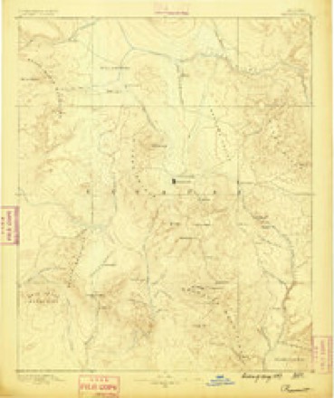
- 1887 USGS Prescott quadrangle1:250000
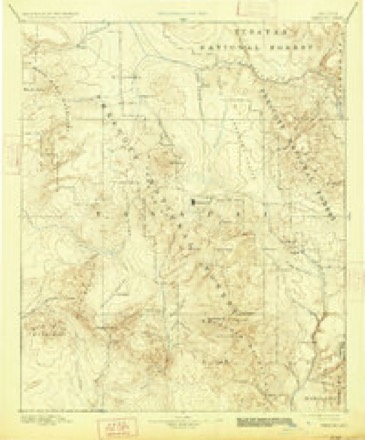
- 1892 USGS Prescott quadrangle1:250000, 5 printings
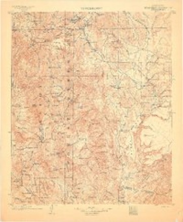
- 1903 USGS Bradshaw Mountains quadrangle1:125000, 4 printings
- 1947 USGS Crown King quadrangle1:62500
- 1948 USGS Crown King quadrangle1:63360, 2 printings
- 1950 USGS Crown King quadrangle1:62500
- 1950 USGS Prescott quadrangle1:250000
- 1954 USGS Prescott quadrangle1:250000, 4 printings
- 1958 USGS Prescott quadrangle1:250000
- 1959 USGS Prescott quadrangle1:250000, 2 printings
- 1960 USGS Prescott quadrangle1:250000, 2 printings
- 1965 USGS Prescott quadrangle1:250000
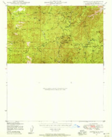
- 1969 USGS Crown King quadrangle1:24000, 4 printings
- 1981 USGS Bradshaw Mts quadrangle1:100000, 2 printings
Photographs
1 photograph,Taken for the Office of War Information and the Farm Security Administration, who photographed the country between 1935 and 1944. Works of United States government photographers, with no known restriction on use. Each opens its catalogue record.
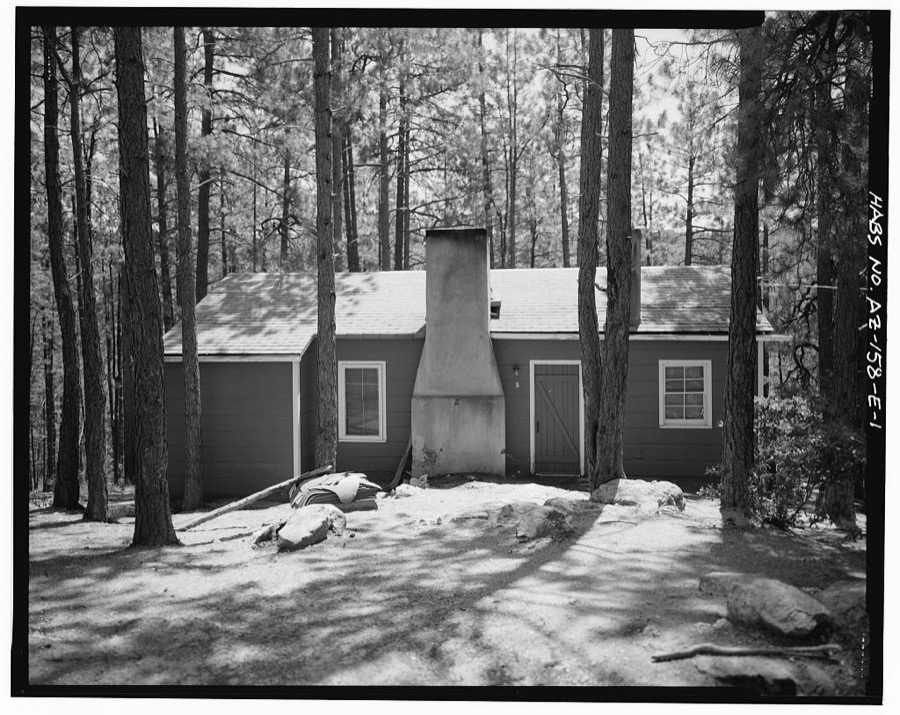
Photographer not recorded. Library of Congress
Fires near this place
207 since 1992Regional context, not property-specific evidence. The federal wildfire occurrence database lists 207 fires within 5 miles of Crown King between 1992 and 2020, burning about 29,600 acres in total. 129 started naturally. 3 were recorded as arson. Distance is straight-line from the map coordinates, so a fire counted here may appear on a neighbouring settlement's page as well.
| Reported cause | Fires |
|---|---|
| Natural | 129 |
| Missing data/not specified/undetermined | 35 |
| Recreation and ceremony | 26 |
| Debris and open burning | 5 |
| Arson/incendiarism | 3 |
| Power generation/transmission/distribution | 3 |
| Smoking | 2 |
| Equipment and vehicle use | 2 |
| Misuse of fire by a minor | 1 |
| Other causes | 1 |
The most recent of them, most recent first, with the day each was reported and the service that recorded it.
| Date | Cause | Size | Reported by | Name on the report |
|---|---|---|---|---|
| 7 September 2020 | Missing data/not specified/undetermined | under an acre | Prescott National Forest | TOWERS |
| 7 September 1995 | Natural | 2.0 acres | Prescott National Forest | WILDFLOWER |
| 6 September 2012 | Natural | under an acre | Prescott National Forest | BARTOL |
| 6 September 1997 | Natural | under an acre | Prescott National Forest | LANE |
| 4 September 2003 | Natural | under an acre | Prescott National Forest | LORENA |
| 4 September 1999 | Natural | under an acre | Prescott National Forest | CITIZEN |
| 4 September 1995 | Recreation and ceremony | under an acre | Prescott National Forest | POINT |
| 28 September 2003 | Recreation and ceremony | under an acre | Prescott National Forest | HORSETHIEF |
Settlements close enough to share some of these fires:
Mines and quarries near this place
10 of 122 shownRegional context, not property-specific evidence. The federal mineral resources record lists 122 workings within 5 miles of Crown King: 48 past producers, 29 prospects, 23 producers, 11 occurrences. 23 still produce. What was taken out: Gold, Silver, Copper, Copper, Silver. Distance is straight-line from the map coordinates, so a quarry counted here may appear on a neighbouring settlement's page as well.
| Where | Site | Commodity | Status | Recorded |
|---|---|---|---|---|
| Bluebird Mine | Lead, Silver, Gold, Copper, Molybdenum, Zinc | Producer | 1922, 1925, 1927 | |
| Bradshaw Fissure Mining Co Property | Gold, Lead, Silver, Zinc | Prospect | ||
| Button Mine | Gold, Silver, Lead, Zinc, Copper | Producer | 1901, 1942 | |
| Cornucopia Mine | Gold, Silver, Copper, Molybdenum | Past Producer | Vein | |
| Cougar Mine | Silver, Copper, Gold, Lead | Past Producer | ||
| Crown King Mine | Gold, Silver, Copper, Lead, Zinc, Iron | Producer | Vein | |
| Crown King Mine | Gold, Silver, Copper, Zinc, Lead, Vanadium | Past Producer | ||
| De Soto Magnetite Taconite | Iron, Manganese, Titanium | Occurrence | ||
| Del Pasco Mine | Gold, Silver, Lead, Copper, Zinc | Producer | Vein | |
| Fairview | Gold, REE | Prospect |
Storms near this place
20 since 1996Regional context, not property-specific evidence. The National Weather Service names Crown King in 20 storm reports between 1996 and 2024: 8 heavy rain, 6 thunderstorm wind, 4 flash flood, 2 hail. No death or injury is recorded in these reports. Each account below is quoted exactly as the forecast office filed it, from the NOAA Storm Events Database, and each date opens the federal record of that event.
| When | Event | Place named | Harm | What the report says |
|---|---|---|---|---|
| July 2024 | Thunderstorm Wind | Crown King | - | The Humbug Creek RAWS station meastured a peak wind gust of 67 MPH at 348 PM. |
| August 2024 | Hail | Crown King | - | Golf ball sized hail fell in Crown King. |
| August 2022 | Thunderstorm Wind | Crown King | - | The Humbug Creek RAWS reported sustained winds of 36 MPH with gusts to 71 MPH. |
| August 2021 | Thunderstorm Wind | Crown King | - | The Humbug Creek RAWS(QHBA3) had a peak wind gust of 67 MPH at 9:40 PM. The Stanton RAWS (QSTA3) had 60 MPH winds at 10:00 PM. Arizona Department of Transportation reported that State Route 89 south of Prescott (mile marker 308) was closed in both directions due to fallen trees at 11:35 PM. The exact time of tree fall was unknown. |
| August 2018 | Thunderstorm Wind | Crown King | - | A thunderstorm wind gust of 71 MPH was measured at the Humbug Creek RAWS site. |
| July 2017 | Thunderstorm Wind | Crown King | - | A peak wind gust of 67 MPH was measured at the Humbug Creek RAWS (estimated time). |
| August 2016 | Heavy Rain | Crown King | - | The Mesonet station in Minnehana (WAGA3) recorded 2.05 inches of rainfall. |
| August 2016 | Heavy Rain | Crown King | - | The Towers Mountain Mesonet station MNNA3 recorded 1.89 inches of rainfall. |
| August 2016 | Heavy Rain | Crown King | - | The Mesonet station 7 miles south-southeast of Crown King (QHBA3) recorded 1.42 inches of rainfall. |
| July 2016 | Thunderstorm Wind | Crown King | - | The Humbug Creek RAWS measured a peak wind gust of 61 MPH in association with a thunderstorm in the area. |
| October 2015 | Heavy Rain | Crown King | - | A remote gauge at Tower Mountain recorded 1.14 inches of rain. |
| July 2014 | Heavy Rain | Crown King | - | A thunderstorm produced 1.20 inches of rain in just 40 minutes in Crown King. |
| August 2013 | Flash Flood | Crown King | - | Crown King Road was damaged by water over topping the road between mile posts 15 and 19 near Mulddoon Gulch. Dual Pole Radar estimated around 2.50 inches of rain had fallen in that area. This area was impacted by the Gladiator Fire in 2012. |
| July 2012 | Heavy Rain | Crown King | - | Just over an inch of rain fell in 35 minutes. A mud slide was reported on Gladiator Road between mile post 26 and 27. The road was still passable. |
| July 2012 | Flash Flood | Crown King | - | A thunderstorm produced heavy rain and flash flooding over the Gladiator Fire area. A main road was washed out and there were also mud slides. |
| July 2012 | Flash Flood | Crown King | - | Two vehicles were washed off the Crown King Road (possibly Poland Creek) near the community of Cleator. The occupants were rescued. |
| July 2012 | Heavy Rain | Crown King | - | Alert gages around Crown King reported between 2.84 and 4.52 inches of rain in an 18 to 20 hour time period. |
| September 2012 | Heavy Rain | Crown King | - | Heavy rain caused minor damage to some of the less traveled road in the Gladiator Fire area. One of the automated rain gauges around the fire reported 1.90 inches of rain. |
| July 1996 | Flash Flood | Crown King | - | no account filed |
| September 1996 | Hail | Crown King | - | no account filed |
Nearest settlements
The eight closest, with where each one stands in the county. Distances are straight-line, computed from the Geographic Names Information System coordinates.
| Map | Place | Distance | Sheets |
|---|---|---|---|
| Bradshaw City | 1.1 miles | 31 | |
| Lapham | 3.8 miles | 30 | |
| Minnehaha | 4.7 miles | 30 | |
| Fort Misery | 4.7 miles | 31 | |
| Chilean Mill | 4.7 miles | 30 | |
| Hooper | 4.8 miles | 32 | |
| East Fort | 5.3 miles | 31 | |
| Burro John | 5.3 miles | 31 |
Elsewhere
Matched on this settlement's Geographic Names Information System number rather than its name, so it cannot be a different place of the same name in another state.
| Wikipedia article on Crown King | An encyclopaedic summary. Its text is share-alike, so it is linked here rather than copied. |
| Wikidata item Q748161 | The structured record the population and elevation above come from. Public domain (CC0). |
Provenance
This settlement is recorded in the Geographic Names Information System as feature 28197. The sheet list is computed by point-in-boundary test against the United States Geological Survey's historical topographic inventory. Both are works of the United States government and carry no copyright under 17 U.S.C. 105.
Wildfire. Short, Karen C. 2022. Spatial wildfire occurrence data for the United States, 1992-2020 [FPA_FOD_20221014]. 6th Edition. Fort Collins, CO: Forest Service Research Data Archive. https://doi.org/10.2737/RDS-2013-0009.6 Collected with United States Government funding and usable without additional permissions or fees.
Mines and quarries. USGS Mineral Resources Data System (MRDS) https://mrdata.usgs.gov/mrds/ A work of the United States government, no copyright under 17 U.S.C. 105.
Storms. NOAA National Centers for Environmental Information, Storm Events Database https://www.ncei.noaa.gov/stormevents/ A work of the United States government, no copyright under 17 U.S.C. 105. Narratives are quoted verbatim from the National Weather Service report and are not edited or summarised.