 Block
Kingman, Arizona
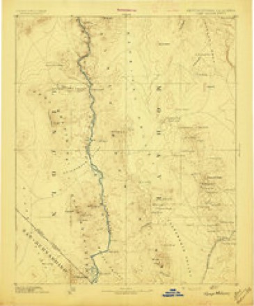
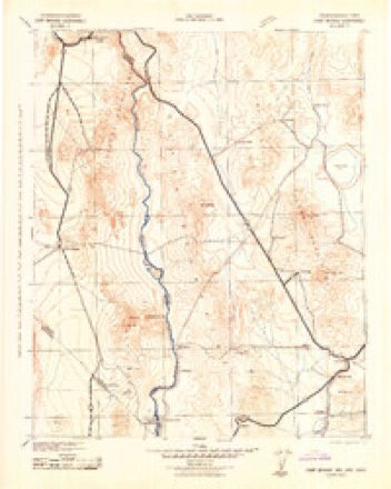
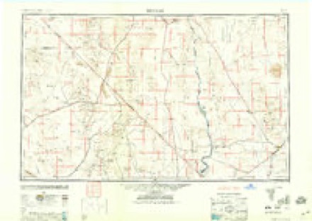
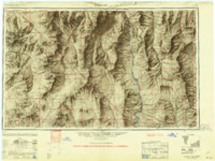
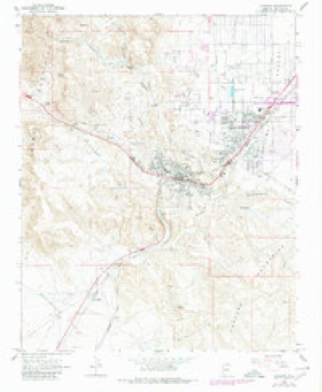
27 topographic sheets cover this place, the earliest surveyed in 1886 and the latest in 1982. It stands in the Kingman census division. It lies in ZIP code area 86401. It lies near Clack Canyon. The Survey maps it on the Kingman quadrangle. 32,689 people lived here at the 2020 count. It stands 3,333 feet above sea level.
Research this city
On record in Kingman
Buildings and businesses the archive holds for this place. Each opens its own page, with the source record it came from.
On the National Register 12 of 52 shown
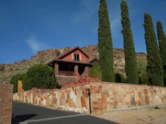 Max J. Anderson Houselisted 1986
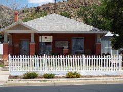 R. L. Anderson Houselisted 1987
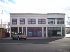 Armour and Jacobson Buildinglisted 1986
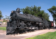 AT & SF Locomotivelisted 1986
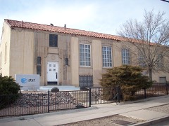 AT & T Buildinglisted 1986
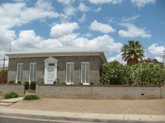 William G. Blakeley Houselisted 1986
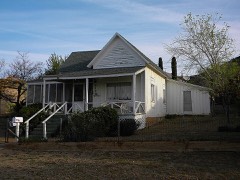 Ross H. Blakely Houselisted 1988
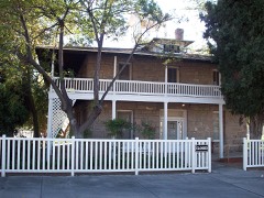 Bonelli Houselisted 1975
 Duff T. Brown Houselisted 1986
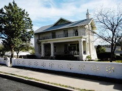 Raymond Carr Houselisted 1986
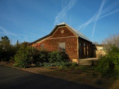 Foster S. Dennis Houselisted 1986
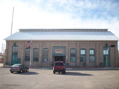 Desert Power & Water Co., Electric Power Plantlisted 1986
Every listing in Mohave County
Surveyed buildings and structures 3 records
- Davis Dam, Spanning the Colorado River, Kingmanfederal building survey, 1 photograph
- Davis Dam, Switchyards, Southeast of Davis Dam, Kingmanfederal building survey, 21 photographs
- Willow Beach Ranger Station, Willow Beach Access Road, Kingmanfederal building survey, 11 photographs
Population over time
2 figuresKingman grew from 28,068 to 32,689 between 2010 and 2020. These are the recorded population figures Wikidata holds for this place, reached through the Geographic Names Information System number this page is keyed on rather than by name, so they belong to this place and not to another of the same name. Most are census counts, but not all are: an early figure may be a founding or settlement estimate, and an estimate published within five years of a census is left out. The change column is computed, and is left blank where more than 20 years separate a figure from the one before it, because a gap that long is not a change between two counts.
| Year | People | Change |
|---|---|---|
| 2010 | 28,068 | |
| 2020 | 32,689 | +4,621 (+16%) |
Topographic sheets covering this place
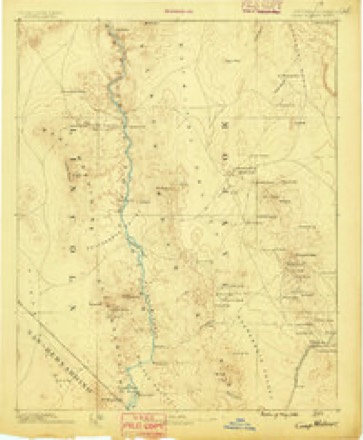
11 surveys from 27 printed sheetsMatched by testing this settlement's coordinate against the published boundary of every sheet in the United States Geological Survey's historical collection. Each opens the scanned sheet at the Survey.
- 1886 USGS Camp Mohave quadrangle1:250000
- 1892 USGS Camp Mohave quadrangle1:250000, 8 printings
- 1942 USGS Camp Mohave quadrangle1:250000
- 1947 USGS Kingman quadrangle1:250000, 2 printings
- 1948 USGS Kingman quadrangle1:250000
- 1954 USGS Kingman quadrangle1:250000, 4 printings
- 1955 USGS Kingman quadrangle1:250000
- 1958 USGS Kingman quadrangle1:250000, 2 printings
- 1960 USGS Kingman quadrangle1:250000, 3 printings
- 1967 USGS Kingman quadrangle1:24000, 2 printings
- 1982 USGS Davis Dam quadrangle1:100000, 2 printings
Photographs
8 of 21 photographs shown, 1942 to 1943Taken for the Office of War Information and the Farm Security Administration, who photographed the country between 1935 and 1944. Works of United States government photographers, with no known restriction on use. Each opens its catalogue record.

Henle, Fritz, 1942. Library of Congress
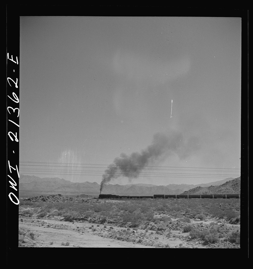
Delano, Jack, 1943. Library of Congress
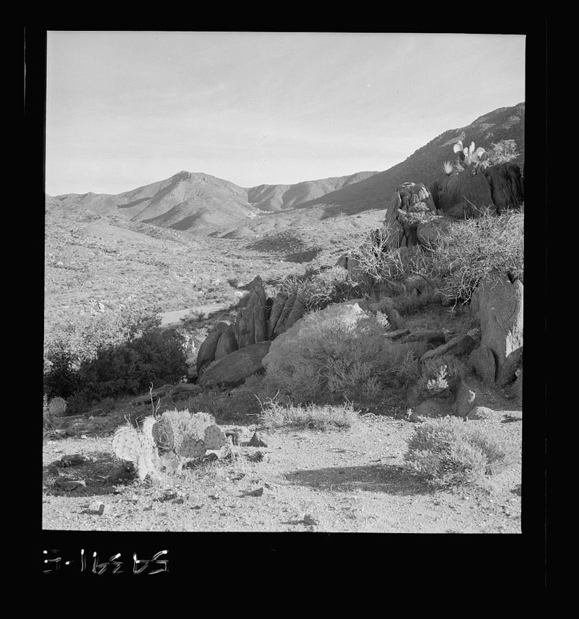
Henle, Fritz, 1942. Library of Congress
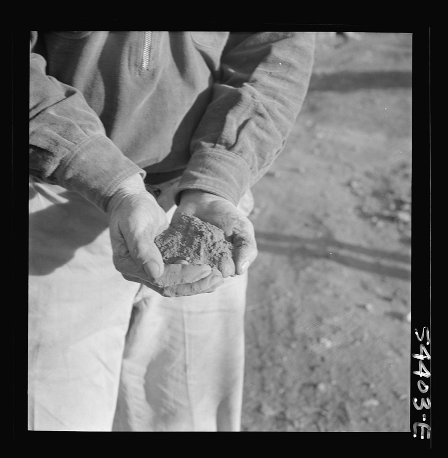
Henle, Fritz, 1942. Library of Congress
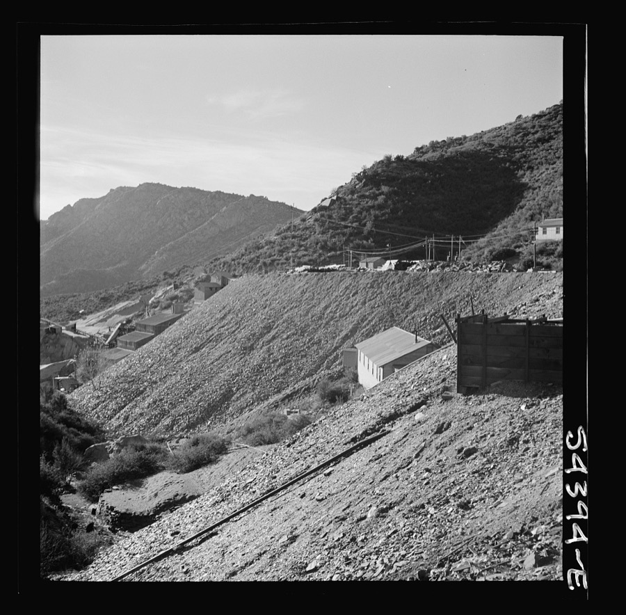
Henle, Fritz, 1942. Library of Congress
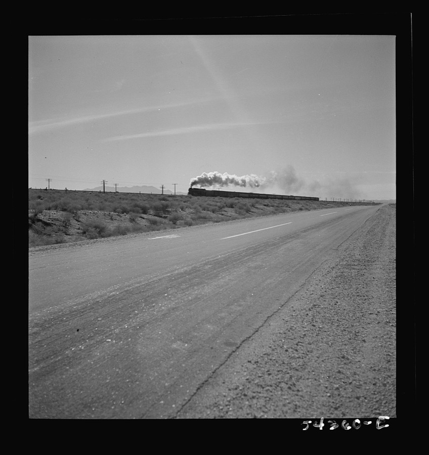
Henle, Fritz, 1942. Library of Congress
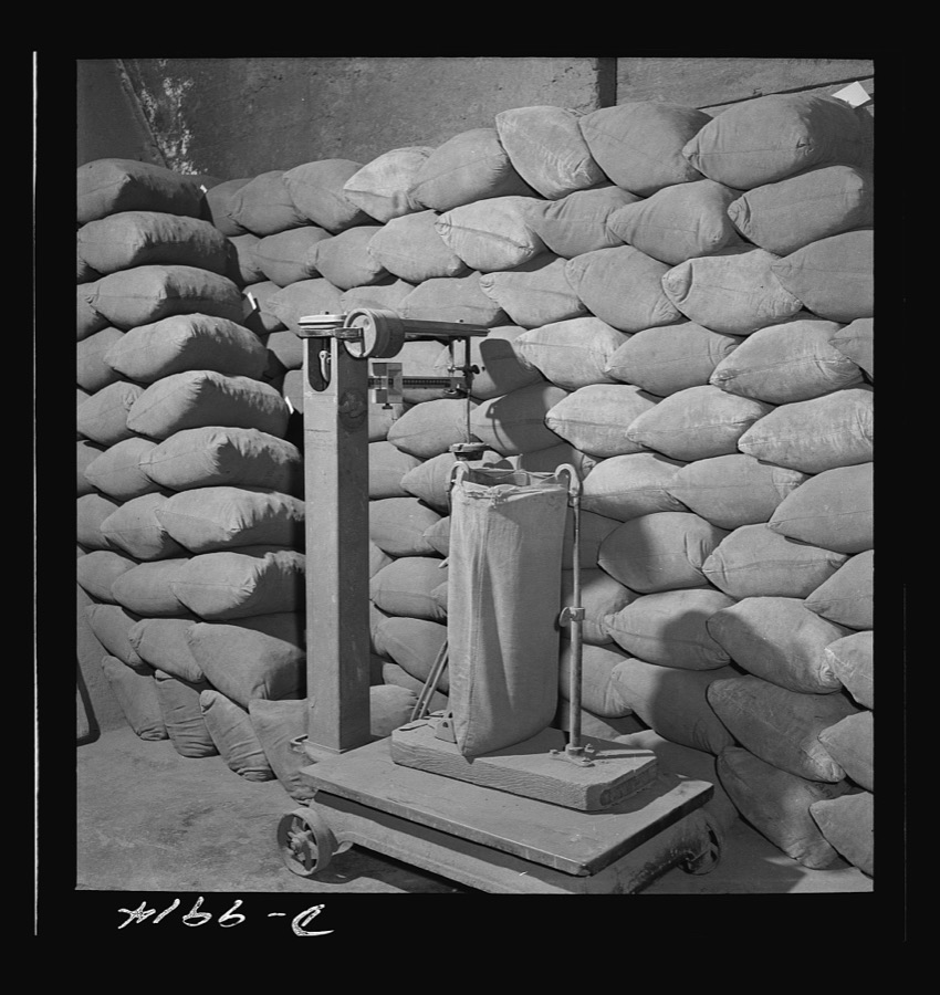
Henle, Fritz, 1942. Library of Congress
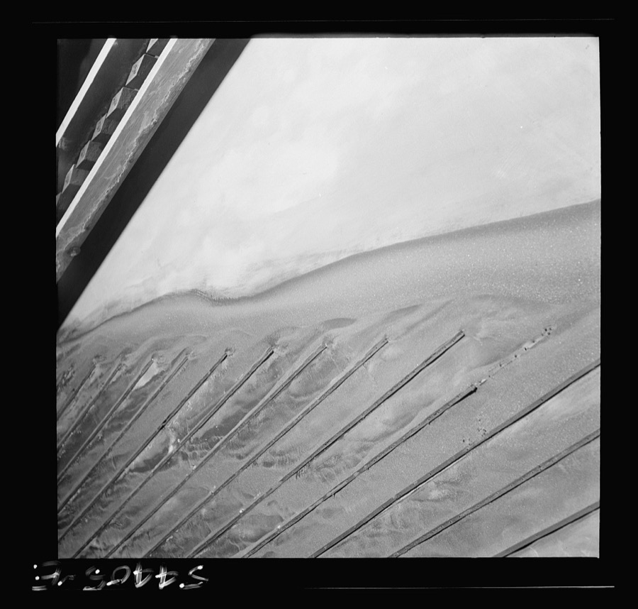
Henle, Fritz, 1942. Library of Congress
Every photograph of Mohave County
Fires near this place
394 since 1993Regional context, not property-specific evidence. The federal wildfire occurrence database lists 394 fires within 5 miles of Kingman between 1993 and 2020, burning about 2,455 acres in total. 12 started naturally. 7 were recorded as arson. Distance is straight-line from the map coordinates, so a fire counted here may appear on a neighbouring settlement's page as well.
| Reported cause | Fires |
|---|---|
| Missing data/not specified/undetermined | 321 |
| Equipment and vehicle use | 22 |
| Railroad operations and maintenance | 18 |
| Natural | 12 |
| Arson/incendiarism | 7 |
| Smoking | 6 |
| Debris and open burning | 3 |
| Misuse of fire by a minor | 3 |
| Power generation/transmission/distribution | 2 |
The most recent of them, most recent first, with the day each was reported and the service that recorded it.
| Date | Cause | Size | Reported by | Name on the report |
|---|---|---|---|---|
| 9 September 2005 | Missing data/not specified/undetermined | 15 acres | Arizona Department of Forestry and Fire Management - State Office | KING SLAUGHTER |
| 8 September 2019 | Missing data/not specified/undetermined | 1.0 acres | Kingman Fire Department | NOT NAMED |
| 8 September 2011 | Missing data/not specified/undetermined | under an acre | Arizona Department of Forestry and Fire Management - State Office | TRACKS |
| 6 September 2019 | Missing data/not specified/undetermined | under an acre | Kingman Fire Department | NOT NAMED |
| 6 September 2018 | Missing data/not specified/undetermined | under an acre | Kingman Fire Department | 187097 |
| 5 September 2018 | Equipment and vehicle use | under an acre | Colorado River District | COYOTE HOLE |
| 5 September 2017 | Missing data/not specified/undetermined | under an acre | Kingman Fire Department | not named |
| 5 September 1994 | Natural | 1.0 acres | Phoenix District Office | SECRET |
Settlements close enough to share some of these fires:
Mines and quarries near this place
10 of 23 shownRegional context, not property-specific evidence. The federal mineral resources record lists 23 workings within 5 miles of Kingman: 7 unknowns, 6 producers, 5 past producers, 3 prospects. 6 still produce. What was taken out: Gold, Sand and Gravel, Construction, Feldspar, Silver. Distance is straight-line from the map coordinates, so a quarry counted here may appear on a neighbouring settlement's page as well.
| Where | Site | Commodity | Status | Recorded |
|---|---|---|---|---|
| Arizona Minerals | Feldspar, Silica | Producer | ||
| Boulder Creek Lode | Gold, Silver, Lead, Copper | Unknown | ||
| Mineral X | REE, Feldspar, Tantalum, Niobium (Columbium) | Occurrence | Feldspar, Fergusonite | |
| Mineral Xclaim | REE, Feldspar | Prospect | ||
| Silica Pit | Stone, Crushed/Broken | Producer | ||
| Bi-Metal Mine | Gold, Silver | Past Producer | 1907, 1908, 1950 | |
| Holy Moses Mine | Gold, Silver | Past Producer | ||
| Taylor Mill | Feldspar | Unknown | ||
| Taylor Mine | Feldspar | Producer | ||
| Gravel Pit #1 | Sand and Gravel, Construction | Unknown |
Storms near this place
60 of 111 shownRegional context, not property-specific evidence. The National Weather Service names Kingman in 111 storm reports between 1995 and 2025: 46 flash flood, 25 thunderstorm wind, 24 hail, 5 tornado. The reports record 1 death and 125 injuries. Each account below is quoted exactly as the forecast office filed it, from the NOAA Storm Events Database, and each date opens the federal record of that event.
| When | Event | Place named | Harm | What the report says |
|---|---|---|---|---|
| August 1997 | Flash Flood | Kingman | 1 killed, 4 hurt, $100,000 | no account filed |
| August 1997 | Flash Flood | Kingman | 116 hurt | no account filed |
| July 2002 | Thunderstorm Wind | Kingman | 4 hurt, $400,000 | Strong thunderstorm winds blew through Kingman destroying 16 homes and damaging 36. Most of the damaged and destroyed homes were mobile homes in the Kingman Shadows subdivision. Four people recieved minor injuries from flying debris. Several powerlines were also blown down knocking out power to an estimated 3,000 to 4,000 people. |
| August 2001 | Thunderstorm Wind | Kingman | 1 hurt, $100,000 | The Kingman ASOS reported a wind gust to 70 mph which caused property damage to portions of Kingman. The storm also caused damage to numerous homes with roofs being torn off many. The strong winds also flipped an unoccupied mobile home. The storm also caused a brick to slam through a vehicle's window striking a teenager in the head causing minor injuries. |
| August 2007 | Flash Flood | Kingman | $2,000,000 | Several roads were closed and/or damaged by flooding, including U.S. Highway 93 20 miles north of Wikieup, Stockton Hills Rd. in the Kingman area, and Antares Rd. and Diamond Bar Rd. north of Kingman. |
| July 2014 | Flash Flood | Kingman | $300,000 | Flash flooding in Kingman left numerous roads impassable on the north side of town, caused minor damage to 20 homes, and necessitated six swift water rescues. |
| January 2010 | Thunderstorm Wind | Kingman | $200,000 | Thunderstorm winds snapped 20 power poles, bent several stop signs at 45 degree angles, and tore a carport off a home and wrapped it around a utility pole. A spotter measured a gust of 101 mph. |
| July 2014 | Thunderstorm Wind | Kingman | $150,000 | Thunderstorm winds blew down numerous large trees and at least 10 power poles and power lines, and blew the roof off a shed. |
| August 2022 | Heavy Rain | Kingman | $100,000 | Heavy rain caved in the roof of the Safeway store. |
| October 2021 | Thunderstorm Wind | Kingman | $100,000 | Thunderstorm winds blew down trees and power lines across the city of Kingman. |
| June 1997 | Thunderstorm Wind | Kingman | $100,000 | Damaging thunderstorm winds whipped through Kingman tearing half the roof from a motel and downing several trees and power poles. |
| August 1997 | Thunderstorm Wind | Kingman | $75,000 | Damaging winds ripped part of a roof off a house, downed several trees and knocked over a fence. Although the exact time was not known, a Skywarn Spotter also recorded a 75 mph thunderstorm gust that occurred sometime between 5:30 and 8:00 pm MST. Other events that occurred between 6 and 8 pm MST included power outages, a roof blown off a fitness center, apartment parking awnings mangled and street signs blown over and bent. |
| July 2013 | Flash Flood | Kingman | $50,000 | At least three cars were stuck in water, with water lapping over the hoods. Water and debris flowed over several roads, and one swift water rescue took place. Three rain gages in the area measured 2 to 2.5 inches of rain in two hours. |
| September 2007 | Lightning | Kingman | $50,000 | Lightning set fire to a drug store. |
| August 2003 | Flash Flood | Kingman | $50,000 | Moderate to intense rain caused flash flooding in Kingman. Two people became trapped in their vehicles after becoming stuck under a bridge. |
| November 1996 | Flash Flood | Kingman | $50,000 | no account filed |
| July 2018 | Thunderstorm Wind | Kingman | $25,000 | Thunderstorm winds damaged the roof of a motel, blew down many tree limbs, and uprooted newly planted trees. |
| July 2012 | Lightning | Kingman | $25,000 | Lightning knocked out power to 2260 customers in the Kingman area. |
| September 2015 | Lightning | Kingman | $20,000 | Lightning struck two transformers, knocking out power to about a quarter of Kingman. |
| September 2017 | Thunderstorm Wind | Kingman | $15,000 | The peak gust was measured in Chloride. A power pole was blown down in Kingman, knocking out power to about 12,000 customers. Dense blowing dust and shingle damage were reported 11 miles NNW of Dolan Springs. Severe outflow winds eventually spread as far as Bullhead City and Tweeds Point. |
| September 1999 | Flash Flood | Kingman | $15,000 | Heavy rainfall in the Kingman area caused area washes to flood. Several cars were caught in flood waters and at least one swift water rescue was performed. |
| July 1999 | Thunderstorm Wind | Kingman | $15,000 | The Mohave County Sheriff's Office reported a roof was torn from a house in Kingman by thunderstorm winds. |
| July 2002 | Thunderstorm Wind | Kingman | $10,000 | Strong winds from thunderstorms pushed through Kingman knocking down powerlines causing minor roof damage to several homes around town. A 3-foot diameter tree was also knocked down by the winds. |
| August 1997 | Flash Flood | Kingman | $10,000 | A Skywarn Spotter reported several roads around Kingman eroded and damaged and one road completely washed out. Many locations around the city had up to a foot of standing water. |
| August 1997 | Flash Flood | Kingman | $10,000 | no account filed |
| November 1996 | Tornado (F0) | Kingman | $10,000 | no account filed |
| September 1996 | Thunderstorm Wind | Kingman | $10,000 | no account filed |
| August 1998 | Lightning | Kingman | $8,000 | no account filed |
| July 2008 | Thunderstorm Wind | Kingman | $5,000 | Thunderstorm winds blew down wooden fences and a satellite dish, and ripped the roof off a mobile home garage in Kingman. |
| August 2000 | Lightning | Kingman | $5,000 | Several transformers and power poles were damaged in Kingman due to several lightning strikes from thunderstorms that rolled through the area. |
| September 2025 | Flash Flood | Kingman | $2,000 | The intersection of Harrison and Pasadena was flooded with water and debris and was impassable. |
| August 2022 | Flash Flood | Kingman | $2,000 | Two roads were flooded and impassable. |
| October 2018 | Flash Flood | Kingman | $2,000 | Water, rocks, and debris were over the intersection of Andy Devine Road and Beale Street. |
| July 2014 | Flash Flood | Kingman | $2,000 | Water over six inches deep flowed down streets near downtown Kingman, and a rockslide closed Andy Devine Avenue near Chadwick Drive. |
| July 2014 | Flash Flood | Kingman | $2,000 | A rockslide occurred along Interstate 40 between mile markers 47 and 48. The interstate itself was not affected. |
| August 2014 | Flash Flood | Kingman | $2,000 | Many streets in central Kingman were closed due to flooding. |
| March 1998 | Thunderstorm Wind | Kingman | $2,000 | no account filed |
| August 2022 | Flash Flood | Kingman | $1,000 | Hualapai Mountain Road was flooded near mile marker 5. |
| August 2022 | Flash Flood | Kingman | $1,000 | Hualapai Mountain Road was closed from mile marker 4.5 to the ranger station. |
| August 2018 | Flash Flood | Kingman | $1,000 | Water flowed a foot deep along Stockton Hill Road near Andy Devine Avenue. |
| October 2018 | Flash Flood | Kingman | $1,000 | Anson Smith Road was closed. |
| October 2018 | Flash Flood | Kingman | $1,000 | Hualapai Mountain Road was flooded between Stockton Hill Road and Central St. |
| October 2018 | Flash Flood | Kingman | $1,000 | Four swift water rescues occurred in the Mohave Wash. |
| October 2018 | Flash Flood | Kingman | $1,000 | The I-40 off ramp to Beale Street was impassable. |
| August 2016 | Flash Flood | Kingman | $1,000 | Flowing water covered portions of Beale Street and Andy Devine Avenue, as well as the nearby sidewalks. |
| July 2014 | Flash Flood | Kingman | $1,000 | Water was up to car doors in downtown Kingman. |
| July 2013 | Thunderstorm Wind | Kingman | $1,000 | Thunderstorm winds tore an awning off a mobile home. |
| July 2013 | Thunderstorm Wind | Kingman | $1,000 | Tree limbs 2-4 inches in diameter were blown down. |
| September 2013 | Flash Flood | Kingman | $1,000 | A foot of water flowed across Beale Street near First Street. |
| August 2012 | Flash Flood | Kingman | $1,000 | Three inches of water along with small rocks flowed through the intersection of Hualapai Mountain Road and Eastern Street. |
| March 1998 | Thunderstorm Wind | Kingman | $1,000 | no account filed |
| August 1997 | Hail | Kingman | $400 | A Skywarn Spotter reported dime-sized hail which caused minor damage to his house. |
| October 2010 | Flash Flood | Kingman | $100 | Six to eight inches of water flowed through the intersection of Louise Ave. and Stockton Hill Rd. |
| July 2018 | Flood | Kingman | - | Four inches of water flowed over Hualapai Mountain Road between Mission Blvd and Slaughterhouse Canyon. |
| July 2014 | Hail | Kingman | - | Hail up to nickel size fell with the same storm which produced the damaging winds and flash flooding. |
| July 2014 | Heavy Rain | Kingman | - | A car crash on Highway 68 in heavy rain conditions killed one and injured three (indirect). |
| October 2014 | Heavy Rain | Kingman | - | Heavy rain caused water four to five inches deep to flow over several streets in Kingman. |
| January 2010 | Flash Flood | Kingman | - | Several roads in Kingman were closed due to flooding. |
| January 2010 | Flash Flood | Kingman | - | A spotter reported that a driveway was washed out and four to six inches of water flowed down some streets. |
| February 2008 | Hail | Kingman | - | Dime size hail fell in Golden Valley, along with heavy rain which left standing water in the roads. |
Newspapers printed here
2,597 digitised pages1 paper published in this town, digitised by the Library of Congress and free to read: 227 issues, 2,597 pages. Every page is searchable, so a name or a street can be looked for directly in what the town printed about itself at the time.
| Newspaper | Published |
|---|---|
| Mohave County Miner and Our Mineral Wealth | 1918 to 1922 |
What the paper printed
13,532 wordsFront pages of the local paper, read from the Library of Congress scans: 5 issues spread across its run from 1918 to 1922, 13,532 words in total. Each is reproduced on its own page, exactly as the recogniser returned it.
These pages read less well than anything else here, and the number is worth stating: about three words in four come through cleanly, against nine in ten for the building records. An 1896 broadsheet sets eight-point type in seven columns on microfilm, which is the hardest thing in this archive to read by machine. We tested our own recognisers against the Library's and they were not better, so the Library's text is what appears, with the wholly unreadable columns removed. Read it as a guide to what the paper covered, and follow the link to the scan before quoting anything.
| Issue | Paper | Length |
|---|---|---|
| 1918-08-17 | Mohave County Miner and Our Mineral Wealth | 3,763 words |
| 1918-09-21 | Mohave County Miner and Our Mineral Wealth | 3,741 words |
| 1918-11-02 | Mohave County Miner and Our Mineral Wealth | 3,353 words |
| 1918-12-07 | Mohave County Miner and Our Mineral Wealth | 1,181 words |
| 1922-12-01 | Mohave County Miner and Our Mineral Wealth | 1,494 words |
Nearest settlements
The eight closest, with where each one stands in the county. Distances are straight-line, computed from the Geographic Names Information System coordinates.
Elsewhere
Matched on this settlement's Geographic Names Information System number rather than its name, so it cannot be a different place of the same name in another state.
| Wikipedia article on Kingman | An encyclopaedic summary. Its text is share-alike, so it is linked here rather than copied. |
| Wikidata item Q79733 | The structured record the population and elevation above come from. Public domain (CC0). |
Provenance
This settlement is recorded in the Geographic Names Information System as feature 6704. The sheet list is computed by point-in-boundary test against the United States Geological Survey's historical topographic inventory. Both are works of the United States government and carry no copyright under 17 U.S.C. 105.
Wildfire. Short, Karen C. 2022. Spatial wildfire occurrence data for the United States, 1992-2020 [FPA_FOD_20221014]. 6th Edition. Fort Collins, CO: Forest Service Research Data Archive. https://doi.org/10.2737/RDS-2013-0009.6 Collected with United States Government funding and usable without additional permissions or fees.
Mines and quarries. USGS Mineral Resources Data System (MRDS) https://mrdata.usgs.gov/mrds/ A work of the United States government, no copyright under 17 U.S.C. 105.
Storms. NOAA National Centers for Environmental Information, Storm Events Database https://www.ncei.noaa.gov/stormevents/ A work of the United States government, no copyright under 17 U.S.C. 105. Narratives are quoted verbatim from the National Weather Service report and are not edited or summarised.