 Block
Las Guijas, Arizona
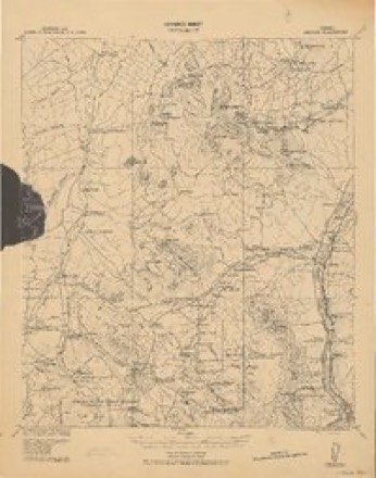
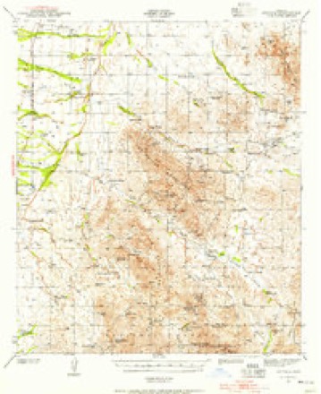
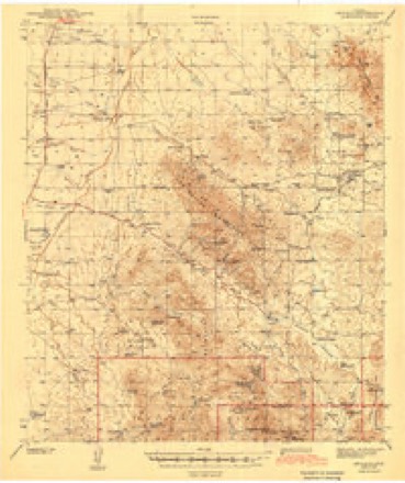
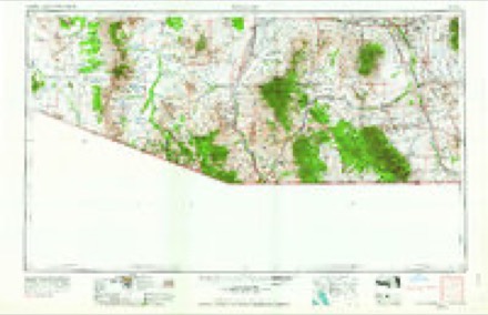
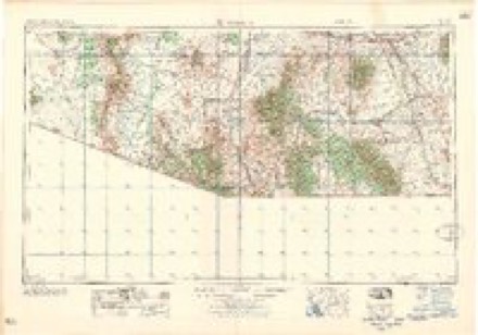
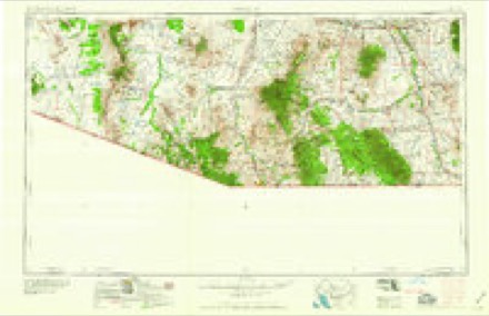
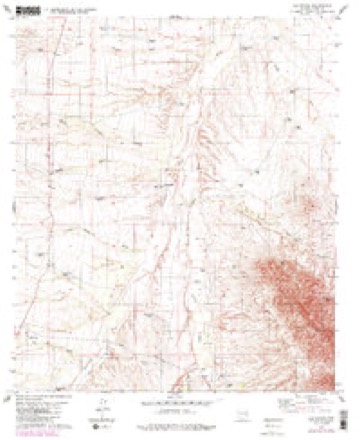
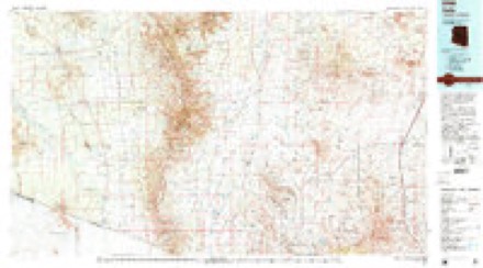
16 topographic sheets cover this place, the earliest surveyed in 1920 and the latest in 1994. It stands in the Arivaca census division. It lies in ZIP code area 85601. The Survey maps it on the Las Guijas quadrangle.
Topographic sheets covering this place
8 surveys from 16 printed sheetsMatched by testing this settlement's coordinate against the published boundary of every sheet in the United States Geological Survey's historical collection. Each opens the scanned sheet at the Survey.
- 1920 USGS Arivaca quadrangle1:125000
- 1941 USGS Arivaca quadrangle1:62500, 2 printings
- 1943 USGS Arivaca quadrangle1:62500, 3 printings
- 1956 USGS Nogales quadrangle1:250000, 4 printings
- 1958 USGS Nogales quadrangle1:250000
- 1959 USGS Nogales quadrangle1:250000
- 1979 USGS Las Guijas quadrangle1:24000, 2 printings
- 1994 USGS Sells quadrangle1:100000, 2 printings
Fires near this place
47 since 1992Regional context, not property-specific evidence. The federal wildfire occurrence database lists 47 fires within 5 miles of Las Guijas between 1992 and 2020, burning about 7,869 acres in total. 20 started naturally. 2 were recorded as arson. Distance is straight-line from the map coordinates, so a fire counted here may appear on a neighbouring settlement's page as well.
| Reported cause | Fires |
|---|---|
| Natural | 20 |
| Missing data/not specified/undetermined | 11 |
| Recreation and ceremony | 8 |
| Debris and open burning | 5 |
| Arson/incendiarism | 2 |
| Equipment and vehicle use | 1 |
The most recent of them, most recent first, with the day each was reported and the service that recorded it.
| Date | Cause | Size | Reported by | Name on the report |
|---|---|---|---|---|
| 28 September 2017 | Missing data/not specified/undetermined | 4.0 acres | Buenos Aires National Wildlife Refuge | SACATON TANK FIRE |
| 7 August 1995 | Natural | 3.0 acres | Buenos Aires National Wildlife Refuge | SACATON |
| 26 August 1997 | Natural | 8.0 acres | Buenos Aires National Wildlife Refuge | LAS GUIJAS |
| 2 August 1994 | Natural | 5.0 acres | Arizona Department of Forestry and Fire Management - State Office | not named |
| 17 August 1992 | Natural | 2.0 acres | Buenos Aires National Wildlife Refuge | SIERRITA |
| 15 August 2000 | Natural | under an acre | Buenos Aires National Wildlife Refuge | TEQUILA |
| 15 August 2000 | Missing data/not specified/undetermined | 2.0 acres | Arizona Department of Forestry and Fire Management - State Office | PENITAS |
| 15 August 2000 | Natural | 4.0 acres | Buenos Aires National Wildlife Refuge | TINITAS |
Settlements close enough to share some of these fires:
Mines and quarries near this place
10 of 66 shownRegional context, not property-specific evidence. The federal mineral resources record lists 66 workings within 5 miles of Las Guijas: 44 past producers, 11 producers, 6 occurrences, 3 unknowns. 11 still produce. What was taken out: Silver, Tungsten, Gold, Silver, Copper. Distance is straight-line from the map coordinates, so a quarry counted here may appear on a neighbouring settlement's page as well.
| Where | Site | Commodity | Status | Recorded |
|---|---|---|---|---|
| Albatross Mine | Gold, Lead, Silver, Zinc, Copper | Past Producer | ||
| Arivaca King Mine | Gold, Silver, Copper, Lead, Zinc | Past Producer | ||
| Backbone Mine | Silver, Gold, Lead, Zinc, Copper | Past Producer | ||
| Black Gold Mine | Tungsten, Copper, Zinc, Gold, Silver, Lead | Past Producer | 1936, 1940 | |
| Buena Vista Mine Group | Gold, Silver, Lead, Zinc, Copper | Past Producer | ||
| Buster Lode Prospect | Tungsten, Gold, Silver | Producer | Wolframite | |
| Carrasco | Silver, Copper, Gold, Lead | Past Producer | ||
| Centennial and Tungsten | Copper, Tungsten | Past Producer | ||
| Cerro Colorado | Zeolites | Occurrence | Clinoptilolite | |
| Elza | Gold, Lead, Copper, Silver | Past Producer |
Storms near this place
10 since 2007Regional context, not property-specific evidence. The National Weather Service names Las Guijas in 10 storm reports between 2007 and 2025: 6 flash flood, 3 thunderstorm wind, 1 lightning. The reports record 1 injury. Each account below is quoted exactly as the forecast office filed it, from the NOAA Storm Events Database, and each date opens the federal record of that event.
| When | Event | Place named | Harm | What the report says |
|---|---|---|---|---|
| February 2009 | Lightning | Las Guijas | 1 hurt | A suspected illegal immigrant in the Altar valley was struck by lightning and suffered minor injuries. |
| July 2025 | Flash Flood | Las Guijas | $500 | Report of 20-24 inches of standing water at HWY 286 near MM 23. |
| July 2023 | Thunderstorm Wind | Las Guijas | - | A thunderstorm wind gust to 62 mph was measured at the Sasabe RAWS site. |
| June 2022 | Flash Flood | Las Guijas | - | Heavy rain of 3-4 inches in 2 hours caused flash flooding across State Route 286 and 2-3 inches of rain caused flash flooding and the closure of Sasabe-Arivaca Road at mile post 2. |
| July 2021 | Flash Flood | Las Guijas | - | Two inches of rain in less than 1 hour caused extensive flooding of Arivaca Road between mile markers 10 and 16 with additional flash flooding farther north near Keystone Peak. |
| July 2021 | Thunderstorm Wind | Las Guijas | - | The Sasabe RAWS measured a wind gust of 66 mph. |
| July 2021 | Flash Flood | Las Guijas | - | More than 1 inch of rain in less than 1 hour fell along State Route 286 north of Santa Margarita Road west to the Baboquivari Mountains causing a number of washes to flow east across Route 286 two to three feet deep. |
| July 2019 | Thunderstorm Wind | Las Guijas | - | Sasabe RAWS measured a gust to 67 mph. |
| August 2011 | Flash Flood | Las Guijas | - | Heavy rainfall fell along Highway 286 in southern Pima County with rainfall amounts up to 2.5 inches. This resulted in the flooding and closure of Highway 286 for about an hour. |
| November 2007 | Flash Flood | Las Guijas | - | Twenty illegal entrants were rescued after being trapped by floodwaters on an embankment 20 miles south of Three Points. In addition, the area near milepost 25 on Arizona 286 became impassable. |
Nearest settlements
The eight closest, with where each one stands in the county. Distances are straight-line, computed from the Geographic Names Information System coordinates.
| Map | Place | Distance | Sheets |
|---|---|---|---|
| Secundino | 3.6 miles | 16 | |
| Arivaca | 7.1 miles | 17 | |
| Puertocito | 7.4 miles | 18 | |
| Sandwash Mill | 13.1 miles | 20 | |
| Chutum Vaya | 14.4 miles | 16 | |
| Sasabe | 15.1 miles | 12 | |
| Sapano Vaya | 15.7 miles | 17 | |
| Kuit Vaya | 15.9 miles | 16 |
Provenance
This settlement is recorded in the Geographic Names Information System as feature 24489. The sheet list is computed by point-in-boundary test against the United States Geological Survey's historical topographic inventory. Both are works of the United States government and carry no copyright under 17 U.S.C. 105.
Wildfire. Short, Karen C. 2022. Spatial wildfire occurrence data for the United States, 1992-2020 [FPA_FOD_20221014]. 6th Edition. Fort Collins, CO: Forest Service Research Data Archive. https://doi.org/10.2737/RDS-2013-0009.6 Collected with United States Government funding and usable without additional permissions or fees.
Mines and quarries. USGS Mineral Resources Data System (MRDS) https://mrdata.usgs.gov/mrds/ A work of the United States government, no copyright under 17 U.S.C. 105.
Storms. NOAA National Centers for Environmental Information, Storm Events Database https://www.ncei.noaa.gov/stormevents/ A work of the United States government, no copyright under 17 U.S.C. 105. Narratives are quoted verbatim from the National Weather Service report and are not edited or summarised.