 Block
Meadview, Arizona
21 topographic sheets cover this place, the earliest surveyed in 1886 and the latest in 1987. It stands in the Kingman census division. It lies in ZIP code area 86444. The Survey maps it on the Meadview North quadrangle. 1,420 people lived here at the 2020 count. It stands 2,986 feet above sea level.
Population over time
2 figuresMeadview grew from 1,224 to 1,420 between 2010 and 2020. These are the recorded population figures Wikidata holds for this place, reached through the Geographic Names Information System number this page is keyed on rather than by name, so they belong to this place and not to another of the same name. Most are census counts, but not all are: an early figure may be a founding or settlement estimate, and an estimate published within five years of a census is left out. The change column is computed, and is left blank where more than 20 years separate a figure from the one before it, because a gap that long is not a change between two counts.
| Year | People | Change |
|---|---|---|
| 2010 | 1,224 | |
| 2020 | 1,420 | +196 (+16%) |
Topographic sheets covering this place
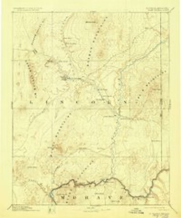
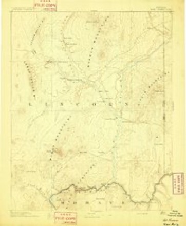
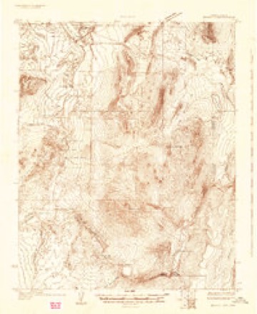
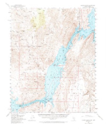
10 surveys from 21 printed sheetsMatched by testing this settlement's coordinate against the published boundary of every sheet in the United States Geological Survey's historical collection. Each opens the scanned sheet at the Survey.
- 1886 USGS Saint Thomas quadrangle1:250000, 6 printings
- 1893 USGS Saint Thomas quadrangle1:250000
- 1926 USGS Bonelli quadrangle1:96000
- 1953 USGS Iceberg Canyon quadrangle1:62500, 3 printings
- 1954 USGS Las Vegas quadrangle1:250000, 5 printings
- 1957 USGS Las Vegas quadrangle1:250000
- 1959 USGS Las Vegas quadrangle1:250000
- 1962 USGS Las Vegas quadrangle1:250000
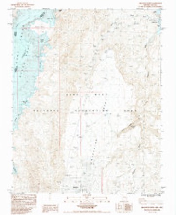
- 1984 USGS Meadview North quadrangle1:24000
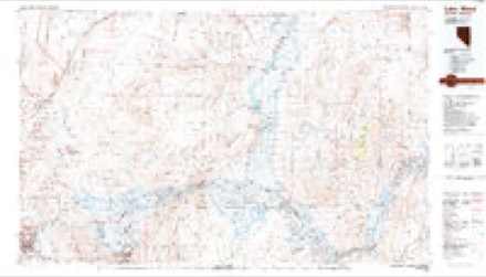
- 1987 USGS Lake Mead quadrangle1:100000
Fires near this place
23 since 1992Regional context, not property-specific evidence. The federal wildfire occurrence database lists 23 fires within 5 miles of Meadview between 1992 and 2020, burning about 6,458 acres in total. 11 started naturally. None was recorded as arson. Distance is straight-line from the map coordinates, so a fire counted here may appear on a neighbouring settlement's page as well.
| Reported cause | Fires |
|---|---|
| Natural | 11 |
| Equipment and vehicle use | 6 |
| Missing data/not specified/undetermined | 5 |
| Debris and open burning | 1 |
The most recent of them, most recent first, with the day each was reported and the service that recorded it.
| Date | Cause | Size | Reported by | Name on the report |
|---|---|---|---|---|
| 6 August 2020 | Equipment and vehicle use | under an acre | Colorado River District | KING TUT ASSIST |
| 6 August 2020 | Equipment and vehicle use | under an acre | Lake Mead National Recreation Area | MEADVIEW |
| 31 August 2019 | Equipment and vehicle use | under an acre | Lake Mead National Recreation Area | PIERCE FERRY |
| 27 August 2020 | Missing data/not specified/undetermined | under an acre | Arizona Department of Forestry and Fire Management - State Office | not named |
| 25 August 2000 | Natural | under an acre | Lake Mead National Recreation Area | GRAPE |
| 18 August 2006 | Missing data/not specified/undetermined | under an acre | Arizona Department of Forestry and Fire Management - State Office | DEEP |
| 16 August 2000 | Natural | under an acre | Lake Mead National Recreation Area | MILE 42 |
| 16 August 2000 | Natural | under an acre | Lake Mead National Recreation Area | MILE 43 |
Settlements close enough to share some of these fires:
Mines and quarries near this place
10 within 5 milesRegional context, not property-specific evidence. The federal mineral resources record lists 10 workings within 5 miles of Meadview: 7 occurrences, 2 past producers, 1 prospect. None of them still produces. What was taken out: Gold, Gold, Tungsten, Silver, Zinc, Fluorine-Fluorite, Molybdenum, Vanadium, Lead. Distance is straight-line from the map coordinates, so a quarry counted here may appear on a neighbouring settlement's page as well.
| Where | Site | Commodity | Status | Recorded |
|---|---|---|---|---|
| Climax Mine | Gold, Silver, Zinc, Fluorine-Fluorite, Molybdenum, Vanadium, Lead | Past Producer | Gold, Wulfenite | |
| Kissee-Mitchell Lease | Uranium, Manganese | Occurrence | Carnotite, Manganite, Psilomelane | |
| Midget | Gold, Copper, Lead | Prospect | ||
| Golden Nugget | Gold, Tungsten | Occurrence | ||
| Queen Tut | Gold, Tungsten | Occurrence | ||
| Climax | Gold | Occurrence | ||
| Hublapai Valley Placers | Gold | Occurrence | ||
| Manhatan | Gold | Past Producer | ||
| Oro Rico Placers | Gold | Occurrence | ||
| Robeson and Joy | Gold | Occurrence |
Storms near this place
37 since 2008Regional context, not property-specific evidence. The National Weather Service names Meadview in 37 storm reports between 2008 and 2025: 24 flash flood, 10 thunderstorm wind, 1 lightning, 1 debris flow. The reports record 1 injury. Each account below is quoted exactly as the forecast office filed it, from the NOAA Storm Events Database, and each date opens the federal record of that event.
| When | Event | Place named | Harm | What the report says |
|---|---|---|---|---|
| July 2012 | Thunderstorm Wind | Meadview | 1 hurt | Strong winds knocked a man down an outdoor flight of stairs, injuring his head. |
| October 2025 | Flash Flood | Meadview | $25,000 | Flash flooding washed out multiple water lines in Meadview overnight, leaving some customers without water until the next day. |
| August 2010 | Thunderstorm Wind | Meadview | $20,000 | A firefighter and a motel employee nearby both estimated 60 mph winds. A roof was torn off a mobile home, several power lines were blown down, and a Joshua tree was blown down. Hail up to dime size also fell. |
| August 2010 | Flash Flood | Meadview | $10,000 | Water up to two and a half feet deep flowed across roads, washed out a driveway, and also took out several signs and shrubs. A rain gage nearby measured 2.76 inches of rain in one hour. |
| September 2025 | Flash Flood | Meadview | $5,000 | Flash flooding with rapidly flowing water over the roadway along Sandy Point Drive near West Meadview Boulevard in Meadview. The road was undercut by water and exhibiting erosion beneath it. |
| August 2018 | Flash Flood | Meadview | $5,000 | The access road from Pierce Ferry Road to South Cove was washed out, with rafters and equipment stranded on the river side of the flood. |
| July 2017 | Flash Flood | Meadview | $5,000 | A tour bus was stuck when Pierce Ferry Road was flooded by a wash. |
| July 2014 | Flash Flood | Meadview | $5,000 | Several roads were flooded and impassable in Meadview. |
| August 2010 | Flash Flood | Meadview | $5,000 | Over two feet of water flowed across Pierce Ferry Road. |
| September 2025 | Flash Flood | Meadview | $2,000 | The public reported fast-flowing water and mud crossing over Glen Road just east of Pierce Ferry Road in Meadview. |
| September 2022 | Debris Flow | Meadview | $2,000 | A mudslide closed Diamond Bar Rd. |
| July 2021 | Flash Flood | Meadview | $2,000 | Spencer Drive in Meadview was flooded and covered with mud. |
| July 2017 | Flash Flood | Meadview | $2,000 | Flash flooding blocked Gregg's Hideout Road, trapping cars. |
| July 2014 | Thunderstorm Wind | Meadview | $2,000 | A fruit stand was destroyed and a window was blown out of a business. |
| July 2011 | Thunderstorm Wind | Meadview | $2,000 | Thunderstorm winds downed a power line near Smith Road and Rainbow Road in Lake Mead City. |
| July 2011 | Lightning | Meadview | $2,000 | Lightning sparked several brush fires near Lake Mead City. |
| October 2010 | Flash Flood | Meadview | $2,000 | Patterson Grade on Pierce Ferry Road was closed due to debris. 1.40 inches of rain fell at the spotter's location. |
| September 2025 | Flash Flood | Meadview | $1,000 | Pierce Ferry Road was flooded and closed at Grapevine Wash. |
| July 2022 | Flash Flood | Meadview | $1,000 | Greggs Hideout Rd was closed from Pierce Ferry Rd to mile marker 10. |
| August 2022 | Flash Flood | Meadview | $1,000 | Pierce Ferry Road was closed due to flooding. |
| August 2018 | Flash Flood | Meadview | $1,000 | Diamond Bar Road was closed from Pierce Ferry Road to the Grand Canyon Skywalk due to flash flooding. |
| June 2016 | Flash Flood | Meadview | $1,000 | A debris flow covered Diamond Bar Road. |
| July 2013 | Flash Flood | Meadview | $1,000 | Diamond Bar Road was closed due to flooding. |
| July 2011 | Flash Flood | Meadview | $1,000 | A spotter reported a six foot swath of water running across the road. |
| October 2010 | Flash Flood | Meadview | $1,000 | Diamond Bar Road was closed. |
| January 2010 | Flash Flood | Meadview | - | Diamond Bar Road was closed due to flooding. |
| July 2009 | Flash Flood | Meadview | - | A park ranger reported eight inches of water flowing over Meadview Blvd., and other roads were being blocked off due to flooding. |
| July 2009 | Flash Flood | Meadview | - | Flooding closed Diamond Bar Road from Pierce Ferry Road to the Hualapai Reservation. |
| September 2009 | Flash Flood | Meadview | - | Over a foot of flowing water covered the intersection of Pierce Ferry Rd. and Charles Dr. |
| August 2008 | Flash Flood | Meadview | - | Diamond Bar Road was closed due to flooding shortly after midnight. One lane reopened at 830 AM. |
| September 2025 | Hail | Meadview | - | no account filed |
| July 2024 | Thunderstorm Wind | Meadview | - | no account filed |
| July 2023 | Thunderstorm Wind | Meadview | - | no account filed |
| September 2023 | Thunderstorm Wind | Meadview | - | no account filed |
| July 2022 | Thunderstorm Wind | Meadview | - | no account filed |
| August 2022 | Thunderstorm Wind | Meadview | - | no account filed |
| June 2015 | Thunderstorm Wind | Meadview | - | no account filed |
Nearest settlements
The eight closest, with where each one stands in the county. Distances are straight-line, computed from the Geographic Names Information System coordinates.
| Map | Place | Distance | Sheets |
|---|---|---|---|
| South Cove | 6.3 miles | 21 | |
| Ray Place | 12.9 miles | 29 | |
| Cyclopic | 17.8 miles | 30 | |
| Bonelli Landing | 22.6 miles | 23 | |
| White Hills | 25.2 miles | 29 | |
| Oak Grove | 27.7 miles | 16 | |
| Dolan Springs | 30.3 miles | 29 | |
| Chloride | 41.1 miles | 32 |
Elsewhere
Matched on this settlement's Geographic Names Information System number rather than its name, so it cannot be a different place of the same name in another state.
| Wikipedia article on Meadview | An encyclopaedic summary. Its text is share-alike, so it is linked here rather than copied. |
| Wikidata item Q991152 | The structured record the population and elevation above come from. Public domain (CC0). |
Provenance
This settlement is recorded in the Geographic Names Information System as feature 43037. The sheet list is computed by point-in-boundary test against the United States Geological Survey's historical topographic inventory. Both are works of the United States government and carry no copyright under 17 U.S.C. 105.
Wildfire. Short, Karen C. 2022. Spatial wildfire occurrence data for the United States, 1992-2020 [FPA_FOD_20221014]. 6th Edition. Fort Collins, CO: Forest Service Research Data Archive. https://doi.org/10.2737/RDS-2013-0009.6 Collected with United States Government funding and usable without additional permissions or fees.
Mines and quarries. USGS Mineral Resources Data System (MRDS) https://mrdata.usgs.gov/mrds/ A work of the United States government, no copyright under 17 U.S.C. 105.
Storms. NOAA National Centers for Environmental Information, Storm Events Database https://www.ncei.noaa.gov/stormevents/ A work of the United States government, no copyright under 17 U.S.C. 105. Narratives are quoted verbatim from the National Weather Service report and are not edited or summarised.