 Block
BlockArcade, California
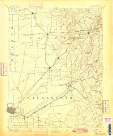
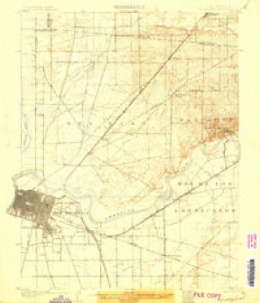
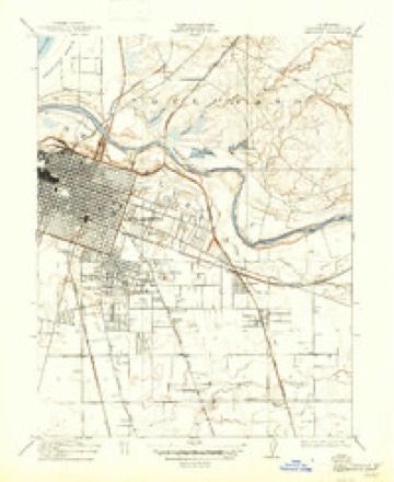
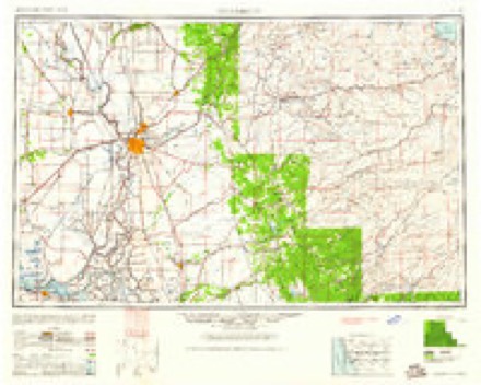
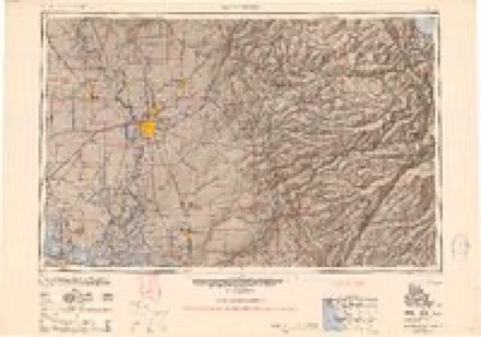
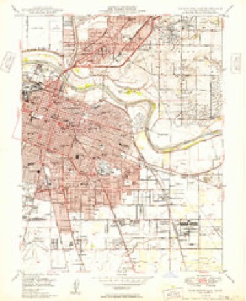
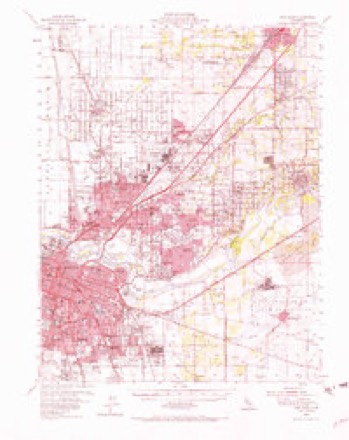
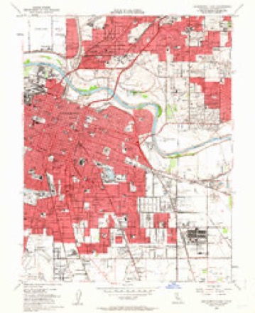
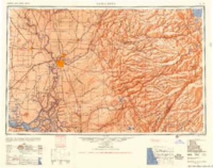
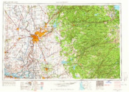
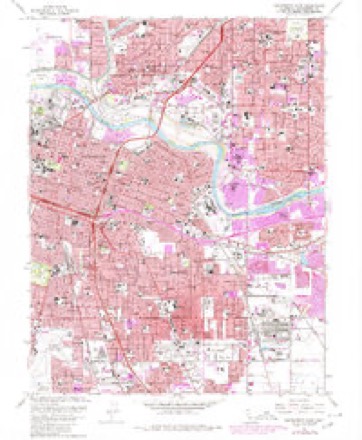
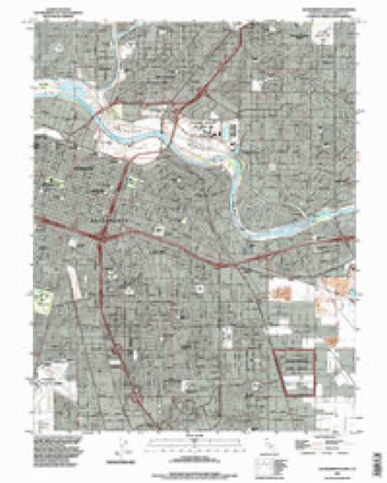
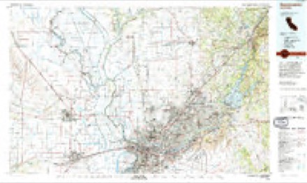
32 topographic sheets cover this place, the earliest surveyed in 1891 and the latest in 1994. It stands in the Sacramento census division. It lies in ZIP code area 95821. The Survey maps it on the Sacramento East quadrangle.
Then and now
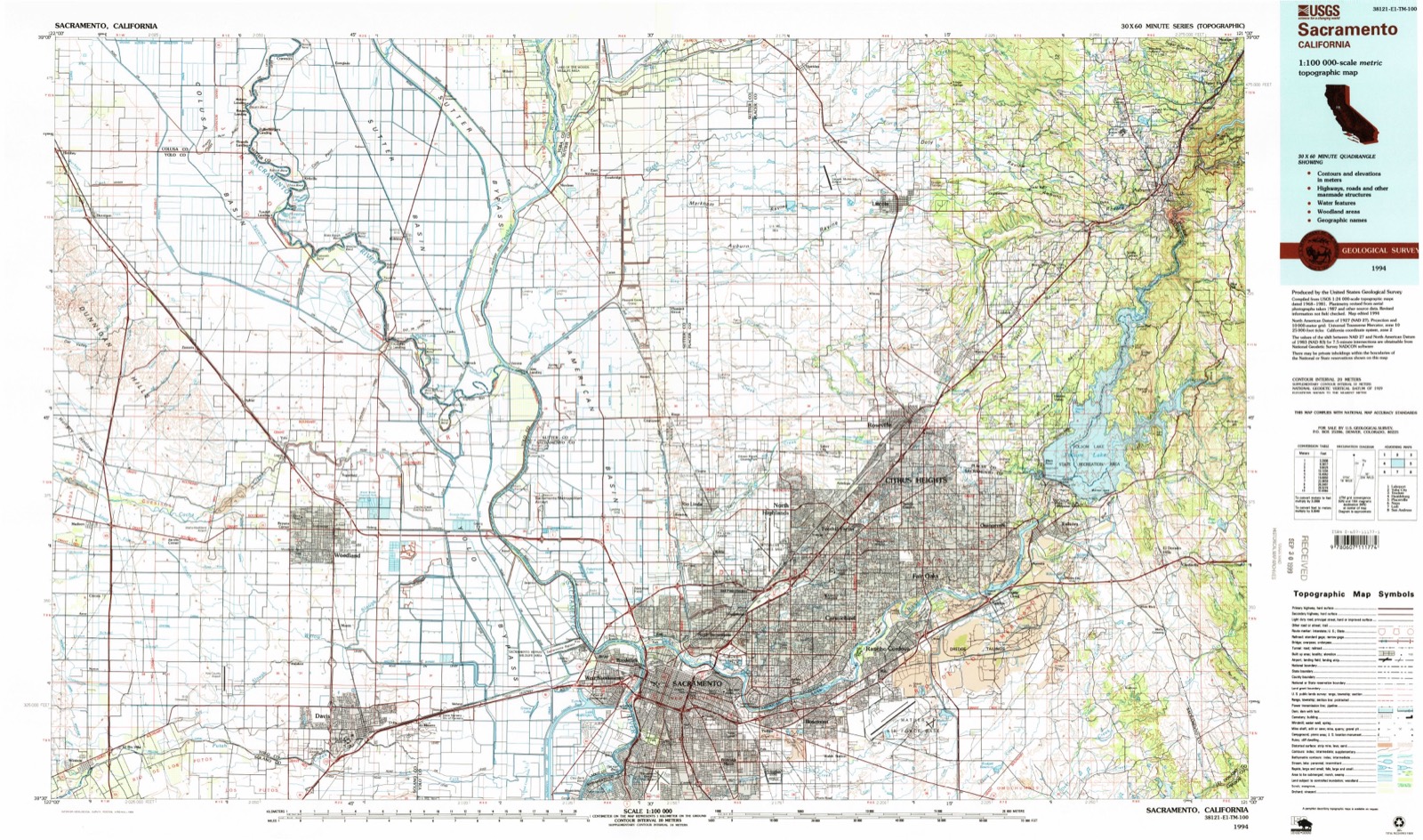
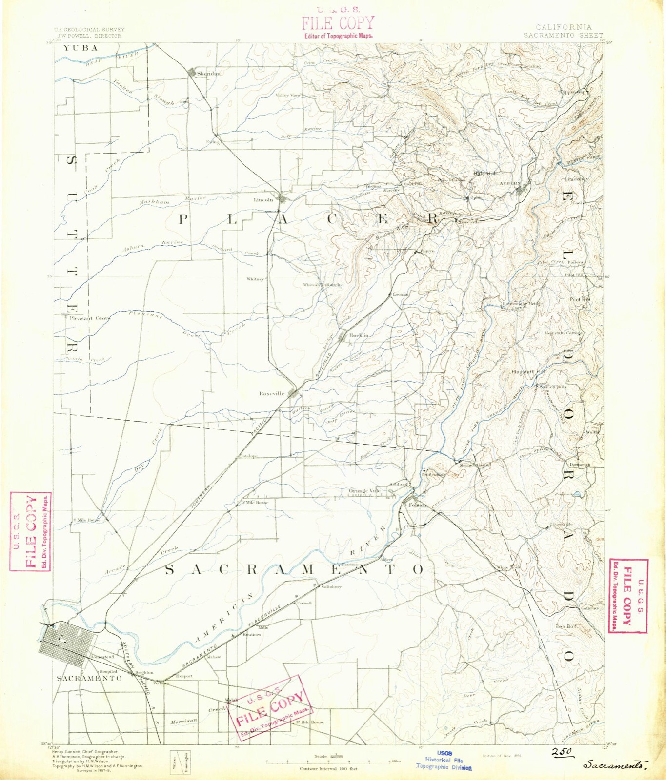
1891 to 1994The same ground, surveyed 103 years apart. Drag the handle to wipe between them. Both sheets are United States Geological Survey originals; neither has been altered.
Topographic sheets covering this place
15 surveys from 32 printed sheetsMatched by testing this settlement's coordinate against the published boundary of every sheet in the United States Geological Survey's historical collection. Each opens the scanned sheet at the Survey.
- 1891 USGS Sacramento quadrangle1:125000
- 1892 USGS Sacramento quadrangle1:125000, 5 printings
- 1893 USGS Sacramento quadrangle1:125000
- 1902 USGS Fairoaks quadrangle1:62500, 2 printings
- 1911 USGS Brighton quadrangle1:31680, 2 printings
- 1947 USGS Sacramento quadrangle1:250000, 2 printings
- 1948 USGS Sacramento quadrangle1:250000
- 1949 USGS Sacramento East quadrangle1:24000, 2 printings
- 1954 USGS Fair Oaks quadrangle1:62500, 2 printings
- 1954 USGS Sacramento East quadrangle1:24000, 2 printings
- 1956 USGS Sacramento quadrangle1:250000, 2 printings
- 1957 USGS Sacramento quadrangle1:250000, 4 printings
- 1967 USGS Sacramento East quadrangle1:24000, 3 printings
- 1992 USGS Sacramento East quadrangle1:24000
- 1994 USGS Sacramento quadrangle1:100000, 2 printings
Fires near this place
485 since 2005Regional context, not property-specific evidence. The federal wildfire occurrence database lists 485 fires within 5 miles of Arcade between 2005 and 2020, burning about 284 acres in total. 1 started naturally. 36 were recorded as arson. Distance is straight-line from the map coordinates, so a fire counted here may appear on a neighbouring settlement's page as well.
| Reported cause | Fires |
|---|---|
| Missing data/not specified/undetermined | 363 |
| Arson/incendiarism | 36 |
| Equipment and vehicle use | 31 |
| Misuse of fire by a minor | 30 |
| Smoking | 14 |
| Debris and open burning | 6 |
| Power generation/transmission/distribution | 3 |
| Natural | 1 |
| Railroad operations and maintenance | 1 |
The most recent of them, most recent first, with the day each was reported and the service that recorded it.
| Date | Cause | Size | Reported by | Name on the report |
|---|---|---|---|---|
| 9 September 2008 | Missing data/not specified/undetermined | under an acre | California Department of Forestry & Fire Protection | not named |
| 7 September 2019 | Misuse of fire by a minor | under an acre | Amador-El Dorado Unit | not named |
| 7 September 2009 | Missing data/not specified/undetermined | under an acre | California Department of Forestry & Fire Protection | not named |
| 6 September 2010 | Missing data/not specified/undetermined | under an acre | California Department of Forestry & Fire Protection | not named |
| 6 September 2010 | Arson/incendiarism | under an acre | California Department of Forestry & Fire Protection | not named |
| 6 September 2010 | Missing data/not specified/undetermined | under an acre | California Department of Forestry & Fire Protection | not named |
| 6 September 2008 | Arson/incendiarism | 20 acres | California Department of Forestry & Fire Protection | not named |
| 5 September 2020 | Missing data/not specified/undetermined | under an acre | Amador-El Dorado Unit | not named |
Settlements close enough to share some of these fires:
Mines and quarries near this place
10 of 28 shownRegional context, not property-specific evidence. The federal mineral resources record lists 28 workings within 5 miles of Arcade: 17 past producers, 7 producers, 2 prospects, 2 occurrences. 7 still produce. What was taken out: Sand and Gravel, Construction, Gold, Clay, Stone, Crushed/Broken, Sand and Gravel, Construction. Distance is straight-line from the map coordinates, so a quarry counted here may appear on a neighbouring settlement's page as well.
| Where | Site | Commodity | Status | Recorded |
|---|---|---|---|---|
| Del Paso Rock Products Co. | Gold, Stone, Crushed/Broken, Sand and Gravel, Construction | Past Producer | ||
| Haggin Gravel Co. | Sand and Gravel, Construction, Gold, Stone, Crushed/Broken | Past Producer | ||
| Harrison Fait | Clay | Past Producer | Sedimentary | |
| Harrison Fait | Clay | Past Producer | ||
| American River Placer Deposits | Gold | Producer | Placer | |
| American River Placer Deposits | Gold | Occurrence | ||
| Brighton Sand and Gravel Co. | Sand and Gravel, Construction, Gold | Past Producer | Sedimentary | |
| Brighton Sand and Gravel Co. | Sand and Gravel, Construction, Gold | Past Producer | ||
| Del Paso Rock Products Co. | Gold, Sand and Gravel, Construction | Past Producer | Sedimentary | |
| Haggin Gravel Co. | Sand and Gravel, Construction, Gold | Past Producer | Sedimentary |
Storms near this place
20 since 1998Regional context, not property-specific evidence. The National Weather Service names Arcade in 20 storm reports between 1998 and 2026: 17 flood, 1 tornado, 1 funnel cloud, 1 thunderstorm wind. No death or injury is recorded in these reports. Each account below is quoted exactly as the forecast office filed it, from the NOAA Storm Events Database, and each date opens the federal record of that event.
| When | Event | Place named | Harm | What the report says |
|---|---|---|---|---|
| September 2025 | Thunderstorm Wind | Arcade | $20,000 | Around 10 AM PDT on Tuesday, September 2, 2025, a decaying complex of showers and thunderstorms moved over the Carmichael area of the Sacramento metropolitan area in Sacramento County. It was determined that this caused a downburst of strong straight-line winds. Sporadic wind damage to trees and powerlines was noted along with several large mature trees that were uprooted and fell into homes. The damage swath was 2.5 miles long and 1.5 miles wide from American River College, northeast in the vicinity of a line from East Lawn Mortuary to Mercy San Juan Medical Center. Peak wind speeds were estimated around 70 miles per hour. |
| April 1998 | Tornado (F0) | Arcade | $10,000 | no account filed |
| April 2026 | Flood | Arcade | - | California Highway Patrol reported roadway flooding from heavy rain on Interstate 80 eastbound and Longview Drive. |
| April 2026 | Flood | Arcade | - | California Highway Patrol reported the Auburn Boulevard onramp to southbound 51/Business 80 had standing water in the roadway from heavy rain. |
| December 2025 | Flood | Arcade | - | California Highway Patrol reported the Business I-80 onramp at Auburn Boulevard was flooded. |
| January 2023 | Flood | Arcade | - | Caltrans District 3 reported flooding closed Westbound Interstate 80 between Longview Dr. & Winters St. |
| October 2023 | Flood | Arcade | - | Business 80 off ramp was reported flooded by the California Highway Patrol. |
| December 2022 | Flood | Arcade | - | Roadway flooding on the onramp to Highway 244 from Auburn Boulevard. |
| April 2020 | Flood | Arcade | - | California Highway Patrol reported roadway flooding near Whitney Avenue in Carmichael, CA. |
| April 2020 | Flood | Arcade | - | California Highway Patrol reported 8 inches of water flooding the roadway between Eastern Ave and Marconi Ave. |
| April 2020 | Flood | Arcade | - | California Highway Patrol reported 1 1/2 feet of water flowing across all lanes between Interstate 80 East and Auburn Boulevard near North Highlands. |
| February 2019 | Flood | Arcade | - | E I80 BY Longview Dr. flooded. |
| February 2019 | Flood | Arcade | - | On ramp at I-80 and Watt Ave. completely flooded. |
| February 2019 | Flood | Arcade | - | There were 6 inches of water in lane number 1 of Capitol City Freeway. |
| March 2017 | Flood | Arcade | - | CHP reported flooding on on-ramp to SR 51 by Auburn Blvd. Standing water in lane, bottom of the cloverleaf was flooded. |
| March 2017 | Flood | Arcade | - | Roadway flooding reported by CHP at Watt Ave. and Arden Way, Sacramento. |
| December 2016 | Flood | Arcade | - | Flooding caused a road closure on Eastern Road between Marconi and Robertson in Carmichael. |
| April 2015 | Funnel Cloud | Arcade | - | A possible funnel cloud was sited at Marconi Ave. and the Capital City Expressway. |
| December 2014 | Flood | Arcade | - | I-80 at Watt Ave. Eastbound Underpass had significant flooding due to heavy rain and pump failure. This resulted in major traffic backup, lasting several hours during evening rush hour. |
| May 2013 | Flood | Arcade | - | Redevelopment of thunderstorms that were producing torrential rainfall over the urban areas of Sacramento caused several instances of roadway flooding across the area. Law enforcement reported roadway flooding at Exposition Blvd and Heritage Lane with a vehicle stuck in the roadway, two vehicles stuck in water near Arden and Hwy 160, roadway flooding near Watt Ave and Marconi Ave, as well as roadway flooding at H Street and 37th Street. |
Nearest settlements
The eight closest, with where each one stands in the county. Distances are straight-line, computed from the Geographic Names Information System coordinates.
| Map | Place | Distance | Sheets |
|---|---|---|---|
| Town and Country Village | 1.1 miles | 32 | |
| Ben Ali | 2.2 miles | 32 | |
| Arden Town | 2.5 miles | 32 | |
| Del Paso Heights | 2.6 miles | 33 | |
| Hagginwood | 2.9 miles | 33 | |
| Swanston | 2.9 miles | 32 | |
| Carmichael | 2.9 miles | 35 | |
| La Riviera | 3.3 miles | 35 |
Provenance
This settlement is recorded in the Geographic Names Information System as feature 1666249. The sheet list is computed by point-in-boundary test against the United States Geological Survey's historical topographic inventory. Both are works of the United States government and carry no copyright under 17 U.S.C. 105.
Wildfire. Short, Karen C. 2022. Spatial wildfire occurrence data for the United States, 1992-2020 [FPA_FOD_20221014]. 6th Edition. Fort Collins, CO: Forest Service Research Data Archive. https://doi.org/10.2737/RDS-2013-0009.6 Collected with United States Government funding and usable without additional permissions or fees.
Mines and quarries. USGS Mineral Resources Data System (MRDS) https://mrdata.usgs.gov/mrds/ A work of the United States government, no copyright under 17 U.S.C. 105.
Storms. NOAA National Centers for Environmental Information, Storm Events Database https://www.ncei.noaa.gov/stormevents/ A work of the United States government, no copyright under 17 U.S.C. 105. Narratives are quoted verbatim from the National Weather Service report and are not edited or summarised.