 Block
BlockArtois, California
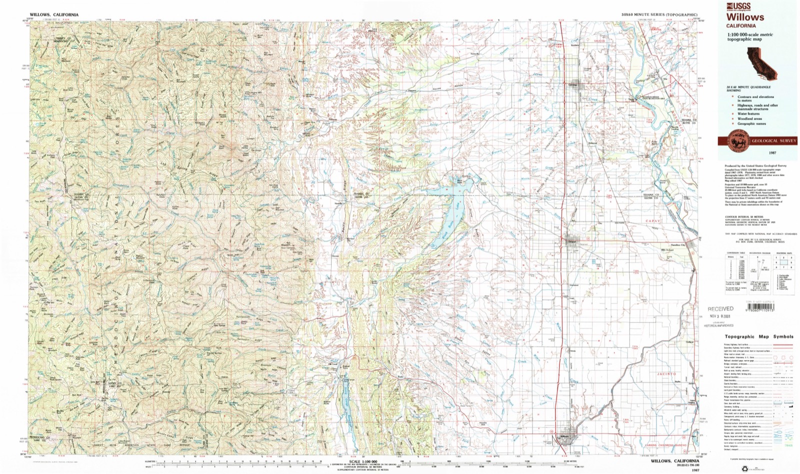
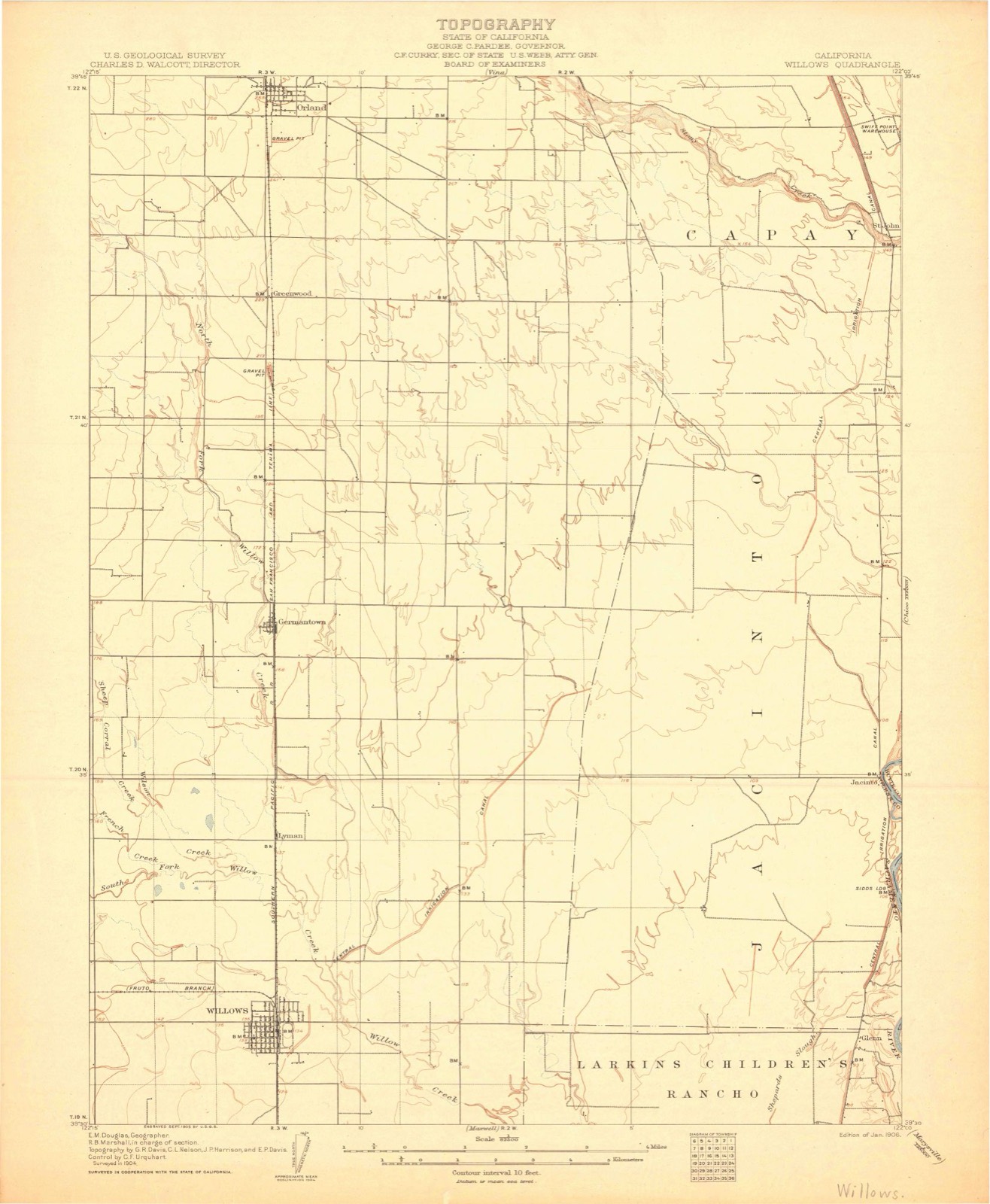
16 topographic sheets cover this place, the earliest surveyed in 1906 and the latest in 1987. It stands in the Willows census division. It lies in ZIP code area 95913. The Survey maps it on the Willows quadrangle. 295 people lived here at the 2020 count. It stands 167 feet above sea level.
Then and now
1906 to 1987The same ground, surveyed 81 years apart. Drag the handle to wipe between them. Both sheets are United States Geological Survey originals; neither has been altered.
Population over time
2 figuresArtois grew from 295 to 295 between 2010 and 2020. These are the recorded population figures Wikidata holds for this place, reached through the Geographic Names Information System number this page is keyed on rather than by name, so they belong to this place and not to another of the same name. Most are census counts, but not all are: an early figure may be a founding or settlement estimate, and an estimate published within five years of a census is left out. The change column is computed, and is left blank where more than 20 years separate a figure from the one before it, because a gap that long is not a change between two counts.
| Year | People | Change |
|---|---|---|
| 2010 | 295 | |
| 2020 | 295 | 0 (0%) |
Topographic sheets covering this place
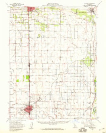
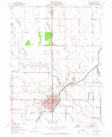
7 surveys from 16 printed sheetsMatched by testing this settlement's coordinate against the published boundary of every sheet in the United States Geological Survey's historical collection. Each opens the scanned sheet at the Survey.
- 1906 USGS Willows quadrangle1:62500, 2 printings
- 1917 USGS Lyman quadrangle1:31680, 2 printings
- 1951 USGS Willows quadrangle1:62500
- 1951 USGS Willows quadrangle1:24000, 4 printings
- 1957 USGS Ukiah quadrangle1:250000, 3 printings
- 1960 USGS Ukiah quadrangle1:250000, 2 printings
- 1987 USGS Willows quadrangle1:100000, 2 printings
Fires near this place
23 since 1993Regional context, not property-specific evidence. The federal wildfire occurrence database lists 23 fires within 5 miles of Artois between 1993 and 2020, burning about 341 acres in total. 1 started naturally. None was recorded as arson. Distance is straight-line from the map coordinates, so a fire counted here may appear on a neighbouring settlement's page as well.
| Reported cause | Fires |
|---|---|
| Missing data/not specified/undetermined | 9 |
| Equipment and vehicle use | 7 |
| Debris and open burning | 4 |
| Natural | 1 |
| Power generation/transmission/distribution | 1 |
| Misuse of fire by a minor | 1 |
The most recent of them, most recent first, with the day each was reported and the service that recorded it.
| Date | Cause | Size | Reported by | Name on the report |
|---|---|---|---|---|
| 29 September 2019 | Equipment and vehicle use | 6.2 acres | Tehama-Glenn Unit | SEMSA AIR 2 TGU_GLENN |
| 25 September 2020 | Missing data/not specified/undetermined | 8.0 acres | Tehama-Glenn Unit | REACH 5 TGU_GLENN |
| 21 September 1993 | Equipment and vehicle use | under an acre | Tehama-Glenn Unit | 35 |
| 18 September 2020 | Missing data/not specified/undetermined | 1.0 acres | Tehama-Glenn Unit | REACH 5 TGU_GLENN |
| 4 August 2020 | Debris and open burning | 1.0 acres | Tehama-Glenn Unit | REACH 5 TGU_GLENN |
| 30 August 2020 | Power generation/transmission/distribution | under an acre | Tehama-Glenn Unit | SEMSA AIR 1 TGU_GLENN |
| 29 August 2020 | Missing data/not specified/undetermined | 1.0 acres | Tehama-Glenn Unit | PHI 4-3 TGU_GLENN |
| 25 August 2005 | Equipment and vehicle use | 314 acres | Tehama-Glenn Unit | FOLEY |
Settlements close enough to share some of these fires:
Mines and quarries near this place
9 within 5 milesRegional context, not property-specific evidence. The federal mineral resources record lists 9 workings within 5 miles of Artois: 5 producers, 4 past producers. 5 still produce. What was taken out: Sand and Gravel, Construction. Distance is straight-line from the map coordinates, so a quarry counted here may appear on a neighbouring settlement's page as well.
| Where | Site | Commodity | Status | Recorded |
|---|---|---|---|---|
| Glenn County Pits | Sand and Gravel, Construction | Past Producer | Sedimentary | |
| Hydrick Pit | Sand and Gravel, Construction | Producer | ||
| Kaiser Pit | Sand and Gravel, Construction | Producer | ||
| Pit | Sand and Gravel, Construction | Producer | ||
| Pits | Sand and Gravel, Construction | Past Producer | Sedimentary | |
| Spooner Pit | Sand and Gravel, Construction | Past Producer | ||
| Unnamed Location | Sand and Gravel, Construction | Past Producer | Sedimentary | |
| Unnamed Location | Sand and Gravel, Construction | Producer | ||
| Unnamed Location | Sand and Gravel, Construction | Producer |
Storms near this place
8 since 2000Regional context, not property-specific evidence. The National Weather Service names Artois in 8 storm reports between 2000 and 2023: 4 tornado, 2 hail, 2 flood. No death or injury is recorded in these reports. Each account below is quoted exactly as the forecast office filed it, from the NOAA Storm Events Database, and each date opens the federal record of that event.
| When | Event | Place named | Harm | What the report says |
|---|---|---|---|---|
| May 2011 | Tornado (EF1) | Artois | $200,000 | The first and northernmost tornado in the outbreak developed east of the town of Artois in Glenn County at approximately 5:08 pm and moved east-northeast, passing south of the town of Chico in Butte County. It caused significant damage to an almond grove in Glenn County and less significant damage to farm implements, roofing materials, and another almond grove across its path. The rating of an EF1 was based upon the uprooting of hundreds of almond trees with a few instances of broken large branches and trunks. The estimated highest wind speed (3 second gust) based upon damage with this tornado is 95 mph. There were no injuries nor fatalities. |
| January 2023 | Flood | Artois | - | Caltrans District 3 reported the closure of southbound Interstate 5 at Road 39 due to flooding. |
| March 2023 | Flood | Artois | - | Glenn County OES reported numerous road closures across the county due to flooding, including County Road FF from CR 9 to CR 200, County Road G from CR 9 to CR 200, County Road 25 from CR F to CR H, County Road 67 from CR Z to Butte County. |
| March 2014 | Tornado (EF1) | Artois | - | Based on eye witness interviews, this tornado originated around 5:45 pm at a residence along CR 39, west of Road P. Based on damage, the tornado appeared to track along the fence of the residence, taking out deciduous trees before turning west and taking out the chain link fence. It threw lawn furniture into the residences pool, and lifted an awning up. Two support beams under the awning were pushed over before the awning was returned to its original location resting on the remaining support beams. The tornado then tracked through some orange trees, relieving them of a majority of their fruit, then another row of deciduous trees, pushing them to the west. The tornado then tracked through their almond tree orchard uprooting or breaking 60+ of their trees and removing almonds from other trees. The tornado tracked west to the next residents orchard taking out another dozen or so of his trees, but a majority of the crop was stripped off the trees. It then hit a tractor parked near his orchard, removing the shade shield and throwing it 157 feet. (Weight is 90 lbs). It also damaged a large eucalyptus tree with a large portion of the tree falling in between the residence and an outbuilding, with a portion landing on a dog kennel just below the tree. 2 trucks on the premises had a back and passenger rear window blown out by flying debris or hail. One of the tucks also sustained damage to a metal tool box in back of the truck. A debris path was apparent across CR 39 as it moved south of the road and impacted another almond orchard. Not much damage to north end of orchard, so tornado may have lifted up for a bit. Tornado touched back down just behind the residence and uprooted/broke 30+ trees. A cotton wood tree on the east end of the residence, top 1/3 of the tree was broken off, and landed immediately to the west into an alfalfa field. Toward the end of the row of almond trees near the residence, one of the uprooted trees was thrown 227 yards WSW into the alfalfa field. There was also a 24 foot debris path across the gravel road where the tree was dragged/carried into the field. |
| March 2009 | Hail | Artois | - | Hail covered the roads and a grain field was flattened by at least penny-size hail. The hills were whitened by hail. In addition, there were 0.57 inches of rain in Artois in one hour. An NWS employee on a storm survey the next day measured hail to 1.25 inches in diameter, with depths of the hail exceeding 6 inches. |
| March 2009 | Hail | Artois | - | Penny-size hail fell near Artois. |
| June 2005 | Tornado (F0) | Artois | - | A brief tornado touchdown was reported by CHP and the public. |
| July 2000 | Tornado (F0) | Artois | - | no account filed |
Nearest settlements
The eight closest, with where each one stands in the county. Distances are straight-line, computed from the Geographic Names Information System coordinates.
| Map | Place | Distance | Sheets |
|---|---|---|---|
| Bluegum | 2.5 miles | 16 | |
| Lyman (historical) | 3.5 miles | 16 | |
| Grapit | 4.2 miles | 16 | |
| Greenwood | 5.3 miles | 16 | |
| Willows | 6.6 miles | 16 | |
| Kurand (historical) | 8.0 miles | 18 | |
| Bayliss | 8.3 miles | 15 | |
| Orland | 8.8 miles | 16 |
Elsewhere
Matched on this settlement's Geographic Names Information System number rather than its name, so it cannot be a different place of the same name in another state.
| Wikipedia article on Artois | An encyclopaedic summary. Its text is share-alike, so it is linked here rather than copied. |
| Wikidata item Q2865847 | The structured record the population and elevation above come from. Public domain (CC0). |
Provenance
This settlement is recorded in the Geographic Names Information System as feature 1657951. The sheet list is computed by point-in-boundary test against the United States Geological Survey's historical topographic inventory. Both are works of the United States government and carry no copyright under 17 U.S.C. 105.
Wildfire. Short, Karen C. 2022. Spatial wildfire occurrence data for the United States, 1992-2020 [FPA_FOD_20221014]. 6th Edition. Fort Collins, CO: Forest Service Research Data Archive. https://doi.org/10.2737/RDS-2013-0009.6 Collected with United States Government funding and usable without additional permissions or fees.
Mines and quarries. USGS Mineral Resources Data System (MRDS) https://mrdata.usgs.gov/mrds/ A work of the United States government, no copyright under 17 U.S.C. 105.
Storms. NOAA National Centers for Environmental Information, Storm Events Database https://www.ncei.noaa.gov/stormevents/ A work of the United States government, no copyright under 17 U.S.C. 105. Narratives are quoted verbatim from the National Weather Service report and are not edited or summarised.