 Block
BlockCarlsbad, California
48 topographic sheets cover this place, the earliest surveyed in 1893 and the latest in 1997. It stands in the Oceanside-Escondido census division. It lies in ZIP code area 92008. It lies near Mount Kelly. The Survey maps it on the San Luis Rey quadrangle. 114,746 people lived here at the 2020 count. It stands 52 feet above sea level.
Then and now
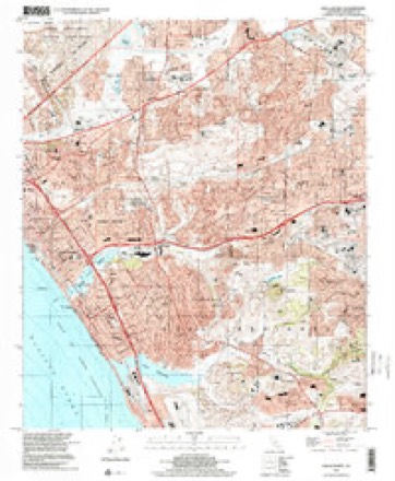
1893 to 1997The same ground, surveyed 104 years apart. Drag the handle to wipe between them. Both sheets are United States Geological Survey originals; neither has been altered.
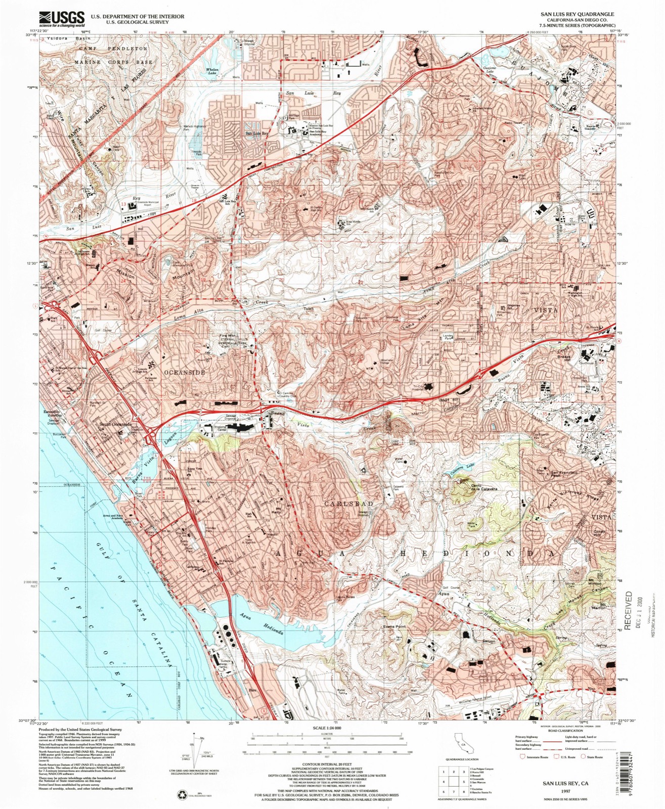
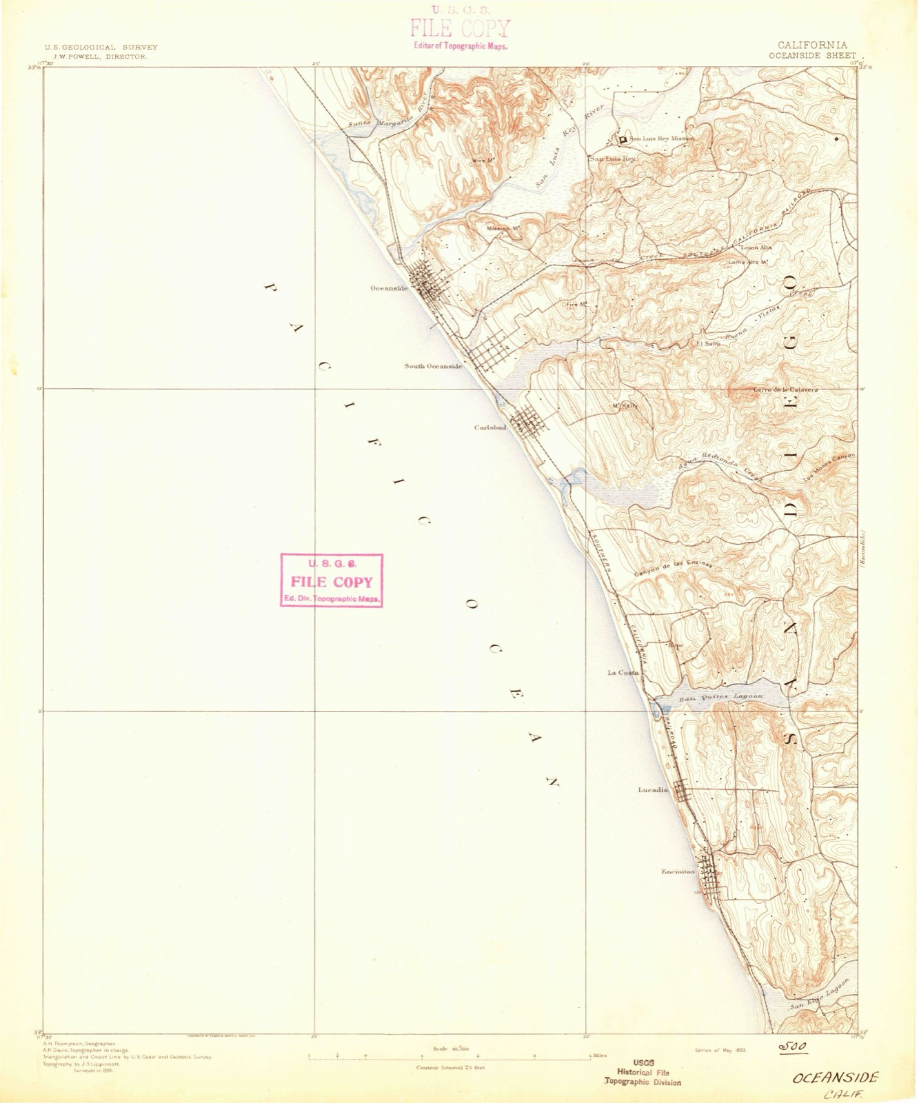
Compare 1893 against another survey:
On record in Carlsbad
Buildings and businesses the archive holds for this place. Each opens its own page, with the source record it came from.
On the National Register 2 records
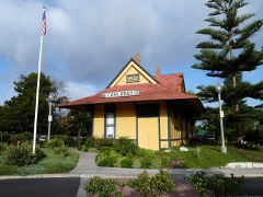 Carlsbad Santa Fe Depotlisted 1993
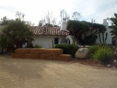 Rancho De Los Kioteslisted 1992
Population over time
2 figuresCarlsbad grew from 105,328 to 114,746 between 2010 and 2020. These are the recorded population figures Wikidata holds for this place, reached through the Geographic Names Information System number this page is keyed on rather than by name, so they belong to this place and not to another of the same name. Most are census counts, but not all are: an early figure may be a founding or settlement estimate, and an estimate published within five years of a census is left out. The change column is computed, and is left blank where more than 20 years separate a figure from the one before it, because a gap that long is not a change between two counts.
| Year | People | Change |
|---|---|---|
| 2010 | 105,328 | |
| 2020 | 114,746 | +9,418 (+9%) |
Topographic sheets covering this place
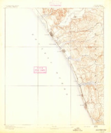
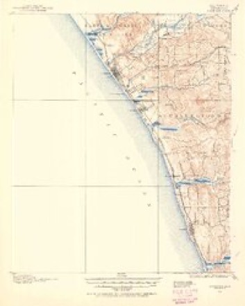
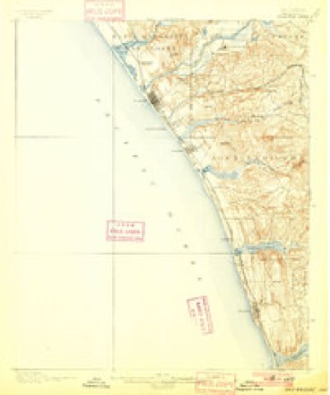
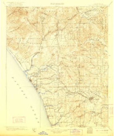
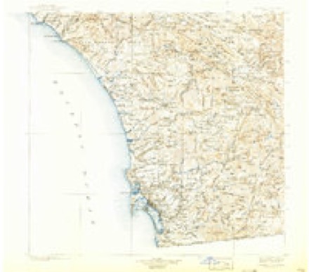
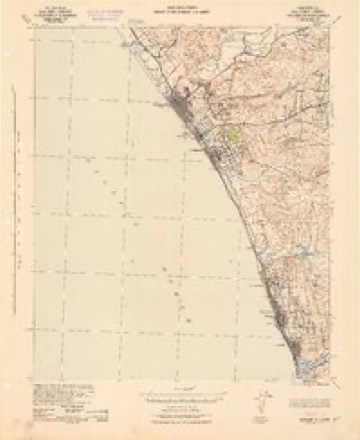
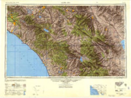
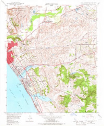
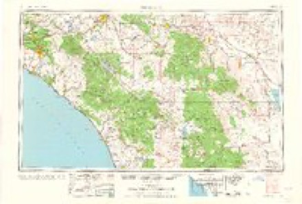
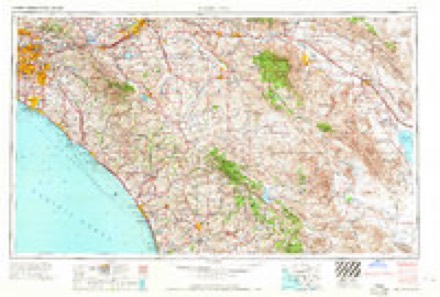
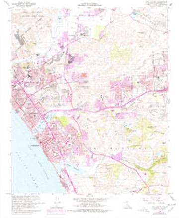
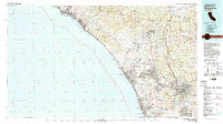
17 surveys from 48 printed sheetsMatched by testing this settlement's coordinate against the published boundary of every sheet in the United States Geological Survey's historical collection. Each opens the scanned sheet at the Survey.
- 1893 USGS Oceanside quadrangle1:62500, 2 printings
- 1898 USGS Oceanside quadrangle1:62500, 5 printings
- 1901 USGS Oceanside quadrangle1:62500, 8 printings
- 1901 USGS San Luis Rey quadrangle1:125000, 8 printings
- 1904 USGS Southern California Sheet No. 2 quadrangle1:250000, 5 printings
- 1942 USGS Oceanside quadrangle1:62500
- 1947 USGS Santa Ana quadrangle1:250000
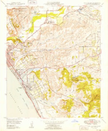
- 1948 USGS San Luis Rey quadrangle1:24000, 3 printings
- 1949 USGS San Luis Rey quadrangle1:24000
- 1949 USGS Santa Ana quadrangle1:250000
- 1956 USGS Santa Ana quadrangle1:250000
- 1959 USGS Santa Ana quadrangle1:250000, 3 printings
- 1960 USGS Santa Ana quadrangle1:250000, 2 printings
- 1965 USGS Santa Ana quadrangle1:250000
- 1968 USGS San Luis Rey quadrangle1:24000, 3 printings
- 1982 USGS Oceanside quadrangle1:100000, 2 printings
- 1997 USGS San Luis Rey quadrangle1:24000
Fires near this place
76 since 1997Regional context, not property-specific evidence. The federal wildfire occurrence database lists 76 fires within 5 miles of Carlsbad between 1997 and 2020, burning about 633 acres in total. None started naturally. 12 were recorded as arson. Distance is straight-line from the map coordinates, so a fire counted here may appear on a neighbouring settlement's page as well.
| Reported cause | Fires |
|---|---|
| Missing data/not specified/undetermined | 47 |
| Arson/incendiarism | 12 |
| Equipment and vehicle use | 8 |
| Misuse of fire by a minor | 3 |
| Debris and open burning | 3 |
| Smoking | 2 |
| Recreation and ceremony | 1 |
The most recent of them, most recent first, with the day each was reported and the service that recorded it.
| Date | Cause | Size | Reported by | Name on the report |
|---|---|---|---|---|
| 4 September 2020 | Missing data/not specified/undetermined | under an acre | San Diego Unit | GUNSHOT INJURIES |
| 27 September 2009 | Smoking | under an acre | California Department of Forestry & Fire Protection | not named |
| 26 September 2020 | Missing data/not specified/undetermined | under an acre | San Diego Unit | not named |
| 24 September 2005 | Arson/incendiarism | 2.0 acres | California Department of Forestry & Fire Protection | not named |
| 20 September 2005 | Missing data/not specified/undetermined | under an acre | California Department of Forestry & Fire Protection | not named |
| 17 September 2020 | Missing data/not specified/undetermined | under an acre | San Diego Unit | FALL - FROM HEIGHT |
| 13 September 2006 | Missing data/not specified/undetermined | under an acre | California Department of Forestry & Fire Protection | not named |
| 5 August 2020 | Missing data/not specified/undetermined | 4.0 acres | San Diego Unit | not named |
Settlements close enough to share some of these fires:
Mines and quarries near this place
10 of 18 shownRegional context, not property-specific evidence. The federal mineral resources record lists 18 workings within 5 miles of Carlsbad: 16 past producers, 2 producers. 2 still produce. What was taken out: Sand and Gravel, Construction, Stone, Crushed/Broken, Silica, Stone. Distance is straight-line from the map coordinates, so a quarry counted here may appear on a neighbouring settlement's page as well.
| Where | Site | Commodity | Status | Recorded |
|---|---|---|---|---|
| California Salt Co. | Salt | Past Producer | ||
| Carlsbad Rock and Sand Co. | Sand and Gravel, Construction, Stone, Crushed/Broken | Past Producer | ||
| Kelly Ranch Mine | Clay | Past Producer | Sedimentary | |
| Kelly Ranch Mine | Stone, Dimension | Past Producer | ||
| Crystal Silica Company | Silica | Producer | ||
| Crystal Silica Company | Silica | Past Producer | ||
| Evans Point Deposit | Stone | Past Producer | ||
| Marrow Quarry | Stone | Producer | ||
| Calavera Quarry | Stone, Crushed/Broken | Past Producer | ||
| Carlsbad Pit | Stone, Crushed/Broken, Sand and Gravel, Construction | Past Producer |
Storms near this place
24 since 1997Regional context, not property-specific evidence. The National Weather Service names Carlsbad in 24 storm reports between 1997 and 2025: 13 flood, 4 flash flood, 3 funnel cloud, 1 strong wind. The reports record 5 injuries. Each account below is quoted exactly as the forecast office filed it, from the NOAA Storm Events Database, and each date opens the federal record of that event.
| When | Event | Place named | Harm | What the report says |
|---|---|---|---|---|
| June 2003 | Rip Current | Carlsbad | 4 hurt | no account filed |
| November 1997 | Strong Wind | Carlsbad | 1 hurt | no account filed |
| April 2020 | Flash Flood | Carlsbad | $250,000 | City of Oceanside had significant damage to the wastewater treatment plant. Estimated up to 2 millions gallons spilled as the plant was inundated by the flash flooding of Buena Vista Creek. |
| December 2018 | Flood | Carlsbad | $50,000 | Heavy rain resulted in flooding near the Shoppes at Carlsbad. Five businesses reported flooding damage. A roof collapsed at a childcare center in the shopping center. |
| February 2005 | Flash Flood | Carlsbad | $15,000 | Numerous mudslides were reported. |
| November 2019 | Thunderstorm Wind | Carlsbad | $10,000 | Spotter reported straight line winds and roof damage in Carlsbad from thunderstorm wind outflow on November 28th. |
| February 2025 | Flood | Carlsbad | - | Flooding was reported on SR 78 east and El Camino Real. 0.75 inches of rain and total 1.4 inches. |
| February 2025 | Flood | Carlsbad | - | Received a report of a flooded roadway. |
| November 2025 | Flood | Carlsbad | - | El Camino Real closed due to flooding between Carlsbad and Oceanside. |
| March 2024 | Flood | Carlsbad | - | CalTrans report of flooding on SR78 near Buena Vista Creek, hourly rainfall rates of 0.50/hr were observed. |
| February 2024 | Flood | Carlsbad | - | Water was running across the freeway on Northbound I-5 in Carlsbad. A plow was required to clean up dirt in the lanes following the flooding. |
| February 2024 | Flood | Carlsbad | - | Closure at El Camino Ave ramps on SR78. Rainfall of 1.2 to 1.4 inches fell in this region. |
| February 2024 | Flood | Carlsbad | - | A large sink hole formed in the center lane of Eastbound Highway 78 west of College Blvd. |
| January 2024 | Flash Flood | Carlsbad | - | All westbound lanes on SR-78 from College Blvd to El Camino Real were closed due to flooding. |
| January 2023 | Flood | Carlsbad | - | Public report of flooding on SR78 West on the on-ramp to I-5 North. |
| March 2023 | Flood | Carlsbad | - | Significant flooding was reported early in the morning on March 15 by the Department of Highways.||SR-78 near Carlsbad initially saw flooding around 3 AM on March 15, with flooding starting on the on-ramp, eventually expanding onto the eastbound lanes of SR-78, and into the westbound lanes nearly two hours later. A hard closure was announced around 5:30 AM for the eastbound lanes, with the westbound lanes closing around 7 AM.||Flooding was reported on Discovery St near San Pablo Ct, with a closure reported on Discovery St around 8 AM.||La Costa Ave was flooded at El Camino Real.||Widespread rainfall of 2.00-3.00 was reported in the 24 hours surrounding the flooding in coastal north county. |
| November 2023 | Flood | Carlsbad | - | El Camino Real onramp to eastbound Highway 78 flooded and shut down. Right lane of Highway 78 was also closed for a few hours in this area due to flooding. Rainfall of 0.75 to 1.25 inches was reported in the area. |
| November 2023 | Flood | Carlsbad | - | Tamarack Ave onramp to I-5 northbound flooded. |
| December 2021 | Flood | Carlsbad | - | Law enforcement reports one lane of State Highway 78 at El Camino Real flooded. |
| March 2020 | Funnel Cloud | Carlsbad | - | Fire department reported funnel clouds or waterspouts off the coast of Oceanside and Carlsbad. They confirmed that there were funnel clouds, and possibly waterspouts but it was too far offshore to tell. |
| April 2020 | Flash Flood | Carlsbad | - | The Buena Vista Creek left its banks and flooded an entire golf driving range and 3 lanes of highway 78 eastbound. At 2 pm, despite efforts to pump water away, Caltrans and CHP closed all 3 lanes of westbound Highway 78. A sig alert was issued around 930 am. The highway was not fully reopen until 10 pm Friday. |
| December 2018 | Funnel Cloud | Carlsbad | - | Multiple spotter reports of a waterspout/funnel cloud in Carlsbad around 1400 PST on December 31st. |
| April 2005 | Funnel Cloud | Carlsbad | - | A funnel cloud was observed offshore by lifeguards in Carlsbad. |
| July 2001 | Wildfire | Carlsbad | - | no account filed |
Nearest settlements
The eight closest, with where each one stands in the county. Distances are straight-line, computed from the Geographic Names Information System coordinates.
| Map | Place | Distance | Sheets |
|---|---|---|---|
| South Oceanside | 1.4 miles | 48 | |
| Escondido Junction | 1.9 miles | 48 | |
| Farr | 2.2 miles | 48 | |
| Oceanside | 3.0 miles | 46 | |
| Talich | 3.4 miles | 48 | |
| Oceana | 3.8 miles | 48 | |
| Fallbrook Junction | 5.1 miles | 46 | |
| Ocean Hills | 5.1 miles | 48 |
Elsewhere
Matched on this settlement's Geographic Names Information System number rather than its name, so it cannot be a different place of the same name in another state.
| Wikipedia article on Carlsbad | An encyclopaedic summary. Its text is share-alike, so it is linked here rather than copied. |
| Wikidata item Q491099 | The structured record the population and elevation above come from. Public domain (CC0). |
Provenance
This settlement is recorded in the Geographic Names Information System as feature 1660437. The sheet list is computed by point-in-boundary test against the United States Geological Survey's historical topographic inventory. Both are works of the United States government and carry no copyright under 17 U.S.C. 105.
Wildfire. Short, Karen C. 2022. Spatial wildfire occurrence data for the United States, 1992-2020 [FPA_FOD_20221014]. 6th Edition. Fort Collins, CO: Forest Service Research Data Archive. https://doi.org/10.2737/RDS-2013-0009.6 Collected with United States Government funding and usable without additional permissions or fees.
Mines and quarries. USGS Mineral Resources Data System (MRDS) https://mrdata.usgs.gov/mrds/ A work of the United States government, no copyright under 17 U.S.C. 105.
Storms. NOAA National Centers for Environmental Information, Storm Events Database https://www.ncei.noaa.gov/stormevents/ A work of the United States government, no copyright under 17 U.S.C. 105. Narratives are quoted verbatim from the National Weather Service report and are not edited or summarised.