 Block
BlockDunlap, California
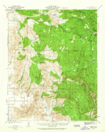
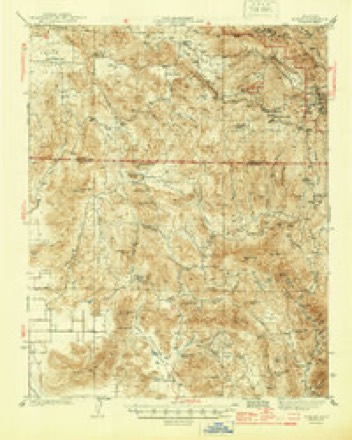
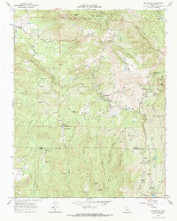
23 topographic sheets cover this place, the earliest surveyed in 1922 and the latest in 1982. It stands in the Sierra census division. It lies in ZIP code area 93621. The Survey maps it on the Miramonte quadrangle. It stands 1,919 feet above sea level.
Then and now
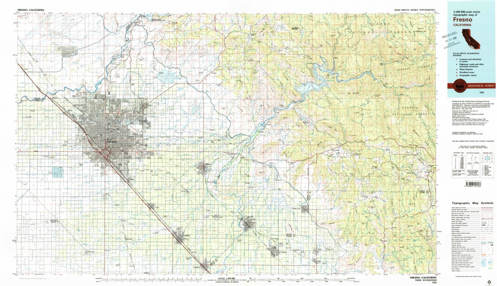
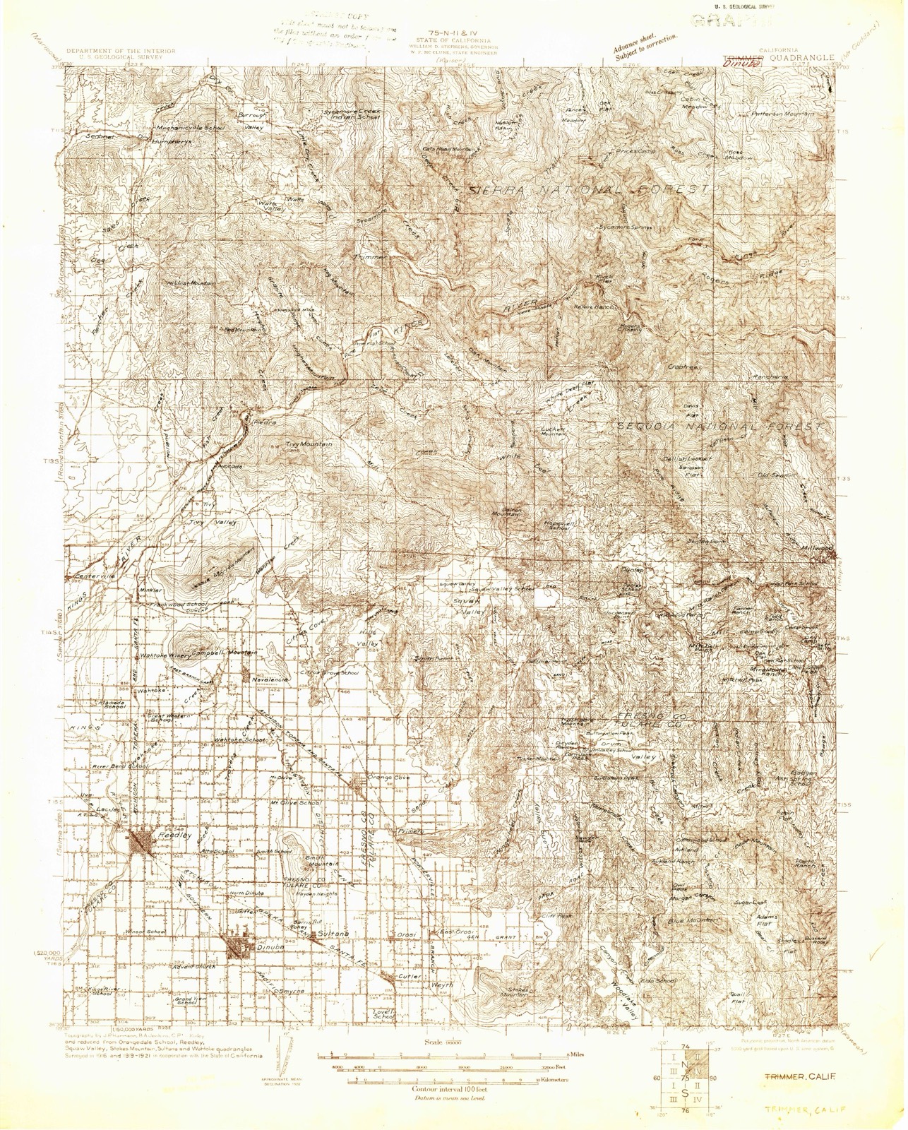
1922 to 1982The same ground, surveyed 60 years apart. Drag the handle to wipe between them. Both sheets are United States Geological Survey originals; neither has been altered.
Topographic sheets covering this place
13 surveys from 23 printed sheetsMatched by testing this settlement's coordinate against the published boundary of every sheet in the United States Geological Survey's historical collection. Each opens the scanned sheet at the Survey.
- 1922 USGS Trimmer quadrangle1:96000
- 1924 USGS Dinuba quadrangle1:125000, 5 printings
- 1942 USGS Dunlap quadrangle1:62500, 2 printings
- 1944 USGS Dunlap quadrangle1:62500, 2 printings
- 1948 USGS Fresno quadrangle1:250000
- 1955 USGS Fresno quadrangle1:250000
- 1956 USGS Fresno quadrangle1:250000
- 1958 USGS Fresno quadrangle1:250000
- 1960 USGS Fresno quadrangle1:250000, 2 printings
- 1962 USGS Fresno quadrangle1:250000, 3 printings
- 1966 USGS Fresno quadrangle1:250000
- 1966 USGS Miramonte quadrangle1:24000
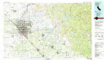
- 1982 USGS Fresno quadrangle1:100000, 2 printings

Fires near this place
195 since 1992Regional context, not property-specific evidence. The federal wildfire occurrence database lists 195 fires within 5 miles of Dunlap between 1992 and 2020, burning about 4,920 acres in total. 14 started naturally. 23 were recorded as arson. Distance is straight-line from the map coordinates, so a fire counted here may appear on a neighbouring settlement's page as well.
| Reported cause | Fires |
|---|---|
| Missing data/not specified/undetermined | 65 |
| Equipment and vehicle use | 49 |
| Debris and open burning | 25 |
| Arson/incendiarism | 23 |
| Natural | 14 |
| Misuse of fire by a minor | 8 |
| Smoking | 4 |
| Power generation/transmission/distribution | 3 |
| Recreation and ceremony | 3 |
| Other causes | 1 |
The most recent of them, most recent first, with the day each was reported and the service that recorded it.
| Date | Cause | Size | Reported by | Name on the report |
|---|---|---|---|---|
| 9 September 2015 | Equipment and vehicle use | 168 acres | Fresno-Kings Unit | CREEK |
| 8 September 2006 | Arson/incendiarism | 1.0 acres | Fresno-Kings Unit | MAGPIE |
| 8 September 2006 | Arson/incendiarism | 3.0 acres | Fresno-Kings Unit | GEORGE |
| 6 September 1999 | Missing data/not specified/undetermined | 18 acres | Sequoia National Forest | COOKS |
| 6 September 1993 | Missing data/not specified/undetermined | 2.0 acres | Fresno-Kings Unit | PIPPATT |
| 4 September 2020 | Equipment and vehicle use | under an acre | Fresno-Kings Unit | GREENHILL RD MIRAMONTE |
| 4 September 2004 | Equipment and vehicle use | under an acre | Sequoia National Forest | SNOWLINE |
| 4 September 1998 | Natural | under an acre | Sequoia National Forest | DUDE |
Settlements close enough to share some of these fires:
Mines and quarries near this place
10 of 34 shownRegional context, not property-specific evidence. The federal mineral resources record lists 34 workings within 5 miles of Dunlap: 14 occurrences, 11 unknowns, 6 past producers, 2 producers. 2 still produce. What was taken out: Gold, Tungsten, Graphite, Stone, Crushed/Broken. Distance is straight-line from the map coordinates, so a quarry counted here may appear on a neighbouring settlement's page as well.
| Where | Site | Commodity | Status | Recorded |
|---|---|---|---|---|
| Clingan Flatstone | Stone | Occurrence | ||
| Rockpile | Stone | Prospect | ||
| Ruth Hill | Mica | Producer | ||
| Ruth Hill | Mica | Past Producer | ||
| Trewick - Houghton Property | Manganese | Occurrence | Rhodonite | |
| Trewick-Houghton Prospect | Manganese | Occurrence | ||
| E D Kean Ranch Deposit | Graphite | Occurrence | ||
| Ruth Ranch Deposit | Graphite | Occurrence | ||
| Unnamed Deposits | Stone, Crushed/Broken | Occurrence | ||
| Unnamed Location | Stone, Crushed/Broken | Past Producer |
Storms near this place
24 since 1998Regional context, not property-specific evidence. The National Weather Service names Dunlap in 24 storm reports between 1998 and 2025: 11 flood, 4 debris flow, 3 wildfire, 3 thunderstorm wind. No death or injury is recorded in these reports. Each account below is quoted exactly as the forecast office filed it, from the NOAA Storm Events Database, and each date opens the federal record of that event.
| When | Event | Place named | Harm | What the report says |
|---|---|---|---|---|
| August 2001 | Wildfire | Dunlap | $6,060,000 | The Highway Fire is suspected to have been caused by arson. It burned 4152 acres and forced the evacuation of a large number of residents. There were no fatalities but 8 structures were lost (3 primary and 5 out-buildings). Total cost to contain was over $6M. |
| February 2014 | Thunderstorm Wind | Dunlap | $500,000 | Wind damage caused by thunderstorms near Squaw Valley, reported by the public and trained spotters. Roof damage and several downed trees. |
| September 2000 | Wildfire | Dunlap | $425,000 | The Millwood Wildfire burned 238 acres but the ignition cause was unknown. |
| October 1998 | Wildfire | Dunlap | $365,000 | The Rough Fire located in the Sierra National Forest, Fresno County, approximately 18 miles east of Pine Flat Dam. It burned 960 acres. No fatalities occurred nor were any structures lost. Fire cost of $365K. |
| January 2008 | Thunderstorm Wind | Dunlap | $50,000 | The public reported wind damage to trees and property at a ranch near the town of Squaw Valley. Several trees and branches were uprooted, damage occurred to several outbuildings on the property. This severe thunderstorm originally developed near Visalia and produced a small tornado, and then continued to travel to the north-northeast and affect other communities. |
| August 2013 | Thunderstorm Wind | Dunlap | $20,000 | In the town of Dunlap thunderstorms caused gusty winds around 50 mph. Damage was reported to fences. |
| September 2007 | Flash Flood | Dunlap | $12,000 | A trained storm spotter and storm chaser observed debris from flash flooding, branches, limbs and leaves on George Smith and Sand Creek Roads near Squaw Valley after heavy rains. |
| February 2025 | Debris Flow | Dunlap | - | California Highway Patrol reported a rock slide blocking the westbound lane on SR 180 in Dunlap. |
| January 2023 | Flood | Dunlap | - | Public report of flooding at the intersection of Butternut Ln. and Chuckwagon Rd. with washed up trees in the roadway. |
| January 2023 | Flood | Dunlap | - | Public report of roadway flooding at the intersection of SR 180 and Millwood Rd. |
| January 2023 | Flood | Dunlap | - | Public report that a large tree washed up on SR 180 at Millwood blocking the roadway. |
| January 2023 | Flood | Dunlap | - | Public report of the westbound lanes of SR 180 having rocks washed up onto the lanes near Snowline Lodge. |
| January 2023 | Flood | Dunlap | - | Public report of a rockslide covering the entire westbound lane of SR 180 just west of the Sierra Inn. |
| January 2023 | Flood | Dunlap | - | Public report of a tree blocking Millwood Dr. just east of Dunlap Rd. |
| March 2023 | Flood | Dunlap | - | California Highway Patrol reported mud pushing a trailer across the way on Cardinal Lane. |
| March 2023 | Flood | Dunlap | - | California Highway Patrol reported SR 180 completely blocked by dirt, rocks and mud near Millwood Rd. |
| March 2023 | Flash Flood | Dunlap | - | Fresno County Fire Department reported flooding into residences near the SR 180 and Dunlap Rd. near the Mill Creek Drainage. |
| December 2022 | Flood | Dunlap | - | California Highway Patrol reported mud, dirt and rocks washed onto the roadway at the intersection of SR 180 and Dunlap Rd. |
| December 2022 | Debris Flow | Dunlap | - | California Highway Patrol reported mud and small rocks at the intersection of SR 180 and Snowline Lodge Rd. |
| December 2022 | Debris Flow | Dunlap | - | California Highway Patrol reported a mudslide at the intersection of SR 180 and Millwood Dr. |
| December 2022 | Debris Flow | Dunlap | - | California Highway Patrol reported several large rocks in the roadway at the intersection of Chuckwagon Rd. and Butternut Ln. |
| March 2018 | Flood | Dunlap | - | California Highway Patrol reported debris covering one lane on the westbound side of State Route 180 and partially the other lanes at Snow Line Lodge near Dunlap. |
| January 2017 | Flood | Dunlap | - | California Highway Patrol reported large boulder in westbound lane of State Route 180 at Hopewell Road northeast of Squaw Valley. |
| December 2009 | Heavy Rain | Dunlap | - | Seven-tenths of an inch of rainfall occurred in just one hour near Dunlap in Fresno County. |
Nearest settlements
The eight closest, with where each one stands in the county. Distances are straight-line, computed from the Geographic Names Information System coordinates.
| Map | Place | Distance | Sheets |
|---|---|---|---|
| Miramonte | 4.8 miles | 23 | |
| Deer Crossing | 5.1 miles | 23 | |
| Goodmill | 5.9 miles | 25 | |
| Millwood (historical) | 6.2 miles | 23 | |
| Pinehurst | 6.3 miles | 23 | |
| Cedarbrook | 6.4 miles | 23 | |
| Neffs Camp | 6.6 miles | 23 | |
| Yokuts Valley | 6.7 miles | 24 |
Elsewhere
Matched on this settlement's Geographic Names Information System number rather than its name, so it cannot be a different place of the same name in another state.
| Wikipedia article on Dunlap | An encyclopaedic summary. Its text is share-alike, so it is linked here rather than copied. |
| Wikidata item Q5315402 | The structured record the population and elevation above come from. Public domain (CC0). |
Provenance
This settlement is recorded in the Geographic Names Information System as feature 259614. The sheet list is computed by point-in-boundary test against the United States Geological Survey's historical topographic inventory. Both are works of the United States government and carry no copyright under 17 U.S.C. 105.
Wildfire. Short, Karen C. 2022. Spatial wildfire occurrence data for the United States, 1992-2020 [FPA_FOD_20221014]. 6th Edition. Fort Collins, CO: Forest Service Research Data Archive. https://doi.org/10.2737/RDS-2013-0009.6 Collected with United States Government funding and usable without additional permissions or fees.
Mines and quarries. USGS Mineral Resources Data System (MRDS) https://mrdata.usgs.gov/mrds/ A work of the United States government, no copyright under 17 U.S.C. 105.
Storms. NOAA National Centers for Environmental Information, Storm Events Database https://www.ncei.noaa.gov/stormevents/ A work of the United States government, no copyright under 17 U.S.C. 105. Narratives are quoted verbatim from the National Weather Service report and are not edited or summarised.