 Block
BlockEdwards, California
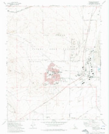
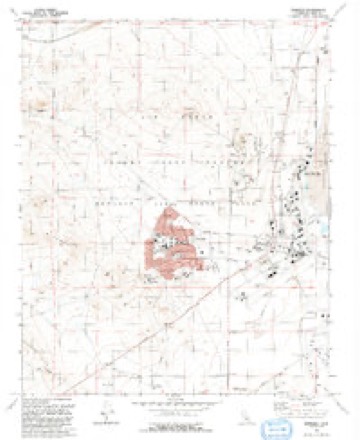
19 topographic sheets cover this place, the earliest surveyed in 1937 and the latest in 1992. It stands in the East Kern census division. It lies in ZIP code area 93523. The Survey maps it on the Edwards quadrangle. It stands 2,356 feet above sea level.
Then and now
1937 to 1992The same ground, surveyed 55 years apart. Drag the handle to wipe between them. Both sheets are United States Geological Survey originals; neither has been altered.
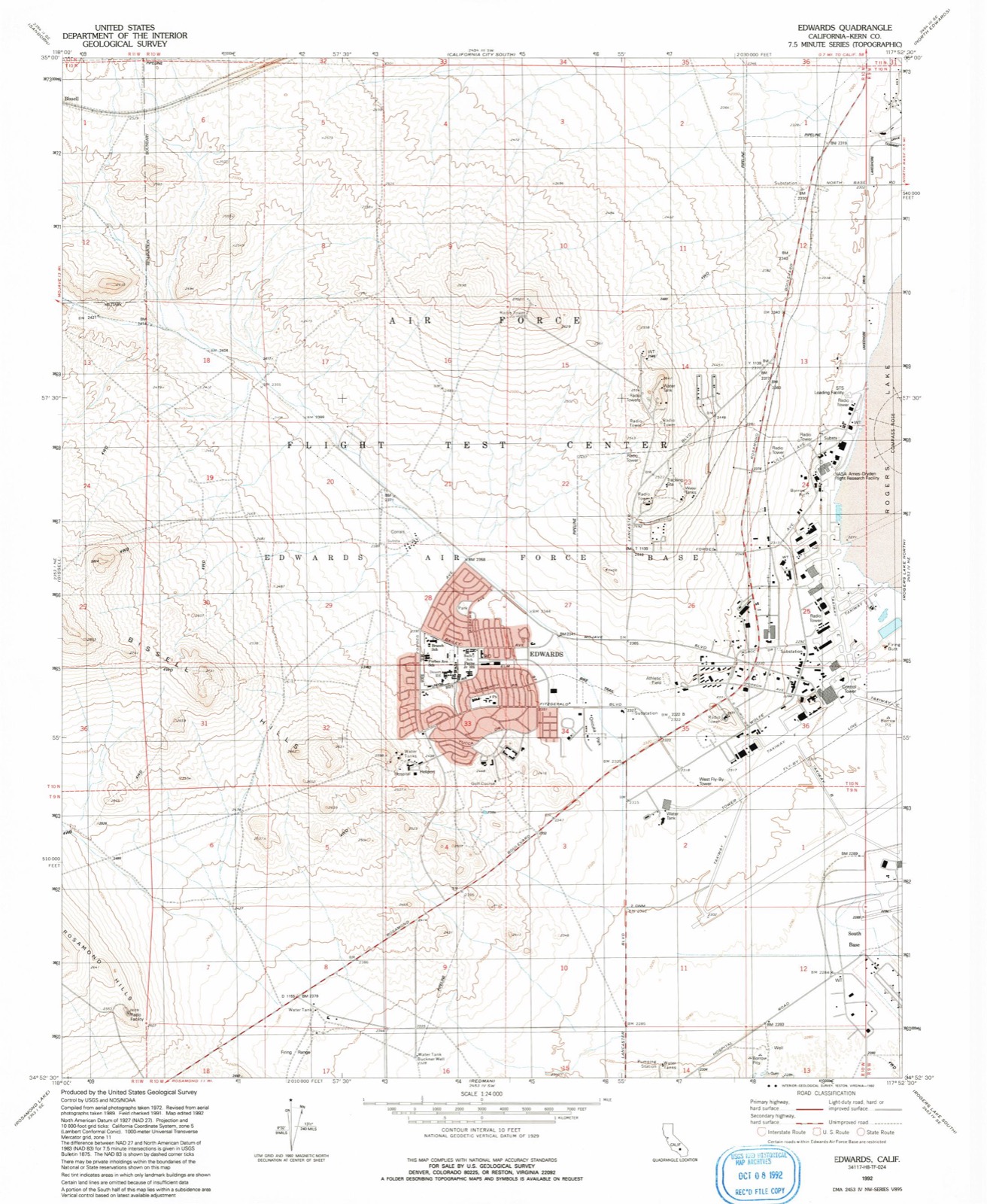
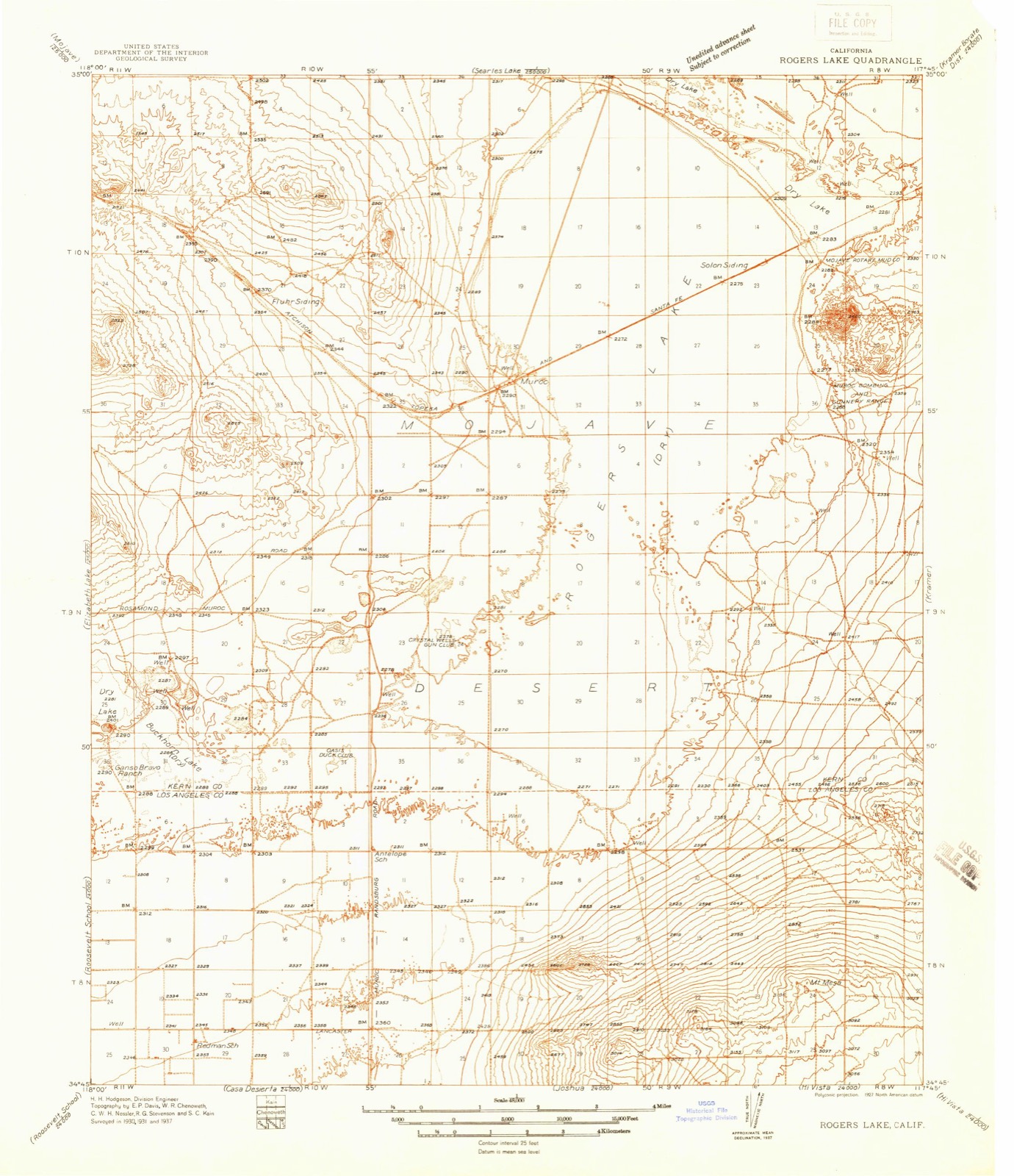
Compare 1937 against another survey:
Topographic sheets covering this place
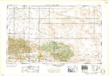
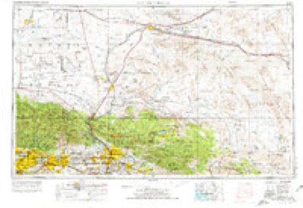
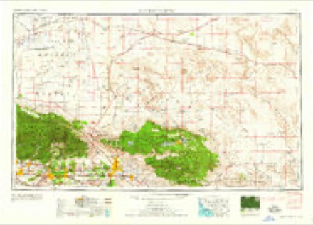
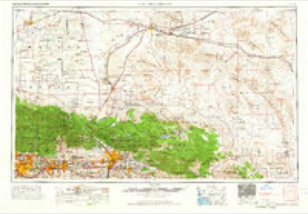
13 surveys from 19 printed sheetsMatched by testing this settlement's coordinate against the published boundary of every sheet in the United States Geological Survey's historical collection. Each opens the scanned sheet at the Survey.
- 1937 USGS Rogers Lake quadrangle1:48000
- 1942 USGS Rogers Lake quadrangle1:62500, 2 printings
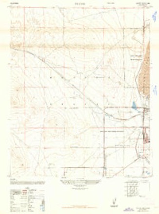
- 1947 USGS Fluhr quadrangle1:24000, 3 printings
- 1953 USGS San Bernardino quadrangle1:250000, 2 printings
- 1956 USGS Rogers Lake quadrangle1:62500, 2 printings
- 1956 USGS San Bernardino quadrangle1:250000
- 1957 USGS San Bernardino quadrangle1:250000
- 1958 USGS San Bernardino quadrangle1:250000
- 1959 USGS San Bernardino quadrangle1:250000
- 1966 USGS San Bernardino quadrangle1:250000
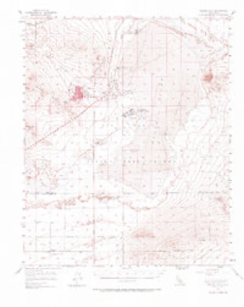
- 1973 USGS Edwards quadrangle1:24000
- 1982 USGS Victorville quadrangle1:100000, 2 printings
- 1992 USGS Edwards quadrangle1:24000
Storms near this place
9 since 2000Regional context, not property-specific evidence. The National Weather Service names Edwards in 9 storm reports between 2000 and 2018: 7 thunderstorm wind, 1 high wind, 1 heavy rain. No death or injury is recorded in these reports. Each account below is quoted exactly as the forecast office filed it, from the NOAA Storm Events Database, and each date opens the federal record of that event.
| When | Event | Place named | Harm | What the report says |
|---|---|---|---|---|
| July 2003 | Thunderstorm Wind | Edwards | $25,000 | Downburst wind struck Edwards AFB and caused damage to NASA facilities. This downburst raised dust to 1000 feet A.G.L. with visibilities down to only 650 feet as far as 15 miles away at California City. Damage was reported on the air base: windows broken, trees downed, and a couple of large aircraft moved. |
| July 2010 | Thunderstorm Wind | Edwards | $10,000 | Officials reported wind damage from thunderstorm winds estimated at 60 mph. Power interruptions and damages occurred to rooftop HVAC and roof membrane materials. Damages were estimated at 10,000 dollars by military officials. |
| May 2018 | Heavy Rain | North Edwards | - | The ASOS at North Edwards reported 0.37 inches of rain in 14 minutes from a brief heavy thunderstorm. |
| September 2012 | Thunderstorm Wind | Edwards | - | Edwards lake bed sensor measured a gust to 58 mph with a thunderstorm outflow boundary. No damage was reported. |
| August 2012 | Thunderstorm Wind | Edwards | - | Edwards Runway wind sensors measured wind gusts up to 67 mph from a severe thunderstorm downburst and outflow. Blowing dust also reported at Edwards AFB. |
| July 2009 | Thunderstorm Wind | Edwards | - | The NASA wind sensor at the South Lake Bed near Edwards AFB reported severe wind gusts from the outflow of a thunderstorm. |
| May 2009 | Thunderstorm Wind | Edwards | - | Thunderstorm outflow caused winds to gust up to 74 mph near Edwards Air Force Base. Winds were measured on a NASA wind tower at 33 feet. Winds lasted for 30 minutes or more. |
| July 2009 | Thunderstorm Wind | Edwards | - | The NASA wind sensor at the Mid Lake Bed reported severe wind gusts from the outflow of a thunderstorm. |
| May 2000 | High Wind | Edwards | - | no account filed |
Nearest settlements
The eight closest, with where each one stands in the county. Distances are straight-line, computed from the Geographic Names Information System coordinates.
| Map | Place | Distance | Sheets |
|---|---|---|---|
| Wherry Housing | 0.2 miles | 19 | |
| Fluhr (historical) | 1.4 miles | 19 | |
| Muroc (historical) | 3.3 miles | 19 | |
| Bissell | 5.9 miles | 28 | |
| Solon (historical) | 7.6 miles | 19 | |
| North Muroc (historical) | 8.2 miles | 28 | |
| North Edwards | 8.3 miles | 28 | |
| Sanborn | 10.4 miles | 30 |
Elsewhere
Matched on this settlement's Geographic Names Information System number rather than its name, so it cannot be a different place of the same name in another state.
| Wikipedia article on Edwards | An encyclopaedic summary. Its text is share-alike, so it is linked here rather than copied. |
| Wikidata item Q5346076 | The structured record the population and elevation above come from. Public domain (CC0). |
Provenance
This settlement is recorded in the Geographic Names Information System as feature 1656498. The sheet list is computed by point-in-boundary test against the United States Geological Survey's historical topographic inventory. Both are works of the United States government and carry no copyright under 17 U.S.C. 105.
Storms. NOAA National Centers for Environmental Information, Storm Events Database https://www.ncei.noaa.gov/stormevents/ A work of the United States government, no copyright under 17 U.S.C. 105. Narratives are quoted verbatim from the National Weather Service report and are not edited or summarised.