 Block
BlockGrantville, California
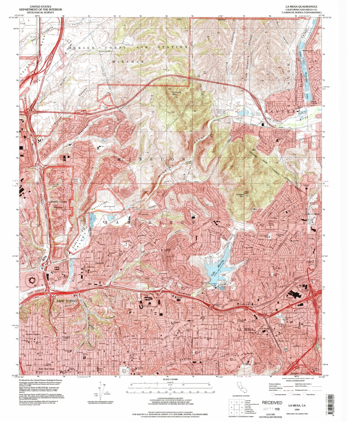
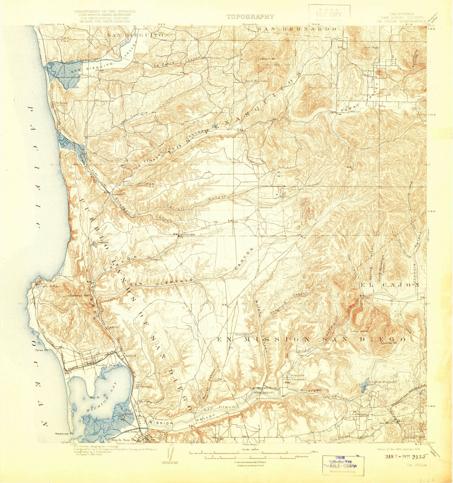
37 topographic sheets cover this place, the earliest surveyed in 1903 and the latest in 1994. It stands in the San Diego census division. It lies in ZIP code area 92120. It lies near Alvarado Canyon. The Survey maps it on the La Mesa quadrangle.
Then and now
1903 to 1994The same ground, surveyed 91 years apart. Drag the handle to wipe between them. Both sheets are United States Geological Survey originals; neither has been altered.
Compare 1903 against another survey:
On record in Grantville
Buildings and businesses the archive holds for this place. Each opens its own page, with the source record it came from.
On the National Register within a mile 1 record
The National Register names another town for these. They stand within one mile of this settlement's coordinate.
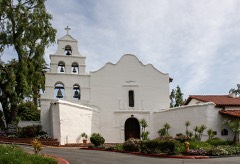 San Diego Mission ChurchNational Historic Landmark · listed 1970 · 0.6 miles away
Topographic sheets covering this place
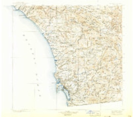
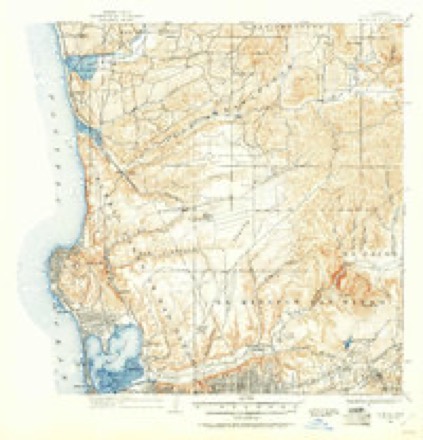
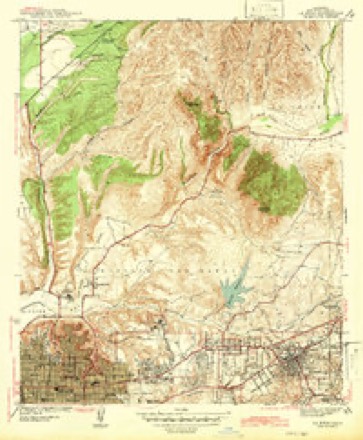
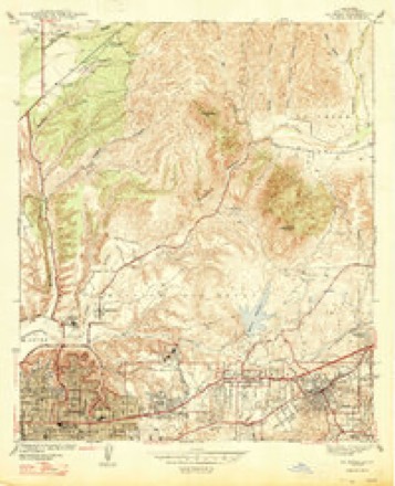
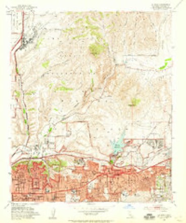
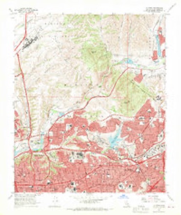
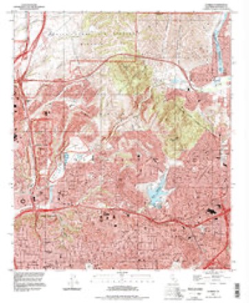
13 surveys from 37 printed sheetsMatched by testing this settlement's coordinate against the published boundary of every sheet in the United States Geological Survey's historical collection. Each opens the scanned sheet at the Survey.
- 1903 USGS La Jolla quadrangle1:62500, 9 printings
- 1904 USGS Southern California Sheet No. 2 quadrangle1:250000, 5 printings
- 1930 USGS La Jolla quadrangle1:62500, 2 printings
- 1942 USGS La Mesa quadrangle1:31680
- 1947 USGS La Mesa quadrangle1:24000, 2 printings
- 1950 USGS San Diego quadrangle1:250000
- 1953 USGS La Mesa quadrangle1:24000, 3 printings
- 1954 USGS San Diego quadrangle1:250000
- 1955 USGS San Diego quadrangle1:250000
- 1958 USGS San Diego quadrangle1:250000, 4 printings
- 1967 USGS La Mesa quadrangle1:24000, 4 printings
- 1979 USGS San Diego quadrangle1:100000, 3 printings
- 1994 USGS La Mesa quadrangle1:24000
Fires near this place
343 since 1994Regional context, not property-specific evidence. The federal wildfire occurrence database lists 343 fires within 5 miles of Grantville between 1994 and 2020, burning about 10,210 acres in total. 2 started naturally. 68 were recorded as arson. Distance is straight-line from the map coordinates, so a fire counted here may appear on a neighbouring settlement's page as well.
| Reported cause | Fires |
|---|---|
| Missing data/not specified/undetermined | 175 |
| Arson/incendiarism | 68 |
| Debris and open burning | 36 |
| Smoking | 35 |
| Equipment and vehicle use | 13 |
| Misuse of fire by a minor | 13 |
| Natural | 2 |
| Recreation and ceremony | 1 |
The most recent of them, most recent first, with the day each was reported and the service that recorded it.
| Date | Cause | Size | Reported by | Name on the report |
|---|---|---|---|---|
| 9 September 2011 | Arson/incendiarism | under an acre | San Diego Unit | not named |
| 9 September 2010 | Arson/incendiarism | 1.1 acres | California Department of Forestry & Fire Protection | not named |
| 8 September 2008 | Missing data/not specified/undetermined | under an acre | California Department of Forestry & Fire Protection | not named |
| 7 September 2005 | Debris and open burning | under an acre | California Department of Forestry & Fire Protection | not named |
| 6 September 1994 | Missing data/not specified/undetermined | 1.0 acres | San Diego Unit | ASSIST 53 |
| 30 September 2016 | Missing data/not specified/undetermined | under an acre | California Department of Forestry & Fire Protection | not named |
| 30 September 2010 | Missing data/not specified/undetermined | under an acre | California Department of Forestry & Fire Protection | not named |
| 30 September 2008 | Misuse of fire by a minor | under an acre | California Department of Forestry & Fire Protection | not named |
Settlements close enough to share some of these fires:
Mines and quarries near this place
10 of 28 shownRegional context, not property-specific evidence. The federal mineral resources record lists 28 workings within 5 miles of Grantville: 21 past producers, 5 producers, 2 unknowns. 5 still produce. What was taken out: Sand and Gravel, Construction, Stone, Crushed/Broken, Stone, Granite. Distance is straight-line from the map coordinates, so a quarry counted here may appear on a neighbouring settlement's page as well.
| Where | Site | Commodity | Status | Recorded |
|---|---|---|---|---|
| Canyon Rock Co. Plant and Quarry | Sand and Gravel, Construction, Stone, Crushed/Broken | Past Producer | ||
| Dave Martin Pro. Gravel | Granite | Unknown | ||
| Mission Gorge Quarry | Dolomite, Stone, Crushed/Broken | Producer | ||
| Canyon Rock Co.Plant and Quarry | Stone | Producer | ||
| Fletcher Quarries | Stone | Producer | ||
| Golden Co.Inc. | Stone | Producer | ||
| Acme Truck Co. Pit No. 1 | Stone, Crushed/Broken | Past Producer | ||
| Fletcher Quarries | Stone, Crushed/Broken | Past Producer | ||
| Golden Co. Inc. | Stone, Crushed/Broken | Past Producer | ||
| Twin Oaks Pit | Stone, Crushed/Broken | Unknown |
Storms near this place
10 since 2010Regional context, not property-specific evidence. The National Weather Service names Grantville in 10 storm reports between 2010 and 2024: 4 flood, 3 flash flood, 1 lightning, 1 debris flow. No death or injury is recorded in these reports. Each account below is quoted exactly as the forecast office filed it, from the NOAA Storm Events Database, and each date opens the federal record of that event.
| When | Event | Place named | Harm | What the report says |
|---|---|---|---|---|
| December 2010 | Flood | Grantville | $2,000,000 | The San Diego River at Fashion Valley has been above its flood stage of 11.3 feet since 1330 PST. A peak river stage of 14.01 feet was reported, making this a moderate flood event. The river flooding resulted in numerous closed roadways and portions of the Fashion Valley Mall parking facilities were under water. This river flooding also resulted in extensive flooding of the Qualcomm Stadium on Friars Road, including both the stadium itself and the surrounding parking lot. A total of about 1.5 million gallons of water had to be pumped out of that area, back into the river.|A flood channel overflowed, resulting in evacuations of 12 houses in Barrio Logan neighborhood in San Diego. Five people were evacuated from homes in Encanto due to stream flooding. |
| January 2017 | Flash Flood | Grantville | $100,000 | Multiple low water crossings were closed due to rapid rises in the San Diego River, including Camino Del Rio and Ward Rd. Several cars were submerged by the rapidly rising waters. The Fashion Valley Transit Center was closed due to flooding. The river peaked at 0215PST on the 21st with a crest of 11.81 ft. |
| April 2020 | Debris Flow | Grantville | $30,000 | Interstate 8 landslide and debris on highway caused closure. |
| September 2016 | Lightning | Grantville | $10,000 | A band of convection formed along the leading edge of moisture from former Hurricane Paine as it moved northward. Numerous lightning strikes occurred in San Diego County setting palm trees on fire and causing power outages to 4000 customers. |
| November 2019 | Flood | Grantville | $5,000 | Broadcast media reported 12 San Diego State University dorm rooms flooded from heavy rain on the evening of the 20th. Water was entering the first floor of the dorm room. |
| January 2024 | Heavy Rain | Grantville | - | The driver of a big rig lost control in heavy rain and hit a guard rail and traveled down an embankment. During recovery of the truck, its fuel tank was punctured, spilling fuel across the roadway and resulting in a full closure of northbound I-15 at I-8. |
| May 2015 | Flash Flood | Grantville | - | A resident reported flooding on El Cajon Boulevard in the North Park neighborhood of San Diego. Based on photos, the water appears to be around 6 to 8 inches deep. |
| December 2014 | Flash Flood | Grantville | - | News10 reported a levee breech along the San Diego River near Qualcomm stadium, releasing large amounts of water into the parking area. At the time, the San Diego River stage was at 4.1 feet at the nearby Fashion Valley gage. |
| December 2012 | Flood | Grantville | - | National coverage of the Chargers/Raiders football game showed heavy rain and pea sized hail during pre-game warmups and the beginning of the first quarter. The heavy rain resulted in the flooding of a few seating areas in the stadium. |
| January 2010 | Flood | Grantville | - | The San Diego River crested just below the 11.3 foot flood stage on the afternoon of the 21st. There were reports of flooding along Ward Road and in the Qualcomm Stadium parking lot in Mission Valley. No damage was reported. |
Nearest settlements
The eight closest, with where each one stands in the county. Distances are straight-line, computed from the Geographic Names Information System coordinates.
| Map | Place | Distance | Sheets |
|---|---|---|---|
| Allied Gardens | 1.1 miles | 37 | |
| Del Cerro | 1.4 miles | 37 | |
| College Heights | 1.9 miles | 37 | |
| Normal Heights | 2.1 miles | 37 | |
| Serra Mesa | 2.4 miles | 34 | |
| East San Diego | 2.7 miles | 32 | |
| Tierrasanta | 2.9 miles | 37 | |
| University Heights | 3.1 miles | 34 |
Provenance
This settlement is recorded in the Geographic Names Information System as feature 1660695. The sheet list is computed by point-in-boundary test against the United States Geological Survey's historical topographic inventory. Both are works of the United States government and carry no copyright under 17 U.S.C. 105.
Wildfire. Short, Karen C. 2022. Spatial wildfire occurrence data for the United States, 1992-2020 [FPA_FOD_20221014]. 6th Edition. Fort Collins, CO: Forest Service Research Data Archive. https://doi.org/10.2737/RDS-2013-0009.6 Collected with United States Government funding and usable without additional permissions or fees.
Mines and quarries. USGS Mineral Resources Data System (MRDS) https://mrdata.usgs.gov/mrds/ A work of the United States government, no copyright under 17 U.S.C. 105.
Storms. NOAA National Centers for Environmental Information, Storm Events Database https://www.ncei.noaa.gov/stormevents/ A work of the United States government, no copyright under 17 U.S.C. 105. Narratives are quoted verbatim from the National Weather Service report and are not edited or summarised.