 Block
BlockJohnsondale, California
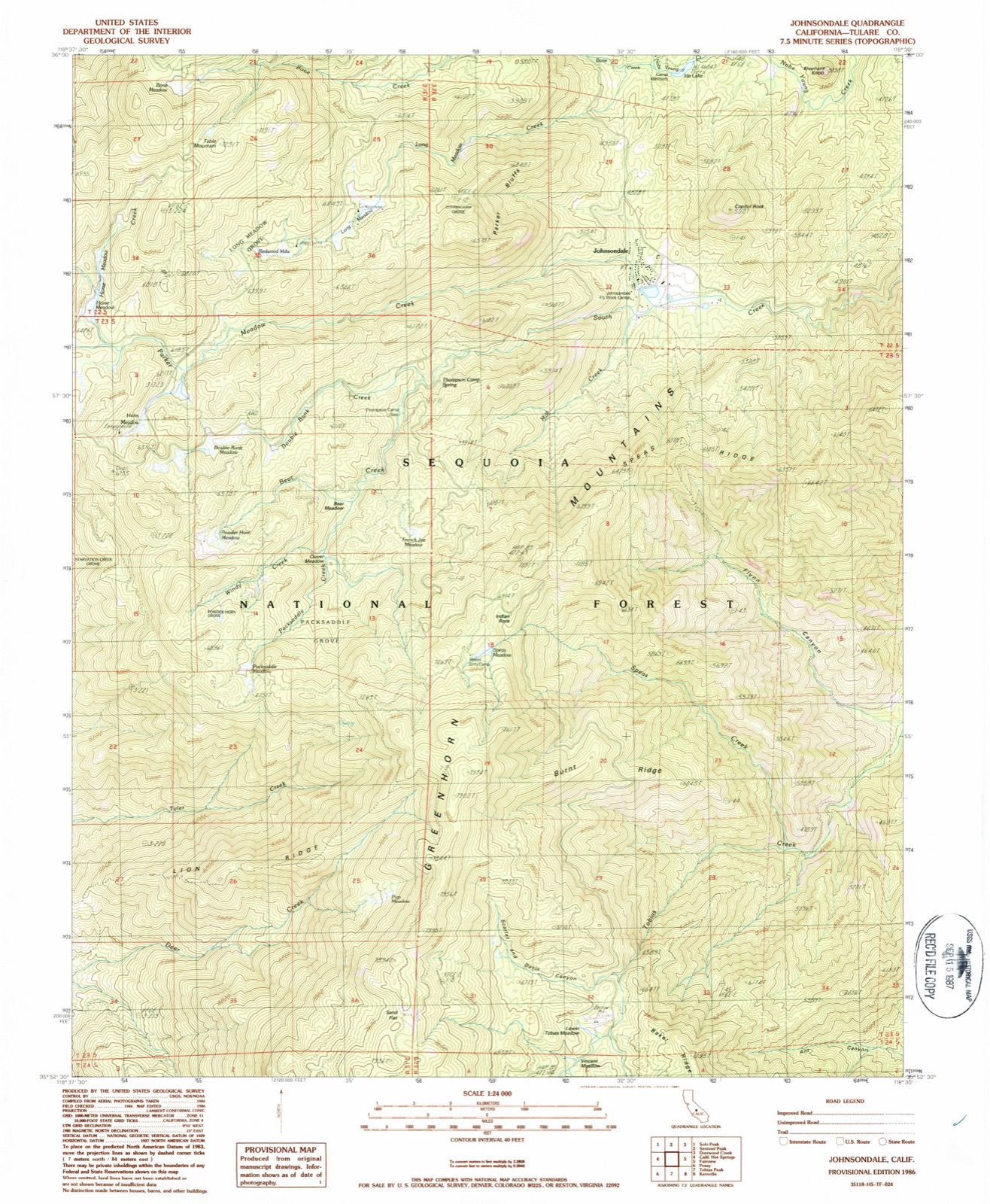
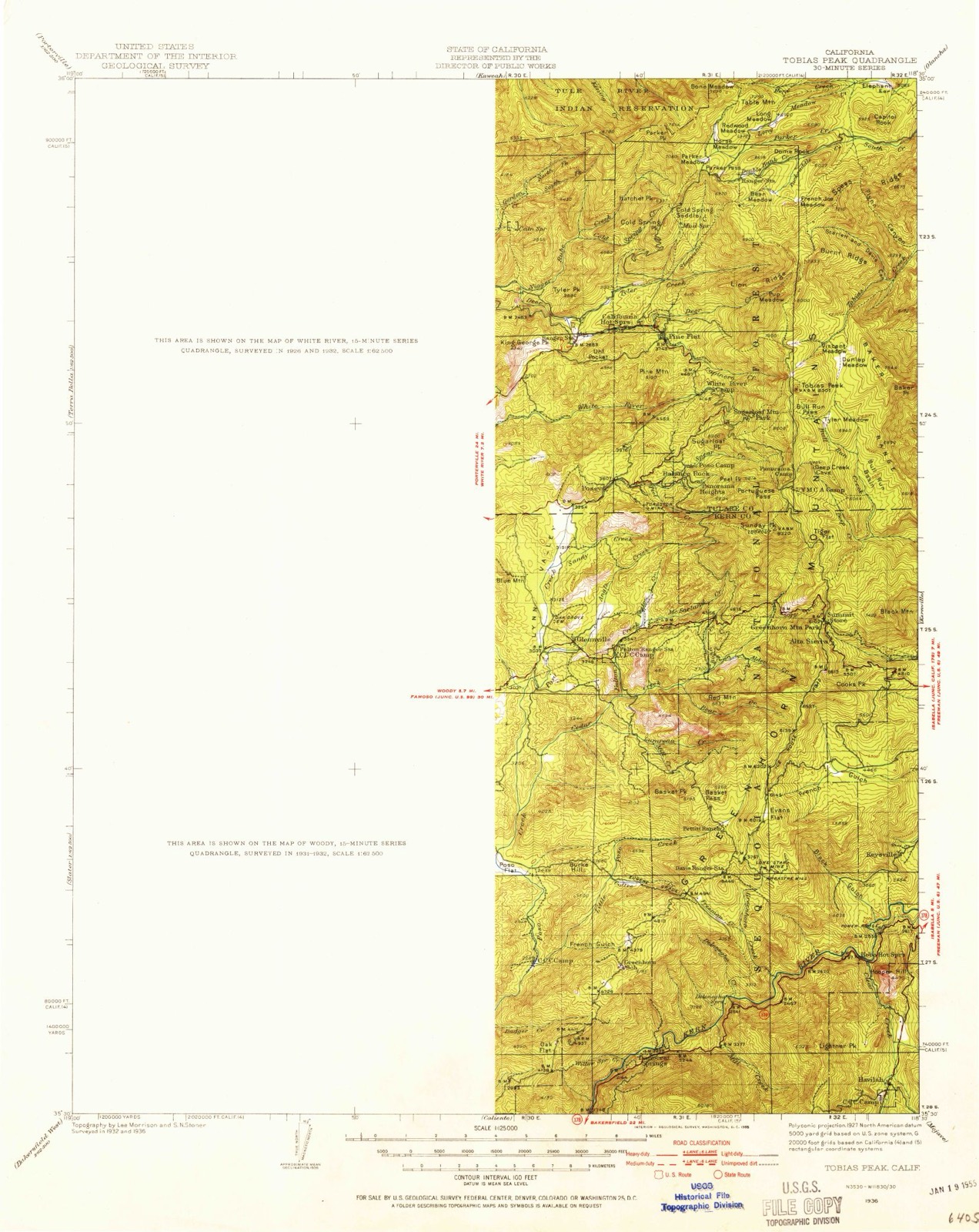
22 topographic sheets cover this place, the earliest surveyed in 1936 and the latest in 1986. It stands in the Springville-Johnsondale census division. It lies in ZIP code area 93238. It stands on Parker Meadow Creek. The Survey maps it on the Johnsondale quadrangle. It stands 4,711 feet above sea level.
Then and now
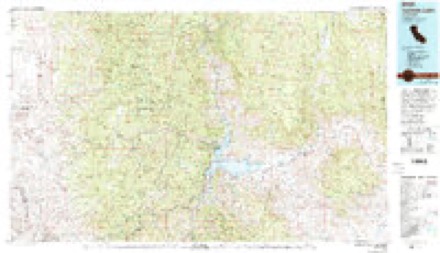
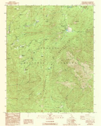
1936 to 1986The same ground, surveyed 50 years apart. Drag the handle to wipe between them. Both sheets are United States Geological Survey originals; neither has been altered.
Compare 1936 against another survey:
Topographic sheets covering this place
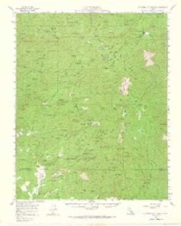
12 surveys from 22 printed sheetsMatched by testing this settlement's coordinate against the published boundary of every sheet in the United States Geological Survey's historical collection. Each opens the scanned sheet at the Survey.
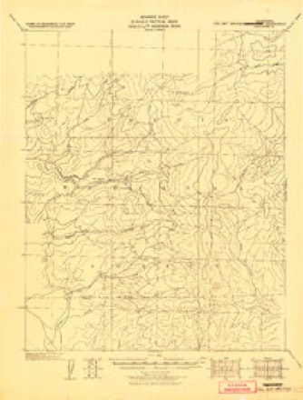
- 1936 USGS Tobias Peak quadrangle1:125000
- 1943 USGS Tobias Peak quadrangle1:125000, 2 printings
- 1945 USGS Tobias Peak quadrangle1:62500
- 1948 USGS Bakersfield quadrangle1:250000, 2 printings
- 1955 USGS Bakersfield quadrangle1:250000
- 1956 USGS Bakersfield quadrangle1:250000
- 1958 USGS California Hot Springs quadrangle1:62500, 3 printings
- 1960 USGS Bakersfield quadrangle1:250000, 2 printings
- 1962 USGS Bakersfield quadrangle1:250000, 4 printings
- 1966 USGS Bakersfield quadrangle1:250000
- 1978 USGS Isabella Lake quadrangle1:100000, 2 printings
- 1986 USGS Johnsondale quadrangle1:24000, 2 printings
Fires near this place
101 since 1992Regional context, not property-specific evidence. The federal wildfire occurrence database lists 101 fires within 5 miles of Johnsondale between 1992 and 2020, burning about 9,411 acres in total. 23 started naturally. 4 were recorded as arson. Distance is straight-line from the map coordinates, so a fire counted here may appear on a neighbouring settlement's page as well.
| Reported cause | Fires |
|---|---|
| Recreation and ceremony | 32 |
| Missing data/not specified/undetermined | 25 |
| Natural | 23 |
| Equipment and vehicle use | 6 |
| Arson/incendiarism | 4 |
| Smoking | 4 |
| Debris and open burning | 2 |
| Misuse of fire by a minor | 2 |
| Fireworks | 1 |
| Other causes | 1 |
| Power generation/transmission/distribution | 1 |
The most recent of them, most recent first, with the day each was reported and the service that recorded it.
| Date | Cause | Size | Reported by | Name on the report |
|---|---|---|---|---|
| 9 September 2018 | Recreation and ceremony | under an acre | Sequoia National Forest | FAIRVIEW |
| 8 September 2007 | Recreation and ceremony | under an acre | Sequoia National Forest | GIANTS |
| 8 September 1996 | Recreation and ceremony | under an acre | Sequoia National Forest | END |
| 4 September 2011 | Arson/incendiarism | 310 acres | Sequoia National Forest | WILLOWS |
| 30 September 1996 | Recreation and ceremony | 6.0 acres | Sequoia National Forest | SANDHILL |
| 3 September 2006 | Recreation and ceremony | under an acre | Sequoia National Forest | RINCON |
| 3 September 1997 | Natural | under an acre | Sequoia National Forest | TABLE II |
| 29 September 2006 | Missing data/not specified/undetermined | under an acre | Sequoia National Forest | FOUR |
Settlements close enough to share some of these fires:
Mines and quarries near this place
5 within 5 milesRegional context, not property-specific evidence. The federal mineral resources record lists 5 workings within 5 miles of Johnsondale: 3 occurrences, 2 past producers. None of them still produces. What was taken out: Tungsten. Distance is straight-line from the map coordinates, so a quarry counted here may appear on a neighbouring settlement's page as well.
| Where | Site | Commodity | Status | Recorded |
|---|---|---|---|---|
| Bright Mars 1 and 2 Claims | Tungsten | Occurrence | ||
| C C Lode No. 1 | Tungsten | Past Producer | ||
| Carver | Tungsten | Occurrence | Scheelite | |
| Carver Mine | Tungsten | Past Producer | ||
| Kern River | Tungsten | Occurrence |
Storms near this place
14 since 1999Regional context, not property-specific evidence. The National Weather Service names Johnsondale in 14 storm reports between 1999 and 2014: 4 wildfire, 3 flash flood, 2 thunderstorm wind, 2 heavy rain. No death or injury is recorded in these reports. Each account below is quoted exactly as the forecast office filed it, from the NOAA Storm Events Database, and each date opens the federal record of that event.
| When | Event | Place named | Harm | What the report says |
|---|---|---|---|---|
| August 2002 | Wildfire | Johnsondale | $45,700,000 | Reference the McNally Fire start data in the July 2002 Stormdata. Total cost of the fire was $45.7M with 14 structures lost and 150,696 acres burned. It was contained on August 29th after starting on July 21st. |
| July 2002 | Wildfire | Johnsondale | $14,300,000 | The McNally Fire was started by an illegal campfire. It charred 90,500 acres through July 31st and ultimately charred 150,696 acres. The fire was located in Tulare County near the town of Johnsondale and is the largest fire in Sequoia Park history. This fire threatened some of the park's historic Giant Sequoia Groves although they were successfully protected. There were 14 structures lost. At one time over 2,000 firefighters plus air support were being used to fight the fire. Cost to contain the fire was in excess of $14M by 7/31/02. The final cost assigned to this fire was $45.7M at containment on August 29th. |
| July 2000 | Wildfire | Johnsondale | $490,000 | The Manter Wildfire (possible arson cause) in the southernmost part of the Sequoia National Park just above the Kern County line in the Dome Land Wilderness Area burned from July 22nd and was contained on August 10th. It burned 74,010 acres and 16 structures, including at least 7 homes in the Pine Creek area. Its cost of containment was $11.2 Million and involved 978 personnel. |
| July 2013 | Flash Flood | Johnsondale | $225,000 | A flash flood struck Lloyd Meadow Road just north of Johnsondale. Several vehicles were rescued by authorities. |
| December 2014 | Heavy Rain | Johnsondale | - | Mesonet station Johnsondale /JSNC1/ rainfall 2.60 inches in 12 hours. |
| May 2009 | Thunderstorm Wind | Johnsondale | - | Severe criteria wind gusts from a severe thunderstorm. |
| July 2005 | Flash Flood | Johnsondale | - | With thundershowers providing rainfall rates of 2-3"/hour and observed amounts in excess of 1" in the high mountains of Tulare County, a mud slide swept over the road near Kennedy Meadows late in the afternoon of the 23rd. |
| June 2004 | Hail | Johnsondale | - | A public report provided information that 1-inch hail occurred from a thunderstorm crossing the Tulare-Inyo County line on the 16th. Large hail was observed in the Inyo County area north of Little Lake along Highway 395 just before 3 PM PST(estimated). Locally heavy rainfall rates estimated by NWS Radar ranged from 2.5 to 3 inches in an hour over the previously burned Manter Fire area of Tulare and Kern Counties. |
| July 2002 | Thunderstorm Wind | Johnsondale | - | As denoted by radar signature, a strong thunderstorm cell likely provided heavy rainfall in a remote, sparsely populated area of the Tulare County Mountains during the late afternoon of the 17th. |
| May 2000 | High Wind | Johnsondale | - | Gusty wind occurred over the higher elevations of the Tulare County Southern Sierra Nevada Mountains during the hours just after dawn on the 7th. Wind, a little lower in intensity, also occurred in the Kern Deserts and Mountains during the same time period. |
| May 1999 | Wildfire | Johnsondale | - | Lightning started fire in the Chimney Drainage in the far southeast portion of Tulare County. Fire reported by Kern County Fire Dispatch. The fire burned no structures with no reported loss other than the less than 1 acre area burned. Again, no cost reported/unknown. |
| July 2005 | Flash Flood | Johnsondale | - | no account filed |
| August 2003 | Heavy Rain | Johnsondale | - | no account filed |
| September 2003 | Lightning | Johnsondale | - | no account filed |
Nearest settlements
The eight closest, with where each one stands in the county. Distances are straight-line, computed from the Geographic Names Information System coordinates.
| Map | Place | Distance | Sheets |
|---|---|---|---|
| Roads End | 4.0 miles | 30 | |
| Fairview | 4.2 miles | 30 | |
| Redwood Corral | 6.5 miles | 22 | |
| Pine Flat | 8.9 miles | 22 | |
| Ponderosa | 9.1 miles | 27 | |
| California Hot Springs | 9.2 miles | 22 | |
| Quaker Meadow | 9.4 miles | 27 | |
| Wheatons | 9.5 miles | 26 |
Elsewhere
Matched on this settlement's Geographic Names Information System number rather than its name, so it cannot be a different place of the same name in another state.
| Wikipedia article on Johnsondale | An encyclopaedic summary. Its text is share-alike, so it is linked here rather than copied. |
| Wikidata item Q6268521 | The structured record the population and elevation above come from. Public domain (CC0). |
Provenance
This settlement is recorded in the Geographic Names Information System as feature 1660818. The sheet list is computed by point-in-boundary test against the United States Geological Survey's historical topographic inventory. Both are works of the United States government and carry no copyright under 17 U.S.C. 105.
Wildfire. Short, Karen C. 2022. Spatial wildfire occurrence data for the United States, 1992-2020 [FPA_FOD_20221014]. 6th Edition. Fort Collins, CO: Forest Service Research Data Archive. https://doi.org/10.2737/RDS-2013-0009.6 Collected with United States Government funding and usable without additional permissions or fees.
Mines and quarries. USGS Mineral Resources Data System (MRDS) https://mrdata.usgs.gov/mrds/ A work of the United States government, no copyright under 17 U.S.C. 105.
Storms. NOAA National Centers for Environmental Information, Storm Events Database https://www.ncei.noaa.gov/stormevents/ A work of the United States government, no copyright under 17 U.S.C. 105. Narratives are quoted verbatim from the National Weather Service report and are not edited or summarised.