 Block
BlockLoope, California
29 topographic sheets cover this place, the earliest surveyed in 1889 and the latest in 1985. It stands in the Markleeville census division. It lies in ZIP code area 96120. It lies near Goskey Canyon. The Survey maps it on the Heenan Lake quadrangle. It stands 6,188 feet above sea level.
Then and now
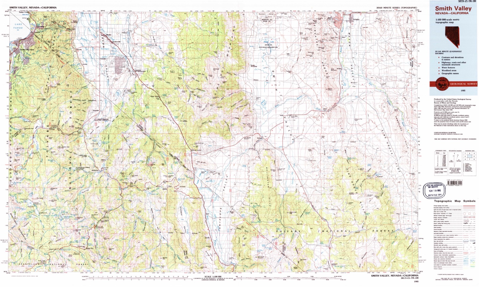
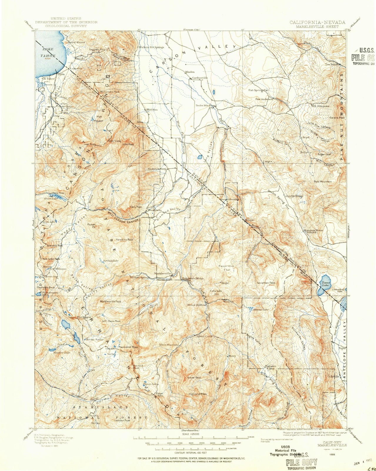
1889 to 1985The same ground, surveyed 96 years apart. Drag the handle to wipe between them. Both sheets are United States Geological Survey originals; neither has been altered.
Topographic sheets covering this place
10 surveys from 29 printed sheetsMatched by testing this settlement's coordinate against the published boundary of every sheet in the United States Geological Survey's historical collection. Each opens the scanned sheet at the Survey.
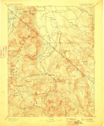
- 1889 USGS Markleeville quadrangle1:125000
- 1891 USGS Markleeville quadrangle1:125000
- 1893 USGS Markleeville quadrangle1:125000, 9 printings
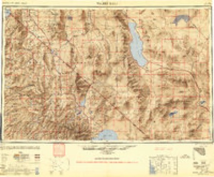
- 1948 USGS Walker Lake quadrangle1:250000, 2 printings
- 1956 USGS Topaz Lake quadrangle1:62500, 4 printings
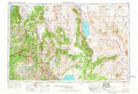
- 1957 USGS Walker Lake quadrangle1:250000, 4 printings
- 1962 USGS Walker Lake quadrangle1:250000
- 1964 USGS Walker Lake quadrangle1:250000, 2 printings
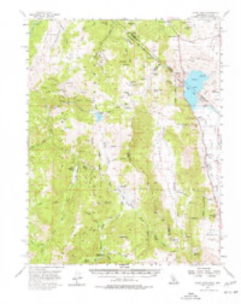
- 1979 USGS Heenan Lake quadrangle1:24000, 3 printings
- 1985 USGS Smith Valley quadrangle1:100000, 2 printings
Fires near this place
137 since 1992Regional context, not property-specific evidence. The federal wildfire occurrence database lists 137 fires within 5 miles of Loope between 1992 and 2020, burning about 146 acres in total. 119 started naturally. 2 were recorded as arson. Distance is straight-line from the map coordinates, so a fire counted here may appear on a neighbouring settlement's page as well.
| Reported cause | Fires |
|---|---|
| Natural | 119 |
| Recreation and ceremony | 5 |
| Equipment and vehicle use | 4 |
| Missing data/not specified/undetermined | 3 |
| Smoking | 2 |
| Arson/incendiarism | 2 |
| Debris and open burning | 1 |
| Other causes | 1 |
The most recent of them, most recent first, with the day each was reported and the service that recorded it.
| Date | Cause | Size | Reported by | Name on the report |
|---|---|---|---|---|
| 5 September 1998 | Natural | under an acre | Humboldt-Toiyabe National Forest | BOY |
| 5 September 1993 | Natural | under an acre | Humboldt-Toiyabe National Forest | not named |
| 4 September 1998 | Natural | under an acre | Humboldt-Toiyabe National Forest | FORK |
| 3 September 1998 | Natural | under an acre | Humboldt-Toiyabe National Forest | EAST |
| 25 September 1999 | Natural | under an acre | Humboldt-Toiyabe National Forest | POORE |
| 18 September 2014 | Missing data/not specified/undetermined | 7.0 acres | Humboldt-Toiyabe National Forest | MONITOR 2 |
| 12 September 2009 | Natural | under an acre | Humboldt-Toiyabe National Forest | POOR |
| 12 September 2009 | Natural | under an acre | Humboldt-Toiyabe National Forest | LEVIATHAN |
Settlements close enough to share some of these fires:
Specimens collected near this place
12 of 1,154 shownRegional context, not property-specific evidence. Museums hold 1,154 specimens collected within 10 miles of Loope between 1863 and 1975: 1,028 Animalia, 73 Plantae, 48 Fungi, 3 Unrecorded, 2 Protozoa. 12 distinct Species records are shown. Collected by A. C. Browne, A. L. Brown, A.C. Taft, Calif. Fish & Game and others. Each is a physical object with a catalogue number, and each entry opens the museum's record. This is what was collected and kept, not a survey of what lives here - nothing can be concluded from a species being absent.
| Image | Species | Year | Collected by | Where, as recorded |
|---|---|---|---|---|
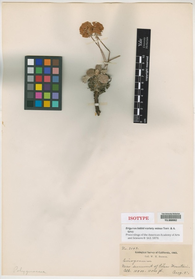 | Eriogonum lobbii var. minus Torr. & A.Gray | 1863 | William H. Brewer | Near summit of Silver Mountain |
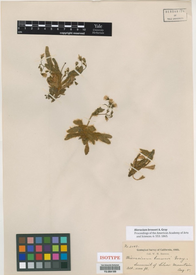 | Hieracium breweri A.Gray | 1863 | William H. Brewer | Summit of Silver Mountain |
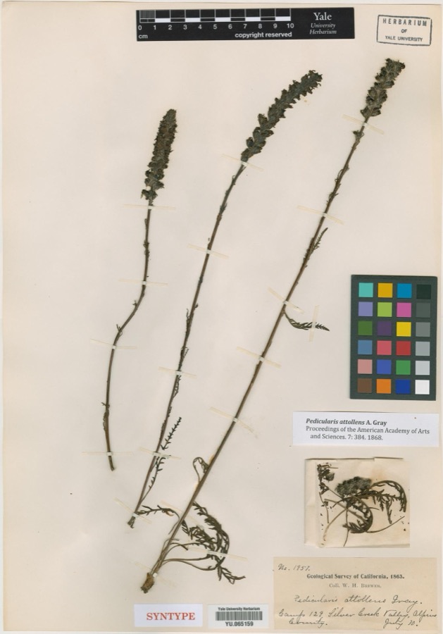 | Pedicularis attollens A.Gray | 1863 | William H. Brewer | Camp 129, Silver Creek Valley |
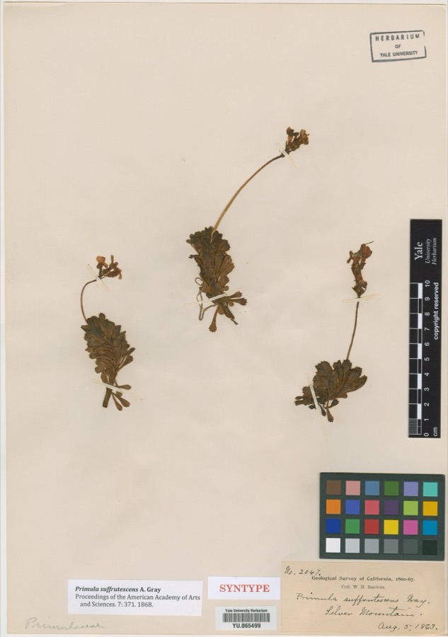 | Primula suffrutescens A.Gray | 1863 | William H. Brewer | Silver Mountain |
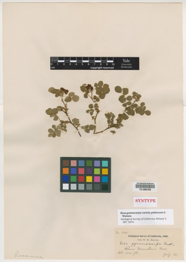 | Rosa gymnocarpa var. pubescens S.Watson | 1863 | William H. Brewer | Silver Mountain Pass |
 | Homalothecium aureum (Spruce) H.Rob. | 1870 | T. P. James | Monitor. |
| Rhizocarpon riparium Räsänen | 1870 | I. A. Lapham | ||
 | Tsuga mertensiana subsp. grandicona Farjon | 1876 | Hooker, J.D.; Gray, A. | |
 | Pinus L. | 1877 | Hooker, J.D.; Gray, A. | ['Gorge Barey Silver Mtn.'] |
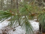 | Pinus monticola Douglas ex D.Don | 1877 | Hooker, J.D.; Gray, A. | |
 | Geococcyx californianus (Lesson, 1829) | 1888 | Ingersoll, A.M. | |
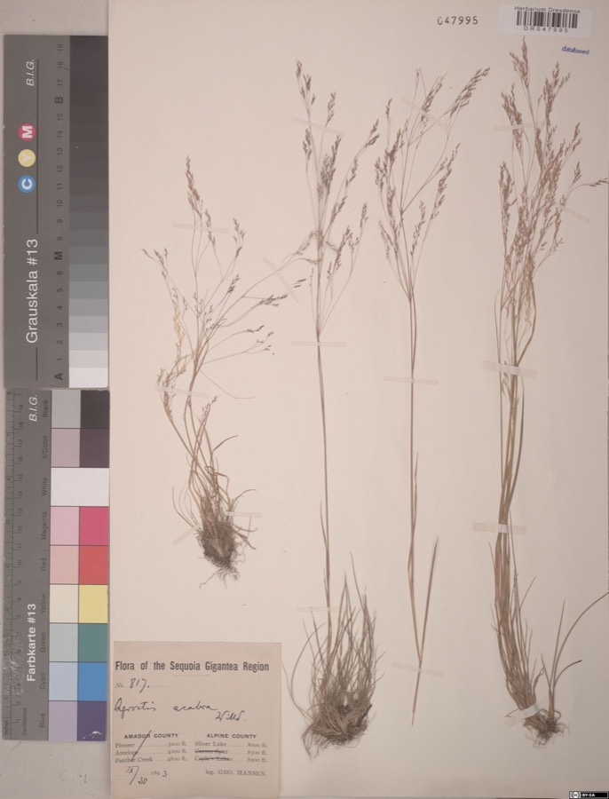 | Agrostis scabra Willd. | 1893 | Hansen,G. Flora of the Sequoia Gigantea Region 817 | Alpine County; Silver Lake |
All 1,154 specimens within 10 miles, at the Global Biodiversity Information Facility.
Mines and quarries near this place
10 of 93 shownRegional context, not property-specific evidence. The federal mineral resources record lists 93 workings within 5 miles of Loope: 46 past producers, 32 occurrences, 7 unknowns, 5 producers. 6 still produce. What was taken out: Gold, Silver, Copper, Gold, Silver. Distance is straight-line from the map coordinates, so a quarry counted here may appear on a neighbouring settlement's page as well.
| Where | Site | Commodity | Status | Recorded |
|---|---|---|---|---|
| Advance | Copper, Gold, Lead, Silver | Occurrence | ||
| Alpine Happy Thought | Gold, Silver, Molybdenum | Past Producer | Gold | |
| Colorado Hill | Silver, Lead, Zinc, Gold, Copper | Past Producer | Gold, Silver | |
| Curtz Mine | Gold, Silver, Copper, Lead, Zinc | Past Producer | Chalcopyrite, Galena, Gold, Pyrite, Sphalerite | |
| Dixon Mine | Copper, Antimony, Molybdenum, Gold, Silver | Occurrence | ||
| Globe Mine | Gold, Copper, Silver | Unknown | ||
| I X L | Gold, Silver, Lead, Copper, Antimony | Past Producer | Argentite, Galena, Proustite, Pyrargyrite, Pyrite | |
| Joe Larsen Claim | Gold, Silver, Lead | Past Producer | Gold | |
| Joe Larsen Claim | Gold, Lead, Silver | Past Producer | ||
| Leviathan | Copper, Sulfur, Gold, Silver | Producer | Replacement |
Storms near this place
8 since 2015Regional context, not property-specific evidence. The National Weather Service names Loope in 8 storm reports between 2015 and 2024: 5 heavy rain, 3 debris flow. No death or injury is recorded in these reports. Each account below is quoted exactly as the forecast office filed it, from the NOAA Storm Events Database, and each date opens the federal record of that event.
| When | Event | Place named | Harm | What the report says |
|---|---|---|---|---|
| August 2024 | Heavy Rain | Loope | - | Mesonet station (XXXC1-SNOTEL) located 7.7 mi SW of Coleville, CA, reported a 24 hour rainfall total of 0.50 inches. |
| November 2023 | Heavy Rain | Loope | - | A mesonet station (MNPC1-SNOTEL) located 1.0 SE Monitor Pass, CA, reported a rainfall storm total of 0.60 inches. |
| December 2023 | Heavy Rain | Loope | - | Mesonet stations (FDCC1) located 1.7 mi SE of Carson Pass, CA (SNOTEL), and (XXXC1) located 7.7 mi SW of Coleville, CA (SNOTEL) reported 24hr rainfall storm totals of 1.1 inches and 1.0 inches respectively. |
| August 2022 | Debris Flow | Loope | - | Heavy rain in the vicinity of the Tamarack Fire Burn Scar caused a slide over State Route 4 that was reported by CHP to be 3-4 feet deep and closed the highway in both directions. No rainfall reports in the exact location, but estimates of 0.5-1 were reported to the south and 2-3 to the north, which occurred in a few hours. This is in addition to the heavy rainfall the day before. |
| March 2018 | Heavy Rain | Loope | - | Mesonet station MNPC1, 1 mile southeast of Monitor Pass recorded 0.70 inches of rain from 13 March 1600PST to 14 March 0400PST. |
| July 2018 | Heavy Rain | Loope | - | SNOTEL MNPC1 at Monitor Pass (elevation 8304 feet) reported 1.10 inches of rainfall in a 5-hour period from 20 July 1200PST to 1700PST. |
| May 2018 | Debris Flow | Loope | - | California Highway Patrol reported multiple debris flows near and south of the intersection of California Highway 4 and California Highway 89 that occurred after heavy rainfall. These debris flows occurred within the area of the Washington Fire burn scar. No damage estimates were available. |
| July 2015 | Debris Flow | Loope | - | CALTRANS reported a debris flow in the area of Wolf Creek Road and highway 4, which is in the Washington Fire burn scar area. A debris flow also occurred on highway 89 south of Markleeville. A National Weather Service employee noted about 3 feet of dirt piled up on the sides of the road the day after the flow. |
Nearest settlements
The eight closest, with where each one stands in the county. Distances are straight-line, computed from the Geographic Names Information System coordinates.
| Map | Place | Distance | Sheets |
|---|---|---|---|
| Mount Bullion (historical) | 1.6 miles | 29 | |
| Centerville (historical) | 2.8 miles | 29 | |
| Markleeville | 4.9 miles | 28 | |
| Marklee Village | 5.7 miles | 28 | |
| Silver Mountain (historical) | 5.7 miles | 32 | |
| Shay Creek Summer Home Area | 7.6 miles | 28 | |
| Alpine Village | 9.9 miles | 28 | |
| Woodfords | 10.2 miles | 28 |
Elsewhere
Matched on this settlement's Geographic Names Information System number rather than its name, so it cannot be a different place of the same name in another state.
| Wikipedia article on Loope | An encyclopaedic summary. Its text is share-alike, so it is linked here rather than copied. |
| Wikidata item Q4269609 | The structured record the population and elevation above come from. Public domain (CC0). |
Provenance
This settlement is recorded in the Geographic Names Information System as feature 1659015. The sheet list is computed by point-in-boundary test against the United States Geological Survey's historical topographic inventory. Both are works of the United States government and carry no copyright under 17 U.S.C. 105.
Wildfire. Short, Karen C. 2022. Spatial wildfire occurrence data for the United States, 1992-2020 [FPA_FOD_20221014]. 6th Edition. Fort Collins, CO: Forest Service Research Data Archive. https://doi.org/10.2737/RDS-2013-0009.6 Collected with United States Government funding and usable without additional permissions or fees.
Specimens. Global Biodiversity Information Facility (GBIF), https://www.gbif.org/. Only records licensed CC0 or CC BY are used. Records licensed CC BY-NC are excluded because this site carries advertising. Images are checked individually and any whose licence is non-commercial, no-derivatives or unreadable is refused.
Mines and quarries. USGS Mineral Resources Data System (MRDS) https://mrdata.usgs.gov/mrds/ A work of the United States government, no copyright under 17 U.S.C. 105.
Storms. NOAA National Centers for Environmental Information, Storm Events Database https://www.ncei.noaa.gov/stormevents/ A work of the United States government, no copyright under 17 U.S.C. 105. Narratives are quoted verbatim from the National Weather Service report and are not edited or summarised.