 Block
BlockOcean Beach, California
24 topographic sheets cover this place, the earliest surveyed in 1904 and the latest in 1996. It stands in the San Diego census division. It lies in ZIP code area 92107. It lies near Alligator Rock. The Survey maps it on the Point Loma OE W quadrangle.
Then and now
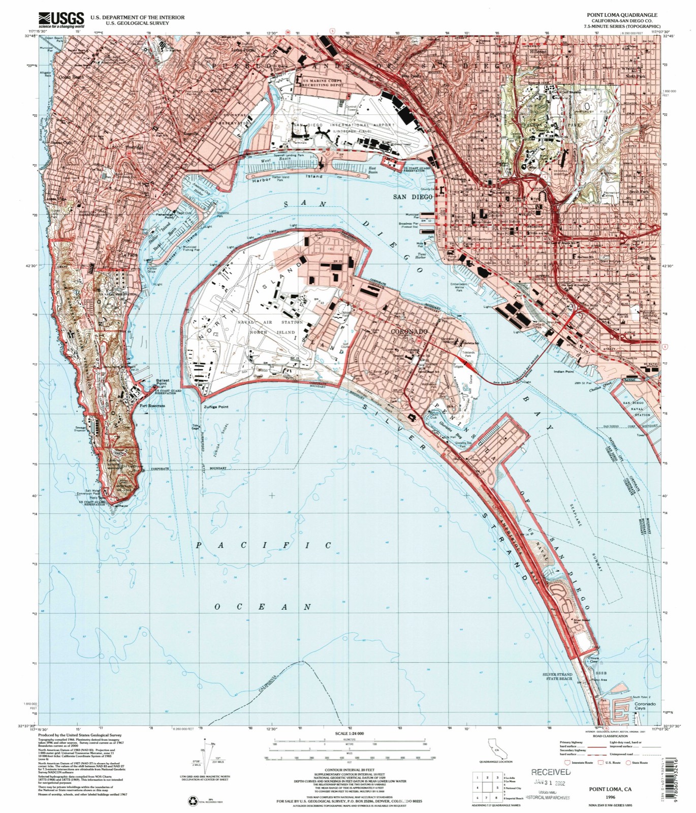
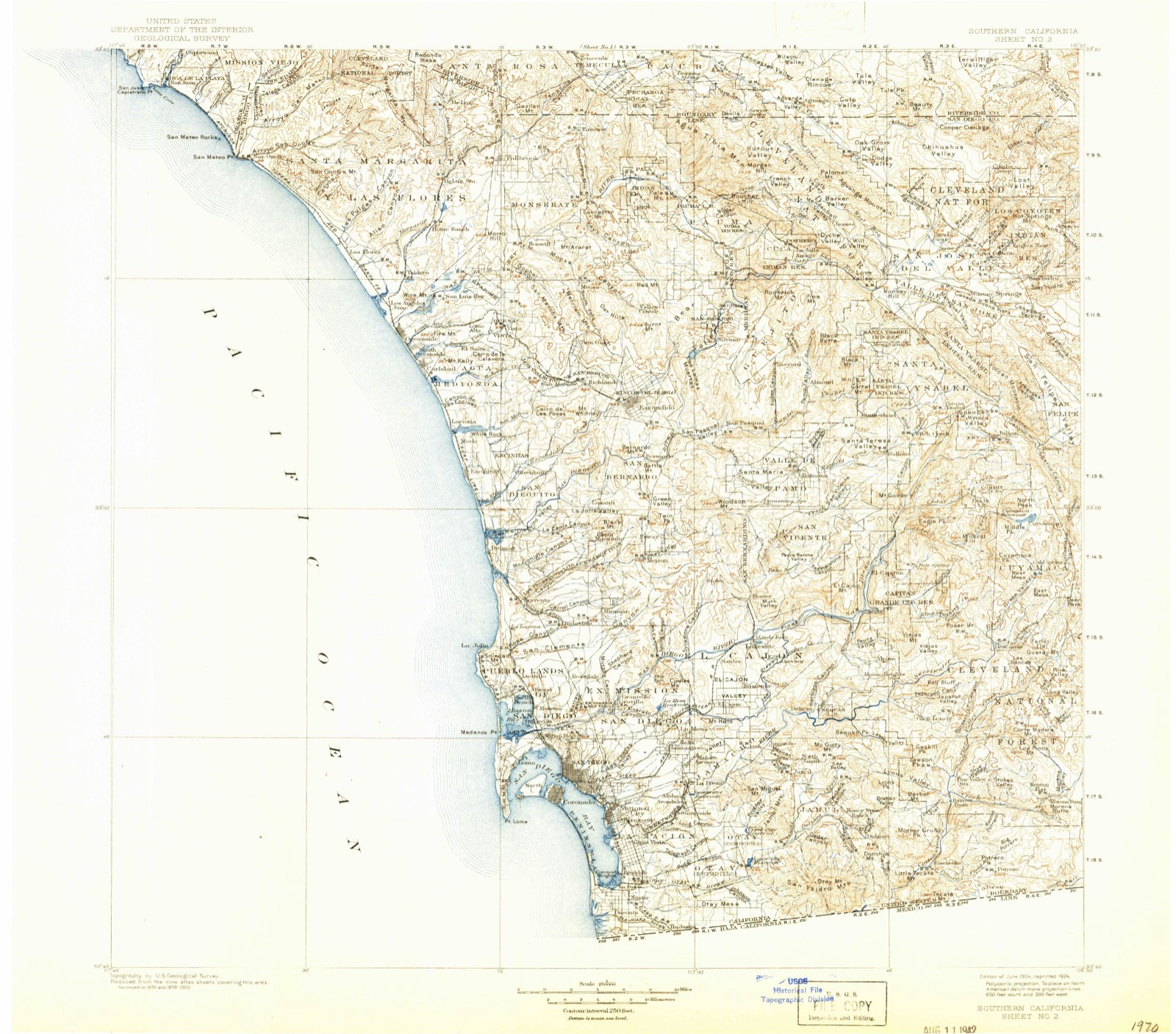
1904 to 1996The same ground, surveyed 92 years apart. Drag the handle to wipe between them. Both sheets are United States Geological Survey originals; neither has been altered.
Compare 1904 against another survey:
Topographic sheets covering this place
10 surveys from 24 printed sheetsMatched by testing this settlement's coordinate against the published boundary of every sheet in the United States Geological Survey's historical collection. Each opens the scanned sheet at the Survey.
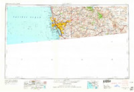
- 1904 USGS Southern California Sheet No. 2 quadrangle1:250000, 5 printings
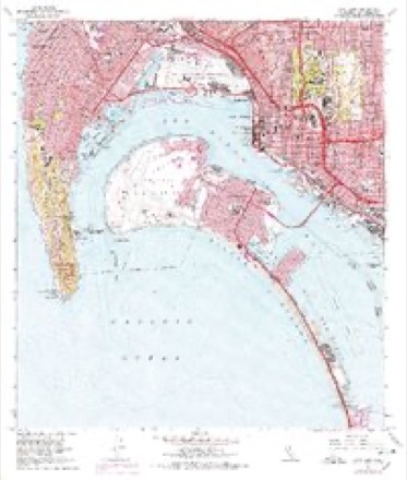
- 1942 USGS Point Loma quadrangle1:31680, 2 printings
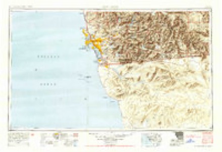
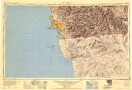
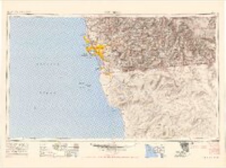
- 1950 USGS San Diego quadrangle1:250000
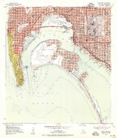
- 1953 USGS Point Loma quadrangle1:24000
- 1954 USGS San Diego quadrangle1:250000
- 1955 USGS San Diego quadrangle1:250000
- 1958 USGS San Diego quadrangle1:250000, 4 printings
- 1967 USGS Point Loma quadrangle1:24000, 5 printings
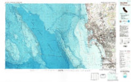
- 1979 USGS San Diego quadrangle1:100000, 3 printings
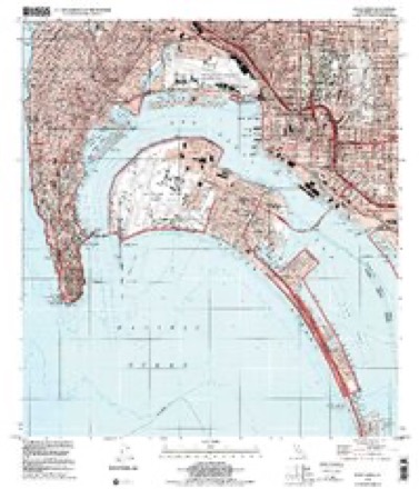
- 1996 USGS Point Loma quadrangle1:24000
Fires near this place
97 since 2003Regional context, not property-specific evidence. The federal wildfire occurrence database lists 97 fires within 5 miles of Ocean Beach between 2003 and 2020, burning about 20 acres in total. 2 started naturally. 18 were recorded as arson. Distance is straight-line from the map coordinates, so a fire counted here may appear on a neighbouring settlement's page as well.
| Reported cause | Fires |
|---|---|
| Missing data/not specified/undetermined | 54 |
| Arson/incendiarism | 18 |
| Debris and open burning | 9 |
| Misuse of fire by a minor | 5 |
| Smoking | 5 |
| Equipment and vehicle use | 3 |
| Natural | 2 |
| Power generation/transmission/distribution | 1 |
The most recent of them, most recent first, with the day each was reported and the service that recorded it.
| Date | Cause | Size | Reported by | Name on the report |
|---|---|---|---|---|
| 5 September 2006 | Debris and open burning | under an acre | California Department of Forestry & Fire Protection | not named |
| 5 September 2005 | Debris and open burning | under an acre | California Department of Forestry & Fire Protection | not named |
| 25 September 2005 | Debris and open burning | under an acre | California Department of Forestry & Fire Protection | not named |
| 20 September 2018 | Missing data/not specified/undetermined | under an acre | California Department of Forestry & Fire Protection | not named |
| 20 September 2005 | Natural | under an acre | California Department of Forestry & Fire Protection | not named |
| 20 September 2005 | Natural | under an acre | California Department of Forestry & Fire Protection | not named |
| 19 September 2010 | Arson/incendiarism | under an acre | California Department of Forestry & Fire Protection | not named |
| 18 September 2006 | Debris and open burning | under an acre | California Department of Forestry & Fire Protection | not named |
Settlements close enough to share some of these fires:
Mines and quarries near this place
2 within 5 milesRegional context, not property-specific evidence. The federal mineral resources record lists 2 workings within 5 miles of Ocean Beach: 2 past producers. None of them still produces. What was taken out: Salt, Clay. Distance is straight-line from the map coordinates, so a quarry counted here may appear on a neighbouring settlement's page as well.
| Where | Site | Commodity | Status | Recorded |
|---|---|---|---|---|
| Portuguese Flat | Salt | Past Producer | ||
| Union Brick Company Mine, West Pit | Clay | Past Producer |
Storms near this place
12 since 1998Regional context, not property-specific evidence. The National Weather Service names Ocean Beach in 12 storm reports between 1998 and 2015: 3 flood, 2 waterspout, 2 rip current, 2 funnel cloud. The reports record 2 deaths. Each account below is quoted exactly as the forecast office filed it, from the NOAA Storm Events Database, and each date opens the federal record of that event.
| When | Event | Place named | Harm | What the report says |
|---|---|---|---|---|
| May 1999 | Rip Current | Ocean Beach | 1 killed | A 22 year old student from Switzerland who went out in rough surf, got caught in a rip current off Sunset Cliffs Park near the end of Guizot Street and drowned. |
| March 2001 | Rip Current | Ocean Beach | 1 killed | no account filed |
| February 2014 | Thunderstorm Wind | Ocean Beach | $8,000 | Fox 5 news reported a large tree down in Ocean Beach. San Diego Lindbergh ASOS had a gust of 45 mph at the time. This storm was on the southern end of a squall line (no lightning detected), so possible wet microburst mixing down 50 mph winds at 1 to 2 kft. The same news station reported a 50-year-old tree downed by high winds near downtown San Diego around the same time. Several other trees were downed in the area with this line as well. |
| December 1998 | Storm Surge/Tide | Ocean Beach | $2,500 | no account filed |
| May 2015 | Flash Flood | Ocean Beach | - | There were reports of San Diego fire and police responding to multiple (6 incidents) swift water rescues in the Midway and Mission Hills neighborhoods. |
| November 2015 | Flood | Ocean Beach | - | News media reports flooding near Federal Blvd. and San Miguel Ave in Lemon Grove, with debris also covering the road. Two blocks were impassable with water up to the doors of vehicles on College Ave. off of State Route 94. Pacific Highway was closed from Juniper to Laurel Streets due to flooding. San Diego County officials reported that Quarry Dip Road was closed between Lakeview Road and State Route 125 in Spring Valley due to flooding. |
| December 2012 | Flood | Ocean Beach | - | Media reports road closures and stalled cars at the intersection of Midway and Rosecrans. At least 5 motorists were trapped in their vehicles and had to be rescued by the lifeguard water rescue team. Roadway flooding was also reported along Sports Arena and West Mission Bay Drive, as well as northbound Interstate 5 and Garnet, where one vehicle was stuck in water. Lifeguard rescue crews retrieved a man trapped in his stalled vehicle along Ingraham just south of Sea World. CHP reported two highway ramp closures due to flooding: the I-5 northbound onramp at 28th Street and the off ramp at SR-163 and Washington. Flooding also reported on northbound I-5 at the Balboa off ramp. Several mudslides including one on south Interstate 5 at Balboa Avenue and another on Regents Road near SR 52, where mud was covering all lanes at 0500 PST. |
| February 2004 | Funnel Cloud | Ocean Beach | - | no account filed |
| February 2001 | Waterspout | Ocean Beach | - | no account filed |
| June 2000 | Funnel Cloud | Ocean Beach | - | no account filed |
| February 1998 | Flood | Ocean Beach | - | no account filed |
| February 1998 | Waterspout | Ocean Beach | - | no account filed |
Nearest settlements
The eight closest, with where each one stands in the county. Distances are straight-line, computed from the Geographic Names Information System coordinates.
| Map | Place | Distance | Sheets |
|---|---|---|---|
| Sunset Cliffs | 1.0 miles | 24 | |
| Riviera Villas | 1.2 miles | 24 | |
| Fleetridge | 1.2 miles | 34 | |
| Roseville | 1.7 miles | 34 | |
| Azure Vista | 1.8 miles | 15 | |
| Loma Portal | 1.9 miles | 34 | |
| La Playa | 2.3 miles | 34 | |
| Mission Beach | 2.6 miles | 23 |
Provenance
This settlement is recorded in the Geographic Names Information System as feature 1661134. The sheet list is computed by point-in-boundary test against the United States Geological Survey's historical topographic inventory. Both are works of the United States government and carry no copyright under 17 U.S.C. 105.
Wildfire. Short, Karen C. 2022. Spatial wildfire occurrence data for the United States, 1992-2020 [FPA_FOD_20221014]. 6th Edition. Fort Collins, CO: Forest Service Research Data Archive. https://doi.org/10.2737/RDS-2013-0009.6 Collected with United States Government funding and usable without additional permissions or fees.
Mines and quarries. USGS Mineral Resources Data System (MRDS) https://mrdata.usgs.gov/mrds/ A work of the United States government, no copyright under 17 U.S.C. 105.
Storms. NOAA National Centers for Environmental Information, Storm Events Database https://www.ncei.noaa.gov/stormevents/ A work of the United States government, no copyright under 17 U.S.C. 105. Narratives are quoted verbatim from the National Weather Service report and are not edited or summarised.