 Block
BlockSorrento, California
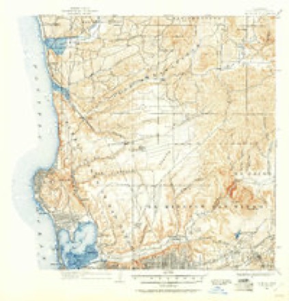
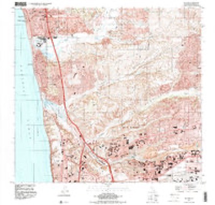
35 topographic sheets cover this place, the earliest surveyed in 1903 and the latest in 1994. It stands in the San Diego census division. It lies in ZIP code area 92121. It lies near Los Peñasquitos Canyon. The Survey maps it on the Del Mar quadrangle.
Then and now
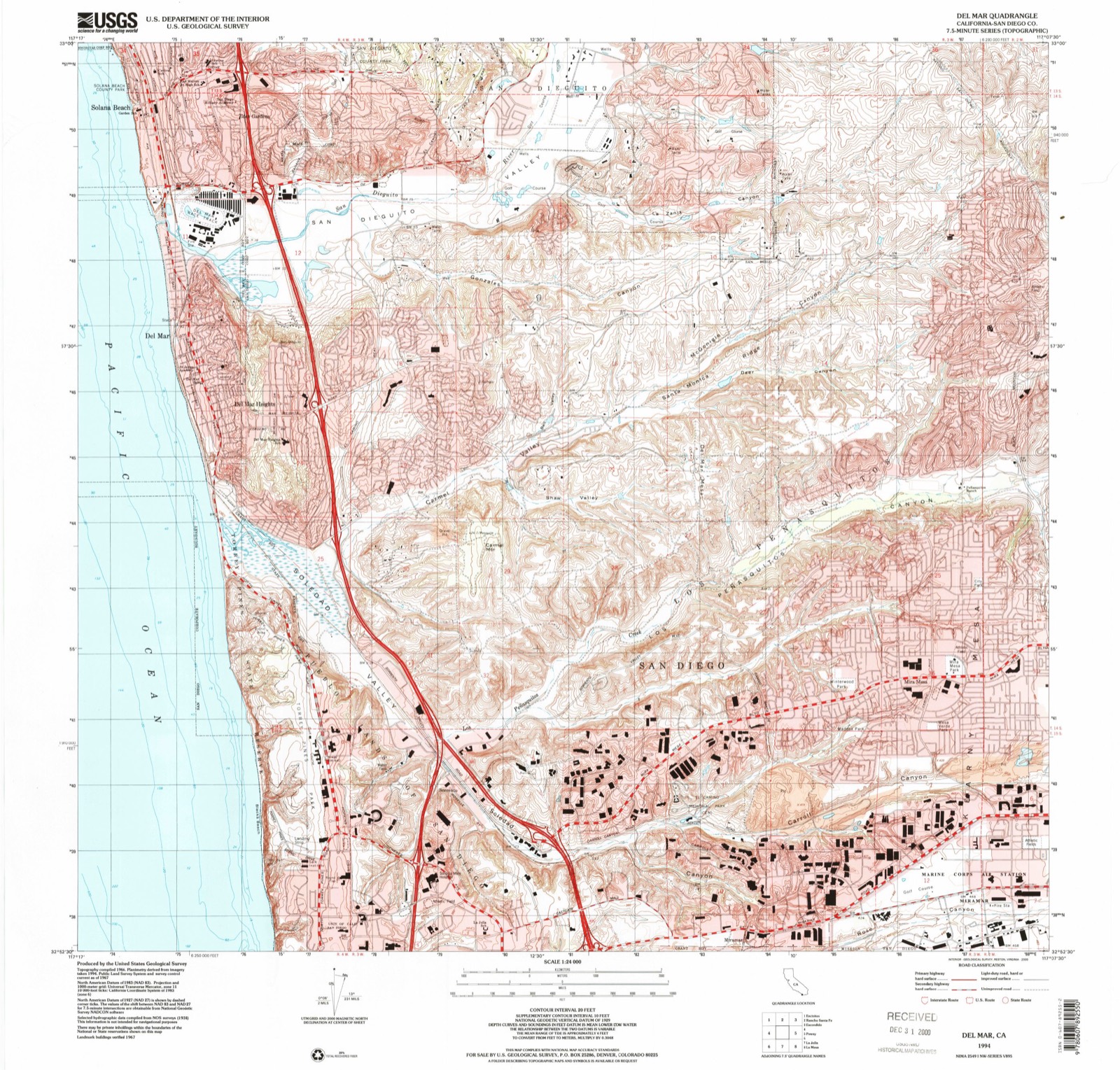
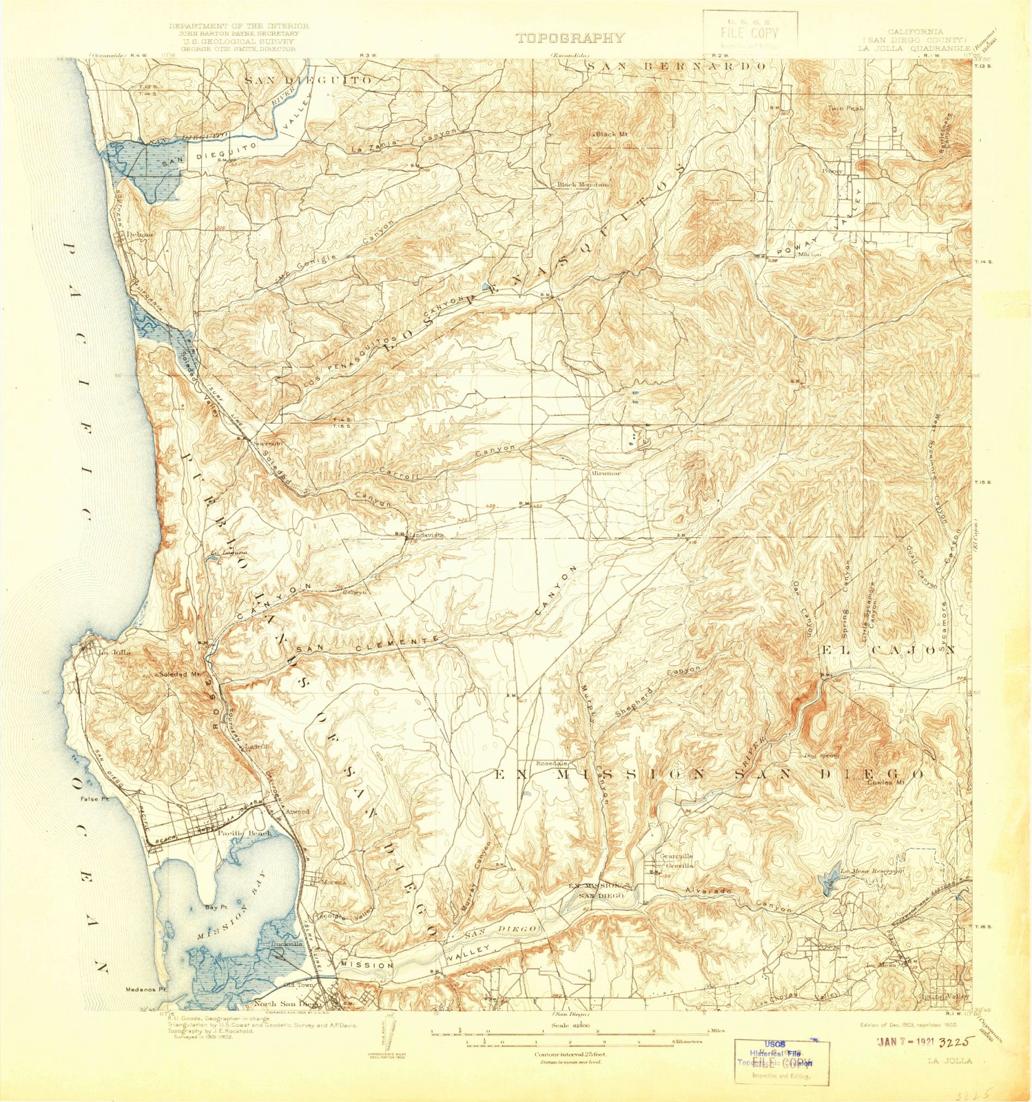
1903 to 1994The same ground, surveyed 91 years apart. Drag the handle to wipe between them. Both sheets are United States Geological Survey originals; neither has been altered.
Compare 1903 against another survey:
Topographic sheets covering this place
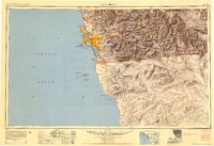
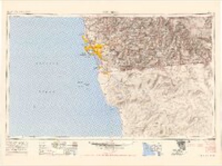
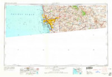
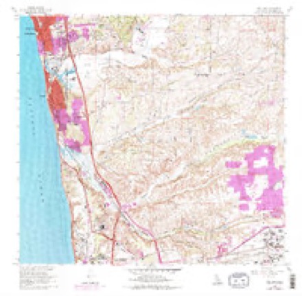
12 surveys from 35 printed sheetsMatched by testing this settlement's coordinate against the published boundary of every sheet in the United States Geological Survey's historical collection. Each opens the scanned sheet at the Survey.
- 1903 USGS La Jolla quadrangle1:62500, 9 printings
- 1904 USGS Southern California Sheet No. 2 quadrangle1:250000, 5 printings
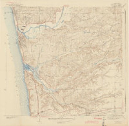
- 1930 USGS La Jolla quadrangle1:62500, 2 printings
- 1943 USGS Del Mar quadrangle1:31680, 2 printings
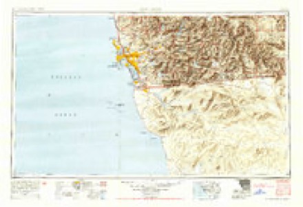
- 1950 USGS San Diego quadrangle1:250000
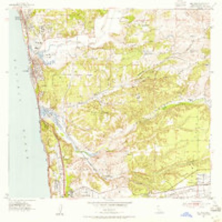
- 1953 USGS Del Mar quadrangle1:24000, 3 printings
- 1954 USGS San Diego quadrangle1:250000
- 1955 USGS San Diego quadrangle1:250000
- 1958 USGS San Diego quadrangle1:250000, 4 printings
- 1967 USGS Del Mar quadrangle1:24000, 3 printings
- 1979 USGS San Diego quadrangle1:100000, 3 printings
- 1994 USGS Del Mar quadrangle1:24000
Fires near this place
80 since 2005Regional context, not property-specific evidence. The federal wildfire occurrence database lists 80 fires within 5 miles of Sorrento between 2005 and 2020, burning about 134 acres in total. None started naturally. 14 were recorded as arson. Distance is straight-line from the map coordinates, so a fire counted here may appear on a neighbouring settlement's page as well.
| Reported cause | Fires |
|---|---|
| Missing data/not specified/undetermined | 43 |
| Arson/incendiarism | 14 |
| Debris and open burning | 7 |
| Equipment and vehicle use | 7 |
| Smoking | 6 |
| Misuse of fire by a minor | 3 |
The most recent of them, most recent first, with the day each was reported and the service that recorded it.
| Date | Cause | Size | Reported by | Name on the report |
|---|---|---|---|---|
| 4 September 2009 | Arson/incendiarism | under an acre | California Department of Forestry & Fire Protection | not named |
| 4 September 2005 | Debris and open burning | under an acre | California Department of Forestry & Fire Protection | not named |
| 30 September 2009 | Missing data/not specified/undetermined | under an acre | California Department of Forestry & Fire Protection | not named |
| 30 September 2009 | Missing data/not specified/undetermined | under an acre | California Department of Forestry & Fire Protection | not named |
| 27 September 2005 | Debris and open burning | under an acre | California Department of Forestry & Fire Protection | not named |
| 23 September 2010 | Missing data/not specified/undetermined | 1.0 acres | California Department of Forestry & Fire Protection | not named |
| 20 September 2006 | Debris and open burning | under an acre | California Department of Forestry & Fire Protection | not named |
| 8 August 2009 | Missing data/not specified/undetermined | 1.0 acres | California Department of Forestry & Fire Protection | not named |
Settlements close enough to share some of these fires:
Mines and quarries near this place
10 of 11 shownRegional context, not property-specific evidence. The federal mineral resources record lists 11 workings within 5 miles of Sorrento: 11 past producers. None of them still produces. What was taken out: Sand and Gravel, Construction, Clay. Distance is straight-line from the map coordinates, so a quarry counted here may appear on a neighbouring settlement's page as well.
| Where | Site | Commodity | Status | Recorded |
|---|---|---|---|---|
| La Jolla Clay Products Co. | Clay | Past Producer | Sedimentary | |
| La Jolla Clay Products Co. | Clay | Past Producer | ||
| Linda Vista Mine | Clay | Past Producer | ||
| Sorrento Brick and Clay Prod. | Clay | Past Producer | ||
| Union Brick Co. Mine, North Pit | Clay | Past Producer | ||
| Borrow Pit | Sand and Gravel, Construction | Past Producer | ||
| Carrol Canyon Pit | Sand and Gravel, Construction | Past Producer | ||
| Sorrento Sand Co Deposit | Sand and Gravel, Construction | Past Producer | Sedimentary | |
| Sorrento Sand Co. | Sand and Gravel, Construction | Past Producer | ||
| Sorrento Sand Pit | Sand and Gravel, Construction | Past Producer |
Storms near this place
15 since 2002Regional context, not property-specific evidence. The National Weather Service names Sorrento in 15 storm reports between 2002 and 2026: 7 flash flood, 4 flood, 1 wildfire, 1 hail. No death or injury is recorded in these reports. Each account below is quoted exactly as the forecast office filed it, from the NOAA Storm Events Database, and each date opens the federal record of that event.
| When | Event | Place named | Harm | What the report says |
|---|---|---|---|---|
| January 2016 | Thunderstorm Wind | Sorrento | $50,000 | A roof collapsed at the FedEx building in Miramar. |
| November 2019 | Flash Flood | Sorrento | $30,000 | Driver was rescued from his BMW after driving through 2 feet of water in Sorrento Valley. The vehicle was a total loss. |
| January 2016 | Flash Flood | Sorrento | $25,000 | CHP reported the northbound off-ramp from Interstate 5 to Grand Avenue was closed due to severe flooding, as well as the Genesee Avenue off-ramp from Interstate 5 was flooded with several cars stuck. TV media reported a sinkhole at the end of Avenida de la Playa in la Jolla as a result of the heavy rain. A little further south the public reported 6-12 of water flowing down Newport Avenue, over the sidewalks with minor flooding of local businesses in Ocean Beach. The public reported Ward Road in Mission Valley was flooded with several cars submerged. Nine high water rescues were performed in the greater San Diego area on January 6th. |
| January 2017 | Flash Flood | Sorrento | $15,000 | Rapid water rises after 1500PST flooded parts of Carroll Canyon Rd with 1-2 ft of rushing water. The flow carried dumpsters and debris. Three people were trapped in their vehicle that stalled as the water rose rapidly, resulting in multiple swift water rescues around 1530PST. |
| February 2017 | Flood | Sorrento | $10,000 | Flooding submerged two cars along Surrento Valley Rd. and Roselle St. |
| July 2015 | Flash Flood | Sorrento | $10,000 | CHP reported vehicles stranded in water at the intersection of Interstate 5 and Genesee on-ramp. |
| February 2002 | Wildfire | Sorrento | $10,000 | no account filed |
| January 2026 | Flood | Sorrento | - | Flooding on the I-5 on ramp from Sorrento Valley Rd. |
| March 2025 | Flash Flood | Sorrento | - | Four vehicles submerged in water up to the windows. Lifeguards rescued several. Rainfall rate as high as 1.1 inch in 1 hour. La Jolla Village and Villa La Jolla Drive. |
| March 2025 | Flash Flood | Sorrento | - | Corrects time for previous flash flood report from 6 NNE of Mission Beach. 4 vehicles submerged in water up to the windows. Lifeguards rescued several. Rainfall rate as high as 1.1 inch in 1 hour. La Jolla Village and Villa La Jolla Drive. |
| March 2025 | Flash Flood | Sorrento | - | Carroll Canyon Road and Pacific Heights Boulevard. 2 vehicles submerged in water, rescued by lifeguard boat. GW3482 weather station recorded 1.22 inches between 8 and 9 pm. Other stations recorded 1.07 and 1.16 inches. Miramar MCAS recorded 0.99 inches. |
| March 2023 | Flood | Sorrento | - | The off-ramp on I-5 North at La Jolla Village Drive was flooded. About 0.65 inch of rain fell in the previous 6 hours. |
| March 2022 | Heavy Rain | Sorrento | - | A crash occurred around 1 AM in the University City area of San Diego. Just before the crash at 12:55 AM, the Miramar MCAS ASOS KNKX (2-3 SM NE of crash) reported light rain and mist with a visibility of 2.5 miles. Light rain turned heavier after 1 AM with reduced visibility as low as 1.5 miles. All southbound lanes of I-805 were shut down from 1 AM - 8 AM, when two lanes were reopened to southbound drivers. Driver appeared to avoid serious injury but the truck burst into flames and firefighters were dispatched. |
| December 2018 | Flood | Sorrento | - | Broadcast media reported flooding in Sorrento Valley caused road closure on Carmel Valley Road. |
| June 2009 | Hail | Sorrento | - | Quarter-sized hail was reported in Del Mar Heights and Carmel Valley by the public in newspapers and on several websites. Exact locations and times were not reported, so storm track was based on radar data. |
Nearest settlements
The eight closest, with where each one stands in the county. Distances are straight-line, computed from the Geographic Names Information System coordinates.
| Map | Place | Distance | Sheets |
|---|---|---|---|
| Linda Vista (historical) | 3.0 miles | 35 | |
| Selwyn (historical) | 3.1 miles | 34 | |
| University City | 3.3 miles | 34 | |
| La Jolla Shores | 3.5 miles | 23 | |
| Del Mar Heights | 3.8 miles | 22 | |
| Mira Mesa | 4.3 miles | 35 | |
| Easter Cross | 4.4 miles | 34 | |
| Elvira (historical) | 4.4 miles | 34 |
Provenance
This settlement is recorded in the Geographic Names Information System as feature 1656634. The sheet list is computed by point-in-boundary test against the United States Geological Survey's historical topographic inventory. Both are works of the United States government and carry no copyright under 17 U.S.C. 105.
Wildfire. Short, Karen C. 2022. Spatial wildfire occurrence data for the United States, 1992-2020 [FPA_FOD_20221014]. 6th Edition. Fort Collins, CO: Forest Service Research Data Archive. https://doi.org/10.2737/RDS-2013-0009.6 Collected with United States Government funding and usable without additional permissions or fees.
Mines and quarries. USGS Mineral Resources Data System (MRDS) https://mrdata.usgs.gov/mrds/ A work of the United States government, no copyright under 17 U.S.C. 105.
Storms. NOAA National Centers for Environmental Information, Storm Events Database https://www.ncei.noaa.gov/stormevents/ A work of the United States government, no copyright under 17 U.S.C. 105. Narratives are quoted verbatim from the National Weather Service report and are not edited or summarised.