BlockBefore
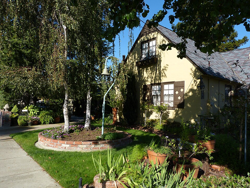
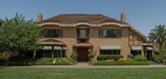
Photograph of Earl and Virginia Young House
Photograph by Gerosch, CC BY-SA 3.0. Via Wikimedia Commons.

Earl and Virginia Young House

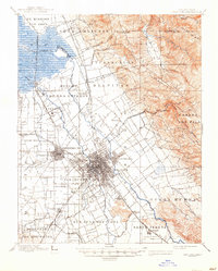
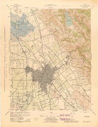
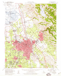
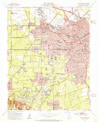
Built in 1928 (Tudor Revival architecture). Listed on the National Register of Historic Places in 2009. 13 historic topographic surveys show this location, the earliest from 1889.

From the record

“The Earl and Virginia Young House, also known as the Young-Sartorette House, stands as a historic residence in Campbell, California. Constructed in 1928, it served as the home for Earl Young, a successful orchard farmer in the Santa Clara Valley, and his family.”

Wikipedia article Earl and Virginia Young House, CC BY-SA 4.0.

One of 117 National Register listings published here for Santa Clara County · listed in 2009 · category: Building · built in 1928, Tudor Revival architecture.

Sources: the Wikipedia article · the case file at the National Archives · the National Register database, National Park Service
The listing

  • What is counted as historic. The nomination lists 2 buildingss as contributing to the listing.
  • Listed as. Young, Earl and Virginia, House - the National Register files a house under its owner's surname.
  • Address. 1888 White Oaks Rd., Campbell, 95008
  • When was it listed? January 2009
  • Category. building
  • Census division. San Jose
  • When was it built? 1928
  • Architectural style. Tudor Revival architecture
  • National Register reference number. 08001279 - the number the National Park Service assigned this property when it was listed, and the key its nomination file is catalogued under at the National Archives.
Then and now

1889 to 1978

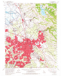
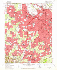
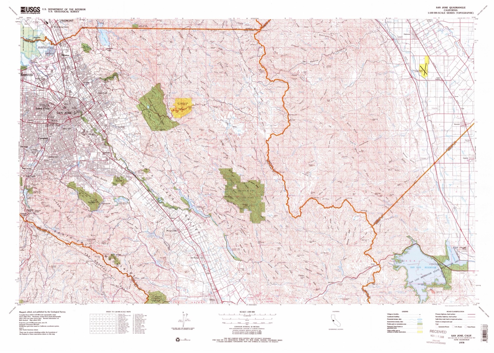
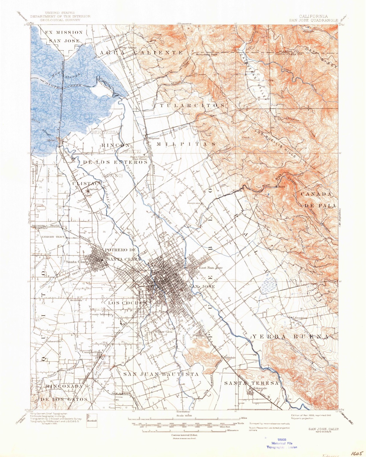
The ground this property stands on, surveyed 89 years apart. Drag the handle to wipe between them. Both sheets are United States Geological Survey originals; neither has been altered.

Topographic sheet covering Earl and Virginia Young House, surveyed 1978
Topographic sheet covering Earl and Virginia Young House, surveyed 1889

Fires near this property

199 since 1992

Regional context, not property-specific evidence. The federal wildfire occurrence database lists 199 fires within 5 miles of Earl and Virginia Young House between 1992 and 2020, burning about 117 acres in total. None started naturally. 25 were recorded as arson. Distance is straight-line from the map coordinates, so a fire counted here may appear on a neighbouring settlement's page as well.

Reported cause Fires
Missing data/not specified/undetermined108
Equipment and vehicle use28
Arson/incendiarism25
Smoking14
Misuse of fire by a minor10
Power generation/transmission/distribution8
Debris and open burning4
Recreation and ceremony2

The most recent of them, most recent first, with the day each was reported and the service that recorded it.

DateCause SizeReported by Name on the report
9 September 2019Power generation/transmission/distributionunder an acreSanta Clara Unitnot named
9 September 2018Missing data/not specified/undeterminedunder an acreCalifornia Department of Forestry & Fire Protectionnot named
6 September 2008Missing data/not specified/undeterminedunder an acreCalifornia Department of Forestry & Fire Protectionnot named
6 September 2000Equipment and vehicle useunder an acreSanta Clara UnitFEE
30 September 2016Missing data/not specified/undeterminedunder an acreCalifornia Department of Forestry & Fire Protectionnot named
29 September 2019Equipment and vehicle useunder an acreSanta Clara Unitnot named
28 September 2017Missing data/not specified/undeterminedunder an acreCalifornia Department of Forestry & Fire Protectionnot named
27 September 1997Missing data/not specified/undeterminedunder an acreSanta Clara UnitSCENIC VISTA

Every fire recorded in Santa Clara County

Mines and quarries near this property

10 of 26 shown

Regional context, not property-specific evidence. The federal mineral resources record lists 26 workings within 5 miles of Earl and Virginia Young House: 14 past producers, 7 producers, 2 prospects, 2 unknowns. 7 still produce. What was taken out: Sand and Gravel, Construction, Mercury, Stone, Stone, Crushed/Broken. Distance is straight-line from the map coordinates, so a quarry counted here may appear on a neighbouring settlement's page as well.

Where SiteCommodity StatusRecorded
John Knorr MineStone, DimensionUnknown
Steinheimer Ranch ProspectChromiumProspect
Douglas RanchCalciumProducer
Douglas RanchCalciumPast Producer
San Jose Brick & Tile Co.ClayPast ProducerSedimentary
San Jose Brick & Tile Co.ClayPast Producer
Downer PlantStoneUnknown
Guadalupe MineMercuryPast Producer1846, 1856
Lexington QuarryStone, Crushed/BrokenProducer
Lone HillStoneProducer

Every working recorded in Santa Clara County

Storms near this property

17 since 2010

Regional context, not property-specific evidence. The National Weather Service names Campbell, the town this property stands in, in 17 storm reports between 2010 and 2025: 16 flood, 1 lightning. The reports record 1 death. Each account below is quoted exactly as the forecast office filed it, from the NOAA Storm Events Database, and each date opens the federal record of that event.

WhenEvent Place namedHarm What the report says
January 2010FloodCampbell1 killedAs an arrest warrant was being served at a home in Campbell, a man ran into his backyard and hopped over a fence, where a cement drainage ditch was running at full capacity. The man tried to jump over the ditch but got caught in the water and dragged downstream. The Police Officers saw him try to keep his head above water, but he went under and drowned.
February 2023FloodCampbell$10CHP reported flooding on North Winchester Boulevard offramp for Interstate 280, closing the road.
February 2025FloodCampbell-Roadway flooding reported on southbound State Route 17 right before the offramp onto Hamilton Avenue, with the offramp reported as almost completely flooded.
December 2024FloodCampbell-Slow lane of southbound Interstate 280 was blocked west of Saratoga Avenue.
January 2020FloodCampbell-Roadway flooding at SR-17 S and Hamilton Ave off ramp.
February 2019FloodCampbell-A lot of standing water on the SB I-280 off ramp at Saratoga.
May 2019FloodCampbell-Roadway flooding on SB 280 at Saratoga Ave off ramp.
November 2019FloodCampbell-SB I-280 under Winchester Blvd is under 3 inches of water.
April 2018LightningCampbell-Media reported that a private jet was struck by lightning 5 miles west of Mineta San Jose International Airport.
December 2018FloodCampbell-Roadway flooding on southbound I-280 at Saratoga off ramp. Hydroplaning of cars have resulted in accidents.
January 2017FloodCampbell-Roadway flooding. 1 foot deep in right lane of I-280 and Saratoga Ave.
February 2017FloodCampbell-Water 2.5 feet deep blocking some lanes of I280 near Saratoga Ave off ramp.
February 2017FloodCampbell-Half a foot of water across entire SR17 NB off ramp to Hamilton Ave.
February 2015FloodCampbell-Car accident on Southbound Interstate 280 at South Saratoga Ave onramp due to standing water on the interstate.
February 2015FloodCampbell-Number one lane of Northbound State Route 17 at the Hamilton Ave On ramp flooded.
February 2014FloodCampbell-Flooding reported on the Interstate 280 Off Ramp at Saratoga.
January 2010FloodCampbell-Heavy rain led to flooding in the southbound lanes of State Route 17 in the vicinity of Hamilton Avenue. At least one lane of traffic was closed.

Every storm recorded in Santa Clara County

Maps showing this location

13 surveys

United States Geological Survey topographic sheets whose coverage includes this point. Matched by taking the coordinate the National Park Service records for this property, then testing that coordinate against the published boundary of every sheet.
Listed places nearby

6 within 8 miles

Other National Register properties close enough to walk or drive between, ordered by distance from this one. Both positions come from the same geocoding pass that matched these properties to their map sheets.

Sources for this property

National Archives recordThe nomination case file for reference 08001279 in Record Group 79.
Wikipedia articleCommunity-written account of this property, licensed CC BY-SA.
Santa Clara CountyAll 117 listed properties in this county.

Provenance

  • Listing record. National Park Service National Register of Historic Places, listed-properties dataset, current to 2026-05-22.
  • Map join. Address geocoded through the United States Census geocoder, then tested against the published boundary of every sheet in the USGS Historical Topographic Map Collection.
  • How this page is made. Listing fields come from federal records; map-sheet coverage is a labelled coordinate-to-boundary calculation, not a source-field claim.
  • Wildfire. Short, Karen C. 2022. Spatial wildfire occurrence data for the United States, 1992-2020 [FPA_FOD_20221014]. 6th Edition. Fort Collins, CO: Forest Service Research Data Archive. https://doi.org/10.2737/RDS-2013-0009.6 Collected with United States Government funding and usable without additional permissions or fees.
  • Mines and quarries. USGS Mineral Resources Data System (MRDS) https://mrdata.usgs.gov/mrds/ A work of the United States government, no copyright under 17 U.S.C. 105.
  • Storms. NOAA National Centers for Environmental Information, Storm Events Database https://www.ncei.noaa.gov/stormevents/ A work of the United States government, no copyright under 17 U.S.C. 105. Narratives are quoted verbatim from the National Weather Service report and are not edited or summarised.