Block
BlockFrom the record
One of 117 National Register listings published here for Santa Clara County · listed in 2018 · category: District.
Sources: the National Register database, National Park Service · the Wikipedia article
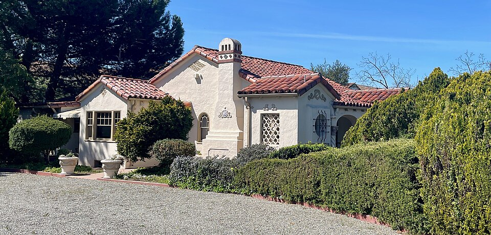
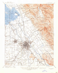
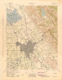
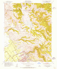
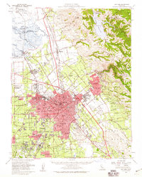
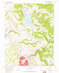
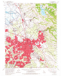
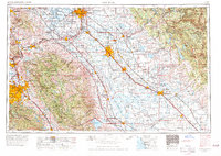
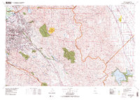
Listed on the National Register of Historic Places in 2018. 13 historic topographic surveys show this location, the earliest from 1889.
One of 117 National Register listings published here for Santa Clara County · listed in 2018 · category: District.
Sources: the National Register database, National Park Service · the Wikipedia article
The ground this property stands on, surveyed 89 years apart. Drag the handle to wipe between them. Both sheets are United States Geological Survey originals; neither has been altered.
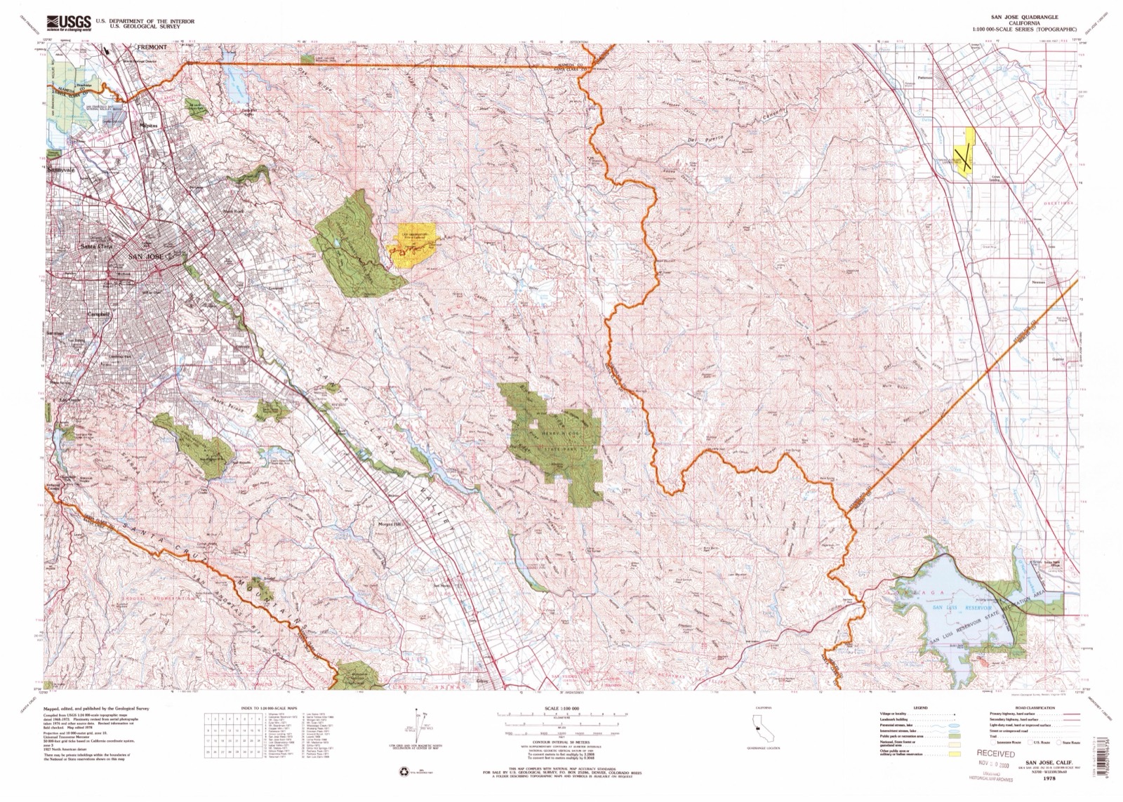
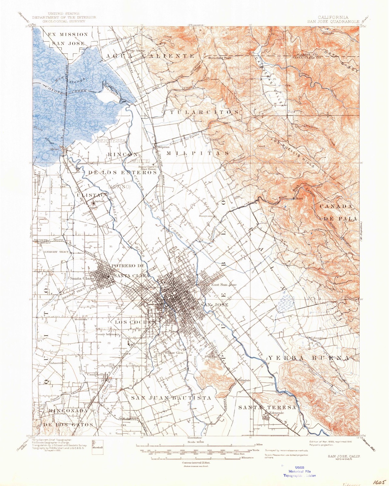
Regional context, not property-specific evidence. The federal wildfire occurrence database lists 96 fires within 5 miles of Messina Orchard between 1992 and 2020, burning about 697 acres in total. None started naturally. 5 were recorded as arson. Distance is straight-line from the map coordinates, so a fire counted here may appear on a neighbouring settlement's page as well.
| Reported cause | Fires |
|---|---|
| Missing data/not specified/undetermined | 58 |
| Equipment and vehicle use | 22 |
| Arson/incendiarism | 5 |
| Debris and open burning | 4 |
| Misuse of fire by a minor | 4 |
| Smoking | 2 |
| Power generation/transmission/distribution | 1 |
The most recent of them, most recent first, with the day each was reported and the service that recorded it.
| Date | Cause | Size | Reported by | Name on the report |
|---|---|---|---|---|
| 9 September 2016 | Missing data/not specified/undetermined | under an acre | California Department of Forestry & Fire Protection | not named |
| 7 September 2020 | Missing data/not specified/undetermined | under an acre | Santa Clara Unit | not named |
| 5 September 2011 | Missing data/not specified/undetermined | 2.5 acres | Santa Clara Unit | ROCK |
| 4 September 2006 | Missing data/not specified/undetermined | 2.0 acres | Santa Clara Unit | FELTER |
| 3 September 2005 | Equipment and vehicle use | under an acre | Santa Clara Unit | SIERRA |
| 27 September 2017 | Smoking | under an acre | California Department of Forestry & Fire Protection | not named |
| 23 September 2015 | Missing data/not specified/undetermined | under an acre | Santa Clara Unit | FELTER |
| 21 September 2000 | Arson/incendiarism | 6.0 acres | Santa Clara Unit | SOTO |
Regional context, not property-specific evidence. The federal mineral resources record lists 26 workings within 5 miles of Messina Orchard: 14 past producers, 5 producers, 3 prospects, 3 unknowns. 5 still produce. What was taken out: Manganese, Clay, Stone, Sand and Gravel, Construction. Distance is straight-line from the map coordinates, so a quarry counted here may appear on a neighbouring settlement's page as well.
| Where | Site | Commodity | Status | Recorded |
|---|---|---|---|---|
| Calaveras Road Pit | Stone, Dimension | Unknown | ||
| Gravel Pit | Sand and Gravel, Construction | Past Producer | ||
| Gravel Pit | Sand and Gravel, Construction | Unknown | ||
| Gravel Pit | Sand and Gravel, Construction | Past Producer | ||
| Quarry | Sand and Gravel, Construction | Past Producer | ||
| Calaveras Quarry | Stone | Producer | ||
| Fredrickson-Wetson | Stone | Producer | ||
| Fredrickson-Wetson | Stone | Past Producer | ||
| Quarry | Stone | Prospect | ||
| Roggasch Bros. Quarry | Stone | Unknown |
Regional context, not property-specific evidence. The National Weather Service names San Jose, the town this property stands in, in 33 storm reports between 1997 and 2024: 19 flood, 6 hail, 4 flash flood, 3 lightning. The reports record 1 injury. Each account below is quoted exactly as the forecast office filed it, from the NOAA Storm Events Database, and each date opens the federal record of that event.
| When | Event | Place named | Harm | What the report says |
|---|---|---|---|---|
| October 2016 | Flood | San Jose | 1 hurt | One person was reported possibly trapped inside a car on northbound Highway 280 south of the 87 connector near the Reed Street offramp before 6 a.m. 10/27, according to the CHP and San Jose firefighters. ||Http://www.nbcbayarea.com/news/local/Slow-Down-Accidents-Abound-in-Bay-Area-as-Rain-Pelts-Highways-399016231.html. |
| December 1997 | Tornado (F0) | San Jose | $20,000 | weak tornado damaged some trailers in a trailer park. Minor damage to a few trailers. |
| February 2014 | Flash Flood | San Jose | $500 | Several inches of standing water covering all lanes near Interstate 280 and Highway 87. |
| January 2024 | Flood | San Jose | $10 | Standing water approximately 6 inches deep was reported on the offramp from Northbound Interstate 280 to Bird Avenue. |
| January 2024 | Flood | San Jose | - | Flooding was reported on southbound Interstate 280 north of California Highway 87 and on the ramp to Highway 87. |
| February 2024 | Flood | San Jose | - | Flooding was reported in the number 3 and 4 lanes of northbound Interstate 280 just south of California Highway 87. |
| March 2021 | Flood | San Jose | - | Roadway flooding northbound 280 & 87 due to heavy rain. |
| January 2021 | Flood | San Jose | - | Roadway flooding at I-280 S and SR-87 connector, approximately 8 inches of water in road. |
| January 2020 | Flood | San Jose | - | Roadway flooding on SR-87 N and I-280 connector. Standing water in north bound and south bound lanes. |
| August 2020 | Lightning | San Jose | - | Lightning struck two houses in San Jose, setting one on fire https://sanfrancisco.cbslocal.com/2020/08/16/lightning-from-rare-bay-area-thunderstorm-leaves-damage-in-its-wake/. Amount of damage unknown. |
| January 2019 | Flood | San Jose | - | All lanes flooded on connecting ramp of I 280N and SR 87. |
| February 2019 | Hail | San Jose | - | Spotter reports slightly larger than pea-sized hail near 101-280/680. |
| March 2019 | Lightning | San Jose | - | A thunderstorm over San Jose produced small accumulating hail and lightning. Circ De Sole in San Jose was canceled due to lightning. |
| March 2019 | Hail | San Jose | - | Accumulating hail reported in San Jose. |
| March 2019 | Hail | San Jose | - | Multiple reports of small accumulating hail. |
| March 2019 | Lightning | San Jose | - | Video on social media showing lightning striking a transformer causing it to explode. |
| April 2018 | Flood | San Jose | - | Roadway flooding reported on SB-87 to SB-280 connecting ramp. |
| January 2018 | Hail | San Jose | - | BB sized hail. |
| January 2018 | Flood | San Jose | - | Roadway flooding reported at I280 S and 10th Street off ramp. |
| March 2018 | Hail | San Jose | - | Small hail reprted on I-87 in San Jose. |
| April 2018 | Hail | San Jose | - | Small hail reported at San Jose State University. |
| January 2017 | Flood | San Jose | - | Roadway flooding along hwy 280. |
| February 2017 | Flood | San Jose | - | Multiple homes flooded in the San Jose Nordale area at Senter and Phelan. |
| February 2017 | Flood | San Jose | - | All lanes flooded SR 87 southbound jno Park Ave off ramp. |
| October 2016 | Flood | San Jose | - | Even as the sun began to break through as the rain eased up, drivers discovered flooded roads. One full lane of Senter Road across from San Jose's Kelley Park was impassable. Despite a warning sign, some big rigs and smaller vehicles plowed through the small lake anyway.||Http://abc7news.com/weather/heavy-rain-drenches-south-bay-/1578706/. |
| December 2016 | Flood | San Jose | - | Roadway flooding reported on US 101 NB to NB 680. |
| December 2016 | Flood | San Jose | - | Roadway flooding reported on I280N to SR87 connecting ramp. |
| February 2015 | Flood | San Jose | - | Roadway flooding on Northbound Interstate 280 at the North Bird Ave off ramp. |
| December 2014 | Flood | San Jose | - | Flooding blocks left lane of Northbound CA 87 connector ramp to Northbound Interstate 280 in San Jose. |
| February 2014 | Flood | San Jose | - | Roadway flooding reported on Walters Road. |
| February 1998 | Flash Flood | San Jose | - | Guadalupe River at Blossom Hill Blvd. |
| February 1998 | Flash Flood | San Jose | - | Ross Creek at Cherry street. |
| February 1998 | Flash Flood | San Jose | - | Coyote Creek at Edenvale |
United States Geological Survey topographic sheets whose coverage includes this point. Matched by taking the coordinate the National Park Service records for this property, then testing that coordinate against the published boundary of every sheet.
Other National Register properties close enough to walk or drive between, ordered by distance from this one. Both positions come from the same geocoding pass that matched these properties to their map sheets.
| Photograph | Property | Distance | Listed |
|---|---|---|---|
| Our Lady of Guadalupe Mission Chapel (1953-1960) | 1.7 miles | ||
 | Our Lady of Guadalupe Mission Chapel (1953-1960) | 1.7 miles | |
|
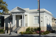 | East San Jose Carnegie Library | 2.3 miles | 1990 |
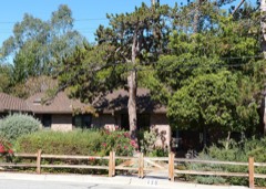 | Ernest & Emily Renzel House | 2.7 miles | 2010 |
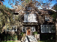 | Arthur Monroe Free House | 2.8 miles | 2002 |
| National Archives record | The nomination case file for reference 100002288 in Record Group 79. |
| Wikipedia article | Community-written account of this property, licensed CC BY-SA. |
| Santa Clara County | All 117 listed properties in this county. |