BlockBefore
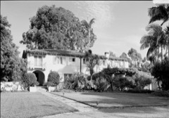
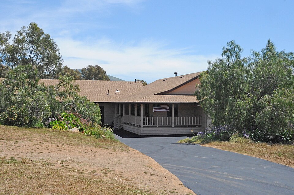
Photograph of Bumann Ranch
Photograph by JERRYE & ROY KLOTZ, M.D, CC BY-SA 4.0. Via Wikimedia Commons.

Bumann Ranch

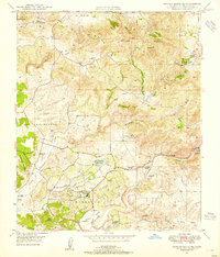
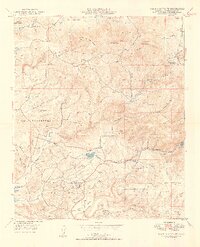
Listed on the National Register of Historic Places in 2020. 16 historic topographic surveys show this location, the earliest from 1893.

From the record

“Bumann Ranch is a ranch in Encinitas, California. Previously owned by German colonists, it was added to the National Register of Historic Places on March 6, 2020.”

Wikipedia article Bumann Ranch, CC BY-SA 4.0.

One of 148 National Register listings published here for San Diego County · listed in 2020 · category: Building.

Sources: the Wikipedia article · the National Register database, National Park Service
The listing

  • Address. 3666 Bumann Rd., Encinitas, 92024
  • When was it listed? March 2020
  • Category. building
  • Census division. San Diego
  • National Register reference number. 100004937 - assigned by the National Park Service when the property was listed.
Then and now

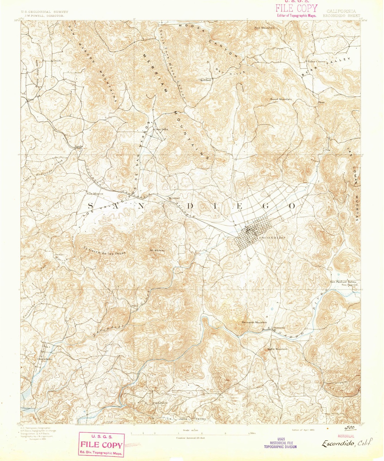
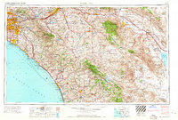
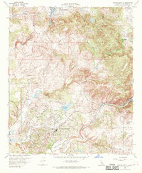
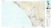
1893 to 1996

The ground this property stands on, surveyed 103 years apart. Drag the handle to wipe between them. Both sheets are United States Geological Survey originals; neither has been altered.

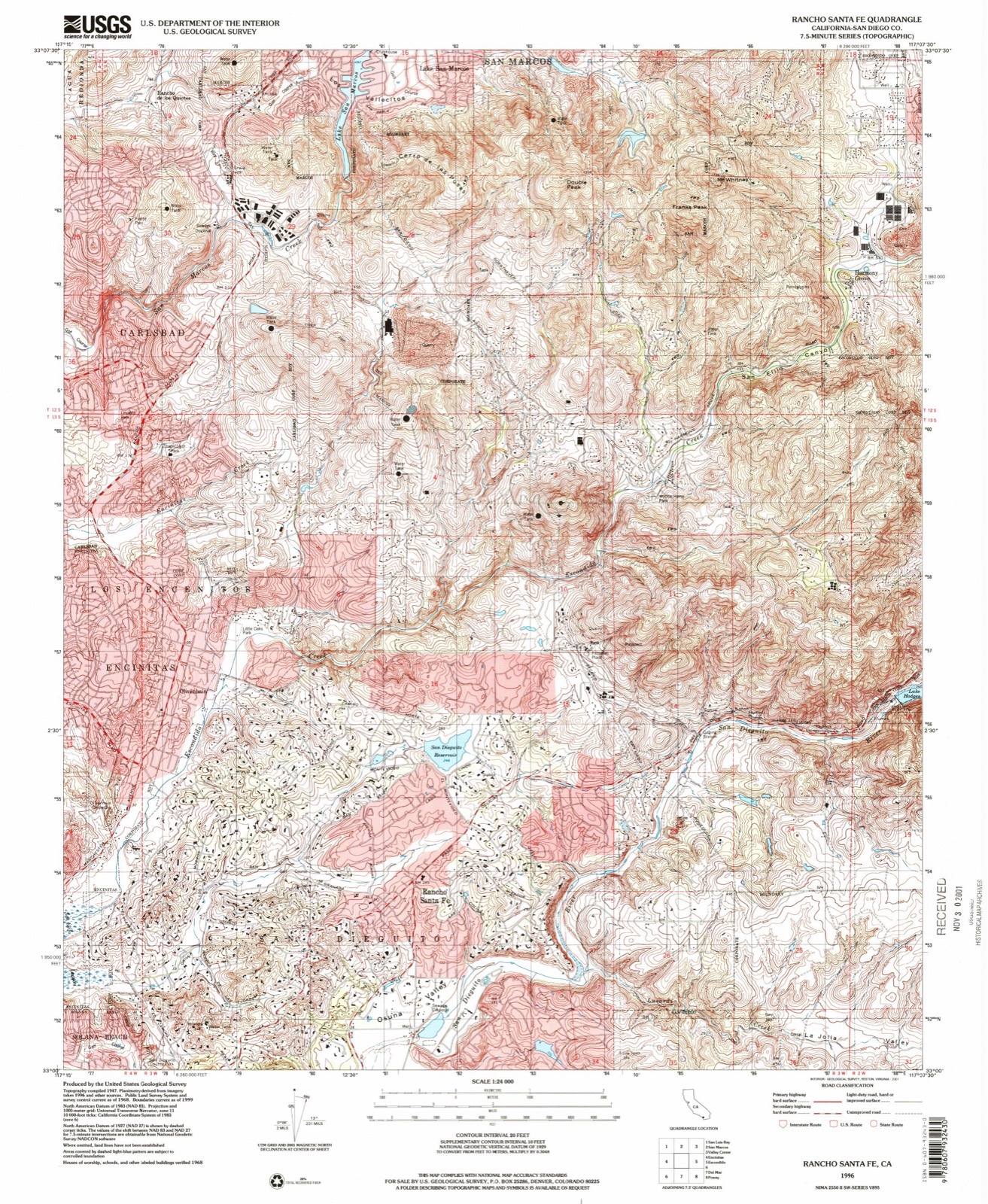
Topographic sheet covering Bumann Ranch, surveyed 1996
Topographic sheet covering Bumann Ranch, surveyed 1893

Fires near this property

173 since 1992

Regional context, not property-specific evidence. The federal wildfire occurrence database lists 173 fires within 5 miles of Bumann Ranch between 1992 and 2020, burning about 8,865 acres in total. None started naturally. 10 were recorded as arson. Distance is straight-line from the map coordinates, so a fire counted here may appear on a neighbouring settlement's page as well.

Reported cause Fires
Missing data/not specified/undetermined93
Equipment and vehicle use51
Arson/incendiarism10
Recreation and ceremony8
Misuse of fire by a minor4
Smoking4
Power generation/transmission/distribution2
Railroad operations and maintenance1

The most recent of them, most recent first, with the day each was reported and the service that recorded it.

DateCause SizeReported by Name on the report
7 September 1999Missing data/not specified/undeterminedunder an acreSan Diego UnitHARMONY
5 September 2004Equipment and vehicle use4.0 acresSan Diego UnitHARMONY
3 September 1997Equipment and vehicle use1.5 acresSan Diego UnitHORIZON
3 September 1993Missing data/not specified/undeterminedunder an acreSan Diego UnitMEADOWLARK
27 September 2001Equipment and vehicle useunder an acreSan Diego UnitCHICKEN
26 September 1992Missing data/not specified/undeterminedunder an acreSan Diego UnitHERRMANN
24 September 2004Equipment and vehicle use2.0 acresSan Diego UnitBERNARDO
24 September 1997Arson/incendiarism1,230 acresCalifornia Desert DistrictDEL DIOS

Every fire recorded in San Diego County

Mines and quarries near this property

10 of 29 shown

Regional context, not property-specific evidence. The federal mineral resources record lists 29 workings within 5 miles of Bumann Ranch: 12 past producers, 7 prospects, 6 producers, 4 occurrences. 6 still produce. What was taken out: Gold, Copper, Clay, Aluminum. Distance is straight-line from the map coordinates, so a quarry counted here may appear on a neighbouring settlement's page as well.

Where SiteCommodity StatusRecorded
EncinitasCopper, LeadPast ProducerVein
Carmean QuarryStoneProducer
Carmean QuarryStone, Crushed/BrokenPast Producer
Coast Sand PitSand and Gravel, ConstructionProducer
Greenstone QuarryStoneProducer
Greenstone QuarryStone, Crushed/BrokenPast Producer
Harris DepositTalc-Soapstone, GoldPast Producer
Meadowlark Ranch QuarryStone, Crushed/BrokenPast Producer
Pioneer DepositTalc-SoapstonePast Producer
Pioneer MineTalc-SoapstoneProducerPyrophyllite

Every working recorded in San Diego County

Storms near this property

14 since 1998

Regional context, not property-specific evidence. The National Weather Service names Encinitas, the town this property stands in, in 14 storm reports between 1998 and 2024: 4 flood, 3 flash flood, 2 tornado, 2 thunderstorm wind. The reports record 27 injuries. Each account below is quoted exactly as the forecast office filed it, from the NOAA Storm Events Database, and each date opens the federal record of that event.

WhenEvent Place namedHarm What the report says
January 2003Rip CurrentEncinitas25 hurtno account filed
December 2000High SurfEncinitas2 hurtno account filed
April 2020Flash FloodEncinitas$70,000Encinitas Police Department is reporting 12 incidents of flooding and flash flooding in Encinitas. Several people have been evacuated from homes in the Encinitas Blvd/Quail Gardens Road area. Twenty persons evacuated from a nursing home. Debris flow also in flooded area up to window of structure at Sunshine Gardens Apartments.
February 2004Flash FloodEncinitas$30,000no account filed
January 2017Thunderstorm WindEncinitas$15,000A squall produced a short burst of 50-65 mph winds between Cardiff by the Sea and Lake Hodges. The mesonet station at Elfin Forest reported a peak wind gust of 64 mph. Tree damage was also reported.
March 2006Tornado (F0)Encinitas$1,500A waterspout came ashore in Encinitas and blew down a few trees before dissipating. One of the trees fell across some railroad tracks and temporarily halted train traffic.
March 2023Thunderstorm WindEncinitas$1,000A large tree was downed near Weidners Garden.
February 2024FloodEncinitas-Flooding reported at Vulcan Ave and Hygeia Ave. 1 to 1.35 inches of rain in past 6 hours and up to 0.50 in 1 hour.
January 2024FloodEncinitas-I-5 North/Leucadia South slow lane had standing water and dirt following a landslide in the area. One inch of rain fell in the prior 3 hours.
January 2023FloodEncinitas-Escondido Creek overflowed, and flooded fields and parking areas alongside the river and Rancho Santa Fe Road.
April 2020Flash FloodEncinitas-Flash flooding and debris on Encinitaas Blvd at Quail Gardens Road. Power lines fell into the water and were hazardous.
January 1998WaterspoutEncinitas-no account filed
January 1998Tornado (F1)Encinitas-no account filed
November 1998FloodEncinitas-no account filed

Every storm recorded in San Diego County

Maps showing this location

16 surveys

United States Geological Survey topographic sheets whose coverage includes this point. Matched by taking the middle of the area the National Park Service maps for this listing, then testing that coordinate against the published boundary of every sheet.
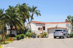
Listed places nearby

6 within 8 miles

Other National Register properties close enough to walk or drive between, ordered by distance from this one. Both positions come from the same geocoding pass that matched these properties to their map sheets.

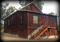
Photograph PropertyDistance Listed
Charles A. Shaffer House1.4 miles1991
Claude and Florence Terwilliger House1.7 miles1991
George A. C. Christiancy House2.1 miles1991
Olivenhain Town Meeting Hall2.2 miles1993
Samuel Bingham House2.3 miles1991
Norman and Florence B. Carmichael House2.4 miles1991

Sources for this property

National Archives recordThe nomination case file for reference 100004937 in Record Group 79.
Wikipedia articleCommunity-written account of this property, licensed CC BY-SA.
San Diego CountyAll 148 listed properties in this county.

Provenance

  • Listing record. National Park Service National Register of Historic Places, listed-properties dataset, current to 2026-05-22.
  • Map join. Address geocoded through the United States Census geocoder, then tested against the published boundary of every sheet in the USGS Historical Topographic Map Collection.
  • How this page is made. Listing fields come from federal records; map-sheet coverage is a labelled coordinate-to-boundary calculation, not a source-field claim.
  • Wildfire. Short, Karen C. 2022. Spatial wildfire occurrence data for the United States, 1992-2020 [FPA_FOD_20221014]. 6th Edition. Fort Collins, CO: Forest Service Research Data Archive. https://doi.org/10.2737/RDS-2013-0009.6 Collected with United States Government funding and usable without additional permissions or fees.
  • Mines and quarries. USGS Mineral Resources Data System (MRDS) https://mrdata.usgs.gov/mrds/ A work of the United States government, no copyright under 17 U.S.C. 105.
  • Storms. NOAA National Centers for Environmental Information, Storm Events Database https://www.ncei.noaa.gov/stormevents/ A work of the United States government, no copyright under 17 U.S.C. 105. Narratives are quoted verbatim from the National Weather Service report and are not edited or summarised.