Block
BlockFrom the record
One of 202 National Register listings published here for San Francisco County · listed in 2021 · category: Building.
Sources: the National Register database, National Park Service
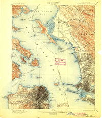
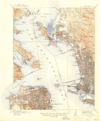
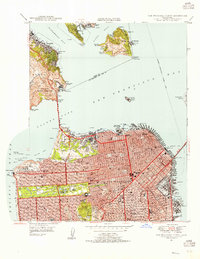
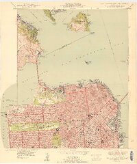
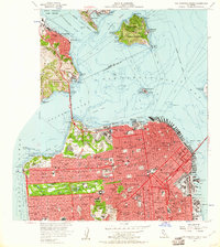
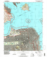
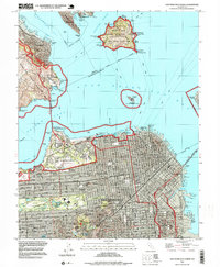
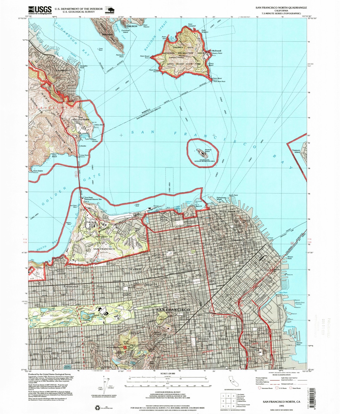
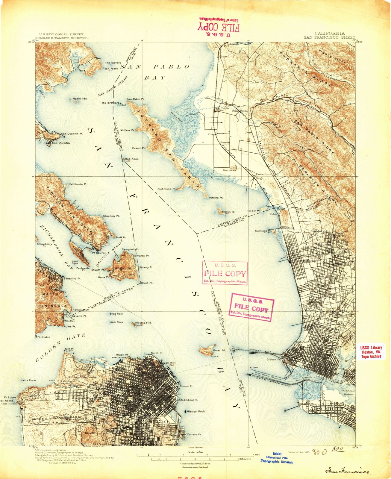
Listed on the National Register of Historic Places in 2021. 19 historic topographic surveys show this location, the earliest from 1895.
One of 202 National Register listings published here for San Francisco County · listed in 2021 · category: Building.
Sources: the National Register database, National Park Service
The ground this property stands on, surveyed 100 years apart. Drag the handle to wipe between them. Both sheets are United States Geological Survey originals; neither has been altered.
Regional context, not property-specific evidence. The federal wildfire occurrence database lists 246 fires within 5 miles of Alberta Candy Factory between 1992 and 2020, burning about 768 acres in total. 1 started naturally. 13 were recorded as arson. Distance is straight-line from the map coordinates, so a fire counted here may appear on a neighbouring settlement's page as well.
| Reported cause | Fires |
|---|---|
| Missing data/not specified/undetermined | 131 |
| Misuse of fire by a minor | 44 |
| Smoking | 31 |
| Arson/incendiarism | 13 |
| Recreation and ceremony | 13 |
| Equipment and vehicle use | 5 |
| Debris and open burning | 4 |
| Power generation/transmission/distribution | 2 |
| Railroad operations and maintenance | 1 |
| Fireworks | 1 |
| Natural | 1 |
The most recent of them, most recent first, with the day each was reported and the service that recorded it.
| Date | Cause | Size | Reported by | Name on the report |
|---|---|---|---|---|
| 9 September 2009 | Misuse of fire by a minor | 1.0 acres | California Department of Forestry & Fire Protection | not named |
| 9 September 2009 | Missing data/not specified/undetermined | 1.0 acres | California Department of Forestry & Fire Protection | not named |
| 9 September 2008 | Misuse of fire by a minor | 1.0 acres | California Department of Forestry & Fire Protection | not named |
| 8 September 2009 | Smoking | 200 acres | California Department of Forestry & Fire Protection | not named |
| 6 September 2008 | Misuse of fire by a minor | 1.0 acres | California Department of Forestry & Fire Protection | not named |
| 5 September 2020 | Missing data/not specified/undetermined | under an acre | San Mateo-Santa Cruz Unit | not named |
| 5 September 2019 | Arson/incendiarism | under an acre | San Mateo-Santa Cruz Unit | not named |
| 30 September 2017 | Missing data/not specified/undetermined | under an acre | California Department of Forestry & Fire Protection | not named |
Regional context, not property-specific evidence. The federal mineral resources record lists 11 workings within 5 miles of Alberta Candy Factory: 7 past producers, 2 producers, 1 occurrence, 1 prospect. 2 still produce. What was taken out: Stone, Crushed/Broken, Sand and Gravel, Construction, Mercury, Gold. Distance is straight-line from the map coordinates, so a quarry counted here may appear on a neighbouring settlement's page as well.
| Where | Site | Commodity | Status | Recorded |
|---|---|---|---|---|
| Black Mountain | Gold | Past Producer | ||
| Black Mtn. | Gold | Past Producer | Gold | |
| Mining Claim Loc. Quicksilver Fnd. | Mercury | Prospect | ||
| Unnamed Occurrence | Mercury | Occurrence | 1892 | |
| Quarry | Sand and Gravel, Construction | Past Producer | Sedimentary | |
| Quarry | Sand and Gravel, Construction | Past Producer | ||
| Quarry | Sand and Gravel, Construction | Past Producer | ||
| Causeway | Stone, Crushed/Broken | Producer | Sedimentary | |
| Causeway | Stone, Crushed/Broken | Past Producer | ||
| Southern Pacific Co. | Stone, Crushed/Broken | Producer | Sedimentary |
Regional context, not property-specific evidence. The National Weather Service names San Francisco, the town this property stands in, in 82 storm reports between 1996 and 2025: 54 flood, 12 heavy rain, 7 hail, 4 lightning. The reports record 4 injuries. Each account below is quoted exactly as the forecast office filed it, from the NOAA Storm Events Database, and each date opens the federal record of that event.
| When | Event | Place named | Harm | What the report says |
|---|---|---|---|---|
| March 2024 | Thunderstorm Wind | San Francisco | 4 hurt | A tree collapsed on a car early Friday evening at Golden Gate Avenue and Laguna Street, injuring 4 people in the vehicle. |
| September 2009 | Lightning | San Francisco | $120,000 | About 47,000 residents lost power around San Francisco as thunderstorms rolled through the city/county. The largest outage affected 36,000 customers in parts of Sunset, Glen Park and Park Merced neighborhoods. One lightning strike hit a power transformer causing it to explode. Besides the total destruction of the power transformer, two vehicles were damaged at the intersection of Broderick and Sacramento Roads. |
| December 2012 | Flood | San Francisco | $5,000 | The Church Street Muni station was shut down due to flooding, which resulted in a loss of service on the line from West Portal to the Embarcadero. |
| December 2012 | Flood | San Francisco | $100 | Law enforcement reports street flooding on 8th street. |
| March 2024 | Flood | San Francisco | $10 | Standing water in the slow lane of northbound US Highway 101 to eastbound Interstate 80. |
| February 2024 | Flood | San Francisco | $10 | A landslide blocked Market Street at 18th Street in San Francisco, causing the closure of westbound Market Street. |
| February 2023 | Flood | San Francisco | $10 | CHP reported flooding at the offramp from Southbound Interstate 280 to Cesar Chavez Street. |
| January 2017 | Lightning | San Francisco | $10 | Video of Sutro tower being struck by lightning shared on social media. |
| January 2017 | Hail | San Francisco | $10 | Multiple reports of pea sized hail near Glen park and Bernal Heights in San Francisco. |
| January 2017 | Hail | San Francisco | $10 | no account filed |
| January 2017 | Lightning | San Francisco | $10 | no account filed |
| December 2025 | Flood | San Francisco | - | Up to a foot of water was reported in lanes of eastbound Interstate 80 just west of 7th Street. |
| November 2025 | Heavy Rain | San Francisco | - | The downtown San Francisco station reported 1.14 inches of rain, breaking the daily record for November 17. |
| January 2024 | Flood | San Francisco | - | A vehicle was extracted from flood waters at Muir Drive and Skyline Highway. |
| February 2024 | Flood | San Francisco | - | Six inches of water were reported on the slow lane of Interstate 280 southbound near Cesar Chavez Street. |
| February 2024 | Flood | San Francisco | - | Several inches of water were flowing over streets and spraying out of manhole covers near San Francisco City Hall. |
| November 2024 | Flood | San Francisco | - | Photos and videos on X (formerly Twitter) showed flooding at the intersection of Alameda and henry Adams Streets. A car was stuck in the water and video showed water extending up the first step in a flight of stairs. |
| November 2024 | Heavy Rain | San Francisco | - | The downtown San Francisco COOP station recorded a new daily record rainfall of 2.97 inches for November 22. |
| December 2024 | Flood | San Francisco | - | Flooding across all lanes of southbound US Highway 101 south of the Van Ness Avenue onramp. |
| December 2022 | Flood | San Francisco | - | CHP reported around 1 foot of flooding on Southbound US Highway 101 near Folsom Street in the number 2 and 3 lanes. |
| December 2022 | Heavy Rain | San Francisco | - | San Francisco Downtown site hit 5.46 in the 24 hours of December 31st. This makes it the second wettest day on record, just 0.08 less than 1st place (11/5/1994) with 5.54||This also was 46.8% of the monthly rainfall (11.66). |
| December 2022 | Flood | San Francisco | - | CHP reported flooding on the onramp from Bryant Ave to Southbound US Highway 101. |
| December 2022 | Flood | San Francisco | - | The Montgomery BART station shut down the escalators and exits due to flooding. |
| March 2021 | Hail | San Francisco | - | Spotter reported small hail in San Francisco. |
| January 2020 | Flood | San Francisco | - | Roadway flooding at 455 8th St in San Francisco. Number 1, 2, and 3 lanes with water 1 foot deep. |
| January 2020 | Flood | San Francisco | - | Roadway flooding on I-280 N and Mariposa St off ramp. Right lane and off ramp under water. |
| January 2020 | Flood | San Francisco | - | Roadway flooding at I-280 N and Mariposa St off ramp. Approx 2 feet of water in lanes. |
| January 2020 | Flood | San Francisco | - | Video on twitter showing flooding on Scott and Fell St in San Francisco. |
| January 2020 | Flood | San Francisco | - | Roadway flooding at US-101 North and I-80 East. |
| January 2020 | Flood | San Francisco | - | Roadway flooding at I-280 S and Mariposa St on ramp. Two feet deep flooding in slow lane. |
| January 2020 | Hail | San Francisco | - | Multiple spotters reported small hail in San Francisco, location approximate. |
| August 2020 | Thunderstorm Wind | San Francisco | - | Observations in downtown San Francisco show multiple locations experiencing wind gusts over 50 mph. |
| January 2019 | Flood | San Francisco | - | Roadway flooding at I280 N and Mariposa St off ramp. |
| January 2019 | Flood | San Francisco | - | Roadway flooding S Van Ness on ramp to 101 and elevated structure prior to the 101 split. |
| February 2019 | Flood | San Francisco | - | Roadway flooding in lane 3, 4-5 inches of water. |
| February 2019 | Debris Flow | San Francisco | - | Cliff collapsed on two women and a dog at Fort Funston near San Francisco. The steep cliffs are prone to landslides, but previous rainfall may have contributed, one woman did not survive https://www.sfgate.com/news/article/fort-funston-Kyra-Sunshine-Scarlet-13720685.php. |
| February 2019 | Flood | San Francisco | - | Southbound 101 4 to 5 inches blocking lanes. |
| December 2019 | Flood | San Francisco | - | Street flooding at intersection of Market St and Church St in San Francisco. Estimated 1 to 2 feet of water on roadway with widespread street flooding. |
| December 2019 | Flood | San Francisco | - | Flooding on 15th Ave and Wawona St in San Francisco. Widespread street flooding with 1-2 feet deep water estimated. |
| December 2019 | Flood | San Francisco | - | Flooding at intersection of Judah and 30th in Outer Sunset. Estimated 6 inches to 1 foot of water flowing down roadway. Flooding appears widespread. |
| December 2019 | Flood | San Francisco | - | Two vehicles stuck in flood waters. Hwy 101 northbound connector to Central Freeway is closed due to widespread flooding, 1 to 1 1/2 feet of water in roadway. |
| December 2019 | Flood | San Francisco | - | One foot water in basement of home in the Castro District, time estimated as owner was not home during flood. Exact location estimated on map. |
| December 2019 | Flood | San Francisco | - | Roadway flooding at I-280 S and 18th St off ramp. |
| December 2019 | Flood | San Francisco | - | Water running down the stairs into the Van Ness Municipal Station near Market St and Van Ness Ave, No SF municipal service between West Portal Station and Embarcadero Station due to flooding. |
| November 2019 | Flood | San Francisco | - | Roadway flooding at 455 8th St in San Francisco. |
| November 2019 | Flood | San Francisco | - | Roadway flooding at US 101N and 9th St off ramp. |
| April 2018 | Flood | San Francisco | - | I-80 at 7th St in San Francisco, all lanes flooded, 1.5 feet deep. |
| April 2018 | Flood | San Francisco | - | Roadway flooding reported at I-80W and Harrison St off ramp. |
| February 2018 | Hail | San Francisco | - | Hail reported near San Francisco. |
| April 2018 | Flood | San Francisco | - | Flooding at 6th St on ramp to I-280 S 8 to 10 inches of water in number 1 and 2 lanes. |
| January 2018 | Flood | San Francisco | - | Roadway flooding reported at 455 8th Street. Two inches of water across the right exit lane. |
| March 2018 | Flood | San Francisco | - | Roadway flooding reported at 455 8th Street. |
| November 2018 | Hail | San Francisco | - | Dime-sized hail reported on the San Francisco Peninsula https://sanfrancisco.cbslocal.com/2018/11/29/potent-storm-brings-heavy-rain-pounding-surf-high-winds-and-flooding/. |
| November 2018 | Flood | San Francisco | - | Water on all lanes. |
| November 2018 | Flood | San Francisco | - | Roadway flooding reported at 455 8th Street. |
| November 2018 | Flood | San Francisco | - | Market and Church St flooded intersection. |
| January 2017 | Heavy Rain | San Francisco | - | Very heavy rain rates near 2.5 inches per hour. |
| January 2017 | Flood | San Francisco | - | Southbound lanes of the Great Highway closed form Sloat to Skyline Blv due to roadway flooding. |
| January 2017 | Flood | San Francisco | - | Water a couple of feet high 2 right lanes nb 101 eb 80 connection. |
| April 2017 | Flood | San Francisco | - | East bound I80 at 7th St roadway flooding. |
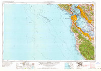
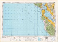
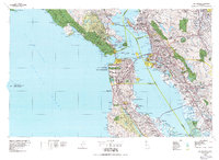
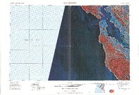
United States Geological Survey topographic sheets whose coverage includes this point. Matched by taking the middle of the area the National Park Service maps for this listing, then testing that coordinate against the published boundary of every sheet.
Other National Register properties close enough to walk or drive between, ordered by distance from this one. Both positions come from the same geocoding pass that matched these properties to their map sheets.
| Photograph | Property | Distance | Listed |
|---|---|---|---|
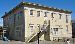 | Irving Murray Scott School | 0.2 miles | 1985 |
| Bethlehem Shipbuilding Corporation Hospital | 0.3 miles | 2022 | |
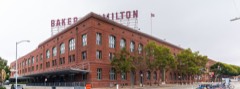 | Baker and Hamilton | 1.0 miles | 2005 |
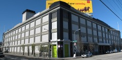 | National Carbon Company Building | 1.2 miles | 1983 |
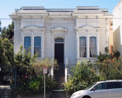 | Ohlandt Newlyweds House | 1.2 miles | 1994 |
 | Schoenstein and Company Pipe Organ Factory | 1.3 miles | 1978 |
| National Archives record | The nomination case file for reference 100006997 in Record Group 79. |
| San Francisco County | All 202 listed properties in this county. |