Block
BlockFrom the record
One of 148 National Register listings published here for San Diego County · listed in 2024 · category: District.
Sources: the National Register database, National Park Service
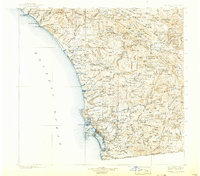
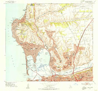
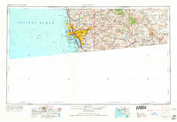
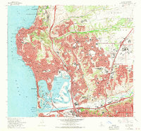
Listed on the National Register of Historic Places in 2024. 10 historic topographic surveys show this location, the earliest from 1904.
One of 148 National Register listings published here for San Diego County · listed in 2024 · category: District.
Sources: the National Register database, National Park Service
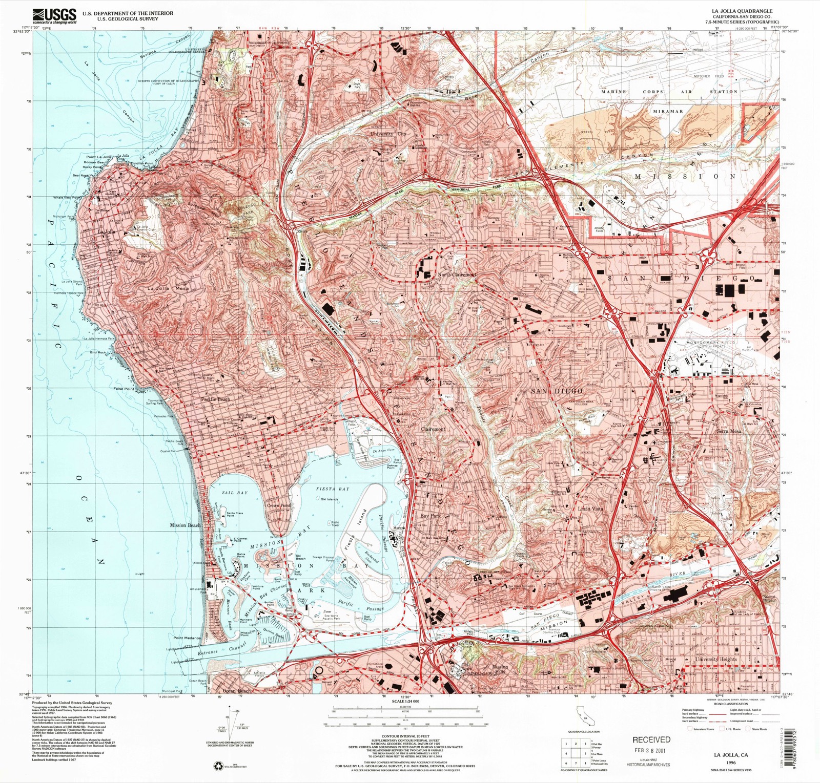
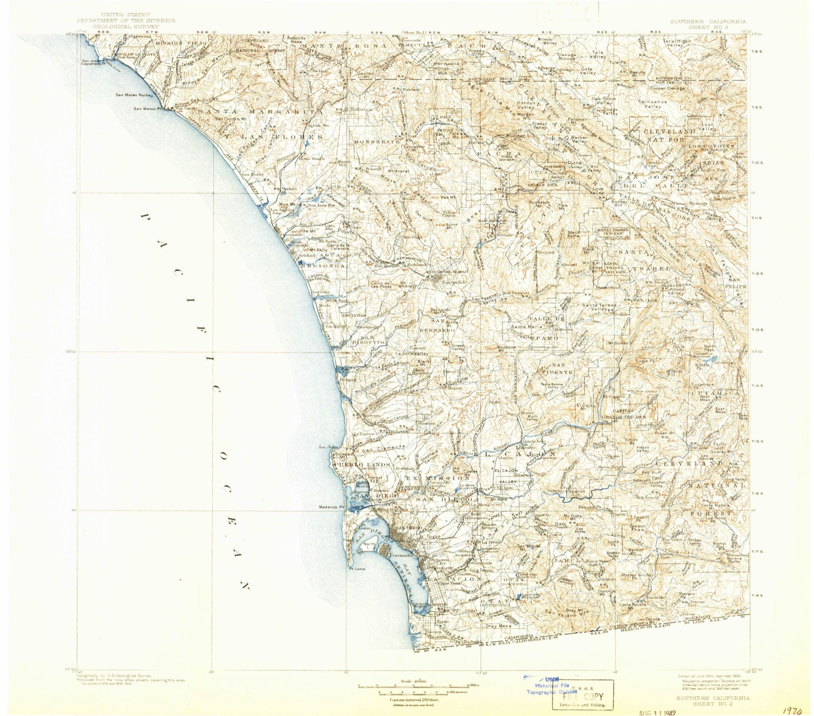
The ground this property stands on, surveyed 92 years apart. Drag the handle to wipe between them. Both sheets are United States Geological Survey originals; neither has been altered.
Regional context, not property-specific evidence. The federal wildfire occurrence database lists 71 fires within 5 miles of La Jolla Park Coastal Historic District between 2005 and 2020, burning about 117 acres in total. None started naturally. 16 were recorded as arson. Distance is straight-line from the map coordinates, so a fire counted here may appear on a neighbouring settlement's page as well.
| Reported cause | Fires |
|---|---|
| Missing data/not specified/undetermined | 40 |
| Arson/incendiarism | 16 |
| Smoking | 5 |
| Debris and open burning | 5 |
| Equipment and vehicle use | 3 |
| Misuse of fire by a minor | 2 |
The most recent of them, most recent first, with the day each was reported and the service that recorded it.
| Date | Cause | Size | Reported by | Name on the report |
|---|---|---|---|---|
| 5 September 2006 | Debris and open burning | under an acre | California Department of Forestry & Fire Protection | not named |
| 4 September 2009 | Arson/incendiarism | under an acre | California Department of Forestry & Fire Protection | not named |
| 4 September 2005 | Debris and open burning | under an acre | California Department of Forestry & Fire Protection | not named |
| 30 September 2009 | Missing data/not specified/undetermined | under an acre | California Department of Forestry & Fire Protection | not named |
| 30 September 2009 | Missing data/not specified/undetermined | under an acre | California Department of Forestry & Fire Protection | not named |
| 26 September 2011 | Missing data/not specified/undetermined | under an acre | San Diego Unit | not named |
| 23 September 2010 | Missing data/not specified/undetermined | 1.0 acres | California Department of Forestry & Fire Protection | not named |
| 19 September 2010 | Arson/incendiarism | under an acre | California Department of Forestry & Fire Protection | not named |
Regional context, not property-specific evidence. The federal mineral resources record lists 8 workings within 5 miles of La Jolla Park Coastal Historic District: 8 past producers. None of them still produces. What was taken out: Clay, Salt, Sand and Gravel, Construction. Distance is straight-line from the map coordinates, so a quarry counted here may appear on a neighbouring settlement's page as well.
| Where | Site | Commodity | Status | Recorded |
|---|---|---|---|---|
| Borrow Pit | Sand and Gravel, Construction | Past Producer | ||
| Portuguese Flat | Salt | Past Producer | ||
| La Jolla Clay Products Co. | Clay | Past Producer | Sedimentary | |
| La Jolla Clay Products Co. | Clay | Past Producer | ||
| Sorrento Brick and Clay Prod. | Clay | Past Producer | ||
| Union Brick Co. Mine, East Pit | Clay | Past Producer | ||
| Union Brick Co. Mine, North Pit | Clay | Past Producer | ||
| Union Brick Company Mine, West Pit | Clay | Past Producer |
Regional context, not property-specific evidence. The National Weather Service names La Jolla, the town this property stands in, in 25 storm reports between 1999 and 2025: 8 funnel cloud, 4 rip current, 4 flood, 3 lightning. The reports record 3 deaths and 15 injuries. Each account below is quoted exactly as the forecast office filed it, from the NOAA Storm Events Database, and each date opens the federal record of that event.
| When | Event | Place named | Harm | What the report says |
|---|---|---|---|---|
| October 1999 | Rip Current | La Jolla | 1 killed, 12 hurt | no account filed |
| February 2003 | Rip Current | La Jolla | 1 killed | no account filed |
| June 2000 | Rip Current | La Jolla | 1 killed | no account filed |
| November 2002 | Rip Current | La Jolla | 2 hurt | no account filed |
| January 2001 | Storm Surge/Tide | La Jolla | 1 hurt, $350,000 | no account filed |
| March 2005 | Flash Flood | La Jolla | $500,000 | Several homes were flooded in La Jolla when storm drains failed to handle the runoff from heavy rain. |
| January 2001 | Flood | La Jolla | $45,000 | no account filed |
| October 2021 | Lightning | La Jolla | $20,000 | Scripps academia reports multiple cloud-to-ground lightning strikes near the beach by Scripps Pier. Multiple lightning strikes occurred across the coastal region due to evening thunderstorms. |
| July 2015 | Lightning | La Jolla | $3,000 | CHP reported transformer struck by lightning. |
| July 2014 | Flash Flood | La Jolla | $300 | A downpour at La Jolla Shores caused quite significant water flow through the Boat Launch at the foot of Avenida de la Playa. Part of the HPS chain link fence in front of the outfall structure washed down into the Boat Launch area posing a significant hazard. Significant sand erosion occurred at the area as well. |
| November 2025 | Flood | La Jolla | - | Dept of Highways reported roadway Flooding Reported On I-5 (southbound)/SR52. |
| September 2021 | Lightning | La Jolla | - | Widespread convection across the San Bernardino and Riverside County Mountains as well as coastal San Diego and Orange Counties. Earth Networks lightning strike data provided. |
| February 2014 | Flood | La Jolla | - | An NWS employee reported 7 inches of standing water at the intersection of Ingraham Street and La Playa Avenue in Pacific Beach. Local tv news showed footage of water running across Quarry Road in Spring Valley. NBC media showed video of 6 inches deep of flowing water on Dairy Mart Road in Imperial Beach. This area drains from the Tijuana River. |
| December 2011 | Funnel Cloud | La Jolla | - | Three waterspouts were spotted one mile off Windansea Beach, moving from southwest to northeast between 1130 and 1140 PST on the 12th. No landfall was noted. |
| March 2007 | Funnel Cloud | La Jolla | - | This funnel cloud was associated with island band convection. |
| February 2005 | Funnel Cloud | La Jolla | - | A funnel cloud that was spotted from Point Loma lowered half way to the ground before it began to dissipate. The storm that produced the funnel cloud also produced small hail. |
| February 1999 | High Surf | La Jolla | - | Large ocean swells caused surf between 10 and 15 feet along the south San Diego coast. |
| February 2004 | Funnel Cloud | La Jolla | - | no account filed |
| February 2001 | Waterspout | La Jolla | - | no account filed |
| February 2001 | Funnel Cloud | La Jolla | - | no account filed |
| April 2001 | Flood | La Jolla | - | no account filed |
| March 2000 | Waterspout | La Jolla | - | no account filed |
| March 2000 | Funnel Cloud | La Jolla | - | no account filed |
| April 1999 | Funnel Cloud | La Jolla | - | no account filed |
| April 1999 | Funnel Cloud | La Jolla | - | no account filed |
United States Geological Survey topographic sheets whose coverage includes this point. Matched by taking the coordinate the National Park Service records for this property, then testing that coordinate against the published boundary of every sheet.
Other National Register properties close enough to walk or drive between, ordered by distance from this one. Both positions come from the same geocoding pass that matched these properties to their map sheets.
| Photograph | Property | Distance | Listed |
|---|---|---|---|
| Martha Kinsey House | under 500 feet | 1992 | |
| La Jolla Post Office | 0.2 miles | 2013 | |
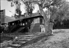 | Red Rest and Red Roost Cottages | 0.2 miles | 1976 |
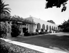 | La Jolla Women's Club | 0.3 miles | 1974 |
| Case Study House No. 23C | 1.2 miles | 2013 | |
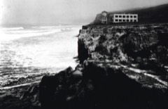 | George H. Scripps Memorial Marine Biological Laboratory | 1.7 miles | 1977 |
| National Archives record | The nomination case file for reference 100009395 in Record Group 79. |
| San Diego County | All 148 listed properties in this county. |