Block
BlockFrom the record
One of 616 National Register listings published here for Los Angeles County · listed in 2023 · category: Building.
Sources: the National Register database, National Park Service
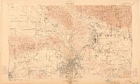
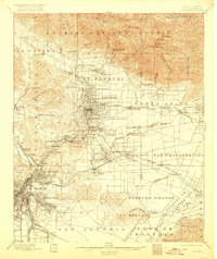
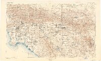
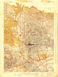
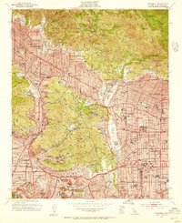
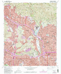
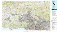
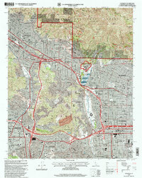
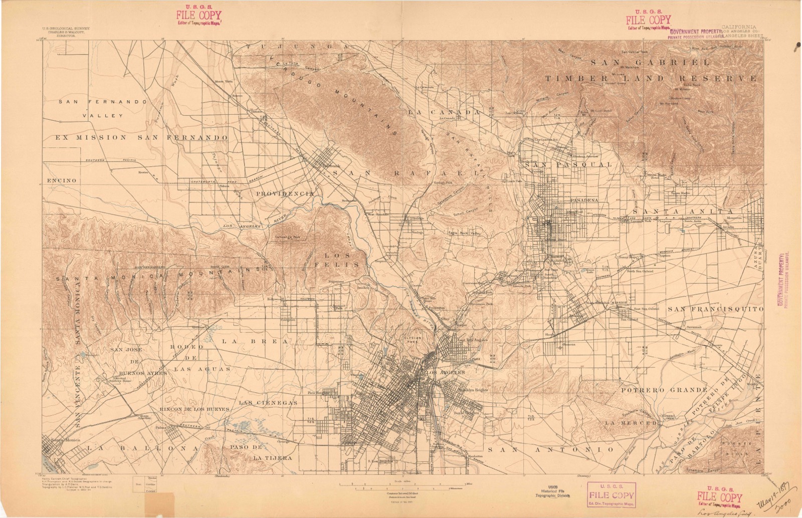
Listed on the National Register of Historic Places in 2023. 16 historic topographic surveys show this location, the earliest from 1894.
One of 616 National Register listings published here for Los Angeles County · listed in 2023 · category: Building.
Sources: the National Register database, National Park Service
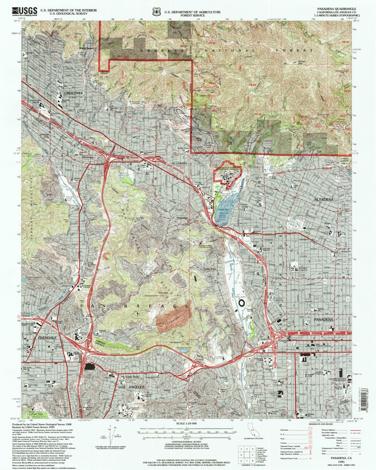
The ground this property stands on, surveyed 101 years apart. Drag the handle to wipe between them. Both sheets are United States Geological Survey originals; neither has been altered.
Regional context, not property-specific evidence. The federal wildfire occurrence database lists 112 fires within 5 miles of Toad Hall between 2001 and 2020, burning about 250 acres in total. None started naturally. 10 were recorded as arson. Distance is straight-line from the map coordinates, so a fire counted here may appear on a neighbouring settlement's page as well.
| Reported cause | Fires |
|---|---|
| Missing data/not specified/undetermined | 60 |
| Smoking | 14 |
| Equipment and vehicle use | 12 |
| Arson/incendiarism | 10 |
| Misuse of fire by a minor | 9 |
| Debris and open burning | 4 |
| Power generation/transmission/distribution | 2 |
| Recreation and ceremony | 1 |
The most recent of them, most recent first, with the day each was reported and the service that recorded it.
| Date | Cause | Size | Reported by | Name on the report |
|---|---|---|---|---|
| 6 September 2009 | Smoking | 1.0 acres | California Department of Forestry & Fire Protection | not named |
| 4 September 2016 | Misuse of fire by a minor | under an acre | California Department of Forestry & Fire Protection | not named |
| 4 September 2002 | Power generation/transmission/distribution | under an acre | Angeles National Forest | ELLIOT |
| 3 September 2001 | Debris and open burning | under an acre | Angeles National Forest | TWIN |
| 10 September 2007 | Debris and open burning | 1.0 acres | California Department of Forestry & Fire Protection | not named |
| 1 September 2010 | Missing data/not specified/undetermined | under an acre | California Department of Forestry & Fire Protection | not named |
| 9 August 2020 | Missing data/not specified/undetermined | 1.0 acres | Los Angeles County Fire Department | not named |
| 6 August 2005 | Equipment and vehicle use | 1.0 acres | California Department of Forestry & Fire Protection | not named |
Regional context, not property-specific evidence. The federal mineral resources record lists 14 workings within 5 miles of Toad Hall: 11 past producers, 2 producers, 1 prospect. 2 still produce. What was taken out: Sand and Gravel, Construction, Clay. Distance is straight-line from the map coordinates, so a quarry counted here may appear on a neighbouring settlement's page as well.
| Where | Site | Commodity | Status | Recorded |
|---|---|---|---|---|
| Anderson and Sandquist | Clay | Past Producer | ||
| Los Angeles Pottery Co. | Clay | Past Producer | ||
| Simmons Brick Co.-Pasadena Plant | Clay | Past Producer | ||
| Beyrle | Sand and Gravel, Construction | Past Producer | ||
| City of Los Angeles | Sand and Gravel, Construction | Past Producer | ||
| Devil S Gate | Sand and Gravel, Construction | Past Producer | Sedimentary | |
| Devils Canyon Dam | Sand and Gravel, Construction | Producer | ||
| Home Teaming and Transfer Co. | Sand and Gravel, Construction | Past Producer | ||
| La Canada Pit | Sand and Gravel, Construction | Producer | ||
| Los Angeles Rock and Gravel Co. | Sand and Gravel, Construction | Past Producer |
Regional context, not property-specific evidence. The National Weather Service names Pasadena, the town this property stands in, in 3 storm reports between 2004 and 2024: 1 lightning, 1 hail, 1 flash flood. No death or injury is recorded in these reports. Each account below is quoted exactly as the forecast office filed it, from the NOAA Storm Events Database, and each date opens the federal record of that event.
| When | Event | Place named | Harm | What the report says |
|---|---|---|---|---|
| March 2024 | Flash Flood | Pasadena | - | California Highway Patrol reported flash flooding of Highway 210 at the Lake Avenue onramp. Officers reported 6 to 12 inches of standing water on the onramp. |
| October 2005 | Hail | Pasadena | - | A severe thunderstorm produced large hail in the valleys of Los Angeles county. Near Pasadena, one and one quarter inch diameter hail was reported by a weather spotter. |
| February 2004 | Lightning | South Pasadena | - | no account filed |
United States Geological Survey topographic sheets whose coverage includes this point. Matched by taking the coordinate the National Park Service records for this property, then testing that coordinate against the published boundary of every sheet.
Other National Register properties close enough to walk or drive between, ordered by distance from this one. Both positions come from the same geocoding pass that matched these properties to their map sheets.
| Photograph | Property | Distance | Listed |
|---|---|---|---|
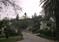 | Poppy Peak Historic District | 0.2 miles | 2009 |
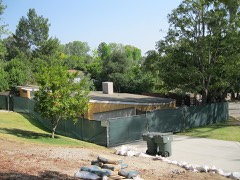 | Case Study House No. 10 | 0.4 miles | 2013 |
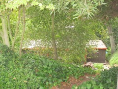 | John Norton House | 0.5 miles | 2009 |
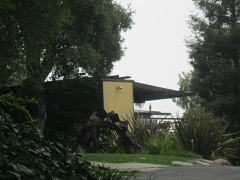 | Richard and Mary Alice Frank House | 0.5 miles | 2009 |
 | Villa Verde | 0.6 miles | 1984 |
| Pasadena Field Archery Range | 0.6 miles | 2020 |
| National Archives record | The nomination case file for reference 100009582 in Record Group 79. |
| Los Angeles County | All 616 listed properties in this county. |