Block
BlockFrom the record
One of 73 National Register listings published here for Sonoma County · category: District.
Sources: the National Register database, National Park Service
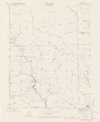
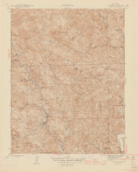
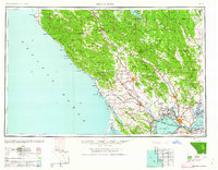
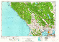
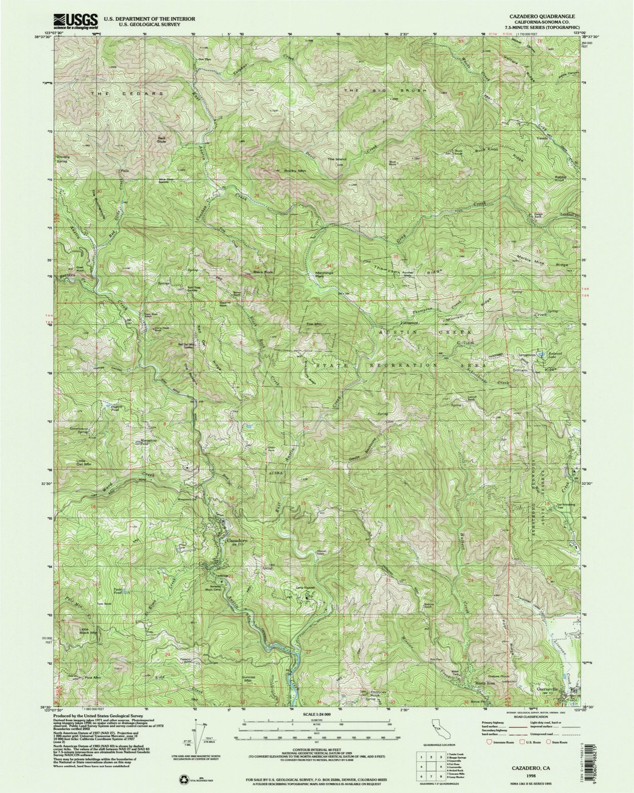
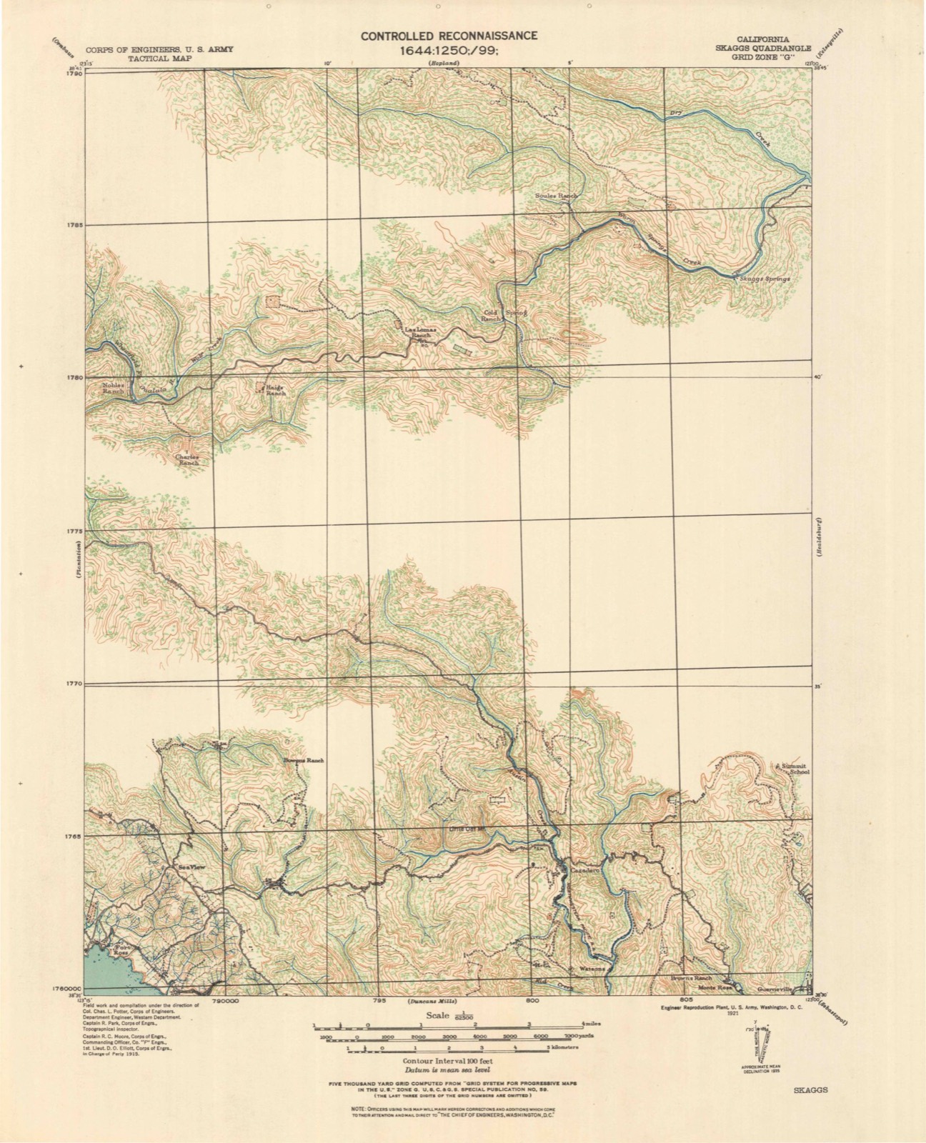
Listed on the National Register of Historic Places. 11 historic topographic surveys show this location, the earliest from 1921.
One of 73 National Register listings published here for Sonoma County · category: District.
Sources: the National Register database, National Park Service
The ground this property stands on, surveyed 77 years apart. Drag the handle to wipe between them. Both sheets are United States Geological Survey originals; neither has been altered.
Regional context, not property-specific evidence. The federal wildfire occurrence database lists 289 fires within 5 miles of Pond Farm Pottery between 1992 and 2019, burning about 230 acres in total. 3 started naturally. 25 were recorded as arson. Distance is straight-line from the map coordinates, so a fire counted here may appear on a neighbouring settlement's page as well.
| Reported cause | Fires |
|---|---|
| Missing data/not specified/undetermined | 134 |
| Equipment and vehicle use | 45 |
| Debris and open burning | 30 |
| Arson/incendiarism | 25 |
| Recreation and ceremony | 21 |
| Misuse of fire by a minor | 15 |
| Power generation/transmission/distribution | 10 |
| Smoking | 6 |
| Natural | 3 |
The most recent of them, most recent first, with the day each was reported and the service that recorded it.
| Date | Cause | Size | Reported by | Name on the report |
|---|---|---|---|---|
| 9 September 2012 | Missing data/not specified/undetermined | 1.0 acres | Sonoma-Lake Napa Unit | SUNSET |
| 8 September 2014 | Recreation and ceremony | under an acre | Sonoma-Lake Napa Unit | ONE SIXTEEN |
| 8 September 1998 | Missing data/not specified/undetermined | under an acre | Sonoma-Lake Napa Unit | NEIDEAU |
| 8 September 1995 | Missing data/not specified/undetermined | under an acre | Sonoma-Lake Napa Unit | ARMSTRONG |
| 8 September 1995 | Arson/incendiarism | under an acre | Sonoma-Lake Napa Unit | RIO NIDO#1 |
| 7 September 2007 | Misuse of fire by a minor | under an acre | Sonoma-Lake Napa Unit | RIVERSIDE DR GUERNEVIL 4 |
| 7 September 2007 | Power generation/transmission/distribution | under an acre | Sonoma-Lake Napa Unit | SWEETWATER SPRINGS RD / M |
| 6 September 2007 | Misuse of fire by a minor | under an acre | Sonoma-Lake Napa Unit | ARMSTRONG, CDF TAC 6 2 |
Regional context, not property-specific evidence. The federal mineral resources record lists 22 workings within 5 miles of Pond Farm Pottery: 14 unknowns, 6 occurrences, 1 producer, 1 past producer. 1 still produces. What was taken out: Mercury, Magnesite, Stone, Chromium. Distance is straight-line from the map coordinates, so a quarry counted here may appear on a neighbouring settlement's page as well.
| Where | Site | Commodity | Status | Recorded |
|---|---|---|---|---|
| Gravel Pit | Sand and Gravel, Construction | Unknown | ||
| Raineys Ready-Mix | Sand and Gravel, Construction | Unknown | ||
| Unnamed Prospect | Copper | Unknown | ||
| Ward Tract | Copper | Occurrence | ||
| Clar Quarry | Stone | Unknown | ||
| Guerneville Mine & Mill | Stone | Producer | ||
| Henry Doelger | Chromium | Unknown | ||
| Huntington Bros. General Contractrs | Stone | Unknown | ||
| Madeira Claim | Chromium | Occurrence | 1916 | |
| Unnamed Prospect | Chromium | Unknown |
Regional context, not property-specific evidence. The National Weather Service names Guerneville, the town this property stands in, in 11 storm reports between 2002 and 2024: 7 flood, 1 heavy rain, 1 hail, 1 flash flood. The reports record 1 death. Each account below is quoted exactly as the forecast office filed it, from the NOAA Storm Events Database, and each date opens the federal record of that event.
| When | Event | Place named | Harm | What the report says |
|---|---|---|---|---|
| November 2024 | Flood | Guerneville | 1 killed | A 911 caller reported to Sonoma County dispatch that they had seen a car go into floodwaters near Mays Canyon Road and Highway 116. Rescue crews arrived and found the vehicle, and the driver was found dead. |
| January 2002 | Heavy Rain | Guerneville | $200,000 | no account filed |
| January 2024 | Flood | Guerneville | $10 | Localized flooding was reported in northern Guerneville. |
| January 2024 | Flood | Guerneville | $10 | Heavy rain caused flooding from Fife Creek at Sycamore Court Mobile Home Park. Three inches of water flooded a trailer in less than 20 minutes. Report Courtesy KGO television/ABC 7 San Francisco. |
| February 2019 | Flood | Guerneville | - | Vehicle stuck in water in front of the Guerneville Lodge near the Russian River. |
| February 2019 | Flood | Guerneville | - | The Russian River at Guerneville hit flood stage (32ft) at approximately 1600 hrs on February 26th, 2019. The gauge crested at 45.38 feet at 22:30 pm February 27th, 2019. Local law enforcement indicated the town of Guerneville became an island and was only accessible by boat or helicopter. The media reported approximately 4,000 structures were impacted by flood waters. The gauge did not fall below flood stage until after 1:30 pm on March 1st. |
| February 2019 | Flood | Guerneville | - | CHP put up road closed signs Mill Ct and Mill St. |
| January 2018 | Debris Flow | Guerneville | - | One inch deep slide blocking roadway at SR116 and Riverside Drive. |
| January 2017 | Flash Flood | Guerneville | - | Flooding east of 5th street. Fife Creek overflowing. |
| February 2017 | Flood | Guerneville | - | Armstrong Woods Rd/Morningside Dr. |
| December 2003 | Hail | Guerneville | - | no account filed |
United States Geological Survey topographic sheets whose coverage includes this point. Matched by taking the middle of the area the National Park Service maps for this listing, then testing that coordinate against the published boundary of every sheet.
Other National Register properties close enough to walk or drive between, ordered by distance from this one. Both positions come from the same geocoding pass that matched these properties to their map sheets.
| Photograph | Property | Distance | Listed |
|---|---|---|---|
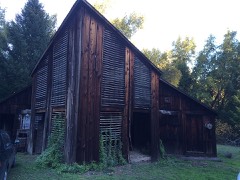 | Pond Farm Pottery | under 500 feet | |
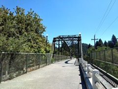 | Guerneville Bridge | 3.4 miles | 1989 |
| Belden-Birkhofer House | 3.6 miles | 2024 | |
| Walters Ranch | 7.3 miles | 1977 | |
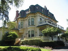 | Madrona Knoll Rancho District | 7.3 miles | 1987 |
| National Archives record | The nomination case file for reference 100009799 in Record Group 79. |
| Sonoma County | All 73 listed properties in this county. |