BlockBefore
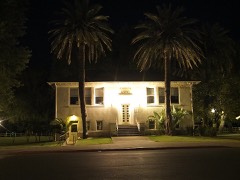
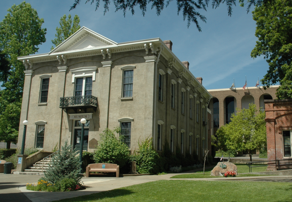
Photograph of Old Lake County Courthouse
Photograph by Arnaudh, CC BY 3.0. Via Wikimedia Commons.

Lake County Courthouse

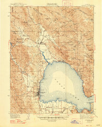
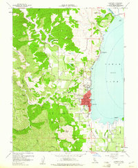
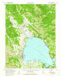
Listed on the National Register of Historic Places in 1970. 9 historic topographic surveys show this location, the earliest from 1938.

From the record

“The Old Lake County Courthouse, also known as Lake County Courthouse, in Lakeport, California is a building built in 1870. It served Lake County as a seat of government from 1871 until 1968.”

Wikipedia article Old Lake County Courthouse (California), CC BY-SA 4.0.

One of 2 National Register listings published here for Lake County · listed in 1970 · category: Building.

Sources: the Wikipedia article · the case file at the National Archives · the National Register database, National Park Service
The listing

  • What is counted as historic. The nomination lists 1 building as contributing to the listing.
  • Address. 255 N. Main St., Lakeport, 95453
  • When was it listed? October 1970
  • Category. building
  • Census division. Lakeport
  • National Register reference number. 70000134 - the number the National Park Service assigned this property when it was listed, and the key its nomination file is catalogued under at the National Archives.

Then and now

1938 to 1994

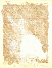
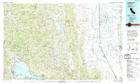
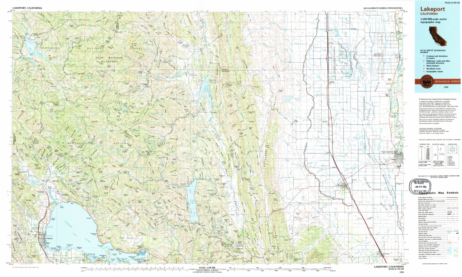
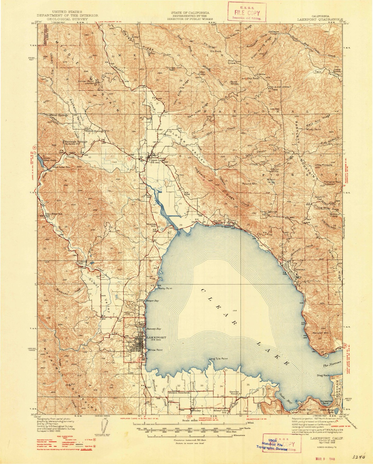
The ground this property stands on, surveyed 56 years apart. Drag the handle to wipe between them. Both sheets are United States Geological Survey originals; neither has been altered.

Topographic sheet covering Lake County Courthouse, surveyed 1994
Topographic sheet covering Lake County Courthouse, surveyed 1938

Fires near this property

110 since 1992

Regional context, not property-specific evidence. The federal wildfire occurrence database lists 110 fires within 5 miles of Lake County Courthouse between 1992 and 2020, burning about 598 acres in total. 4 started naturally. 2 were recorded as arson. Distance is straight-line from the map coordinates, so a fire counted here may appear on a neighbouring settlement's page as well.

Reported cause Fires
Missing data/not specified/undetermined38
Equipment and vehicle use31
Misuse of fire by a minor13
Debris and open burning11
Power generation/transmission/distribution7
Natural4
Smoking3
Arson/incendiarism2
Recreation and ceremony1

The most recent of them, most recent first, with the day each was reported and the service that recorded it.

DateCause SizeReported by Name on the report
5 September 2010Missing data/not specified/undetermined3.5 acresSonoma-Lake Napa UnitCREEKSIDE
30 September 2009Missing data/not specified/undeterminedunder an acreSonoma-Lake Napa UnitPARALLEL DR / HWY 175
3 September 2020Equipment and vehicle useunder an acreSonoma-Lake Napa UnitSCOTTS VALLEY RD LAKEPOR
28 September 2019Missing data/not specified/undeterminedunder an acreSonoma-Lake Napa UnitMISSION RANCHERIA RD LAK
28 September 1997Misuse of fire by a minorunder an acreCentral California Agency2950 MRWAY
27 September 2006Misuse of fire by a minor10 acresCalifornia Department of Forestry & Fire Protectionnot named
23 September 2019Power generation/transmission/distributionunder an acreSonoma-Lake Napa UnitCRAIG AV LAKEPORT
22 September 1999Naturalunder an acreNorthern California DistrictLNU SCOTTS

Every fire recorded in Lake County

Mines and quarries near this property

10 of 12 shown

Regional context, not property-specific evidence. The federal mineral resources record lists 12 workings within 5 miles of Lake County Courthouse: 5 producers, 3 occurrences, 2 unknowns, 1 past producer. 5 still produce. What was taken out: Sand and Gravel, Construction, Stone, Manganese. Distance is straight-line from the map coordinates, so a quarry counted here may appear on a neighbouring settlement's page as well.

Where SiteCommodity StatusRecorded
Konocti Pit and MillStoneProducer
QuarryStoneUnknown
Rainbow LedgeManganeseOccurrence
Rainbow Ledge ProspectManganeseProspect1942
Ace Pit and MillSand and Gravel, ConstructionPast Producer
Frazell PitSand and Gravel, ConstructionProducer
Gravel PitSand and Gravel, ConstructionUnknown
Kelsey Creek PitSand and Gravel, ConstructionProducer
Lange Pit and MillSand and Gravel, ConstructionProducer
Scotts Creek BarSand and Gravel, ConstructionProducer

Every working recorded in Lake County

Storms near this property

6 since 2000

Regional context, not property-specific evidence. The National Weather Service names Lakeport, the town this property stands in, in 6 storm reports between 2000 and 2026: 4 flood, 1 heavy rain, 1 debris flow. No death or injury is recorded in these reports. Each account below is quoted exactly as the forecast office filed it, from the NOAA Storm Events Database, and each date opens the federal record of that event.

WhenEvent Place namedHarm What the report says
February 2017FloodLakeport$7,000,000Flooding of Clear Lake brought the closure of multiple roads. Lakeshore Boulevard was closed due to flooding between Lange Street and Giselman Street, Other strees closed included Esplanade Street, K Street, Konoctie Avenue, and Lupoyoma Avenue. Clear Lakes level stayed in flood stage for a month and led to mandatory evacuations in parts of the city of Lakeport. Lake County Public Works Director said early assessments suggested damage to county-maintained roads ranged between $5 million and $7 million.
December 2014Debris FlowLakeport$300,000A slide at Lakeside Heights over topped the K-railing that was placed at the base of the slope and extended out into Hill Road, blocking an access to Sutter Lakeside Hospital.
January 2026FloodLakeport-Scotts Valley Road closed east of Hendricks Road due to flooding.
February 2025FloodLakeport-Flooding at Scotts Valley Road has caused it to be closed, 2 miles west of North Lakeport, CA. Lat. 39.08N, Long. -122.95W.
February 2019FloodLakeport-Multiple reports of flood related problems with road closures in Lake County. Highland Springs Rd mudslide. Laurel Dell Rd closed from Scotts Vly Rd to Mid Lake Rd. Other road closures include parts of Argonaut Rd, Bell Rd, Clark Drive, Soda Bay Rd, Candyland, Dry Creek, Lakeshore Drive and Scotts Valley Rd.
February 2000Heavy RainLakeport-no account filed

Every storm recorded in Lake County

Maps showing this location

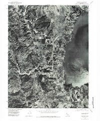
9 surveys

United States Geological Survey topographic sheets whose coverage includes this point. Matched by taking the coordinate the National Park Service records for this property, then testing that coordinate against the published boundary of every sheet.

Listed places nearby

1 within 8 miles

Other National Register properties close enough to walk or drive between, ordered by distance from this one. Both positions come from the same geocoding pass that matched these properties to their map sheets.

Photograph PropertyDistance Listed
Lakeport Carnegie Library0.2 miles2008

Sources for this property

National Archives recordThe nomination case file for reference 70000134 in Record Group 79.
Wikipedia articleCommunity-written account of this property, licensed CC BY-SA.
Lake CountyAll 2 listed properties in this county.

Provenance

  • Listing record. National Park Service National Register of Historic Places, listed-properties dataset, current to 2026-05-22.
  • Map join. Address geocoded through the United States Census geocoder, then tested against the published boundary of every sheet in the USGS Historical Topographic Map Collection.
  • How this page is made. Listing fields come from federal records; map-sheet coverage is a labelled coordinate-to-boundary calculation, not a source-field claim.
  • Wildfire. Short, Karen C. 2022. Spatial wildfire occurrence data for the United States, 1992-2020 [FPA_FOD_20221014]. 6th Edition. Fort Collins, CO: Forest Service Research Data Archive. https://doi.org/10.2737/RDS-2013-0009.6 Collected with United States Government funding and usable without additional permissions or fees.
  • Mines and quarries. USGS Mineral Resources Data System (MRDS) https://mrdata.usgs.gov/mrds/ A work of the United States government, no copyright under 17 U.S.C. 105.
  • Storms. NOAA National Centers for Environmental Information, Storm Events Database https://www.ncei.noaa.gov/stormevents/ A work of the United States government, no copyright under 17 U.S.C. 105. Narratives are quoted verbatim from the National Weather Service report and are not edited or summarised.