BlockBefore
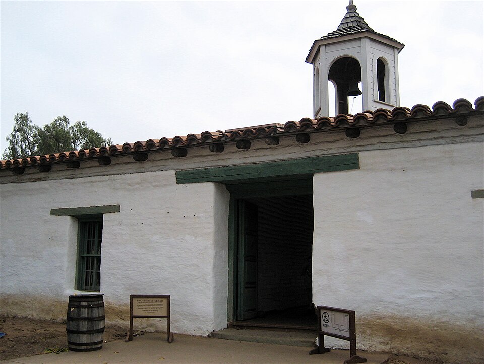
Photograph of Casa de Estudillo
Photograph by Mike Fitzpatrick from Annapolis, Maryland, USA, CC BY 2.0. Via Wikimedia Commons.

Estudillo Mansion

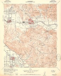
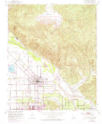
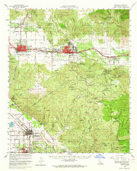
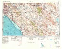
A National Historic Landmark. Built in 1827 (Spanish Colonial architecture). Listed on the National Register of Historic Places in 1970. 15 historic topographic surveys show this location, the earliest from 1901.

From the record

One of 148 National Register listings published here for San Diego County · listed in 1970 · category: Building · built in 1827, Spanish Colonial architecture · a National Historic Landmark.

Sources: the case file at the National Archives · the National Register database, National Park Service · the Wikipedia article
The listing

  • National Historic Landmark. The highest federal designation, held by about 2,600 places in the country against roughly 100,000 Register listings.
  • What is counted as historic. The nomination lists 1 building as contributing to the listing.
  • Still standing. The Park Service records this property as extant.
  • Address. 4000 Mason St., San Diego, 92583
  • When was it listed? April 1970
  • Category. building
  • When was it built? 1827
  • Architectural style. Spanish Colonial architecture
  • National Register reference number. 70000143 - the number the National Park Service assigned this property when it was listed, and the key its nomination file is catalogued under at the National Archives.

Storms near this property

21 since 1994

Regional context, not property-specific evidence. The National Weather Service names San Diego, the town this property stands in, in 21 storm reports between 1994 and 2023: 6 flash flood, 4 thunderstorm wind, 4 lightning, 2 funnel cloud. The reports record 1 death and 3 injuries. Each account below is quoted exactly as the forecast office filed it, from the NOAA Storm Events Database, and each date opens the federal record of that event.

WhenEvent Place namedHarm What the report says
January 2005Heavy RainSan Diego1 killed, 3 hurt, $1,000,000no account filed
December 2004Thunderstorm WindSan Diego$5,000,000San Diego Lindbergh Field recorded a wind gust of 58 mph ahead of an approaching squall line. This was the highest wind gust ever measured at Lindbergh Field for the month of December. Just south of the airport in National City, the top 200 feet of the KSON broadcast tower snapped off. A portion of the tower fell on 20 parked cars. Winds gusts over 60 mph blew down many trees and caused damage to houses, cars, and power poles.
June 1999WildfireSan Diego$200,000A wild fire in a canyon destroyed one duplex and threatened several other residences .
February 2005Flash FloodSan Diego$75,000no account filed
January 2017Flash FloodEast San Diego$50,000Six feet of water inundated an apartment building in City Heights on 48th street. One family nearly drowned due to the flood.
February 2005Flash FloodSan Diego$20,000Mudslides and flooding reported.
December 1998Thunderstorm WindSan Diego$5,000no account filed
September 2014Thunderstorm WindSan Diego$3,000The Mission Valley mesonet recorded a wind gust of 52 mph due to a thunderstorm. Media reported a tree falling on a car in Mission Valley nearby.
April 2012LightningSan Diego$2,000NBC San Diego reported a lightning strike to the Unified Port of San Diego building, resulting in part of the roof getting peeled back. The strike also took out power to the building, but no injuries were reported.
September 2005LightningSan Diego$1,200no account filed
September 2014LightningSan Diego$1,000Two palm trees caught fire after a lightning strike.
September 2021HailSan Diego$50Two mping reports of pea size hail.
January 2023Flash FloodSan Diego-A series of Pacific storm systems produced widespread heavy rainfall across the San Diego metro area, producing rainfall totals of 3-5 inches near Fashion Valley from January 14-17, with the heaviest occurring the morning of January 15- the morning of January 16. The San Diego River reached 12.4-12.7 feet at Fashion Valley.||Every cross street in Mission Valley along the San Diego River was flooded, including toward the San Diego Trolley. Three vehicles were abandoned and under 2-3 feet of flowing water on Camino Del Este, Qualcomm Way and Fashion Valley Road. The San Diego River overflowed, with over 1 foot of standing water into the nearby parking structure.||Numerous swiftwater rescues were conducted, including one rescue of a woman whose car was completely submerged into the flood waters at Camino De La Reina and Avenida del No; a helicopter search for two victims was conducted near 4700 Pacific Highway, with five victims having been rescued from the water.||Hotel guests at the Riverleaf Inn were evacuated and vehicles were submerged in flowing water.
November 2022FloodSan Diego-Periods of moderate rainfall fell across the San Diego metro area on the afternoon of November 8. Several reports of flooding were received:|The Department of Highways reported flooding on Highway 94 and Federal Blvd, where 0.50 inch fell in three hours.|The Department of Highways also reported flooding at SR 94 and College Ave.|A National Weather Service employee reported roadway flooding on University Ave where rainfall of 0.25-0.30 inch had been reported in one hour.
February 2013HailSan Diego-Accumulations of pea-sized hail resulted in multiple traffic collisions along Interstate 15 between University and El Cajon Blvd. Southbound Interstate 15 was closed for a few hours.
March 2006Flash FloodSan Diego-Lanes flooded on northbound I-5 south of Balboa Blvd.
January 2005Funnel CloudSan Diego-A funnel cloud was reported just nothwest of San Diego Bay.
October 2004Flash FloodSan Diego-The San Diego River was near flood stage when it swept a homeless man away near Ward Road in Mission Valley. He was rescued by two men in the vicinity who happened to hear him call for help.
April 1997LightningSan Diego-A cold upper-level low pressure center spawned an area of thunderstorms that affected much of southern San Diego County with gusty winds, small hail, and power outages. Lightning associated with the storm system struck a palm tree in the skyline district of San Diego, shearing off the top twenty feet. The resulting shock wave shattered all the windows of the home on the property, sent dishes and glasses cascading from cupboards, and knocked pictures off the walls. Windows were broken in Fifteen nearby homes, an elementary school, and a high school two blocks away. Also, a nearby utility pole caught fire, and the top of a wood and concrete fence was destroyed.
April 1994Thunderstorm WindSan Diego-Wind damage to a building located at 2630 Kettner Blvd. One-half of a sheet metal roof was torn off. Wind speeds unknown.
February 2005Funnel CloudSan Diego-no account filed

Every storm recorded in San Diego County

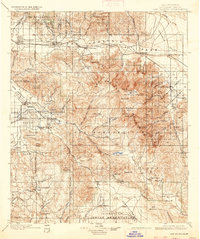
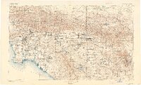
Maps showing this location

15 surveys

United States Geological Survey topographic sheets whose coverage includes this point. Matched by taking the coordinate the National Park Service records for this property, then testing that coordinate against the published boundary of every sheet.

Sources for this property

National Archives recordThe nomination case file for reference 70000143 in Record Group 79.
Wikipedia articleCommunity-written account of this property, licensed CC BY-SA.
San Diego CountyAll 148 listed properties in this county.

Provenance

  • Listing record. National Park Service National Register of Historic Places, listed-properties dataset, current to 2026-05-22.
  • Map join. Address geocoded through the United States Census geocoder, then tested against the published boundary of every sheet in the USGS Historical Topographic Map Collection.
  • How this page is made. Listing fields come from federal records; map-sheet coverage is a labelled coordinate-to-boundary calculation, not a source-field claim.
  • Storms. NOAA National Centers for Environmental Information, Storm Events Database https://www.ncei.noaa.gov/stormevents/ A work of the United States government, no copyright under 17 U.S.C. 105. Narratives are quoted verbatim from the National Weather Service report and are not edited or summarised.