Block
BlockFrom the record
One of 24 National Register listings published here for Butte County · listed in 1972 · category: Building.
Sources: the case file at the National Archives · the National Register database, National Park Service
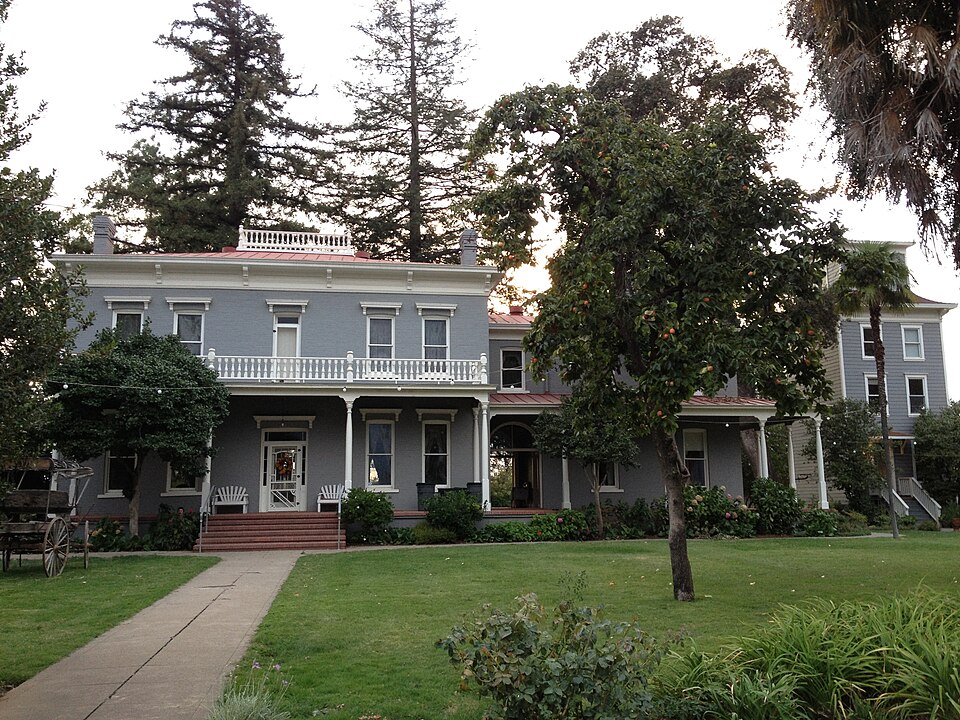
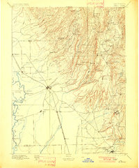
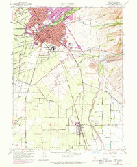
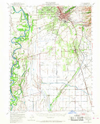
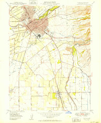
Listed on the National Register of Historic Places in 1972. 10 historic topographic surveys show this location, the earliest from 1891.
One of 24 National Register listings published here for Butte County · listed in 1972 · category: Building.
Sources: the case file at the National Archives · the National Register database, National Park Service
Regional context, not property-specific evidence. The federal wildfire occurrence database lists 473 fires within 5 miles of Patrick Ranch House between 1992 and 2020, burning about 11,482 acres in total. 4 started naturally. 25 were recorded as arson. Distance is straight-line from the map coordinates, so a fire counted here may appear on a neighbouring settlement's page as well.
| Reported cause | Fires |
|---|---|
| Missing data/not specified/undetermined | 176 |
| Equipment and vehicle use | 151 |
| Debris and open burning | 72 |
| Arson/incendiarism | 25 |
| Smoking | 15 |
| Misuse of fire by a minor | 15 |
| Recreation and ceremony | 7 |
| Power generation/transmission/distribution | 5 |
| Natural | 4 |
| Railroad operations and maintenance | 2 |
| Other causes | 1 |
The most recent of them, most recent first, with the day each was reported and the service that recorded it.
| Date | Cause | Size | Reported by | Name on the report |
|---|---|---|---|---|
| 9 September 2000 | Equipment and vehicle use | under an acre | Butte Unit | HEGAN |
| 8 September 2019 | Power generation/transmission/distribution | under an acre | Butte Unit | TROXEL RD DRHM |
| 8 September 2011 | Smoking | under an acre | Butte Unit | SOUTH |
| 8 September 2004 | Equipment and vehicle use | under an acre | Butte Unit | MIDWAY1 |
| 8 September 2004 | Equipment and vehicle use | under an acre | Butte Unit | MIDWAY2 |
| 8 September 2004 | Equipment and vehicle use | under an acre | Butte Unit | MIDWAY3 |
| 8 September 1999 | Equipment and vehicle use | under an acre | Butte Unit | SPANISH |
| 8 September 1998 | Equipment and vehicle use | under an acre | Butte Unit | LABURNUM |
Regional context, not property-specific evidence. The federal mineral resources record lists 9 workings within 5 miles of Patrick Ranch House: 4 producers, 3 unknowns, 1 occurrence, 1 past producer. 4 still produce. What was taken out: Gold, Sand and Gravel, Construction, Platinum, PGE. Distance is straight-line from the map coordinates, so a quarry counted here may appear on a neighbouring settlement's page as well.
| Where | Site | Commodity | Status | Recorded |
|---|---|---|---|---|
| Butte Creek | Gold, Platinum | Producer | 1848, 1949 | |
| Butte Creek | Gold, PGE | Unknown | ||
| Chico Pit and Quarry | Stone, Crushed/Broken | Producer | ||
| Butte Creek Pit and Mill | Sand and Gravel, Construction | Producer | ||
| Chico Plant | Sand and Gravel, Construction | Producer | ||
| L L Ultican | Sand and Gravel, Construction | Unknown | ||
| Butte Creek District | Gold | Past Producer | 1849 | |
| Unknown | Gold | Occurrence | ||
| Unnamed Location | Gold | Unknown |
Regional context, not property-specific evidence. The National Weather Service names Chico, the town this property stands in, in 13 storm reports between 1993 and 2023: 3 hail, 2 flash flood, 2 thunderstorm wind, 2 flood. No death or injury is recorded in these reports. Each account below is quoted exactly as the forecast office filed it, from the NOAA Storm Events Database, and each date opens the federal record of that event.
| When | Event | Place named | Harm | What the report says |
|---|---|---|---|---|
| September 2000 | Wildfire | Chico | $1,900,000 | no account filed |
| November 2015 | Thunderstorm Wind | Chico | $1,000,000 | A collapsing thunderstorm resulted in a downburst which brought strong straight line winds which snapped 6 power poles along east Eaton Rd. and Godman Ave in Chico. There were 10000 PG&E customers without power. |
| April 2017 | Lightning | Chico | $45,000 | Lightning struck a very large oak tree near Bidwell Mansion in Chico. Large tree limbs came down, damaging 9 cars. Report time based on radar. |
| April 2019 | Flood | Chico | $5,000 | Two feet of standing water was observed on Pillsbury Road between Cohasset Rd. and East Ave. Much of Cohasset Road from Highway 99 to Chico Airport was underwater as well. Time was estimated. |
| January 2023 | Thunderstorm Wind | Chico | $1,000 | California Highway Patrol reported a large pine tree down across both lanes of SR 99 just north of East 1st Ave. |
| April 1993 | Tornado (F0) | Chico | $500 | A tornado touched down in the center of Chico near Fourth Street and Chico State University. The brief touchdown resulted in damage to a number of trees, and was observed by local authorities. |
| March 2023 | Hail | Chico | - | There was 0.75 inch hail reported in Chico, reported via Facebook. |
| April 2019 | Flash Flood | Chico | - | Flooding was reported across all 3 lanes southbound on Highway 99. |
| January 2017 | Flood | Chico | - | Big Chico Creek overran its banks in Bidwell Park. |
| October 2016 | Hail | Chico | - | Hail up to 1 inch in diameter was reported. |
| April 2015 | Heavy Rain | Chico | - | The 24 hour total rain was 0.86 inches. |
| February 2001 | Hail | Chico | - | no account filed |
| January 1997 | Flash Flood | Chico | - | no account filed |
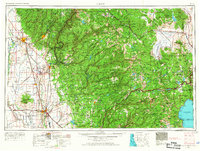
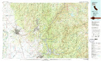
United States Geological Survey topographic sheets whose coverage includes this point. Matched by taking the coordinate the National Park Service records for this property, then testing that coordinate against the published boundary of every sheet.
Other National Register properties close enough to walk or drive between, ordered by distance from this one. Both positions come from the same geocoding pass that matched these properties to their map sheets.
| Photograph | Property | Distance | Listed |
|---|---|---|---|
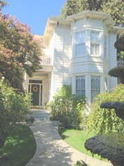 | W. W. Durham House | 2.5 miles | 1992 |
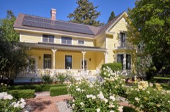 | A. H. Chapman House | 3.7 miles | 1982 |
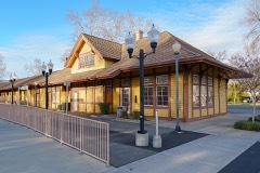 | Southern Pacific Depot | 3.7 miles | 1987 |
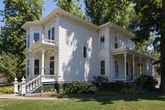 | Stansbury House | 3.7 miles | 1975 |
 | US Post Office-Chico Midtown Station | 3.7 miles | 1985 |
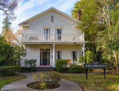 | Allen-Sommer-Gage House | 3.8 miles | 1977 |
| National Archives record | The nomination case file for reference 72000217 in Record Group 79. |
| Butte County | All 24 listed properties in this county. |