Block
Block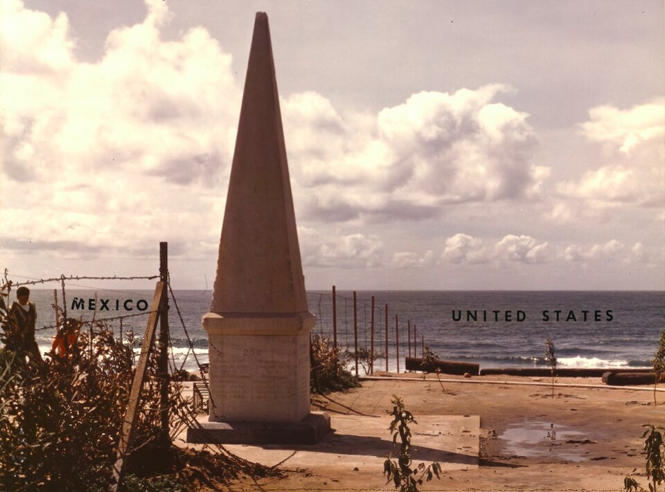
From the record
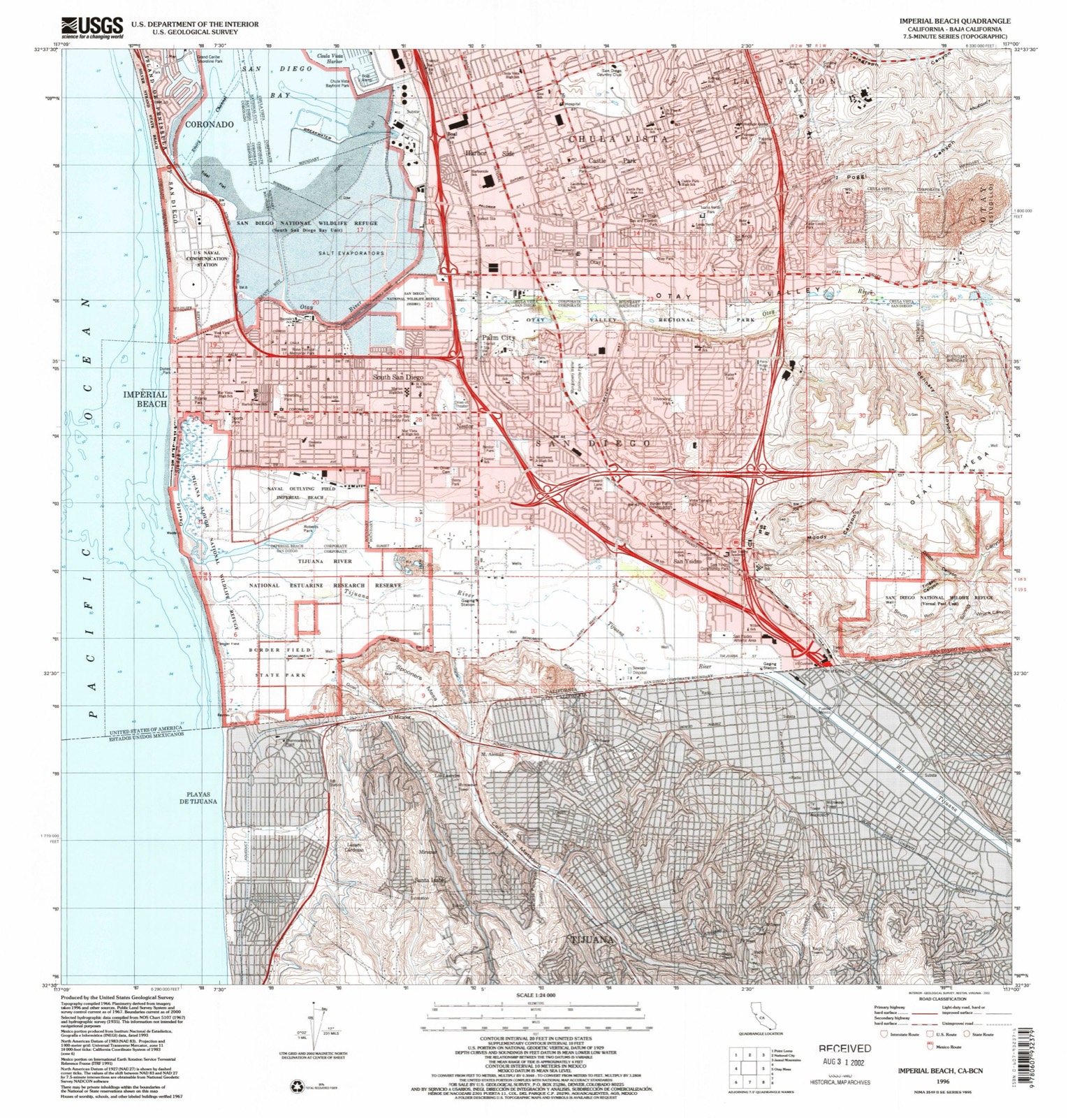
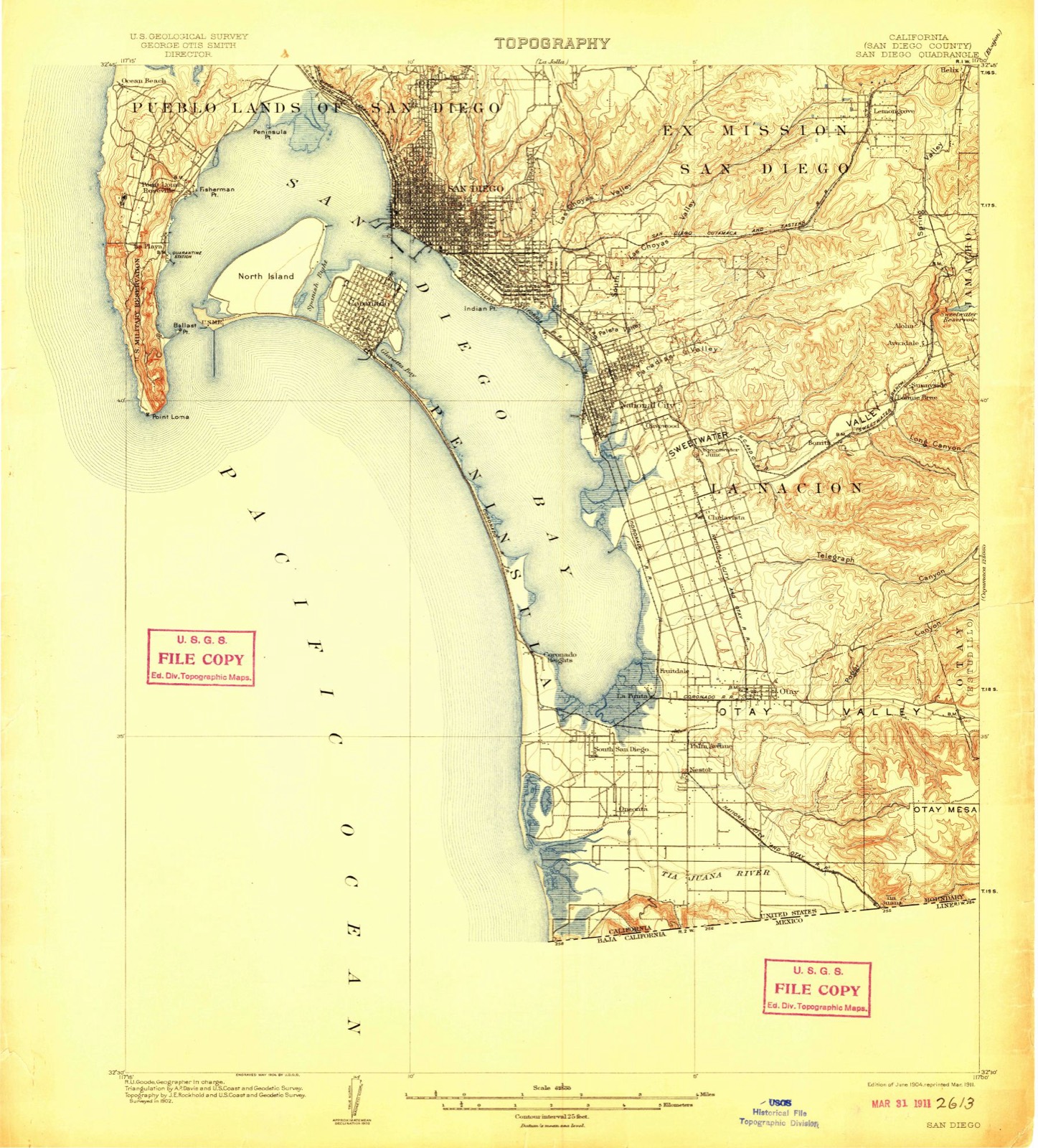
“The Initial Point of Boundary Between U.S. and Mexico is the westernmost boundary marker on the international boundary between the United States and Mexico and as such has since its erection marked the southwestern corner of the Continental United States. According to the 1848 Treaty of Guadalupe Hidalgo, the initial border point is set as one marine league south of the southernmost point of San Diego Bay, and the border proceeds in a straight line towards the confluence of the Colorado River and the Gila River.”
Wikipedia article Initial Point of Boundary Between U.S. and Mexico, CC BY-SA 4.0.
One of 148 National Register listings published here for San Diego County · listed in 1974 · category: Site.
Sources: the Wikipedia article · the case file at the National Archives · the National Register database, National Park Service