BlockBefore
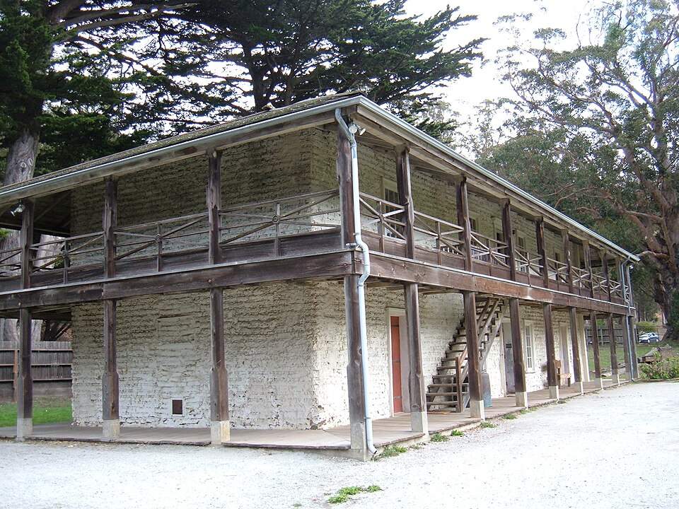
Photograph of Sánchez Adobe Park
Photograph by BrokenSphere, CC BY-SA 3.0. Via Wikimedia Commons.

Sanchez Adobe Park

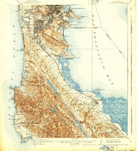
Listed on the National Register of Historic Places in 1976. 21 historic topographic surveys show this location, the earliest from 1892.

From the record

One of 63 National Register listings published here for San Mateo County · listed in 1976 · category: District.

Sources: the case file at the National Archives · the National Register database, National Park Service · the Wikipedia article

The listing

  • What is counted as historic. The nomination lists 1 building, 1 site, 1 structure as contributing to the listing.
  • Address. Linda Mar Blvd., 1 mi. E of CA 1, Pacifica, 94044
  • When was it listed? April 1976
  • Category. district
  • Census division. South San Francisco
  • National Register reference number. 76000525 - the number the National Park Service assigned this property when it was listed, and the key its nomination file is catalogued under at the National Archives.

Then and now

1892 to 1997

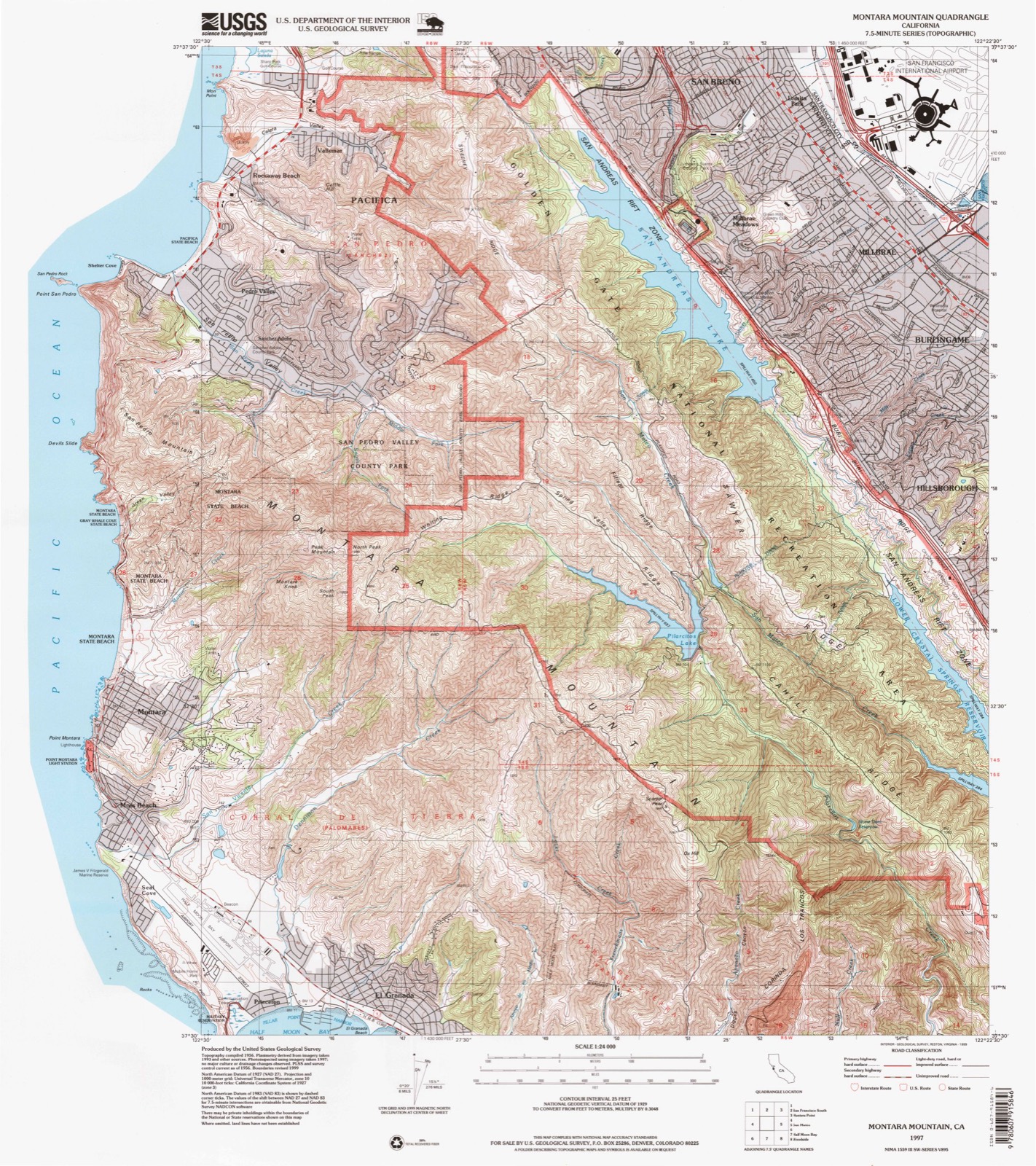
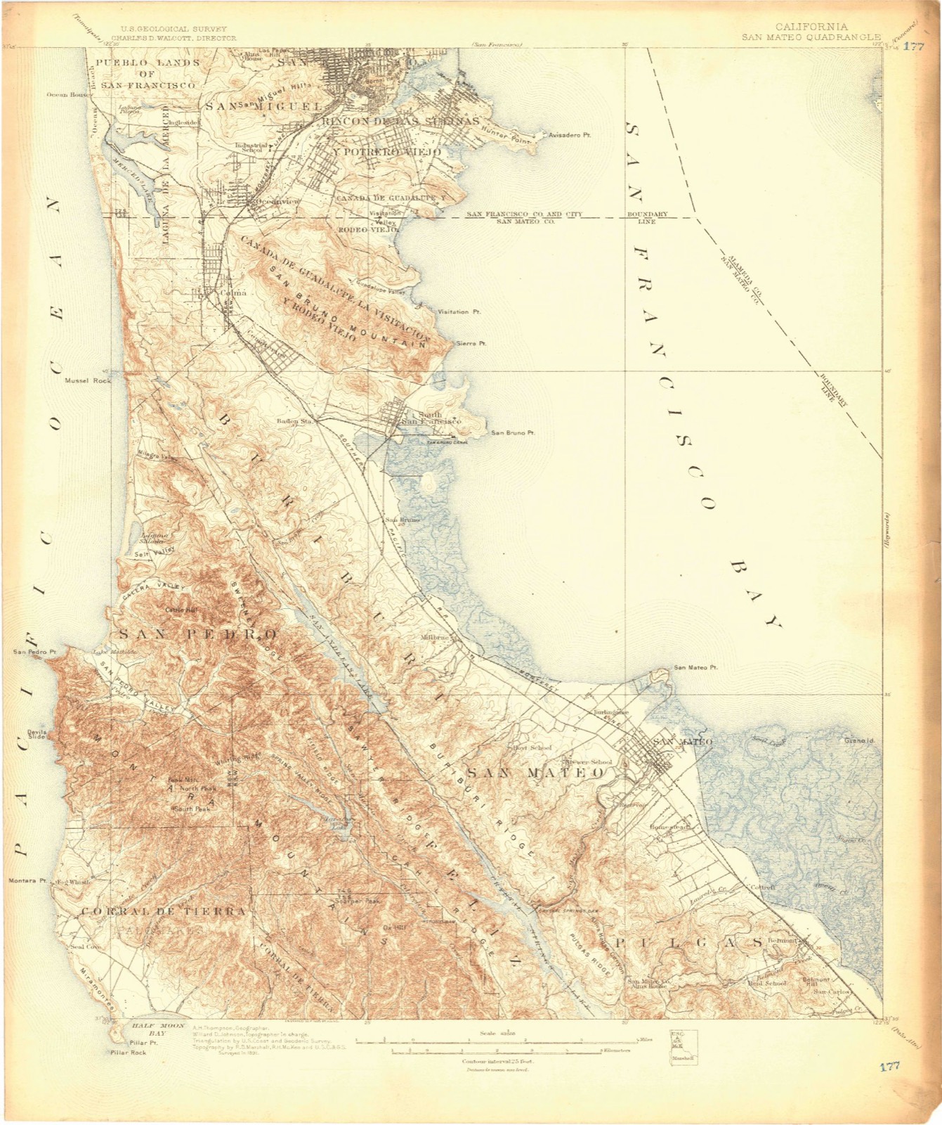
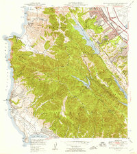
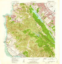
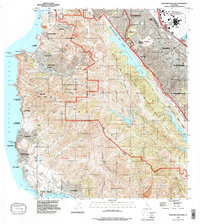
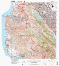
The ground this property stands on, surveyed 105 years apart. Drag the handle to wipe between them. Both sheets are United States Geological Survey originals; neither has been altered.

Topographic sheet covering Sanchez Adobe Park, surveyed 1997
Topographic sheet covering Sanchez Adobe Park, surveyed 1892

Fires near this property

148 since 1992

Regional context, not property-specific evidence. The federal wildfire occurrence database lists 148 fires within 5 miles of Sanchez Adobe Park between 1992 and 2020, burning about 89 acres in total. 2 started naturally. 22 were recorded as arson. Distance is straight-line from the map coordinates, so a fire counted here may appear on a neighbouring settlement's page as well.

Reported cause Fires
Missing data/not specified/undetermined84
Arson/incendiarism22
Equipment and vehicle use11
Misuse of fire by a minor10
Smoking7
Recreation and ceremony5
Debris and open burning4
Natural2
Power generation/transmission/distribution2
Fireworks1

The most recent of them, most recent first, with the day each was reported and the service that recorded it.

DateCause SizeReported by Name on the report
9 September 2010Missing data/not specified/undetermined1.0 acresCalifornia Department of Forestry & Fire Protectionnot named
9 September 2007Missing data/not specified/undeterminedunder an acreCalifornia Department of Forestry & Fire Protectionnot named
3 September 2009Missing data/not specified/undeterminedunder an acreCalifornia Department of Forestry & Fire Protectionnot named
28 September 2020Arson/incendiarismunder an acreSan Mateo-Santa Cruz Unit5TH ST / EAST AV
27 September 2009Missing data/not specified/undeterminedunder an acreCalifornia Department of Forestry & Fire Protectionnot named
27 September 2006Missing data/not specified/undeterminedunder an acreCalifornia Department of Forestry & Fire Protectionnot named
26 September 2016Missing data/not specified/undeterminedunder an acreCalifornia Department of Forestry & Fire ProtectionDEVILS SLIDE TUNNEL SOUTH
25 September 2010Missing data/not specified/undetermined2.0 acresSan Mateo-Santa Cruz UnitAIRPORT ST / LOS BANOS AV

Every fire recorded in San Mateo County

Mines and quarries near this property

10 of 15 shown

Regional context, not property-specific evidence. The federal mineral resources record lists 15 workings within 5 miles of Sanchez Adobe Park: 8 past producers, 6 producers, 1 prospect. 6 still produce. What was taken out: Stone, Crushed/Broken, Calcium, Sand and Gravel, Construction, Gold. Distance is straight-line from the map coordinates, so a quarry counted here may appear on a neighbouring settlement's page as well.

Where SiteCommodity StatusRecorded
Pacifica Quarry and MillStoneProducer
Deniston PeakGoldPast ProducerGold
Dennison PeakGoldProspect
Brumley-Donaldson Co.Sand and Gravel, ConstructionPast Producer
Pacific Coast Aggregates, Inc.Sand and Gravel, ConstructionPast Producer
RockawaySand and Gravel, ConstructionPast Producer
Calif. AggregatesCalciumPast Producer
Marks Materials Inc.CalciumProducer
RockawayCalciumProducer
RockawayCalciumPast Producer

Every working recorded in San Mateo County

Storms near this property

2 since 2012

Regional context, not property-specific evidence. The National Weather Service names Pacifica, the town this property stands in, in 2 storm reports between 2012 and 2020: 1 heavy rain, 1 thunderstorm wind. The reports record 5 injuries. Each account below is quoted exactly as the forecast office filed it, from the NOAA Storm Events Database, and each date opens the federal record of that event.

WhenEvent Place namedHarm What the report says
March 2012Heavy RainPacifica5 hurt, $50,000Two accidents shut down Highway 1 for brief periods. One occurred on March 14 which was a head-on crash just south of Devil's Slide. Two sedans were involved with minor injuries to the two drivers. The other occurred on March 16 when two trucks collided at 10:45 am west of the turnoff for Ox Mountain landfill. Three riders suffered minor cuts and bruises.
August 2020Thunderstorm WindPacifica-Mesonet station on Lake Drive reported.

Every storm recorded in San Mateo County

Maps showing this location

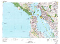
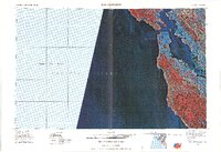
21 surveys

United States Geological Survey topographic sheets whose coverage includes this point. Matched by taking the coordinate the National Park Service records for this property, then testing that coordinate against the published boundary of every sheet.

Listed places nearby

6 within 8 miles

Other National Register properties close enough to walk or drive between, ordered by distance from this one. Both positions come from the same geocoding pass that matched these properties to their map sheets.

Photograph PropertyDistance Listed
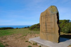
San Francisco Bay Discovery Site2.3 miles1968
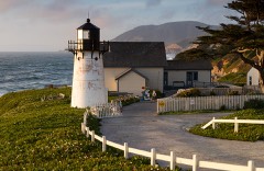
Point Montara Light Station3.8 miles1991
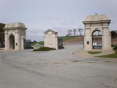
Golden Gate National Cemetery4.7 miles2016
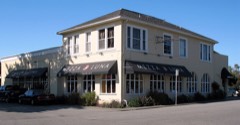
Princeton Hotel5.7 miles1979
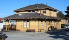
Southern Pacific Depot6.0 miles1978
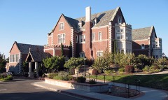
Kohl Mansion6.1 miles1982

Sources for this property

National Archives recordThe nomination case file for reference 76000525 in Record Group 79.
Wikipedia articleCommunity-written account of this property, licensed CC BY-SA.
San Mateo CountyAll 63 listed properties in this county.

Provenance

  • Listing record. National Park Service National Register of Historic Places, listed-properties dataset, current to 2026-05-22.
  • Map join. Address geocoded through the United States Census geocoder, then tested against the published boundary of every sheet in the USGS Historical Topographic Map Collection.
  • How this page is made. Listing fields come from federal records; map-sheet coverage is a labelled coordinate-to-boundary calculation, not a source-field claim.
  • Wildfire. Short, Karen C. 2022. Spatial wildfire occurrence data for the United States, 1992-2020 [FPA_FOD_20221014]. 6th Edition. Fort Collins, CO: Forest Service Research Data Archive. https://doi.org/10.2737/RDS-2013-0009.6 Collected with United States Government funding and usable without additional permissions or fees.
  • Mines and quarries. USGS Mineral Resources Data System (MRDS) https://mrdata.usgs.gov/mrds/ A work of the United States government, no copyright under 17 U.S.C. 105.
  • Storms. NOAA National Centers for Environmental Information, Storm Events Database https://www.ncei.noaa.gov/stormevents/ A work of the United States government, no copyright under 17 U.S.C. 105. Narratives are quoted verbatim from the National Weather Service report and are not edited or summarised.