Block
BlockFrom the record
One of 9 National Register listings published here for Inyo County · listed in 1978 · category: District.
Sources: the case file at the National Archives · the National Register database, National Park Service
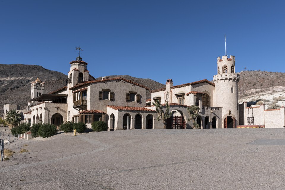
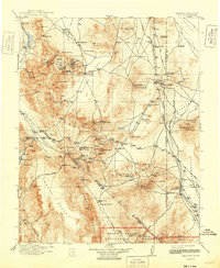
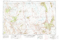
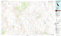
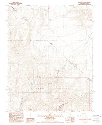
Listed on the National Register of Historic Places in 1978. 9 historic topographic surveys show this location, the earliest from 1908.
One of 9 National Register listings published here for Inyo County · listed in 1978 · category: District.
Sources: the case file at the National Archives · the National Register database, National Park Service
Regional context, not property-specific evidence. The federal wildfire occurrence database lists 1 fire within 5 miles of Death Valley Scotty Historic District in 2013, burning about 15 acres in total. None started naturally. None was recorded as arson. Distance is straight-line from the map coordinates, so a fire counted here may appear on a neighbouring settlement's page as well.
| Reported cause | Fires |
|---|---|
| Power generation/transmission/distribution | 1 |
The most recent of them, most recent first, with the day each was reported and the service that recorded it.
| Date | Cause | Size | Reported by | Name on the report |
|---|---|---|---|---|
| 21 May 2013 | Power generation/transmission/distribution | 15 acres | Death Valley National Park | SCOTTY |
Regional context, not property-specific evidence. The National Weather Service names Olancha, the town this property stands in, in 9 storm reports between 2005 and 2025: 7 flash flood, 2 flood. No death or injury is recorded in these reports. Each account below is quoted exactly as the forecast office filed it, from the NOAA Storm Events Database, and each date opens the federal record of that event.
| When | Event | Place named | Harm | What the report says |
|---|---|---|---|---|
| September 2022 | Flash Flood | Olancha | $10,000 | Both sides of Hwy 395 were flooded near Olancha Ln. Later reports noted large boulders in the road, and stated that the road was flexing from the water. |
| December 2010 | Flash Flood | Olancha | $10,000 | At least a foot of water flowed across Highway 395 south of Olancha. The ending time is estimated. |
| November 2025 | Flash Flood | Olancha | $5,000 | Highway 190 was closed between Olancha and Highway 136 due to excessive amounts of debris in the road. The time of occurrence was estimated. |
| March 2019 | Flash Flood | Olancha | $2,000 | Water, mud, and debris flowed over Highway 395 near Olancha. |
| January 2023 | Flood | Olancha | $1,000 | Highway 190 was closed from mile marker 4 to Highway 136. The flooding is believed to be from runoff draining down toward the Owens Dry Lake bed after heavy rain fell in the mountains hours earlier. |
| June 2020 | Flash Flood | Olancha | $1,000 | Flood waters nearly washed away a vehicle on Highway 190 two to three miles east of Highway 395. |
| January 2019 | Flash Flood | Olancha | $1,000 | Highway 395 was flooded at Olancha. |
| January 2017 | Flood | Olancha | - | Water was over Highway 395 in two places near Olancha, but the road was still passable. |
| February 2005 | Flash Flood | Olancha | - | Heavy rains caused flooding along US 395 in Olancha. |
United States Geological Survey topographic sheets whose coverage includes this point. Matched by taking the middle of the area the National Park Service maps for this listing, then testing that coordinate against the published boundary of every sheet.
| National Archives record | The nomination case file for reference 78000297 in Record Group 79. |
| Inyo County | All 9 listed properties in this county. |