Block
BlockFrom the record
One of 148 National Register listings published here for San Diego County · listed in 1978 · category: Building.
Sources: the case file at the National Archives · the National Register database, National Park Service
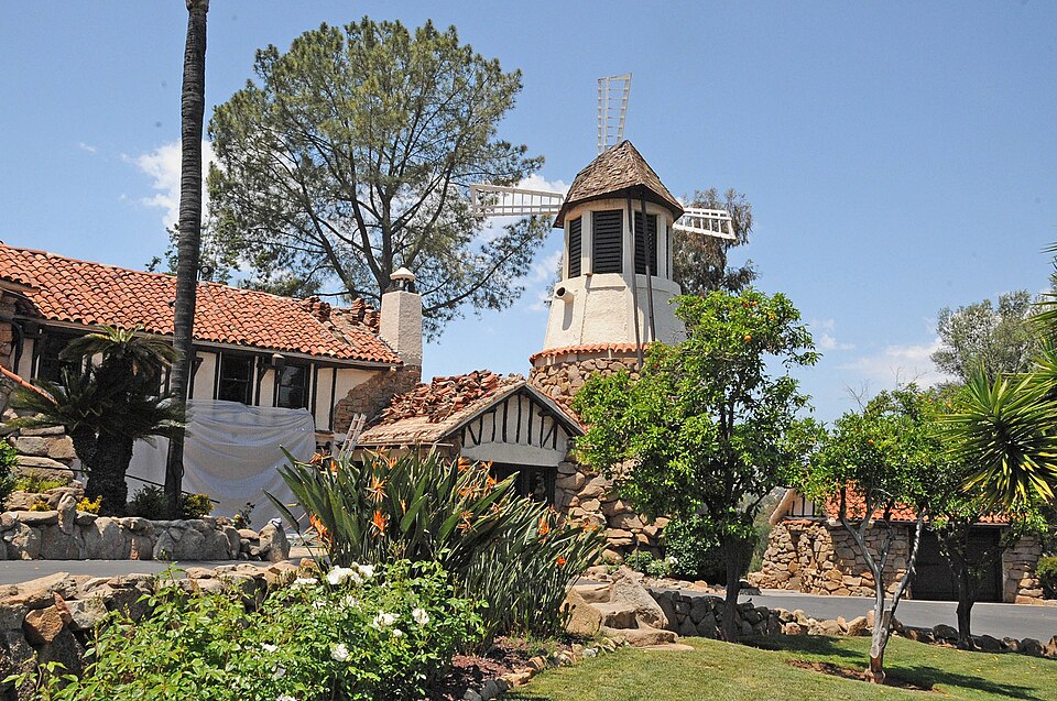
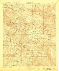
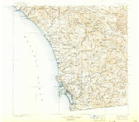
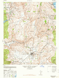
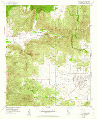
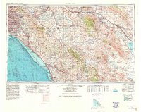
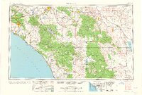
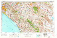
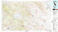
Listed on the National Register of Historic Places in 1978. 13 historic topographic surveys show this location, the earliest from 1903.
One of 148 National Register listings published here for San Diego County · listed in 1978 · category: Building.
Sources: the case file at the National Archives · the National Register database, National Park Service
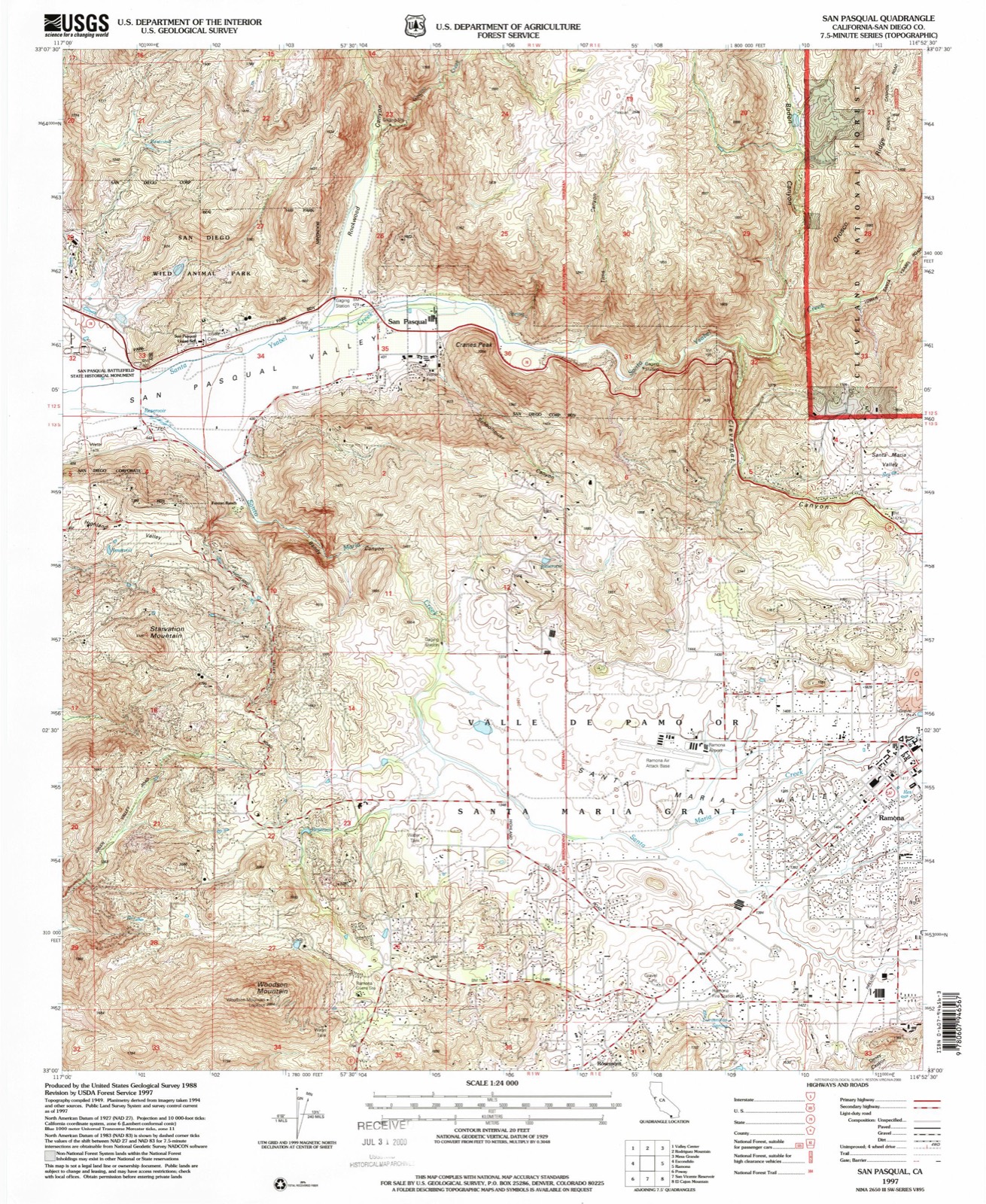
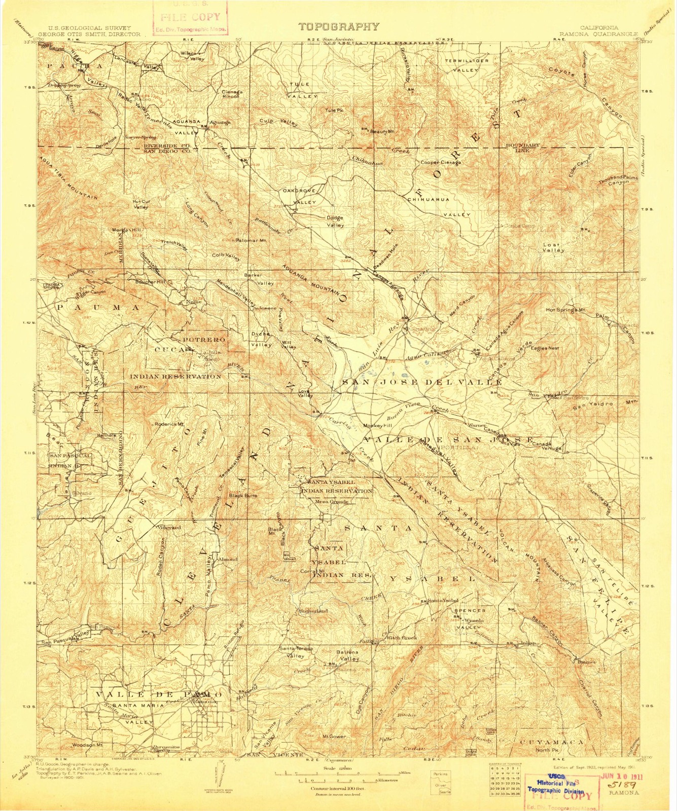
The ground this property stands on, surveyed 94 years apart. Drag the handle to wipe between them. Both sheets are United States Geological Survey originals; neither has been altered.
Regional context, not property-specific evidence. The federal wildfire occurrence database lists 381 fires within 5 miles of Castle, The between 1992 and 2020, burning about 5,430 acres in total. 2 started naturally. 29 were recorded as arson. Distance is straight-line from the map coordinates, so a fire counted here may appear on a neighbouring settlement's page as well.
| Reported cause | Fires |
|---|---|
| Missing data/not specified/undetermined | 174 |
| Equipment and vehicle use | 105 |
| Arson/incendiarism | 29 |
| Debris and open burning | 27 |
| Misuse of fire by a minor | 21 |
| Recreation and ceremony | 12 |
| Smoking | 5 |
| Power generation/transmission/distribution | 4 |
| Natural | 2 |
| Other causes | 2 |
The most recent of them, most recent first, with the day each was reported and the service that recorded it.
| Date | Cause | Size | Reported by | Name on the report |
|---|---|---|---|---|
| 8 September 1993 | Arson/incendiarism | 409 acres | California Desert District | CLEVENGER |
| 7 September 1995 | Arson/incendiarism | under an acre | San Diego Unit | HUNTER |
| 5 September 1995 | Missing data/not specified/undetermined | under an acre | San Diego Unit | ROBERTSON |
| 5 September 1994 | Misuse of fire by a minor | 1.5 acres | San Diego Unit | LA BREA |
| 4 September 1997 | Equipment and vehicle use | under an acre | San Diego Unit | PATCO |
| 30 September 2010 | Missing data/not specified/undetermined | 1.0 acres | San Diego Unit | DYE RD / RAMONA ST |
| 28 September 2012 | Missing data/not specified/undetermined | 12 acres | San Diego Unit | MATTHEW |
| 28 September 1993 | Arson/incendiarism | 705 acres | California Desert District | COACH |
Regional context, not property-specific evidence. The federal mineral resources record lists 6 workings within 5 miles of Castle, The: 2 prospects, 2 past producers, 1 occurrence, 1 producer. 1 still produces. What was taken out: Molybdenum, Sand and Gravel, Construction. Distance is straight-line from the map coordinates, so a quarry counted here may appear on a neighbouring settlement's page as well.
| Where | Site | Commodity | Status | Recorded |
|---|---|---|---|---|
| San Pasqual Pit | Sand and Gravel, Construction | Past Producer | ||
| Bour | Molybdenum | Occurrence | Ferrimolybdite, Molybdenite | |
| Bour Deposit | Molybdenum | Prospect | ||
| Bour Mine | Molybdenum | Producer | Ferrimolybdite, Molybdenite | |
| Fernbrook Deposit | Molybdenum | Prospect | ||
| Judson Ranch Deposit | Molybdenum | Past Producer |
Regional context, not property-specific evidence. The National Weather Service names Ramona, the town this property stands in, in 28 storm reports between 1998 and 2023: 10 flash flood, 9 wildfire, 2 thunderstorm wind, 2 debris flow. The reports record 13 injuries. Each account below is quoted exactly as the forecast office filed it, from the NOAA Storm Events Database, and each date opens the federal record of that event.
| When | Event | Place named | Harm | What the report says |
|---|---|---|---|---|
| August 2002 | Wildfire | Ramona | 4 hurt | no account filed |
| August 1999 | Wildfire | Ramona | 3 hurt | A wild fire burned 300 acres. Three firefighters were slightly injured. |
| June 2001 | Wildfire | Ramona | 3 hurt | no account filed |
| August 2001 | Wildfire | Ramona | 3 hurt | no account filed |
| September 2007 | Thunderstorm Wind | Ramona | $60,000 | A thunderstorm with heavy rain produced a severe microburst in downtown Ramona. Numerous trees were blown over or sustained damage, including a number of Eucalyptus trees along Main Street. Several power poles were blown over along Highway 78 just east of town and a few outbuildings sustained damaged. There was also damaged to signs, fencing, and even a public bench. |
| April 2004 | Flash Flood | Ramona | $45,000 | no account filed |
| March 2006 | Tornado (F0) | Ramona | $25,000 | This tornado touched down along highway 78 just northwest of Ramona before moving into a rural neighborhood on the outskirts of town. The tornado knocked downed dozens of trees, snapped a few pines in half, tossed a child's fort, damaged some solar panels, bent or distorted a couple of rolling garage doors, ripped off the metal roofing from a storage shed or barn, and blew off a number of tiles from a roof. |
| December 2004 | Flash Flood | Ramona | $15,000 | A resident of the San Diego Country Estates who's property is in the Cedar Fire burn area reported that 1.10 inches of rain fell in 40 minutes, resulting in a high velocity mudflow that traveled down the burned hills and through his yard. |
| February 2019 | Flash Flood | Ramona | $10,000 | Swift water rescue near Barona Indian Reservation on Wildcat Canyon road. Heavy rainfall of 4 to 6 inches occurred in about 12 hours. |
| January 2005 | Flash Flood | Ramona | $10,000 | no account filed |
| January 2005 | Flash Flood | Ramona | $5,000 | no account filed |
| January 2023 | Debris Flow | Ramona | - | CalTrans report of a mudslide on Old Julian Highway by MM 4.5. |
| March 2023 | Debris Flow | Ramona | - | The Department of Highways reported a large boulder blocking the southbound lanes of Highway 78. |
| March 2022 | Heavy Rain | Ramona | - | Public report of rainfall of 1.17 inch, 1mi SSE of Ramona. |
| September 2022 | Flash Flood | Ramona | - | Portions of Wildcat Canyon Rd on the Barona Reservation under 3-10 inches of running water due to heavy rainfall. Visibility reduced to 1/4 mile during rain. |
| August 2021 | Thunderstorm Wind | Ramona | - | Reported branches down on roadway and small trees near San Vincente Road and Wildcat Canyon Road in south Ramona. Wind gusts nearby 40 to 45 mph on mesonet. |
| June 2015 | Flash Flood | Ramona | - | CHP reported a second-hand report of flash flood wash out with a depth of 1.5 feet of soil across the pavement at Highland Valley Road and Highway 67 near Ramona, as well as a mud slide across roadway at Highland Valley Road and Archie Moore Road in Poway. |
| August 2014 | Flash Flood | Ramona | - | Water up to 2 feet deep reported at the intersection of Aqua and 4th Streets. |
| September 2012 | Flood | Ramona | - | Spotter SDG447 reported 0.84 inches of rain between 1430 and 1500 PST, which resulted in flooded roadways in the San Diego Country Estates area. |
| July 2005 | Lightning | Ramona | - | Lightning ignited 3 fires on Orosco Ridge in the Ramona area. The fires burned 20 acres. |
| October 2004 | Flash Flood | Ramona | - | Heavy rain caused Klondike Creek to overflow across a 25-30 ft section of Wildcat Canyon Road near San Diego Country Estates. |
| September 2005 | Funnel Cloud | Ramona | - | no account filed |
| February 2004 | Flash Flood | Ramona | - | no account filed |
| August 2003 | Wildfire | Ramona | - | no account filed |
| May 2002 | Wildfire | Ramona | - | no account filed |
| October 2001 | Wildfire | Ramona | - | no account filed |
| July 2001 | Wildfire | Ramona | - | no account filed |
| August 1998 | Wildfire | Ramona | - | no account filed |
United States Geological Survey topographic sheets whose coverage includes this point. Matched by taking the coordinate the National Park Service records for this property, then testing that coordinate against the published boundary of every sheet.
Other National Register properties close enough to walk or drive between, ordered by distance from this one. Both positions come from the same geocoding pass that matched these properties to their map sheets.
| Photograph | Property | Distance | Listed |
|---|---|---|---|
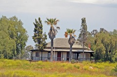 | Montecito Ranch House | 4.0 miles | 2017 |
| Ramona Main Street Colonnade | 4.6 miles | 2018 | |
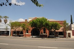 | Ramona Town Hall | 5.7 miles | 1994 |
 | Theophile Verlaque House | 5.8 miles | 1991 |
| National Archives record | The nomination case file for reference 78000749 in Record Group 79. |
| San Diego County | All 148 listed properties in this county. |