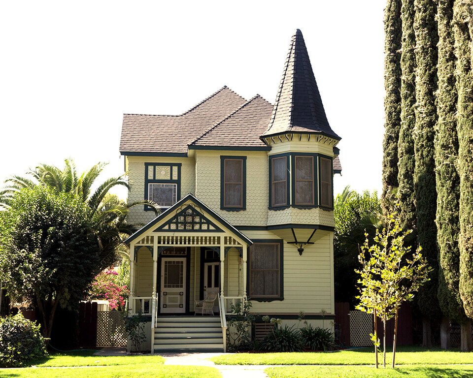
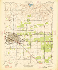
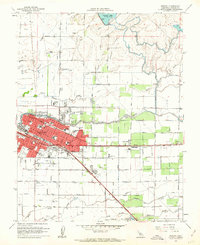
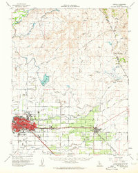
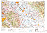
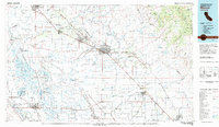
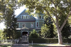
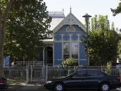
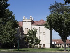
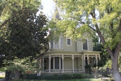
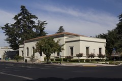
Listed on the National Register of Historic Places in 1979. 11 historic topographic surveys show this location, the earliest from 1914.
From the record
“The Leggett House in Merced, California, also known as Queen Anne Inn, is a historic house located at 352 W. 22nd St. in Merced, California. The house was built in the Queen Anne style of Victorian architecture.”
Wikipedia article Leggett House (Merced, California), CC BY-SA 4.0.
One of 15 National Register listings published here for Merced County · listed in 1979 · category: Building.
Architectural style. Queen Anne style architecture in the United States
National Register reference number.79000501- the number the National Park Service assigned this property when it was listed, and the key its nomination file is catalogued under at the National Archives.
Then and now
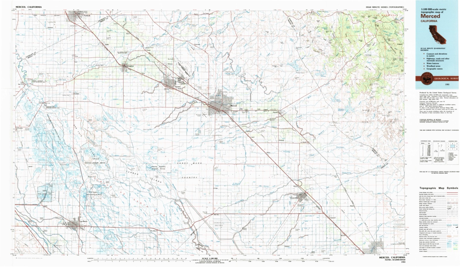
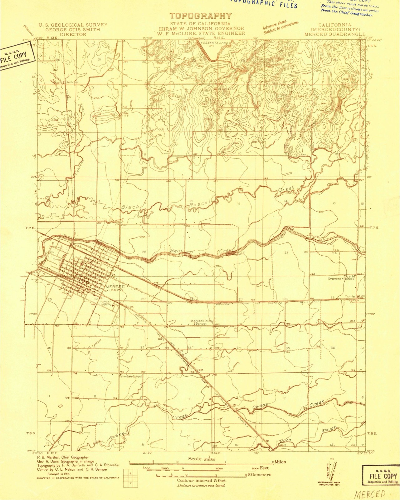
1914 to 1983
The ground this property stands on, surveyed
69 years apart. Drag the handle to wipe between them. Both sheets are
United States Geological Survey originals; neither has been altered.
19141983
Fires near this property
1,152 since 1992
Regional context, not property-specific
evidence. The
federal wildfire occurrence database
lists 1,152 fires within 5 miles of Leggett House
between 1992 and 2020, burning about 1,484 acres in total. 5 started naturally. 89 were recorded as arson.
Distance is straight-line from the map coordinates, so a fire counted
here may appear on a neighbouring settlement's page as well.
Reported cause
Fires
Missing data/not specified/undetermined
618
Equipment and vehicle use
208
Debris and open burning
125
Arson/incendiarism
89
Misuse of fire by a minor
44
Smoking
43
Power generation/transmission/distribution
10
Railroad operations and maintenance
6
Natural
5
Recreation and ceremony
3
Other causes
1
The most recent of
them, most recent first, with the day each was reported and the service
that recorded it.
Date
Cause
Size
Reported by
Name on the report
9 September 2019
Debris and open burning
under an acre
Merced-Mariposa Unit
NORTH BEAR CREEK DR E MCK
9 September 2017
Missing data/not specified/undetermined
under an acre
California Department of Forestry & Fire Protection
PACIFIC
9 September 2017
Equipment and vehicle use
under an acre
California Department of Forestry & Fire Protection
DUNN
9 September 2016
Missing data/not specified/undetermined
under an acre
California Department of Forestry & Fire Protection
Regional context, not property-specific
evidence. The National Weather Service names
Merced, the town this property stands in, in 26 storm reports between 1995 and 2010: 6 heavy rain, 5 funnel cloud, 3 tornado, 3 lightning.
No death or injury is recorded in these reports. Each account below is quoted exactly as the forecast office
filed it, from the NOAA Storm Events Database, and each date
opens the federal record of that event.
The McNamera Fire was of unknown origin and burned about 650 acres before containment. One primary structure was lost but no injuries or fatalities were reported.
A trained spotter noted a funnel cloud approaching the city of Merced and tracked the northward movement of that funnel. At 1448 PST the funnel removed half of the corrugated roof of a farm maintenance shop and lifted it up and over adjacent power lines to the north. Eyewitness accounts indicated rotation and movement of the lowest level clouds toward the NE approximately 0.19 miles. Other than two ground contact points, beginning and end of the damage track, there was no evidence of any other ground contact from the funnel. Analysis by a local structural engineer aided in the assignment of the F0 rating.
Merced County Sheriff reports plus reports from truck drivers indicated that hail was large and deep enough to cause cars to slide off State Highway 99 just north of the Merced/Madera County line.
Sheriff Department report of three-quarters hail in the City of Merced. Rainfall mostly within a one-hour period of time was 1.81 inches after 1325 PDT. Continued damage to valley agriculture likely but not specifically assessed to this storm (see Dos Palos Y below).
United States Geological Survey topographic
sheets whose coverage includes this point. Matched by taking the coordinate the National Park Service records for this property, then
testing that coordinate against the published boundary of every sheet.
Other National Register properties close
enough to walk or drive between, ordered by distance from this one. Both
positions come from the same geocoding pass that matched these properties
to their map sheets.
Listing record. National Park Service National Register of Historic Places, listed-properties dataset, current to 2026-05-22.
Map join. Address geocoded through the United States Census geocoder, then tested against the published boundary of every sheet in the USGS Historical Topographic Map Collection.
How this page is made. Listing fields come from federal records; map-sheet coverage is a labelled coordinate-to-boundary calculation, not a source-field claim.
Wildfire. Short, Karen C. 2022. Spatial wildfire occurrence data for the United States, 1992-2020 [FPA_FOD_20221014]. 6th Edition. Fort Collins, CO: Forest Service Research Data Archive. https://doi.org/10.2737/RDS-2013-0009.6 Collected with United States Government funding and usable without additional permissions or fees.
Storms. NOAA National Centers for Environmental Information, Storm Events Database https://www.ncei.noaa.gov/stormevents/ A work of the United States government, no copyright under 17 U.S.C. 105. Narratives are quoted verbatim from the National Weather Service report and are not edited or summarised.
 Block
Block