Block
BlockFrom the record
One of 9 National Register listings published here for Inyo County · listed in 1980 · category: District.
Sources: the case file at the National Archives · the National Register database, National Park Service
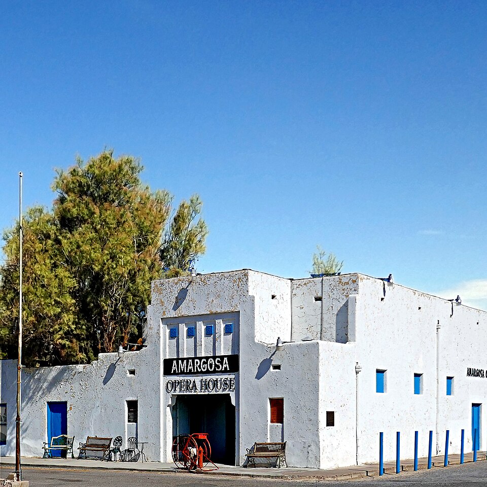
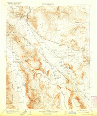
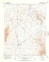
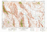
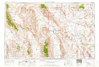
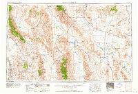
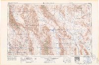
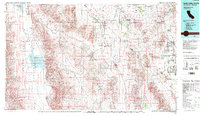
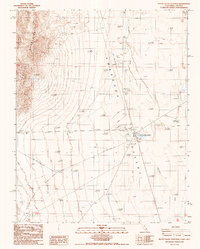
Listed on the National Register of Historic Places in 1980. 13 historic topographic surveys show this location, the earliest from 1908.
One of 9 National Register listings published here for Inyo County · listed in 1980 · category: District.
Sources: the case file at the National Archives · the National Register database, National Park Service
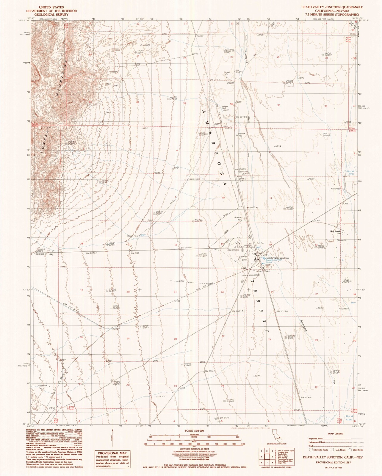
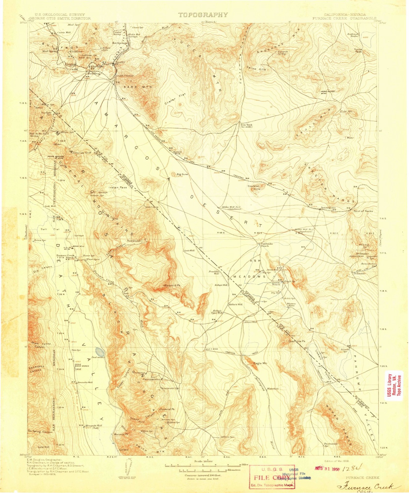
The ground this property stands on, surveyed 79 years apart. Drag the handle to wipe between them. Both sheets are United States Geological Survey originals; neither has been altered.
Regional context, not property-specific evidence. The federal mineral resources record lists 6 workings within 5 miles of Death Valley Junction Historic District: 2 unknowns, 2 past producers, 1 producer, 1 occurrence. 1 still produces. What was taken out: Boron-Borates, Gold, Sand and Gravel, Construction, Calcium. Distance is straight-line from the map coordinates, so a quarry counted here may appear on a neighbouring settlement's page as well.
| Where | Site | Commodity | Status | Recorded |
|---|---|---|---|---|
| Ash Meadows (California) | Zeolites | Past Producer | ||
| Death Valley Junction Pit | Sand and Gravel, Construction | Producer | ||
| Smith Prospect | Gold | Unknown | ||
| Tuff | Calcium | Occurrence | ||
| Boraxo Pit | Boron-Borates | Past Producer | ||
| North Eagle Mountain Prospects | Boron-Borates | Unknown |
United States Geological Survey topographic sheets whose coverage includes this point. Matched by taking the middle of the area the National Park Service maps for this listing, then testing that coordinate against the published boundary of every sheet.
| National Archives record | The nomination case file for reference 80000802 in Record Group 79. |
| Inyo County | All 9 listed properties in this county. |