Block
BlockFrom the record
One of 9 National Register listings published here for Inyo County · listed in 1981 · category: District.
Sources: the case file at the National Archives · the National Register database, National Park Service
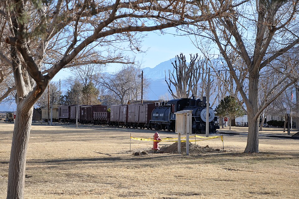
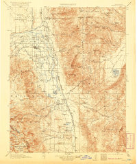
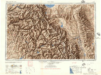
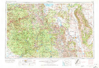
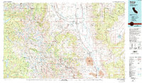
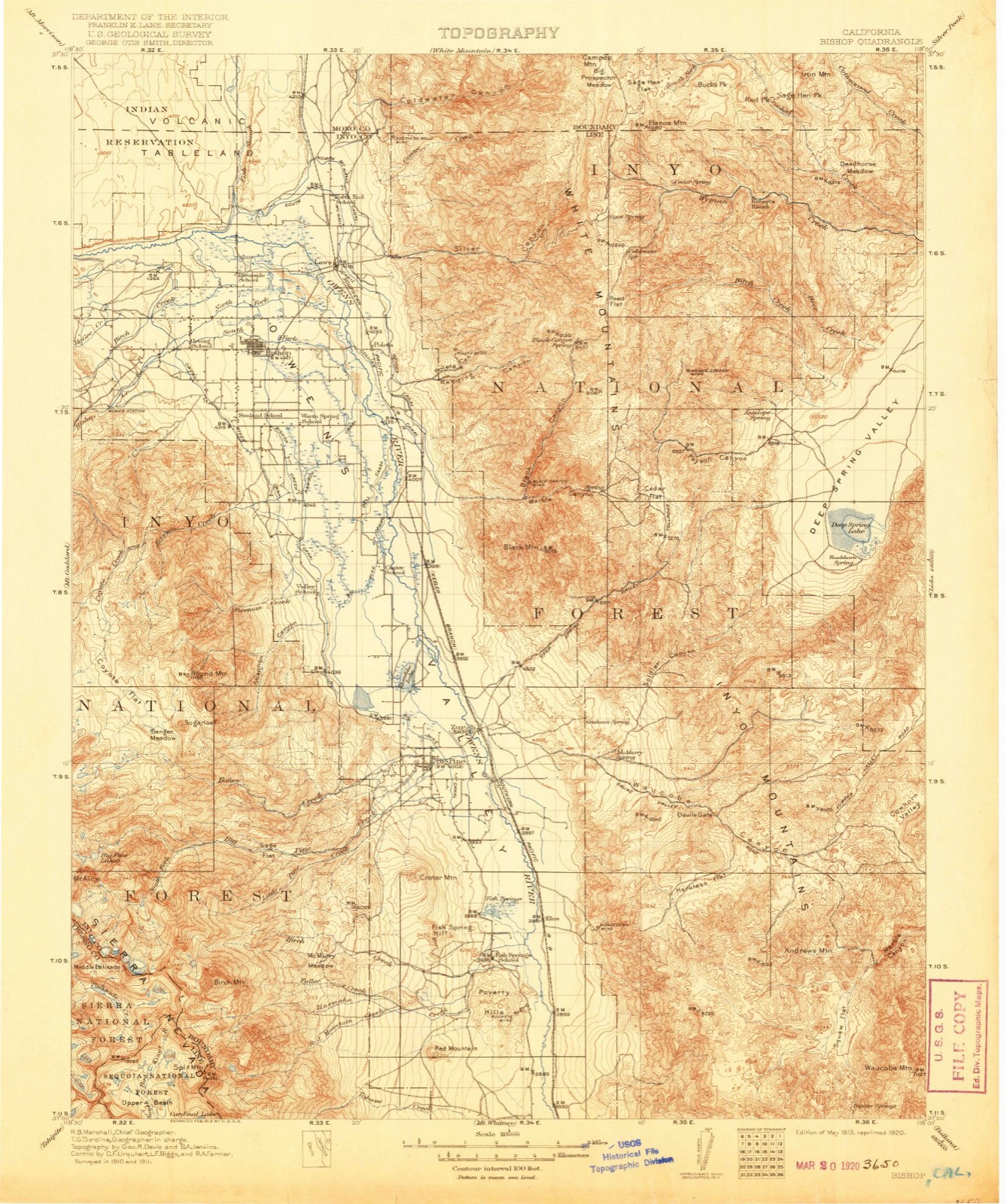
Listed on the National Register of Historic Places in 1981. 10 historic topographic surveys show this location, the earliest from 1913.
One of 9 National Register listings published here for Inyo County · listed in 1981 · category: District.
Sources: the case file at the National Archives · the National Register database, National Park Service
The ground this property stands on, surveyed 81 years apart. Drag the handle to wipe between them. Both sheets are United States Geological Survey originals; neither has been altered.
Regional context, not property-specific evidence. The federal wildfire occurrence database lists 145 fires within 5 miles of Laws Narrow Gauge Railroad Historic District between 1992 and 2018, burning about 1,431 acres in total. 6 started naturally. 10 were recorded as arson. Distance is straight-line from the map coordinates, so a fire counted here may appear on a neighbouring settlement's page as well.
| Reported cause | Fires |
|---|---|
| Missing data/not specified/undetermined | 67 |
| Equipment and vehicle use | 24 |
| Recreation and ceremony | 14 |
| Arson/incendiarism | 10 |
| Smoking | 9 |
| Debris and open burning | 8 |
| Misuse of fire by a minor | 6 |
| Natural | 6 |
| Power generation/transmission/distribution | 1 |
The most recent of them, most recent first, with the day each was reported and the service that recorded it.
| Date | Cause | Size | Reported by | Name on the report |
|---|---|---|---|---|
| 3 September 2009 | Missing data/not specified/undetermined | under an acre | San Bernardino Unit | BISHOP AIRPORT BISHOP_F 4 |
| 24 September 1994 | Natural | under an acre | Central California District | RIVERSIDE |
| 22 September 1997 | Equipment and vehicle use | under an acre | San Bernardino Unit | RIVER |
| 20 September 2014 | Natural | under an acre | San Bernardino Unit | BROCKMAN LN / DIXON LN 3 |
| 17 September 1999 | Natural | under an acre | San Bernardino Unit | DIXON |
| 14 September 2018 | Missing data/not specified/undetermined | under an acre | California Department of Forestry & Fire Protection | SUNLAND DR BISHOP_FIRE_D |
| 11 September 1992 | Missing data/not specified/undetermined | under an acre | San Bernardino Unit | SOUTH # 2 |
| 10 September 1992 | Equipment and vehicle use | under an acre | San Bernardino Unit | SOUTH |
Regional context, not property-specific evidence. The federal mineral resources record lists 29 workings within 5 miles of Laws Narrow Gauge Railroad Historic District: 15 past producers, 8 prospects, 4 producers, 2 occurrences. 4 still produce. What was taken out: Gold, Sand and Gravel, Construction, Silver, Pumice. Distance is straight-line from the map coordinates, so a quarry counted here may appear on a neighbouring settlement's page as well.
| Where | Site | Commodity | Status | Recorded |
|---|---|---|---|---|
| Barite Queen Prospect | Barium-Barite | Prospect | ||
| Laws Custom Mill | Kaolin, Clay | Producer | ||
| New Year Copper | Copper | Prospect | ||
| Poleta | Gold, Copper, Lead, Silver | Past Producer | ||
| Poleta Mine | Gold, Silver, Lead, Iron | Past Producer | Gold, Limonite | |
| Saratoga, Lexington, Ranger | Gold, Copper, Silver | Past Producer | ||
| White Rock | Gypsum-Anhydrite | Occurrence | ||
| Silver Hill | Silver, Lead | Prospect | ||
| Hidecker Pumice | Pumice | Past Producer | ||
| Insulating Aggregates, Inc. | Pumice | Past Producer |
Regional context, not property-specific evidence. The National Weather Service names Bishop, the town this property stands in, in 15 storm reports between 1997 and 2023: 6 thunderstorm wind, 3 flash flood, 2 hail, 1 heavy rain. No death or injury is recorded in these reports. Each account below is quoted exactly as the forecast office filed it, from the NOAA Storm Events Database, and each date opens the federal record of that event.
| When | Event | Place named | Harm | What the report says |
|---|---|---|---|---|
| December 2010 | Heavy Rain | Bishop | $20,000 | Heavy rain produced minor flooding of numerous streets and several yards in Bishop. |
| July 2013 | Thunderstorm Wind | Bishop | $10,000 | Two trees were blown down by thunderstorm outflow winds. One tree landed on a mobile home. |
| May 2013 | Thunderstorm Wind | Bishop | $10,000 | Thunderstorm winds blew down trees and limbs in Bishop. |
| July 1997 | Flash Flood | Bishop | $10,000 | Flash flooding occurred in several washes on the west slopes of the White Mountains causing some damage to roads. |
| March 2019 | Flash Flood | Bishop | $5,000 | The intersection of Sunland Dr and Gerkin Rd south of Bishop was flooded, with debris in the road and minor damage to the edge of the road. |
| July 2023 | Flood | Bishop | $1,000 | Tungsten City Road near Bishop was closed due to flooding. Note that this was strictly snowmelt flooding. |
| August 2020 | Thunderstorm Wind | Bishop | $1,000 | Outflow winds from distant thunderstorms blew down numerous tree branches|onto Highway 395 near West Bishop, closing the road for a short while. A weather station about six miles away recorded a gust of 60 mph. |
| June 2016 | Lightning | Bishop | $1,000 | Lightning started a fire near the gun club just north of West Bishop. |
| July 2016 | Flash Flood | Bishop | $1,000 | Two feet of water covered Hobbs Circle. Water in the storm drain blew off a manhole cover and spouted like a geyser. |
| July 2016 | Thunderstorm Wind | Bishop | $1,000 | Thunderstorm winds blew a large tree down onto Highway 395. |
| July 2014 | Thunderstorm Wind | Bishop | $1,000 | Thunderstorm winds blew down 6-8 inch tree branches. |
| September 2014 | Thunderstorm Wind | Bishop | $1,000 | Thunderstorm winds blew a tree onto Sunland Lane, blocking half of the road. The Bishop ASOS recorded a peak gust of 56 mph several minutes before the tree fell. |
| March 2018 | Tornado (EF0) | Bishop | - | There were several public reports of a landspout tornado. Additional information was gathered from the local newspaper in Bishop California. |
| October 2010 | Hail | Bishop | - | The largest stones were penny size; most stones were smaller. |
| July 2015 | Hail | Bishop | - | no account filed |
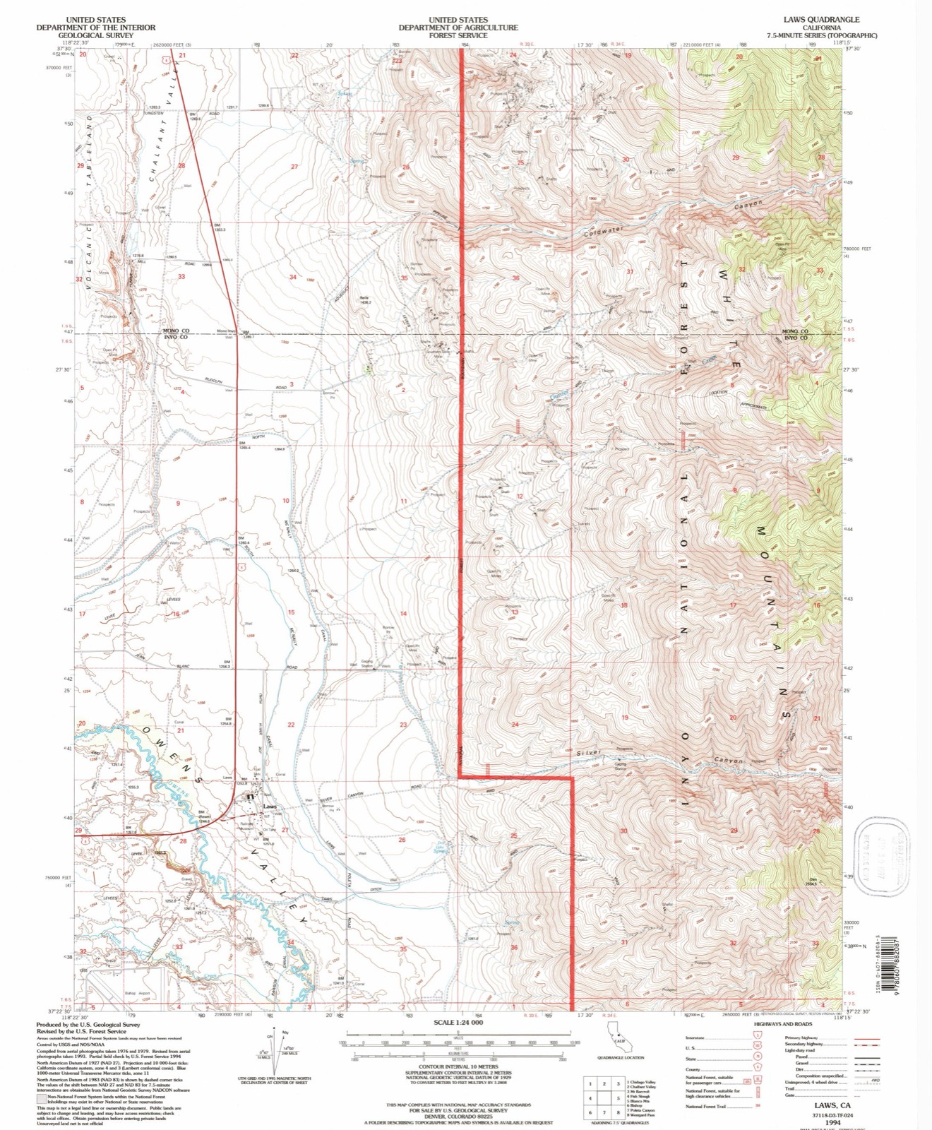
United States Geological Survey topographic sheets whose coverage includes this point. Matched by taking the coordinate the National Park Service records for this property, then testing that coordinate against the published boundary of every sheet.
| National Archives record | The nomination case file for reference 81000149 in Record Group 79. |
| Inyo County | All 9 listed properties in this county. |