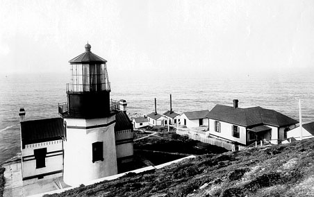
Photograph by United States Coast Guard, Public domain. Via
Wikimedia Commons.
Point Conception Light Station
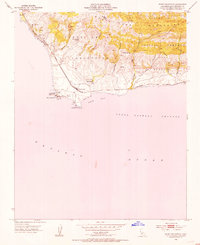
Built in 1856. Listed on the National Register of Historic Places in 1981. 10 historic topographic surveys show this location, the earliest from 1942.
From the record
“Point Conception Light is a lighthouse in Santa Barbara County, California, on Point Conception at the west entrance of the Santa Barbara Channel, California. One of the earliest California lighthouses, it is listed on the National Register of Historic Places on the Gaviota Coast.”
Wikipedia article Point Conception Light, CC BY-SA 4.0.
One of 38 National Register listings published here for Santa Barbara County · listed in 1981 · category: District · built in 1856.
National Register reference number.81000176- the number the National Park Service assigned this property when it was listed, and the key its nomination file is catalogued under at the National Archives.
Then and now
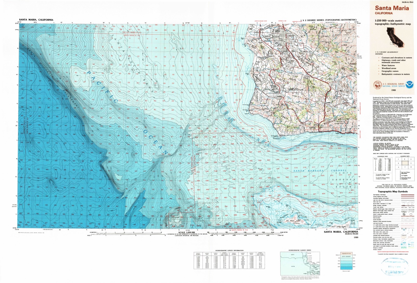
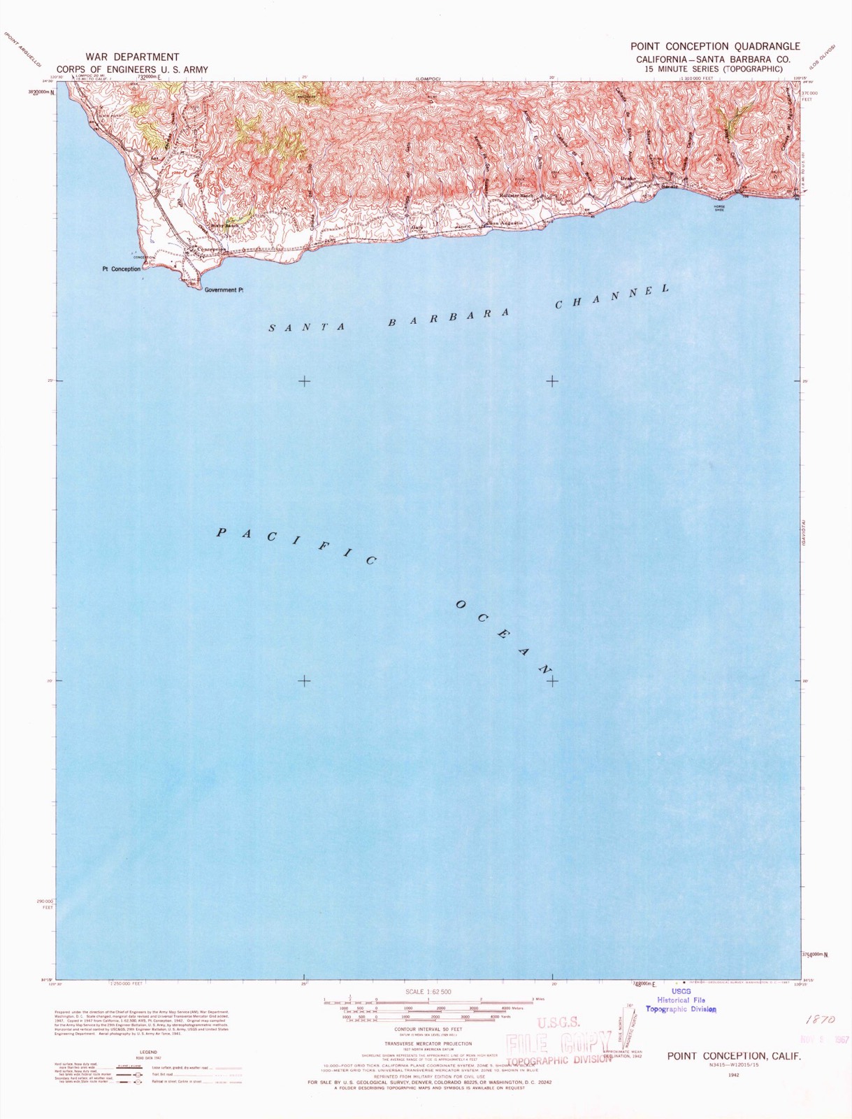
1942 to 1989
The ground this property stands on, surveyed
47 years apart. Drag the handle to wipe between them. Both sheets are
United States Geological Survey originals; neither has been altered.
19421989
Fires near this property
3 since 2004
Regional context, not property-specific
evidence. The
federal wildfire occurrence database
lists 3 fires within 5 miles of Point Conception Light Station
between 2004 and 2011, burning about 309 acres in total. None started naturally. None was recorded as arson.
Distance is straight-line from the map coordinates, so a fire counted
here may appear on a neighbouring settlement's page as well.
Reported cause
Fires
Missing data/not specified/undetermined
3
The most recent of
them, most recent first, with the day each was reported and the service
that recorded it.
Regional context, not property-specific
evidence. The National Weather Service names
Santa Barbara, the town this property stands in, in 28 storm reports between 1993 and 2025: 12 flash flood, 5 thunderstorm wind, 5 flood, 2 waterspout.
The reports record 3 injuries. Each account below is quoted exactly as the forecast office
filed it, from the NOAA Storm Events Database, and each date
opens the federal record of that event.
A severe thunderstorm generate damaging microburst winds across the city of Santa Barbara. Thunderstorm wind gusts up to 80 MPH were reported. With such strong winds, widespread significant damage was reported, including many trees being uprooted. Along San Pascual Street, a high voltage power line was knocked down, resulting in major burn injuries for one male. At Stearns Wharf, numerous boats were washed ashore and one teenage female was injured.
The combination of dry vegetation and weak offshore winds helped fuel a wildfire in the Los Padres National Forest, north of the city of Santa Barbara. The Ogilvy Fire, started by sparks from weed cutting, burned over 4,200 acres of forest. One minor injury was reported.
Bands of showers produced intense rainfall rates across the Tea Fire burn area. Rainfall rates in excess of 0.50 inches per hours were reported. The intense showers produced mud and debris flows which forced the closure of East Mountain Drive south of the burn scar.
Strong thunderstorms generated gusty winds. In the community of Santa Barbara, a large tree was knocked down, striking a vehicle. No injuries were reported.
Significant flooding was reported along Highway 101 at the Castillo Street offramp. Vehicles were turning the wrong way to try to avoid the flooding. Eventually, both the onramp and offramp were closed.
Heavy showers produced mud and debris flows in and around the Tea, Gap and Jesusita Burn areas in southern Santa Barbara county. Automated rain gauges indicated rainfall rates as intense as 0.40 inches in 30 minutes. Per reports from the USGS, significant mud and debris flows quickly filled the catch basins.
A microburst developed in the community of Santa Barbara. The downburst occurred along West Haley Avenue between Bath and De La Vina Streets. Several flowering trees were toppled upon power lines and vehicles.
Ventura, Los Angeles, Orange, and San Diego Counties ,Bands of thunderstorms moved in along the coast of southern California, from Santa Barbara to San Diego Counties. The strongest storms were in northern and central Orange County. Rainfall amounts ranged from a 0.25 to 0.50 inch of rain in 1 hour. Heavy rains, frequent lightning, small hail, and gusty winds were associated with the storms. Winds up to 35 mph were reported with some thunderstorms in Los Angeles and northern Orange Counties.
United States Geological Survey topographic
sheets whose coverage includes this point. Matched by taking the middle of the area the National Park Service maps for this listing, then
testing that coordinate against the published boundary of every sheet.
Listing record. National Park Service National Register of Historic Places, listed-properties dataset, current to 2026-05-22.
Map join. Address geocoded through the United States Census geocoder, then tested against the published boundary of every sheet in the USGS Historical Topographic Map Collection.
How this page is made. Listing fields come from federal records; map-sheet coverage is a labelled coordinate-to-boundary calculation, not a source-field claim.
Wildfire. Short, Karen C. 2022. Spatial wildfire occurrence data for the United States, 1992-2020 [FPA_FOD_20221014]. 6th Edition. Fort Collins, CO: Forest Service Research Data Archive. https://doi.org/10.2737/RDS-2013-0009.6 Collected with United States Government funding and usable without additional permissions or fees.
Storms. NOAA National Centers for Environmental Information, Storm Events Database https://www.ncei.noaa.gov/stormevents/ A work of the United States government, no copyright under 17 U.S.C. 105. Narratives are quoted verbatim from the National Weather Service report and are not edited or summarised.
 Block
Block