Block
BlockFrom the record
One of 44 National Register listings published here for Fresno County · listed in 1982 · category: Building.
Sources: the case file at the National Archives · the National Register database, National Park Service
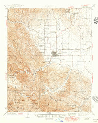
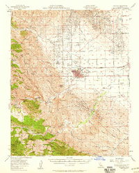
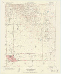
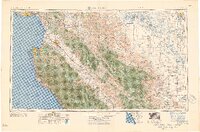
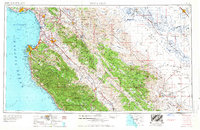
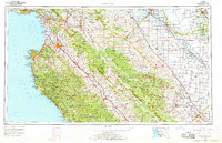
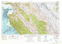
Listed on the National Register of Historic Places in 1982. 11 historic topographic surveys show this location, the earliest from 1912.
One of 44 National Register listings published here for Fresno County · listed in 1982 · category: Building.
Sources: the case file at the National Archives · the National Register database, National Park Service
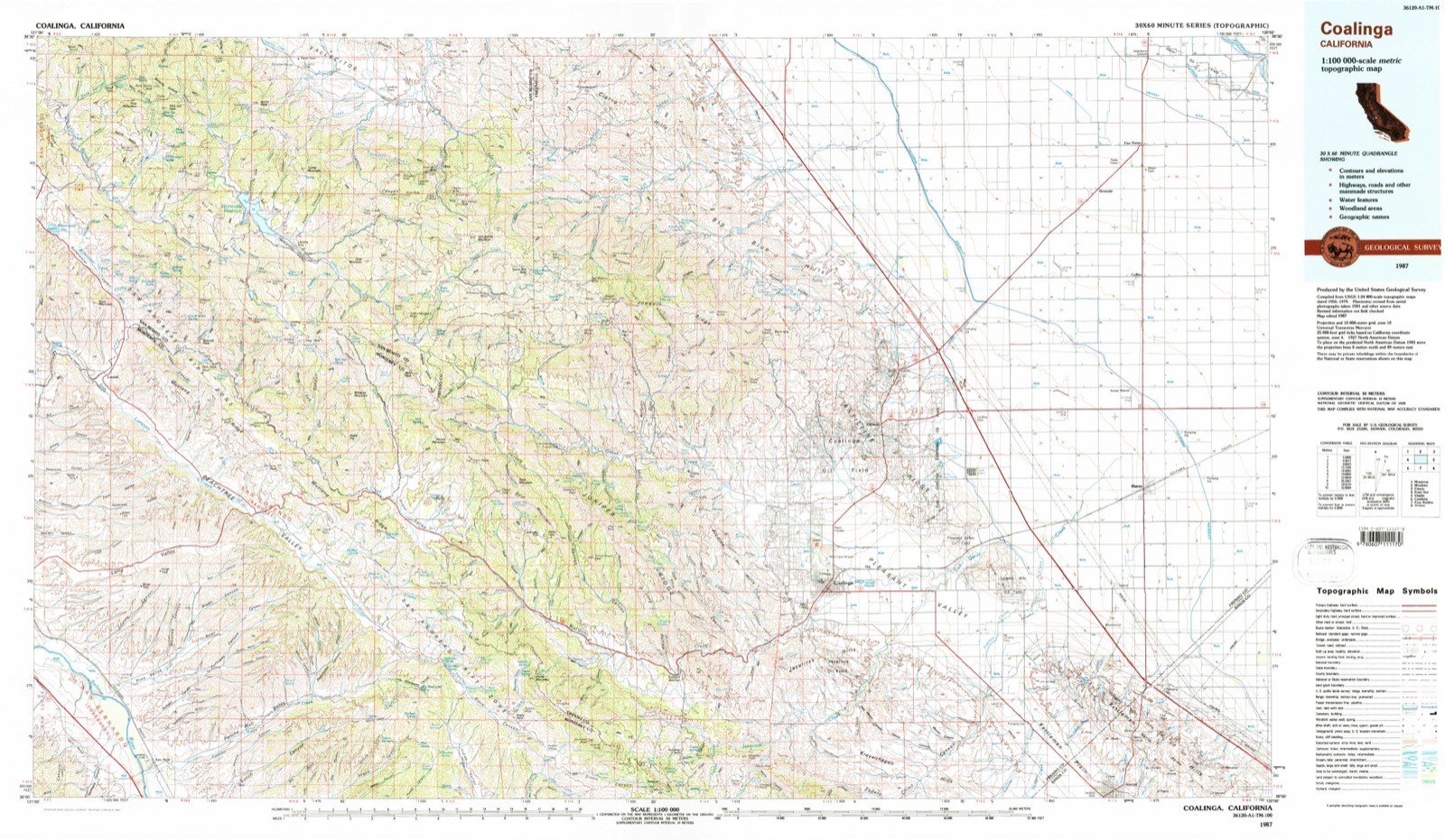
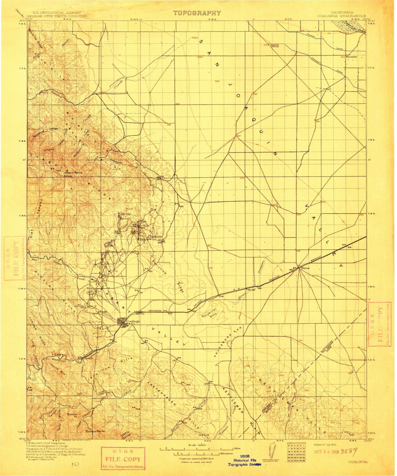
The ground this property stands on, surveyed 75 years apart. Drag the handle to wipe between them. Both sheets are United States Geological Survey originals; neither has been altered.
Regional context, not property-specific evidence. The federal wildfire occurrence database lists 310 fires within 5 miles of Coalinga Polk Street School between 1992 and 2020, burning about 13,486 acres in total. 2 started naturally. 36 were recorded as arson. Distance is straight-line from the map coordinates, so a fire counted here may appear on a neighbouring settlement's page as well.
| Reported cause | Fires |
|---|---|
| Missing data/not specified/undetermined | 127 |
| Equipment and vehicle use | 101 |
| Arson/incendiarism | 36 |
| Power generation/transmission/distribution | 22 |
| Debris and open burning | 13 |
| Smoking | 4 |
| Misuse of fire by a minor | 4 |
| Natural | 2 |
| Recreation and ceremony | 1 |
The most recent of them, most recent first, with the day each was reported and the service that recorded it.
| Date | Cause | Size | Reported by | Name on the report |
|---|---|---|---|---|
| 7 September 2011 | Missing data/not specified/undetermined | 1.0 acres | Fresno-Kings Unit | STONE |
| 6 September 1997 | Equipment and vehicle use | 2.0 acres | Fresno-Kings Unit | CHEVRON |
| 5 September 2018 | Missing data/not specified/undetermined | under an acre | California Department of Forestry & Fire Protection | COALINGA |
| 5 September 2014 | Equipment and vehicle use | 1.0 acres | Fresno-Kings Unit | FIRESTONE |
| 5 September 2009 | Missing data/not specified/undetermined | 2.0 acres | Fresno-Kings Unit | ELM |
| 5 September 2000 | Equipment and vehicle use | 2.0 acres | Fresno-Kings Unit | GAIL |
| 5 September 1994 | Arson/incendiarism | 6.0 acres | Fresno-Kings Unit | FKU-9253 |
| 4 September 2011 | Missing data/not specified/undetermined | 61 acres | Fresno-Kings Unit | JAYNE |
Regional context, not property-specific evidence. The federal mineral resources record lists 14 workings within 5 miles of Coalinga Polk Street School: 6 producers, 4 occurrences, 2 past producers, 1 unknown. 6 still produce. What was taken out: Sand and Gravel, Construction, Gypsum-Anhydrite, Manganese, Stone, Crushed/Broken. Distance is straight-line from the map coordinates, so a quarry counted here may appear on a neighbouring settlement's page as well.
| Where | Site | Commodity | Status | Recorded |
|---|---|---|---|---|
| Dr Gt Montford | Stone, Crushed/Broken | Occurrence | ||
| Avery Prospect | Manganese | Prospect | ||
| Sunset & Sunrise Deposit | Manganese | Past Producer | ||
| Coalinga | Gypsum-Anhydrite | Producer | Sedimentary | |
| Coalinga | Gypsum-Anhydrite | Past Producer | ||
| Coalinga Mine | Gypsum-Anhydrite | Occurrence | ||
| Eureka Gypsum Mines | Gypsum-Anhydrite | Occurrence | ||
| Unnamed Location | Gypsum-Anhydrite | Unknown | ||
| Coalinga Pit | Sand and Gravel, Construction | Producer | ||
| Coalinga Pit | Sand and Gravel, Construction | Producer |
Regional context, not property-specific evidence. The National Weather Service names Coalinga, the town this property stands in, in 30 storm reports between 1997 and 2024: 10 flood, 8 debris flow, 5 flash flood, 3 hail. No death or injury is recorded in these reports. Each account below is quoted exactly as the forecast office filed it, from the NOAA Storm Events Database, and each date opens the federal record of that event.
| When | Event | Place named | Harm | What the report says |
|---|---|---|---|---|
| July 2004 | Wildfire | Coalinga | $80,000 | The Gatos fire was of unknown origin and burned 800 acres. There were no injuries or fatalities although one outbuilding was destroyed and another damaged. |
| January 2010 | Flood | Coalinga | $20,000 | Local highway officials reported flooding on Hwy 198 at Hwy 269. |
| January 2010 | Flood | Coalinga | $15,000 | Law enforcement reported flooding at Highway 33 and Merced Avenue. |
| June 2002 | Wildfire | Coalinga | $15,000 | The WK Hill/33 Fire originated from unknown causes and burned 400 acres near the intersection of Highway 33 and 198 in West Fresno County. No structures were lost nor were there any fatalities or injuries. |
| January 2023 | Flash Flood | Coalinga | $10,000 | The Coalinga Fire Department performed a swift water rescue of a driver from a vehicle which was trapped in high flood waters at the intersection of SR 33 and Phelps Ave. near Los Gatos Creek in Coalinga. The rescue was also reported by local broadcast media. |
| February 2024 | Debris Flow | Coalinga | - | California Highway Patrol reported boulders and rocks sliding down on SR 198 west of Coalinga. |
| January 2023 | Flood | Coalinga | - | California Highway patrol reported a mudslide blocking the roadway on SR 198. |
| June 2023 | Flood | Coalinga | - | California Highway Patrol reported flooding across SR 198 at Parkfield Junction along with rocks and debris. |
| May 2023 | Flood | Coalinga | - | California Highway Patrol reported rocks and mud on the roadway at the intersection of SR 198 and Firestone Ave. |
| December 2023 | Flood | Coalinga | - | California Highway Patrol reported several rocks blocking one lane of SR 198 5SW Coalinga. |
| December 2022 | Debris Flow | Coalinga | - | California Highway Patrol reported falling rocks with regards to a collision 5SW Coalinga on SR 198. |
| January 2021 | Debris Flow | Coalinga | - | California Highway Patrol reported large boulders and mud covering SR 198 at Wartman St. southwest of Coalinga. |
| February 2019 | Debris Flow | Coalinga | - | California Highway Patrol reported rocks and mud on the westbound lane of State Route 198 and some debris on the eastbound lane around 10 miles WSW of Coalinga. |
| February 2019 | Debris Flow | Coalinga | - | California Highway Patrol reported rocks and boulders on the roadway at the intersection of State Route 198 and Firestone Ave. |
| June 2019 | Flash Flood | Coalinga | - | Coalinga Fire Department reported all major streets in downtown Coalinga were completely flooded with several structures damaged by water after a thunderstorm dropped 1.36 inches of rainfall in one hour and 15 minutes. |
| January 2017 | Flood | Coalinga | - | California Highway Patrol reported Highway 198 was closed due to road flooding from Firestone Avenue to the Fresno/Monterey County line west of Coalinga. |
| May 2016 | Debris Flow | Coalinga | - | California Highway Patrol reported mud and debris flow covering SR198 about 10 miles west southwest of Coalinga at 1354 PST. |
| May 2016 | Debris Flow | Coalinga | - | California Highway Patrol reported mud and debris flow covering SR198 about 2 miles south southwest of Coalinga at 1355 PST. |
| May 2016 | Debris Flow | Coalinga | - | California Highway Patrol reported mud and debris flow across SR198 about 8 miles west southwest of Coalinga at 1408 PST. |
| November 2010 | Flood | Coalinga | - | Street flooding in downtown Coalinga at the corner of Highway 198 and Van Ness. Water reached from one side of the street to the other. |
| July 2006 | Heavy Rain | Coalinga | - | Strong thunderstorms were present around Interior Central California during the late afternoon and early evening of the 23rd. One cell in Western Fresno County led to a report of 1.16" of rain in just over an hour. No reports of flooding were received. |
| May 2005 | Flash Flood | Coalinga | - | Coalinga Police Department reported "all roads in town are flooded with some impassable" due to runoff from nearby mountains and ponding water from thunderstorms early in the evening of the 5th. The city reported 1.38" of rain falling from mid-afternoon to early evening. |
| February 1998 | Flash Flood | Coalinga | - | Water and rocks over the roadway from heavy rain in higher terrain above the road. |
| February 1998 | Flood | Coalinga | - | Local city streets with standing water due to heavy rain overwhelming the city drainage system. Local creeks handled the runoff well from the mountains. |
| April 2006 | Flash Flood | Coalinga | - | no account filed |
| September 2005 | Heavy Rain | Coalinga | - | no account filed |
| September 2005 | Hail | Coalinga | - | no account filed |
| March 2001 | Flood | Coalinga | - | no account filed |
| October 2000 | Hail | Coalinga | - | no account filed |
| March 1997 | Hail | Coalinga | - | no account filed |
United States Geological Survey topographic sheets whose coverage includes this point. Matched by taking the coordinate the National Park Service records for this property, then testing that coordinate against the published boundary of every sheet.
| National Archives record | The nomination case file for reference 82002175 in Record Group 79. |
| Fresno County | All 44 listed properties in this county. |